The best gravel rides around Parco naturale della Alta Valle Pesio e Tanaro
4.6
(18)
290
riders
11
rides
Gravel biking around Parco naturale della Alta Valle Pesio e Tanaro offers routes through the Ligurian Alps, characterized by a calcareous massif and diverse ecosystems. The terrain includes unpaved roads, challenging ascents, and comfortable dirt roads along torrents. Riders will find winding paths through forests of silver fir, beech, and chestnut, often providing panoramic views of the valleys. The region's physical features make it suitable for varied gravel biking experiences.
Best gravel bike trails around Parco naturale della Alta Valle…
Last updated: July 6, 2026
41
riders
107km
09:02
3,510m
3,510m
Hard gravel ride. Very good fitness required. Mostly paved surfaces. Suitable for all skill levels.
4.2
(5)
54
riders
58.9km
04:54
1,940m
1,940m
Hard gravel ride. Very good fitness required. Mostly paved surfaces. Suitable for all skill levels.

Sign up for free
5.0
(1)
15
riders
50.4km
03:51
1,430m
1,430m
Hard gravel ride. Very good fitness required. You may need to push your bike for some segments of this route.
4.0
(1)
11
riders
29.1km
02:40
950m
950m
Hard gravel ride. Very good fitness required. Mostly paved surfaces. Suitable for all skill levels.
5.0
(1)
33
riders
81.6km
07:06
2,830m
2,830m
Hard gravel ride. Very good fitness required. Mostly paved surfaces. Suitable for all skill levels.
Get access to more routes and recommendations from other explorers.
Sign up for free
Already have an account?
Our route recommendations are based on thousands of hikes, rides, and runs completed by other people on komoot.
Start today with a free account
Your next adventure awaits.
Login or Signup
Popular around Parco naturale della Alta Valle Pesio e Tanaro

GTA South Piedmont — Hiking in Italy's Occitan valleys
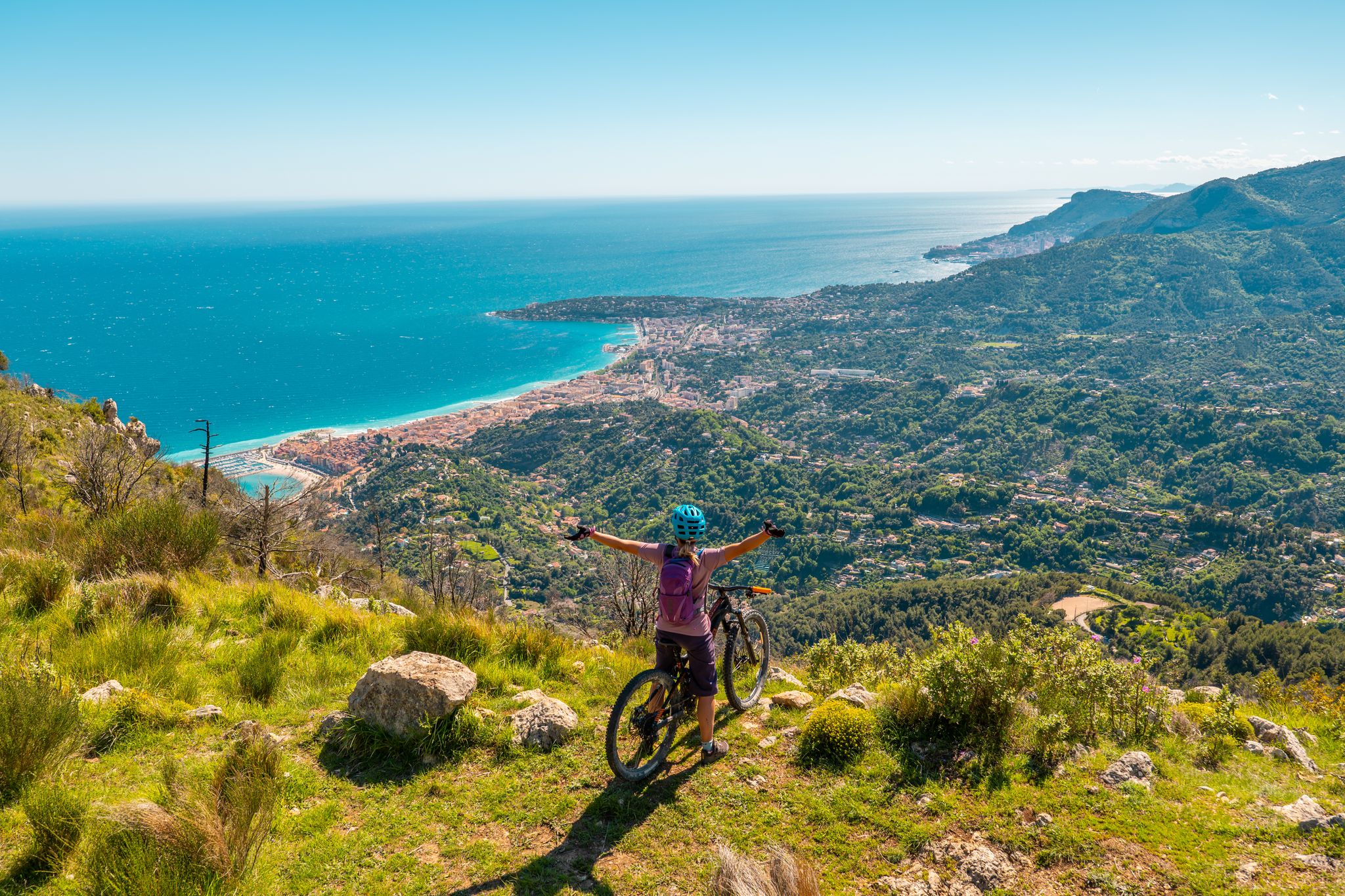
RivierALP – MTB routes from alpine passes to the Riviera
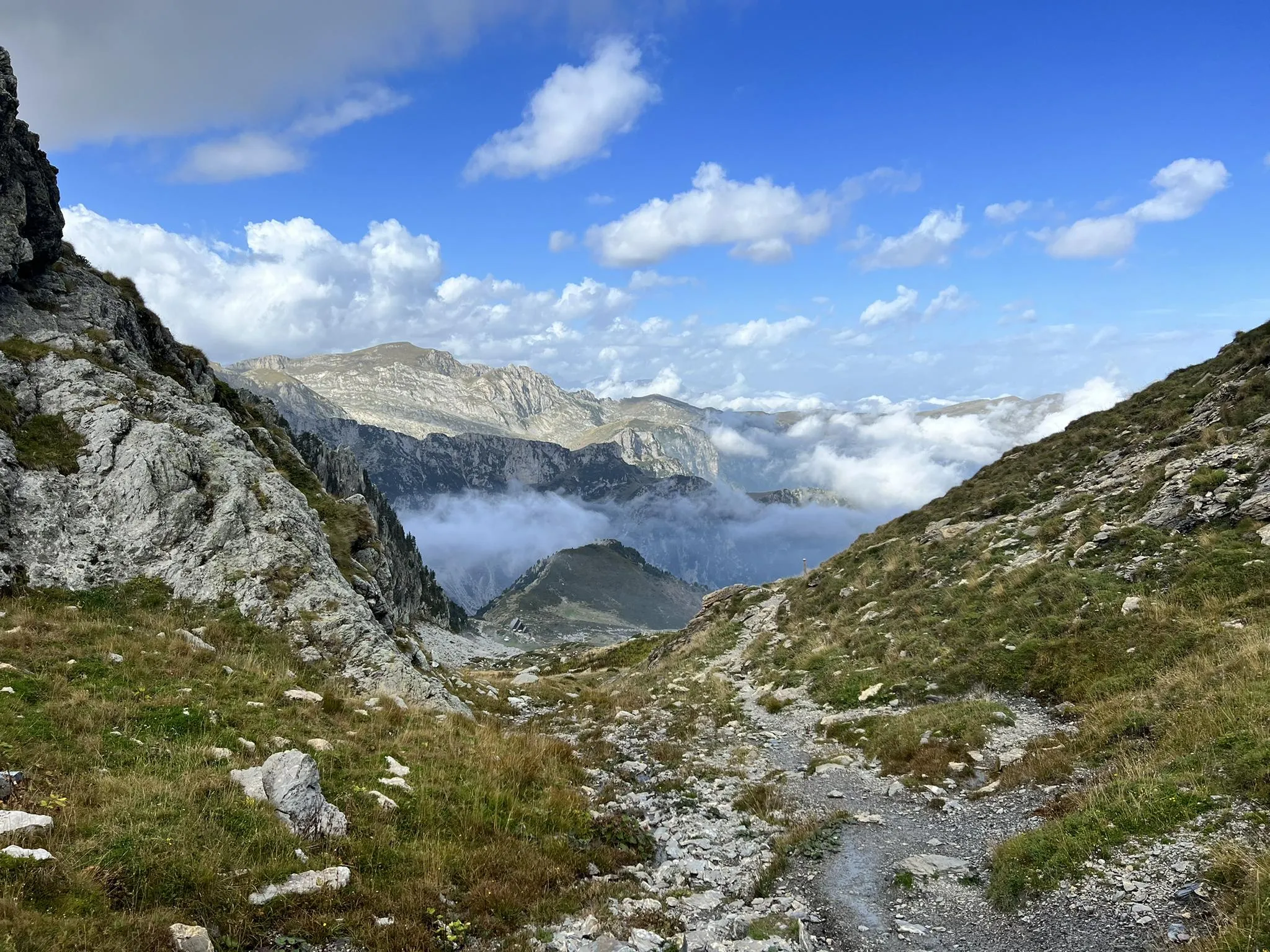
Explore the highest peak in Italy's Ligurian Alps – Giro del Marguareis
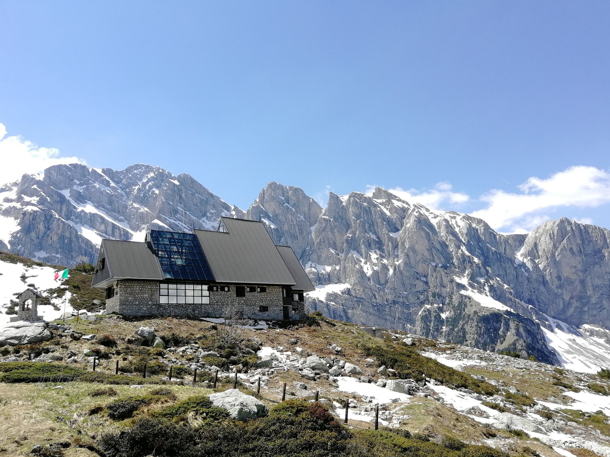
Marguareis Tour – discover caves, ravines and karstic rocks in Italy
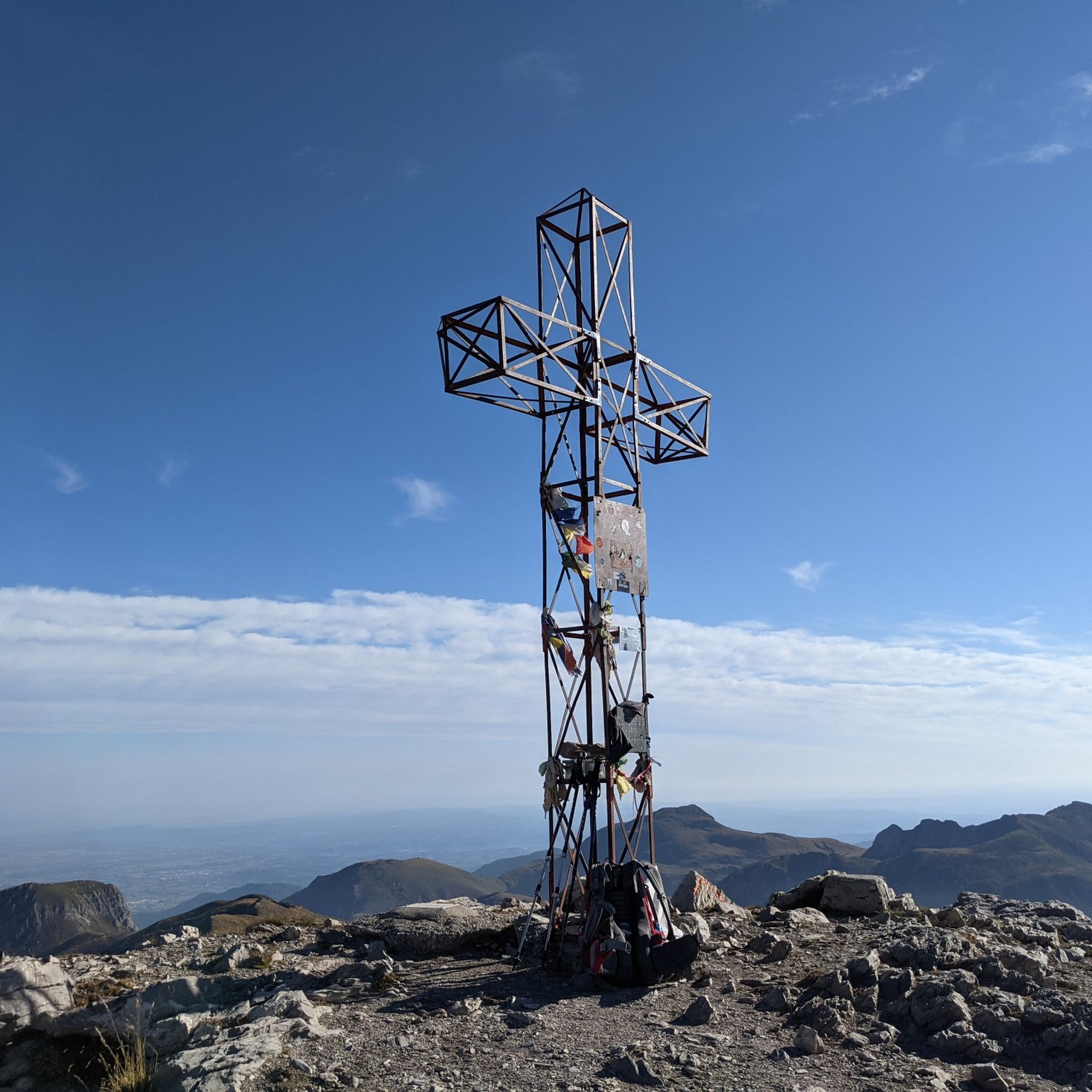
Hiking around Parco naturale della Alta Valle Pesio e Tanaro
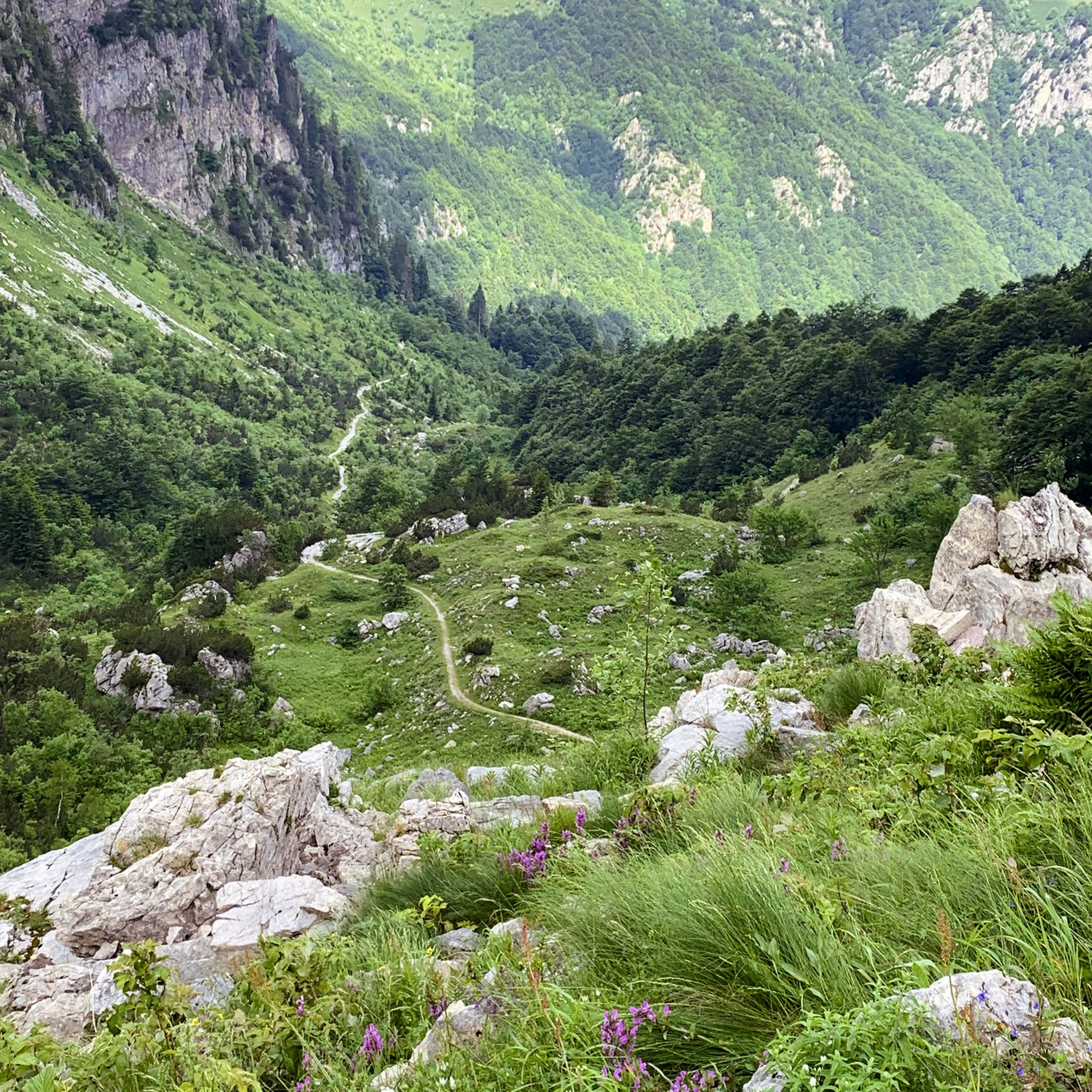
MTB Trails around Parco naturale della Alta Valle Pesio e Tanaro
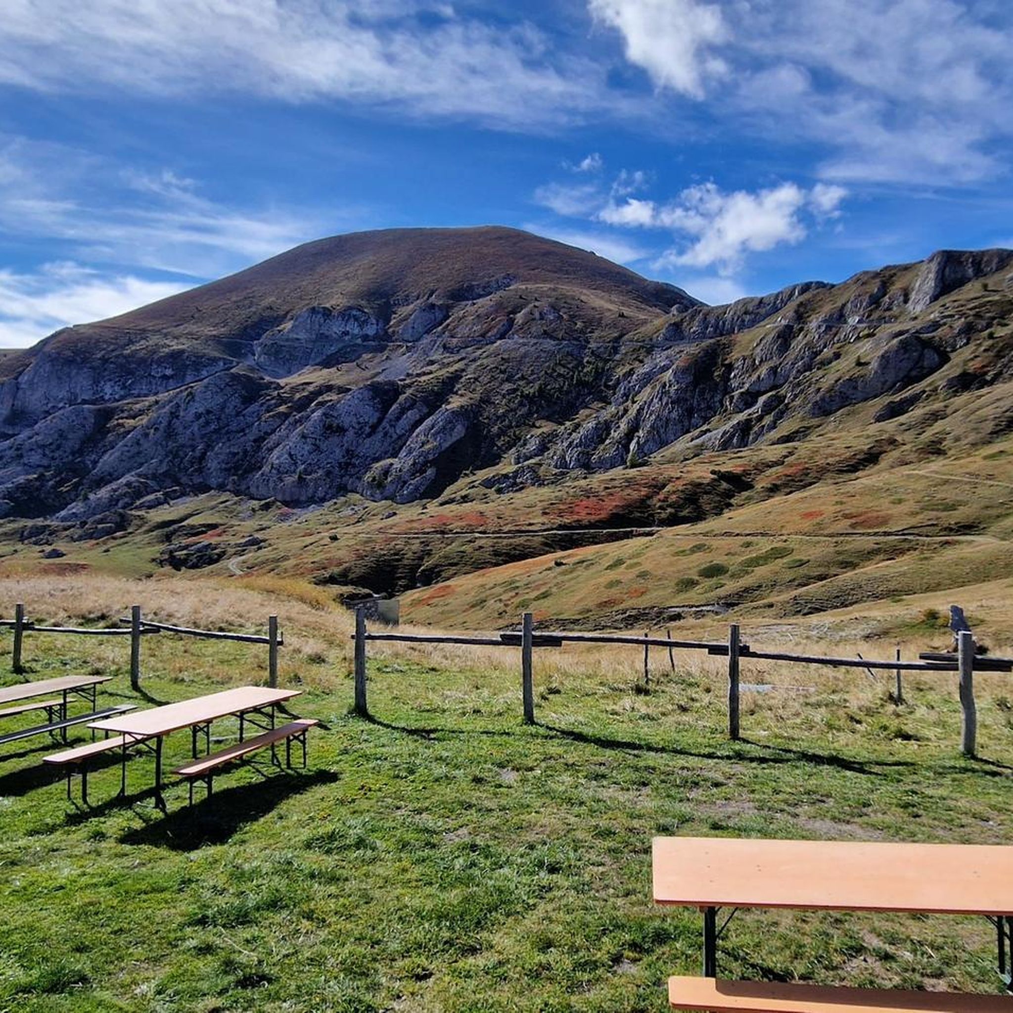
Running Trails around Parco naturale della Alta Valle Pesio e Tanaro
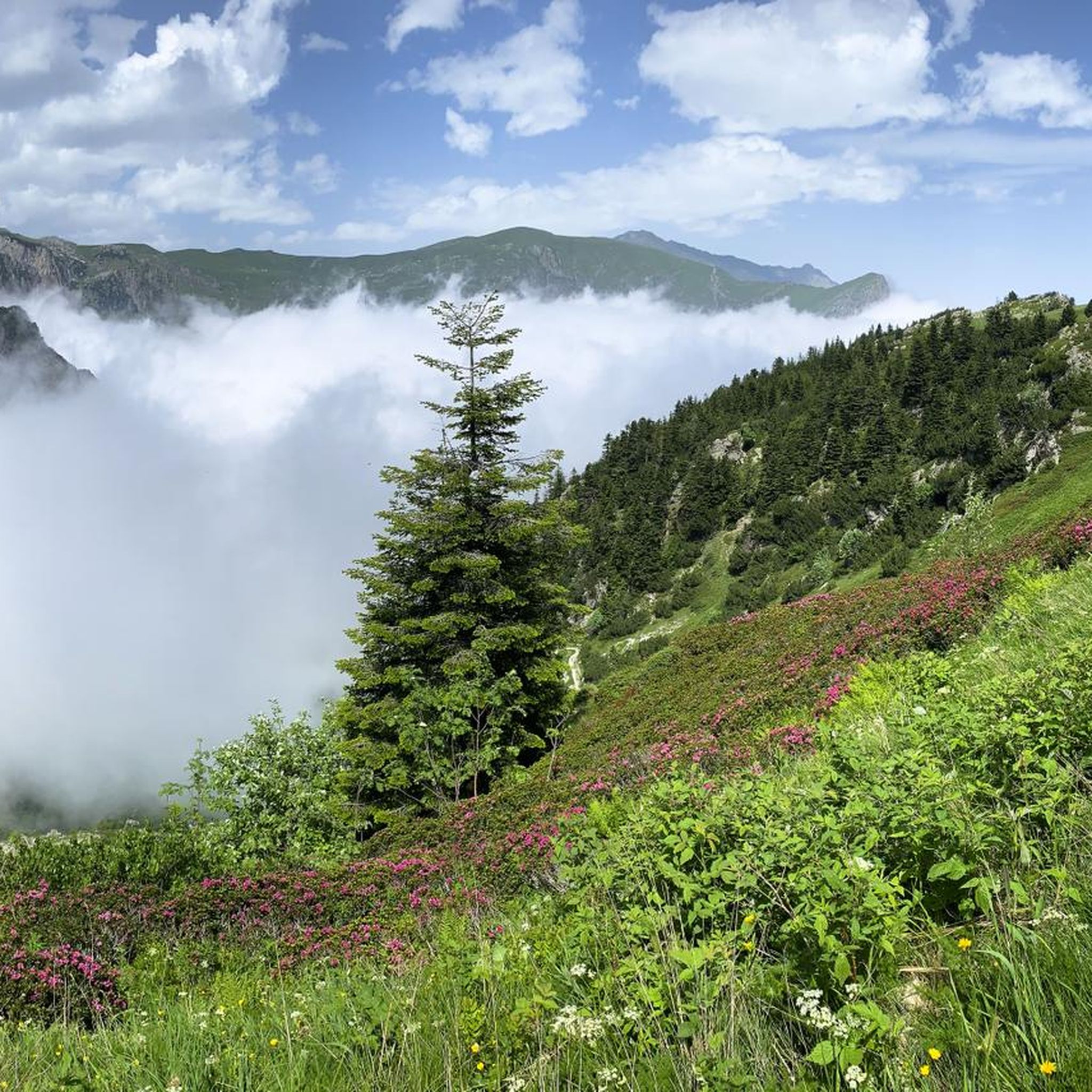
Cycling around Parco naturale della Alta Valle Pesio e Tanaro
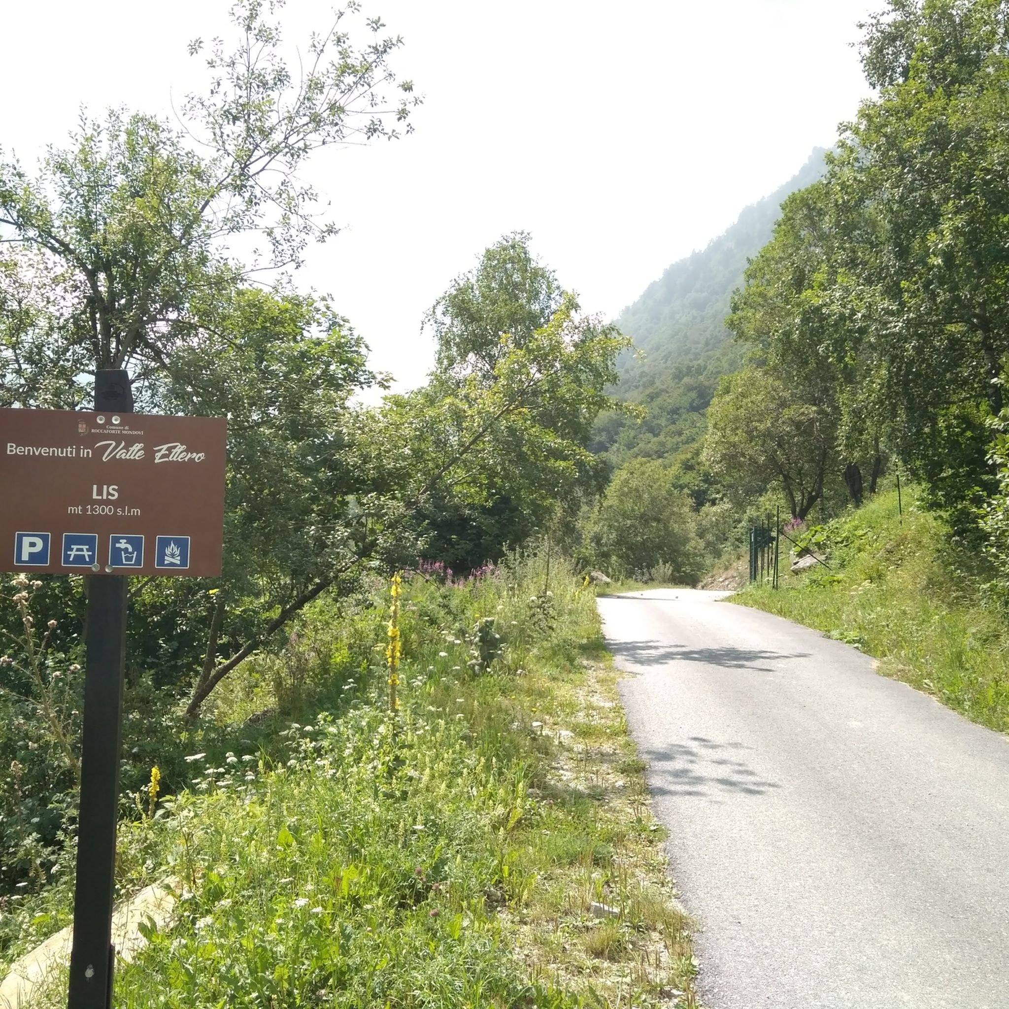
Road Cycling Routes around Parco naturale della Alta Valle Pesio e Tanaro
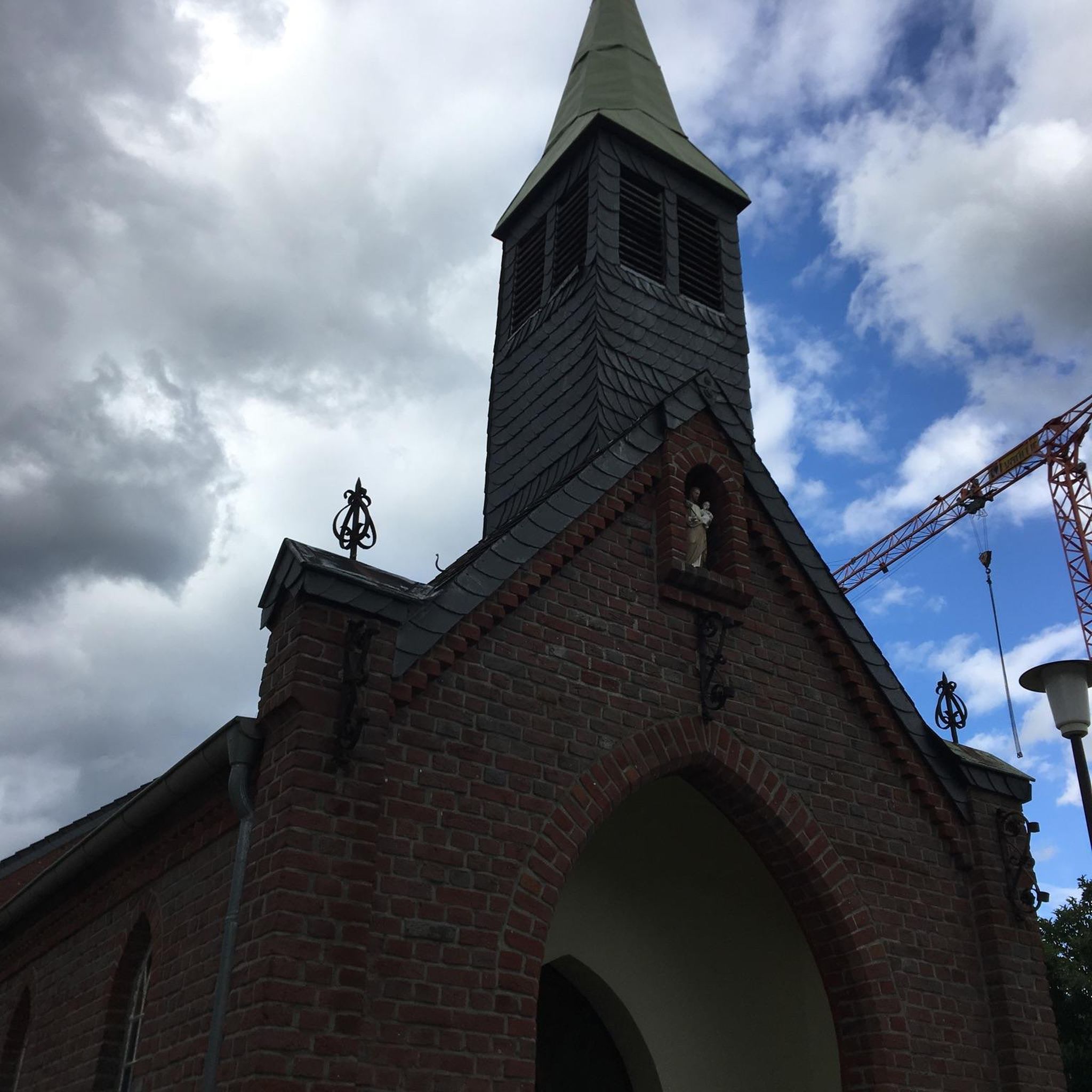
Mountain Hikes around Parco naturale della Alta Valle Pesio e Tanaro
Other adventures around Parco naturale della Alta Valle Pesio e Tanaro


Tips from the Community

The Col de Boarïa is an ancient pastoral pass in the Ligurian Alps, culminating at about 2,100 meters above sea level. Once used for transhumance and exchanges between alpine valleys, it connected routes near the Franco-Italian border.
0
1

Col di Tenda and the possibilities it offers to the slow traveler
0
0
Another fabulous pass on a wonderful road
0
0
Beautiful town, tidy and clean
0
0

Great spot for a break and panoramic photos, an iconic and unique hairpin bend
0
0

The famous and much photographed hairpin bend
0
0
Where the Salt Road Begins
0
0

Beautiful landscapes immersed in nature. At times it looks like a lunar landscape.
0
0
Frequently Asked Questions
What kind of terrain can I expect on gravel bike trails in Parco naturale della Alta Valle Pesio e Tanaro?
The region is known for its diverse terrain, featuring unpaved roads, challenging ascents, and comfortable dirt roads that often follow torrents. You'll navigate winding paths through enchanting forests of silver fir, beech, and chestnut, frequently offering panoramic views of the valleys below. The prominent Alta Via del Sale is a famous high-altitude dirt road, and the Ciclovia del Duca follows a challenging former military road.
Are there any easy gravel biking routes for beginners or families in the park?
The gravel biking routes listed in this guide for Parco naturale della Alta Valle Pesio e Tanaro are generally considered difficult, featuring significant elevation gains and varied terrain. While the park offers diverse cycling options, those specifically highlighted for gravel biking are more suited for experienced riders. For families or beginners, it's advisable to seek out less challenging sections or consult local information for easier paths within the broader park area.
What are some notable natural features or landmarks to look out for while cycling?
The park is rich in natural beauty. You'll encounter the imposing Marguareis Massif, a calcareous formation with evident karst phenomena, including numerous caves. Keep an eye out for resurgence points where underground rivers emerge. The park also boasts an extraordinary botanical variety, with lush forests and diverse plant species. Notable highlights include Pian delle Gorre and the scenic Marguareis Lake.
What is the best time of year for gravel biking in Parco naturale della Alta Valle Pesio e Tanaro?
The best time for gravel biking in this alpine region is typically from late spring through early autumn. During these months, the weather is generally more stable, and the higher-altitude routes are free of snow. Always check local weather conditions before heading out, as mountain weather can change rapidly.
Are there any long-distance gravel biking options available?
Yes, the region is ideal for longer rides. The famous Alta Via del Sale, a high-altitude dirt road, stretches between Colle di Tenda and Monesi di Triora, offering expansive views and the possibility for multi-day tours. Routes like the Limone Piemonte town centre – Chalet Le Marmotte loop from Limone Piemonte also provide a substantial challenge, covering nearly 60 km with significant elevation.
Can I find circular gravel bike routes in the area?
Yes, many of the gravel bike routes in Parco naturale della Alta Valle Pesio e Tanaro are designed as loops, allowing you to start and finish in the same location. For example, the Chalet Le Marmotte – Forte Margheria loop from Limone Piemonte is a popular circular option, offering varied terrain and sustained climbs.
What do other gravel bikers say about the routes in Parco naturale della Alta Valle Pesio e Tanaro?
The routes in Parco naturale della Alta Valle Pesio e Tanaro are highly rated by the komoot community, with an average score of 4.6 stars from over 10 reviews. More than 200 gravel bikers have explored the varied terrain, often praising the stunning alpine landscapes, challenging ascents, and the unique experience of riding through dense forests with panoramic views.
Are there any historical or cultural sites accessible by gravel bike?
Yes, beyond its natural beauty, the park offers cultural and historical points of interest. The Certosa di Pesio, a Carthusian monastery founded in 1173, is a significant historical landmark that has shaped the valley. While not directly on all gravel routes, it's a notable site within the broader region.
Where can I find parking for gravel biking trails in the park?
Parking availability varies depending on the specific starting point of your chosen route. Many trailheads, especially near towns like Limone Piemonte or Limonetto, offer designated parking areas. For routes like the Col de Tende Hairpin Road – Fort Tabourde loop from Cime de Pépin, you would typically find parking near the starting point in Cime de Pépin.
Are there mountain refuges available for multi-day tours?
Yes, the park features a network of welcoming mountain refuges, such as Garelli, Mondovì, and Pian Rosso. These refuges make it possible to undertake multi-day tours of the Marguareis massif, providing essential stops for rest and resupply during longer gravel biking adventures.
What kind of wildlife might I encounter while gravel biking in the park?
The Parco naturale della Alta Valle Pesio e Tanaro is home to rich alpine fauna. You might spot typical alpine species such as chamois, deer, roe deer, and marmots. The area also hosts a diverse alpine avifauna, including black grouses, black woodpeckers, and eagles. Wolves, which have returned to the ecosystem, are also present, though sightings are rare.
Are there specific regulations for gravel biking within the natural park?
As a natural park, there may be specific regulations regarding trail usage, environmental protection, and access, especially for certain sensitive areas or during specific seasons. It's always recommended to check the official park website or local information centers for the most up-to-date rules and any required permits before your ride. For general information about the park, you can visit visitcuneese.it.
Most popular routes around Parco naturale della Alta Valle Pesio e Tanaro
Most popular attractions around Parco naturale della Alta Valle Pesio e Tanaro

Get inspired with the komoot mobile app


Explore more
Browse the best Gravel rides in other regions.
