The best running trails around Parco naturale della Alta Valle Pesio e Tanaro
4.4
(10)
792
runners
19
runs
Jogging around Parco naturale della Alta Valle Pesio e Tanaro offers diverse running routes through varied terrain. The region is characterized by the Marguareis Massif, the highest peak in the Ligurian Alps, providing a mountainous backdrop. Runners can explore extensive forests of silver fir, beech, and larch, traverse ancient salt roads, and follow paths alongside the Pesio River springs. The landscape combines challenging alpine sections with serene forest paths, making it suitable for experienced runners.
Best jogging routes around Parco naturale della Alta Valle Pesio e Tanaro
- The most popular jogging route is Running up to Marguareis peak, a 3.6 miles (5.9 km) trail that takes 1 hour 17 minutes to complete. This difficult route features significant elevation gain towards the peak.
- Another top favourite among local runners is Running up to the Summit of Saline, a difficult 6.9 miles (11.1 km) path. This route involves substantial climbing through alpine landscapes.
- Local runners also love the Rifugio Don Barbera – Rifugio Piero Garelli loop from Carnino Superiore, a 25.3 miles (40.7 km) trail leading through high mountain terrain, often completed in about 7 hours 34 minutes.
- Jogging around Parco naturale della Alta Valle Pesio e Tanaro is defined by alpine peaks, dense forests, and river valleys. The network offers options primarily for experienced runners seeking challenging trails.
- The routes in Parco naturale della Alta Valle Pesio e Tanaro are highly rated by the komoot community with an average score of 4.4 stars from over 8 reviews. More than 800 runners have used komoot to explore Parco naturale della Alta Valle Pesio e Tanaro's varied terrain.
Last updated: July 7, 2026
3
runners
5.87km
01:18
490m
490m
Hard run. Very good fitness required. Sure-footedness, sturdy shoes and alpine experience required.
11.1km
02:47
1,160m
1,160m
Grand Italian Trail - Stage E03 is a difficult 6.9-mile (11.1 km) route in Parco Naturale del Marguareis, with 3822 feet (1165 metres) of el

Sign up for free
157
runners
27.6km
04:33
1,460m
1,460m
Hard run. Very good fitness required. Sure-footedness, sturdy shoes and alpine experience required.
52
runners
40.6km
07:34
2,560m
2,560m
Hard run. Very good fitness required. Sure-footedness, sturdy shoes and alpine experience required.
35
runners
42.8km
07:59
2,740m
2,750m
Hard run. Very good fitness required. Sure-footedness, sturdy shoes and alpine experience required.
Get access to more routes and recommendations from other explorers.
Sign up for free
Already have an account?
Our route recommendations are based on thousands of hikes, rides, and runs completed by other people on komoot.
Start today with a free account
Your next adventure awaits.
Login or Signup
Popular around Parco naturale della Alta Valle Pesio e Tanaro
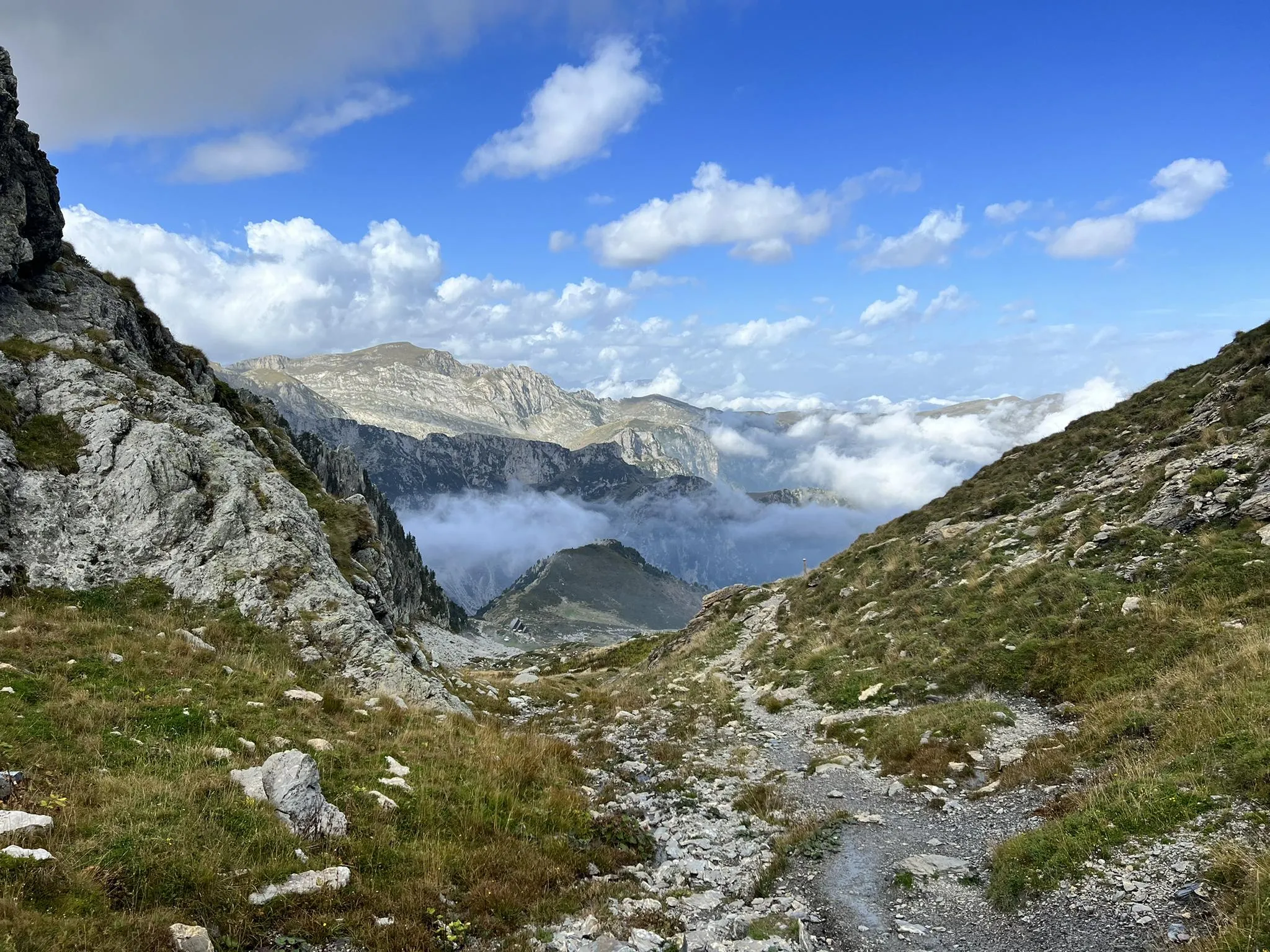
Explore the highest peak in Italy's Ligurian Alps – Giro del Marguareis

GTA South Piedmont — Hiking in Italy's Occitan valleys
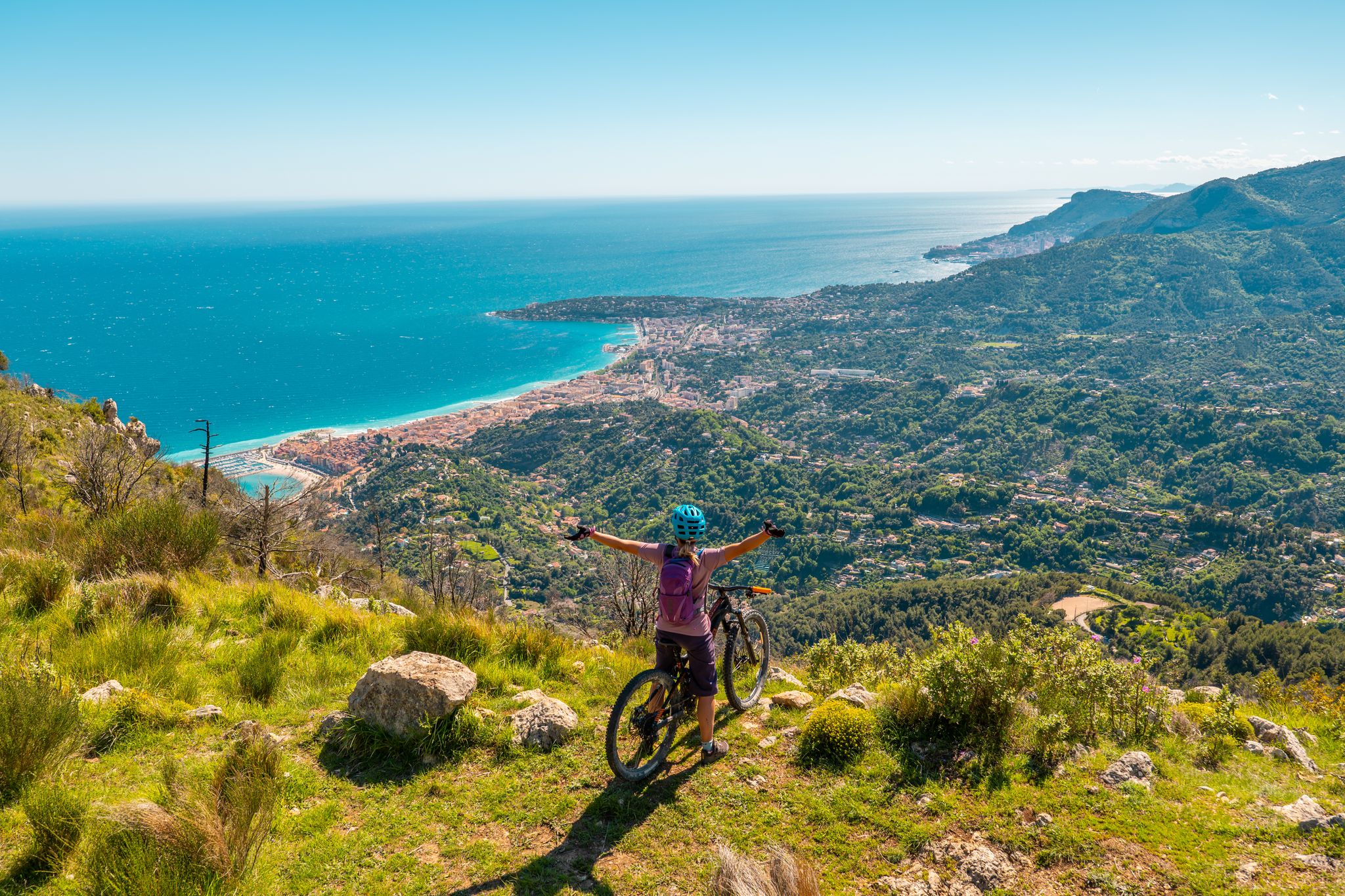
RivierALP – MTB routes from alpine passes to the Riviera
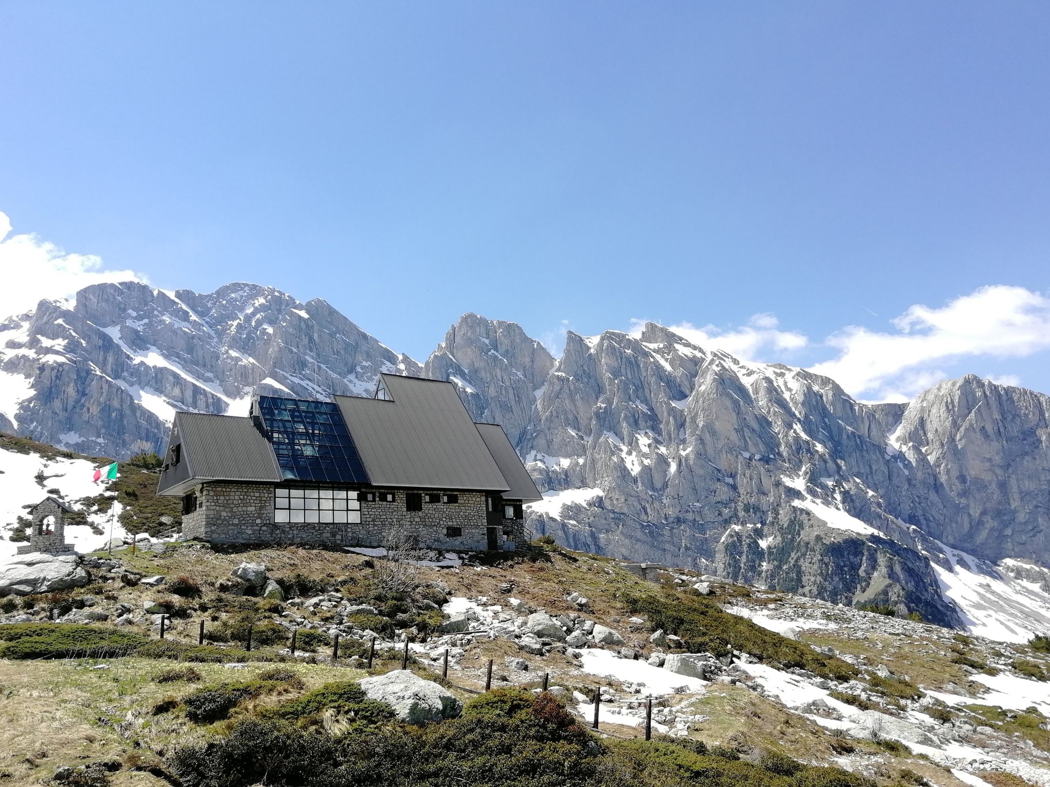
Marguareis Tour – discover caves, ravines and karstic rocks in Italy
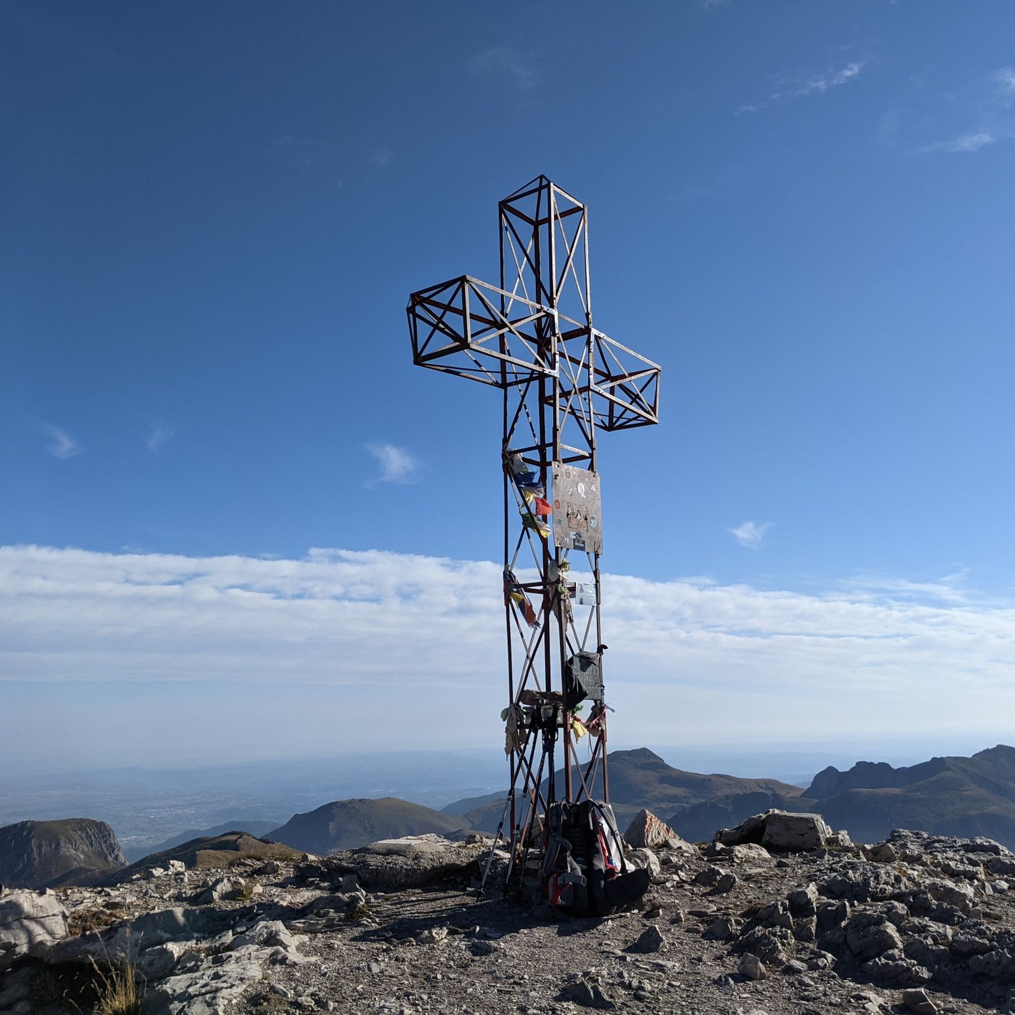
Hiking around Parco naturale della Alta Valle Pesio e Tanaro
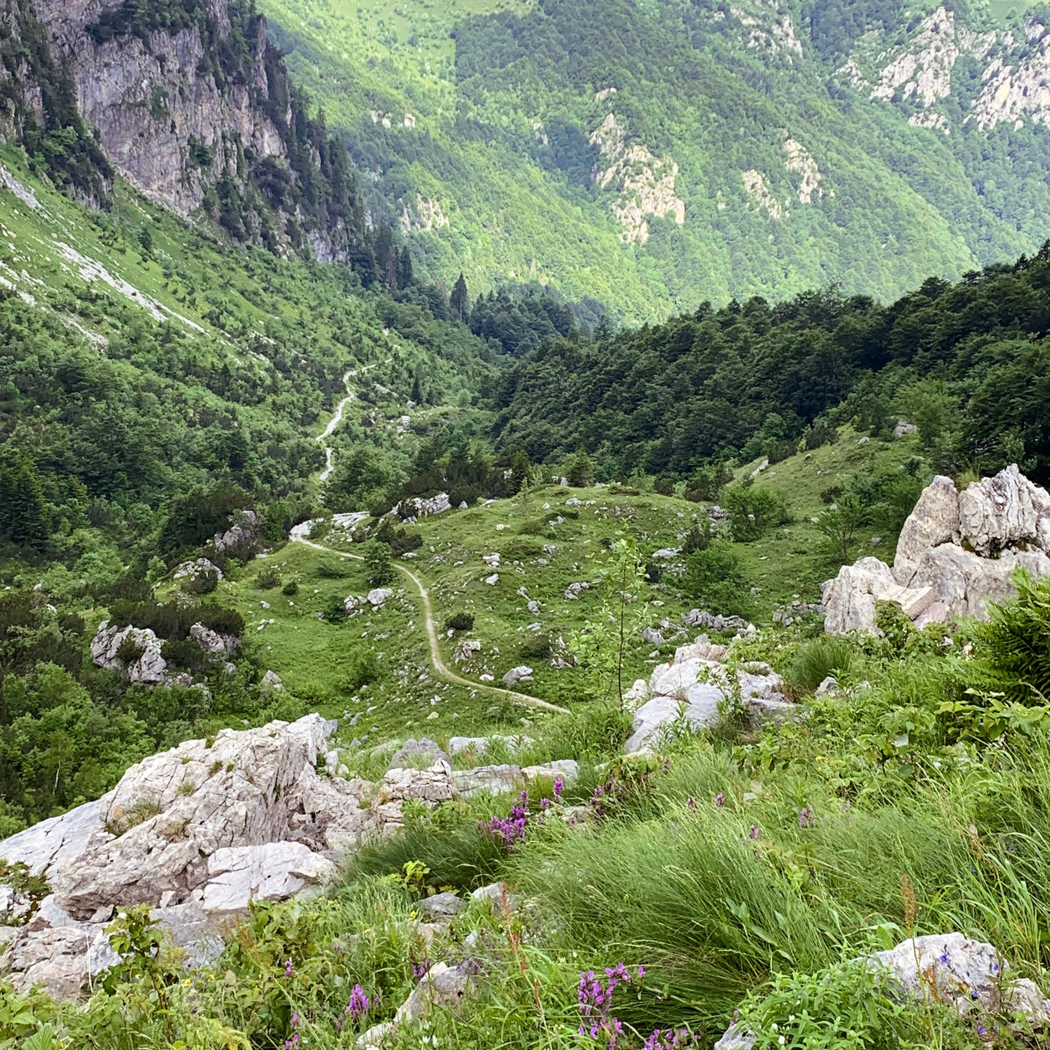
MTB Trails around Parco naturale della Alta Valle Pesio e Tanaro
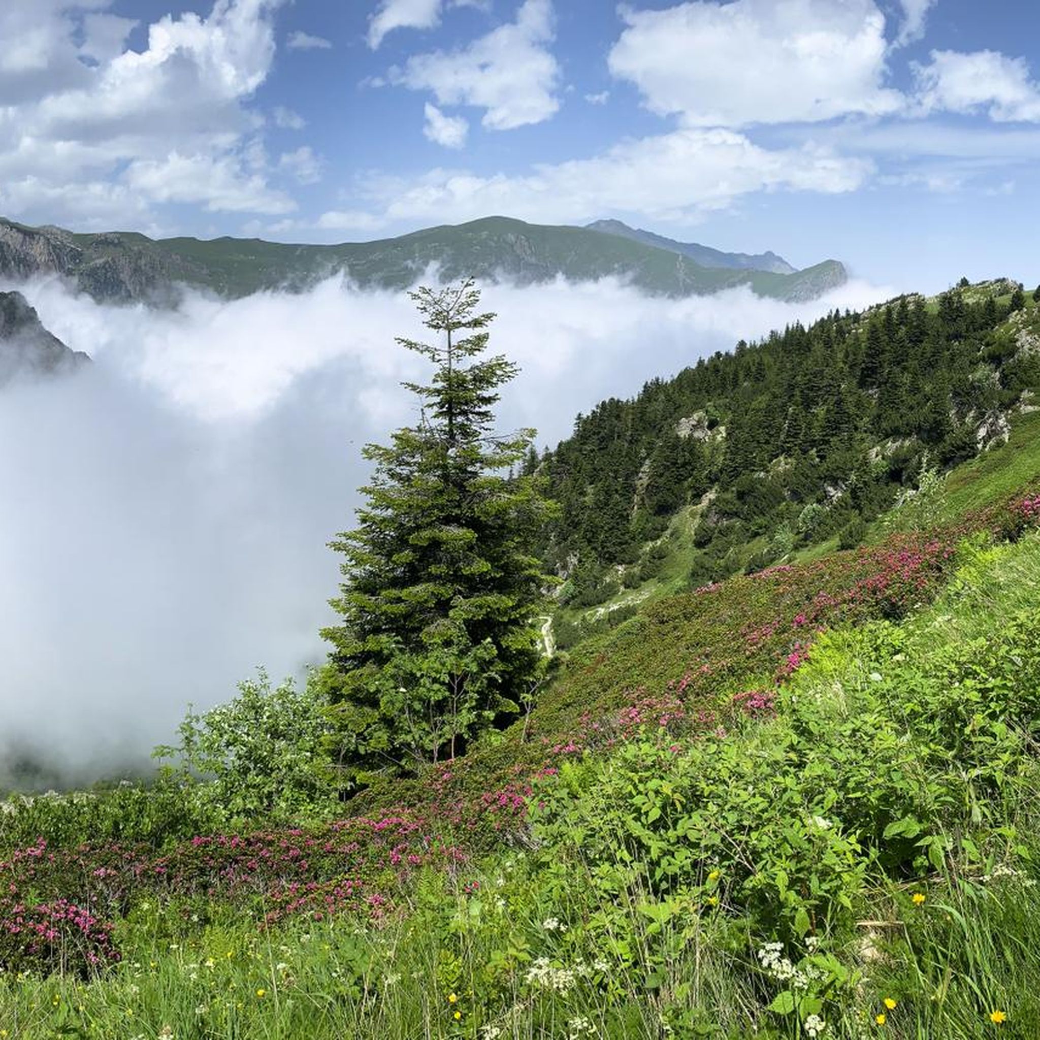
Cycling around Parco naturale della Alta Valle Pesio e Tanaro

Gravel biking around Parco naturale della Alta Valle Pesio e Tanaro
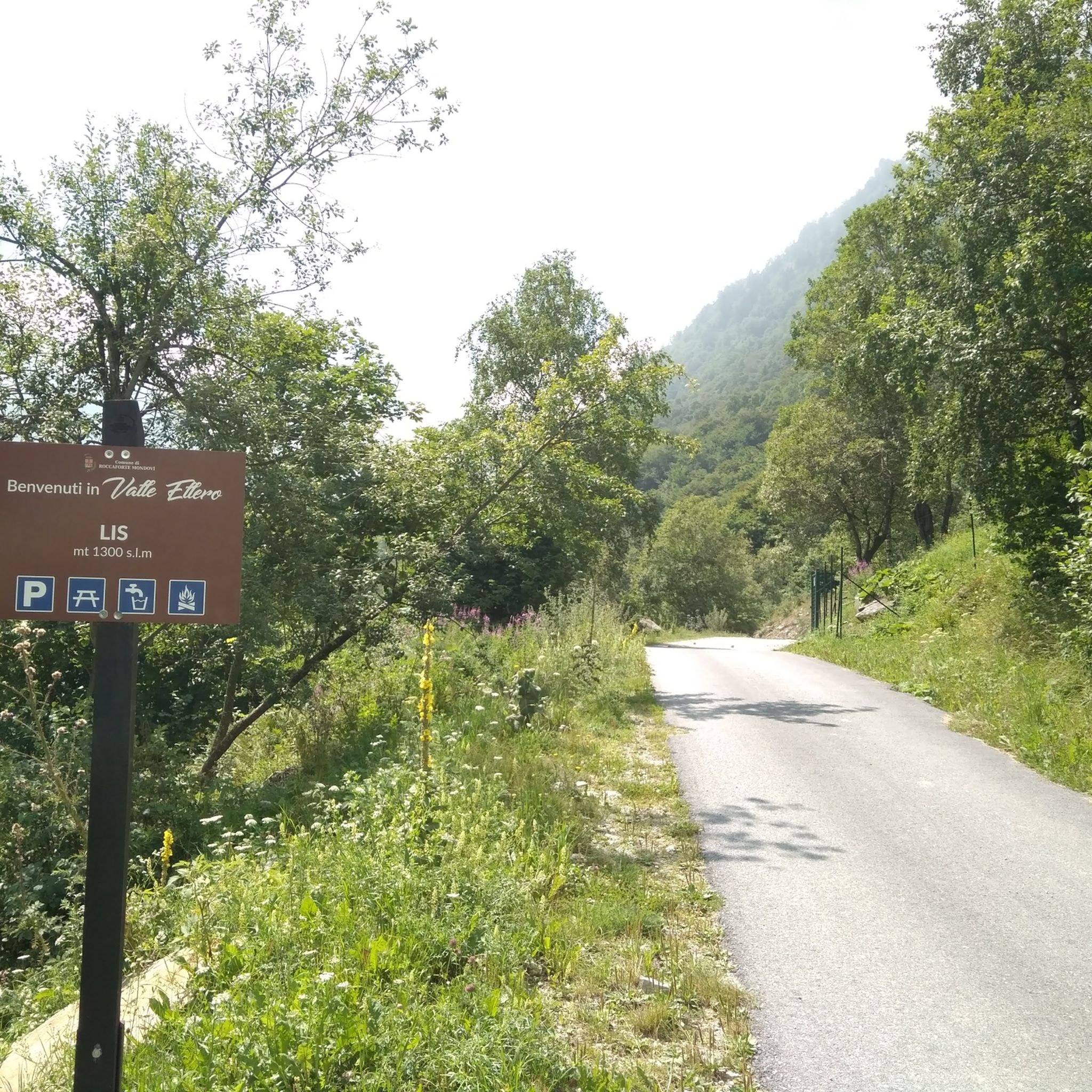
Road Cycling Routes around Parco naturale della Alta Valle Pesio e Tanaro
Mountain Hikes around Parco naturale della Alta Valle Pesio e Tanaro
Other adventures around Parco naturale della Alta Valle Pesio e Tanaro


Tips from the Community

Located at 1,928 meters above sea level in the heart of the homonymous Natural Park, this small alpine body of water lies in a picturesque grassy hollow right at the foot and start of the famous Torinesi and Genovesi canals. Next to the lake is the Rifugio Garelli with the adjacent botanical station "Danilo Re". Being a protected area with a very high biodiversity value, it is the ideal place to stop and observe up close the rich flora typical of the park and, with a bit of attention, spot the chamois and marmots that inhabit the area.
0
0

Very panoramic on certain days you can see the sea!
0
0

Beautiful and direct ascent from Don Barbera
0
0

It is the other name to define the Porta Sestrera, which separates the Pesio valley from the Ellero valley
0
0
High point at 2225 metres above sea level that connects the Pesio valley with the Ellero valley, and in about 2 hours of walking the path that passes through here connects the Piero Garelli refuge with the Havis de Giorgio refuge
0
0

the climb from the east from the Passo delle Saline is almost all on scree, if you are able I find it much better to get to the top by going through Colle del Pas + Cima Pian Ballaur (the route gets longer) or from the Canale delle Masche (easy mountaineering)
1
0

very busy refuge as you can get there by car (as long as there is space, then they close the road). Also it is the starting point for many hikes.
1
0
High point of the path which descends from one side towards Lake Biecai and from the other descends towards the Mondovì refuge
0
0
Frequently Asked Questions
How many running routes are available in the Parco naturale della Alta Valle Pesio e Tanaro?
The Parco naturale della Alta Valle Pesio e Tanaro offers over 20 running routes, primarily catering to experienced runners seeking challenging trails. These routes are highly rated by the komoot community, with an average score of 4.4 stars.
What kind of terrain can I expect when running in Parco naturale della Alta Valle Pesio e Tanaro?
Runners can expect diverse terrain, ranging from challenging alpine sections with significant elevation gain to serene forest paths. The park is dominated by the majestic Marguareis Massif and features extensive forests of silver fir, beech, and larch, as well as paths alongside the Pesio River springs. Some trails follow ancient 'salt roads' and military roads, offering varied landscapes.
Are there any easy or beginner-friendly running routes in the park?
The running routes in Parco naturale della Alta Valle Pesio e Tanaro are generally considered difficult, with all 21 listed routes categorized as such. They often involve substantial climbing and alpine landscapes, making them more suitable for experienced runners with good fitness and appropriate gear.
What natural features or landmarks can I see while jogging?
While jogging, you can encounter stunning natural features like the Marguareis Massif and the extensive karst system with its deep caves. The park is rich in biodiversity, with approximately 1500 plant species. You might also pass picturesque waterfalls and the refreshing Pesio River springs. Notable landmarks include the historic Rifugio Don Barbera and Piero Garelli Hut, as well as the Saline Peak and Marguareis Lake.
Are there any circular running routes in the region?
Yes, there are several circular running routes. For instance, the challenging Rifugio Don Barbera – Rifugio Piero Garelli loop from Carnino Superiore is a long trail through high mountain terrain. Another option is the Gias Sottano di Sestrera – Rifugio Don Barbera loop from Parcheggio Pian delle Gorre, which also offers a significant challenge.
Can I bring my dog on the running trails in Parco naturale della Alta Valle Pesio e Tanaro?
While the park is generally welcoming to outdoor enthusiasts, specific regulations regarding dogs on trails can vary. It's always best to check with the park authority directly for the most current rules on bringing dogs, especially in protected areas or near wildlife observation points, to ensure a pleasant and compliant experience.
What is the best time of year for jogging in the Parco naturale della Alta Valle Pesio e Tanaro?
The best time for jogging typically depends on the specific route and your experience level. During warmer months, the extensive forests of silver fir, beech, and larch provide varied scenery and shaded routes. For higher alpine trails, summer and early autumn offer more favorable conditions. In winter, some trails may be covered in snow, but the articulated cross-country ski track from San Bartolomeo could potentially be used for winter running or snowshoeing.
Are there mountain refuges along the routes for longer runs or multi-day treks?
Yes, the park features several mountain refuges that serve as excellent stopping points and support for longer excursions. Notable refuges include Rifugio Don Barbera, Garelli, Mondovì, and Pian delle Gorre. These can be crucial for multi-day treks around the Marguareis massif.
What kind of wildlife might I encounter while running in the park?
The park's unique geographical position and diverse habitats support abundant wildlife. Joggers might encounter typical alpine species such as chamois, deer, roe deer, and marmots. The area is also home to eagles and even wolves, making for a truly immersive natural experience. Near Pian delle Gorre, there is a wildlife observatory.
Are there any specific routes that feature waterfalls?
The region is known for its picturesque waterfalls, and various hiking routes highlight these natural attractions. While specific jogging routes are not explicitly named for waterfalls in the provided data, the presence of the Pesio River springs and general mentions of waterfalls in the region research suggest that many trails along river valleys or through forested areas will offer views of these beautiful features.
What do other runners enjoy the most about jogging in Parco naturale della Alta Valle Pesio e Tanaro?
The area is highly rated by the komoot community, with an average score of 4.4 stars from over 8 reviews. Runners often praise the challenging alpine sections, the serene forest paths, and the stunning natural wonders that make the park an ideal destination for outdoor activities. The diverse landscapes and extensive trail network are frequently highlighted.
Where can I find parking for the running routes?
Many routes, especially those leading to refuges or popular starting points, will have designated parking areas. For example, the Gias Sottano di Sestrera – Rifugio Don Barbera loop starts from Parcheggio Pian delle Gorre, indicating available parking at that location. It's advisable to check the specific route details on komoot for parking information at your chosen starting point.
Are there any cultural landmarks to explore near the running trails?
Yes, the historic Certosa di Pesio, a monastery founded in 1173, is a significant cultural landmark nestled in the valley amidst chestnut and fir woods. It offers a tranquil setting and a glimpse into the region's rich history, providing a cultural complement to the natural beauty of the running trails.
Most popular routes around Parco naturale della Alta Valle Pesio e Tanaro
Most popular attractions around Parco naturale della Alta Valle Pesio e Tanaro

Get inspired with the komoot mobile app


Explore more
Browse the best Running Trails & Routes in other regions.
