The best walks and hikes around Parco naturale della Alta Valle Pesio e Tanaro
4.5
(3038)
18,450
hikers
81
hikes
Hiking around Parco naturale della Alta Valle Pesio e Tanaro offers diverse landscapes within the Ligurian Alps, characterized by the imposing Marguareis Massif, which includes peaks up to 2,651 meters. The park features an extensive karst system, often referred to as the "Piccole Dolomiti," with underground rivers emerging as waterfalls. Hikers traverse vast forests of silver fir, beech, and Scots pine, alongside alpine meadows and varied terrain ranging from 750 meters to 2,651 meters in elevation.
Best hiking trails around Parco naturale della Alta Valle Pesio e Tanaro
- The most popular hiking route is From Pian delle Gorre Refuge to the waterfalls — Ring tour, a 4.9 miles (7.9 km) trail that takes 2 hours 55 minutes to complete. This moderate route leads to impressive waterfalls.
- Another top favourite among local hikers is Punta Marguareis e Rifugio Don Barbera – Valle Tanaro, a difficult 10.6 miles (17.0 km) path. This trail ascends towards Punta Marguareis, the highest peak in the Ligurian Alps, offering expansive mountain views.
- Local hikers also love the Marguareis Natural Park Trail to Rifugio Garelli, a 5.6 miles (9.1 km) trail leading through varied mountain terrain, often completed in about 4 hours 42 minutes.
- Hiking around Parco naturale della Alta Valle Pesio e Tanaro is defined by dramatic karst formations, dense forests, and high alpine peaks. The network offers options for different ability levels, from easy strolls to challenging ascents.
- The routes in Parco naturale della Alta Valle Pesio e Tanaro are highly rated by the komoot community with an average score of 4.6 stars from over 800 reviews. More than 5000 hikers have used komoot to explore Parco naturale della Alta Valle Pesio e Tanaro's varied terrain.
Last updated: July 7, 2026
4.7
(171)
601
hikers
7.95km
02:55
400m
400m
Embark on the From Pian delle Gorre Refuge to the waterfalls — Ring tour, a moderate hike through the Marguareis Natural Park. This 4.9-mile (7.9 km) loop takes you through ancient forests and along natural paths, offering a varied terrain that includes some challenging climbs. You will gain about 1317 feet (401 metres) in elevation, with the entire journey typically taking around 2 hours and 54 minutes to complete. The route is known for its series of waterfalls, including the iconic Pis del Pesio and Cascate del Saut, which create a peaceful atmosphere as you traverse the woodlands.
To begin your hike, head to the Pian delle Gorre Refuge, which serves as the convenient starting and ending point for this ring tour. The refuge provides parking and refreshments, making it easy to prepare for your adventure. While many paths are accessible, be aware that sections near the waterfalls can be narrow and slippery due to mist and wet surfaces, so sturdy hiking boots are recommended. Dogs are welcome on the trail, but please keep them on a leash throughout your visit.
The Marguareis Natural Park in Italy's Pesio Valley is home to this notable trail, particularly famous for its spectacular waterfalls. The best time to witness the full power of the Pis del Pesio and Cascate del Saut is during late spring, from late April to mid-June, when snowmelt ensures a strong water flow. Outside of this period, the water levels might be significantly lower. The route also features wooden bridges crossing various streams, adding to the charm of this forested landscape.
4.9
(35)
199
hikers
17.0km
07:48
1,220m
1,220m
Embark on a challenging hike to Punta Marguareis, the highest peak in the Ligurian Alps, offering diverse terrain and expansive views across the Marguareis Natural Park. This difficult route covers 10.5 miles (17.0 km) with a significant elevation gain of 4012 feet (1223 metres), typically taking around 7 hours and 48 minutes to complete. You will traverse alpine paths, unpaved sections, and rocky outcrops, passing through traditional architecture in Carnino before entering a unique karstic landscape with arid slopes and peat bogs.
As you plan your visit, be aware that wayfinding requires attention, especially beyond the Gola della Chiusetta and from Colle della Gaina to Punta Marguareis. Some parts of the trail involve rocky terrain where you might need to use your hands for assistance. The extensive karstic rock formations can also make orientation challenging, particularly if fog rolls in.
The trail leads you to Rifugio Don Barbera, a key point located at the Colle dei Signori, a historically important pass along the ancient "Via del Sale" (Salt Road). From Punta Marguareis, you can enjoy panoramic vistas that stretch from the Ligurian Alps all the way to the Mediterranean Sea, offering a unique perspective on the border between Italy and France. The area is also known for its "Little Dolomites" rock formations and diverse wildlife, including chamois and marmots.

Sign up for free
5.0
(11)
75
hikers
13.0km
05:51
970m
970m
The Rifugio Garelli Loop Trail offers a difficult hiking experience, spanning 8.1 miles (13.0 km) with a substantial 3190 feet (972 metres) of elevation gain. This challenging route typically takes around 5 hours and 51 minutes to complete, leading you through diverse landscapes. You will trek through ancient forests of fir and beech, transitioning to open meadows dotted with rocky debris. A highlight is the majestic limestone rock face of the northern Marguareis massif, which becomes visible as you approach Rifugio Garelli, providing a memorable backdrop to your journey. Expect varied terrain and stunning natural beauty throughout this rewarding loop.
Planning your visit requires good physical fitness and sturdy shoes, as this is a demanding route. Some sections, especially near the Cascate del Saut, can be narrow and slippery due to mist, making appropriate footwear essential for safety. The trail conveniently starts from Rifugio Pian delle Gorre, where parking is usually available. Consider starting early to allow ample time for completion and to enjoy the scenery without rush.
This loop takes you deep into the Parco Naturale del Marguareis, a region known for its unique geological features and rich ecosystems. Beyond the forests and meadows, you will encounter the spectacular Cascate del Saut, which are particularly impressive in late spring when water flow is high. The picturesque Laghetto del Marguareis also adds to the scenic appeal, offering a tranquil spot amidst the rugged mountain environment. This trail provides an excellent opportunity to immerse yourself in the wild beauty of the northern Marguareis massif.
4.7
(23)
70
hikers
9.07km
04:43
790m
780m
Embark on a moderate hike through Marguareis Natural Park, a journey that spans 5.6 miles (9.1 km) and involves a significant 2590 feet (789 metres) of elevation gain. This route typically takes about 4 hours and 42 minutes to complete, leading you past the Cascate del Saut waterfalls and through serene white fir forests. You will experience varied terrain as the path winds through traditional alpine meadows, climbing steadily towards the high country with views of Marguareis's north face.
Your adventure begins from Pian delle Gorre, guiding you through the Serpentera Valley and into the Sestrera Valley. Along the way, you will pass Gias Sottano di Sestrera, a convenient spot where you can find benches and refill your water bottle. The trail culminates at Rifugio Piero Garelli, offering a rewarding destination after your climb.
This trail provides a unique opportunity to explore the natural wonders of the Marguareis massif. Near Rifugio Piero Garelli, you can discover a botanical garden showcasing over 500 alpine species, including rare local flowers and plants. The refuge itself is strategically located for those wishing to venture further into the Ligurian Alps, an area known for its distinctive limestone formations and karst features.
4.8
(10)
55
hikers
10.8km
04:59
870m
870m
Embark on a moderate hike from Cascata del Pian delle Gorre to Gias Soprano, following Route H06. This trail immerses you in the Marguareis Natural Park, starting with the sound of rushing water leading to the beautiful Cascata del Pian delle Gorre. As you continue, the path opens up to the wide expanse of Pian del Creus, offering a striking contrast to the dense forest. The route covers 6.7 miles (10.8 km) with a significant elevation gain of 2839 feet (865 metres), typically taking around 4 hours and 58 minutes to complete.
To begin your adventure, you can park at Pian delle Gorre, though be aware that fees may apply during high season. Alternatively, if you prefer a longer approach, you can start your hike from the Certosa di Pesio. The trail is well-maintained and clearly marked, making navigation straightforward. Consider starting early to enjoy the tranquility and avoid peak crowds, especially during warmer months.
This route offers a glimpse into centuries of pastoral life, passing by traditional stone buildings like Gias Madonna and Gias Soprano di Sestrera, which blend seamlessly into the alpine landscape. The trail also connects to the larger Giro del Marguareis, a network linking five refuges, allowing for extended mountain explorations. Each turn on the path reveals new sights, from hidden waterfalls to potential wildlife sightings, providing a rich and varied hiking experience.
Get access to more routes and recommendations from other explorers.
Sign up for free
Already have an account?
Our route recommendations are based on thousands of hikes, rides, and runs completed by other people on komoot.
Start today with a free account
Your next adventure awaits.
Login or Signup
Popular around Parco naturale della Alta Valle Pesio e Tanaro

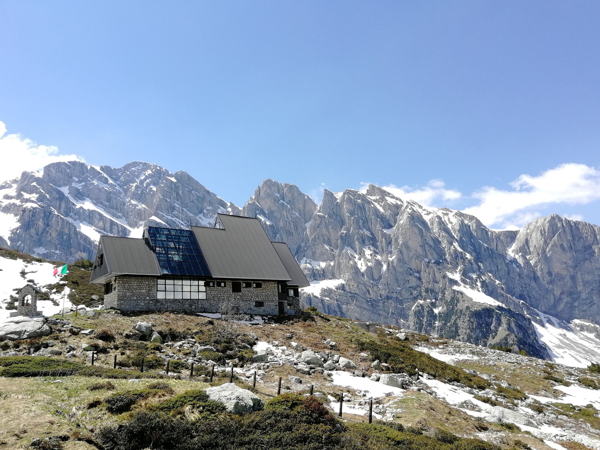
GTA South Piedmont — Hiking in Italy's Occitan valleys
Marguareis Tour – discover caves, ravines and karstic rocks in Italy
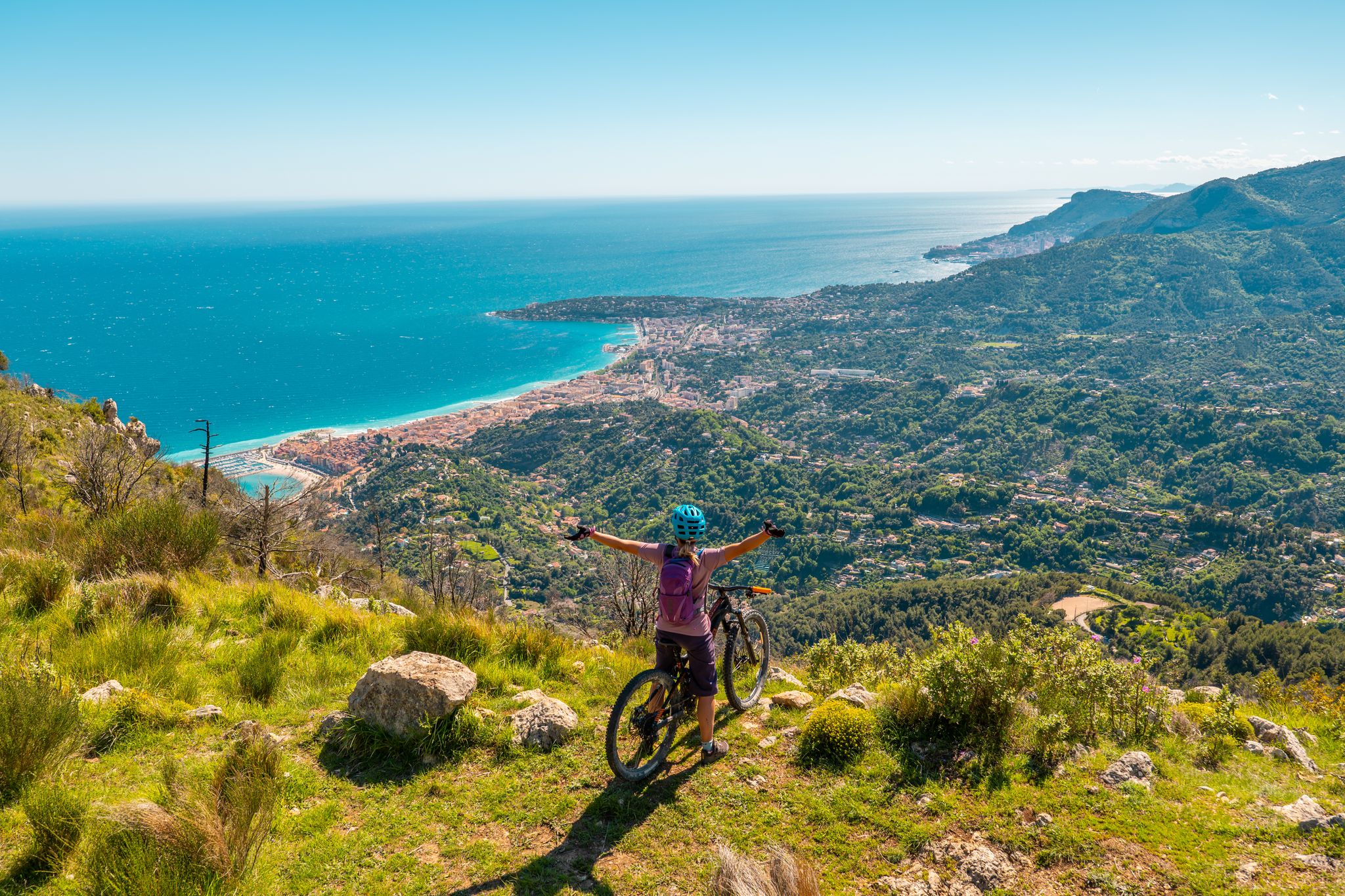
RivierALP – MTB routes from alpine passes to the Riviera
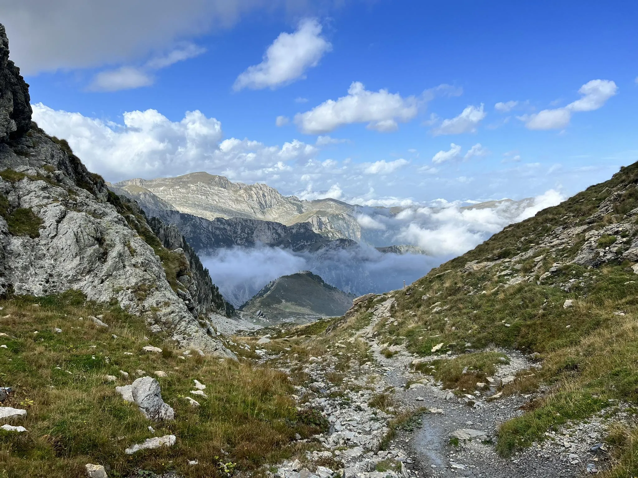
Explore the highest peak in Italy's Ligurian Alps – Giro del Marguareis
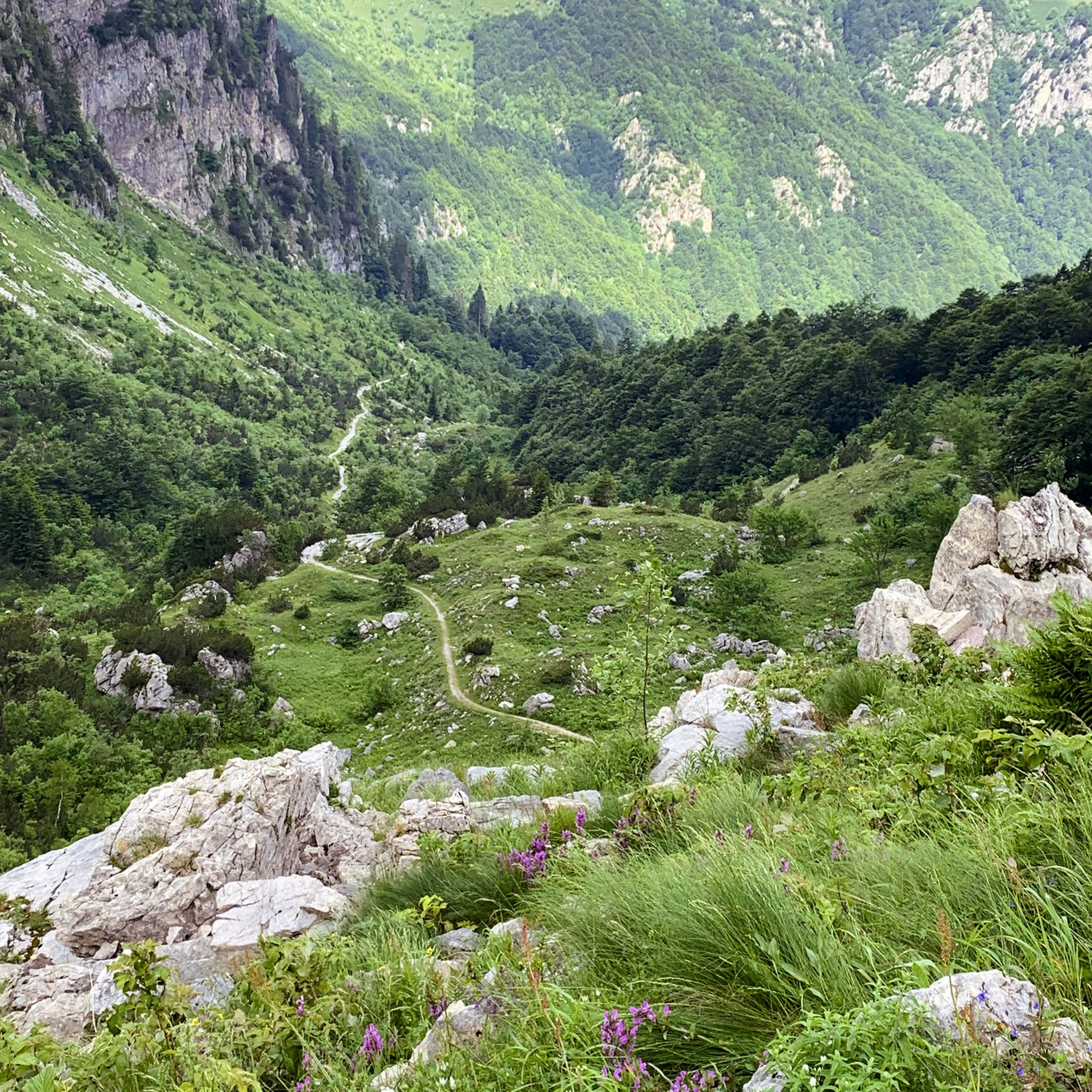
MTB Trails around Parco naturale della Alta Valle Pesio e Tanaro
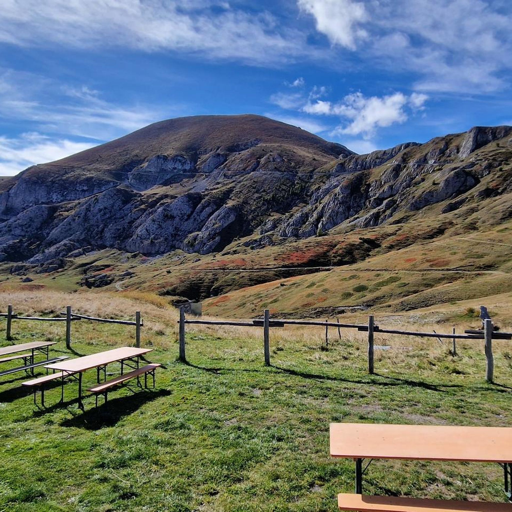
Running Trails around Parco naturale della Alta Valle Pesio e Tanaro
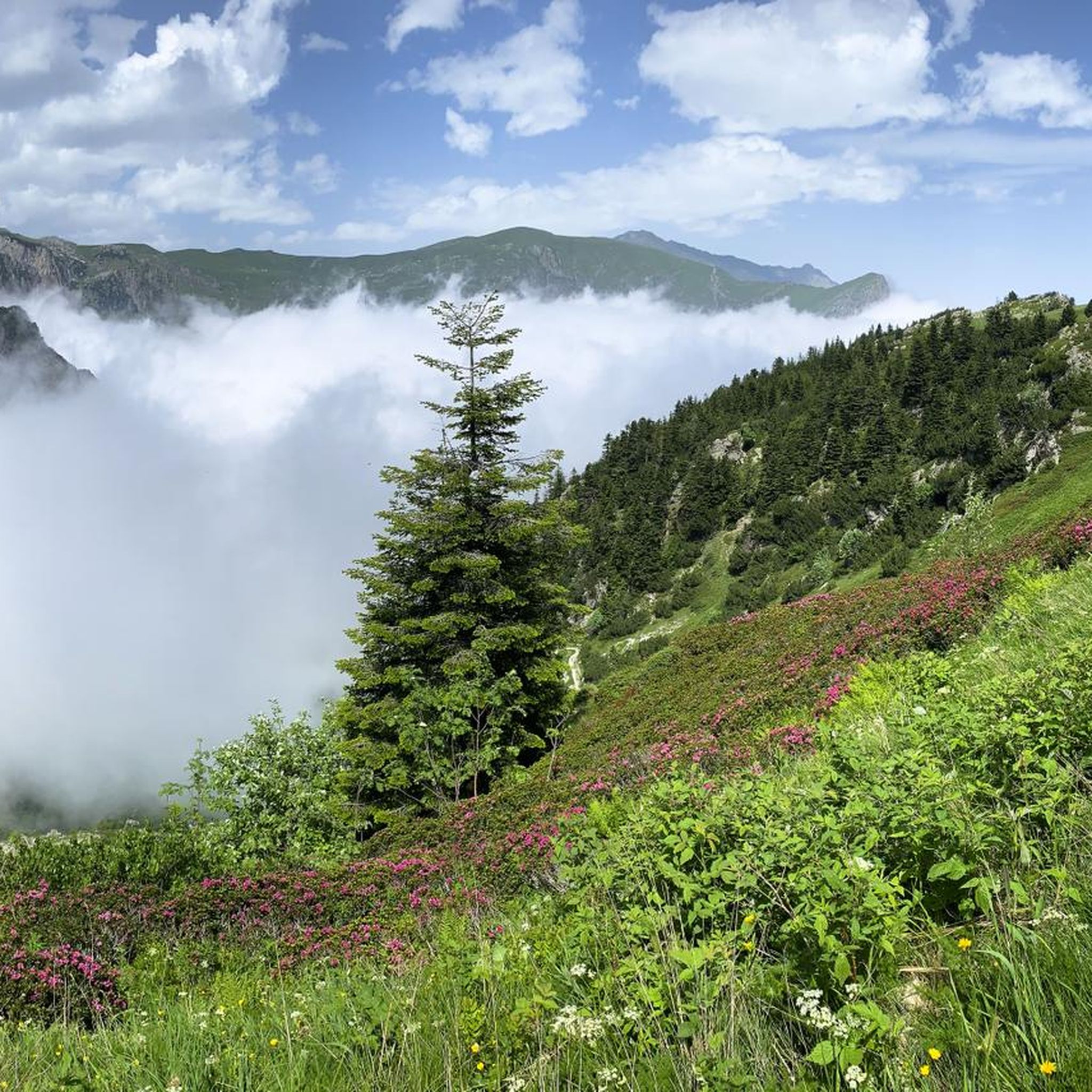
Cycling around Parco naturale della Alta Valle Pesio e Tanaro

Gravel biking around Parco naturale della Alta Valle Pesio e Tanaro
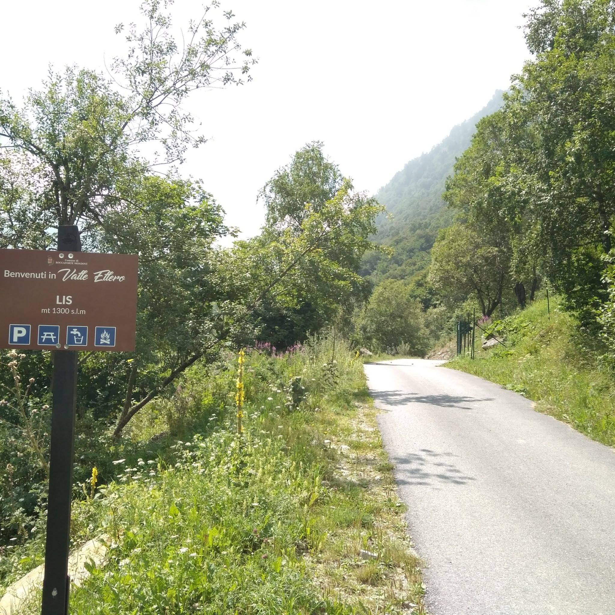
Road Cycling Routes around Parco naturale della Alta Valle Pesio e Tanaro
Mountain Hikes around Parco naturale della Alta Valle Pesio e Tanaro
Other adventures around Parco naturale della Alta Valle Pesio e Tanaro


Tips from the Community

Located at 1,928 meters above sea level in the heart of the homonymous Natural Park, this small alpine body of water lies in a picturesque grassy hollow right at the foot and start of the famous Torinesi and Genovesi canals. Next to the lake is the Rifugio Garelli with the adjacent botanical station "Danilo Re". Being a protected area with a very high biodiversity value, it is the ideal place to stop and observe up close the rich flora typical of the park and, with a bit of attention, spot the chamois and marmots that inhabit the area.
0
0

Beautiful and direct ascent from Don Barbera
0
0

Waterfall easily reachable from the homonymous locality Gias Fontana, which is located three quarters of an hour from Pian delle Gorre
0
0

Beautiful place, especially in winter it takes on an almost magical appearance.
0
0


very busy refuge as you can get there by car (as long as there is space, then they close the road). Also it is the starting point for many hikes.
1
0

Be careful that the surface is always damp and slippery
0
0
Frequently Asked Questions
What kind of terrain can I expect when hiking in Parco naturale della Alta Valle Pesio e Tanaro?
The park offers a diverse range of terrain, from vast forests of silver fir, beech, and Scots pine to high alpine peaks and meadows. You'll encounter dramatic karst formations, often referred to as the “Piccole Dolomiti,” and an extensive network of paths that range from gentle strolls to challenging ascents. Elevations vary significantly, from 750 meters to 2,651 meters.
Are there any easy hiking trails suitable for beginners or families in the park?
Yes, the park has several easy trails. For instance, the area around Pian delle Gorre offers accessible paths. While specific easy routes are not detailed here, komoot lists 13 easy tours in the region, providing options for those seeking less strenuous walks.
Can I bring my dog on the hiking trails in Parco naturale della Alta Valle Pesio e Tanaro?
Generally, dogs are permitted on trails within the Parco Naturale della Alta Valle Pesio e Tanaro, but it's crucial to keep them on a leash to protect the diverse wildlife, especially during nesting seasons or in areas with grazing animals. Always check specific trail regulations before you go, as some protected zones might have restrictions.
What are some notable natural features or landmarks to look out for during a hike?
The park is rich in natural wonders. You can explore the impressive karst system, witness underground rivers emerging as waterfalls like the Pis del Pesio Waterfalls, or visit the Marguareis Lake. The imposing Marguareis Massif, with peaks up to 2,651 meters, offers spectacular views. Don't miss the Saut Waterfalls for another beautiful natural sight.
Are there any circular hiking routes available in the park?
Yes, circular routes are available. A popular option is the From Pian delle Gorre Refuge to the waterfalls — Ring tour, which is a moderate 4.9-mile (7.9 km) trail leading to impressive waterfalls. Another challenging circular option is the Rifugio Garelli Loop Trail, covering 8.1 miles (13 km).
What is the best time of year to go hiking in Parco naturale della Alta Valle Pesio e Tanaro?
The best time for hiking generally spans from late spring to early autumn (May to October). During these months, the weather is typically more stable, and trails are clear of snow at lower to mid-altitudes. Summer offers lush greenery and vibrant wildflowers, while autumn brings stunning fall foliage. Higher elevations may retain snow into early summer.
Are there mountain refuges or accommodations available along the trails for multi-day hikes?
Yes, the park features a well-developed network of mountain refuges that provide essential support for multi-day treks. Notable refuges include Rifugio Garelli, Rifugio Mondovì, Rifugio Pian Rosso, and Rifugio Pian delle Gorre. These offer places to rest, eat, and stay overnight, allowing for comprehensive exploration of the massif.
How many hiking trails are there in Parco naturale della Alta Valle Pesio e Tanaro?
There are over 80 hiking routes available in Parco naturale della Alta Valle Pesio e Tanaro, catering to various skill levels. This includes 13 easy, 28 moderate, and 43 difficult trails, ensuring options for every type of hiker.
What historical sites or points of interest can I explore in the area?
The region is rich in history. You can visit the historic Certosa di Pesio, a Carthusian monastery founded in 1173, which has significantly shaped the local landscape. Many hiking routes also follow ancient 'salt roads' (vie del sale), offering a glimpse into historical trade routes. The area also has archaeological interest, with findings from the Late Bronze and Iron Ages on Monte Cavanero.
What do other hikers enjoy most about the trails in Parco naturale della Alta Valle Pesio e Tanaro?
The trails in Parco naturale della Alta Valle Pesio e Tanaro are highly rated by the komoot community, with an average score of 4.6 stars from over 800 reviews. Hikers frequently praise the dramatic karst formations, dense forests, and the challenge of high alpine peaks. The variety of terrain and the stunning natural beauty are often highlighted as key attractions.
Is public transport available to reach the trailheads in Parco naturale della Alta Valle Pesio e Tanaro?
While specific public transport details vary, access to the park's trailheads, particularly in more remote areas, can be limited. It's advisable to research local bus services or consider driving to key access points like Pian delle Gorre, where parking is typically available, especially for popular routes.
Most popular routes around Parco naturale della Alta Valle Pesio e Tanaro
Most popular attractions around Parco naturale della Alta Valle Pesio e Tanaro

Get inspired with the komoot mobile app


Explore more
Browse the best Hikes in other regions.
