The best walks and hikes around Parco naturale regionale dell'Aveto
4.5
(2129)
8,747
hikers
64
hikes
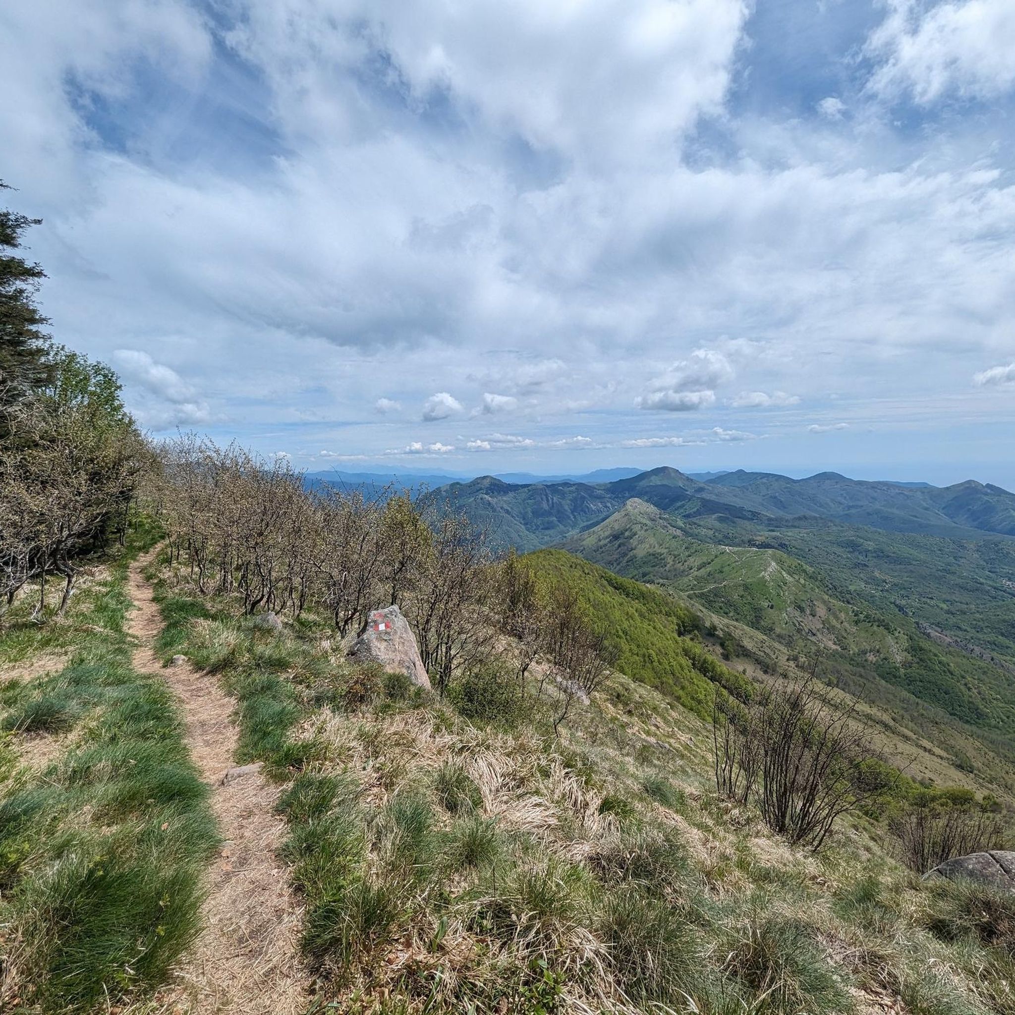
Hiking around Parco naturale regionale dell'Aveto offers a diverse range of landscapes within the Ligurian Apennines. The park features significant mountain peaks like Monte Penna and Monte Aiona, alongside glacial lakes and wetlands such as Lago di Giacopiane. Its terrain includes extensive beech woodlands, grazing lands, and varied valleys, providing a rich backdrop for outdoor activities.
Best hiking trails around Parco naturale regionale dell'Aveto
- The most popular hiking route is Passo del Bocco and Monte Zatta – loop tour,…
Last updated: July 7, 2026
4.9
(78)
224
hikers
8.94km
03:22
450m
450m
Embark on a moderate hike through the Aveto Natural Regional Park with the Passo del Bocco and Monte Zatta loop tour. This 5.6 miles (8.9 km) route features a significant…
4.9
(53)
147
hikers
7.00km
02:47
380m
370m
The A10 - Monte Zatta Loop offers a moderate hiking experience through the Ligurian Apennines. You will traverse cool beech woods, providing welcome shade as you ascend towards the Panoramic…

Sign up for free
5.0
(11)
39
hikers
8.40km
02:56
330m
330m
Embark on the Monte Penna Cycle Trail, a moderate hiking route that guides you through the varied landscapes of Parco Naturale Regionale dell'Aveto. You will traverse 5.2 miles (8.4 km)…
4.8
(12)
47
hikers
8.34km
03:23
410m
410m
Embark on a moderate hike through the Ligurian Apennines on the Monte Aiona, Passo dell'Incisa e Rifugio Prato Mollo trail. This route covers 5.2 miles (8.3 km) with an elevation…
4.6
(19)
44
hikers
12.2km
04:37
490m
480m
Embark on the Liciorno/Ramaceto Loop Trail for a moderate hike through the Ligurian Apennines, offering consistent views of the Ligurian Sea and the Gulf of Tigullio. This route covers 7.6…
Get access to more routes and recommendations from other explorers.
Sign up for free
Already have an account?
Our route recommendations are based on thousands of hikes, rides, and runs completed by other people on komoot.
Start today with a free account
Your next adventure awaits.
Login or Signup
Popular around Parco naturale regionale dell'Aveto
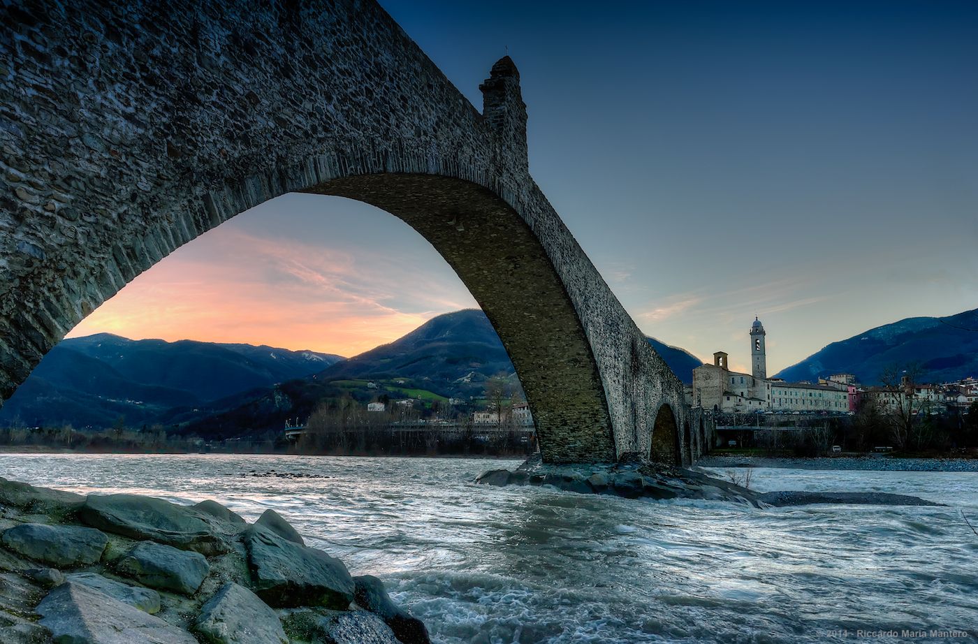
Hike from Milan to the sea – Path of the Celts and Ligurians

Alta Via Stage Race – Only the brave
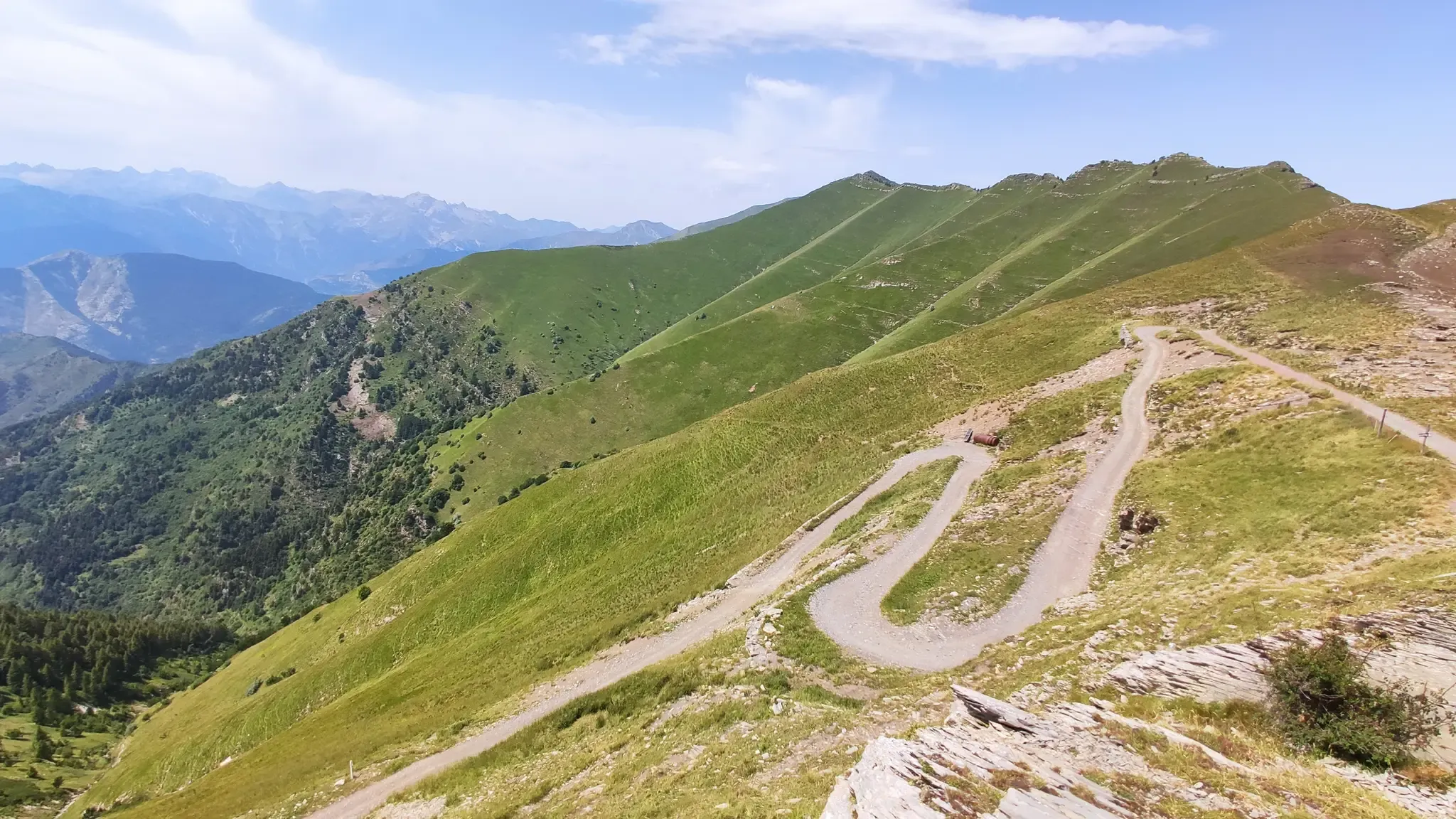
MTB between sky, land and sea – Italy’s Alta Via dei Monti Liguri
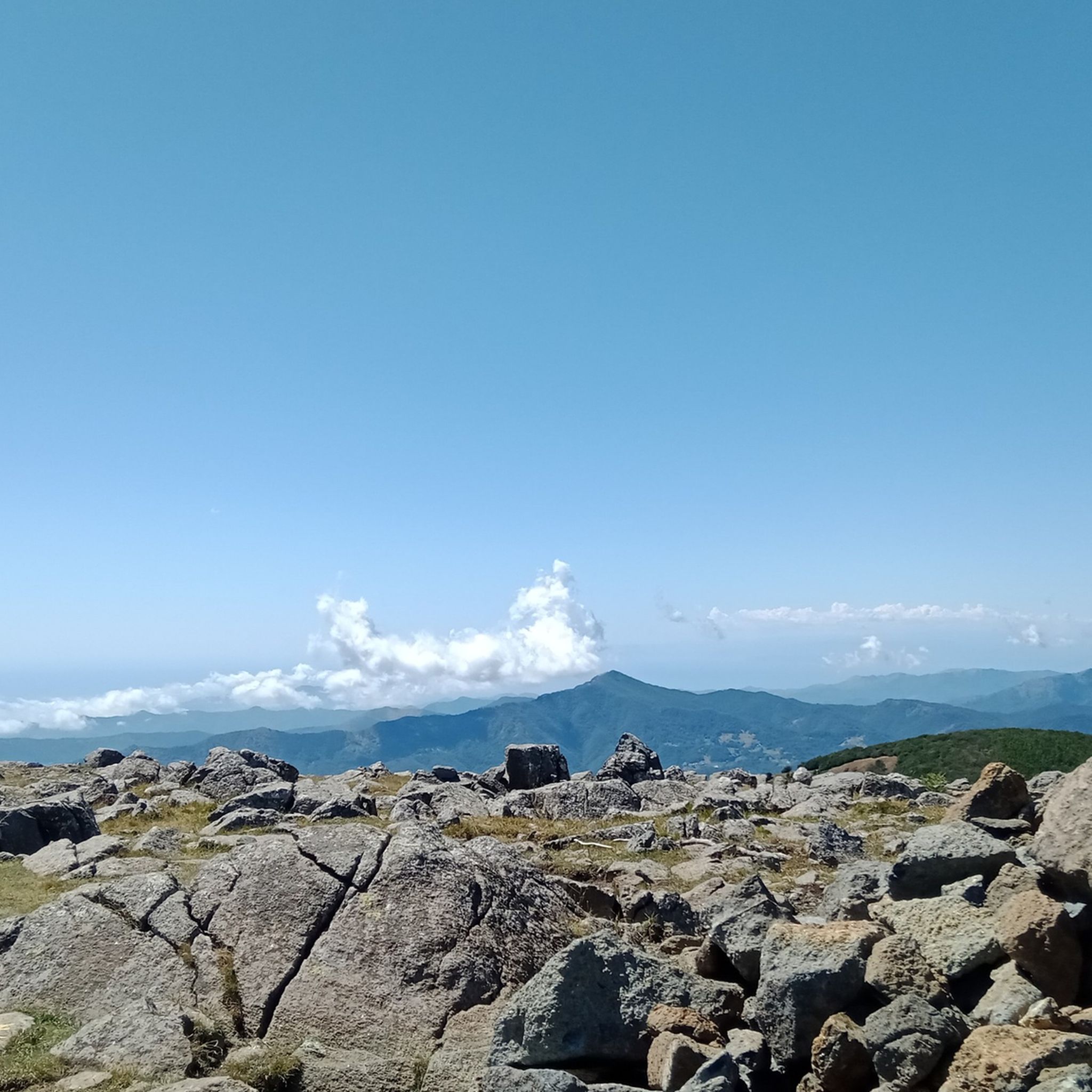
MTB Trails around Parco naturale regionale dell'Aveto
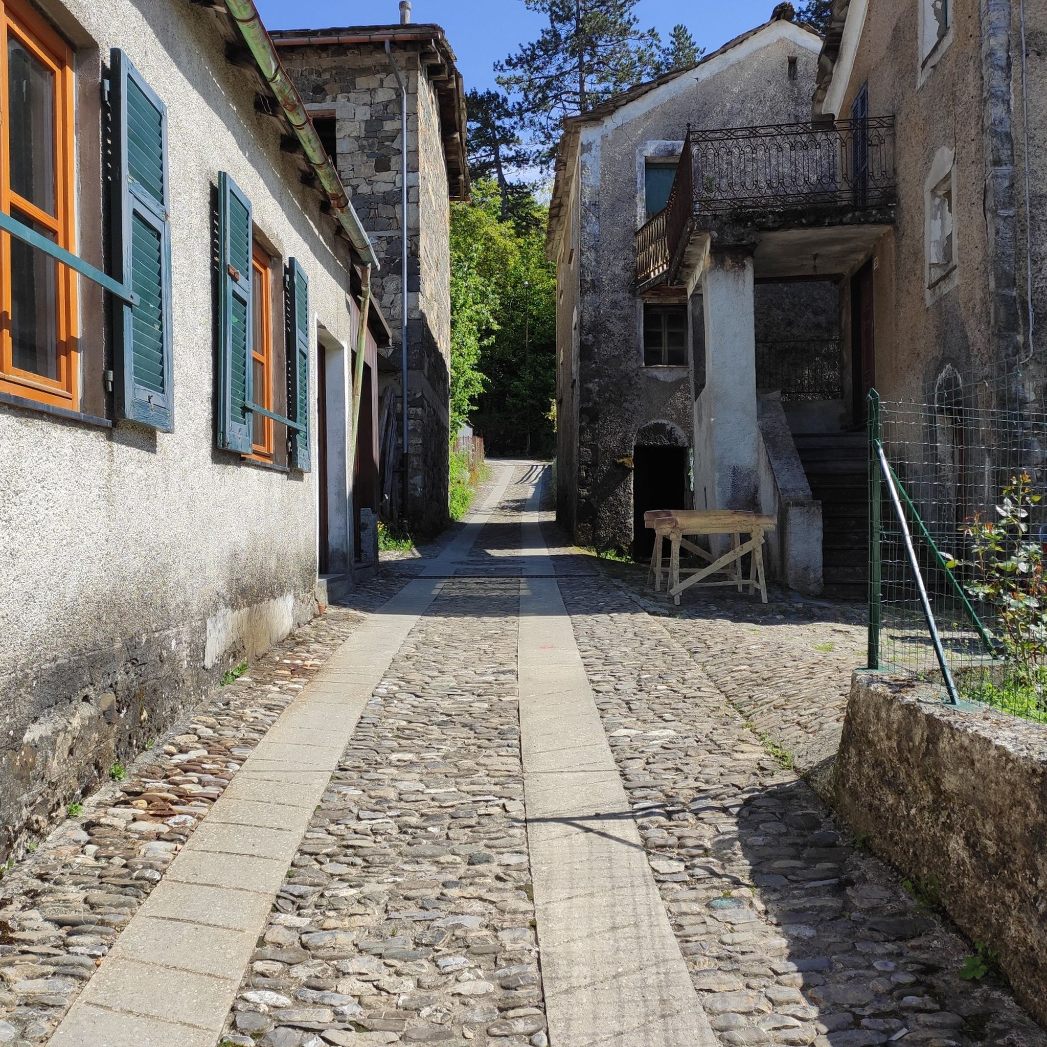
Road Cycling Routes around Parco naturale regionale dell'Aveto
Cycling around Parco naturale regionale dell'Aveto
Running Trails around Parco naturale regionale dell'Aveto

Gravel biking around Parco naturale regionale dell'Aveto
Other adventures around Parco naturale regionale dell'Aveto


Tips from the Community

It is easily well marked along the forest road.
0
0
Beautiful hiking structure located at 1,400 meters, surrounded by beech trees and positioned on the border with the municipalities of Bedonia and Tornolo for the province of Parma, and Santo Stefano d'Aveto for the metropolitan city of Genoa. Too bad it is never open despite the structure being recent and in good condition.
0
0
Beautiful pass of the Ligurian Apennines located at 1,468 meters. Strategic point that offers various alternatives to start a walk or a long hike.
0
0


The Rifugio Faggio dei Tre Comuni (1,400 m), opened in 2011, is located in a beautiful clearing among the beech forests of the Ligurian-Emilian Apennines, at the symbolic meeting point of the municipalities of Bedonia, Tornolo, and Santo Stefano d'Aveto. Built of wood and concrete, it offered approximately 20 beds and was managed by the Parma branch of the Italian Alpine Club (CAI). Unfortunately, with the agreement between the CAI and the Unione Montana (Mountain Union) having expired, the refuge is now closed and abandoned. A real shame: if the facility were reopened at least during the summer months, it could once again become an ideal base for hiking and biking excursions to Monte Trevine, Monte Penna, and the source of the Taro River. The beauty of the site remains intact, and the refuge's clearing is a perfect stop for a break in the silence of the forest.
0
0
The Taro River's sources are located on the slopes of Mount Penna, at approximately 1,500 meters above sea level, in the heart of the Ligurian Apennines, within the Taro and Ceno Valleys Park. Here, in a cool beech forest, several springs merge to form the river's first rivulets. The Taro River originates as an Apennine torrent and flows for over 120 km toward the Po River, crossing valleys, plains, and areas of great natural beauty. Its course is known for its high biodiversity and the presence of well-preserved river environments, protected by protected areas and nature reserves.
0
0

excursion done in winter, very beautiful and panoramic, with a lot of snow, good equipment is needed, gaiters and crampons, and a good shell for the strong winds on the ridge.
0
0

Last part on asphalt but very beautiful
0
0
Frequently Asked Questions
What types of landscapes can I expect to see while hiking in Parco naturale regionale dell'Aveto?
Parco naturale regionale dell'Aveto offers a remarkably diverse landscape. You'll encounter towering mountain peaks like Monte Penna and Monte Aiona, serene glacial lakes such as Lago di Giacopiane and Lame Lake, and extensive woodlands, particularly beech forests. The park also features varied valleys, from high-mountain grazing lands to areas with chestnut, hazelnut, and even olive groves.
Are there many hiking trails available in Parco naturale regionale dell'Aveto?
Yes, Parco naturale regionale dell'Aveto boasts an extensive network of trails. There are over 60 hiking routes available, catering to various experience levels. The komoot community has explored these trails over 2000 times, highlighting the park's popularity among hikers.
What is the best time of year to go hiking in Parco naturale regionale dell'Aveto?
The park is appealing in every season. Autumn is particularly recommended for its breathtaking foliage, transforming the forests into vibrant colors. Summer offers an ideal escape from the heat, while spring brings blooming wildflowers. Even in winter, snowshoeing can be an option in higher elevations.
What are the difficulty levels of the hiking trails in Parco naturale regionale dell'Aveto?
The trails in Parco naturale regionale dell'Aveto range from easy to difficult. You'll find 5 easy routes perfect for a relaxed stroll, 40 moderate trails offering a good balance of challenge and enjoyment, and 20 difficult routes for experienced hikers seeking more demanding ascents and longer distances.
Are there any family-friendly hiking options in Parco naturale regionale dell'Aveto?
Yes, the park offers several easy routes suitable for families. These trails often feature gentle terrain and shorter distances, allowing for an enjoyable outdoor experience with children. Look for routes around the glacial lakes or through the lower valleys for less strenuous options.
Can I bring my dog on the hiking trails in Parco naturale regionale dell'Aveto?
Generally, dogs are welcome on trails in Parco naturale regionale dell'Aveto, but it's always best to keep them on a leash to protect wildlife and ensure the safety of other hikers. Be mindful of any specific park regulations or protected areas where dogs might be restricted.
What kind of natural features or landmarks can I see along the trails?
Hikers can discover a variety of natural features and landmarks. You might encounter significant peaks like Monte Aiona, picturesque glacial lakes such as Lame Lake, and unique geological formations, especially ophiolite rocks on mountains like Monte Penna. The park also features mountain passes like Incisa Pass and Bocco Pass.
Are there any circular hiking routes in Parco naturale regionale dell'Aveto?
Yes, the park is well-known for its circular routes. For example, you can explore the Monte Zatta area with the A10 - Monte Zatta Loop, a moderate 4.4-mile path. Another option is the Liciorno/Ramaceto Loop Trail, which is a longer 7.6-mile moderate hike.
What do other hikers enjoy most about Parco naturale regionale dell'Aveto?
The area is highly rated by the komoot community, with an average score of 4.6 stars from over 470 reviews. Hikers often praise the diverse terrain, from challenging mountain ascents to tranquil lake loops, and the stunning panoramic views from the peaks.
Are there any specific trails that offer views of Monte Penna?
Yes, the Monte Penna Cycle Trail is a 5.2-mile moderate route that leads through the high-mountain landscapes around Monte Penna, offering excellent views of the peak and its surroundings. You can also find the Statue of the Madonna on Monte Penna, a notable landmark.
Is public transport available to access hiking trails in Parco naturale regionale dell'Aveto?
While some villages within or near the park might have limited bus services, direct public transport access to many trailheads can be challenging. It's often recommended to use a car for greater flexibility in reaching various starting points for hikes within the expansive park.
Are there opportunities for wildlife spotting in Parco naturale regionale dell'Aveto?
Yes, the park is known for its diverse wildlife. A unique attraction is the presence of wild horses, offering visitors a chance for 'horsewatching' amidst unspoiled nature. You may also spot various bird species and other local fauna in the diverse habitats of the park.
Most popular routes around Parco naturale regionale dell'Aveto
Most popular attractions around Parco naturale regionale dell'Aveto

Get inspired with the komoot mobile app


Explore more
Browse the best Hikes in other regions.
