The best traffic-free bike rides around Parco naturale regionale dell'Aveto
4.3
(4)
23
riders
3
rides
No traffic gravel bike trails around Parco naturale regionale dell'Aveto traverse the Ligurian Apennines, offering diverse landscapes across three valleys: Val d'Aveto, Valle Sturla, and Val Graveglia. The terrain includes high-mountain areas with extensive pastures and beech forests, featuring peaks like Monte Penna (1,735 m) and Monte Aiona (1,701 m). Lower valleys present open meadows, chestnut and hazelnut woodlands, and fruit and olive orchards. Glacial lakes, such as the Lame lakes and Lago di Giacopiane, are also prominent features within…
Last updated: November 7, 2026
4.0
(1)
1
riders
13.5km
01:02
350m
350m
Moderate gravel ride. Good fitness required. Mostly paved surfaces.
2
riders
71.4km
06:01
2,040m
2,040m
Hard gravel ride. Very good fitness required. Mostly paved surfaces.

6
riders
76.2km
06:59
2,470m
2,470m
Hard gravel ride. Very good fitness required. Mostly paved surfaces.
Our route recommendations are based on thousands of hikes, rides, and runs completed by other people on komoot.
Start today with a free account
Your next adventure awaits.
Popular around Parco naturale regionale dell'Aveto
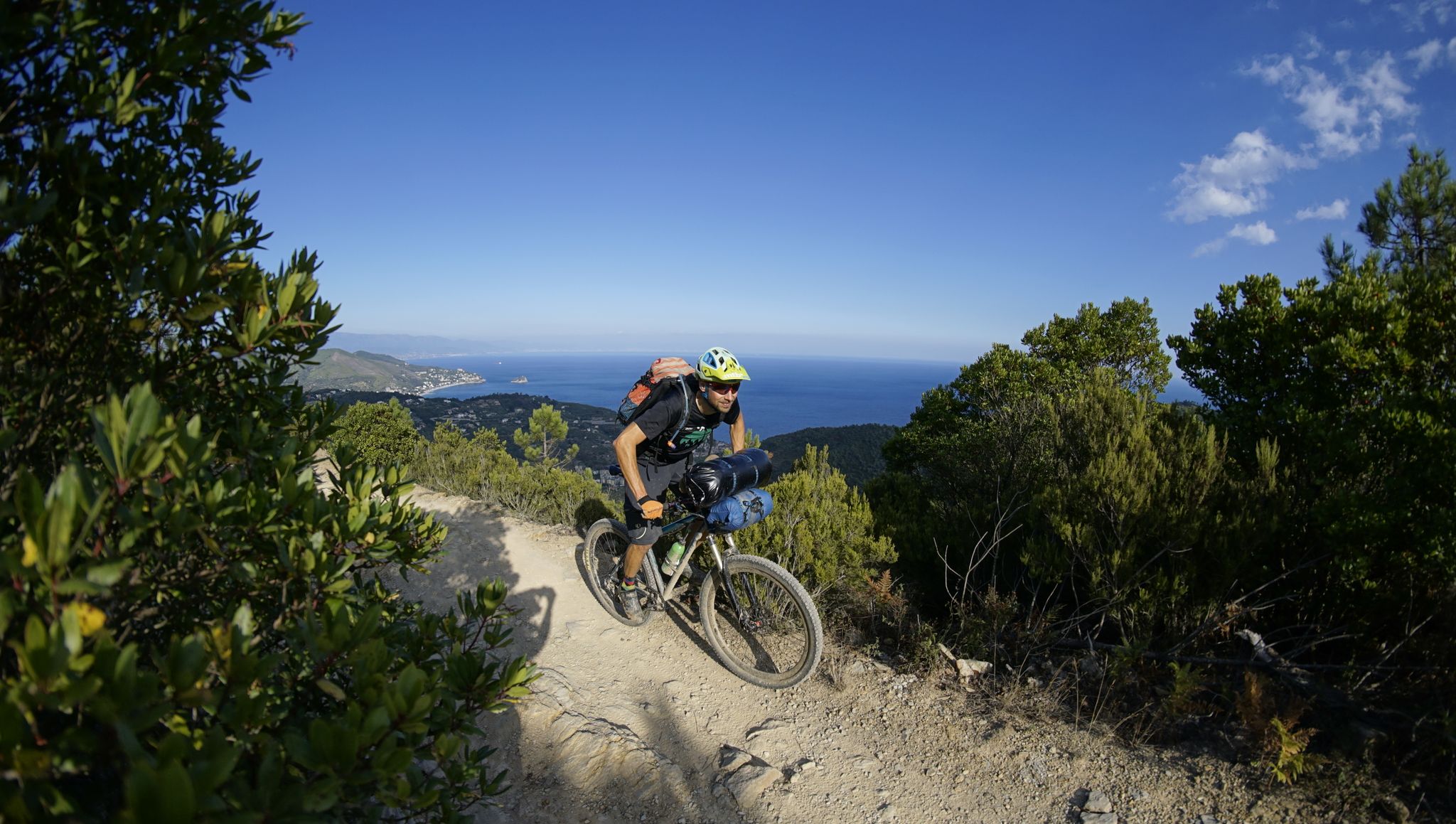
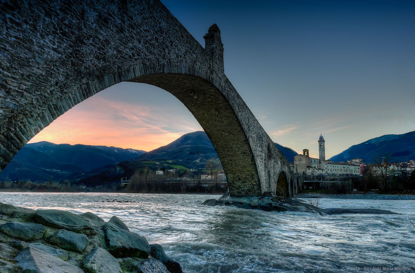
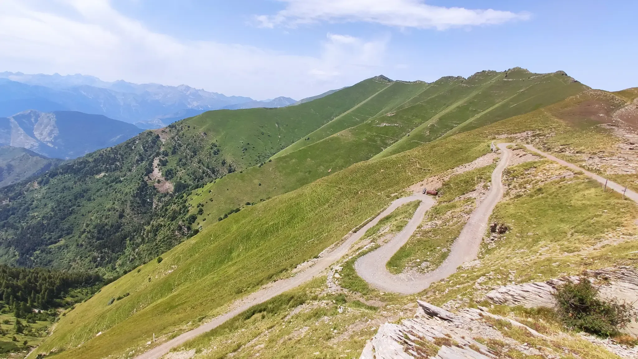


Other adventures around Parco naturale regionale dell'Aveto


Tips from the Community

Between the Passo and Varese Ligure, on the stretch under the jurisdiction of the Province of La Spezia, the road surface is a crime against... cyclists. When descending, you need to be very careful and ride at a very low speed so as not to risk your bike, your "rear end", and your teeth. But it's not easy at all on the climb either.
0
0

It is easily well marked along the forest road.
1
0
Beautiful hiking structure located at 1,400 meters, surrounded by beech trees and positioned on the border with the municipalities of Bedonia and Tornolo for the province of Parma, and Santo Stefano d'Aveto for the metropolitan city of Genoa. Too bad it is never open despite the structure being recent and in good condition.
0
0
Beautiful pass of the Ligurian Apennines located at 1,468 meters. Strategic point that offers various alternatives to start a walk or a long hike.
0
0
Pass of the Ligurian Apennines located at an altitude of 1,452 m, it is reachable by car and is a crossroads where various hiking trails branch off.
0
0
Born from the recovery of old barracks, it is a beautiful refuge where you can both eat and stay overnight. The location is stunning and makes it a must-stop when visiting these areas.
1
0

beautiful, quiet pass with picnic area
0
0

Done in the last few days... no problem with the mountain bike, no serious problems... the road has worsened since last year... nice anyway... other routes from the pass on the left towards the Val del Gromolo... hills on the right... another in Maissana and in the center continuing spectacularly towards Monte Porcile and then descending towards the Passo del Biscia... all beautiful with good preparation... bye
0
0
Frequently Asked Questions
How many traffic-free gravel bike trails are available in Parco Naturale Regionale dell'Aveto?
Our guide features 3 dedicated traffic-free gravel bike routes within Parco Naturale Regionale dell'Aveto. These routes offer a unique opportunity to explore the park's diverse landscapes away from vehicle traffic.
What are the typical difficulty levels for these traffic-free gravel trails?
The traffic-free gravel trails in Parco Naturale Regionale dell'Aveto range from moderate to difficult. You'll find 1 moderate route and 2 difficult routes, offering challenges for experienced riders while still providing accessible options for those looking for a good workout. For example, the Incisa Pass – Faggio Tre Comuni Hut loop from Monte Penna is a moderate option.
What kind of landscapes can I expect on these traffic-free gravel bike routes?
You can expect a rich variety of landscapes. The routes traverse areas characterized by high-mountain scenery, extensive pastures, and vast beech forests, especially in Val d'Aveto. Lower down, you'll encounter open meadows, chestnut and hazelnut woodlands, and even fruit and olive orchards. The park's unique geological features, including ophiolite rocks and glacial lakes like the Lame lakes (Lame Lake), also add to the scenic beauty.
Are there any specific attractions or viewpoints along these traffic-free routes?
Yes, several routes offer access to notable attractions and viewpoints. You might pass by significant peaks like Monte Aiona or the Statue of the Madonna on Monte Penna. The park is also home to unique natural monuments such as Nave del Penna and the glacial Lame Lake, which are often accessible from the trail network.
When is the best time of year to ride these no-traffic gravel trails?
The Parco Naturale Regionale dell'Aveto offers opportunities year-round. However, for gravel biking, the best seasons are typically spring, summer, and early autumn. During these months, the weather is generally more stable, and the higher mountain passes are free of snow, allowing full access to the diverse terrain. Winter can be challenging due to snow on higher peaks.
What are the typical lengths and durations of the traffic-free gravel bike routes?
The routes vary significantly in length and duration. For instance, the Incisa Pass – Faggio Tre Comuni Hut loop from Monte Penna is about 13.5 km and takes around 1 hour 8 minutes. Longer, more challenging routes like the Passo del Biscia – Monte Porcile Mule Track loop from Conscenti extend to over 71 km, requiring more than 6 hours of riding.
Are there any circular traffic-free gravel bike routes available?
Yes, all the traffic-free gravel bike routes featured in this guide are circular loops. This means you'll start and finish at the same point, making logistics like parking much simpler. Examples include the Incisa Pass – Faggio Tre Comuni Hut loop from Monte Penna and the Penna Barracks Refuge – Passo della Spingarda loop from Case Fazzi.
What do other gravel bikers enjoy most about these routes in Parco Naturale Regionale dell'Aveto?
The komoot community highly rates the gravel biking experience in Parco Naturale Regionale dell'Aveto, with an average score of 4.33 out of 5 stars. Riders often praise the stunning natural beauty, the challenging yet rewarding terrain, and the true sense of escape offered by the traffic-free environment. The diverse landscapes, from high peaks to lush valleys, are frequently highlighted as a major draw.
Can I expect to see any wildlife while riding these trails?
Parco Naturale Regionale dell'Aveto is known for its rich biodiversity. While riding, you have a good chance of spotting various wildlife, including the park's famous wild horses. The extensive forests and open pastures provide habitats for many species, making wildlife spotting a common and exciting part of the experience.
Are there any refuges or places to stop for refreshments along the routes?
Yes, the park has several refuges that can serve as excellent stopping points. For example, the Ventarola Refuge, located in an ancient village, offers a historical link and a place to rest. Another option is the Rifugio Malga Zanoni, situated at 1,100 meters amidst pastures and ancient beech woods, providing paths leading to the peaks of Aiona and Penna. These can be great places to refuel and enjoy the local atmosphere.
What kind of terrain should I be prepared for on these gravel trails?
Be prepared for varied terrain. The routes often feature a mix of gravel roads, mule tracks, and sometimes more technical sections. In higher mountain areas, you might encounter demanding ascents and descents, with some sections potentially requiring you to push your bike. Lower valleys offer a mix of technical and more gentle riding conditions, often through woodlands and meadows.
Most popular routes around Parco naturale regionale dell'Aveto
Most popular attractions around Parco naturale regionale dell'Aveto

Get inspired with the komoot mobile app


Explore more
Browse the best Gravel rides in other regions.
