The best cycling routes in the Medicine Bow Mountains
5.0
(1)
68
riders
8
rides
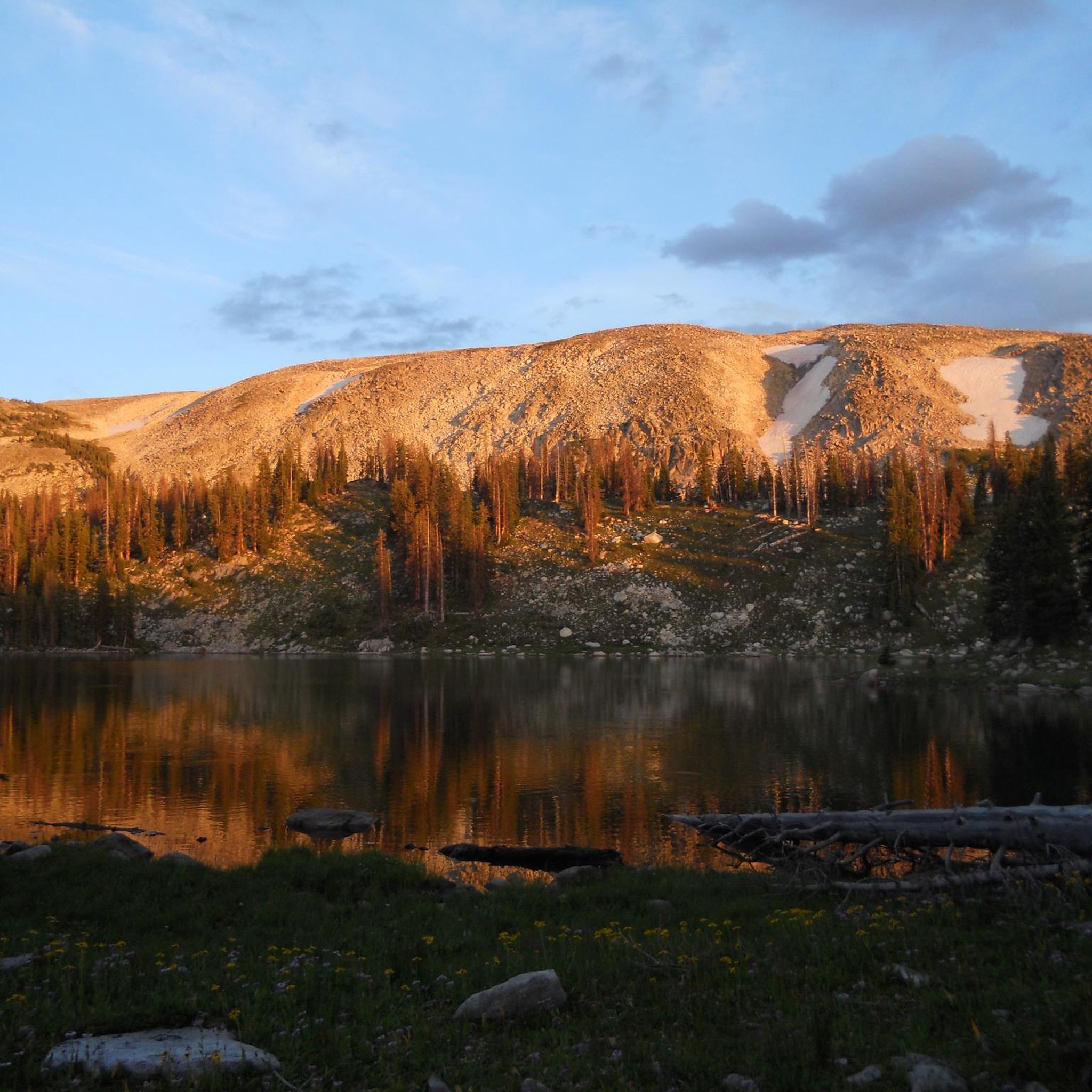
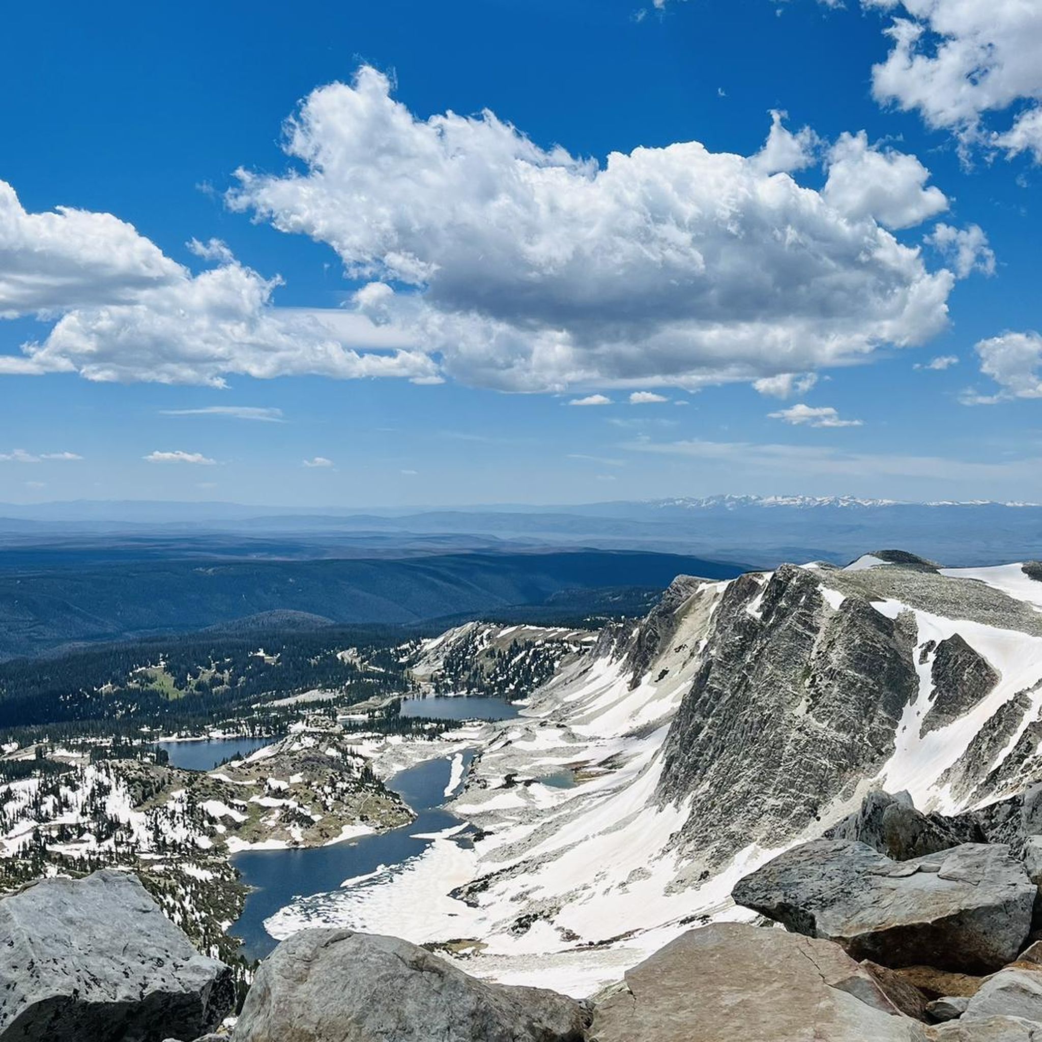
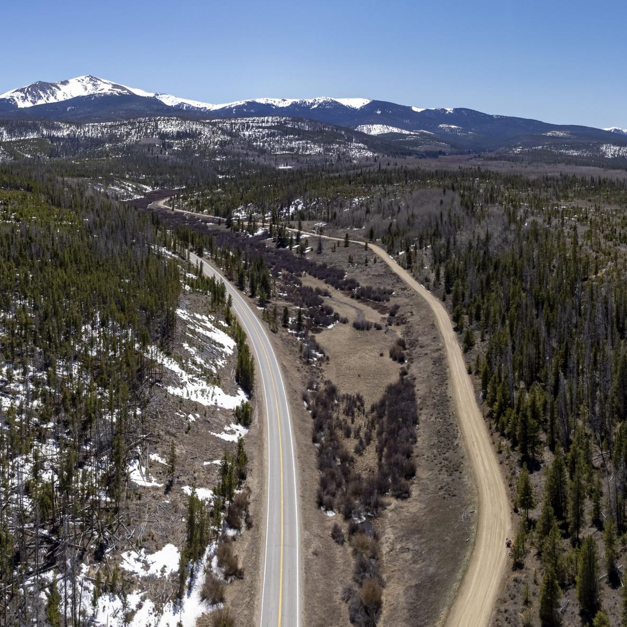
Touring cycling in the Medicine Bow Mountains offers diverse terrain within the Medicine Bow-Routt National Forest, extending into northern Colorado. The region features scenic byways, dedicated rail trails, and varying topography with elevations ranging from 5,500 to over 12,000 feet. Cyclists can navigate paved mountain roads, gravel paths, and forest service routes, encountering alpine lakes, dense spruce-fir forests, and rugged peaks. This landscape provides a range of experiences from gentle grades to challenging climbs.
Best touring cycling routes in the…
Last updated: July 7, 2026
2
riders
34.6km
03:03
200m
200m
Cycle the Medicine Bow Rail-Trail Loop, a moderate 21.5-mile touring cycling route through Medicine Bow National Forest with varied gravel.
7.23km
00:30
120m
120m
Embark on an easy touring bicycle ride along the Snowy Range Road, stretching 4.5 miles (7.2 km) from Lake Marie to Snowy Range Pass. This route offers a gradual ascent,…

Sign up for free
16.6km
01:13
380m
380m
Cycle the moderate Barber Lake Road in Medicine Bow National Forest, a 10.3-mile route with scenic views and consistent elevation changes.
28.0km
02:03
660m
660m
Prepare for a demanding touring bicycle journey on the Snowy Range Road, a difficult 17.4-mile (28.0 km) route that climbs 2153 feet (656 metres) from Ryan Park Campground to Silver…
12
riders
53.9km
03:31
710m
710m
Hard bike ride. Very good fitness required. Mostly paved surfaces. Suitable for all skill levels.
3
riders
17.8km
01:28
200m
200m
The Shadow Mountain Lake – East Shore Trailhead loop offers a captivating touring cycling experience, guiding you past the shimmering waters of Shadow Mountain Lake and Grand Lake, with the…
2
riders
15.5km
01:08
130m
130m
The East Shore Trailhead – Shadow Mountain Lake loop cycling route offers a delightful ride through an alpine environment, showcasing the stunning beauty of Shadow Mountain Lake and the surrounding…
Our route recommendations are based on thousands of hikes, rides, and runs completed by other people on komoot.
Start today with a free account
Your next adventure awaits.
Login or Signup
Tips from the Community

Amazing pass! But be cautious about elevation sickness. The pass is at 3306 meters, and symptoms of elevation sickness usually become noticeable at around 2800 meters.
0
0

The Coyote Valley Trail is a pleasant, paved path with beautiful views of the Colorado River and mountains. With a little luck, you might spot elk or moose in the early morning and evening hours, as they often frequent this area.
0
0
The Colorado River, with a length of approximately 2,333 km, is the most important river in southwestern North America. It originates in the Rocky Mountains in Rocky Mountain National Park in the state of Colorado. The trail is wide, wheelchair- and stroller-accessible, and runs along the young Colorado River in the Kawuneeche Valley. Here, it still flows as a relatively small river, where elk and moose are also frequented. Many informational panels provide insight into earlier life and the settlers.
0
0

This overlook is one of the official overlooks along Trail Ridge Road and offers an amazing panorama of the Never Summer Range and Kawnueeche Valley.
0
0

The entire Snowy Range Road is gorgeous, but this pass has to be its crowning glory. There is a parking area, so you can start a run here if you like; but if you start somewhere else and use this as the endpoint, you can have a relaxed, downhill run on the way back.
1
0
The entire Snowy Range Road is gorgeous, but this pass has to be its crowning glory. There is a parking area, so you can start a ride here if you like; but if you start somewhere else and use this as the endpoint of your ride, you can turn around and enjoy a long, relaxed coast on the way back down.
1
0
This campground is a good spot for staging a touring ride along scenic Snowy Range Road — or just parking your bike to explore the nearby hiking trails.
1
0
Campgrounds like this make a good staging point if you want to combine a nice bike ride with roughing it in the midst of the stunning scenery all around you.
1
0
Frequently Asked Questions
How many touring cycling routes are available in the Medicine Bow Mountains?
The Medicine Bow Mountains offer a selection of 8 touring cycling routes. These routes cater to various skill levels, including 2 easy, 4 moderate, and 2 difficult options, ensuring a suitable ride for most cyclists.
What kind of terrain can I expect on touring cycling routes in the Medicine Bow Mountains?
You'll encounter diverse terrain, from paved mountain roads like the Snowy Range Scenic Byway to gravel paths such as the Medicine Bow Rail-Trail Loop. The region features varying topography with elevations ranging from 5,500 to over 12,000 feet, offering everything from gentle grades to challenging climbs through alpine lakes and dense spruce-fir forests.
Are there any easy touring cycling routes suitable for beginners or families?
Yes, there are easy routes perfect for beginners or families. The Snowy Range Road (Lake Marie to Snowy Range Pass) is an easy 4.5-mile paved path offering stunning views. Another accessible option is the East Shore Trailhead – Shadow Mountain Lake loop from Grand Lake, which is 9.6 miles long and also rated easy.
What are some notable natural features or landmarks I can see while cycling?
While cycling, you can experience breathtaking natural beauty. The Snowy Range Scenic Byway offers views of rugged peaks and alpine lakes. You might also pass by features like Medicine Bow Peak, Lookout Lake, or Twin Crater Lakes. The Medicine Bow Rail-Trail Loop follows a historic railroad grade through pristine wilderness.
When is the best time of year to go touring cycling in the Medicine Bow Mountains?
The best time for touring cycling is typically from late May to early October. During this period, higher elevation roads like the Snowy Range Scenic Byway are usually open, and the weather is most favorable for enjoying the vibrant wildflowers and clear alpine conditions.
Are there any circular touring cycling routes in the Medicine Bow Mountains?
Yes, several routes offer a loop experience. A popular option is the Medicine Bow Rail-Trail Loop, a 21.5-mile gravel path. Other circular routes include the Colorado River – Coyote Valley Trailhead loop from Grand Lake and the Shadow Mountain Lake – East Shore Trailhead loop from Shadow Mountain Dam.
Where can I find parking or access points for the touring cycling routes?
Access points with parking are available for many routes. For instance, the Medicine Bow Rail Trail has designated access points with parking and restrooms. The Snowy Range Scenic Byway also offers various pull-offs and parking areas near trailheads and scenic overlooks.
What do other cyclists say about their experience touring cycling in the Medicine Bow Mountains?
The touring cycling routes in the Medicine Bow Mountains are highly rated by the komoot community, with an average score of 5.0 stars from over 1 review. Cyclists often praise the stunning alpine scenery, diverse terrain, and the opportunity to explore historic routes like the Medicine Bow Rail Trail.
How challenging are the touring cycling routes in terms of elevation gain?
The routes vary significantly in elevation gain. Easy routes like Snowy Range Road (Lake Marie to Snowy Range Pass) have around 125 meters of ascent. More challenging routes, such as Snowy Range Road (Ryan Park Campground to Silver Lake Campground), can involve over 650 meters of climbing, offering a significant workout.
Are there any specific permits required for touring cycling in the Medicine Bow Mountains?
Generally, no specific permits are required for touring cycling on established roads and trails within the Medicine Bow-Routt National Forest. However, it's always advisable to check with the local Forest Service office or visitor centers for any current regulations or area-specific requirements, especially if planning to venture off marked routes.
What amenities, like food or accommodation, are available near the cycling routes?
While the routes themselves are often in pristine wilderness, nearby towns like Centennial, Wyoming, and Saratoga, Wyoming, offer amenities such as accommodation, food, and drink. It's recommended to plan your stops in these towns as services directly along the routes can be limited.
Can I reach the touring cycling routes using public transport?
Public transport options directly to the trailheads or specific cycling routes within the Medicine Bow Mountains are generally limited. Most visitors access the area by private vehicle, which allows for greater flexibility in reaching various starting points and exploring the region's diverse routes.
Are there routes that offer high alpine views?
Absolutely. The Snowy Range Road (Lake Marie to Snowy Range Pass), part of the scenic byway, provides breathtaking views of rugged peaks over 12,000 feet and crystal-clear alpine lakes. This area, including the vicinity of Medicine Bow Peak, offers some of the most dramatic high-alpine scenery.
Most popular routes in the Medicine Bow Mountains
Most popular attractions in the Medicine Bow Mountains

Get inspired with the komoot mobile app


Explore more
Browse the best Cycling routes in other regions.
