The best road cycling routes in the Medicine Bow Mountains
5.0
(1)
83
riders
12
rides
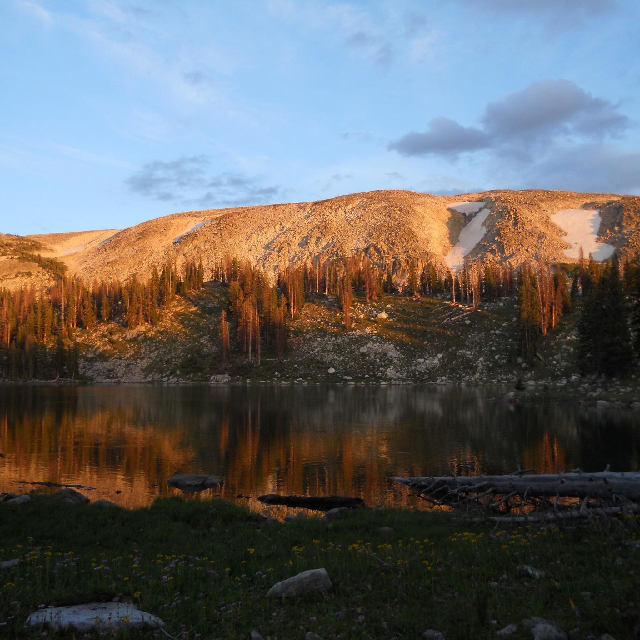
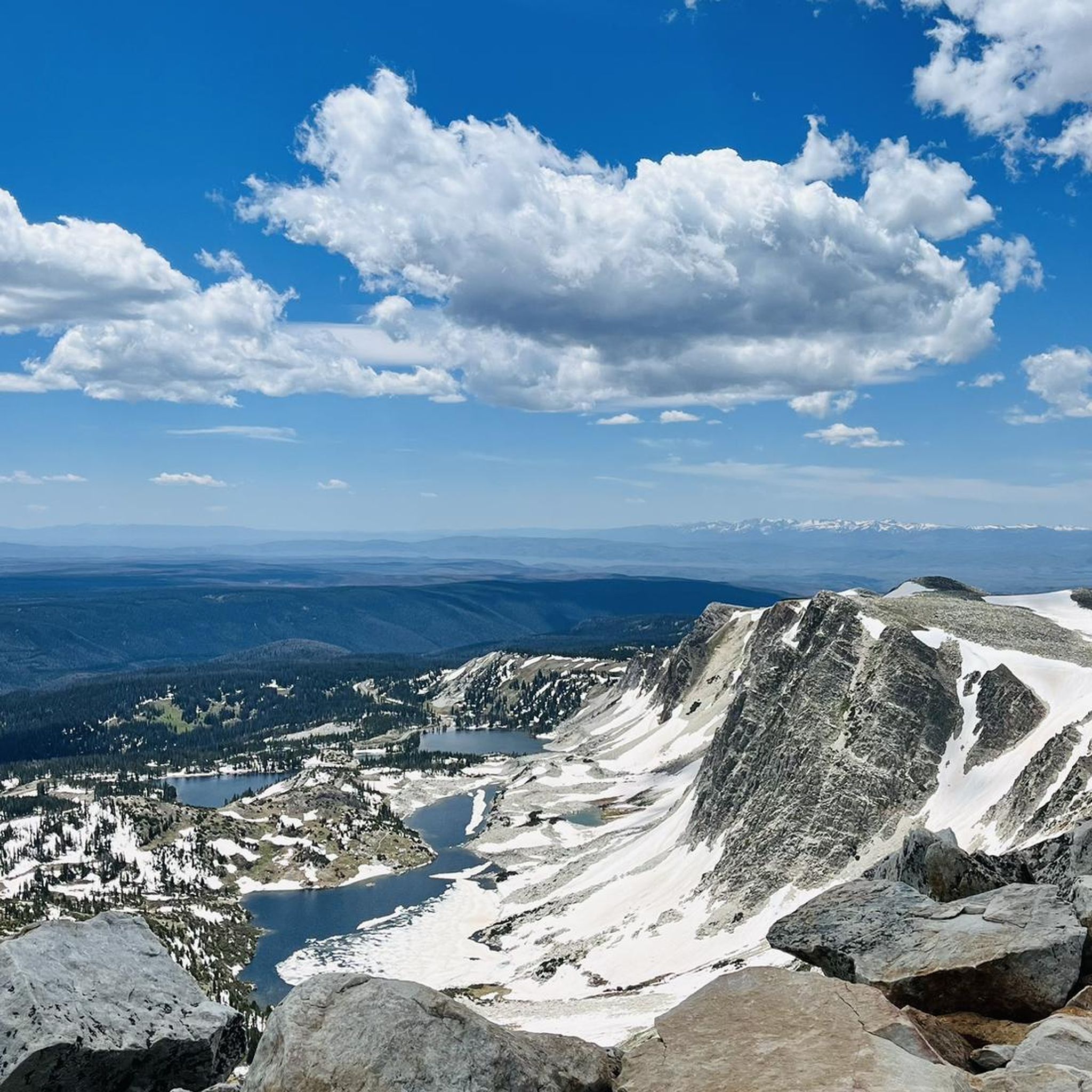
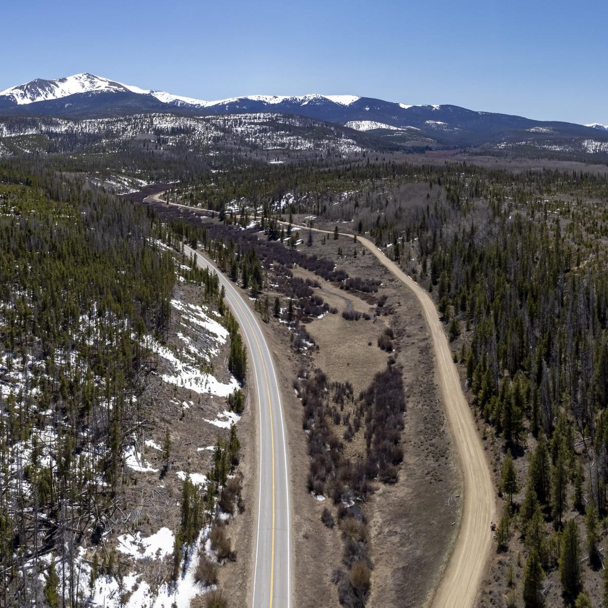
Road cycling in the Medicine Bow Mountains offers a diverse landscape characterized by majestic peaks, high alpine lakes, and dense forests. The region features an extensive network of paved and winding roads, providing varied terrain for cyclists. Elevations range significantly, encompassing sub-alpine and alpine tundra ecosystems, with routes often leading through rugged areas and past scenic viewpoints.
Best road cycling routes in the Medicine Bow Mountains
- The most popular road cycling route is Snowy Range Road (Centennial, Wyoming to North…
Last updated: July 7, 2026
7
riders
78.6km
03:41
880m
880m
Cycle the moderate 48.9-mile TransAmerica Trail (Colorado) through diverse landscapes, gaining 2894 feet to Willow Creek Pass.
5
riders
119km
05:58
1,500m
1,500m
This difficult 73.7-mile road cycling route to the Alpine Visitor Center in Rocky Mountain National Park offers challenging climbs and alpin

Sign up for free
1
riders
48.4km
02:24
450m
450m
Road cycling the Fraser to Granby Trail offers 30.1 miles of moderate terrain through the scenic Fraser Valley in Colorado.
3
riders
129km
06:35
2,280m
2,280m
Embark on a truly memorable road cycling journey along the Snowy Range Road, a difficult 80.1-mile (128.9 km) route that carves its way through the majestic Snowy Range Mountains. You'll…
17.9km
01:00
200m
200m
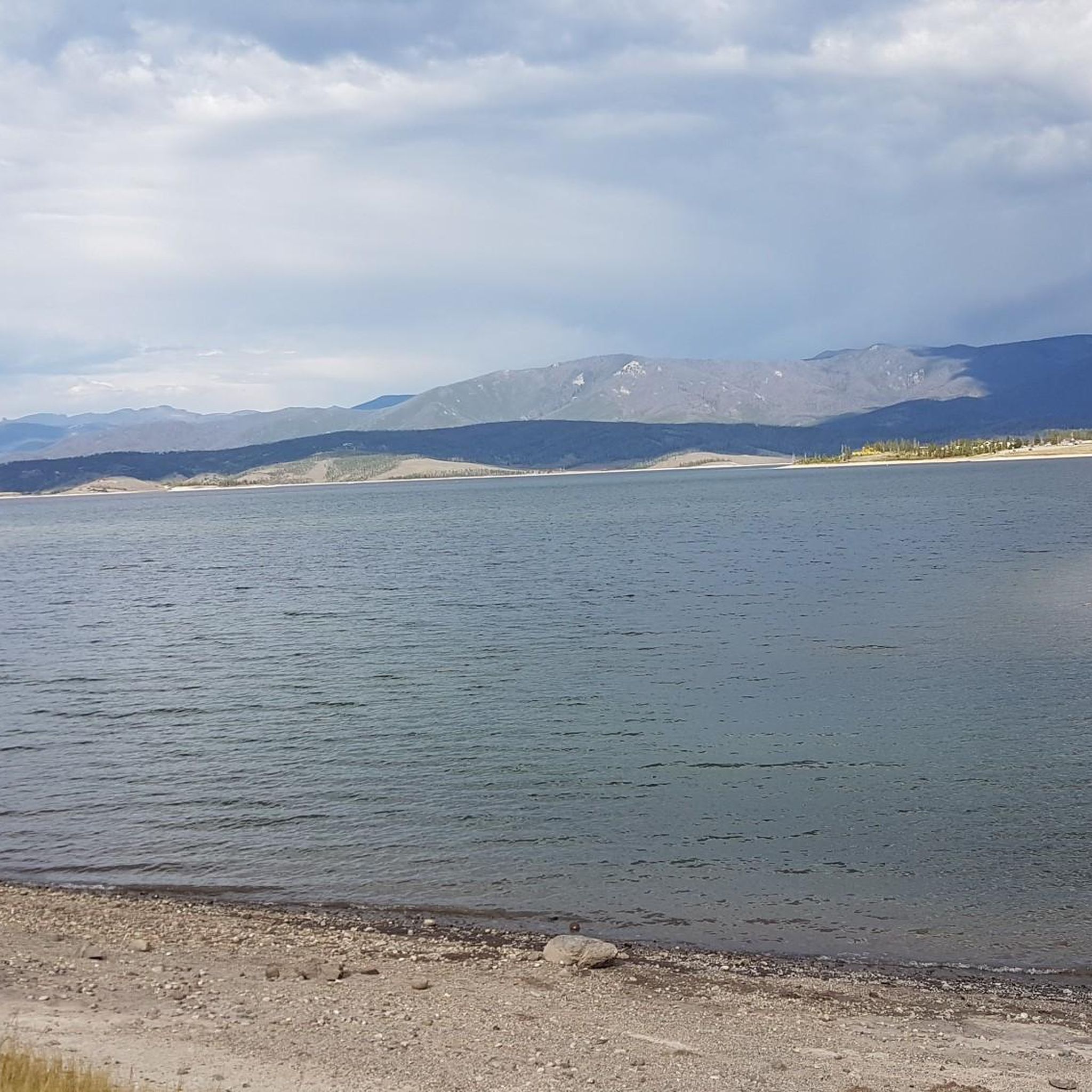
Enjoy an easy 11.1-mile road cycling route around Lake Granby, offering scenic views of the lake and surrounding mountains.
95.0km
05:02
1,200m
1,200m
This difficult 59-mile racebike loop north of Kremmling offers challenging climbs and over 3900 feet of elevation gain through scenic Colora
14.4km
00:55
370m
370m
The Barber Lake Road and Snowy Range Road loop offers a truly memorable road cycling experience, rated moderate, covering 9.0 miles (14.4 km) with 1226 feet (374 metres) of elevation…
34
riders
70.1km
03:32
1,090m
1,090m
Hard road ride. Very good fitness required. Some segments of this route may be unpaved and difficult to ride.
7
riders
47.2km
02:41
1,000m
1,000m
If you're looking for a serious road cycling challenge with big mountain views, the Nici Self Historical Museum – Barber Lake Road loop from Centennial delivers. This difficult 29.3-mile (47.2…
5.0
(1)
6
riders
35.6km
02:07
850m
850m
Moderate road ride. Good fitness required. Mostly well-paved surfaces and easy to ride.
Get access to more routes and recommendations from other explorers.
Sign up for free
Already have an account?
Our route recommendations are based on thousands of hikes, rides, and runs completed by other people on komoot.
Start today with a free account
Your next adventure awaits.
Login or Signup
Tips from the Community

Amazing pass! But be cautious about elevation sickness. The pass is at 3306 meters, and symptoms of elevation sickness usually become noticeable at around 2800 meters.
0
0

The Colorado River, with a length of approximately 2,333 km, is the most important river in southwestern North America. It originates in the Rocky Mountains in Rocky Mountain National Park in the state of Colorado. The trail is wide, wheelchair- and stroller-accessible, and runs along the young Colorado River in the Kawuneeche Valley. Here, it still flows as a relatively small river, where elk and moose are also frequented. Many informational panels provide insight into earlier life and the settlers.
0
0

This overlook is one of the official overlooks along Trail Ridge Road and offers an amazing panorama of the Never Summer Range and Kawnueeche Valley.
0
0
This overlook area is one of the official overlooks along Trail Ridge Road. From here you get a nice view of the Gore Range, The Never Summer Mountains and Long's Peak.
0
0

Rocky Mountain National Park's Alpine Visitor Center is located at 11,796 feet and sits four miles east of the Continental Divide. It offers restrooms, exhibits and a gift shop. Due to the winter environment the visitor center usually opens around Memorial Day and closes sometime in October.
0
0

Libby Flats Observation Point is a National Forest overlook off the side of the Snowy Range Scenic Byway. There is a short dirt trail that leads to the overlook area, which offers awesome views of Medicine Bow Peak and Rocky Mountain National Park.
0
0

The entire Snowy Range Road is gorgeous, but this pass has to be its crowning glory. There is a parking area, so you can start a run here if you like; but if you start somewhere else and use this as the endpoint, you can have a relaxed, downhill run on the way back.
1
0
Of all the sights along Snowy Range Road, pretty Lake Marie is one of the best. If you decide you'd rather do a trail run than a road run, you can link right into the Lake Marie trail network.
1
0
Frequently Asked Questions
How many road cycling routes are available in the Medicine Bow Mountains?
The Medicine Bow Mountains offer a wide selection of road cycling routes. Our guide features 12 distinct routes, ranging from easy to difficult, ensuring options for various skill levels.
When is the best time of year for road cycling in the Medicine Bow Mountains?
The prime season for road cycling in the Medicine Bow Mountains is generally from late May to early October. During this period, key routes like the Snowy Range Scenic Byway are typically open, offering access to higher elevations and stunning views. July and August are particularly beautiful, with meadows often carpeted in wildflowers.
What kind of terrain can I expect on road cycling routes in the Medicine Bow Mountains?
You can expect a diverse landscape characterized by winding mountain roads, high alpine scenery, and dense forests. Elevations vary significantly, encompassing sub-alpine and alpine tundra ecosystems. While most routes are paved, some segments, especially on less-traveled roads, might include unpaved sections, as noted in the region research.
Are there any family-friendly road cycling routes in the Medicine Bow Mountains?
Yes, while many routes feature significant elevation gain, there are options suitable for families. For instance, the Lake Granby route is rated as easy and offers a more gentle experience. Always check the route details for specific difficulty and elevation profiles to ensure it matches your family's abilities.
What towns are good bases for road cyclists exploring the Medicine Bow Mountains?
Laramie and Centennial, Wyoming, are excellent towns to base yourself for road cycling adventures in the Medicine Bow Mountains. They offer amenities and convenient access to many popular routes, including the iconic Snowy Range Scenic Byway.
What can I see along the road cycling routes in the Medicine Bow Mountains?
Road cycling in the Medicine Bow Mountains offers breathtaking scenery and opportunities to spot wildlife. You'll encounter majestic peaks like Medicine Bow Peak, pristine high alpine lakes such as Lookout Lake and Twin Crater Lakes, and diverse ecosystems. Keep an eye out for pica, marmots, foxes, moose, and Rocky Mountain Elk. Scenic viewpoints like Libby Flats Observation Point provide stunning panoramic views.
How challenging is road cycling on the Snowy Range Scenic Byway?
The Snowy Range Scenic Byway (Highway 130) is a significant attraction for road cyclists, cutting through the forest and reaching elevations of nearly 11,000 feet. Routes like Snowy Range Road (Centennial, Wyoming to North Platte River) involve substantial elevation gain, making it a challenging but rewarding experience for cyclists with good fitness levels.
Are there any loop road cycling routes in the Medicine Bow Mountains?
Yes, the Medicine Bow Mountains offer several loop options for road cyclists. A popular choice is the Barber Lake Road and Snowy Range Road loop, which provides varied terrain and scenic views. Another option is the Nici Self Historical Museum – Barber Lake Road loop from Centennial.
What do other road cyclists enjoy most about the Medicine Bow Mountains?
The Medicine Bow Mountains are highly rated by the komoot community, with an average score of 5.0 stars. Reviewers often praise the stunning high alpine scenery, the challenging climbs, and the sense of adventure found on routes like RMNP/Alpine Visitor Center, which offers expansive mountain views.
Are there any long-distance road cycling routes that pass through the Medicine Bow Mountains?
Yes, the Medicine Bow Mountains are part of longer cycling adventures. The TransAmerica Trail (Colorado) is one such route that traverses parts of this region, offering an extended journey for long-distance cyclists.
What should I know about parking for road cycling trails in the Medicine Bow Mountains?
While specific parking details vary by trailhead, many popular access points for road cycling routes in the Medicine Bow Mountains, especially along the Snowy Range Scenic Byway and near towns like Centennial, offer designated parking areas. It's advisable to check local resources or specific route descriptions for the most accurate parking information before your ride.
Are there any specific permits required for cycling in the Medicine Bow National Forest?
Generally, no specific permits are required for road cycling on established public roads within the Medicine Bow National Forest. However, it's always a good practice to check the official U.S. Forest Service website or local ranger district for any current regulations or special requirements, especially if you plan to venture into specific recreation areas or participate in organized events. For more information, you can visit the Medicine Bow National Forest page on Visit Laramie.
Most popular routes in the Medicine Bow Mountains
Most popular attractions in the Medicine Bow Mountains

Get inspired with the komoot mobile app


Explore more
Browse the best Road cycling routes in other regions.
