The best traffic-free bike rides around Champoléon
4.7
(59)
1,696
riders
41
rides
No traffic touring cycling routes around Champoléon traverse a diverse mountainous landscape within the Hautes-Alpes, characterized by deep glacial valleys and high peaks. The region features the Drac Blanc river, flowing through wide valleys that transition into larch forests and alpine meadows. Cyclists encounter varied terrain, including ascents to high-altitude glacial lakes and routes passing by numerous waterfalls.
Best no traffic touring cycling routes around Champoléon
- The most popular no traffic touring cycling route is Cascade – Gioberney Waterfall loop from Le Bourg, a 12.4 miles (20.0 km) trail that takes 1 hour 38 minutes to complete, featuring a significant elevation gain towards the Gioberney Waterfall.
- Another top favourite among local touring cyclists is Lac des Sirènes – Le Drouvet Summit (2655 m) loop from Orcières, a difficult 13.9 miles (22.3 km) path that climbs to a high summit, offering expansive mountain views and passing a glacial lake.
- Local touring cyclists also love the Ditch bridge loop from Saint-Jean-Saint-Nicolas, a 14.8 miles (23.9 km) trail leading through varied terrain with moderate elevation changes, often completed in about 2 hours 6 minutes.
- Touring cycling around Champoléon is defined by mountainous terrain, glacial valleys, larch forests, and alpine meadows. The network offers options for different ability levels, from moderate valley routes to challenging high-altitude climbs.
- The routes in Champoléon are highly rated by the komoot community with an average score of 4.5 stars from over 40 reviews. More than 1,500 touring cyclists have used komoot to explore Champoléon's varied terrain.
Last updated: July 5, 2026
5.0
(2)
33
riders
20.5km
01:40
580m
580m
Hard bike ride. Very good fitness required. Mostly paved surfaces. Suitable for all skill levels.
15
riders
21.2km
02:53
1,130m
1,120m
Hard bike ride. Very good fitness required. Mostly paved surfaces. Suitable for all skill levels.

Sign up for free
27
riders
17.0km
02:14
850m
840m
Hard bike ride. Very good fitness required. Mostly paved surfaces. Suitable for all skill levels.
5.0
(1)
17
riders
19.4km
01:38
230m
230m
Moderate bike ride. Good fitness required. Mostly paved surfaces. Suitable for all skill levels.
13
riders
23.7km
02:09
380m
380m
Hard bike ride. Good fitness required. You may need to push your bike for some segments of this route.
Get access to more routes and recommendations from other explorers.
Sign up for free
Already have an account?
Our route recommendations are based on thousands of hikes, rides, and runs completed by other people on komoot.
Start today with a free account
Your next adventure awaits.
Login or Signup
Popular around Champoléon

8 hikes in the Hautes-Alpes — mountain passes and high-altitude lakes
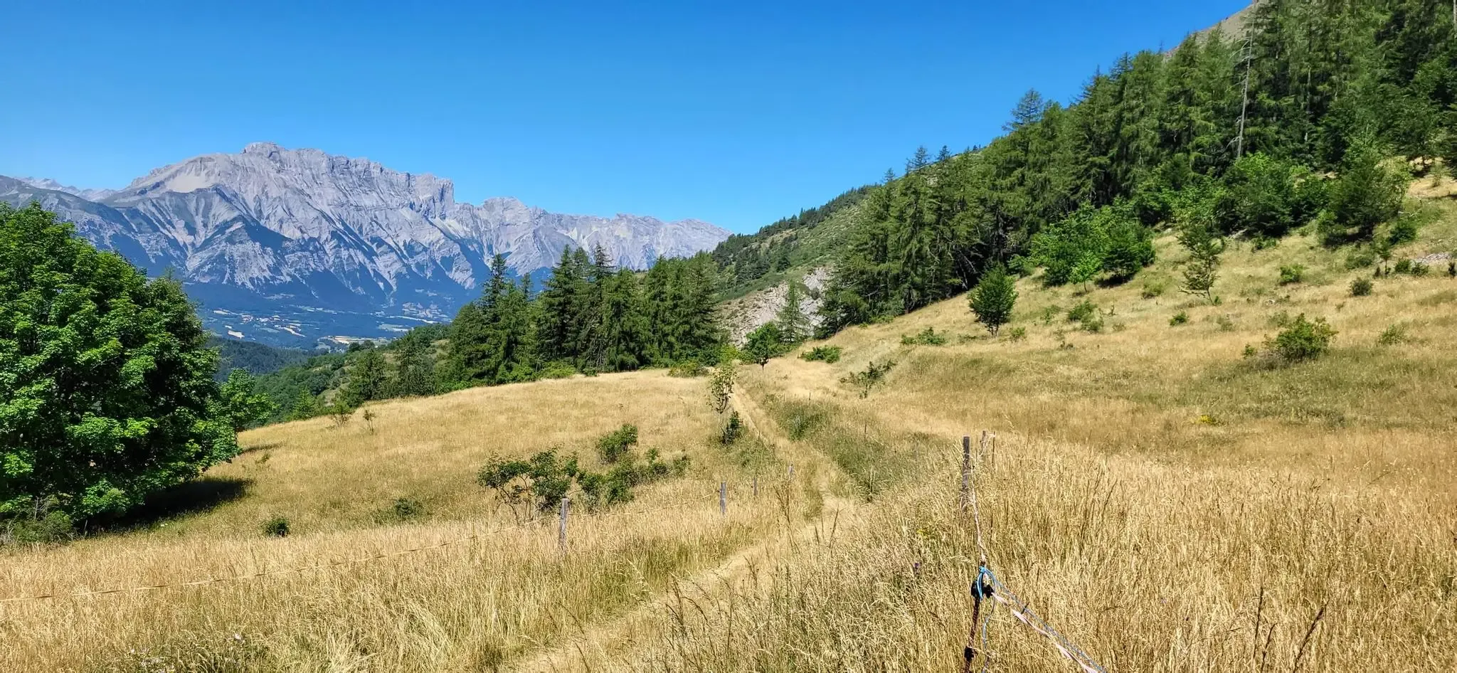
Bocages, forests and high peaks — The Tour of Champsaur

Écrins, Belledonne and Vercors – HexaTrek, Hautes-Alpes
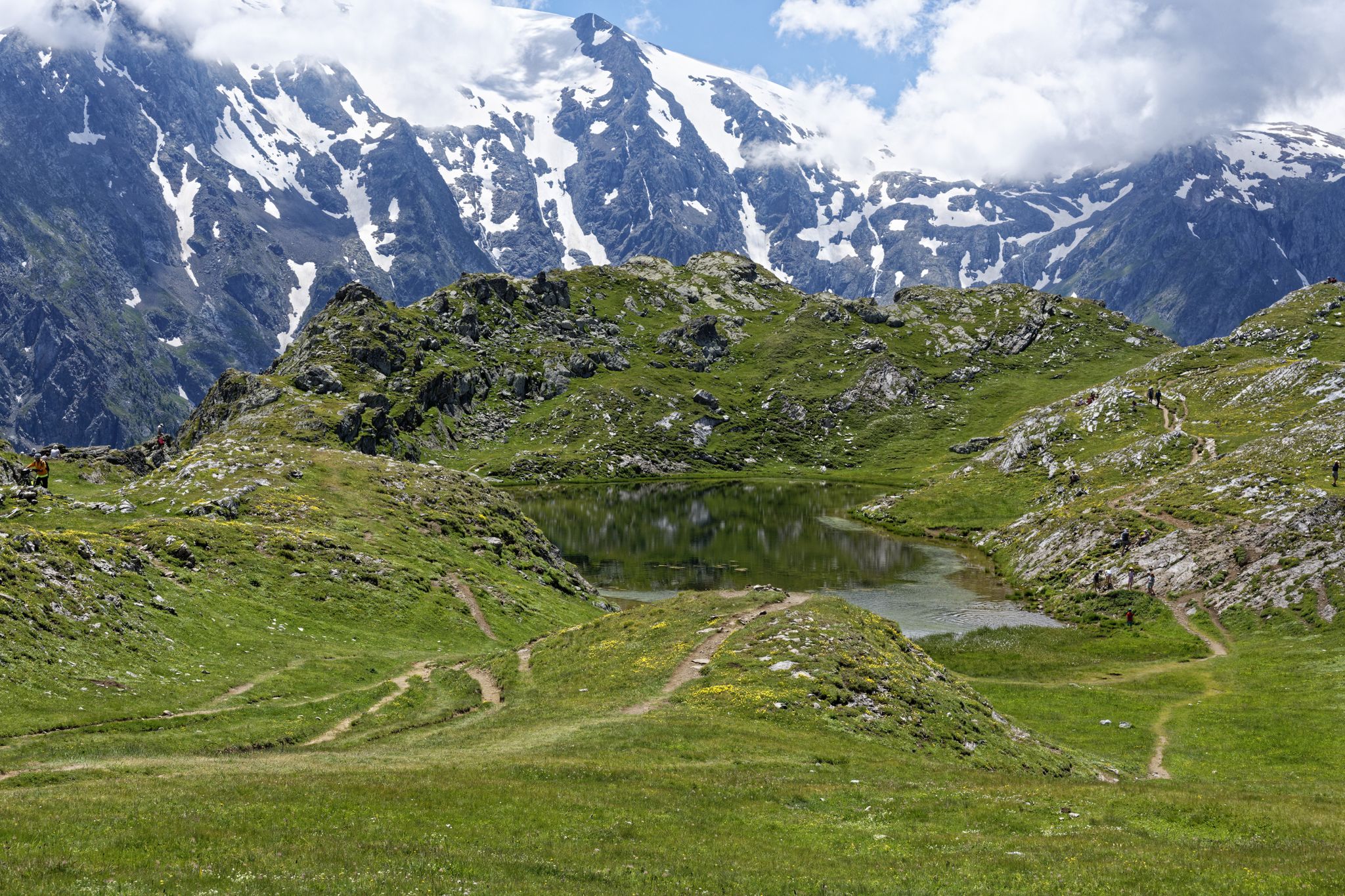
Exploring the Oisans and the Écrins in France — the GR 54
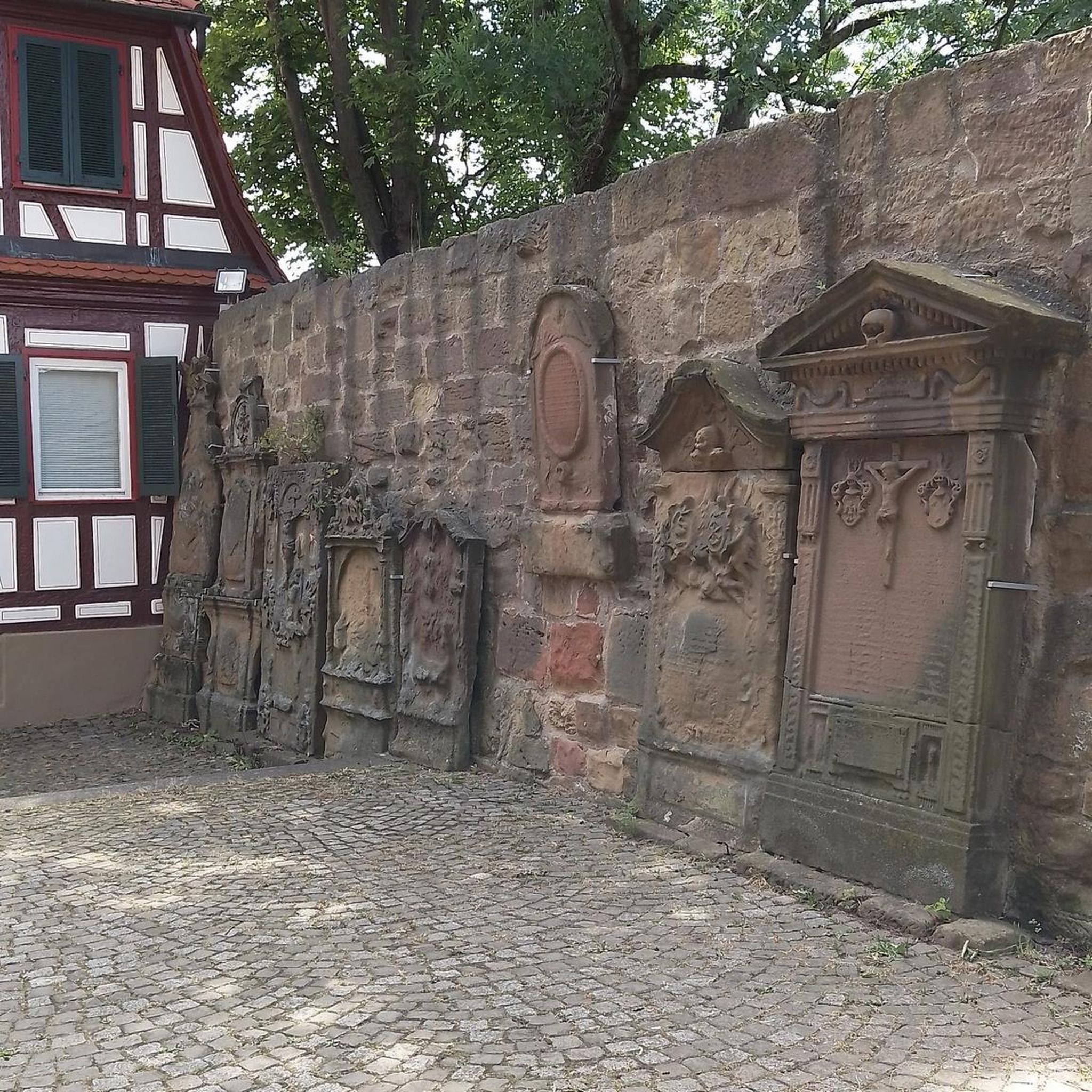
Traffic-free bike rides around Champoléon

Traffic-free bike rides around Champoléon
Other adventures around Champoléon


Tips from the Community


Easy access with the cable cars, but beware of the sudden change in altitude. Magnificent views follow, along well-marked but sometimes steep trails (not a particularly family-friendly hike, especially for older people). Well worth planning a day trip.
0
0


Telecabine running during summer. Keep hold of pass - the lift is in two sections and you'll need your pass to get on the second section. Fabulous 360 deg views at the top.
0
0

The Forest des Estaris is a small mountain hamlet set in the middle of summer pastures. It offers superb views of the Drac Noir mountains, a river which served as a kingdom for bears when they populated the surrounding area.
0
0
This location constitutes a beautiful promontory from which to admire Lake Estaris to the north. Looking south, you overlook the Jumeaux Lakes and their cousin, Lac Profond.
0
0

Nestled at an altitude of 1,650 meters, the Gioberney refuge is located at the end of the Valgaudemar valley. Its parking lot is often popular with hikers during peak season. The views from the terrace are superb and overlook a beautiful waterfall.
1
0
Frequently Asked Questions
How many no-traffic touring cycling routes are available around Champoléon?
There are over 35 dedicated no-traffic touring cycling routes around Champoléon, offering a wide range of experiences for different skill levels. You'll find everything from easier rides to challenging mountain ascents.
What kind of terrain and elevation can I expect on these routes?
The routes around Champoléon feature diverse terrain, from wide valleys alongside the Drac Blanc river to challenging climbs into the surrounding mountains. You can expect significant elevation gains on many routes, with some reaching over 1000 meters of ascent, like the difficult Lac des Sirènes – Le Drouvet Summit (2655 m) loop from Orcières, which climbs over 1100 meters.
Are there any circular no-traffic touring routes in Champoléon?
Yes, many of the no-traffic touring routes around Champoléon are circular, allowing you to start and end at the same point. For example, the challenging Cascade – Gioberney Waterfall loop from Le Bourg offers a scenic circular ride of about 20 km, while the moderate Château de Saint-Léger loop from Saint-Léger-les-Mélèzes is a shorter 13 km loop.
What natural features or landmarks can I see along the no-traffic touring cycling routes?
Champoléon's routes offer stunning natural beauty and notable landmarks. You can cycle past glacial lakes like Lac des Sirènes, or discover impressive waterfalls such as the Cascade de la Pisse. The region is also home to traditional hamlets with charming old houses and sundials, and you might even spot chamois and ibex in the higher elevations.
Are there any routes that pass by mountain passes?
Yes, the region around Champoléon is known for its mountain passes. While specific no-traffic touring routes might not directly traverse the highest passes, you can find routes that offer views or access to areas near passes like Col du Viallet or Pisse Pass, providing challenging climbs and panoramic vistas.
What is the best time of year for touring cycling in Champoléon?
The best time for touring cycling in Champoléon is generally from late spring through early autumn (May to October). During these months, the weather is typically mild, and the mountain passes are usually clear of snow, offering ideal conditions to explore the diverse landscapes from larch forests to high-altitude meadows.
Are there any family-friendly no-traffic cycling routes?
While many routes in Champoléon involve significant climbs, there are options suitable for families looking for quieter paths. Look for routes described as 'easy' or 'moderate' difficulty, which tend to have less elevation gain and are often found in the wider valley areas, away from heavy traffic. The guide includes 3 easy routes and 14 moderate routes that could be suitable depending on your family's experience.
What do other touring cyclists enjoy most about the routes in Champoléon?
The komoot community highly rates the touring cycling experience in Champoléon, with an average score of 4.5 stars. Reviewers often praise the region's unspoilt nature, the dramatic alpine scenery, and the sense of tranquility found on the no-traffic routes. The challenging climbs and rewarding views are frequently highlighted as well.
Are there any places to stay overnight or get refreshments along the routes?
Yes, you can find mountain refuges like the Gioberney Refuge and the Refuge du Tourond, which offer unique overnight stays and local culinary specialties. In the villages and hamlets, you may also find small cafes or guesthouses. Planning your route in advance will help you identify refreshment stops.
Can I bring my dog on these no-traffic touring cycling routes?
While many outdoor areas in the Hautes-Alpes are dog-friendly, specific rules may apply, especially within or bordering the Écrins National Park. It's generally advisable to keep dogs on a leash to protect local wildlife. Always check local regulations for the specific route you plan to take, particularly if it enters protected areas.
Where can I park my car to access these no-traffic cycling routes?
Parking is typically available in the main villages and hamlets, such as Le Bourg, Orcières, or Saint-Jean-Saint-Nicolas, which serve as common starting points for many routes. Look for designated parking areas in these locations to begin your no-traffic touring cycling adventure.
Most popular routes around Champoléon
Most popular attractions around Champoléon

Get inspired with the komoot mobile app


Explore more
Browse the best Cycling routes in other regions.
