The best road cycling routes around Champoléon
4.8
(36)
1,030
riders
42
rides
Road cycling routes around Champoléon are situated in the Champsaur valley within the Hautes-Alpes department, offering a diverse Alpine environment. The terrain features wide valley floors, imposing peaks, and access to the edge of the Écrins National Park. Cyclists can expect roads winding through larch forests and mountain meadows, with varied elevation profiles suitable for different skill levels. The region is characterized by its high mountain setting, providing both challenging climbs and rewarding descents.
Best road cycling routes around Champoléon
…Last updated: May 20, 2026
3
riders
39.6km
02:10
690m
690m
Moderate road ride. Good fitness required. Mostly well-paved surfaces and easy to ride.
37
riders
19.6km
01:15
560m
560m
Moderate road ride. Good fitness required. Mostly well-paved surfaces and easy to ride.

Sign up for free
4.7
(3)
57
riders
37.0km
02:28
1,060m
1,060m
Hard road ride. Very good fitness required. Some segments of this route may be unpaved and difficult to ride.
5.0
(2)
25
riders
69.5km
03:39
1,290m
1,290m
Hard road ride. Very good fitness required. Mostly well-paved surfaces and easy to ride.
5.0
(1)
23
riders
Moderate road ride. Good fitness required. Mostly well-paved surfaces and easy to ride.
Get access to more routes and recommendations from other explorers.
Sign up for free
Already have an account?
Our route recommendations are based on thousands of hikes, rides, and runs completed by other people on komoot.
Start today with a free account
Your next adventure awaits.
Login or Signup
Popular around Champoléon

8 hikes in the Hautes-Alpes — mountain passes and high-altitude lakes
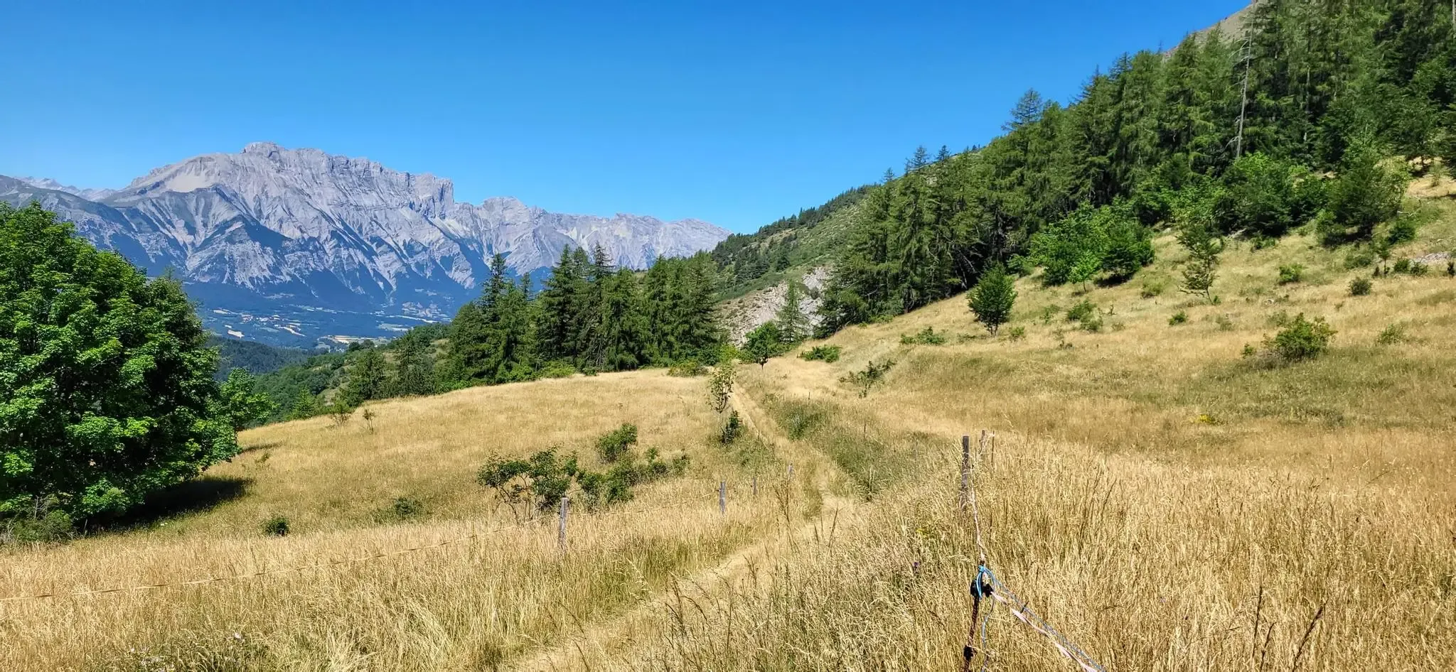
Bocages, forests and high peaks — The Tour of Champsaur

Écrins, Belledonne and Vercors – HexaTrek, Hautes-Alpes
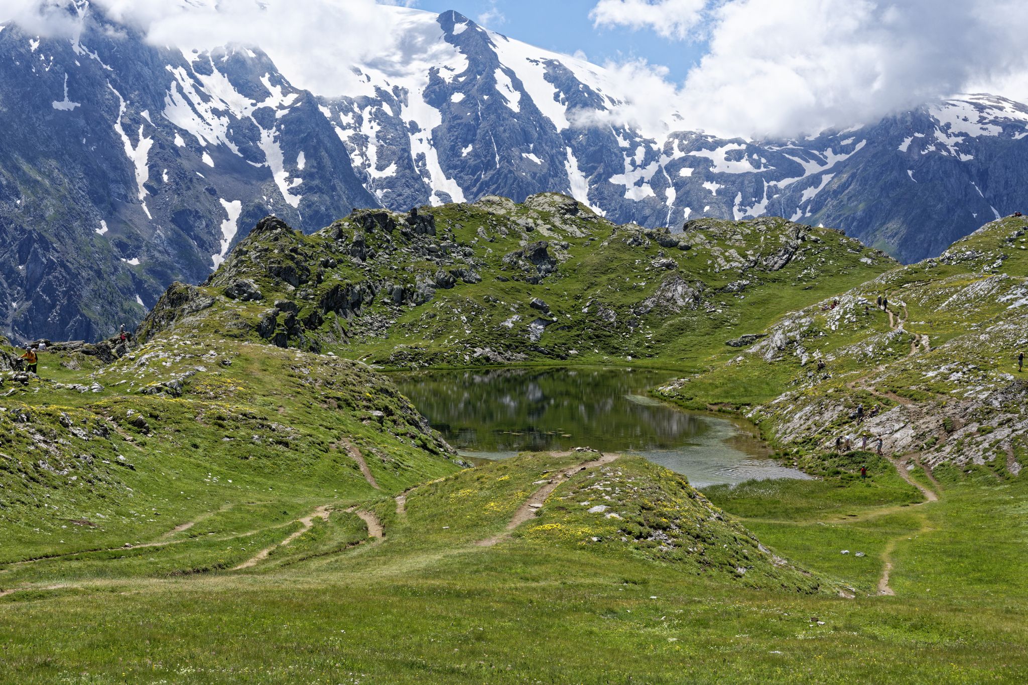
Exploring the Oisans and the Écrins in France — the GR 54
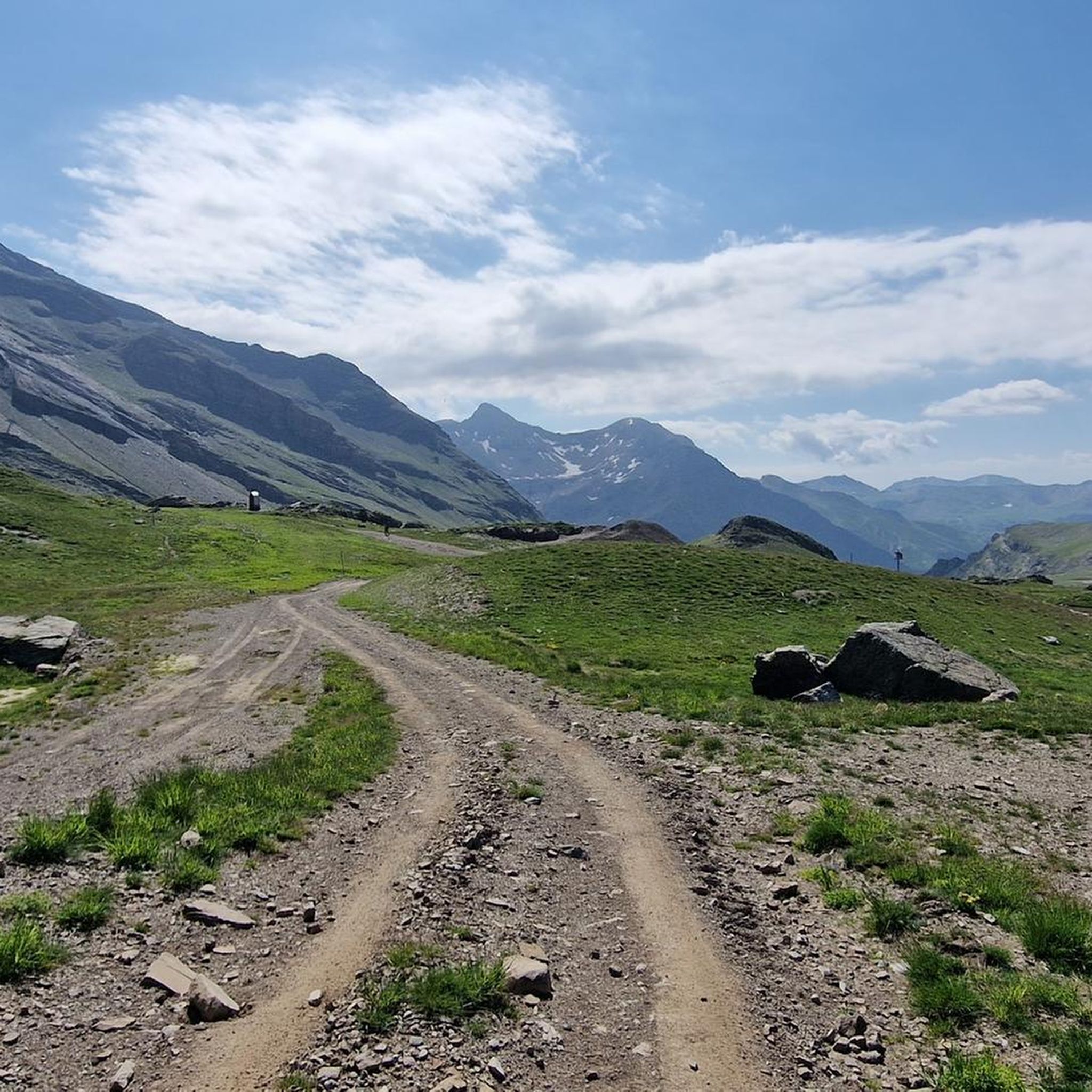
Hiking around Champoléon
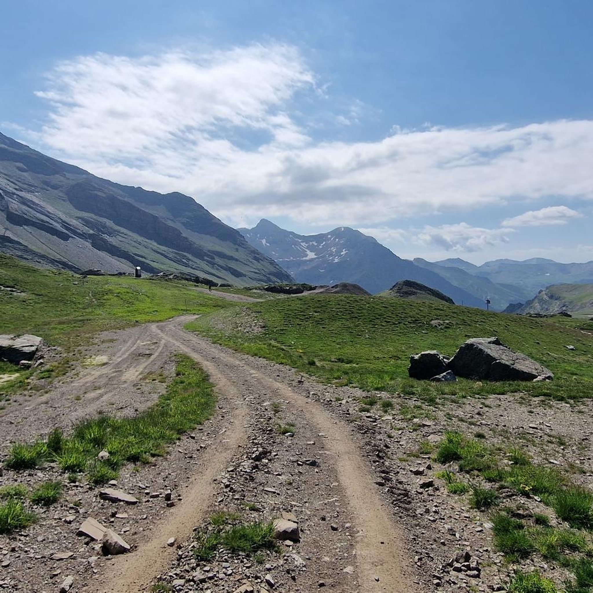
MTB Trails around Champoléon
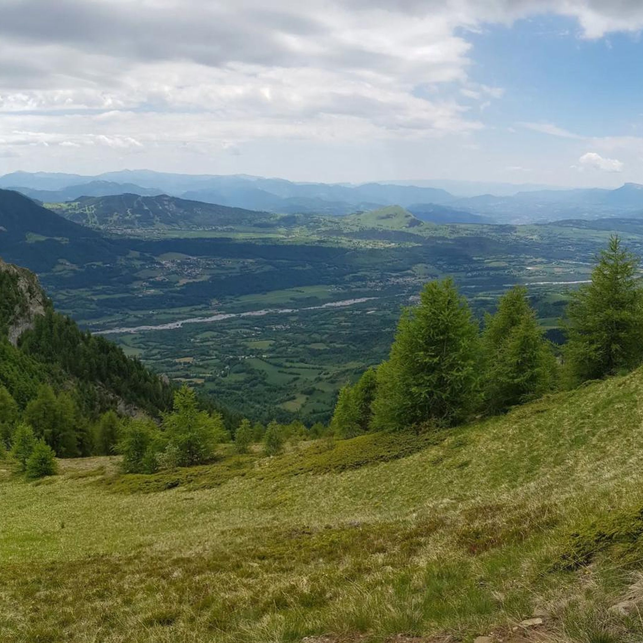
Running Trails around Champoléon
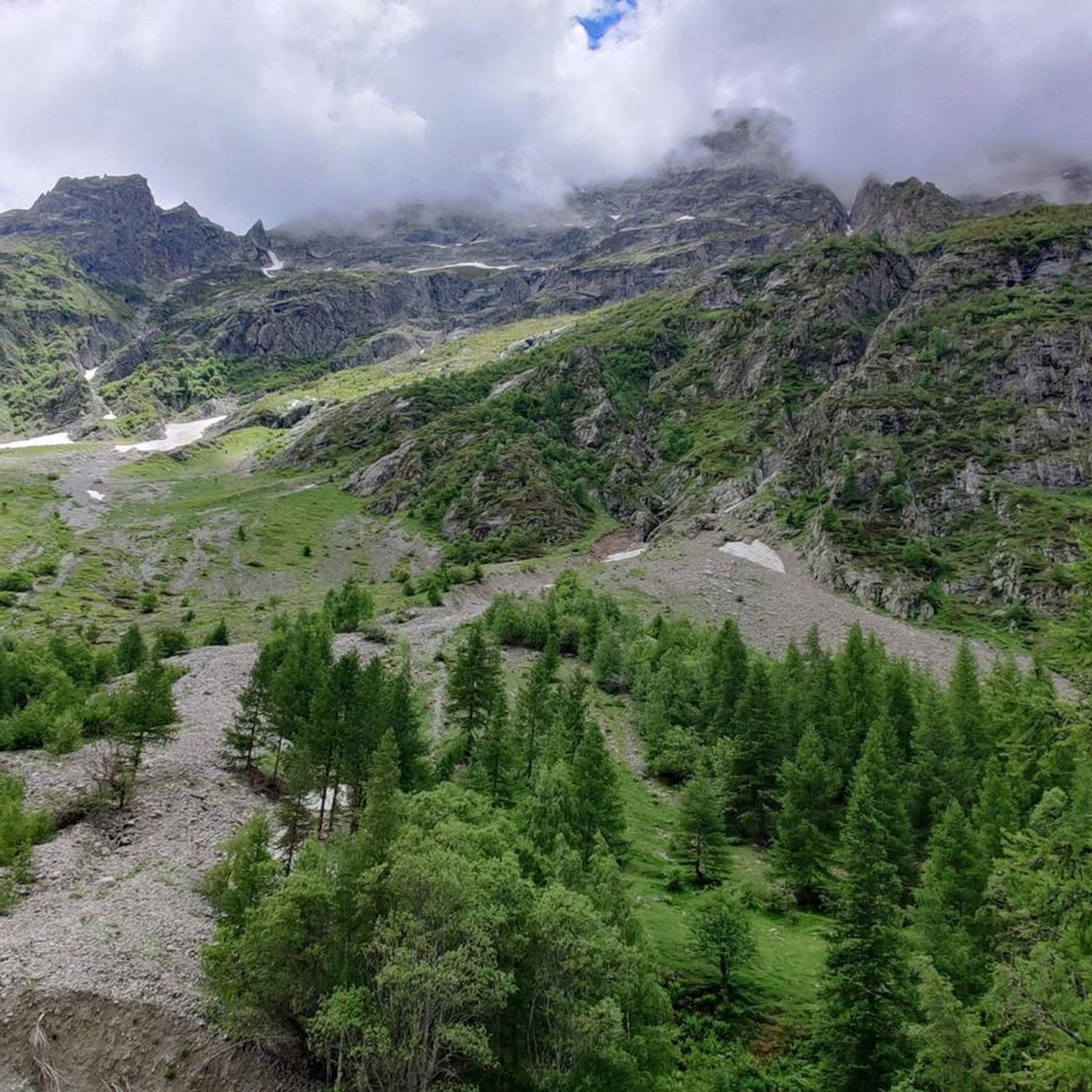
Cycling around Champoléon
Mountain Hikes around Champoléon

Gravel biking around Champoléon
Other adventures around Champoléon


Tips from the Community

Sanctuary of Our Lady of Laus
0
0
The shorter and less difficult part of the pass, watch out for the gravel on the descent, magnificent shaded landscape towards Notre Dame du Laus
0
0

A pretty pass before heading to Gap
0
0
Legendary pass of the Gapençais basin
1
0

Very nice and well known climb with beautiful scenery.
0
0

A climb with gentle slopes.
16
0
A valley with very little traffic surrounded by pine forests.
26
0
Frequently Asked Questions
How many road cycling routes are available around Champoléon?
There are over 40 road cycling routes around Champoléon, offering a diverse range of experiences. These routes cater to various skill levels, with 19 moderate and 21 difficult options available, ensuring there's a suitable ride for almost every cyclist.
What kind of terrain can I expect on road cycling routes in Champoléon?
Road cycling in Champoléon offers a diverse Alpine environment. You'll encounter wide valley floors, imposing peaks, and roads winding through larch forests and mountain meadows. The region is known for its high mountain setting, providing both challenging climbs and rewarding descents, characteristic of the Hautes-Alpes department.
Are there any family-friendly road cycling options in Champoléon?
While many routes in Champoléon feature significant elevation, there are a few easier options suitable for families or those seeking a less strenuous ride. The region's valley floors can offer gentler sections, though specific dedicated family-friendly paved routes are less common than challenging mountain climbs. It's best to check individual route profiles for elevation and distance to find the most suitable option for your family.
Can I bring my dog on road cycling routes in Champoléon?
While the Écrins National Park, which borders Champoléon, has specific regulations regarding dogs (often requiring them to be leashed), general road cycling routes outside protected areas may be more flexible. However, it's crucial to consider your dog's safety and comfort on paved roads with potential traffic and steep ascents. Always check local signage and park regulations if your route enters the National Park.
What are some scenic natural features or landmarks I can see while road cycling in Champoléon?
Champoléon is rich in natural beauty. You can cycle past stunning landscapes within the Champsaur valley, characterized by larch forests and mountain meadows. Notable natural features include high mountain lakes like Lac des Sirènes, and impressive waterfalls such as those near the Gioberney Refuge. The region also offers views towards the majestic peaks of the Écrins National Park.
Are there any routes that explore the Écrins National Park?
Yes, Champoléon lies on the edge of the Écrins National Park, offering routes that delve into its diverse landscapes. A popular option is At the heart of the Écrins National Park - Drac Blanc, Drac Noir, which explores the natural beauty near the Drac rivers within the park.
What is the best time of year for road cycling in Champoléon?
The best time for road cycling in Champoléon is typically during the warmer months, from late spring to early autumn (roughly June to September). During this period, mountain passes are generally clear of snow, and the weather is more stable, offering sunny conditions ideal for tackling the Alpine climbs. Summer also brings the 'Cols réservés' initiative in the Hautes-Alpes, where certain legendary roads are closed to motorized traffic on specific mornings, providing a unique cycling experience.
Are there any challenging climbs or iconic passes accessible from Champoléon?
Absolutely. While Champoléon itself is a tranquil base, its strategic location in the Hautes-Alpes provides access to legendary cols (mountain passes) famous from the Tour de France, such as the Izoard, Granon, Galibier, and Lautaret. These iconic climbs offer significant challenges and rewarding panoramic views. Routes like Serre Eyraud – Climb to Orcières-Merlette loop from Les Borels feature significant elevation gain characteristic of these Alpine ascents.
What do other road cyclists enjoy most about road cycling in Champoléon?
The road cycling routes in Champoléon are highly rated by the komoot community, with an average score of 4.7 stars from over 60 reviews. Cyclists often praise the stunning Alpine landscapes, the challenging yet rewarding climbs, and the diverse terrain that allows for varied experiences, from valley rides to high mountain passes.
Are there any circular road cycling routes starting from Champoléon or nearby villages?
Yes, many road cycling routes in the Champoléon area are designed as loops, allowing you to start and finish in the same location. For instance, the Champoleon valley – Chaillol 1600 loop from Orcières is a popular circular trail. These loops offer a convenient way to explore the region's diverse scenery without retracing your path.
Where can I find parking for my bike and car when starting a route?
Champoléon and its surrounding hamlets, as well as nearby villages like Orcières, typically offer public parking areas. For specific route starting points, it's advisable to check the route details on komoot, as many routes will indicate suitable parking locations near the trailhead. Given the region's focus on outdoor activities, parking for cyclists is generally accommodated.
Are there any charming villages or points of interest to explore along the routes?
Yes, the commune of Champoléon itself is composed of several charming hamlets featuring old houses with sundials, fountains, and chapels, providing a cultural backdrop. Additionally, routes may pass through or near other picturesque spots like Chaillol 1600 or offer views of the Vallon de Narreyroux, allowing for cultural stops amidst your ride.
Most popular routes around Champoléon
Most popular attractions around Champoléon

Get inspired with the komoot mobile app


Explore more
Browse the best Road cycling routes in other regions.
