The best walks and hikes around Champoléon
4.7
(579)
4,795
hikers
21
hikes
Hiking around Champoléon offers diverse mountain landscapes within the Champsaur Massif, bordering the Écrins National Park. The region features dramatic alpine scenery with prominent peaks like the Pic du Tourond, alongside pristine high-altitude glacial lakes and numerous waterfalls. Hikers traverse larch forests and mountain meadows, with river valleys shaped by the Drac de Champoléon torrent.
Best hiking trails around Champoléon
- The most popular hiking route is The heart of the Monde des six Lacs, a 6.2 miles (9.9 km)…
Last updated: August 19, 2026
4.8
(34)
264
hikers
9.90km
03:17
80m
870m
Moderate hike. Good fitness required. Mostly accessible paths. Sure-footedness required.
4.4
(31)
245
hikers
14.1km
05:47
820m
820m
Hard hike. Very good fitness required. Sure-footedness, sturdy shoes and alpine experience required.

Sign up for free
4.5
(14)
175
hikers
8.96km
03:21
330m
330m
Moderate hike. Good fitness required. Mostly accessible paths. Sure-footedness required.
4.7
(13)
129
hikers
18.5km
07:16
1,340m
1,340m
Hard hike. Very good fitness required. Easily-accessible paths. Suitable for all skill levels.
5.0
(1)
72
hikers
22.7km
11:49
1,760m
1,740m
Hard hike. Very good fitness required. Sure-footedness, sturdy shoes and alpine experience required.
Get access to more routes and recommendations from other explorers.
Sign up for free
Already have an account?
Our route recommendations are based on thousands of hikes, rides, and runs completed by other people on komoot.
Start today with a free account
Your next adventure awaits.
Login or Signup
Popular around Champoléon

8 hikes in the Hautes-Alpes — mountain passes and high-altitude lakes

Écrins, Belledonne and Vercors – HexaTrek, Hautes-Alpes
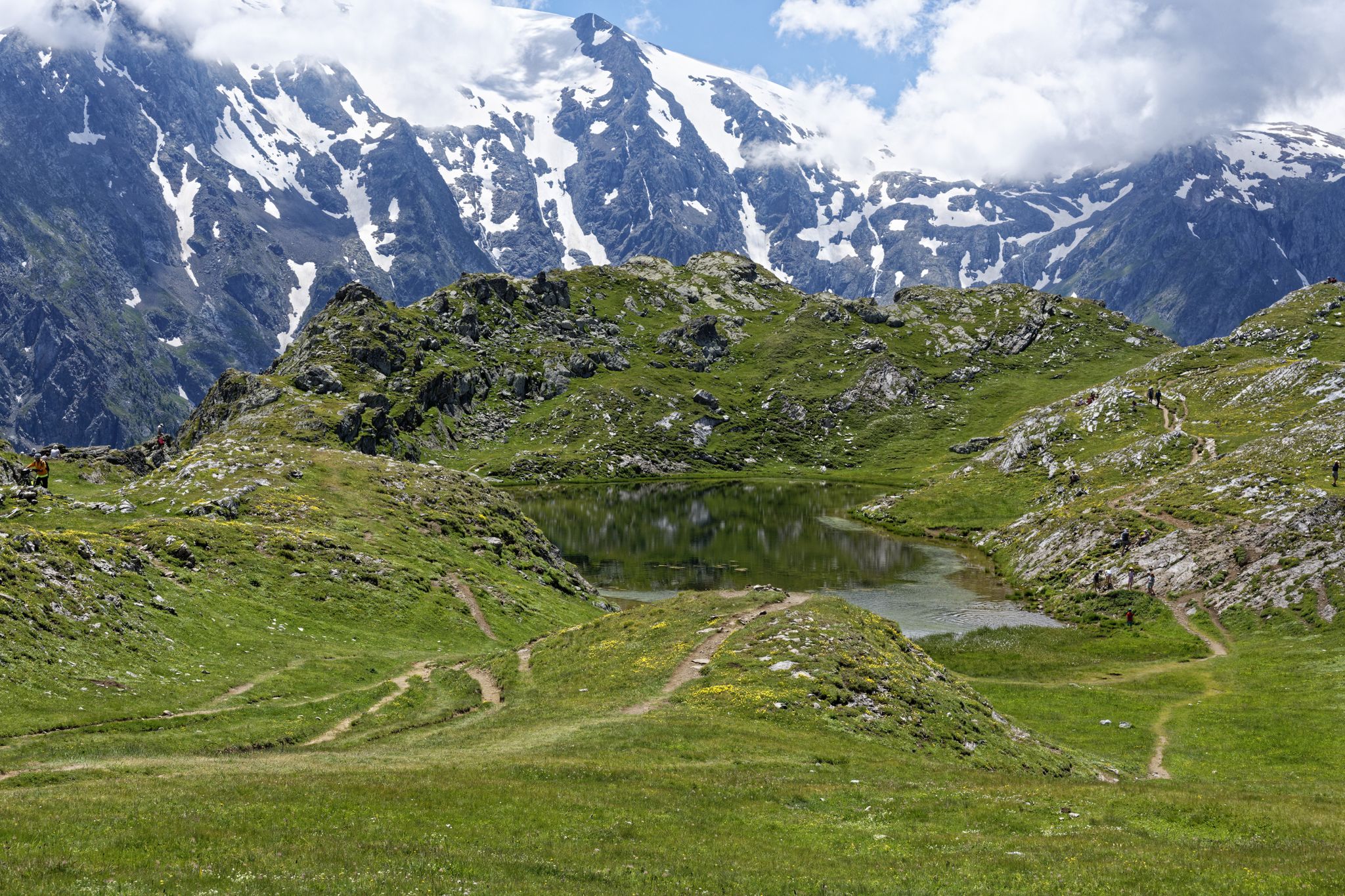
Exploring the Oisans and the Écrins in France — the GR 54
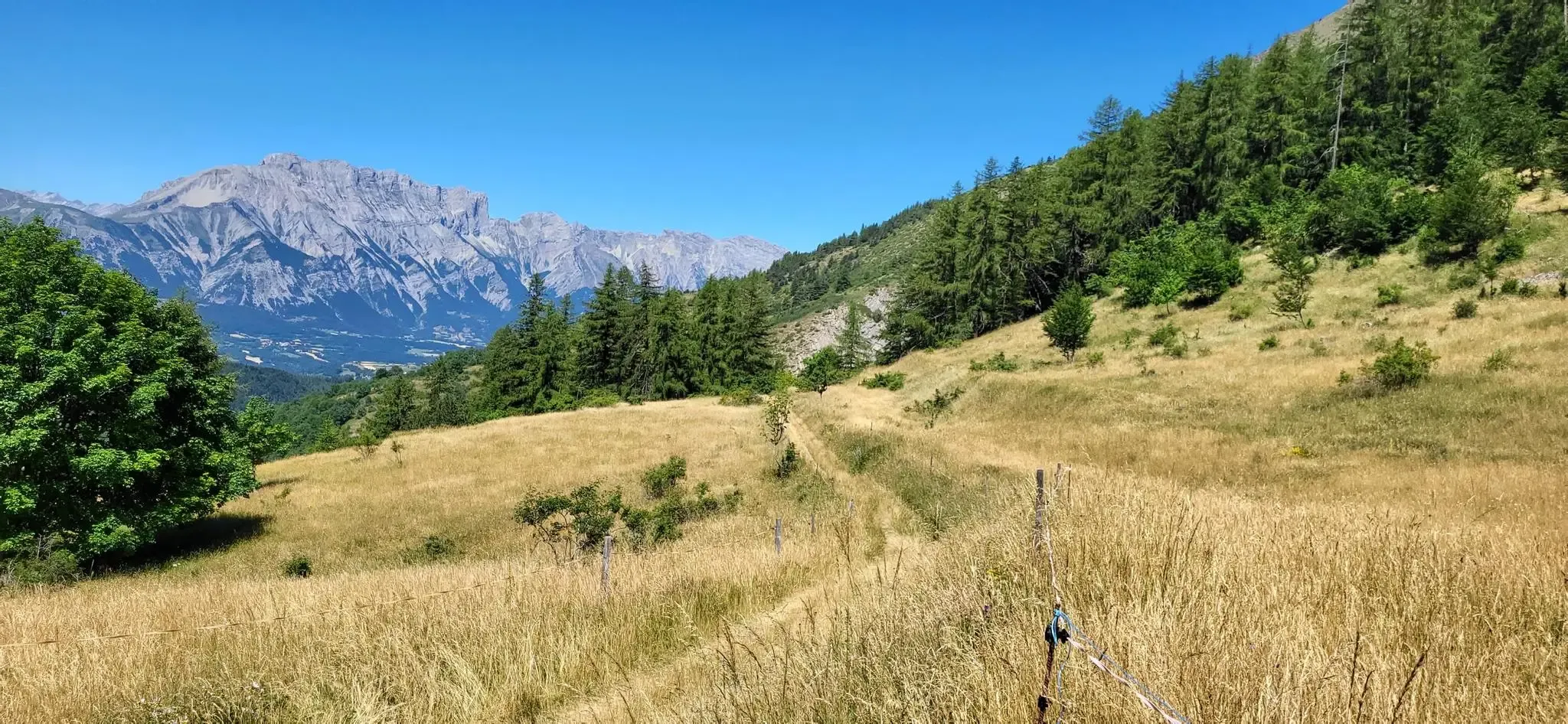
Bocages, forests and high peaks — The Tour of Champsaur
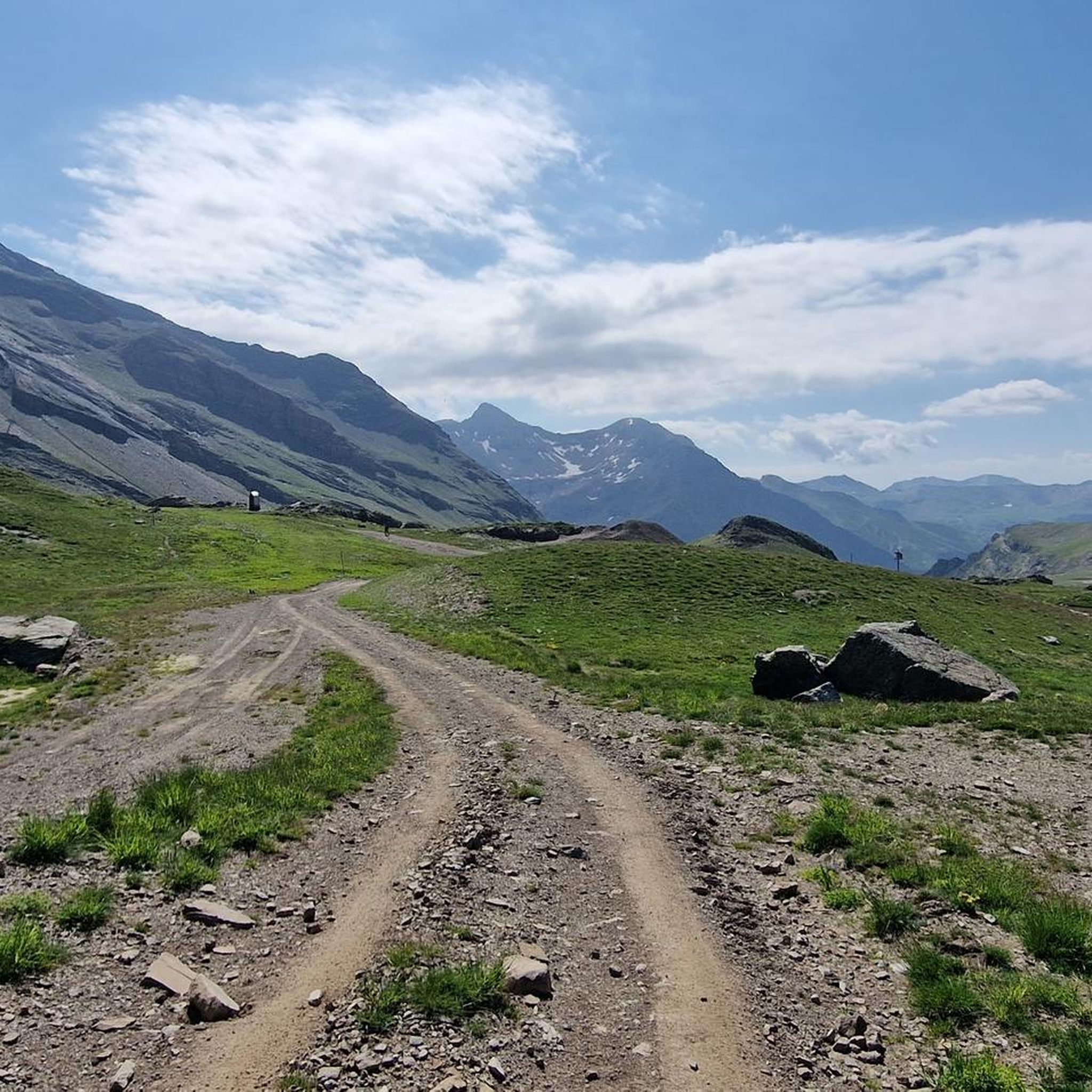
MTB Trails around Champoléon
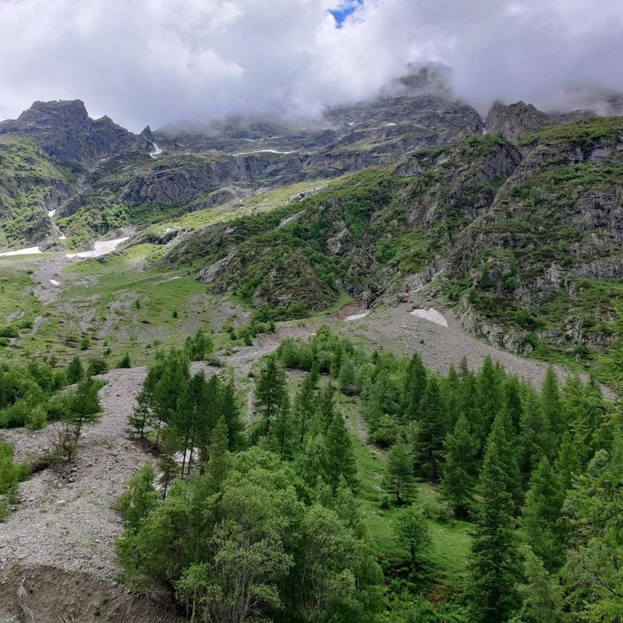
Cycling around Champoléon
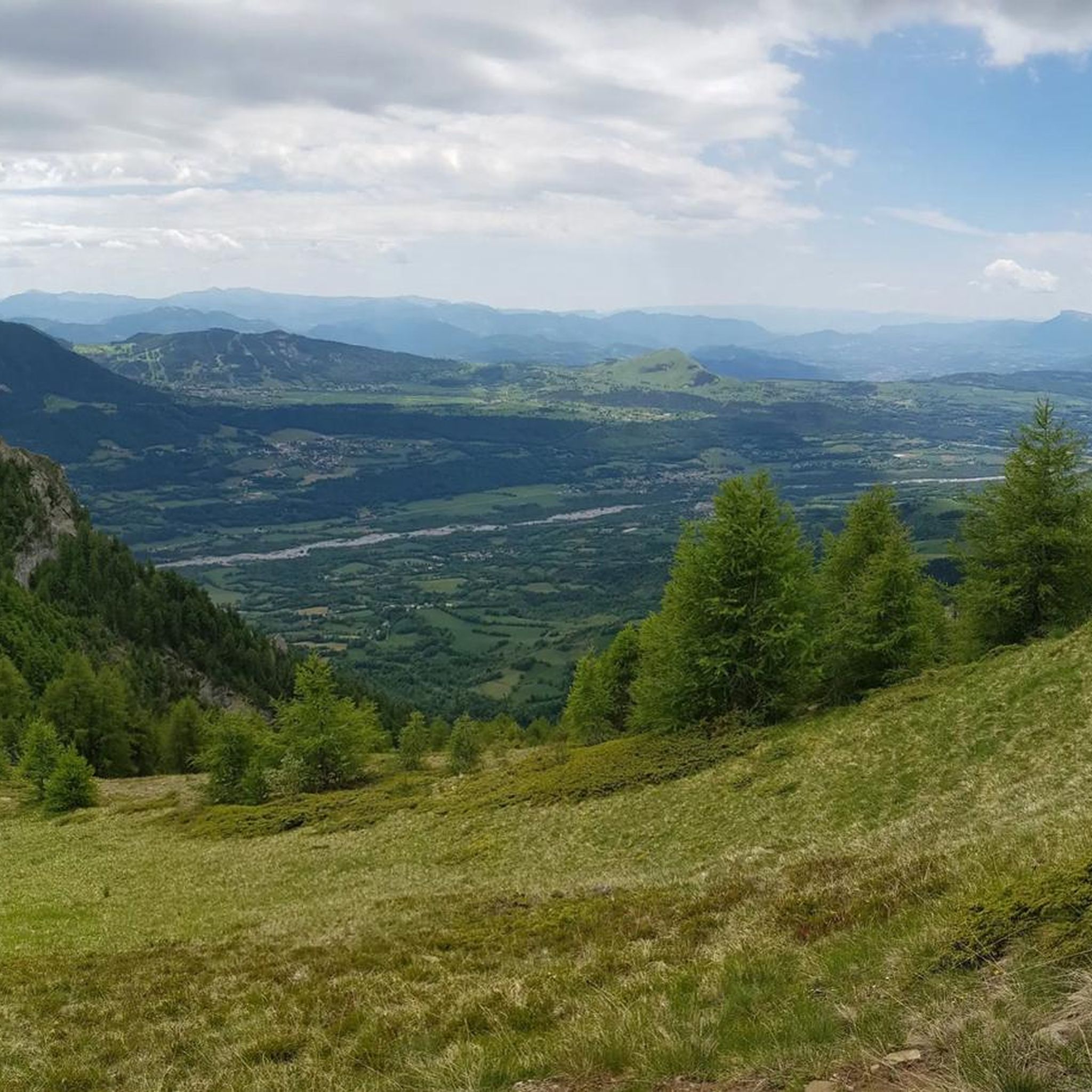
Road Cycling Routes around Champoléon
Running Trails around Champoléon
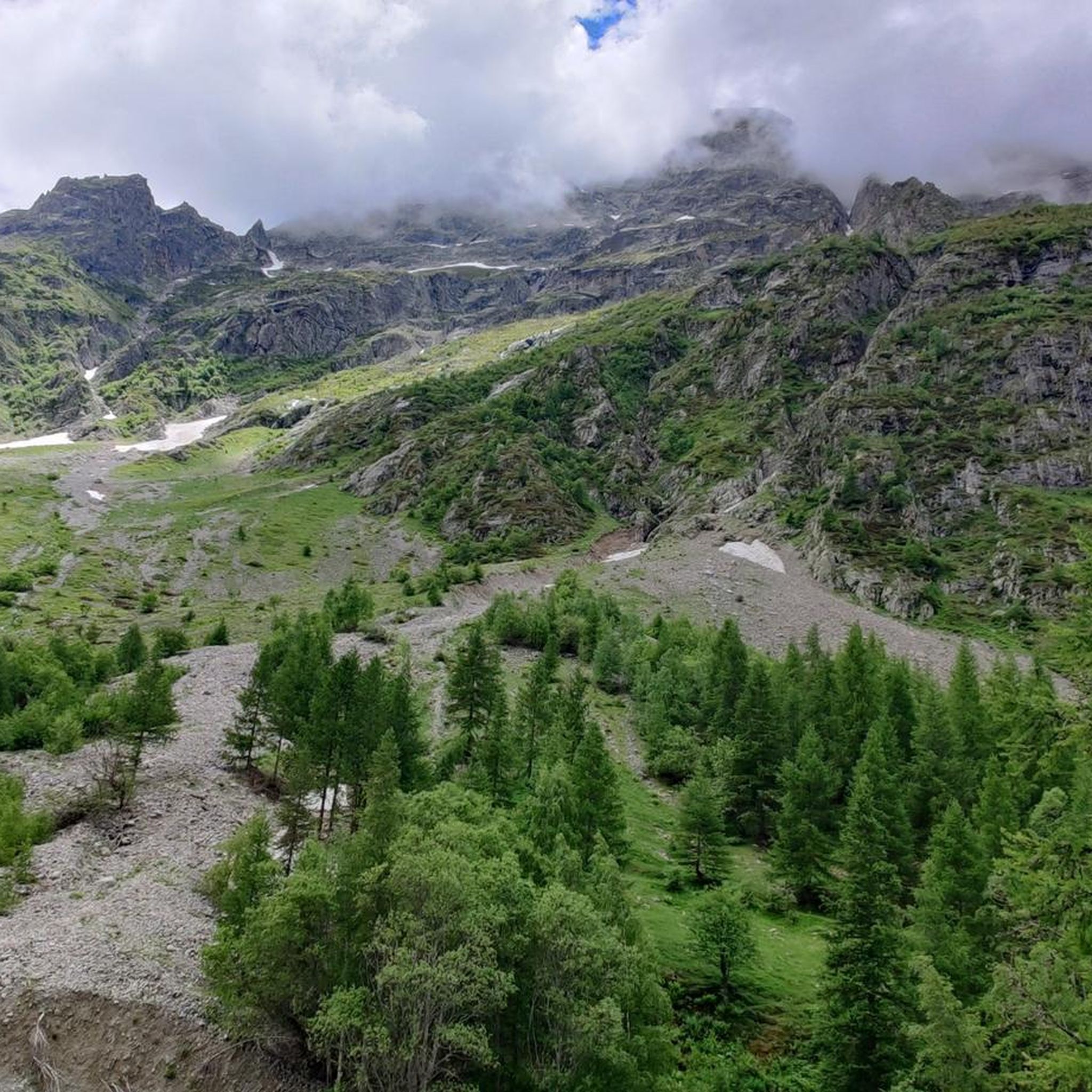
Mountain Hikes around Champoléon

Gravel biking around Champoléon
Other adventures around Champoléon


Tips from the Community

Just above the hut, there are several beautiful campsites hidden behind some rocks, offering panoramic views of the Sirac. You can camp here and eat at the hut.
1
0

A nice place for a well-deserved break...
0
0

The verges and meadows are rampant with vividly coloured alpine wild flowers. A feast for the eyes!
0
0
The Pic du Tourond towers over the valley of the Torrent du Tourond. Such a beautiful shape!
0
0
You'll see the Aiguille de Cedera several times during the hike and lots of other peaks too.
0
0
The path goes up steeply from Les Borels, but the height gain rewards with fabulous views.
0
0
Whilst the Cascade de La Pisse is the jewel in this walk - don't miss out on these other torrents!
0
0
Frequently Asked Questions
How many hiking trails are available in Champoléon?
Champoléon offers a wide selection of hiking trails, with over 20 routes to explore. These range from easy walks to very challenging mountain ascents, catering to various fitness levels.
What is the best time of year to go hiking in Champoléon?
The best time for hiking in Champoléon is typically from late spring through early autumn. During these months, the weather is generally favorable, and you can experience the larch forests and mountain meadows bursting with alpine wildflowers and rhododendrons. High-altitude routes are usually clear of snow, offering access to glacial lakes and panoramic views.
Are there any easy or family-friendly hikes in Champoléon?
Yes, Champoléon has a few easy trails suitable for families or those looking for a more relaxed walk. While most routes are moderate to difficult, there are at least 2 easy tours available. These trails often lead through picturesque river valleys or offer gentle ascents to scenic viewpoints.
Where can I find stunning views of the Écrins peaks?
For breathtaking panoramic views of the Écrins peaks, consider the Refuge du Tourond – View of the Écrins Peaks loop from Champoléon. This moderate 7.5 km path offers spectacular vistas from the Refuge du Tourond.
Are there any hikes that feature waterfalls in Champoléon?
Yes, the region around Champoléon is known for its beautiful waterfalls. The Pré de la Chaumette refuge hike passes by the Prelles Waterfall, and the Gioberney refuge area also offers views of a notable waterfall. You can also explore the Waterfalls – Lake Crupillouse loop from Les Baumes, a challenging route that highlights several cascades.
Can I find circular hiking routes in Champoléon?
Many of Champoléon's trails are designed as loops, allowing you to start and end at the same point. Examples include the Refuge du Tourond – View of the Écrins Peaks loop from Champoléon and the more challenging Pic du Tourond – Refuge du Tourond loop from Champoléon. The Lake Vallonpierre – Vallonpierre Refuge loop from Puy de la Chaumette is another excellent circular option.
What kind of natural features can I expect to see on hikes in Champoléon?
Champoléon's hikes showcase a diverse range of natural beauty. You'll encounter majestic alpine scenery, prominent peaks like the Pic du Tourond, pristine high-altitude glacial lakes such as Lac des Sirènes and Lac du Lauzon, and numerous waterfalls. The trails often traverse larch forests and mountain meadows, where you might spot wildlife like marmots and chamois.
Are there any mountain refuges along the hiking trails?
Yes, Champoléon features several mountain refuges that serve as excellent resting points and offer stunning views. Notable refuges include the Pré de la Chaumette refuge and the Gioberney refuge. These can be strategic stops on longer treks, and some even offer local culinary specialties.
What do other hikers say about the trails in Champoléon?
The hiking trails in Champoléon are highly regarded by the komoot community, with an average rating of 4.7 stars from over 400 reviews. Hikers often praise the dramatic alpine scenery, the variety of trails, and the opportunity to experience the pristine nature of the Champsaur Massif and the bordering Écrins National Park.
Are dogs allowed on the hiking trails in Champoléon?
Champoléon borders the Écrins National Park, which has specific regulations regarding dogs. Generally, dogs are not permitted, even on a leash, within the core zone of the National Park to protect wildlife. It's advisable to check specific trail regulations before bringing your dog, as rules can vary in the peripheral zones or on trails outside the park boundaries.
What are some challenging hikes in Champoléon for experienced hikers?
For experienced hikers seeking a challenge, Champoléon offers several difficult routes. The Pic du Tourond – Refuge du Tourond loop from Champoléon is an 8.8-mile trail with significant elevation gain. Another demanding option is the Lake Vallonpierre – Vallonpierre Refuge loop from Puy de la Chaumette, covering over 22 km with substantial ascent.
Are there any high-altitude lakes I can hike to?
Absolutely. Champoléon is home to several pristine high-altitude lakes. You can hike to Lac des Sirènes, located at 2,396 meters, accessible from the Merlette farmhouse. Lac du Lauzon is another beautiful glacial lake. The The heart of the Monde des six Lacs route is specifically designed to lead you through a landscape dotted with these stunning high mountain lakes.
Most popular routes around Champoléon
Most popular attractions around Champoléon

Get inspired with the komoot mobile app


Explore more
Browse the best Hikes in other regions.
