The best mountain hikes around Champoléon
4.9
(13)
76
hikers
12
hikes
Mountaineering routes around Champoléon are located in the Hautes-Alpes department of France, providing access to the Écrins National Park. The region features towering peaks, many surpassing 3,000 meters, alongside deep glacial valleys and diverse alpine landscapes. Key natural features include majestic summits like Les Rouies and Olan, as well as picturesque alpine lakes such as Lac du Lauzon.
Best mountaineering routes around Champoléon
- The most popular mountaineering route is Glacier des Rouies – Refuge du Pigeonnier loop from Réserve naturelle…
Last updated: August 17, 2026
5.0
(2)
16
hikers
17.4km
08:47
1,510m
1,510m
Hard mountaineering route. Very good fitness required. Sure-footedness, sturdy shoes and alpine experience required.
5.0
(1)
12
hikers
Hard mountaineering route. Very good fitness required. Mostly accessible paths. Sure-footedness required.

Sign up for free
12
hikers
Hard mountaineering route. Very good fitness required. Sure-footedness, sturdy shoes and alpine experience required.
5.0
(3)
8
hikers
8.36km
03:14
390m
390m
Moderate mountaineering route. Good fitness required. Mostly accessible paths. Sure-footedness required.
5.0
(4)
6
hikers
Hard mountaineering route. Very good fitness required. Mostly accessible paths. Sure-footedness required.
Get access to more routes and recommendations from other explorers.
Sign up for free
Already have an account?
Our route recommendations are based on thousands of hikes, rides, and runs completed by other people on komoot.
Start today with a free account
Your next adventure awaits.
Login or Signup
Popular around Champoléon

8 hikes in the Hautes-Alpes — mountain passes and high-altitude lakes
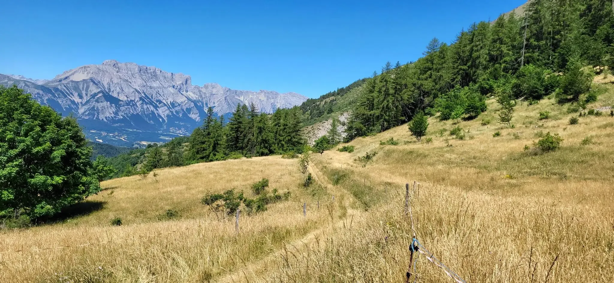
Bocages, forests and high peaks — The Tour of Champsaur

Écrins, Belledonne and Vercors – HexaTrek, Hautes-Alpes
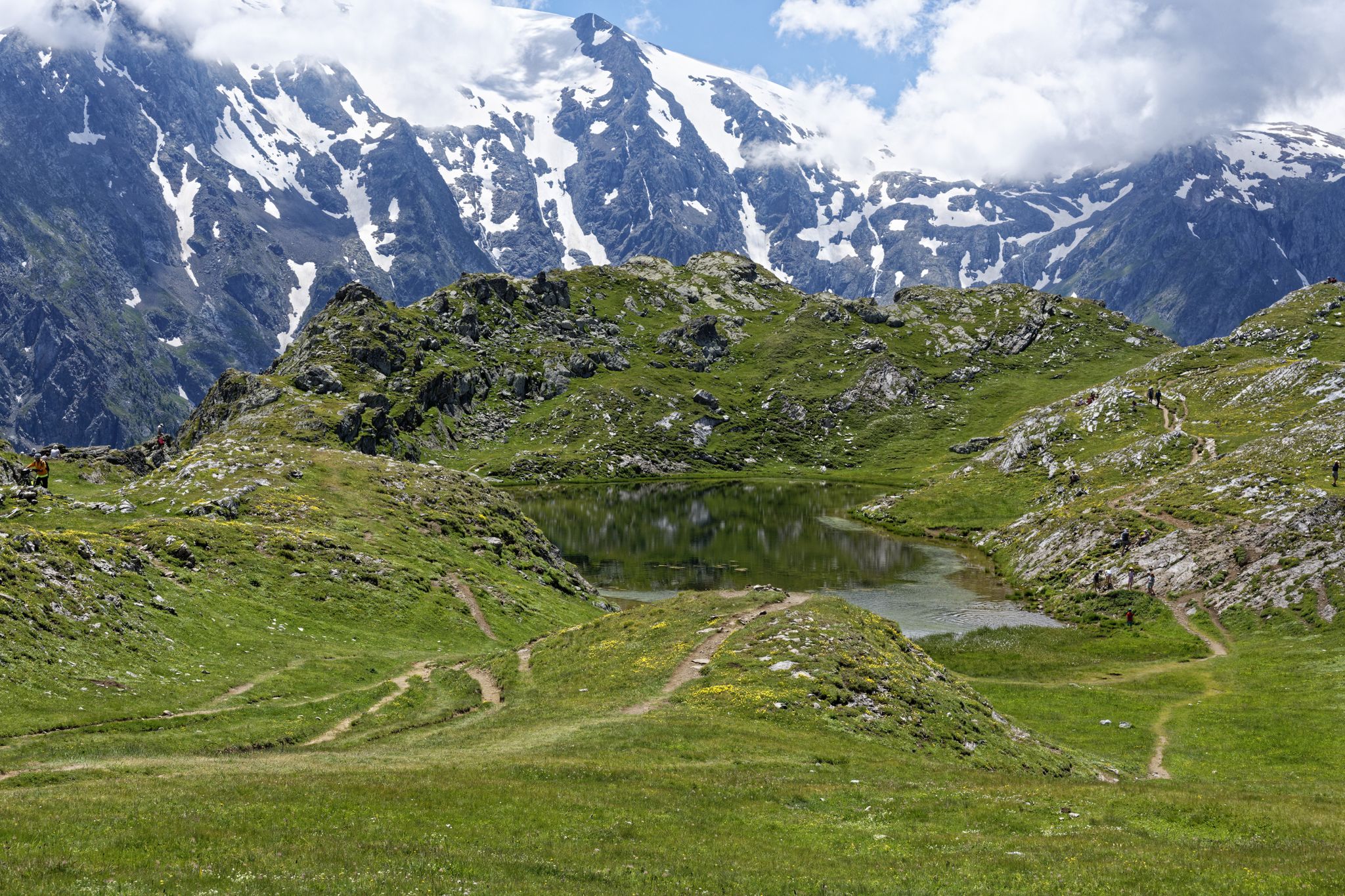
Exploring the Oisans and the Écrins in France — the GR 54
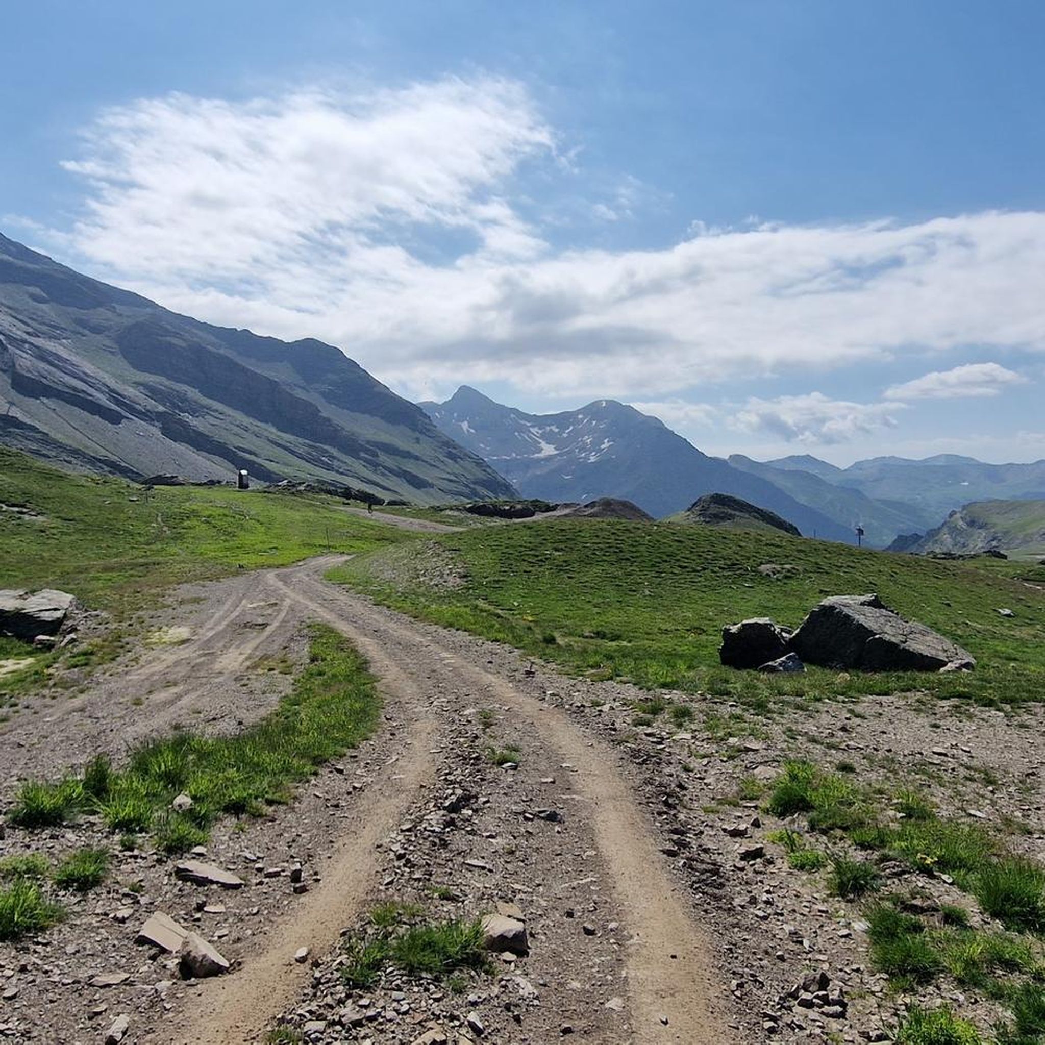
Hiking around Champoléon
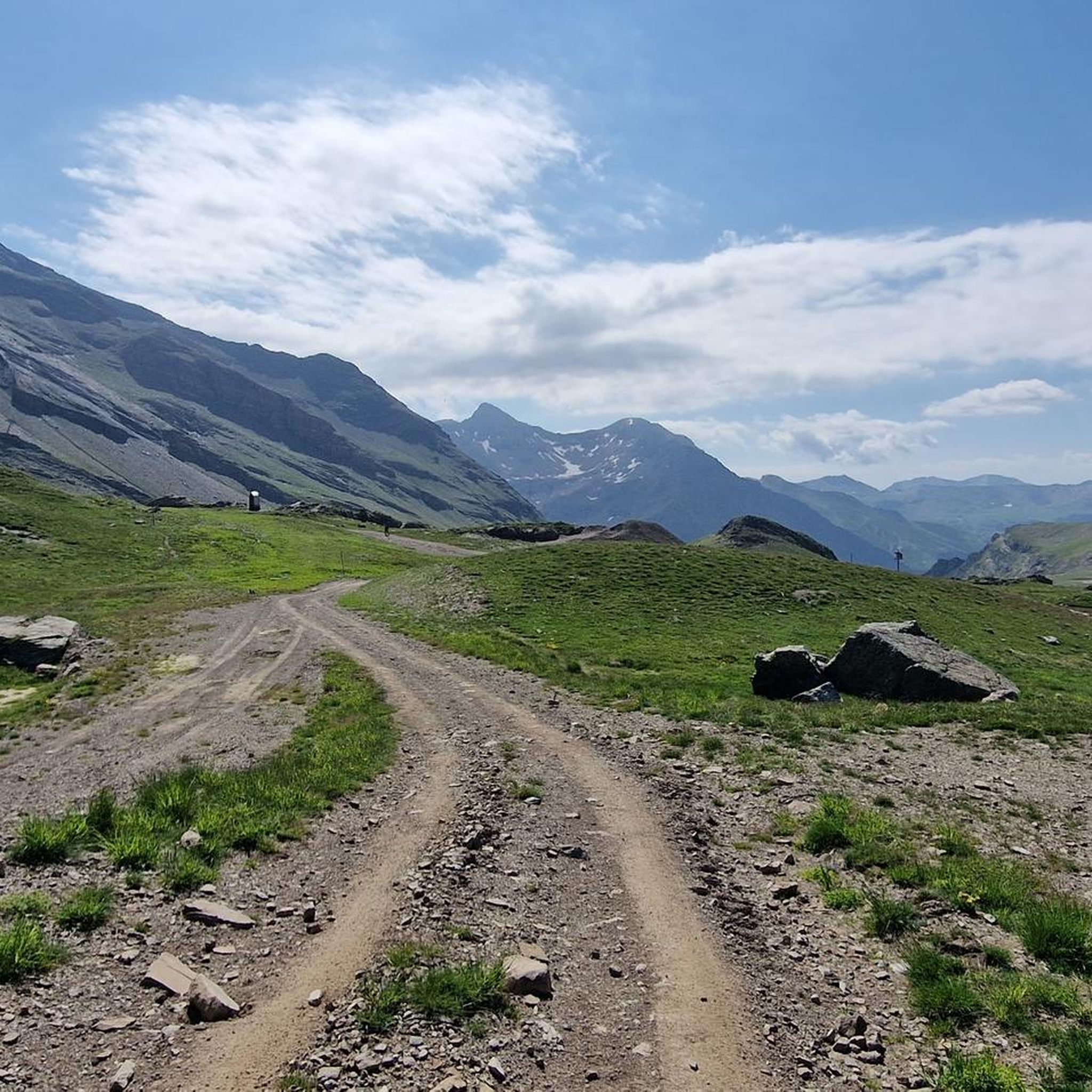
MTB Trails around Champoléon
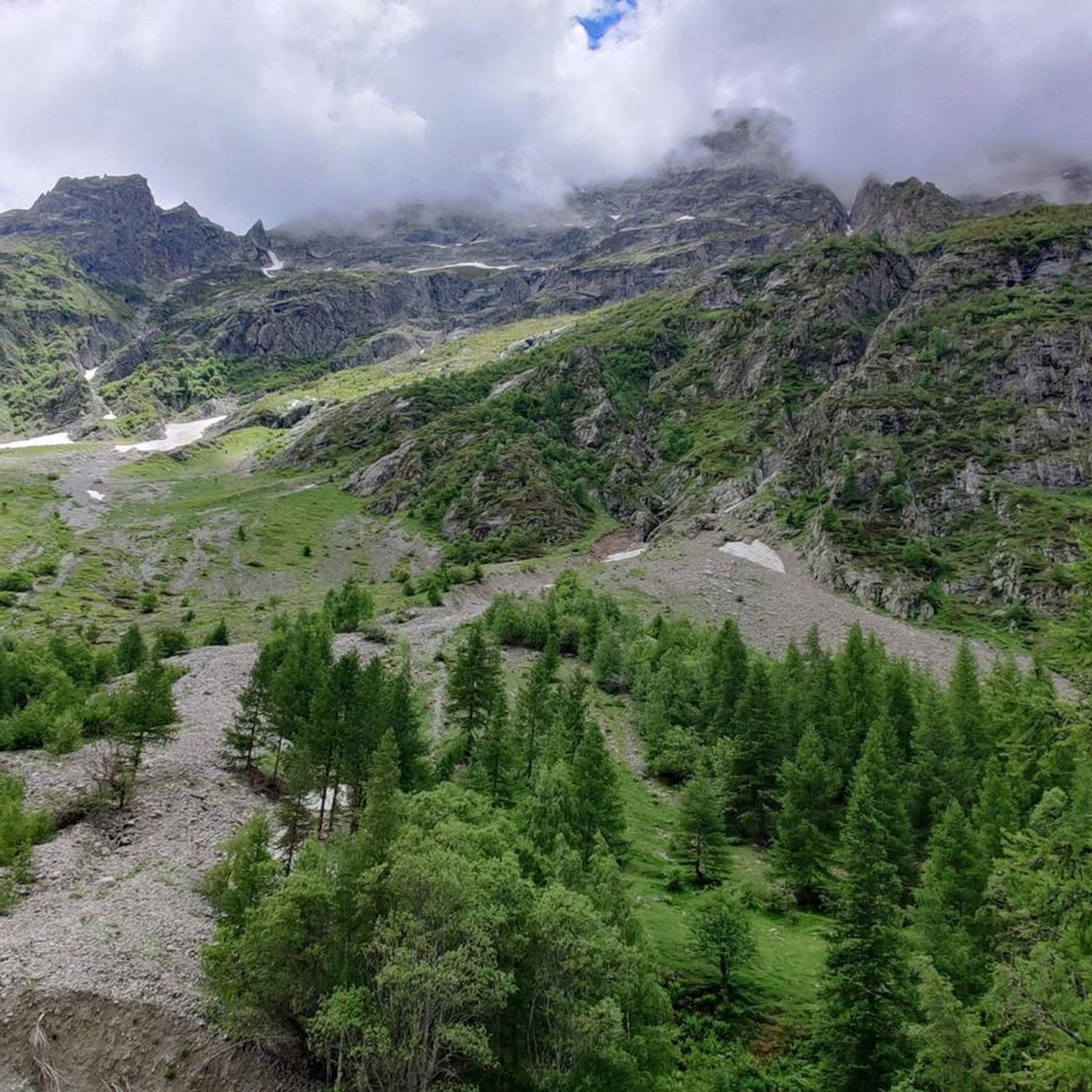
Cycling around Champoléon
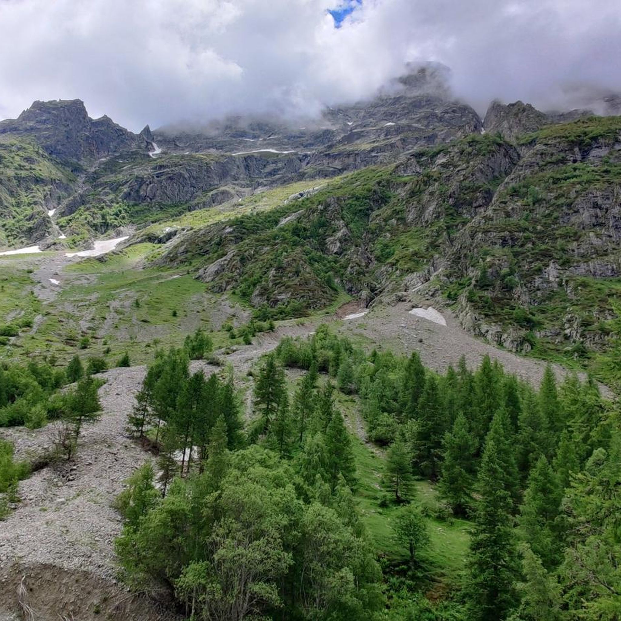
Road Cycling Routes around Champoléon
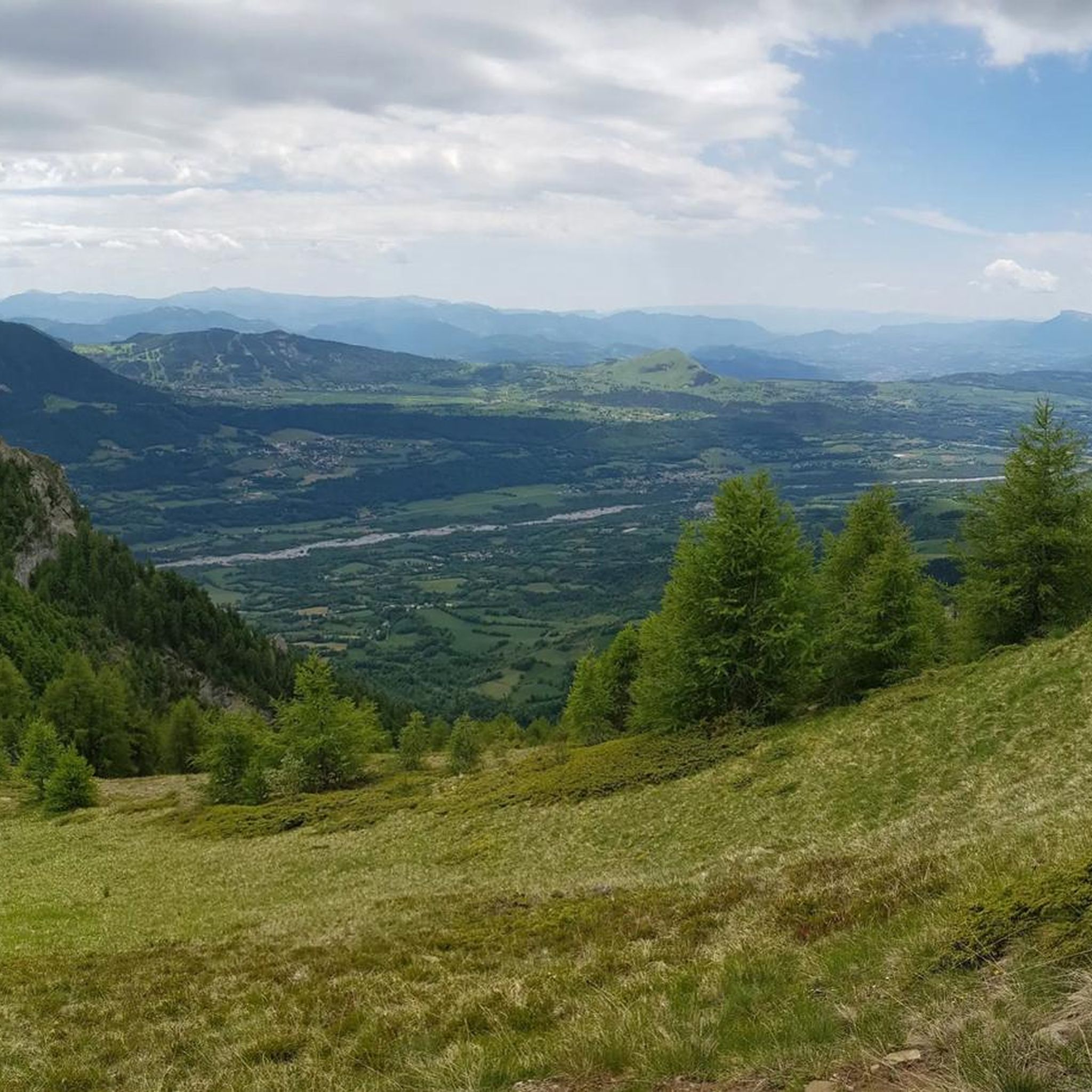
Running Trails around Champoléon

Gravel biking around Champoléon
Other adventures around Champoléon


Tips from the Community

Just above the hut, there are several beautiful campsites hidden behind some rocks, offering panoramic views of the Sirac. You can camp here and eat at the hut.
1
0

A nice place for a well-deserved break...
0
0


Great spot, really friendly, very helpful staff. BUT - call ahead to make a reservation if you want to eat their food (though I saw people using tables, with their own food). AND - take cash if you've planned to eat there (they don't take cards).
0
0

From the Pigeonnier refuge 2423m, follow the path towards the Rouies glacier. Cross the glacier to the Col des Rouies, then climb the ridge to the summit. Difficulty: Slightly Difficult (PD). Glacier safety equipment required. Rise time: 4 to 5 hours. Enjoy a spectacular view of the Écrins massif, with panoramas of the Barre des Écrins, the Pelvoux and the Meije. On a clear day you can even see Mont Blanc. Les Rouies is an accessible climb offering an unforgettable alpine experience.
0
0

Culminating at 2,354 meters, the Col de la Pisse offers beautiful panoramas of the Écrins massif.
0
0
Frequently Asked Questions
How many mountaineering routes are available around Champoléon?
There are over 14 mountaineering routes around Champoléon, offering a wide range of experiences from moderate ascents to challenging high-alpine expeditions. The region is highly rated by the komoot community, with an average score of 4.9 stars.
What kind of terrain can I expect on mountaineering routes in Champoléon?
Mountaineering routes in Champoléon traverse diverse alpine terrain, from deep glacial valleys and high mountain pastures to towering peaks exceeding 3,000 meters. You'll encounter larch forests, clear mountain lakes, and dramatic rock formations characteristic of the Écrins National Park.
Are there any circular mountaineering routes in Champoléon?
Yes, several routes offer circular paths. For example, the challenging Vieux Chaillol loop from Saint-Michel-de-Chaillol provides expansive views of the surrounding peaks. Another option is the moderate Lac du Lauzon loop from Réserve naturelle de la haute vallée de la Séveraisse, leading through beautiful alpine scenery to a picturesque mountain lake.
What are some notable natural landmarks or attractions I can see along the routes?
The region is rich in natural beauty. You can visit the stunning Lac des Sirènes, or explore the impressive geological formations of the Giant's Kettle near Champoléon. Many routes also offer views of majestic peaks like Vieux Chaillol and the Valgaudemar valley's famous waterfalls, such as the 'Voile de la Mariée'.
Are there any routes that pass by mountain refuges?
Absolutely. The Glacier des Rouies – Refuge du Pigeonnier loop from Réserve naturelle de la haute vallée de la Séveraisse is a challenging route that leads directly to the Refuge du Pigeonnier. Another option is the Refuge du Tourond loop from Champoléon, which takes you to the Refuge du Tourond. These refuges provide essential hospitality and are great stopping points.
What is the best time of year for mountaineering in Champoléon?
The prime season for mountaineering in Champoléon typically runs from late spring to early autumn, when trails are generally clear of snow and weather conditions are more stable. However, the region offers diverse activities year-round, with winter transforming it into a haven for ski touring and snowshoeing.
Are there any family-friendly mountaineering options in Champoléon?
While many routes are challenging, there are options suitable for families with some hiking experience. The moderate Lac du Lauzon loop is a good example, offering beautiful alpine scenery without extreme difficulty. Always check the specific route details for elevation gain and duration to ensure it matches your family's ability.
What are the difficulty levels of mountaineering routes in Champoléon?
The routes around Champoléon cater to various skill levels. You'll find a mix of moderate ascents, such as the Refuge du Tourond loop, and more difficult high-alpine expeditions like the Lac de Vallonpierre loop. It's essential to choose a route that matches your experience and fitness level.
What do other mountaineers enjoy most about the routes in Champoléon?
The komoot community highly rates the mountaineering routes in Champoléon, with an average score of 4.9 stars. Reviewers often praise the region's pristine natural environment, the dramatic landscapes of the Écrins National Park, and the breathtaking views of towering peaks and clear mountain lakes. The sense of wild authenticity in valleys like Valgaudemar is also frequently highlighted.
Are there opportunities to see wildlife while mountaineering?
Yes, Champoléon, being a gateway to the Écrins National Park, is home to diverse wildlife. While mountaineering, you might spot chamois, ibex, marmots, and various bird species. Early mornings and late afternoons are often the best times for wildlife viewing.
Are there any routes that feature lakes or water reflections?
Absolutely. The Lac du Lauzon loop is a prime example, leading to a beautiful mountain lake where the majestic Sirac peak is often reflected. Other picturesque alpine lakes in the region include Lac de Cédéra and Lac des Sirènes, providing stunning photo opportunities.
What kind of gear should I bring for mountaineering in Champoléon?
Given the varied terrain and potential for high-alpine conditions, it's crucial to be well-prepared. Essential gear includes sturdy mountaineering boots, appropriate layers of clothing, rain gear, navigation tools (map, compass, or GPS), sufficient water and food, sun protection, and a first-aid kit. For more challenging routes, consider bringing crampons, an ice axe, and a helmet, especially if glaciers or technical sections are involved.
Most popular routes around Champoléon
Most popular attractions around Champoléon

Get inspired with the komoot mobile app


Explore more
Browse the best Mountain Hikes & Routes in other regions.
