The best traffic-free bike rides around Saint-Étienne-De-Cuines
4.5
(436)
28,562
riders
13
rides
No traffic road cycling routes around Saint-Étienne-De-Cuines are situated in the heart of the French Alps, offering a challenging yet picturesque environment. The region is characterized by majestic mountains, deep valleys like the Maurienne, and numerous alpine passes. Elevations range from 485m to 2800m, providing varied terrain for road cyclists. This setting allows for ascents through forests and alpine pastures, with many routes featuring well-paved surfaces.
Best no traffic road cycling routes around Saint-Étienne-De-Cuines
- The most popular no traffic road…
Last updated: July 3, 2026

4.3
(10)
514
riders
37.7km
02:24
1,060m
1,060m
Hard road ride. Very good fitness required. Mostly well-paved surfaces and easy to ride.
4.4
(11)
634
riders
37.3km
02:36
1,270m
1,270m
Hard road ride. Very good fitness required. Mostly well-paved surfaces and easy to ride.

Sign up for free
4.8
(5)
583
riders
Hard road ride. Very good fitness required. Mostly well-paved surfaces and easy to ride.
5.0
(7)
202
riders
14.4km
00:54
430m
430m
Moderate road ride. Good fitness required. Mostly well-paved surfaces and easy to ride.
95
riders
Easy road ride. Great for any fitness level. Mostly well-paved surfaces and easy to ride.
Get access to more routes and recommendations from other explorers.
Sign up for free
Already have an account?
Our route recommendations are based on thousands of hikes, rides, and runs completed by other people on komoot.
Start today with a free account
Your next adventure awaits.
Login or Signup
Popular around Saint-Étienne-De-Cuines
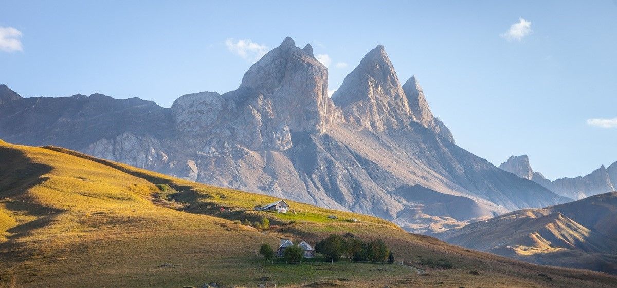
France’s breathtaking Alpine world — road bike routes around Maurienne
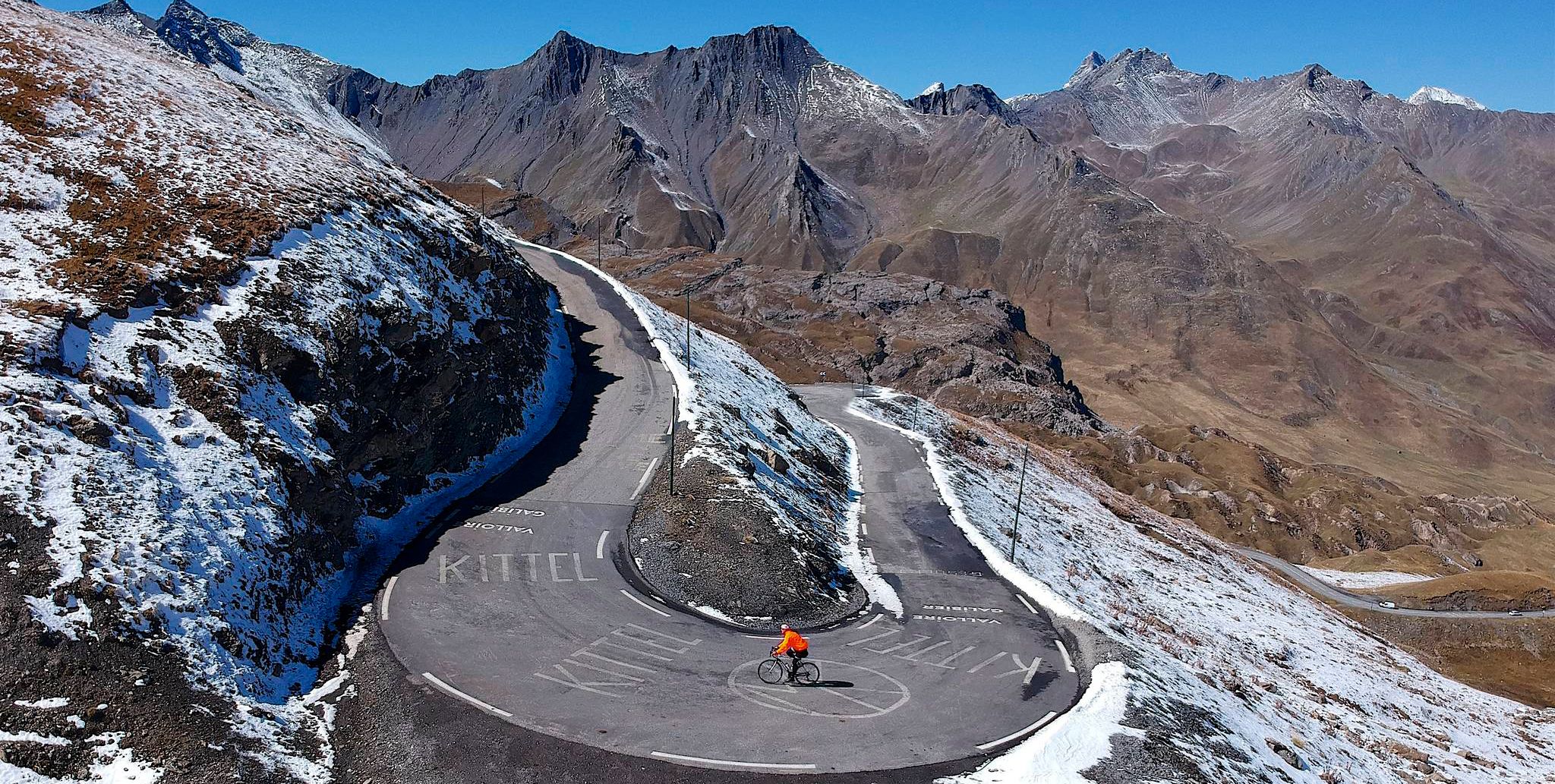
Tracing the Tour de France – spectacular passes in the Auvergne-Rhône-Alps
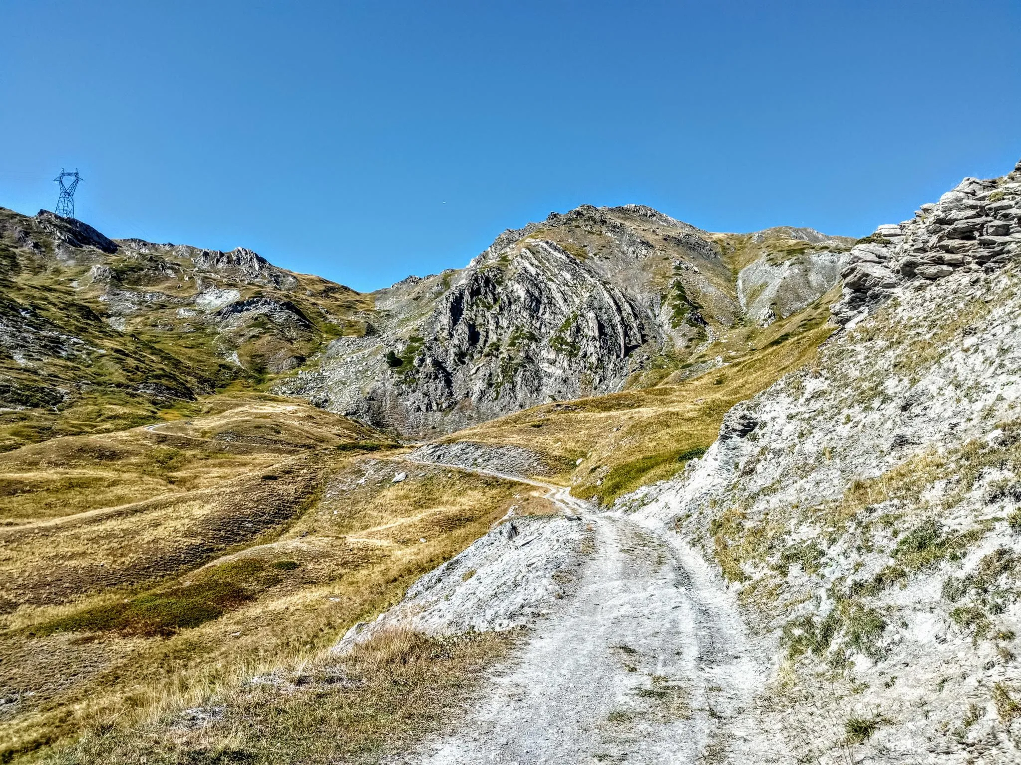
Between valleys and peaks – Ultra Gravel Tour des Alpes
Traffic-free bike rides around Saint-Étienne-De-Cuines

Traffic-free bike rides around Saint-Étienne-De-Cuines
Other adventures around Saint-Étienne-De-Cuines


Tips from the Community

Attention (!). As of June 2026, almost the entire route (except for the curves themselves) is gravel! It's small gravel and can be ridden with a road bike, but anyone who doesn't want to risk anything shouldn't go this way. Definitely don't ride downhill here.
0
0

Painted utility box, it would be nice if the drivers also had respect.
2
0
Nice little church, opposite the town hall and a fountain.
0
0
Narrow road by the rock, great views.
2
0
Narrow road by the rock, great views.
2
0
Orderly ascent, nice pass with chapel and bar/restaurant. Some water points, but not many.
1
0
Nice ascent D80, little traffic, partially newly gravelled road. Unfortunately, the nice signs about the pass regarding km and gradient are missing.
2
0
Frequently Asked Questions
How many no traffic road cycling routes are available around Saint-Étienne-De-Cuines?
There are over 15 dedicated no traffic road cycling routes around Saint-Étienne-De-Cuines, offering a variety of challenges and scenic beauty for cyclists.
Are there any easy no traffic road cycling routes suitable for beginners or families?
Yes, there are a couple of easier routes. For a relatively gentle introduction, consider the Lacets de Montvernier – Montvernier Hairpins loop from Pontamafrey-Montpascal. This route is rated easy and offers a taste of the famous hairpins without extreme difficulty.
What are some challenging no traffic road cycling routes for experienced riders?
For experienced cyclists seeking a challenge, the region offers several demanding routes. The Tour des Albiez – Itinéraires pour vélo de route en Maurienne is a difficult route with over 1000m of elevation gain. Another demanding option is the Col du Mollard – The home of Joseph Opinel... loop from Saint-Jean-de-Maurienne - Vallée de l'Arvan, which features significant climbing.
What kind of views and landmarks can I expect along these routes?
The routes offer breathtaking panoramas of the French Alps, including views of the Belledonne massif and glimpses of the Mont Blanc massif. You'll encounter iconic cycling landmarks like the Montvernier Hairpins and the Col du Chaussy. Many routes also provide great views over the needles of arves.
Are there any loop routes for no traffic road cycling in the area?
Yes, several routes are designed as loops. The Montvernier Hairpins – Col de Chaussy loop from Saint-Jean-de-Maurienne - Vallée de l'Arvan and the Montvernier – Montvernier Hairpins loop from Pontamafrey-Montpascal are excellent examples, allowing you to start and finish in the same location.
What is the best time of year for no traffic road cycling in Saint-Étienne-De-Cuines?
The best time for road cycling in this alpine region is typically from late spring to early autumn (May to October). During these months, the weather is generally more stable, and the higher mountain passes, such as Col du Glandon and Col de la Croix de Fer, are usually clear of snow and open.
Where can I find parking for these no traffic road cycling routes?
Saint-Étienne-De-Cuines and nearby towns like Saint-Jean-de-Maurienne or Pontamafrey-Montpascal, which serve as starting points for many routes, offer various public parking options. It's advisable to check local signage upon arrival for specific parking regulations and availability.
What do other road cyclists enjoy most about cycling in Saint-Étienne-De-Cuines?
The area is highly rated by the komoot community, with an average score of 4.7 stars from over 260 reviews. Cyclists often praise the challenging climbs, the spectacular alpine scenery, and the opportunity to tackle legendary Tour de France passes in a relatively traffic-free environment.
Are there any specific passes or climbs known for their no traffic conditions?
While many routes in the region offer periods of low traffic, some sections or specific passes are particularly known for their peaceful ambiance. The Col du Chaussy, especially its famous Lacets de Montvernier, offers a unique cycling experience with stunning views and generally lower traffic volumes compared to major arteries.
What is the typical distance and elevation gain for routes in this area?
The routes vary significantly. You can find shorter, moderate rides like the Montvernier – Montvernier Hairpins loop at around 11.6 km with 340m elevation gain. More challenging routes, such as the Montvernier Hairpins – Col de Chaussy loop, can be around 37 km with over 1200m of climbing, catering to a wide range of fitness levels.
Can I find cafes or places to rest along the no traffic road cycling routes?
While the routes themselves prioritize low traffic, many pass through or near charming alpine villages where you can find cafes, bakeries, and small shops to refuel and rest. Planning your route with komoot allows you to identify such points of interest along your chosen path.
Most popular routes around Saint-Étienne-De-Cuines
Most popular attractions around Saint-Étienne-De-Cuines

Get inspired with the komoot mobile app


Explore more
Browse the best Road cycling routes in other regions.
