The best mountain hikes around Saint-Étienne-De-Cuines
4.5
(4)
43
hikers
5
hikes
Mountaineering routes around Saint-Étienne-De-Cuines traverse the varied terrain of the French Alps, characterized by significant elevation changes, alpine lakes, and high mountain passes. The region features a mix of open ridges, forested slopes, and rocky summits, offering diverse challenges for mountaineers. Routes often lead to panoramic viewpoints over the surrounding valleys and peaks.
Best mountaineering routes around Saint-Étienne-De-Cuines
- The most popular mountaineering route is Lac du Collet – Les Plagnes loop from Le Collet d'Allevard, a 5.2 miles (8.4…
Last updated: July 6, 2026
17
hikers
8.01km
03:09
590m
590m
Moderate mountaineering route. Good fitness required. Mostly accessible paths. Sure-footedness required.
4.0
(3)
16
hikers
11.5km
05:39
930m
930m
Hard mountaineering route. Very good fitness required. Mostly accessible paths. Sure-footedness required.

Sign up for free
5.0
(1)
7
hikers
14.4km
06:23
1,180m
1,180m
Hard mountaineering route. Very good fitness required. Mostly accessible paths. Sure-footedness required.
1
hikers
9.01km
03:11
500m
500m
Moderate mountaineering route. Good fitness required. Easily-accessible paths. Suitable for all skill levels.
1
hikers
2.82km
00:56
140m
130m
Easy mountaineering route. Great for any fitness level. Easily-accessible paths. Suitable for all skill levels.
Our route recommendations are based on thousands of hikes, rides, and runs completed by other people on komoot.
Start today with a free account
Your next adventure awaits.
Login or Signup
Popular around Saint-Étienne-De-Cuines
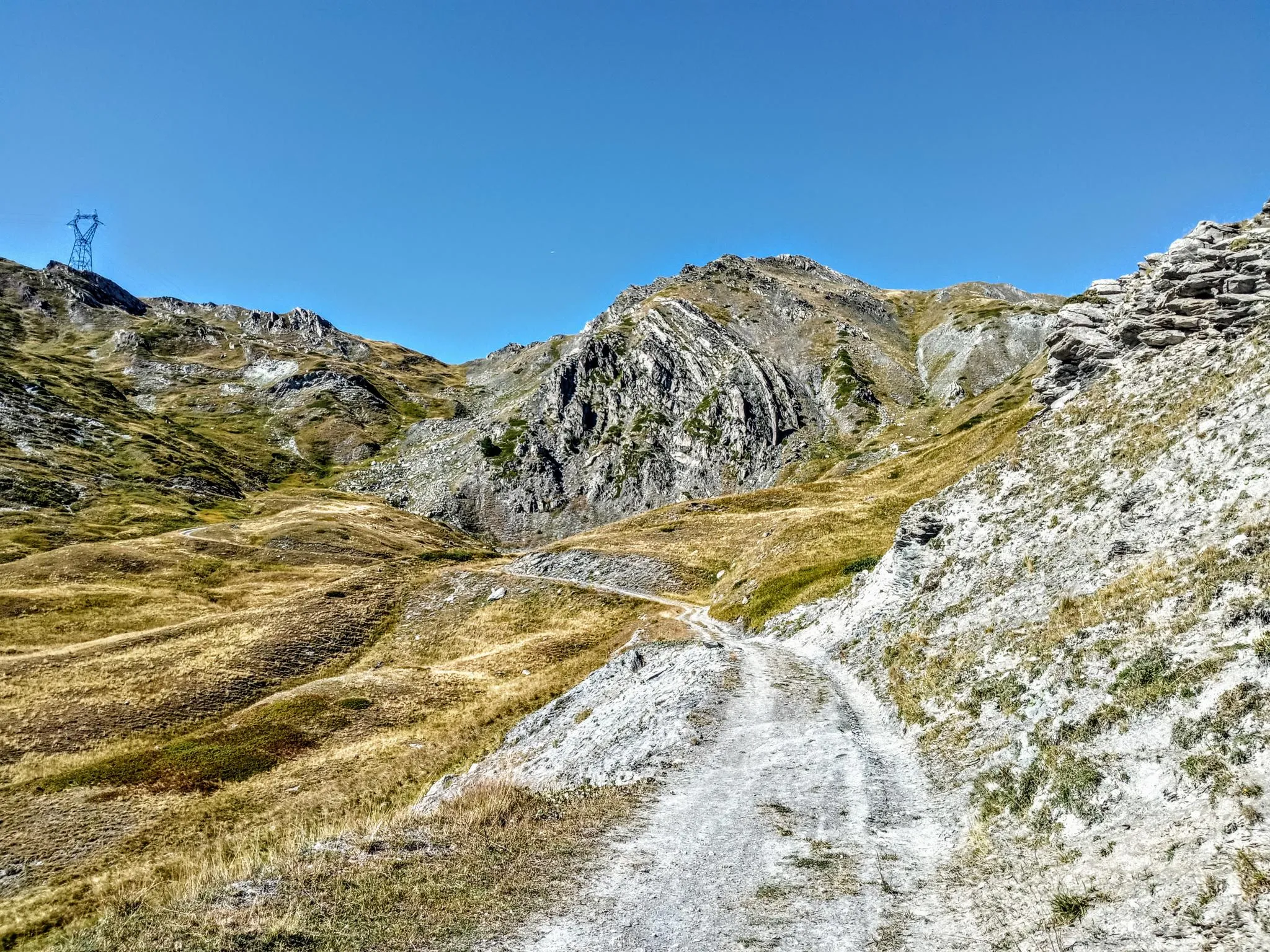
Between valleys and peaks – Ultra Gravel Tour des Alpes
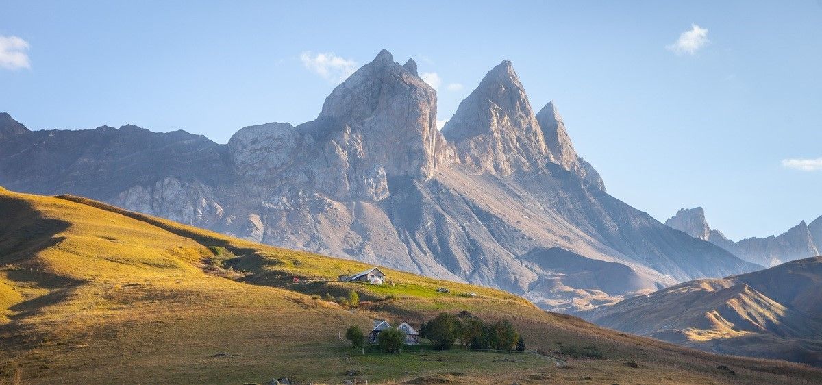
France’s breathtaking Alpine world — road bike routes around Maurienne
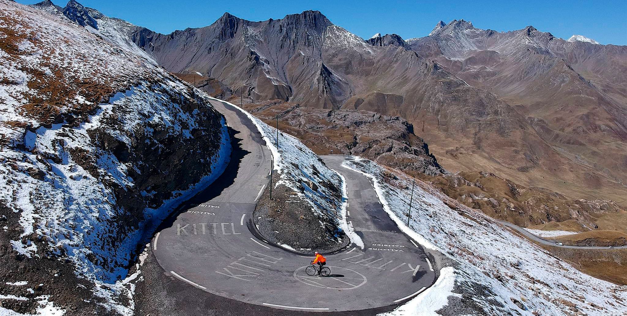
Tracing the Tour de France – spectacular passes in the Auvergne-Rhône-Alps
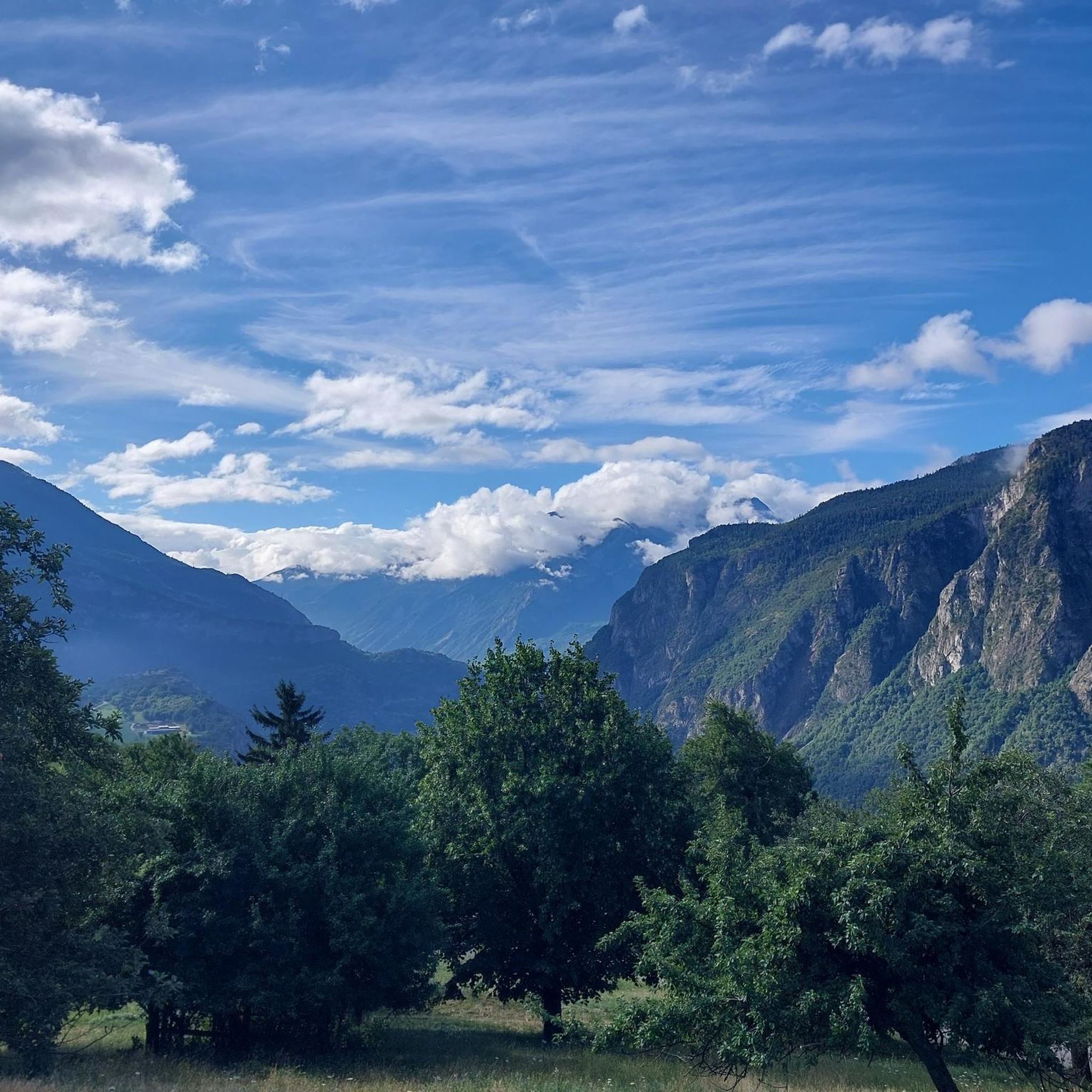
Road Cycling Routes around Saint-Étienne-De-Cuines
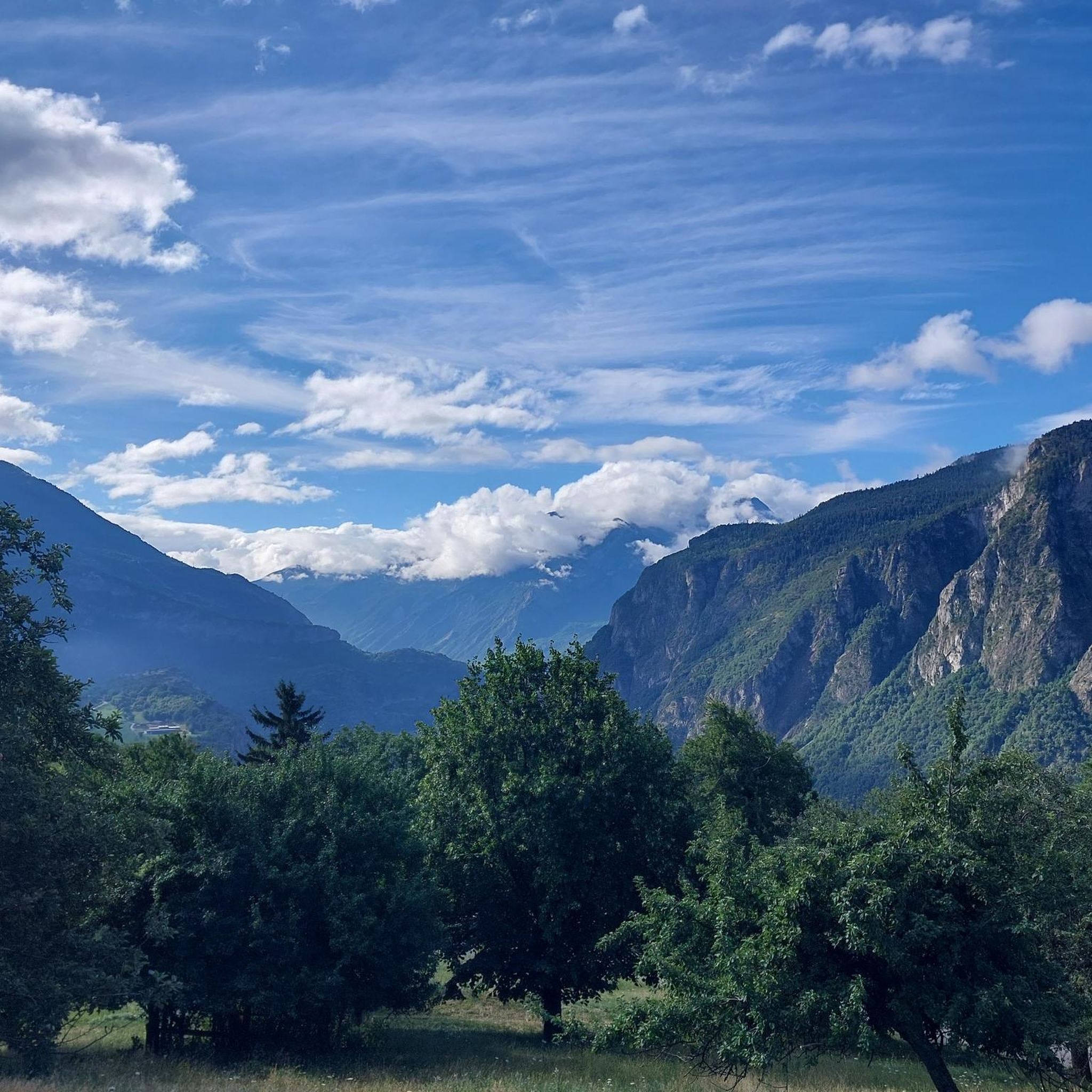
Cycling around Saint-Étienne-De-Cuines
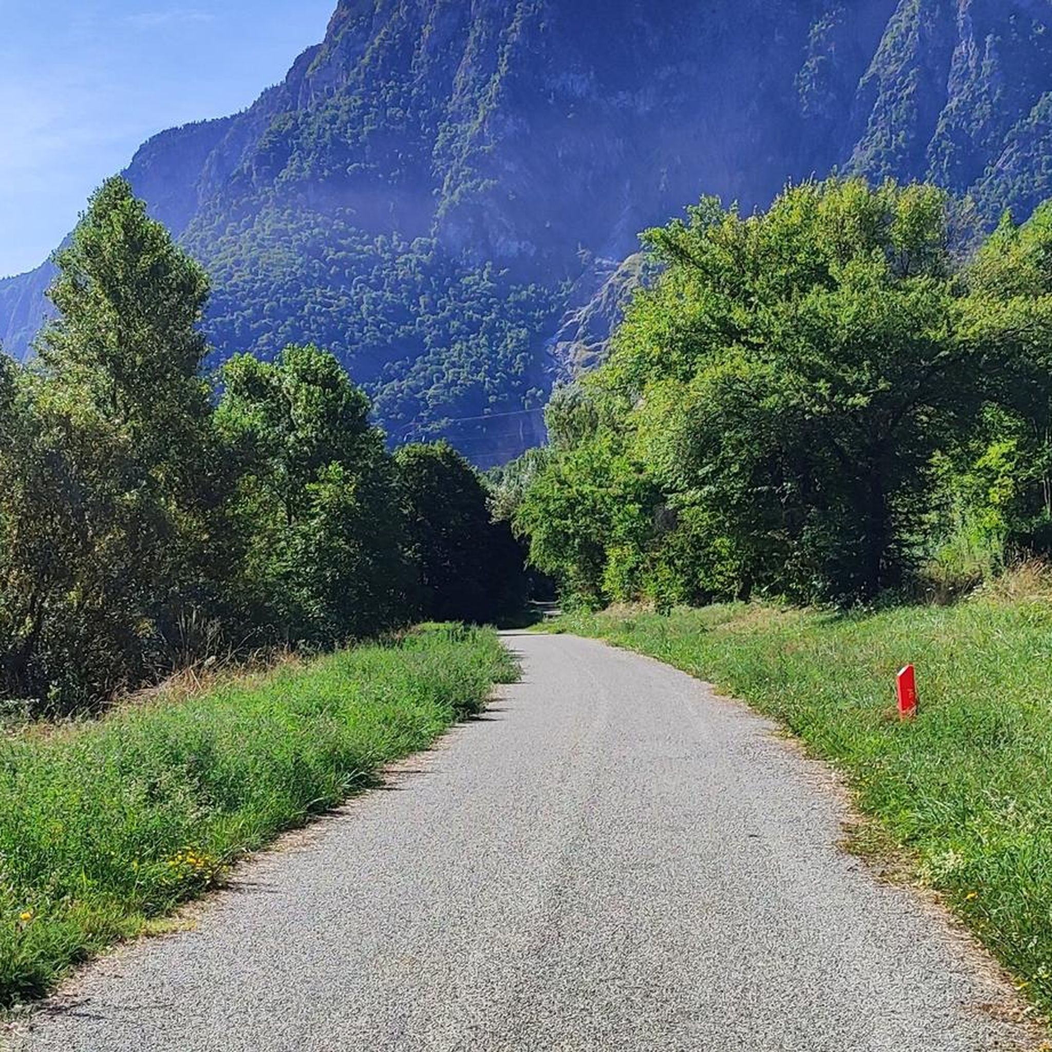
MTB Trails around Saint-Étienne-De-Cuines
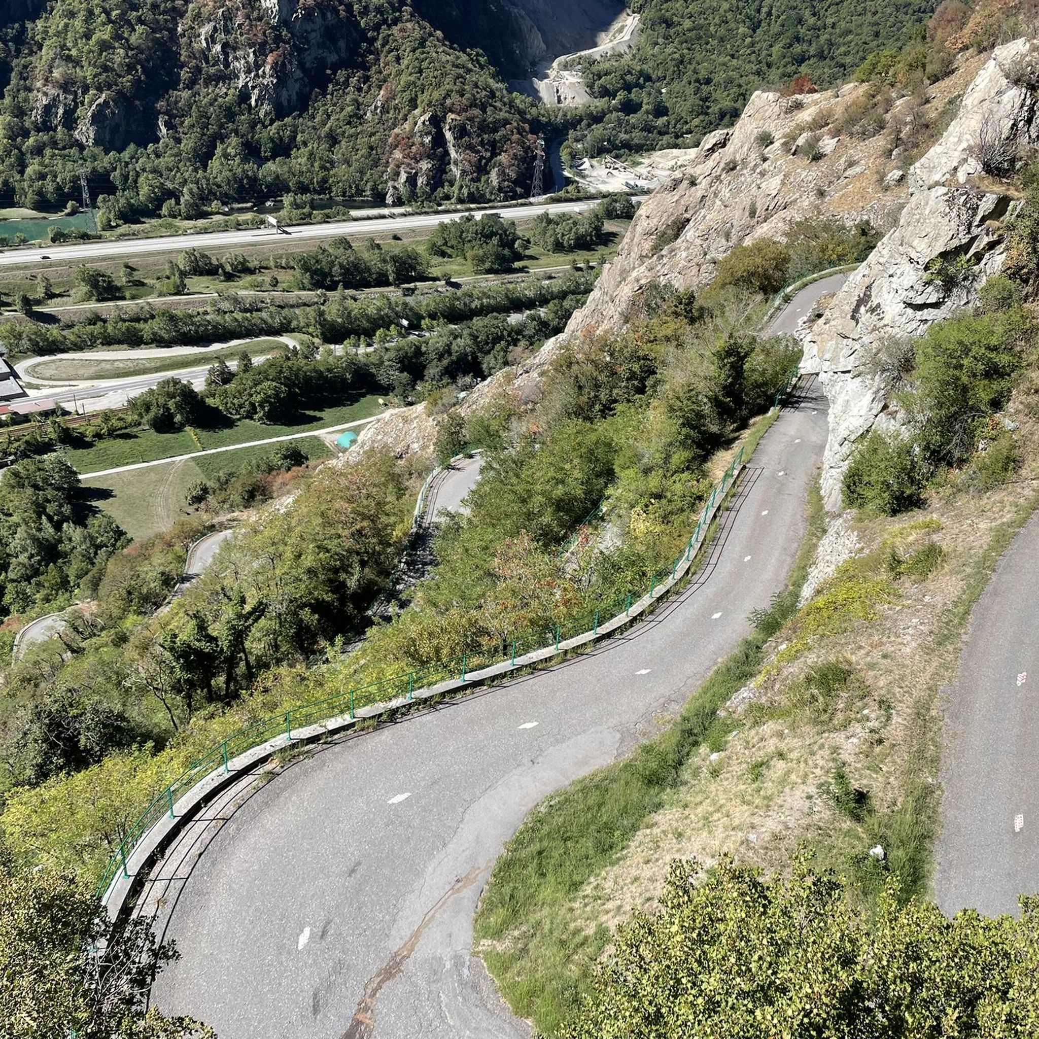
Running Trails around Saint-Étienne-De-Cuines
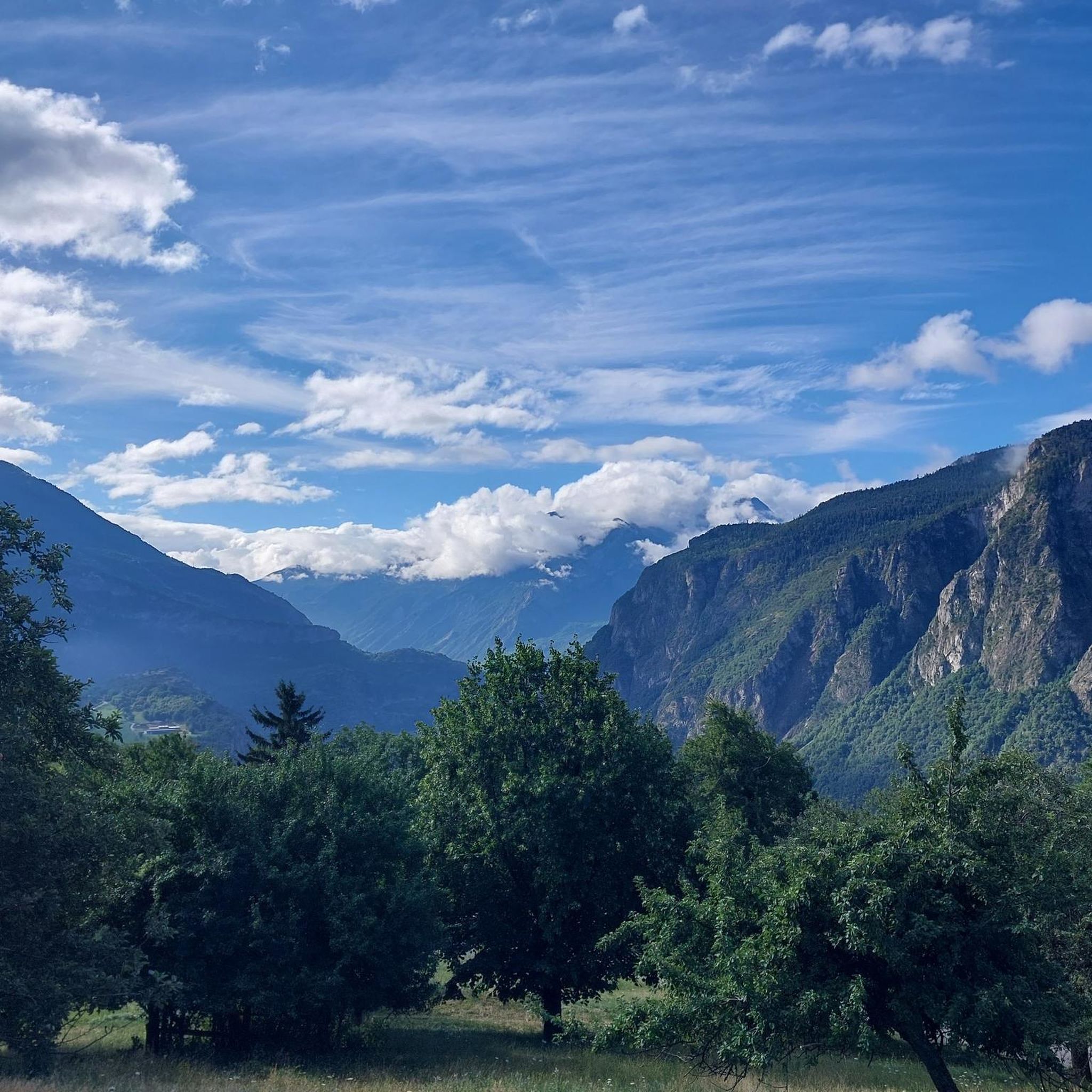
Hiking around Saint-Étienne-De-Cuines

Gravel biking around Saint-Étienne-De-Cuines
Other adventures around Saint-Étienne-De-Cuines


Tips from the Community

The climb is easy and worth the effort. Magnificent view. There's a picnic table...
0
0

Very charming lake that you will like no matter the weather 👀👍🏾
0
0

And also and especially in good weather on Mont Blanc my dear Chloé 🤪
0
0

Incredible views of the mountains and the lake from the ridge just below the top of the Cheval Noir.
0
0
At 2,832 meters, this summit, still little known, offers a 360° panorama at the top. Incredible views.
0
0
At 2,139 meters, this lake is located near a rocky outcrop. It turns blue-black after the avalanches melt.
0
0
A small lake at 2,137 meters. The color of the water is amazing!
0
0

Bring walking sticks. Plenty of water. Good shoes.
0
0
Frequently Asked Questions
How many mountaineering routes are available around Saint-Étienne-De-Cuines?
There are several mountaineering routes in the Saint-Étienne-De-Cuines area, offering diverse challenges across the French Alps. You'll find options ranging from moderate ascents to more demanding high-altitude expeditions.
What is the best time of year for mountaineering in Saint-Étienne-De-Cuines?
The prime season for mountaineering in Saint-Étienne-De-Cuines typically runs from late spring through early autumn (June to September) when trails are generally clear of snow and weather conditions are more stable. However, some routes might be accessible earlier or later depending on elevation and snowmelt.
Are there any difficult mountaineering routes for experienced climbers?
Yes, for experienced mountaineers seeking a challenge, the region offers difficult routes. Consider the Les Grands Moulins – Grande Montagne d'Arvillard loop from Parking de Val Pelouse, which involves sustained climbing through high mountain terrain to prominent summits. Another demanding option is the White Lake – Blue Lake loop from Saint-François-Longchamp 1650, known for its significant elevation changes.
What kind of terrain can I expect on mountaineering routes in this region?
Mountaineering routes around Saint-Étienne-De-Cuines feature varied alpine terrain, including open ridges, forested slopes, and rocky summits. You'll encounter significant elevation changes, often leading to panoramic viewpoints over surrounding valleys and peaks, and sometimes passing alpine lakes.
Are there any circular mountaineering routes available?
Yes, many routes in the area are designed as loops, allowing you to start and finish at the same point. Examples include the moderate Lac du Collet – Les Plagnes loop from Le Collet d'Allevard, which takes you to an alpine lake, and the La Grande Verdette – Pointe de l'Ouillon loop from Poste de Secours, traversing mountain ridges and passes.
What are some notable peaks or passes I might encounter?
The region is rich with impressive peaks and passes. You might encounter summits like Croix du Léat, La Toussuire Summit, or Les Plagnes. Mountain passes such as Col du Chaussy and Col du Glandon are also prominent features of the landscape.
What do other mountaineers say about the routes in Saint-Étienne-De-Cuines?
The mountaineering routes around Saint-Étienne-De-Cuines are highly regarded by the komoot community, holding an average rating of 4.5 stars. Users frequently praise the diverse terrain, from alpine meadows to rocky summits, and the rewarding panoramic views.
Are there any moderate mountaineering routes suitable for those with some experience?
Absolutely. Many routes are rated moderate, offering a good balance of challenge and accessibility. The La Toussuire Summit – Chaput Pass loop from Villarembert is a great example, providing rewarding ascents without being overly strenuous, and typically takes around 3 hours 11 minutes to complete.
What kind of views can I expect on these mountaineering routes?
The routes in Saint-Étienne-De-Cuines are known for their stunning panoramic views. You can expect to see vast alpine landscapes, deep valleys, and distant peaks, especially from higher elevations and prominent viewpoints like those found on the loops leading to summits and passes.
Are there any specific landmarks or points of interest along the routes?
Beyond the natural beauty, you might encounter interesting features like the Spectacular Cliffside Road Above Montvernier, which offers unique views and a memorable experience. The routes often lead to or pass by various mountain passes and summits, each with its own character and vistas.
Most popular routes around Saint-Étienne-De-Cuines
Most popular attractions around Saint-Étienne-De-Cuines

Get inspired with the komoot mobile app


Explore more
Browse the best Mountain Hikes & Routes in other regions.
