The best traffic-free bike rides around Saint-Étienne-De-Cuines
4.3
(176)
8,681
riders
24
rides
No traffic touring cycling routes around Saint-Étienne-De-Cuines are set within the French Alps, specifically in the Maurienne valley. This region is characterized by significant elevation changes, ranging from 485m to 2800m, and features challenging mountain passes. The landscape includes extensive alpine forests, deep valleys, and prominent peaks such as the Aiguilles d'Arves. Diverse terrain offers varied experiences for touring cyclists.
Best no traffic touring cycling routes around Saint-Étienne-De-Cuines
- The most popular no traffic touring cycling route is Montvernier Hairpins – View of the Maurienne Valley loop from Pontamafrey-Montpascal, a 17.3 miles (27.9 km) trail that takes 2 hours 30 minutes to complete. This route features the famous Montvernier Hairpins and offers expansive views of the Maurienne Valley.
- Another top favourite among local touring cyclists is Wolf Lake loop from Montaimont, a difficult 14.6 miles (23.6 km) path. This trail ascends through alpine terrain towards Wolf Lake, providing a challenging ride with scenic mountain backdrops.
- Local touring cyclists also love the Superb views – Lacets de Montvernier loop from Pontamafrey-Montpascal, a 7.7 miles (12.4 km) trail leading through the distinctive Lacets de Montvernier, often completed in about 1 hour.
- Touring cycling around Saint-Étienne-De-Cuines is defined by challenging mountain passes, alpine forests, and deep valleys. The network offers options for different ability levels, from moderate climbs to difficult ascents.
- The routes in Saint-Étienne-De-Cuines are highly rated by the komoot community with an average score of 4.5 stars from over 80 reviews. More than 3700 touring cyclists have used komoot to explore Saint-Étienne-De-Cuines's varied terrain.
Last updated: July 3, 2026
4.0
(2)
127
riders
20.4km
01:51
850m
840m
Hard bike ride. Very good fitness required. Mostly paved surfaces. Suitable for all skill levels.
4.4
(5)
100
riders
12.4km
00:59
350m
350m
Moderate bike ride. Good fitness required. Mostly paved surfaces. Suitable for all skill levels.

Sign up for free
61
riders
Moderate bike ride. Good fitness required. Mostly paved surfaces. Suitable for all skill levels.
29
riders
6.05km
00:30
200m
200m
Moderate bike ride. Good fitness required. Mostly paved surfaces. Suitable for all skill levels.
26
riders
23.6km
02:32
900m
900m
Hard bike ride. Very good fitness required. You may need to push your bike for some segments of this route.
Get access to more routes and recommendations from other explorers.
Sign up for free
Already have an account?
Our route recommendations are based on thousands of hikes, rides, and runs completed by other people on komoot.
Start today with a free account
Your next adventure awaits.
Login or Signup
Popular around Saint-Étienne-De-Cuines
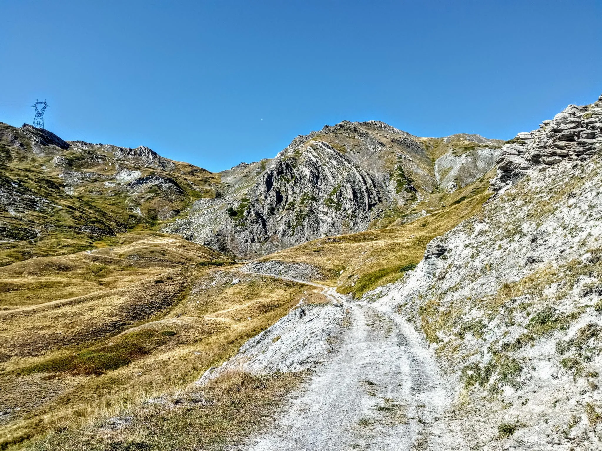
Between valleys and peaks – Ultra Gravel Tour des Alpes
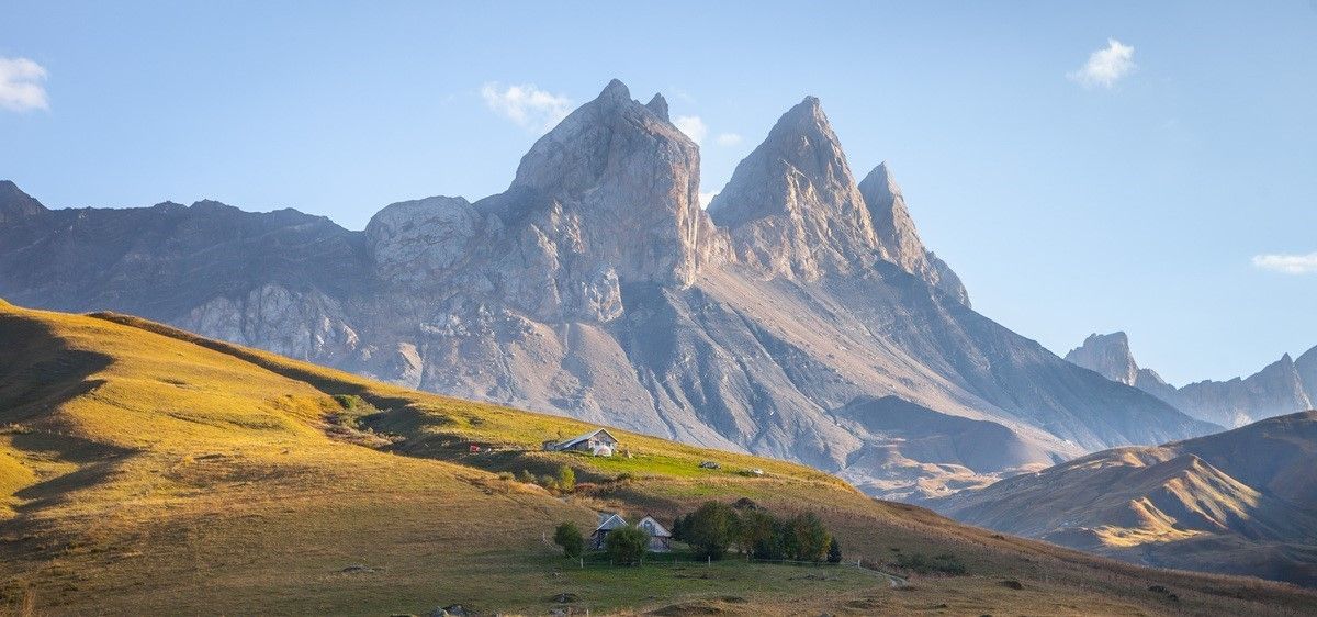
France’s breathtaking Alpine world — road bike routes around Maurienne
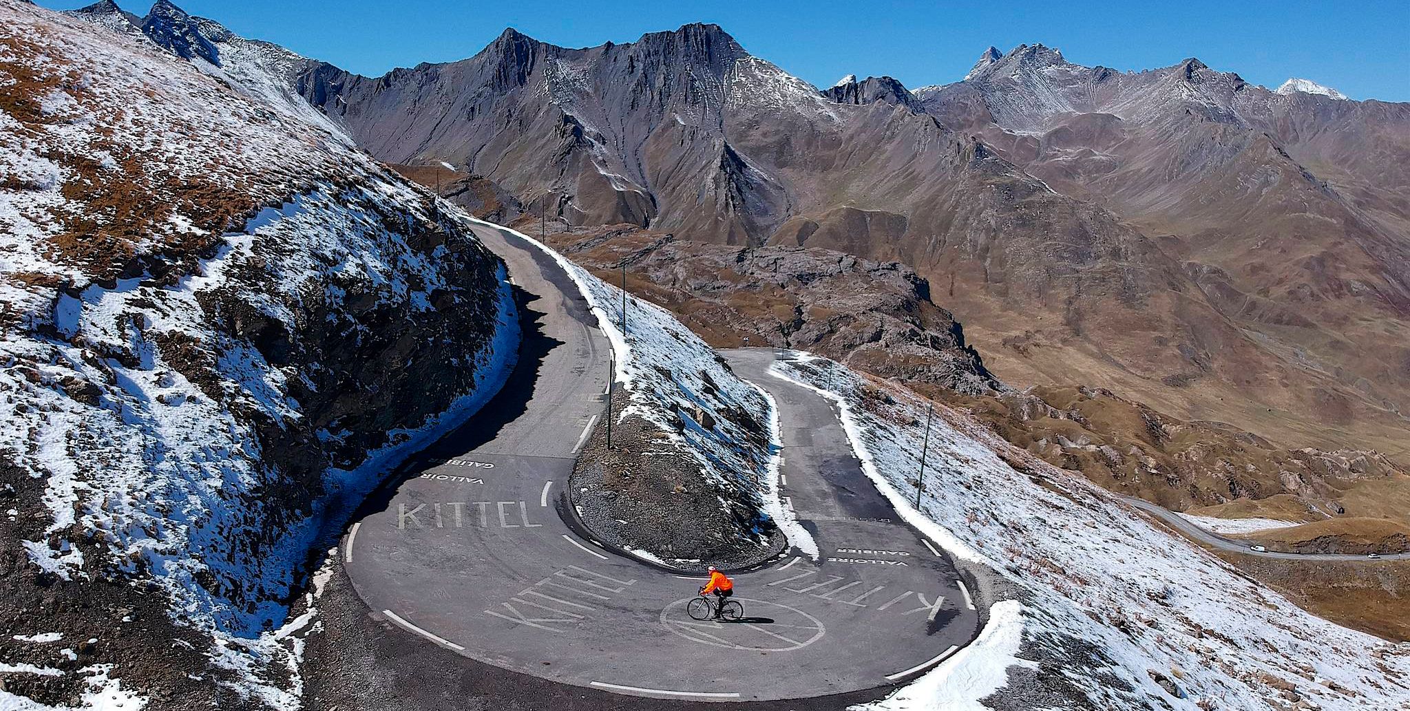
Tracing the Tour de France – spectacular passes in the Auvergne-Rhône-Alps
Traffic-free bike rides around Saint-Étienne-De-Cuines

Traffic-free bike rides around Saint-Étienne-De-Cuines
Other adventures around Saint-Étienne-De-Cuines


Tips from the Community

Narrow road by the rock, great views.
1
0
Narrow road by the rock, great views.
2
0
Narrow road by the rock, great views.
2
0
Orderly ascent, nice pass with chapel and bar/restaurant. Some water points, but not many.
1
0
Drinking water is always important in case a bar or restaurant is closed. In Montvernier there are at least 2 drinking water fountains.
2
0
Church worth seeing in Montvernier.
2
0
nice little restaurant, great views
2
0
Small resting place, great view.
2
0
Frequently Asked Questions
How many no-traffic touring cycling routes are available around Saint-Étienne-De-Cuines?
There are over 20 touring cycling routes around Saint-Étienne-De-Cuines that offer a no-traffic experience. These routes range from moderate to difficult, providing options for various skill levels.
Are there any easy no-traffic touring cycling routes suitable for beginners or families?
While many routes in the region are challenging, some moderate options exist that can be enjoyed by those seeking a less strenuous ride. For example, the Superb views – Lacets de Montvernier loop from Pontamafrey-Montpascal is a moderate 12.4 km route with a manageable elevation gain, offering stunning scenery without heavy traffic. The Maurienne valley also features sections of the V63 cycle route, known for being more accessible.
What kind of terrain can I expect on no-traffic touring cycling routes in Saint-Étienne-De-Cuines?
The terrain around Saint-Étienne-De-Cuines is predominantly mountainous, nestled in the French Alps. Even on no-traffic routes, you can expect significant elevation changes, including climbs and descents. The region is famous for its challenging mountain passes, but also offers scenic valley rides through alpine forests and meadows.
What are the best times of year to enjoy no-traffic touring cycling in this region?
The best time to cycle in the Maurienne Valley and around Saint-Étienne-De-Cuines is typically from late spring to early autumn (May to October). During these months, the weather is generally favorable, and the higher mountain passes are usually clear of snow. Summer offers warmer temperatures, while spring and autumn provide cooler rides and vibrant foliage.
Are there any circular no-traffic touring cycling routes available?
Yes, many of the no-traffic touring cycling routes around Saint-Étienne-De-Cuines are designed as loops. For instance, the Montvernier Hairpins – View of the Maurienne Valley loop from Pontamafrey-Montpascal offers a challenging 27.9 km circular ride. Another option is the Wolf Lake loop from Montaimont, a difficult 23.6 km route.
What notable landmarks or attractions can I see along these routes?
Many routes offer breathtaking views and pass by significant natural and man-made features. You can encounter legendary mountain passes like Col du Chaussy and the famous Lacets de Montvernier, known for its tight switchbacks. The Spectacular Cliffside Road Above Montvernier is another highlight offering impressive vistas.
Where can I find parking for my car and bike near the no-traffic routes?
Saint-Étienne-De-Cuines and surrounding villages like Pontamafrey-Montpascal, which serve as starting points for several routes, typically offer public parking facilities. It's advisable to check local signage for specific parking regulations and availability, especially during peak season.
What do other touring cyclists enjoy most about cycling in Saint-Étienne-De-Cuines?
The area is highly rated by the komoot community, with an average score of 4.47 stars from 83 ratings. Reviewers often praise the challenging climbs, the stunning Alpine scenery, and the sense of accomplishment from tackling iconic passes. The focus on no-traffic routes also contributes to a peaceful and immersive cycling experience.
Are there any routes that offer views of lakes or other water features?
Yes, the region's diverse landscape includes alpine lakes. The Wolf Lake loop from Montaimont is one such route that incorporates a beautiful lake into its scenery. Additionally, the broader Maurienne valley is home to other picturesque lakes like Lac de Laitelet and Lac des Hurtières, which can be explored on various routes.
Can I access these no-traffic routes using public transport with my bike?
Public transport options in the French Alps can be limited, especially for carrying bikes. While some regional buses or trains might accommodate bikes, it's best to verify specific services and their bike policies in advance. For detailed information on local transport, you might consult the local tourism office's website, such as tourisme-la-chambre.com.
Are there any particularly challenging no-traffic routes for experienced touring cyclists?
Absolutely. The region is renowned for its demanding climbs. Routes like the Montvernier Hairpins – View of the Maurienne Valley loop from Pontamafrey-Montpascal, with over 1100 meters of elevation gain over 27.9 km, are classified as difficult and will test even experienced riders. These routes often incorporate sections of famous Tour de France passes.
Most popular routes around Saint-Étienne-De-Cuines
Most popular attractions around Saint-Étienne-De-Cuines

Get inspired with the komoot mobile app


Explore more
Browse the best Cycling routes in other regions.
