The best traffic-free bike rides around Thorens-Glières
4.4
(42)
347
riders
38
rides
Gravel biking around Thorens-Glières offers diverse terrain in the Haute-Savoie department of France. The region features mountain pastures, river valleys, and views of Lake Annecy. Routes often include significant elevation changes, traversing areas like the Plateau des Glières and following riverbanks such as the Arve, Fier, and Usses.
Best no traffic gravel bike trails around Thorens-Glières
- The most popular no traffic gravel bike trail is Footbridge over the Arve – Arve Path loop from La Roche-sur-Foron, a 29.4 miles…
Last updated: May 22, 2026
5
riders
55.4km
04:51
1,560m
1,560m
Hard gravel ride. Very good fitness required. Mostly paved surfaces. Suitable for all skill levels.
19
riders
41.8km
02:39
420m
420m
Moderate gravel ride. Good fitness required. Mostly paved surfaces. Suitable for all skill levels.

Sign up for free
4.5
(6)
22
riders
Hard gravel ride. Very good fitness required. Mostly paved surfaces. Suitable for all skill levels.
4.0
(1)
10
riders
Hard gravel ride. Very good fitness required. Mostly paved surfaces. Suitable for all skill levels.
6
riders
Moderate gravel ride. Good fitness required. Mostly paved surfaces. Suitable for all skill levels.
Get access to more routes and recommendations from other explorers.
Sign up for free
Already have an account?
Our route recommendations are based on thousands of hikes, rides, and runs completed by other people on komoot.
Start today with a free account
Your next adventure awaits.
Login or Signup
Popular around Thorens-Glières

Tips from the Community

By straying for a moment from the main path, you can discover this small beach on the banks of the Fier. This river, a tributary of the Rhône, boasts a rich and varied natural environment along its banks.
0
0

worth to go, but it's if it's to go on the plateau, it's nicer the other way up!
0
1

The structure is an asymmetrical cable-stayed bridge made of pre-stressed concrete, approximately 75 metres long. The pylon inclined at 15° to the vertical has the shape of an inverted V; the deck crosses this pylon without resting on it.
1
0
Point of intersection Le Pelloux Altitude 427m
1
0
Point of intersection The Islands of Clermont Altitude 436m
1
0
Point of intersection Passerelle de Saint Pierre Altitude 437m on the left bank of the Arve
1
0


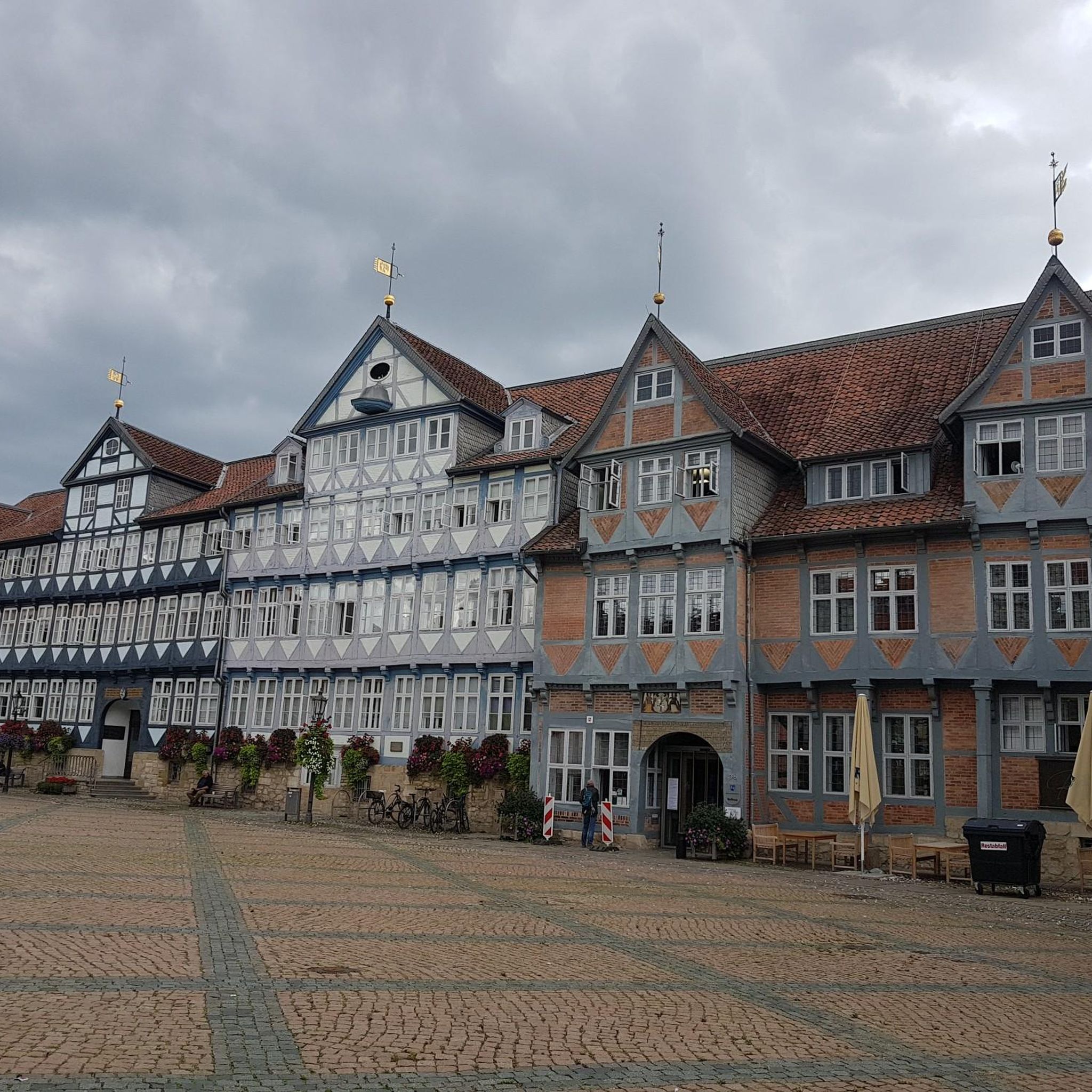
Located in the center of Haute-Savoie, this town with its rich and preserved heritage is classified as “Beaux Détours de France”. Some of its buildings, such as the Saint-Jean-Baptiste church, are classified as Historic Monuments.
1
0
Frequently Asked Questions
How many traffic-free gravel bike trails are available around Thorens-Glières?
There are over 30 dedicated traffic-free gravel bike trails around Thorens-Glières. These routes offer a diverse range of experiences, from moderate loops to more challenging long-distance rides, ensuring there's something for every gravel biking enthusiast.
What kind of terrain and difficulty can I expect on these no-traffic gravel trails?
The no-traffic gravel trails around Thorens-Glières offer varied terrain, from serene river valleys along the Arve, Fier, and Usses to challenging mountain pastures and significant elevation changes. While most routes are rated as difficult (21 out of 30), there are also 7 moderate and 2 easy options available, often featuring views of Lake Annecy or traversing areas like the Plateau des Glières.
What natural features or landmarks can I explore along the no-traffic gravel bike routes?
Many routes offer stunning natural beauty. You can expect views of Lake Annecy from Mont Veyrier or Mont Baron, and pass through significant areas like the Plateau des Glières, a protected natural site. Other notable features include the Glières Pass, the Caille Bridge, and the Col de la Colombière. The region's rivers, such as the Arve, Fier, and Usses, also feature prominently in many routes.
Are there any family-friendly no-traffic gravel bike trails suitable for all ages?
Yes, there are options suitable for families. For instance, the Footbridge over the Arve – Arve Path loop from La Roche-sur-Foron is a moderate 47 km route that follows the Arve Path, known for its pleasant riverside sections. While many routes involve elevation, the easier trails tend to stick to flatter river valleys, providing a more relaxed experience for younger riders or those seeking less strenuous rides.
Can I bring my dog on the gravel bike trails around Thorens-Glières?
Generally, dogs are welcome on many outdoor trails in the Thorens-Glières region, especially on gravel paths. However, it's crucial to keep your dog on a leash, particularly in protected areas like the Plateau des Glières, which is a Natura 2000 site and home to diverse wildlife. Always ensure your dog is well-behaved and doesn't disturb other users or local fauna.
What do other gravel bikers enjoy the most about gravel biking in Thorens-Glières?
The komoot community highly rates the gravel biking experience in Thorens-Glières, with an average score of 4.5 stars. Reviewers often praise the stunning views of Lake Annecy and the surrounding Alps, the diverse terrain ranging from riverbanks to mountain passes, and the sense of tranquility found on the traffic-free routes, especially those traversing the picturesque Plateau des Glières.
Are there any circular no-traffic gravel bike routes available?
Yes, many of the no-traffic gravel bike routes around Thorens-Glières are designed as loops, allowing you to start and finish at the same point. Examples include the Footbridge over the Arve – Arve Path loop from La Roche-sur-Foron and Les Usses River Picnic Spot – Panoramic view to le Parmelan loop from Menthonnex-en-Bornes. These circular routes are convenient for planning your day without needing shuttle services.
What is the best season for gravel biking in Thorens-Glières to avoid traffic?
Spring and autumn are generally ideal for gravel biking in Thorens-Glières. During these seasons, the weather is often pleasant, and the trails are less crowded than in peak summer. While the routes are designed to be traffic-free, these shoulder seasons offer cooler temperatures and beautiful scenery, enhancing the peaceful experience. Some higher elevation routes might be inaccessible in winter due to snow.
Where can I find parking for these no-traffic gravel bike trails?
Many of the gravel bike routes start from towns or villages like La Roche-sur-Foron, Saint-Pierre-en-Faucigny, Villaz, or Menthonnex-en-Bornes, where public parking is typically available. For routes accessing specific natural areas like the Plateau des Glières, designated parking areas are usually provided at trailheads. It's advisable to check the specific route details on komoot for recommended starting points and parking information.
Are there any routes that offer panoramic views of Lake Annecy?
Absolutely. The region's proximity to Lake Annecy means several gravel routes offer breathtaking views. While not explicitly listed as traffic-free in the guide, routes like the 'View of Lake Annecy – Lake Annecy loop from Groisy - Thorens - La Caille' (a more difficult 131.6 km path) are known for their scenic vistas. You can often find viewpoints like Mont Veyrier or Mont Baron that are accessible from various trails, providing stunning panoramas of the lake and surrounding mountains.
Can I access these gravel trails using public transport?
While direct public transport to every trailhead might be limited, some starting points in larger towns like La Roche-sur-Foron or Saint-Pierre-en-Faucigny are more accessible by regional buses or trains. From these points, you can often connect to the gravel network. For routes in more remote areas, such as the Plateau des Glières, public transport options might be less frequent, making a car a more convenient option for reaching the starting point.
Most popular routes around Thorens-Glières
Most popular attractions around Thorens-Glières

Get inspired with the komoot mobile app


Explore more
Browse the best Gravel rides in other regions.
