The best road cycling routes around Thorens-Glières
4.4
(400)
17,633
riders
10
rides
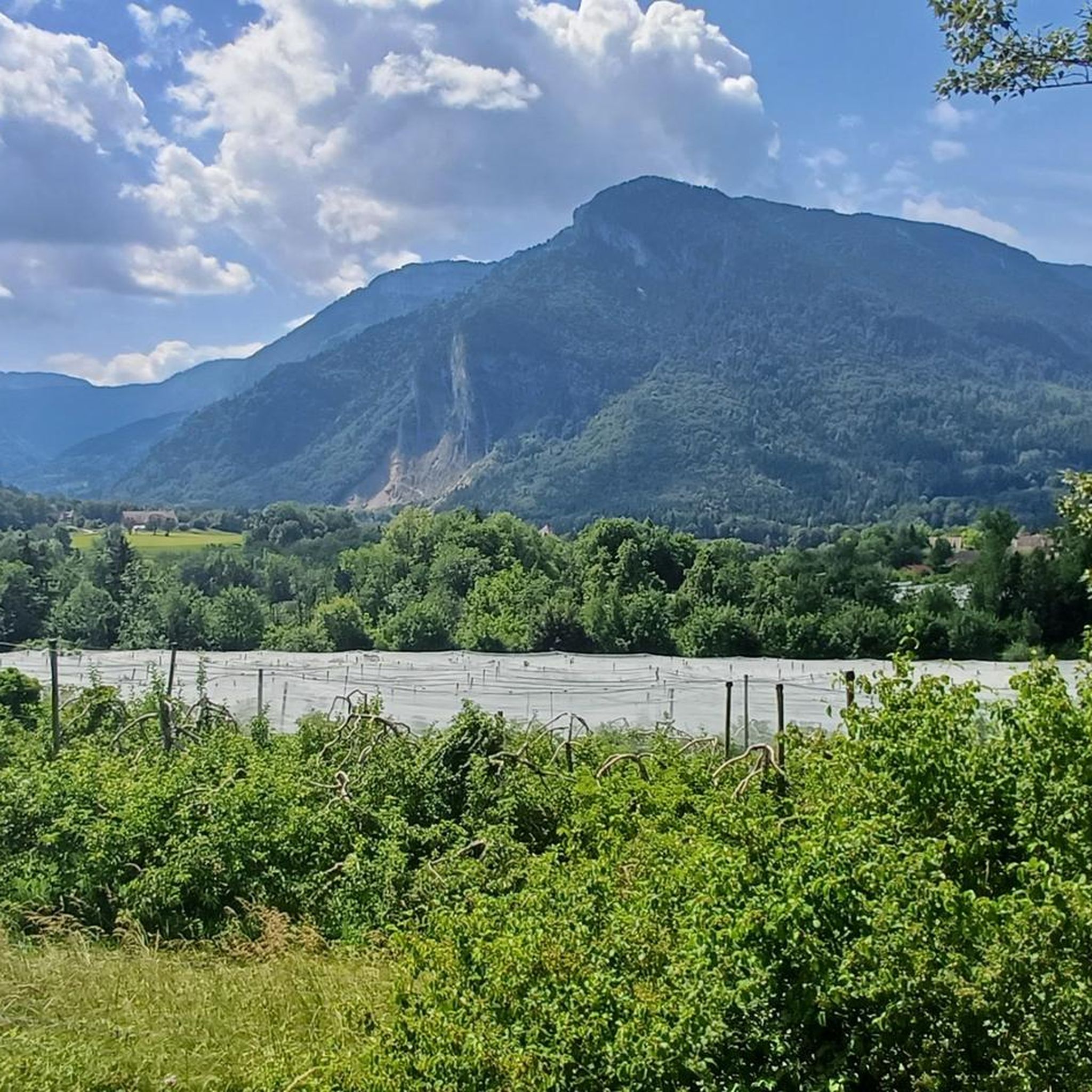
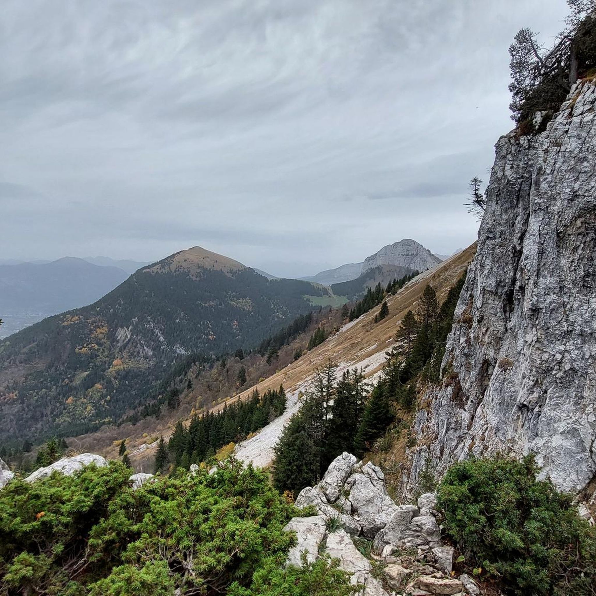
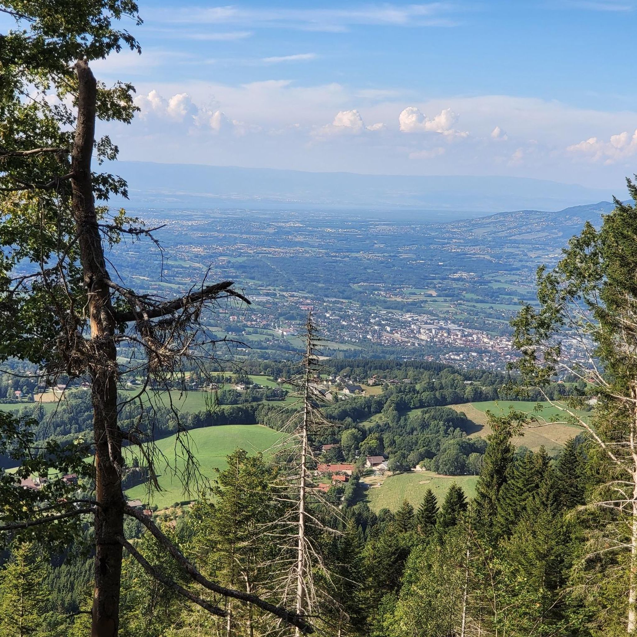
Road cycling around Thorens-Glières is characterized by a varied landscape, including mountain passes, lake views, and forested areas. The region, situated near the French Alps, offers routes that ascend to cols and provide vistas of surrounding peaks. Terrain ranges from rolling hills to more challenging climbs, with routes often incorporating historical paths and natural water features.
Best road cycling routes around Thorens-Glières
- The most popular road cycling route is Lake Annecy – Bluffy Pass loop from Thorens-Glières, a 31.9 miles (51.3 km) trail that takes 2 hours 23 minutes to complete. This route features views of Lake Annecy and includes the Bluffy Pass.
- Another top favourite among local road cyclists is View of the Mountain Peaks – Col des Fleuries loop from Mappenaz, a difficult 48.4 miles (77.9 km) path. This route traverses mountain passes with expansive views of the surrounding peaks.
- Local road cyclists also love the Lake Dronières – Caille Bridge loop from Thorens-Glières, a 25.7 miles (41.4 km) trail leading through Lake Dronières and near the Caille Bridge, often completed in about 2 hours 4 minutes.
- Road cycling around Thorens-Glières is defined by mountain passes, lake views, and forested valleys. The network offers options for various ability levels, from moderate loops to advanced road biking challenges.
- The routes in Thorens-Glières are highly rated by the komoot community with an average score of 4.3 stars from over 200 reviews. More than 9000 road cyclists have used komoot to explore Thorens-Glières's varied terrain.
Last updated: July 5, 2026
4.2
(5)
127
riders
51.3km
02:23
660m
670m
Moderate road ride. Good fitness required. Mostly well-paved surfaces and easy to ride.
4.5
(2)
39
riders
41.4km
02:05
660m
660m
Moderate road ride. Good fitness required. Mostly well-paved surfaces and easy to ride.

Sign up for free
33
riders
34.2km
01:50
680m
680m
Moderate road ride. Good fitness required. Mostly well-paved surfaces and easy to ride.
32
riders
19.8km
01:05
370m
370m
Moderate road ride. Good fitness required. Mostly well-paved surfaces and easy to ride.
21
riders
42.5km
02:08
690m
690m
Moderate road ride. Good fitness required. Some segments of this route may be unpaved and difficult to ride.
Get access to more routes and recommendations from other explorers.
Sign up for free
Already have an account?
Our route recommendations are based on thousands of hikes, rides, and runs completed by other people on komoot.
Start today with a free account
Your next adventure awaits.
Login or Signup

Tips from the Community

Small pass full the main road D909
1
0
Cycle path by the lake, disturbing cars separate, busy on Sundays.
2
0

On the way to the Col and Plateau des Glières ... Grocery store, pharmacy, tobacco shop, butcher, cheese shop, restaurants, etc. Water in front of the town hall Bike repair point behind the town hall
0
0

A beautiful route between Yvoire and Annecy mostly via cycle paths and country roads.
0
0

A lovely little mountain pass near Lake Annecy
0
0

Magnificent fresco in homage to the resistance fighters of the Glières plateau.
0
0

This lake is divided into a large lake and a small canal. Trout fishing is practiced here, as well as carp fishing. Special permits are available in several shops and bars in town. Main fish: rainbow trout, carp, roach, bream, catfish, pike, perch, etc. Depth: generally 1.5m to 2m, but near the dike, it can be between 4 and 5m.
1
0
Intersection point les Dronières (Parking) Altitude 790m
1
0
Frequently Asked Questions
How many road cycling routes are available around Thorens-Glières?
There are over 10 road cycling routes available around Thorens-Glières, catering to various skill levels. The komoot community has explored these routes over 9,000 times.
Are there easy road cycling routes suitable for beginners in Thorens-Glières?
Yes, Thorens-Glières offers at least one easy road cycling route, alongside several moderate options that can be suitable for beginners looking for a gentle introduction to the region's varied terrain. These routes typically feature less elevation gain and shorter distances.
What options are available for experienced road cyclists seeking a challenge?
Experienced road cyclists will find challenging routes with significant elevation gain. For instance, the View of the Mountain Peaks – Col des Fleuries loop from Mappenaz is a difficult 48.4-mile (77.9 km) path that traverses mountain passes with expansive views of the surrounding peaks, offering over 1,200 meters of ascent.
When is the best time of year for road cycling in Thorens-Glières?
Given its proximity to the French Alps, the best time for road cycling in Thorens-Glières is generally from late spring through early autumn (May to October). During these months, the weather is typically more stable, and mountain passes are clear of snow, offering ideal conditions for exploring the varied landscape.
What kind of scenery can I expect on road cycling routes in Thorens-Glières?
Road cycling routes in Thorens-Glières offer a diverse landscape, including stunning mountain passes, picturesque lake views, and serene forested areas. You can expect vistas of surrounding peaks, rolling hills, and routes that often incorporate historical paths and natural water features like Lake Dronières.
Are there circular road cycling routes available?
Yes, many road cycling routes around Thorens-Glières are designed as loops, allowing you to start and finish in the same location. Examples include the popular Lake Annecy – Bluffy Pass loop from Thorens-Glières and the Lake Dronières – Caille Bridge loop from Thorens-Glières.
What can I see along the road cycling routes in Thorens-Glières?
Along the road cycling routes, you can encounter various points of interest. These include natural landmarks like Lake Dronières and the impressive Caille Bridge. Many routes also offer panoramic views, such as those from the Glières Pass or towards Lake Annecy.
What do other road cyclists enjoy most about road cycling in Thorens-Glières?
The area is highly rated by the komoot community, with an average score of 4.3 stars from over 200 reviews. Reviewers often praise the varied terrain, from challenging mountain passes to scenic lake views, and the well-maintained roads that make for an enjoyable cycling experience.
Are there any routes that pass through historical areas?
Yes, some routes incorporate historical paths. For example, the Roman road – The Parmelan Balconies loop from Thorens-Glières offers a moderate 34.2-mile (55 km) ride that includes sections with historical significance, providing a cultural dimension to your cycling adventure.
Where can I find cafes or places to rest along the routes?
While specific cafes are not listed for each route, the region around Thorens-Glières is dotted with charming villages and towns. Many routes, especially those passing through populated areas or near attractions like Lake Annecy, will have opportunities for refreshments and rest stops. It's always a good idea to check the route details or local maps for specific amenities.
What is the typical elevation gain on road cycling routes in this region?
The elevation gain varies significantly depending on the route's difficulty. Moderate routes, such as the Lake Annecy – Bluffy Pass loop, can have around 665 meters of ascent. More challenging routes, like the View of the Mountain Peaks – Col des Fleuries loop, feature over 1,200 meters of climbing, characteristic of the Alpine foothills.
Most popular routes around Thorens-Glières
Most popular attractions around Thorens-Glières

Get inspired with the komoot mobile app


Explore more
Browse the best Road cycling routes in other regions.
