The best mountain hikes around Thorens-Glières
4.7
(25)
226
hikers
11
hikes
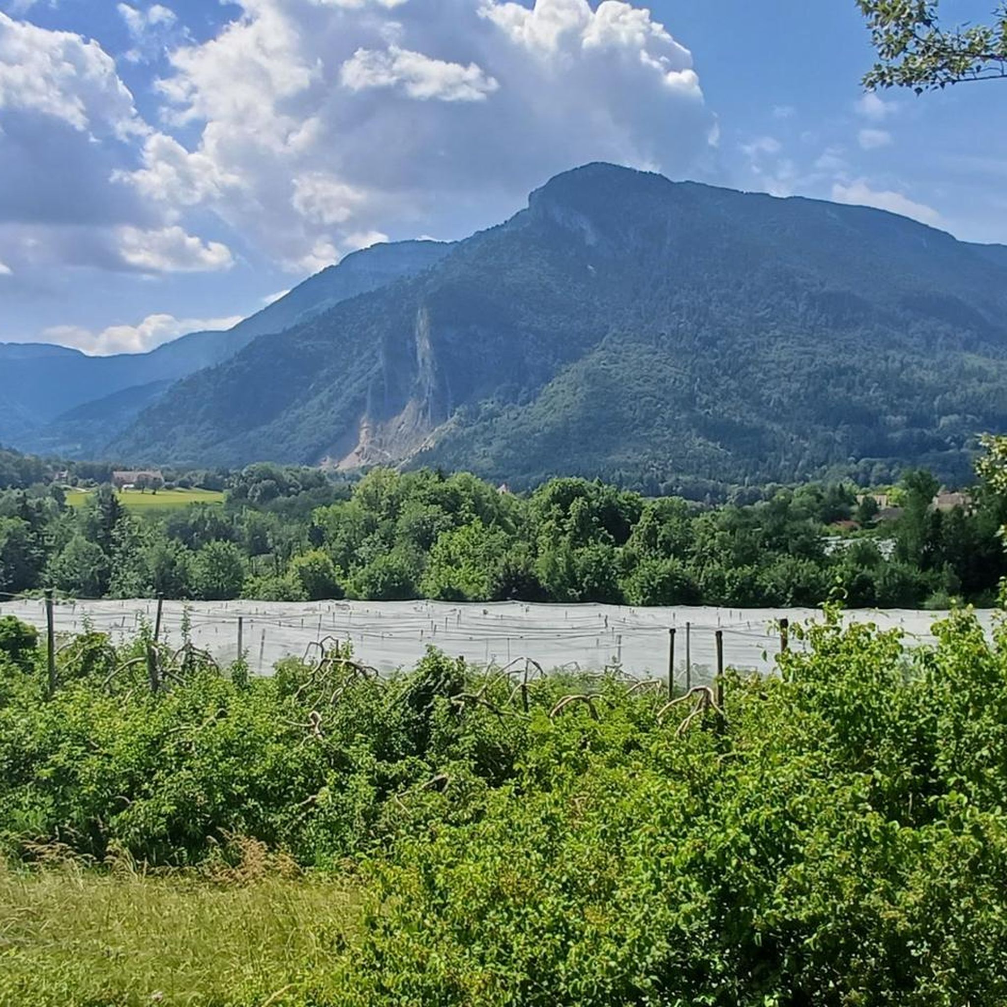
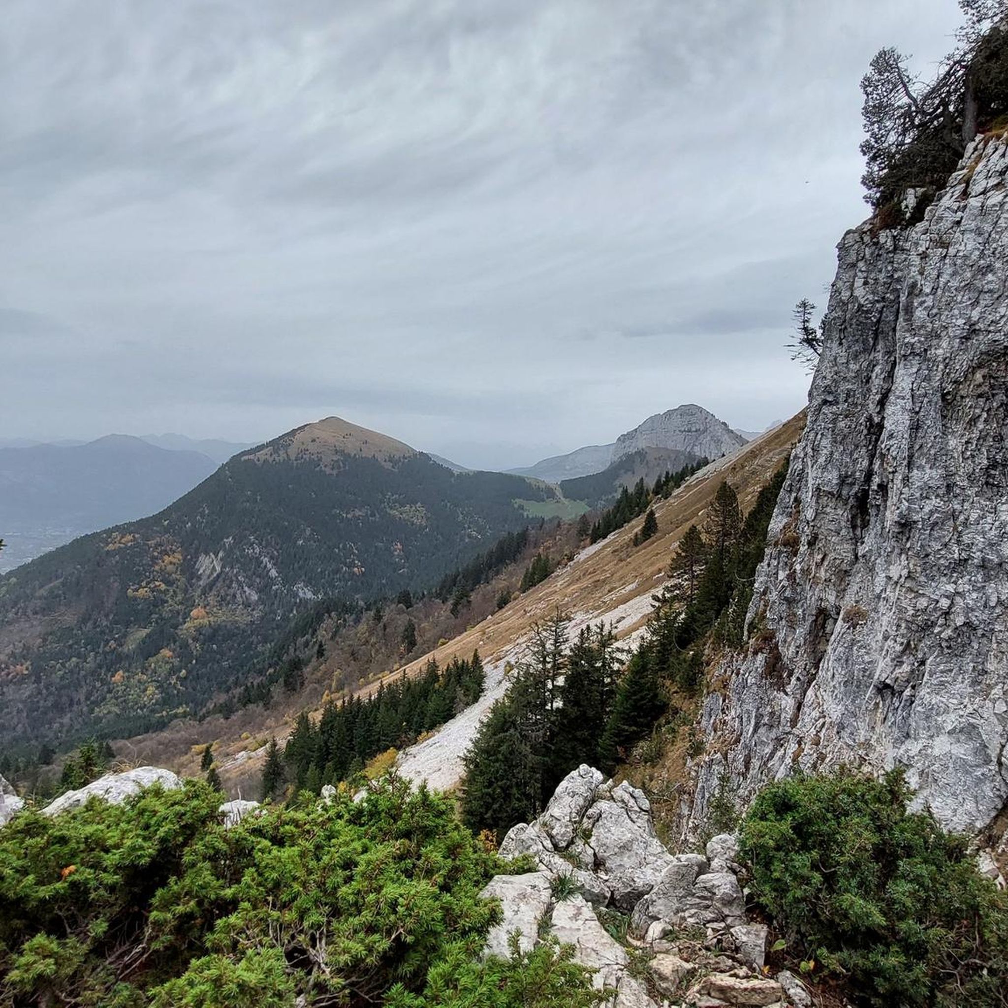
Mountaineering routes around Thorens-Glières are characterized by diverse landscapes, including the high-altitude Plateau des Glières at 1440 meters, surrounded by prominent peaks such as Montagne de Sous Dîne (2004m) and Tête du Parmelan (1832m). The region features lush alpine meadows, dense forests, and rugged cliffs like Falaise de Pierre Taillée, offering varied terrain for ascents. The Fillière Valley provides access points to many trails, leading through a mix of natural environments.
Best mountaineering routes around Thorens-Glières
- The most popular mountaineering…
Last updated: May 15, 2026
5.0
(4)
28
hikers
9.31km
04:14
660m
660m
Hard mountaineering route. Good fitness required. Sure-footedness, sturdy shoes and alpine experience required.
4.3
(6)
21
hikers
15.7km
07:17
1,180m
1,180m
Hard mountaineering route. Very good fitness required. Sure-footedness, sturdy shoes and alpine experience required.

Sign up for free
17
hikers
1.62km
00:59
130m
130m
Hard mountaineering route. Great for any fitness level. Sure-footedness, sturdy shoes and alpine experience required.
12
hikers
11.0km
03:47
590m
590m
Moderate mountaineering route. Good fitness required. Easily-accessible paths. Suitable for all skill levels.
5.0
(2)
13
hikers
7.71km
03:46
640m
640m
Hard mountaineering route. Good fitness required. Sure-footedness, sturdy shoes and alpine experience required.
Get access to more routes and recommendations from other explorers.
Sign up for free
Already have an account?
Our route recommendations are based on thousands of hikes, rides, and runs completed by other people on komoot.
Start today with a free account
Your next adventure awaits.
Login or Signup
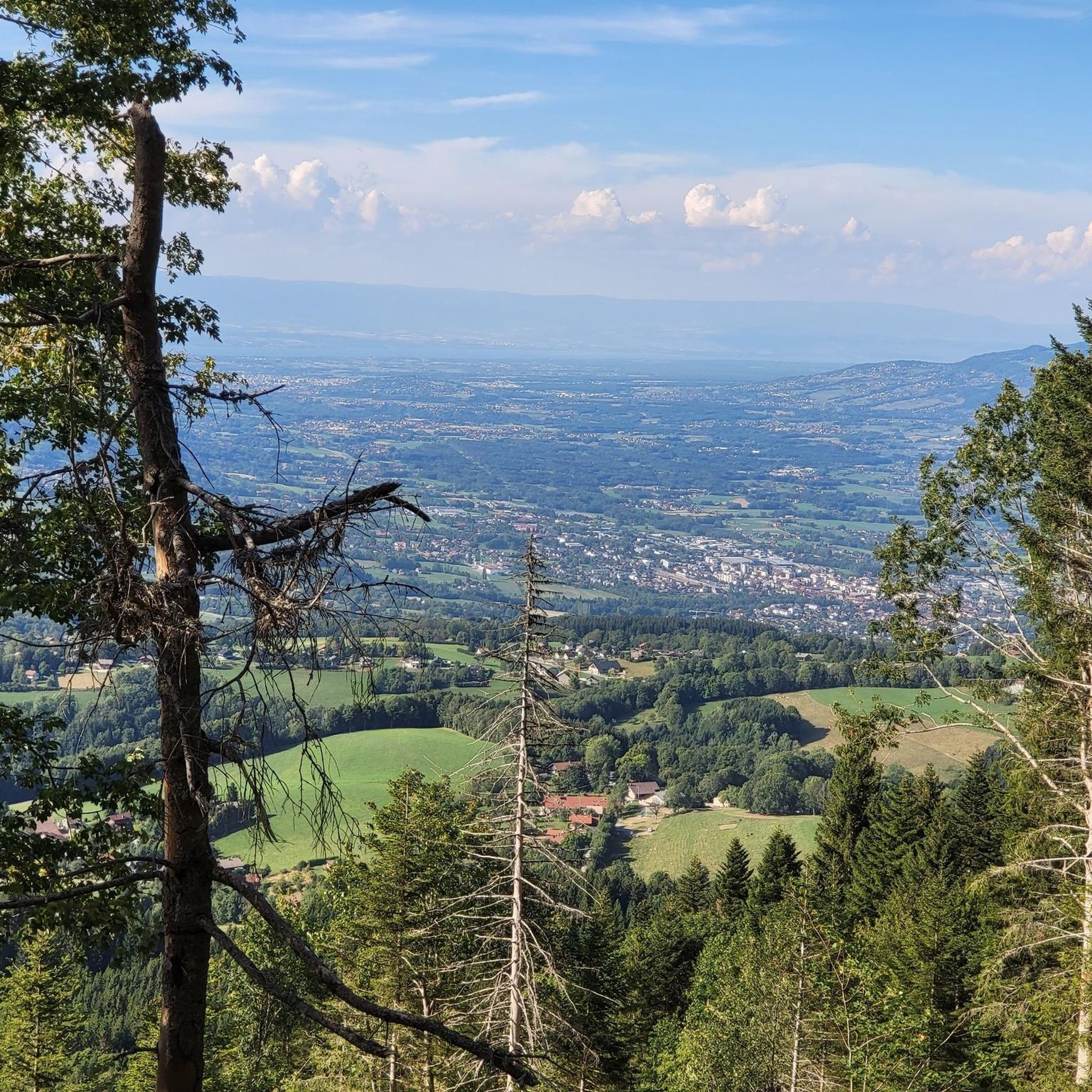
Tips from the Community

Beautiful view of the village of La Clusaz and the Aravis mountain range 🤩
0
0


A great chalet run by a very kind family and where we were able to buy fresh tomme cheese.
0
0
A bit dizzying but when the weather conditions are good and you watch where you put your feet, everything is fine!
0
0

To do with family easily, beautiful panoramic view
0
0

This parking lot is perfect for starting a hike to the Tête du Parmelan, located 700 meters higher at 1,804 meters above sea level.
0
0

The cable part is very pleasant and offers magnificent landscapes!
0
1

Chalet Chappuis is located at the top of the hill above Dingy-Saint-Clair, and below the Tête du Parmelan. You can enjoy coffee and regional produce on the farm during the summer months, whilst enjoying spectacular views of the surrounding rocky peaks, valleys and the famous Lake Annecy.
0
0
Frequently Asked Questions
How many mountaineering routes are available around Thorens-Glières?
There are 12 mountaineering routes around Thorens-Glières, offering a range of experiences from moderate to difficult. These routes are highly rated by the komoot community, with an average score of 4.8 stars.
Are there any moderate mountaineering routes for those looking for a less strenuous experience?
Yes, there are 4 moderate routes available. For example, the View of the Mountain Meadow loop from La Clusaz is a 10.4 km trail that takes about 3 hours 35 minutes, leading through alpine meadows and forested sections. Another option is the Montagne de Sous-Dîne loop from La Culaz, which is 10.8 km long and offers beautiful views.
What kind of views can I expect on the mountaineering routes in Thorens-Glières?
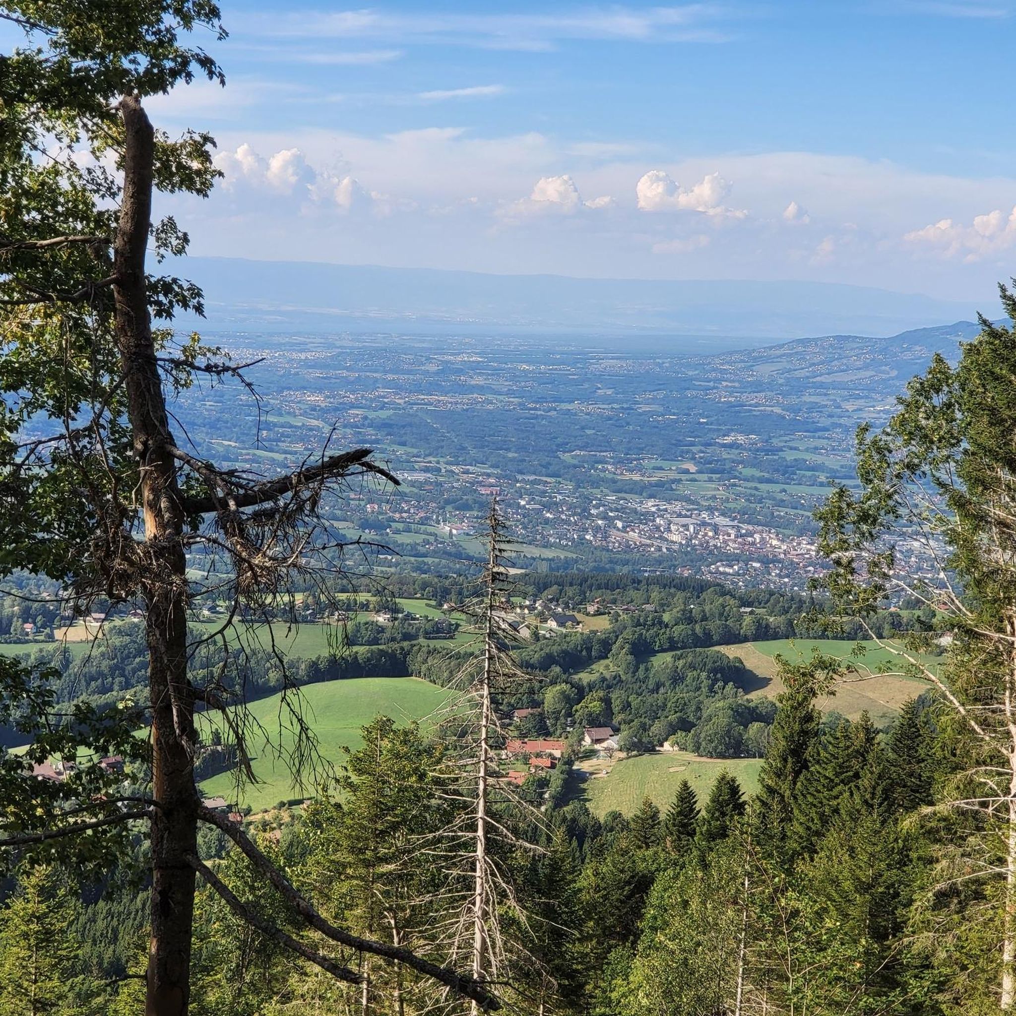
The region is renowned for its stunning panoramic views. Many routes offer vistas of Mont Blanc, the entire Aravis mountain range, and the expansive Fillière valley. Peaks like Montagne de Sous Dîne (2004m) and Tête du Parmelan (1832m) are particularly known for their extensive belvederes.
Are there any circular mountaineering routes in the area?
Yes, several routes are designed as loops. A popular choice is the Le Grand Montoir – Le Petit Montoir loop from Crêt Châtillon, a challenging 9.3 km route. Another option is the Tête du Parmelan – Le Grand Montoir loop from Villaz, which is a longer 15.6 km path with significant elevation gain.
What are some notable natural attractions or landmarks I might see along the routes?
You'll find several natural highlights. The Glières Pass is a significant feature, and the Pas du Roc viewpoint offers incredible views of the Fillière valley. You might also encounter the Morette Waterfall when in season, and the beautiful Lessy lake is also nearby.
Are there any opportunities for rock climbing in Thorens-Glières?
Yes, the region is known for its climbing spots. The Falaise de Pierre Taillée, located just 1.5 km from Thorens-Glières, is a popular cliff with 32 routes ranging from level 3/4 to 8. For a more adventurous experience, Le Pas du Roc offers routes that require experience in placing personal protection.
What is the best time of year for mountaineering in Thorens-Glières?
The best time for mountaineering typically spans from late spring through early autumn (May to October), when the weather is generally more stable and trails are clear of snow. However, the diverse terrain also offers opportunities for snowshoeing in winter.
Are there any challenging mountaineering routes for experienced climbers?
Absolutely. There are 6 difficult routes in the area. The Via Ferrata Thônes loop from Thônes, though shorter, is rated as difficult, providing a unique challenge. Routes ascending to peaks like Montagne de Sous Dîne and Tête du Parmelan also offer significant elevation gain and demanding ascents.
What makes the Plateau des Glières special for mountaineers?
The Plateau des Glières, at 1440 meters, is a significant natural and cultural site. It's a protected area (Natura 2000) with rich biodiversity, featuring lush alpine meadows, bogs, creeks, and forests. It offers a pristine natural setting for mountaineering, combining natural beauty with historical importance.
What do other mountaineers say about the routes in Thorens-Glières?
The routes in Thorens-Glières are highly rated by the komoot community, with an average score of 4.8 stars from over 30 reviews. Mountaineers often praise the diverse terrain, the stunning panoramic views, and the well-preserved natural environment of the region.
Are there any routes that offer views of the Tête du Parmelan?
Yes, the Tête du Parmelan – Le Grand Montoir loop from Villaz is specifically designed to include significant elevation gain towards the Tête du Parmelan, known for its extensive vistas.
Can I find routes that pass through dense forests and serene valleys?
Yes, the landscape around Thorens-Glières transitions from dense forests and serene valleys to high-altitude plateaus. Many trails, particularly those starting from the Fillière Valley, will lead you through a mix of these environments, offering varied scenery throughout your ascent.
Most popular routes around Thorens-Glières
Most popular attractions around Thorens-Glières

Get inspired with the komoot mobile app


Explore more
Browse the best Mountain Hikes & Routes in other regions.
