The best walks and hikes around Thorens-Glières
4.4
(555)
7,613
hikers
65
hikes
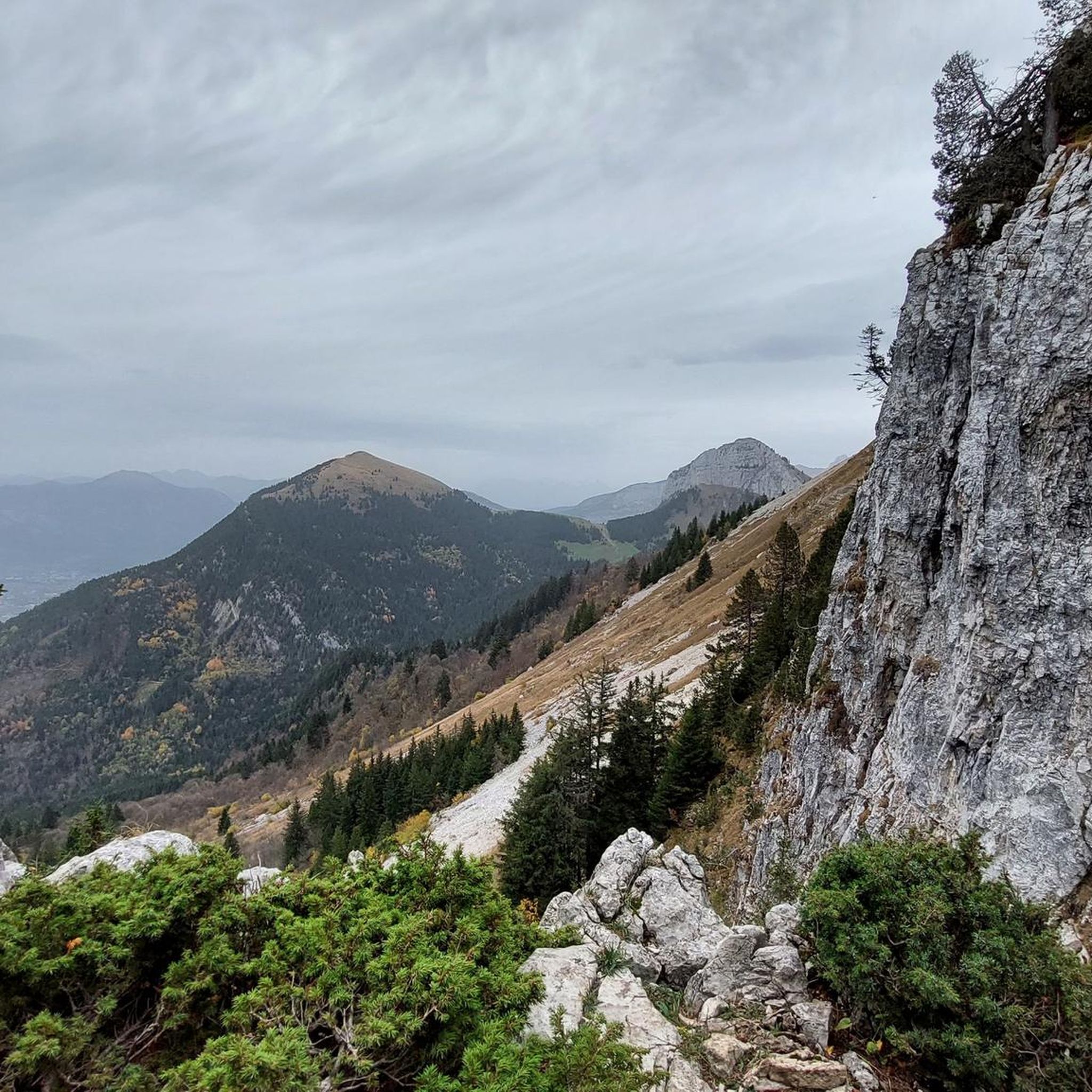
Hiking around Thorens-Glières offers diverse terrain, characterized by mountain pastures, extensive forests, and significant peaks. The region encompasses the Glières Plateau, a protected natural area at 1440 meters, featuring varied landscapes including peat bogs and cliffs. Surrounding mountains like Sous-Dîne and Parmelan contribute to the area's elevation changes and provide panoramic viewpoints. Creeks and the Filière valley add water features to the natural environment.
Best hiking trails around Thorens-Glières
- The most popular hiking route is View of Tête Ronde – Gîte Notre Dame des Neiges loop from Réserve biologique dirigée de la Montagne des Frêtes, a 6.9 miles (11.1 km) trail that takes 3 hours 41 minutes to complete. This moderate route offers views of Tête Ronde and passes by Gîte Notre Dame des Neiges.
- Another top favourite among local hikers is View of Mont Blanc – View of Tête Ronde loop from Réserve biologique dirigée de la Montagne des Frêtes, a moderate 5.8 miles (9.3 km) path. This trail provides expansive views, including distant glimpses of Mont Blanc and closer perspectives of Tête Ronde.
- Local hikers also love the Black Head – Tête Ronde loop from Plateau des Glières, a 7.0 miles (11.3 km) trail leading through the Glières Plateau, often completed in about 3 hours 45 minutes.
- Hiking around Thorens-Glières is defined by mountain pastures, dense forests, and significant peaks like Tête Ronde, offering varied terrain. The network provides options for different ability levels, from easy walks on the plateau to more challenging ascents.
- The routes in Thorens-Glières are highly rated by the komoot community with an average score of 4.4 stars from more than 500 reviews. More than 7000 hikers have used komoot to explore Thorens-Glières's varied terrain.
Last updated: July 9, 2026
4.7
(33)
584
hikers
Hard hike. Good fitness required. Sure-footedness, sturdy shoes and alpine experience required.
4.5
(26)
319
hikers
Moderate hike. Good fitness required. Mostly accessible paths. Sure-footedness required.

Sign up for free
4.9
(20)
302
hikers
Moderate hike. Good fitness required. Mostly accessible paths. Sure-footedness required.
4.6
(8)
117
hikers
11.5km
03:48
540m
540m
Moderate hike. Good fitness required. Mostly accessible paths. Sure-footedness required.
4.4
(5)
130
hikers
20.6km
08:40
1,230m
1,230m
Hard hike. Very good fitness required. Sure-footedness, sturdy shoes and alpine experience required.
Get access to more routes and recommendations from other explorers.
Sign up for free
Already have an account?
Our route recommendations are based on thousands of hikes, rides, and runs completed by other people on komoot.
Start today with a free account
Your next adventure awaits.
Login or Signup

Tips from the Community


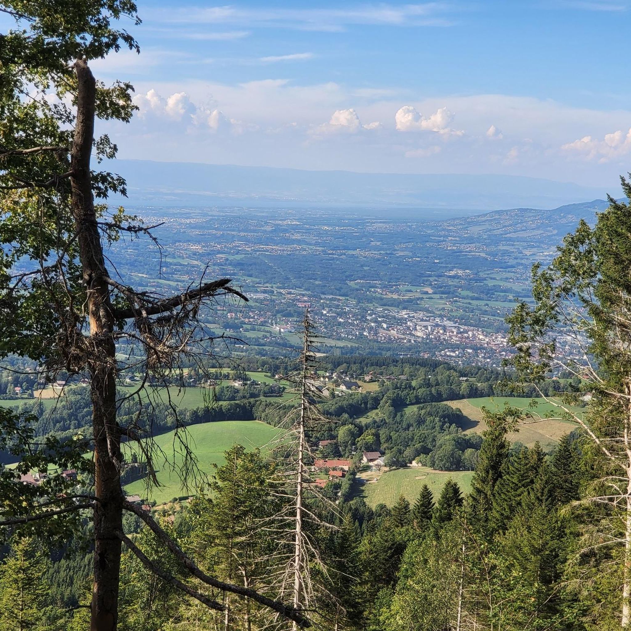
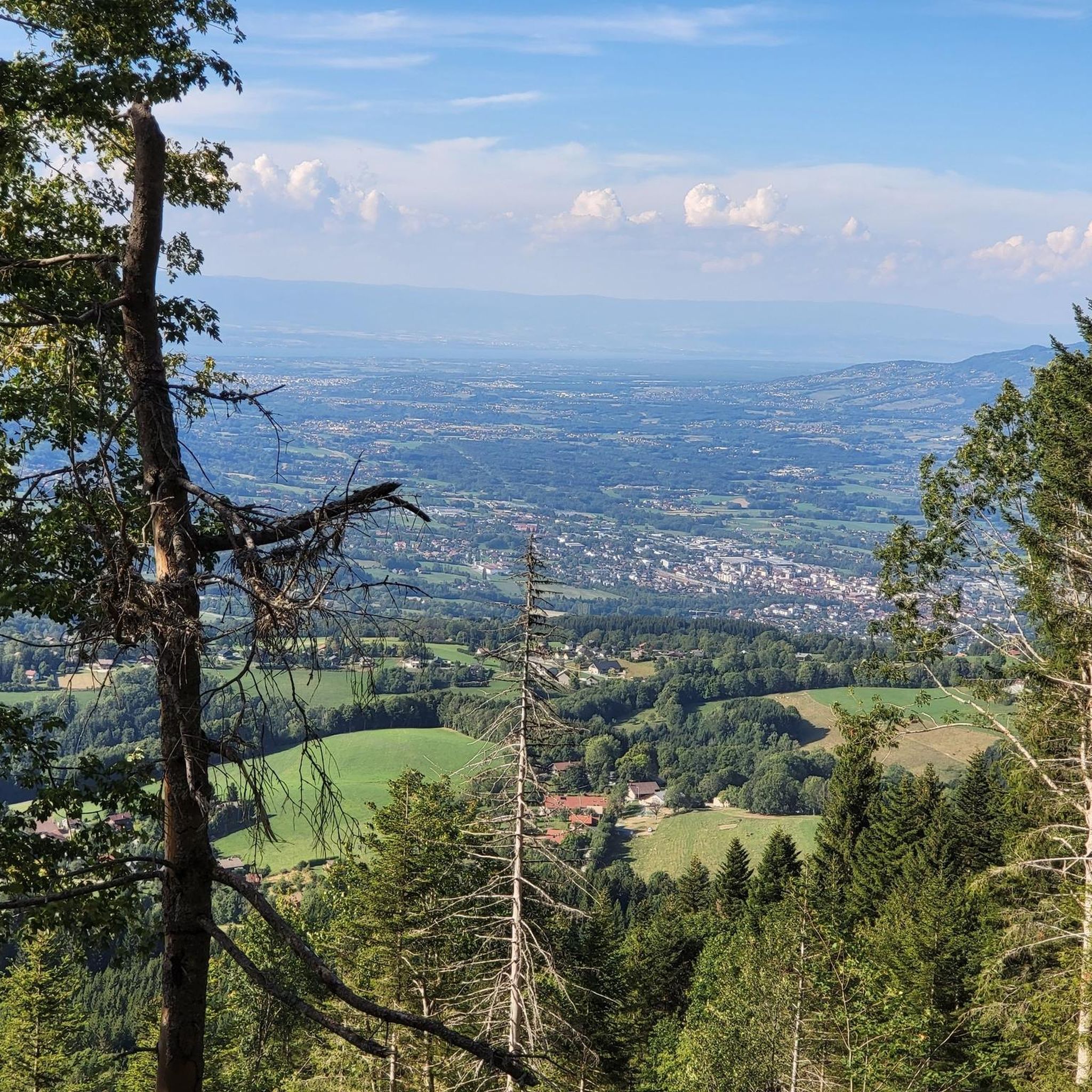
The view from the Belvédère du Pas du Roc is breathtaking, offering a panoramic view of the valley below. From this vantage point, you can admire the vast landscape, where rolling hills, dense forests and meandering rivers create a picturesque scene. The dramatic cliffs and rugged terrain add to the grandeur of the view.
0
0

Breathtaking viewpoint over the Pertuis valley and the Diau cave, and the rocky bar with the Plan de l'Aigle and the Tête de Bunant. Be very careful on the steps of the Sentier des Espagnols. It's slippery, even in dry weather.
0
0

A magical view of the Aravis.
0
0

Beautiful cable climb Slippery even in dry weather Alpine plateaus after Nice for a picnic
0
0


The path, which is quite wide, is not dangerous in itself but could potentially become dangerous if the ground is wet. Otherwise, the real danger is, in my opinion, psychological for those who are prone to vertigo!
0
0
A magnificent loop very close to La Roche sur Foron which will delight lovers of panoramas and ibexes/chamois! Be careful, however, with certain cable passages or with ladders which can be difficult to pass (especially with children or inexperienced people). For example, prefer the passage de Monthieu or the Col du Freu to the fairly exposed Col du Cable.
0
0
Frequently Asked Questions
What kind of terrain can I expect on hikes around Thorens-Glières?
The hiking trails around Thorens-Glières offer a varied landscape. You'll encounter mountain pastures, extensive forests, and significant peaks like Sous-Dîne and Parmelan. The iconic Glières Plateau, a protected natural area at 1440 meters, features diverse terrain including peat bogs and cliffs. Creeks and the Filière valley also add water features to the natural environment.
Are there easy hiking options suitable for beginners or families in Thorens-Glières?
Yes, Thorens-Glières offers several easy hiking options. For instance, the Plateau des Glières – Glières Pass loop from Réserve biologique dirigée de la Montagne des Frêtes is an easy route that takes about 1 hour 30 minutes to complete, covering 5.6 km with minimal elevation gain. The Glières Plateau itself has many gentle paths suitable for all skill levels.
What are some notable viewpoints or natural features to look out for on the trails?
Many trails offer breathtaking panoramic views. You can find distant glimpses of Mont Blanc and closer perspectives of Tête Ronde on routes like the View of Mont Blanc – View of Tête Ronde loop. The Glières Plateau provides clear views of alpine meadows and traditional chalets. Other impressive peaks like Tête Noire, Tête Ronde, and Tête de l'Arpettaz also offer magnificent 360° vistas. You might also encounter natural features like peat bogs, cliffs, and forests, especially within the protected Glières Plateau.
Can I bring my dog on the hiking trails in Thorens-Glières?
The Glières Plateau is recognized as a Sensitive Natural Area (ENS) and Natura 2000 protected area. While many trails in the wider Thorens-Glières region are generally dog-friendly, it's crucial to keep dogs on a leash, especially in protected areas and during specific seasons to protect wildlife and livestock. Always check local signage for specific regulations in certain zones.
What is the best time of year to go hiking in Thorens-Glières?
The best time for hiking in Thorens-Glières is generally from late spring to early autumn (May to October). During these months, trails are typically free of snow, and the weather is more favorable. Summer offers organized nature walks focusing on local flora and fauna. Some higher altitude trails might still have snow early in the season. Winter hiking is possible, but conditions can be challenging, with potential for snow and ice, especially on higher routes.
Are there any circular hiking routes available?
Yes, there are several circular routes. For example, the View of Tête Ronde – Gîte Notre Dame des Neiges loop is a moderate 11.1 km trail. Another option is the Black Head – Tête Ronde loop from Plateau des Glières, which covers 11.3 km through the Glières Plateau.
How many hiking trails are available in the Thorens-Glières area?
There are over 50 hiking routes available in the Thorens-Glières area, catering to various difficulty levels. This includes 5 easy routes, 31 moderate routes, and 21 difficult routes, ensuring options for every hiker.
What do other hikers say about the trails in Thorens-Glières?
The trails in Thorens-Glières are highly rated by the komoot community, with an average score of 4.4 stars from over 500 reviews. Hikers often praise the diverse terrain, the stunning panoramic views, and the well-preserved natural landscapes, particularly on the Glières Plateau.
Are there any huts or refuges along the hiking trails where I can rest or find shelter?
Yes, there are huts and refuges in the vicinity. Notable options include Gîte Notre Dame des Neiges and Chalet de l’Anglettaz. These can provide opportunities for rest or overnight stays on longer treks.
What are the public transport options for reaching trailheads in Thorens-Glières?
While specific public transport routes directly to all trailheads can be limited, local bus services connect Thorens-Glières with larger towns like Annecy. From the village, you may need to rely on local taxis or personal vehicles to reach more remote starting points, especially for trails on the Glières Plateau or around peaks like Sous-Dîne.
Are there any lakes or water features accessible from the hiking trails?
While not directly on every trail, the region includes creeks and the Filière valley. Nearby, you can find beautiful lakes such as Lessy lake, Lake Dronières, and Lake Peyre, which can be destinations themselves or part of longer hiking itineraries.
Most popular routes around Thorens-Glières
Most popular attractions around Thorens-Glières

Get inspired with the komoot mobile app


Explore more
Browse the best Hikes in other regions.
