The best traffic-free bike rides around El Pinar De El Hierro
4.4
(51)
335
riders
7
rides
No traffic touring cycling routes around El Pinar De El Hierro traverse a landscape shaped by volcanic activity, featuring extensive pine forests and dramatic coastlines. The region's terrain includes significant elevation changes, transitioning from sea level to mountainous areas. Cyclists can experience diverse ecosystems, from volcanic fields to dense forests, within relatively short distances. Rugged cliffs and unique volcanic formations characterize the coastal areas.
Best no traffic touring cycling routes around El Pinar De El Hierro
- The most popular no…
Last updated: July 2, 2026
4.7
(3)
7
riders
Hard bike ride. Very good fitness required. Mostly paved surfaces. Suitable for all skill levels.
1
riders
61.5km
04:52
1,550m
1,550m
Hard bike ride. Very good fitness required. Mostly paved surfaces. Suitable for all skill levels.

Sign up for free
4.8
(6)
34
riders
36.9km
02:22
460m
460m
Hard bike ride. Very good fitness required. Mostly paved surfaces. Suitable for all skill levels.
4.8
(4)
17
riders
Hard bike ride. Very good fitness required. Mostly paved surfaces. Suitable for all skill levels.
4.0
(2)
10
riders
36.5km
02:36
730m
730m
Hard bike ride. Very good fitness required. Mostly paved surfaces. Suitable for all skill levels.
Get access to more routes and recommendations from other explorers.
Sign up for free
Already have an account?
Our route recommendations are based on thousands of hikes, rides, and runs completed by other people on komoot.
Start today with a free account
Your next adventure awaits.
Login or Signup
Popular around El Pinar De El Hierro

Tips from the Community

Not all areas are suitable for swimming at all times.
0
0

For centuries, people didn't come here for the landscape. They came for the water. Legend has it that the mineral waters that spring up in this corner of western El Hierro had healing properties and that many people traveled long distances to drink them or bathe in them. Thus, the name Pozo de la Salud was born. Today the place still has something special. Between the cliffs, the ocean, and the isolation of this part of the island, it's hard to imagine a more remote place to find a spring that would become one of the best-known spots on El Hierro. Some come looking for the spa, others for the sunset or the views over the Golfo. What many discover is a hard-to-explain feeling: that of being at the edge of an island that seems to end right here, between rock, sea, and silence.
0
0
La Dehesa is not simply a field with cows. It is one of the most important historical territories of El Hierro and for centuries has been used communally by the island's inhabitants. While much of Europe divided land among owners, here a huge shared space for grazing was maintained. Generations of shepherds from El Hierro with sheep, goats, cows, and horses have passed through these plains. The wind, the fog, and the isolation have shaped both the landscape and the way of life of those who worked here. Very close by is also the Sanctuary of the Virgen de los Reyes, the patron saint of El Hierro. Every four years, the famous Bajada de la Virgen is celebrated, one of the most important traditions in the Canary Islands. The image travels around the island accompanied by thousands of people, following paths that precisely cross part of La Dehesa. The curious thing is the contrast: on one side appear the junipers twisted by the wind and the pastures; on the other, the lava fields that fall towards the Atlantic. Few places show the two souls of El Hierro so well: the volcanic and the pastoral.
1
0
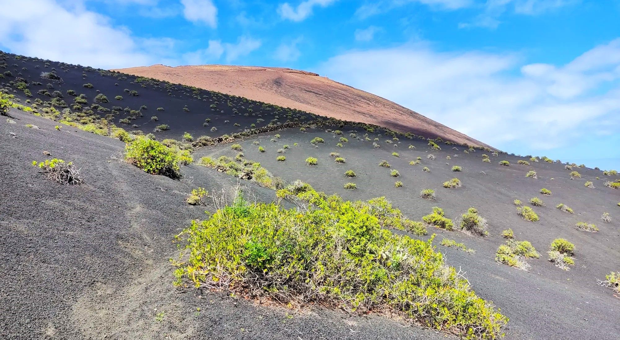
The landscape that extends towards Punta de la Sal is formed by ancient lava flows that descended from the eruptive centers in the west of El Hierro. Although many of these eruptions are prehistoric and do not have an exact known date, they were what built much of this coast. What today appears as an immense expanse of black rock was once lava slowly advancing towards the Atlantic. Erosion has done the rest, creating one of the most spectacular and best-preserved volcanic landscapes in the Canary Islands.
1
0
Very close to the Mirador de Lomo Negro is El Sabinar, probably the most emblematic landscape of El Hierro. Here grow the famous "sabinas" (juniper trees), trees shaped for decades by the trade winds into twisted forms that seem impossible. The curious thing is that none are twisted by chance. The constant wind has slowly bent the trunks over generations, creating one of the most spectacular examples of nature's adaptation in the Canary Islands. The area also has a very special atmosphere: low fog, open pastures, stone walls, free-roaming livestock, and enormous views towards the Atlantic. There are days when it looks more like Ireland or Scotland than a volcanic island. It is one of those places where it is worth getting off your bike, walking for a few minutes, and simply observing. The sabinas have been resisting for centuries the exact same wind that is hitting your face at that moment.
0
0

The Cueva del Caracol was once the first chapel of the Virgen de Los Reyes.
0
0
“El Pastor”: a statue in honor of the shepherds.
0
0

The chapel of the island's patron saint. She is said to have provided rainwater during droughts.
0
0
Frequently Asked Questions
How many no-traffic touring cycling routes are available in El Pinar De El Hierro?
There are 4 dedicated no-traffic touring cycling routes detailed in this guide for El Pinar De El Hierro. These routes offer a unique way to explore the island's diverse landscapes away from vehicular traffic.
What kind of terrain can I expect on these no-traffic touring cycling routes?
The routes in El Pinar de El Hierro traverse a varied landscape. You can expect to cycle through vast pine forests, experience dramatic volcanic terrain, and encounter rugged coastlines. Some routes, like the Malpaso and El Sabinar Loop Trail, will take you through dense forests and past unique natural features like the twisted juniper trees of El Sabinar. Expect significant elevation changes, as the island is mountainous.
Are there routes suitable for different skill levels?
While many of the no-traffic touring cycling routes in El Pinar De El Hierro are rated as 'difficult' due to significant elevation gains, there is also a 'moderate' option. For example, the Pineapple Plantation loop from Frontera is a moderate route, offering a less strenuous but still scenic experience. Electric bikes can also make the more challenging ascents more accessible.
What natural attractions can I see along these routes?
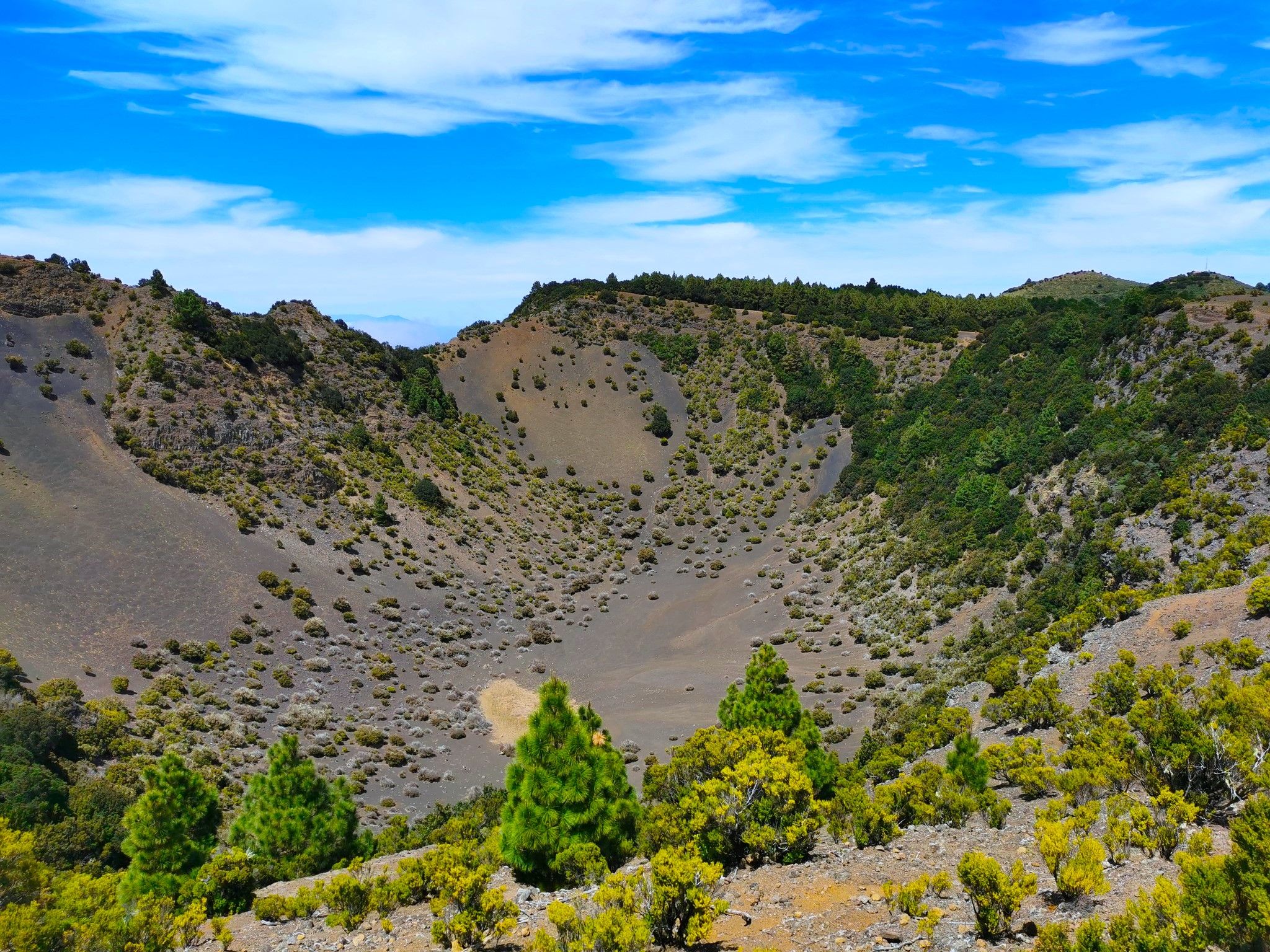
El Pinar de El Hierro offers stunning natural beauty. You might encounter dramatic gorges such as Barranco de Tiñor or Barranco del Borque. The island is also home to impressive peaks like Malpaso Peak, offering panoramic views. The unique twisted juniper trees of El Sabinar are another iconic natural feature you can explore.
Where can I find panoramic views during my ride?
El Pinar de El Hierro is renowned for its breathtaking viewpoints. Routes often pass by or near 'miradores' that offer spectacular vistas of the pine forests, coastline, and the Atlantic Ocean. The Montañita del Guachinche de Arriba, Raya de Binto, Mirador El Julan route, for instance, includes the Mirador Puente del Diablo and Garganta del Diablo, providing insight into the island's dramatic geological formations.
Are there any circular touring cycling routes in El Pinar De El Hierro?
Yes, several routes are designed as loops, allowing you to start and end in the same location. Examples include the Malpaso and El Sabinar Loop Trail, the Pineapple Plantation loop from Frontera, and the Bar El Pueblo – El Julán Viewpoint loop from Cercados Viejos. These circular routes are ideal for day trips.
What do other touring cyclists enjoy most about the no-traffic routes in El Pinar De El Hierro?
The komoot community highly rates the touring cycling experience in El Pinar De El Hierro, with an average score of 4.5 stars. Cyclists often praise the tranquility of the routes, the stunning panoramic views from the various miradores, and the unique transition from volcanic landscapes to dense pine forests. The lack of traffic allows for a truly immersive and peaceful ride.
What is the best time of year for touring cycling in El Pinar De El Hierro?
El Hierro enjoys a mild climate year-round, making it suitable for touring cycling in most seasons. However, the spring and autumn months (April-May and September-October) generally offer the most pleasant temperatures and stable weather conditions, avoiding the hotter summer days and potential winter rains. The higher elevations can be cooler and sometimes shrouded in mist, especially in cloud forests.
Are there family-friendly no-traffic cycling options?
While many routes in El Pinar de El Hierro involve significant elevation and are rated 'difficult', the Pineapple Plantation loop from Frontera is a moderate option that might be more suitable for families with some cycling experience. For younger children or less experienced riders, consider shorter sections of these routes or exploring local paths within villages, though dedicated 'easy' no-traffic routes are limited in this guide.
Is public transport an option to reach the starting points of these routes?
El Hierro has a public bus service that connects the main towns and some villages. While not all route starting points may be directly accessible by bus, it is possible to use public transport to get closer to certain areas. It's advisable to check the local bus schedules and routes in advance, especially if you plan to transport your bicycle, as space might be limited.
What about parking near the starting points of these touring cycling routes?
Parking availability varies by location. In larger villages like Frontera or near popular viewpoints, you can usually find designated parking areas. For more remote starting points, roadside parking might be an option, but always ensure you are parking legally and safely, without obstructing local access or traffic. It's recommended to check the specific starting point on a map for parking indications.
Are there places to eat or stay near the routes?
El Pinar de El Hierro offers various amenities for visitors. Charming villages like La Restinga, known for its fishing port, provide options for dining and accommodation. You'll find local restaurants, cafes, and guesthouses scattered across the municipality. It's a good idea to plan your route to pass through or near these villages for refreshment stops or overnight stays, especially on longer tours.
Most popular attractions around El Pinar De El Hierro

Get inspired with the komoot mobile app


