The best running trails around El Pinar De El Hierro
5.0
(3)
442
runners
47
runs
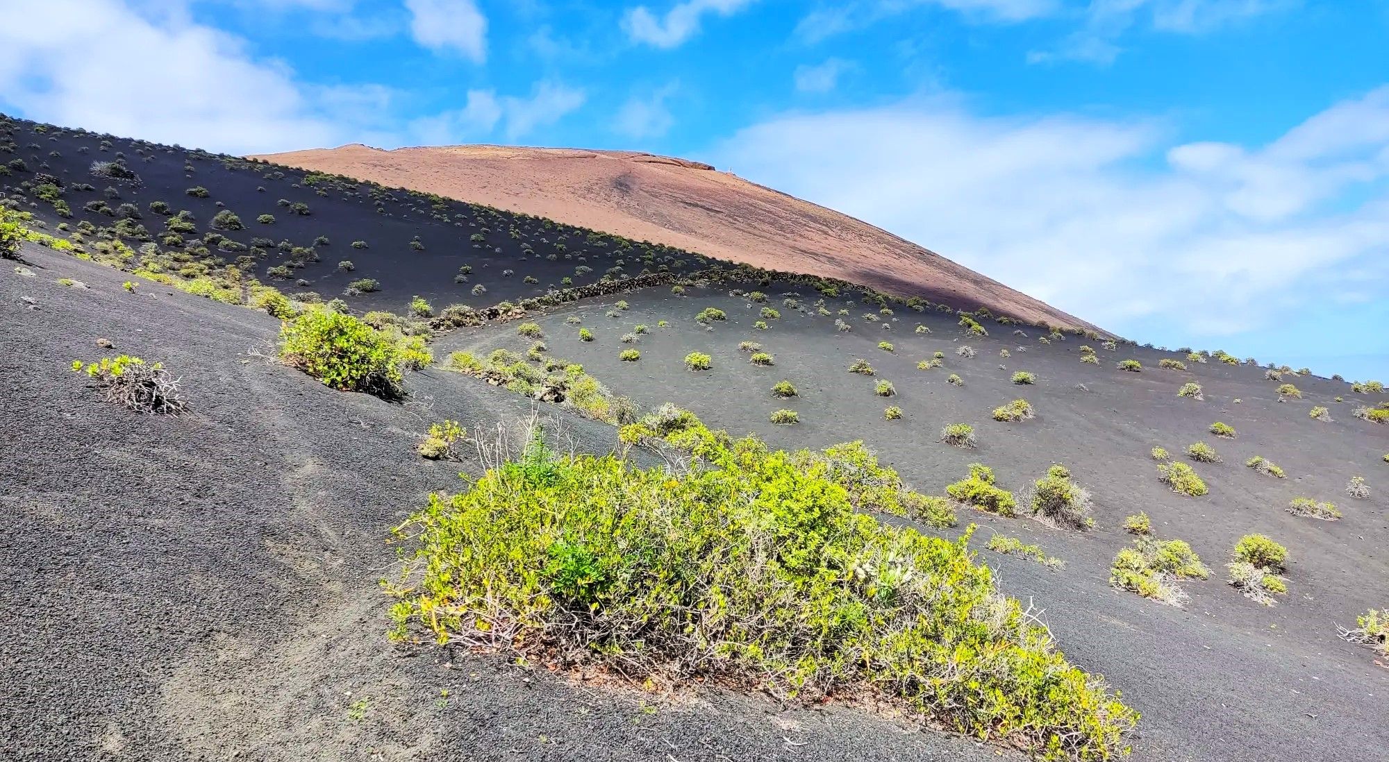
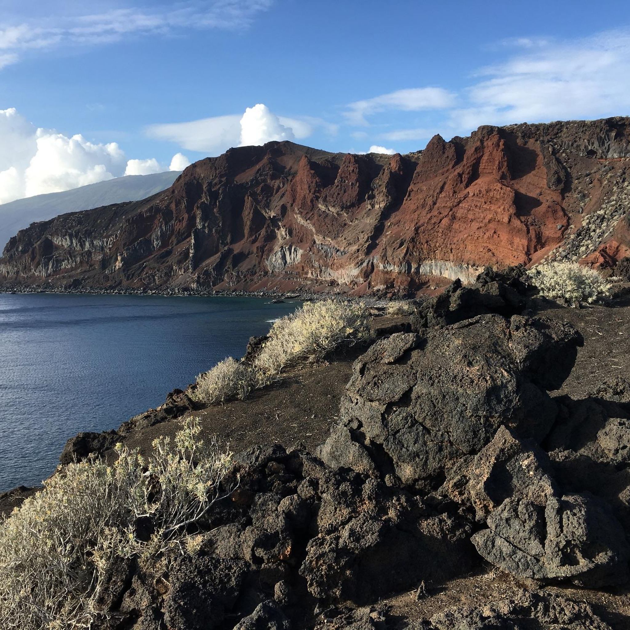
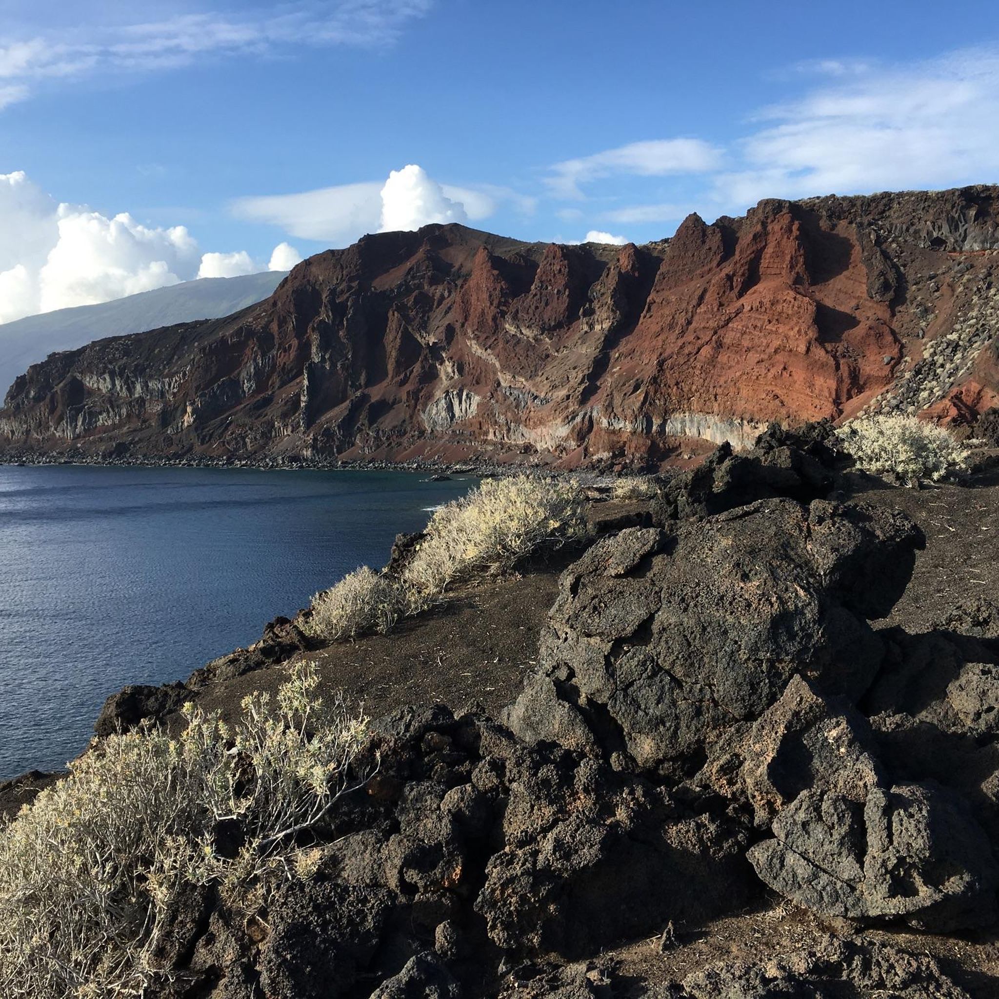
Jogging around El Pinar De El Hierro offers diverse terrain across extensive pine forests, volcanic landscapes, and dramatic coastal areas. The region features varied elevations, from sea level to over 1,500 meters, providing moderate ascents and descents suitable for trail running. This unique setting, characterized by the contrast between dark volcanic soil and lush green forests, creates a captivating environment for runners. The municipality is recognized for its tranquil, unspoilt nature, making it an ideal destination for outdoor activities.
Best…
Last updated: July 7, 2026
1
runners
7.68km
00:57
240m
240m
Moderate run. Good fitness required. Mostly paved surfaces. Suitable for all skill levels.
6.01km
00:48
230m
230m
Jog this moderate 3.7-mile trail from La Restinga to Pozo de la Salud, gaining 769 feet through volcanic landscapes and ocean views.

Sign up for free
5.0
(1)
37
runners
10.9km
01:23
210m
220m
Hard run. Good fitness required. Sure-footedness, sturdy shoes and alpine experience required.
31
runners
30.5km
03:44
960m
960m
Hard run. Very good fitness required. Mostly accessible paths. Some sure footedness required.
11
runners
7.70km
00:59
190m
190m
Moderate run. Good fitness required. Mostly accessible paths. Some sure footedness required.
Get access to more routes and recommendations from other explorers.
Sign up for free
Already have an account?
Our route recommendations are based on thousands of hikes, rides, and runs completed by other people on komoot.
Start today with a free account
Your next adventure awaits.
Login or Signup


Tips from the Community

"Rainforest" is more commonly found in other regions. Here it is "cloud forest," due to the condensing trade wind clouds.
0
0
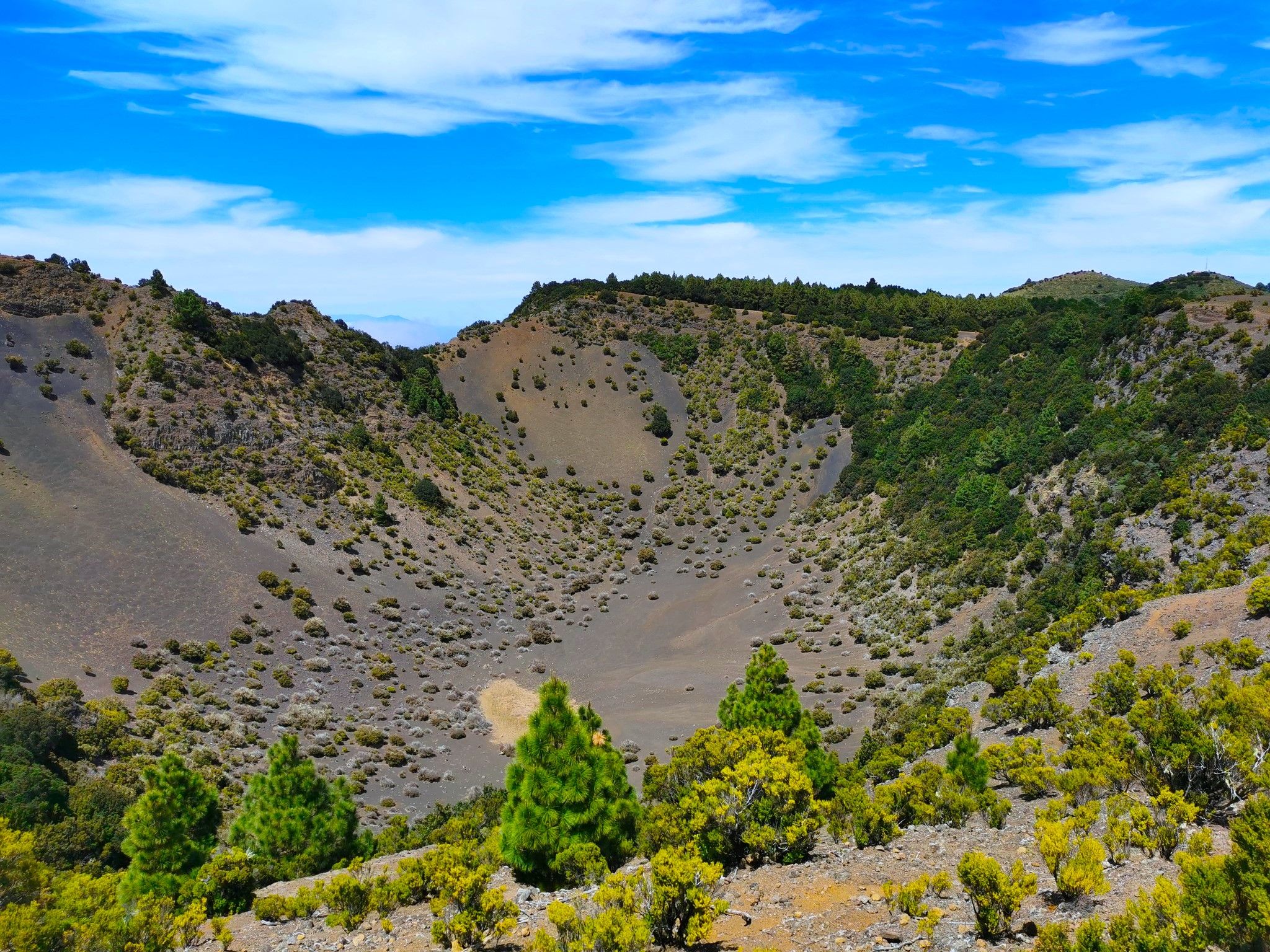
Very nice view into a very Canary Islands-typical volcanic crater
0
0

The westernmost point in antiquity
0
0
Monumento al Meridiano. Here you find yourself at the westernmost point of antiquity.
0
0

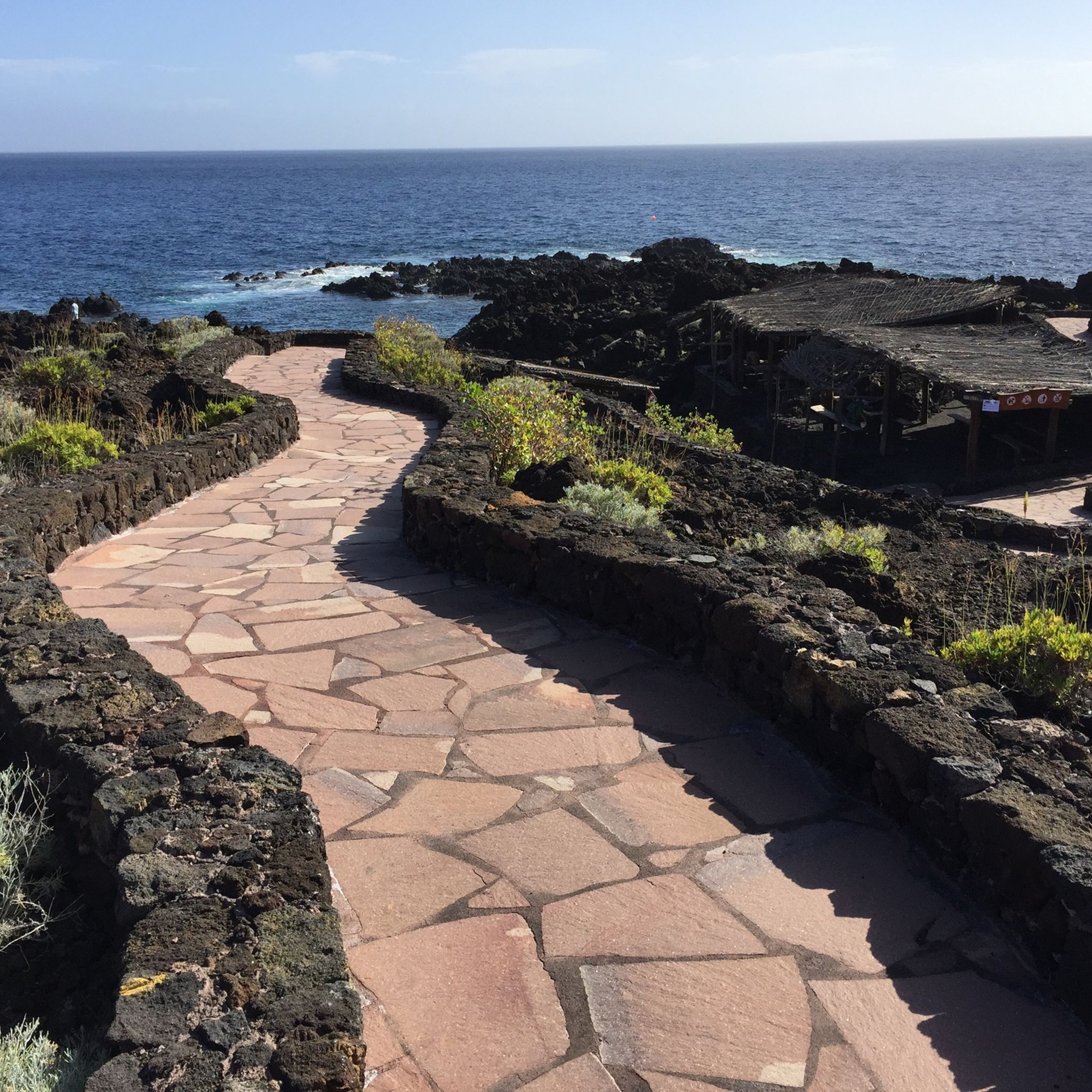
In this place, you will find a charming fountain fed by a crystalline spring, surrounded by leafy trees. In addition, there is an informative sign that details more about this beautiful natural corner.
0
0

https://www.youtube.com/watch?v=xMrlVQ8QoZU One of the outstanding places in Spain to practice paragliding is the summit of Dos Hermanas, in the northwest of El Hierro. Flying on the southernmost island of the Canary archipelago is wonderful because it offers great conditions for it. The trade winds, the orientation of the terrain and the possibility of taking off at different heights make learning and acrobatics possible. In fact, the island has been holding a famous international paragliding rally for 20 years that attracts pilots from all over. Paragliding over the El Golfo Valley The best-known flight of El Hierro, that of the El Golfo Valley, has different heights at the summit of Dos Hermanas (Frontera). Both in the takeoff of 1,200 meters and in those of 1,000, 800 and 600 meters, there are thermoslope conditions that allow you to fly for hours and thus contemplate a spectacular landscape that begins at the Arenas Blancas beach and ends at the Salmor rocks. . The landing point is in Frontera, next to the bus station.
2
0
https://www.youtube.com/watch?v=Brchaxm-cPI https://www.youtube.com/watch?v=YN5Vd_6hAxI- Never leave waste of any kind in the environment, including cigarette butts. Food remains contribute to the proliferation of rodents and feral cats that pose a serious threat to wildlife. - Respect the animals, do not bother them or feed them. If you see an injured specimen, you can call the emergency number 112. Also do not pluck flowers or plants. - Do not collect or take stones or any other element from the natural environment. Nor do you modify it by piling them up to make the sadly famous “towers.” - Do not practice sports activities outside the permitted areas.
3
0
https://www.youtube.com/watch?v=wBb_L8WeVfg The Malpaso volcano is the highest point on the island of El Hierro. Malpaso has a height of approximately 1,501 meters above sea level. Although it is a volcano, Malpaso has been dormant for many years. The island of El Hierro, in general, is known for its volcanic activity, the most recent being the underwater eruption near La Restinga in 2011. There are several routes leading to the top, offering stunning views of the island and, on clear days, the neighboring islands. The area around Malpaso is rich in flora and fauna, including endemic species and laurel forests, a type of subtropical humid forest that is rare and protected. From the top, you can get panoramic views of the entire island, including the coastline and the Atlantic Ocean. On clear days, you can see the neighboring islands of La Palma, La Gomera and Tenerife.
2
0
Frequently Asked Questions
How many running routes are available in El Pinar de El Hierro?
El Pinar de El Hierro offers a comprehensive network of over 35 running routes. These trails cater to various preferences, ranging from easy jogs to more demanding trail challenges, ensuring there's something for every runner.
What kind of terrain can I expect on the jogging trails in El Pinar de El Hierro?
You'll encounter a diverse range of terrains, from extensive pine forests offering shaded paths to unique volcanic landscapes. Many routes also feature dramatic coastal views, with elevations varying from sea level to over 1,500 meters, providing a mix of moderate ascents and descents.
Are there easy running routes suitable for beginners in El Pinar de El Hierro?
Yes, there are a few easy running routes perfect for beginners or those looking for a relaxed jog. These trails often traverse the tranquil pine forests, providing a gentle introduction to the region's natural beauty.
Can I find challenging trail runs in El Pinar de El Hierro?
Absolutely. For experienced trail runners, El Pinar de El Hierro boasts over 20 difficult routes. A notable challenging option is the Malpaso Peak – La Llanía Trail loop from Fuente de la Llanía, which covers over 30 kilometers and features significant elevation changes, offering a rewarding test of endurance.
Which running routes offer the best panoramic views?
Many routes in El Pinar de El Hierro provide spectacular views. Consider trails that pass by viewpoints like Mirador de Tanajara, offering extensive vistas of pine forests and the Atlantic, or Mirador de Bascos, which overlooks the magical Frontera Valley. The La Llanía Trail – Dos Hermanas Viewpoint loop from Fuente de la Llanía is also known for its scenic viewpoints.
Are there any circular running routes in El Pinar de El Hierro?
Yes, the region offers several excellent circular running routes. For instance, the La Llanía Trail – Dos Hermanas Viewpoint loop from Fuente de la Llanía is a popular choice, leading through lush forests and to scenic overlooks. Another option is the Pilot Pine – Old pine tree loop from Montaña de Juan León, which is a moderate 7.7 km trail.
What unique natural attractions can I see while running in El Pinar de El Hierro?
El Pinar de El Hierro is rich in unique natural attractions. You can run through the iconic El Sabinar forest, home to ancient juniper trees twisted by trade winds, or explore areas with striking volcanic formations like El Lajial. The region is also a World Biosphere Reserve, ensuring unspoilt nature throughout your run.
What do other runners say about the trails in El Pinar de El Hierro?
The running routes in El Pinar de El Hierro are highly regarded by the komoot community, holding an average rating of 5.0 stars. Runners frequently praise the tranquil, unspoilt nature, the diverse terrain, and the well-maintained network of trails that cater to all ability levels.
Are there any historical or cultural landmarks along the running routes?
Yes, some routes offer glimpses of historical significance. For example, the Old Meridian Zero and Orchilla Lighthouse from Punta Orchilla trail provides views of the historic Orchilla Lighthouse. Additionally, you might find highlights like the Observatorium or the Guinea Ecomuseum and Lizardarium near some trails, offering a cultural stop.
What is the best time of year for jogging in El Pinar de El Hierro?
El Hierro generally enjoys a mild climate year-round, making it suitable for jogging in most seasons. However, the extensive pine forests offer welcome shade during warmer months, while the varied terrain can be enjoyed in cooler periods. It's always advisable to check local weather forecasts before heading out.
Are there any coastal running paths in El Pinar de El Hierro?
Yes, the region's coastline provides refreshing running options. The La Restinga - Pozo de la Salud Trail is a moderate path that follows the coastline, showcasing volcanic formations and offering beautiful sea views.
What makes El Pinar de El Hierro an ideal destination for outdoor activities like running?
El Pinar de El Hierro is renowned for its incomparable tranquility and unspoilt nature. As a World Biosphere Reserve and Geopark, it offers a unique blend of extensive pine forests, volcanic terrains, and dramatic coastal views, all within a well-maintained trail network. This peaceful and authentic environment makes it perfect for outdoor enthusiasts seeking a connection with nature.
Most popular attractions around El Pinar De El Hierro

Get inspired with the komoot mobile app


