The best road cycling routes in the Markagunt Plateau
4.8
(8)
361
riders
22
rides
Road cycling in the Markagunt Plateau offers diverse landscapes across its high-elevation forested highlands, characterized by alpine forests and volcanic features. The plateau includes striking red rock formations, hoodoos, and deep canyons, particularly within Cedar Breaks National Monument. Volcanic activity has shaped the terrain, leaving cinder cones and lava flows that create unique visual contrasts. Scenic byways wind through varied terrain, providing both challenging climbs and descents.
Best road cycling routes in the Markagunt Plateau
- The most popular road cycling…
Last updated: July 7, 2026
15
riders
19.5km
01:06
360m
360m
Cycle a moderate 12.1-mile loop in Zion National Park, enjoying views of the Virgin River and iconic rock formations like the Watchman.
11
riders
72.4km
03:31
980m
980m
This difficult 45.0-mile road cycling route in Zion National Park offers dramatic scenery and a substantial 3213 feet of elevation gain.

Sign up for free
2
riders
16.8km
00:45
160m
160m
This easy 10.4 miles (16.8 km) road cycling loop in Cedar City offers scenic views along Coal Creek and the East Bench Trail.
54
riders
14.7km
00:44
140m
140m
Easy road ride. Great for any fitness level. Mostly well-paved surfaces and easy to ride.
15
riders
43.3km
01:50
270m
270m
Easy road ride. Great for any fitness level. Mostly well-paved surfaces and easy to ride.
4.0
(1)
15
riders
Easy road ride. Great for any fitness level. Mostly well-paved surfaces and easy to ride.
12
riders
31.7km
01:49
750m
750m
Moderate road ride. Good fitness required. Mostly well-paved surfaces and easy to ride.
6
riders
16.5km
00:48
180m
180m
Moderate road ride. Great for any fitness level. Some segments of this route may be unpaved and difficult to ride.
11
riders
42.8km
01:46
240m
240m
Easy road ride. Great for any fitness level. Mostly well-paved surfaces and easy to ride.
6
riders
Easy road ride. Great for any fitness level. Mostly well-paved surfaces and easy to ride.
Get access to more routes and recommendations from other explorers.
Sign up for free
Already have an account?
Our route recommendations are based on thousands of hikes, rides, and runs completed by other people on komoot.
Start today with a free account
Your next adventure awaits.
Login or Signup
Popular around Markagunt Plateau
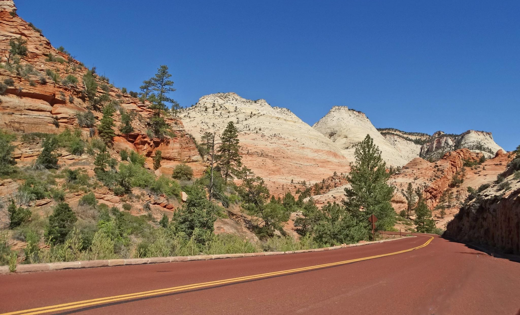
Red Rock to High Country loop — Riding from desert floors to canyon walls

Canyons, Plateaus and Hoodoos – discover Southwest USA
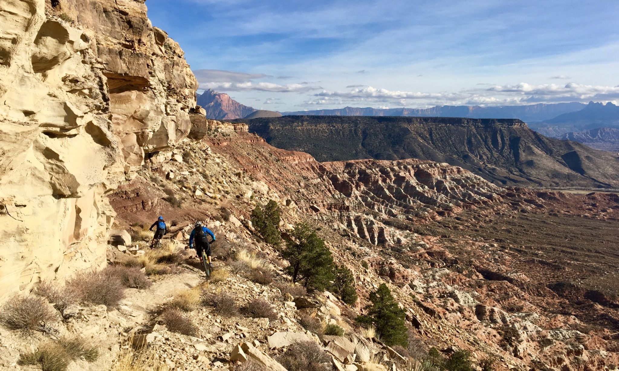
Mountain biking at the gates of Zion National Park
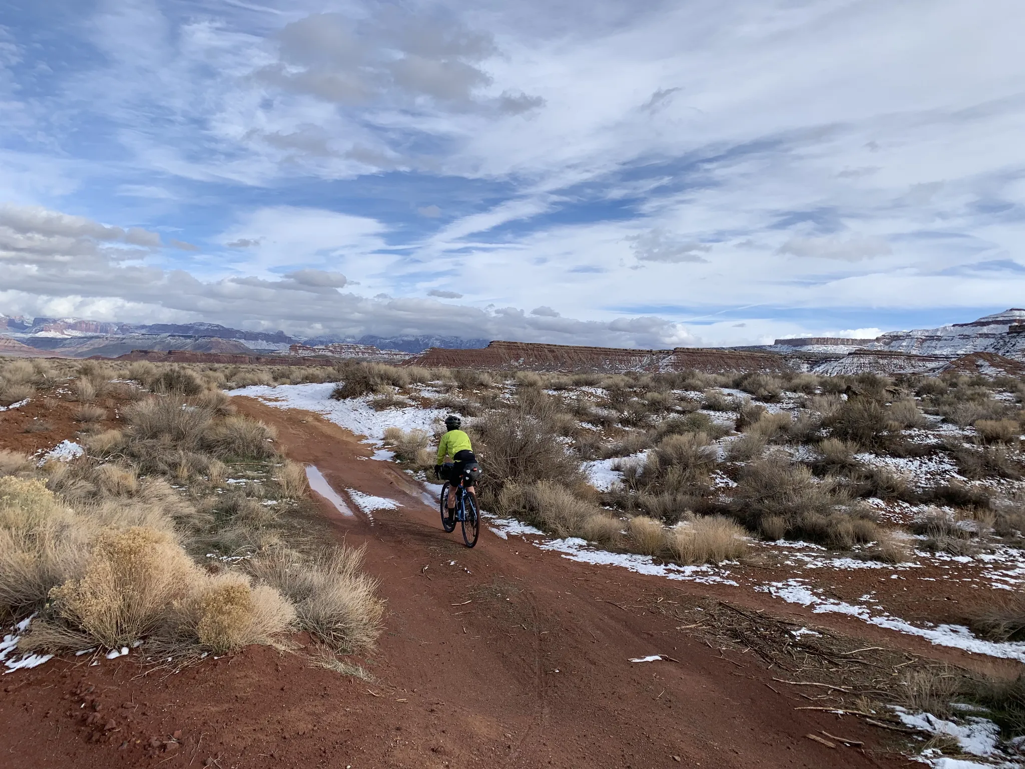
The girls of the desert — Gravel between Las Vegas and Zion

Unforgettable MTB Adventures – IMBA Epic Trails in USA and Canada
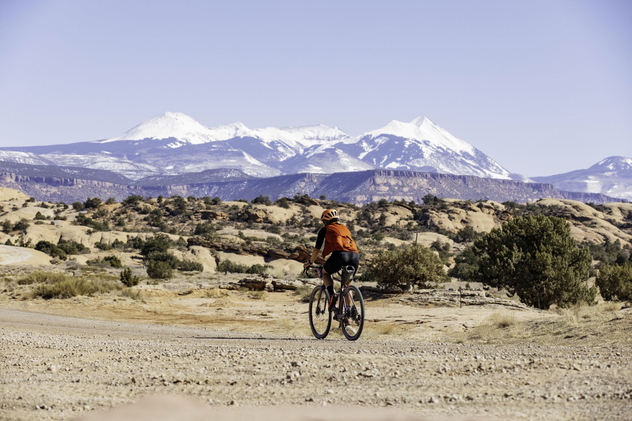
My Utah road trip: trail running and gravel riding in the mountains

The pristine beauty of the US National Parks
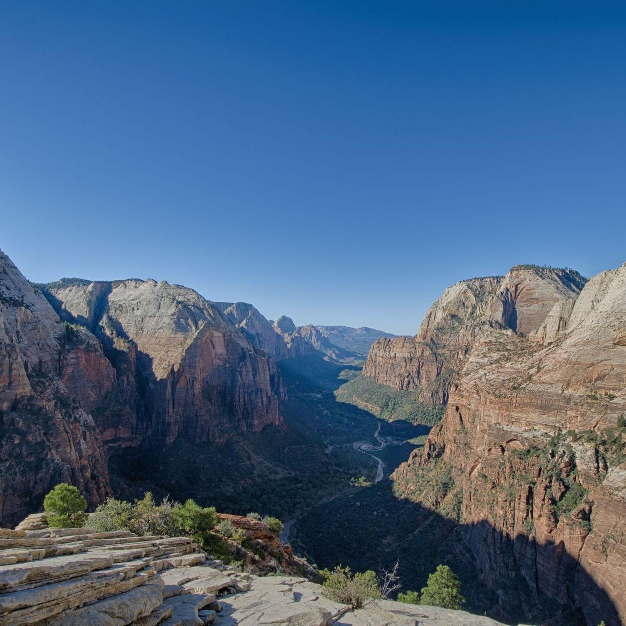
Hiking in the Markagunt Plateau
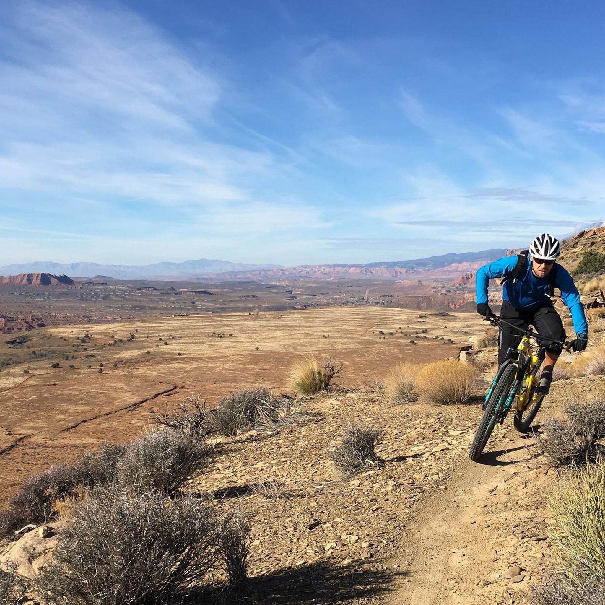
MTB Trails in the Markagunt Plateau
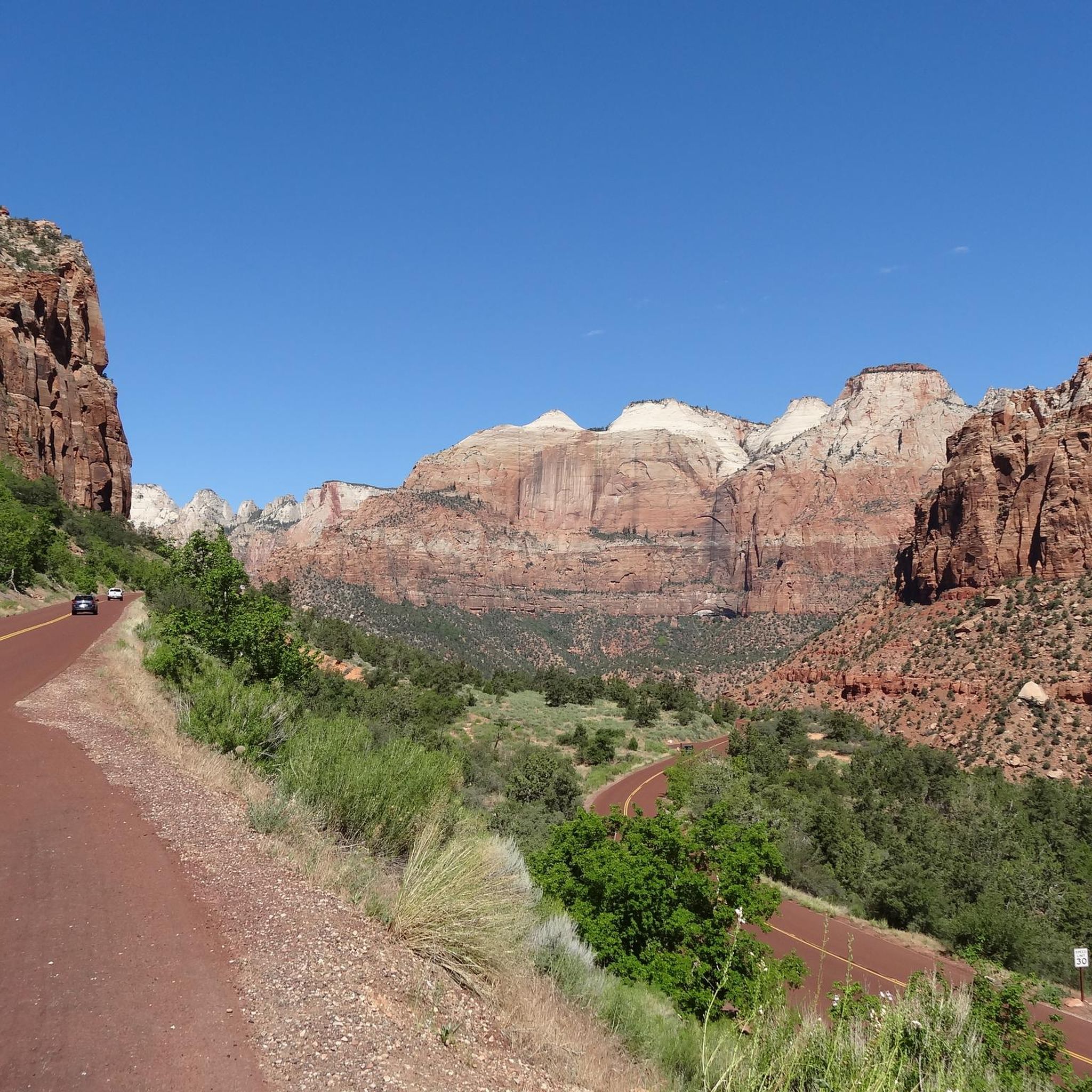
Cycling in the Markagunt Plateau
Other adventures in the Markagunt Plateau


Tips from the Community


The Zion Canyon Trail is one of the most relaxed and scenic ways to ride near the park, offering a smooth paved path that winds through cottonwoods and red-rock walls without the stress of traffic. It’s flat, family-friendly, and perfect for spinning out your legs before or after a big climb. Expect crowds near Springdale during peak hours, but once you’re on the path, it’s a calm and beautiful ride with plenty of spots to pull over and take in the views.
0
0

There is a small pull-off on the side of the main road, which is a great place to stop and admire the valley. You can see a variety of remarkable rock formations, and you might see climbers on Lambs Knoll.
2
0
Cycling isn't allowed through the tunnel, and there is space to pull over off the road at the entrance. You can try to hitchhike through, or turn around and enjoy the switchbacks down the canyon.
0
0

It's best to park here or at the museum, as only park buses are allowed into the larger part where most hikes start. I would also recommend getting there as early as possible, as it fills up quickly, parking is difficult, and the paths are also crowded.
0
0

This park is a great spot to start and end your ride while you explore the Zion area. There's water, toilets, shady areas, and the river to cool down in.
0
0
Kolob Terrace Road leads to the upper section of Zion National Park, offering stunning scenic views along the ride. The road has a steady incline and transitions to gravel, so be ready for a challenging climb.
0
0
This is a smooth paved trail following the river all the way. It’s a perfect trail to contemplate the landscape and see the different layers of rock that form the canyon. Along the way, you can find informative boards explaining the geology.
0
0
Frequently Asked Questions
What kind of terrain can I expect when road cycling in the Markagunt Plateau?
The Markagunt Plateau offers incredibly diverse terrain for road cyclists. You'll encounter high-elevation forested highlands with fir, spruce, and quaking aspen, especially above 7,500 feet. The region also features unique volcanic landscapes with cinder cones and lava flows, creating stark visual contrasts. Additionally, parts of the plateau, particularly near Cedar Breaks National Monument, showcase stunning red rock formations and hoodoos, similar to Bryce Canyon National Park. Expect challenging climbs and exhilarating descents on winding roads through narrow canyons and open vistas.
Are there road cycling routes suitable for beginners or families in the Markagunt Plateau?
Yes, the Markagunt Plateau offers routes for various skill levels. For beginners or families, there are easier options like the Coal Creek and East Bench Trail Loop, which is 10.4 miles long with a moderate elevation gain of 509 feet. Another easy route is the Pa'rus Trail loop from Springdale, covering 8.0 miles with only 59 feet of elevation gain. These routes provide a gentler introduction to the region's beauty.
What are some challenging road cycling routes in the Markagunt Plateau for experienced riders?
Experienced road cyclists looking for a challenge will find plenty to test their limits. The Tabernacle Dome & Lambs Knoll route is a difficult 44.9-mile path with a substantial elevation gain of 3,213 feet. The region is also known for its scenic byways, such as the Patchwork Parkway (Utah Highway 143), which features climbs of approximately 4,500 feet in under 20 miles, cresting at over 10,000 feet near Cedar Breaks National Monument.
What are the best times of year to go road cycling in the Markagunt Plateau?
The best time for road cycling in the Markagunt Plateau is generally from late spring through early autumn. During these months, the weather is most favorable, offering crisp mountain air and clear skies. Autumn is particularly stunning, as the quaking aspen leaves turn golden, providing a vibrant contrast to the red rock formations and dark lava fields. Due to the high elevation, some routes may be inaccessible or challenging during winter months due to snow.
Are there any notable natural features or landmarks to see along the road cycling routes?
Absolutely! The Markagunt Plateau is rich in natural wonders. You can cycle past Temple of Sinawava and experience the dramatic geological amphitheater of Cedar Breaks National Monument with its colorful sandstone and limestone formations. The region's volcanic history means you might also encounter fascinating lava fields and formations like Mammoth Cave, one of Utah's largest lava tubes, or Navajo Lake, formed by a lava flow. The View of the Watchman is another iconic sight.
What do other road cyclists say about their experience in the Markagunt Plateau?
The Markagunt Plateau is highly rated by the komoot community, with an average score of 4.8 stars. Reviewers often praise the diverse landscapes, from high-elevation forests to striking red rock formations and unique volcanic features. Many appreciate the challenging climbs and exhilarating descents, as well as the breathtaking panoramic views that make for an unforgettable cycling experience.
Are there any loop routes available for road cycling in the Markagunt Plateau?
Yes, there are several loop options. A notable challenging loop is the 90-mile route starting from Cedar City, which has been part of the Larry H. Miller Tour of Utah. This route takes riders through the Red Hills, Parowan Gap, and ascends the Markagunt Plateau, passing Navajo Lake and Cedar Breaks National Monument before descending back to Cedar City. For a shorter option, consider the Coal Creek and East Bench Trail Loop.
Are there any specific scenic byways recommended for road cycling in the Markagunt Plateau?
The Markagunt Plateau is home to several stunning scenic byways perfect for road cycling. The Markagunt High Plateau Scenic Byway (Utah Highway 14) offers diverse landscapes, while the Patchwork Parkway National Scenic Byway (Utah Highway 143) provides significant elevation gains and passes through Brian Head. The Cedar Breaks Scenic Byway (Utah Highway 148) is shorter but offers spectacular views of Cedar Breaks National Monument.
What is the typical length and elevation gain for road cycling routes in this region?
The road cycling routes in the Markagunt Plateau vary significantly in length and elevation gain. You can find shorter, easier routes like the Pa'rus Trail loop from Springdale at 8.0 miles with 59 feet of elevation gain. On the more challenging end, routes like Tabernacle Dome & Lambs Knoll stretch for 44.9 miles with an impressive 3,213 feet of climbing. The average route length is around 20-30 miles, with elevation gains often ranging from a few hundred to over a thousand feet, reflecting the plateau's mountainous nature.
Are there any specific parking areas or trailheads for road cyclists in the Markagunt Plateau?
While specific parking areas for each route are best checked on individual komoot tour pages, many routes in the Markagunt Plateau originate from towns like Cedar City or Springdale, or near popular attractions like Cedar Breaks National Monument. These locations typically offer designated parking facilities. For routes within national parks or monuments, follow their specific parking guidelines.
Can I find places to eat or stay near the road cycling routes in the Markagunt Plateau?
Yes, you can find amenities in and around the Markagunt Plateau. Towns like Cedar City, Springdale (near Zion National Park), and Duck Creek Village offer various options for cafes, restaurants, and accommodation. Brian Head also has resort facilities. It's advisable to plan your route and check for services in advance, especially when venturing into more remote sections of the plateau.
Are permits required for road biking on trails in the Markagunt Plateau?
Generally, permits are not required for road cycling on public roads and scenic byways within the Markagunt Plateau. However, if your route takes you into specific areas like Zion National Park or Cedar Breaks National Monument, standard entrance fees for the park or monument may apply. Always check the official websites for these protected areas for the most current information on fees and regulations.
Most popular routes in the Markagunt Plateau
Most popular attractions in the Markagunt Plateau

Get inspired with the komoot mobile app


Explore more
Browse the best Road cycling routes in other regions.
