The best gravel rides in the Markagunt Plateau
5.0
(1)
27
riders
5
rides
Gravel biking in the Markagunt Plateau offers diverse landscapes shaped by volcanic activity and high-elevation forests. The region features over 25 cinder cones, ancient lava flows, and basaltic fields, providing unique riding terrain. Extensive trail systems within Dixie National Forest and near Cedar Breaks National Monument traverse alpine forests of fir, spruce, and quaking aspen. The plateau's elevation, ranging from 9,000 to 11,000 feet, provides cooler conditions and scenic views.
Best gravel bike trails in the Markagunt Plateau
- The most…
Last updated: August 18, 2026
12.2km
00:59
80m
80m
Hard gravel ride. Great for any fitness level. You may need to push your bike for some segments of this route.
5.0
(1)
19
riders
53.4km
04:25
900m
900m
Hard gravel ride. Very good fitness required. Mostly paved surfaces. Suitable for all skill levels.

Sign up for free
5
riders
21.3km
01:40
230m
230m
Moderate gravel ride. Good fitness required. Mostly paved surfaces. Suitable for all skill levels.
2
riders
59.3km
05:08
1,380m
1,380m
Hard gravel ride. Very good fitness required. Mostly paved surfaces. Suitable for all skill levels.
1
riders
33.9km
02:48
760m
760m
Hard gravel ride. Very good fitness required. Mostly paved surfaces. Suitable for all skill levels.
Our route recommendations are based on thousands of hikes, rides, and runs completed by other people on komoot.
Start today with a free account
Your next adventure awaits.
Login or Signup
Popular around Markagunt Plateau
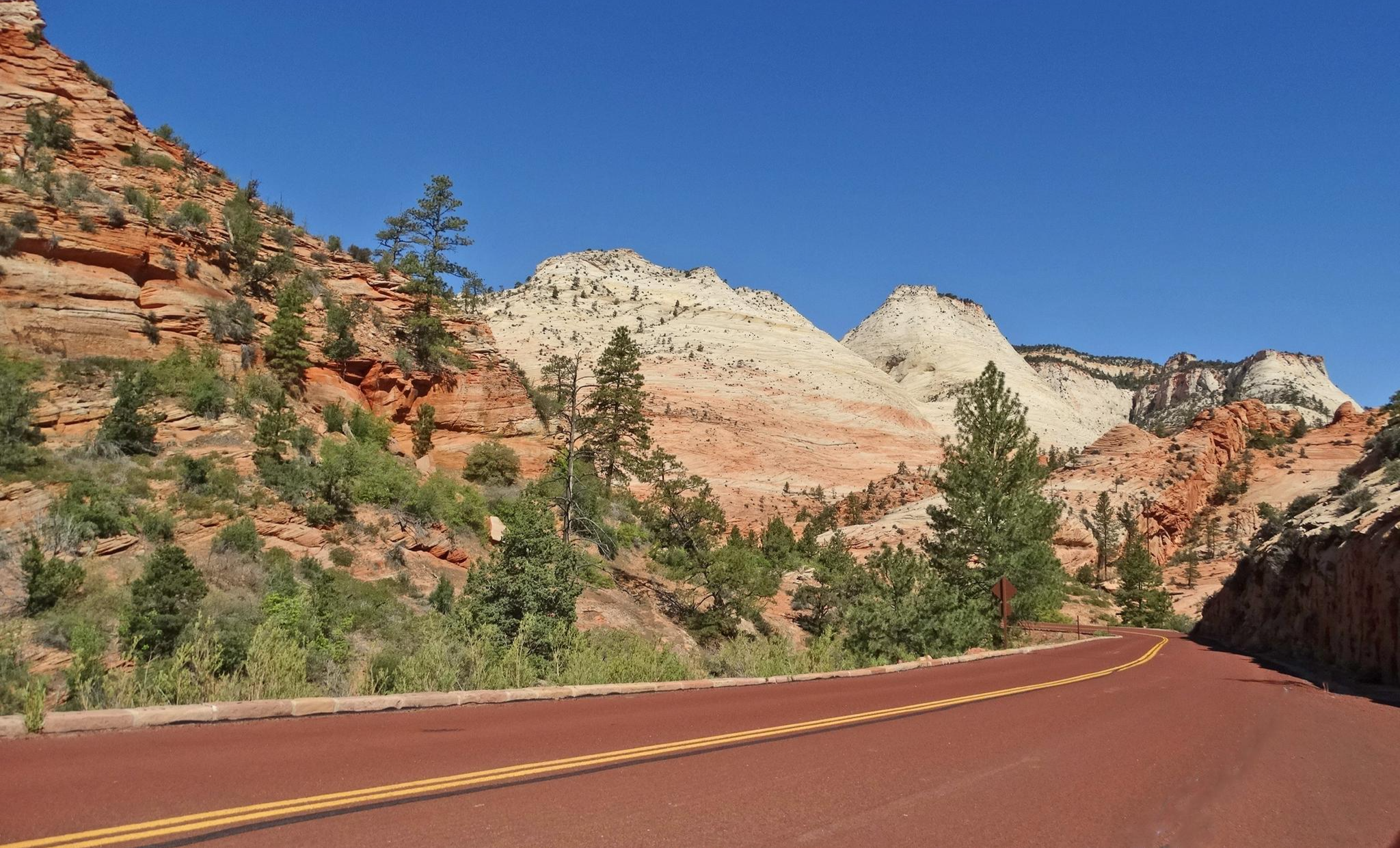
Red Rock to High Country loop — Riding from desert floors to canyon walls

Canyons, Plateaus and Hoodoos – discover Southwest USA
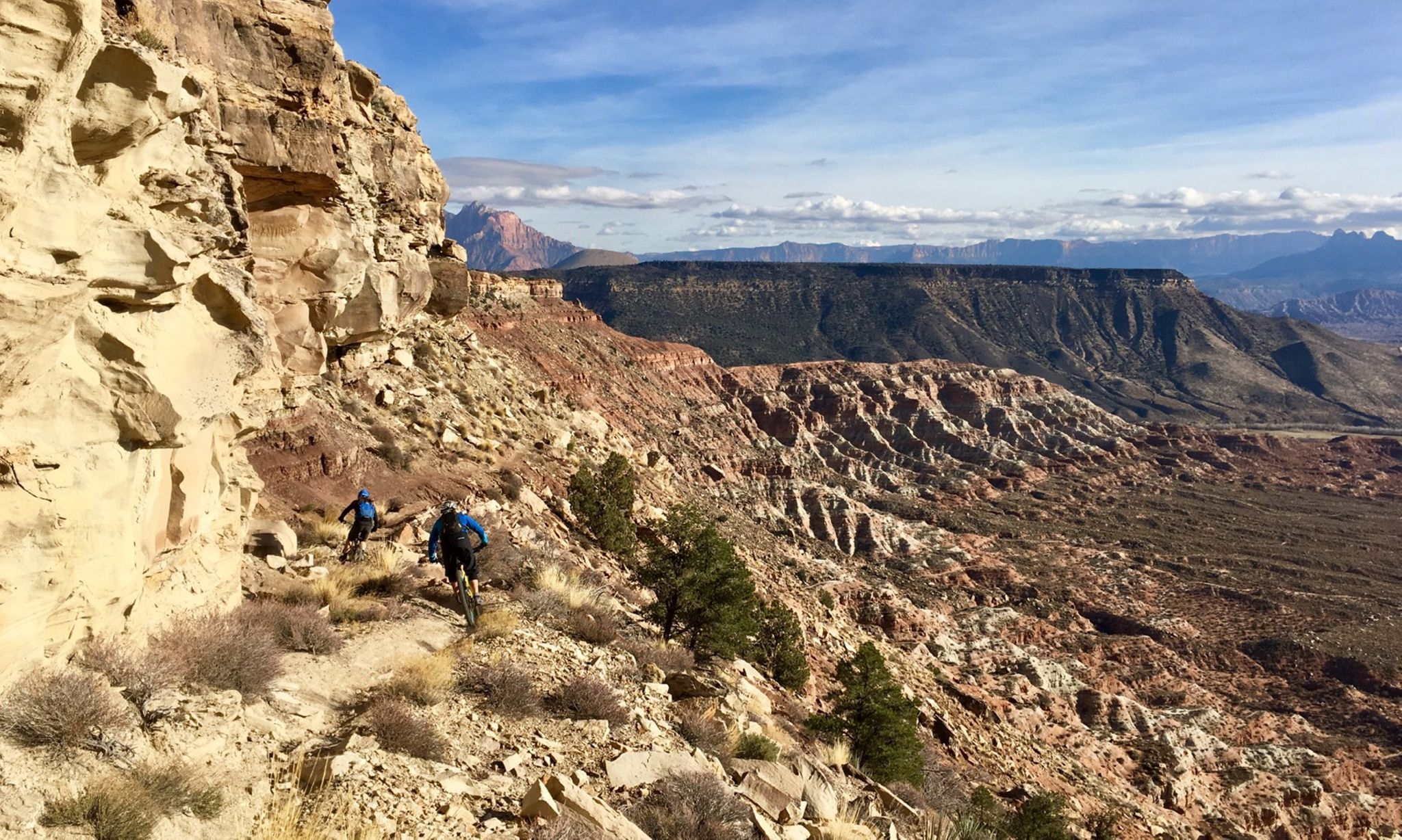
Mountain biking at the gates of Zion National Park
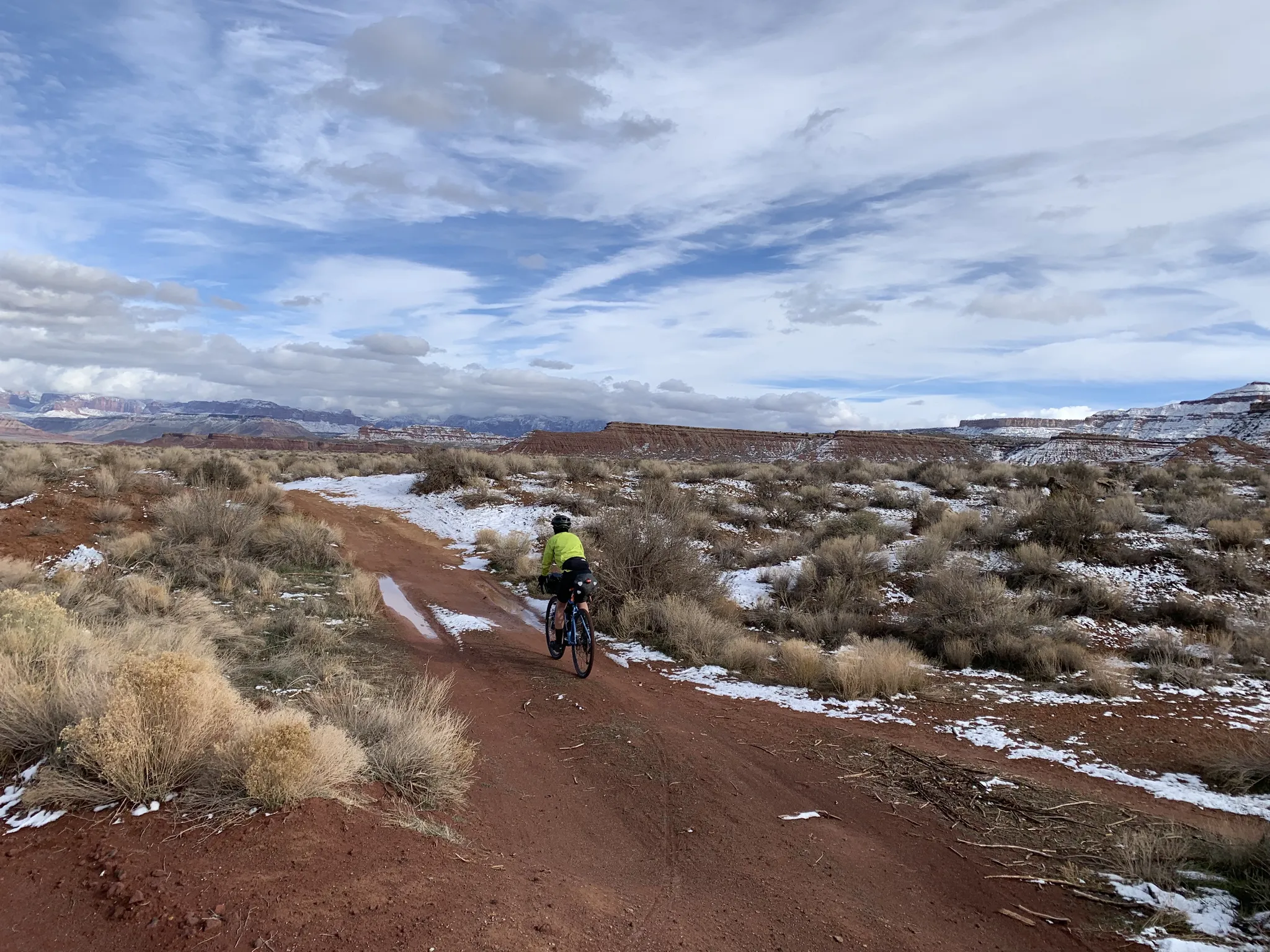
The girls of the desert — Gravel between Las Vegas and Zion

Unforgettable MTB Adventures – IMBA Epic Trails in USA and Canada
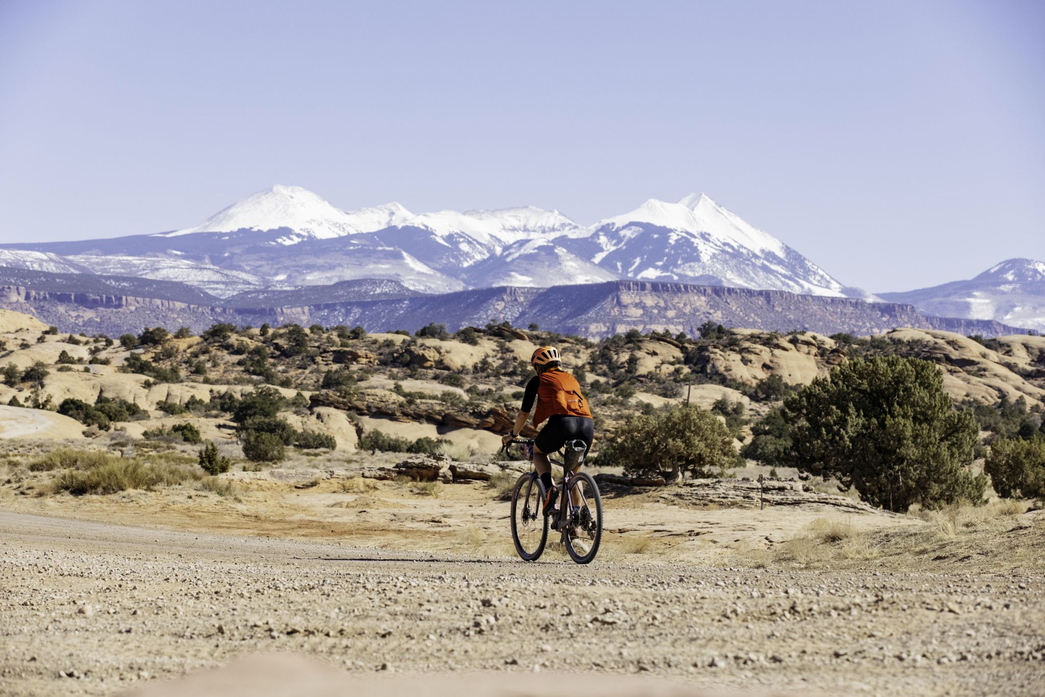
My Utah road trip: trail running and gravel riding in the mountains

The pristine beauty of the US National Parks
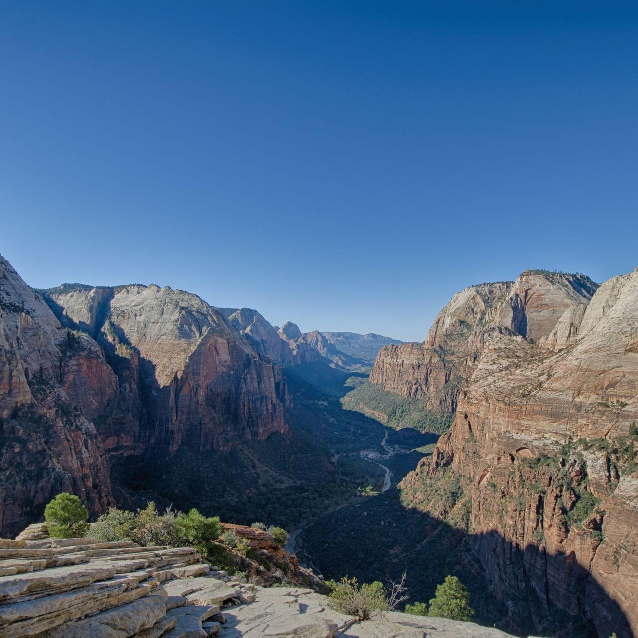
Hiking in the Markagunt Plateau
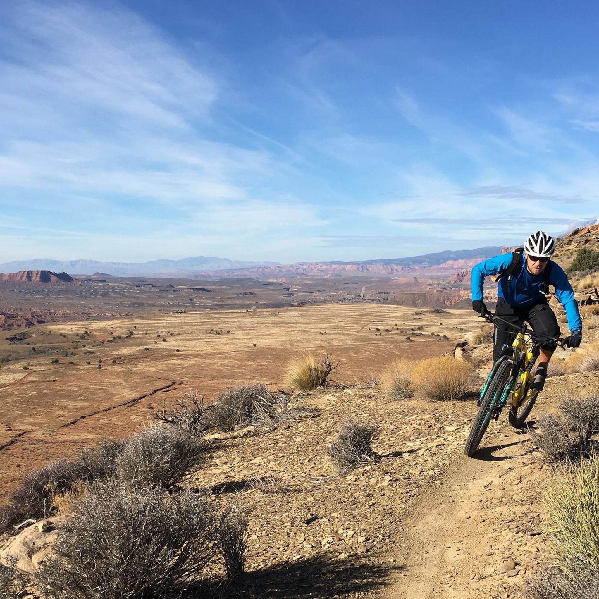
MTB Trails in the Markagunt Plateau
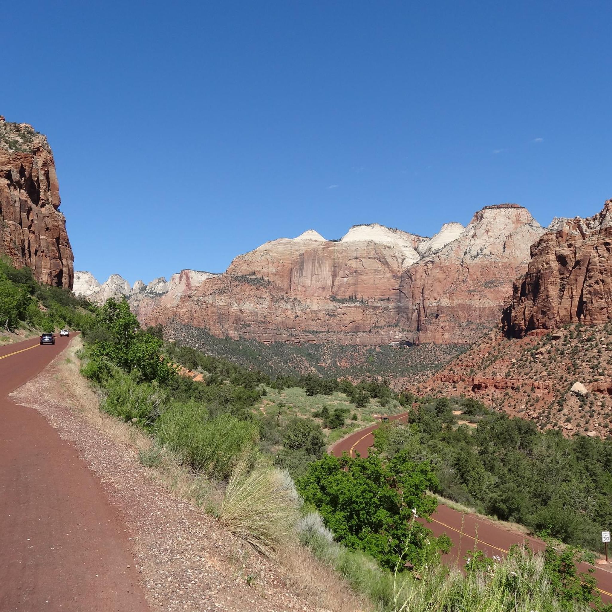
Cycling in the Markagunt Plateau
Other adventures in the Markagunt Plateau


Tips from the Community

Kolob Terrace Road leads to the upper section of Zion National Park, offering stunning scenic views along the ride. The road has a steady incline and transitions to gravel, so be ready for a challenging climb.
0
0

The singletrack loop around this lake is one of the most popular trails in Dixie National Forest. You have some altitude here — the lake sits at more than 9,000 feet in elevation — but the trail is only somewhat technical, so it's reasonably accessible for a lot of riders.
0
0
Kanarra Mountain Road is a dirt road that provides a steady climb with some rough sections. It's a good option for those seeking for a mix of gravel and rocky terrain. Be prepared for some steep grades and carry plenty of water, as there are limited amenities along the route.
0
0

Located right along Gap Road, the sandstone at this spot is filled with petroglyphs. There is a small parking lot where you can pull off the road and get a closer look at the petroglyphs.
0
0
Great place to pull off UT 143 to get a great view of the Kodachrome Basin. There is a small parking area, but no benches or restrooms here.
0
0
Cedar City is a small community located in a valley surrounded by canyons. East Bench Trail goes around the city and offers views to the surrounding mountains and canyons. This can be a good hike during winter, as other trails can be covered by snow, this one offers a relaxing walk on a paved surface with scenic views of the snow covering the surroundings.
1
0
Sidney Peak is a small summit, easily accessible by a well-marked trail. The Peak offers an expansive view of the forest and red mountains in the background. It has a false summit, so make sure to go a little bit up the trail to get the views.
0
0
This viewpoint gives a panoramic view of Cedar City and its surroundings. There are informative boards along the overlook telling the history of the city.
0
0
Frequently Asked Questions
How many gravel bike trails are available in the Markagunt Plateau?
The Markagunt Plateau offers a selection of 4 gravel biking routes, ranging from moderate to difficult. These trails allow you to explore the region's unique volcanic landscapes and high-elevation forests.
What is the best time of year for gravel biking in the Markagunt Plateau?
The most suitable seasons for gravel biking in the Markagunt Plateau are summer and fall. Due to the high elevation (9,000 to 11,000 feet), snow can block trails and roads well into June. Summer offers cooler temperatures, while fall provides stunning yellow foliage from the aspen groves.
What kind of terrain can I expect on gravel bike trails in the Markagunt Plateau?
You'll encounter diverse terrain shaped by volcanic activity, including blocky, sparsely vegetated basaltic fields and over 25 cinder cones. Many routes follow graded gravel forest service roads, but some sections may feature 'punchy' climbs with inconsistent gradients and patches of slick rock. High-elevation forests of fir, spruce, and quaking aspen are also common.
Are there any loop trails for gravel biking in the Markagunt Plateau?
Yes, several routes in the Markagunt Plateau are designed as loops. For instance, the Navajo Lake Loop Trail circles the scenic Navajo Lake, and the North View Overlook – Sidney Peaks loop from Brian Head offers high-elevation views.
What are the typical difficulty levels for gravel biking routes here?
Gravel biking routes in the Markagunt Plateau generally range from moderate to difficult. While many sections are on well-graded gravel roads, the high elevation and occasional 'punchy' climbs contribute to the challenging nature of some trails. For example, the Parowan Gap Petroglyphs loop from Parowan Gap Petroglyphs is rated moderate, while the Navajo Lake Loop Trail is considered difficult.
What natural features or landmarks can I see while gravel biking in the Markagunt Plateau?
The Markagunt Plateau is rich in natural wonders. You can ride past ancient lava flows, cinder cones, and high-elevation forests. Nearby, you'll find dramatic geological formations reminiscent of Bryce Canyon at Cedar Breaks National Monument. Notable attractions include Zion National Park, Temple of Sinawava, and the scenic Navajo Lake, which was formed by a lava flow.
Are there any waterfalls accessible near the gravel biking routes?
Yes, the Markagunt Plateau is home to beautiful water features. The starting point of the Virgin River at Cascade Falls Overlook is an easy hike that can be incorporated into a biking trip. Other highlights include the Emerald Pools Trail and Kanarra Creek Canyon & Waterfalls.
Can I explore any unique geological sites like lava tubes?
Absolutely! The Markagunt Plateau's volcanic history means you can explore fascinating geological sites. Mammoth Cave, one of Utah's largest lava tubes, is easily accessible right off Dixie National Forest Service Road 64, offering an intriguing off-bike exploration opportunity.
What do other gravel bikers enjoy most about the Markagunt Plateau?
The Markagunt Plateau is highly rated by the komoot community, with an average score of 5.0 stars from over 1 review. Bikers often praise the unique volcanic landscapes, the cooler temperatures at high elevations, and the extensive network of forest service roads perfect for gravel riding.
Are there any family-friendly gravel biking options in the Markagunt Plateau?
While many routes are rated moderate to difficult, the Navajo Lake Loop Trail, though rated difficult, is a relatively shorter 7.6-mile loop around a scenic lake, which might be manageable for families with older, experienced riders. Always check the route details for elevation and terrain to ensure it suits your family's skill level.
Where can I find parking for gravel biking trailheads?
Many gravel biking routes in the Markagunt Plateau utilize forest service roads within Dixie National Forest. Parking is generally available at designated trailheads or along these roads. For specific routes like the Parowan Gap Petroglyphs loop from Parowan Gap Petroglyphs, parking is typically available at the attraction itself.
What should I pack for a gravel biking trip in the Markagunt Plateau?
Given the high elevation and varied terrain, it's advisable to pack layers of clothing, as temperatures can change quickly. Bring plenty of water, snacks, a repair kit for your bike, and navigation tools. Sun protection is also essential due to the altitude. For routes with 'punchy' climbs, consider your gearing.
Most popular routes in the Markagunt Plateau
Most popular attractions in the Markagunt Plateau

Get inspired with the komoot mobile app


