The best running trails in the Markagunt Plateau
5.0
(10)
912
runners
62
runs
Jogging in the Markagunt Plateau offers diverse terrain shaped by its volcanic history, featuring lava flows, cinder cones, and high-elevation forests. The region is characterized by a transition from juniper-pinyon woodlands to alpine forests of fir, spruce, and quaking aspen. Dramatic landscapes, including features like Cedar Breaks National Monument, provide a scenic backdrop for running. Its high elevation offers cooler conditions, making it suitable for outdoor activities during warmer months.
Best jogging routes in the Markagunt Plateau
- The most popular…
Last updated: July 7, 2026
2
runners
4.88km
00:37
90m
90m
Jog the easy 3.0-mile Nung’wu Poa (Paiute) Trail - Phase 2 in Springdale, offering views of Zion Canyon.
2
runners
11.0km
01:21
80m
80m
Jog the Margarita and Guacamole Trail Loop, a 6.8-mile moderate route with slickrock, singletrack, and views of the Virgin River and West Te

Sign up for free
1
runners
17.5km
02:09
250m
250m
Jog the difficult 10.9-mile Hurricane Rim and JEM Trail Loop, gaining 818 feet in elevation with views of the Virgin River Gorge.
8.72km
01:02
220m
220m
Jog this 5.4-mile moderate loop to Toquerville Falls, gaining 719 feet, and experience Southern Utah's scenic desert landscapes.
8.83km
01:15
320m
320m
Jogging the Grafton Mesa and More Money Loop is a very difficult 5.5-mile route with 1051 feet of gain, offering Zion views.
79
runners
6.23km
00:49
160m
160m
Moderate run. Good fitness required. Mostly paved surfaces. Suitable for all skill levels.
5.0
(2)
51
runners
10.0km
01:13
210m
210m
Moderate run. Good fitness required. Mostly paved surfaces. Suitable for all skill levels.
50
runners
6.87km
00:43
60m
60m
Moderate run. Good fitness required. Mostly paved surfaces. Suitable for all skill levels.
34
runners
9.48km
01:52
570m
570m
Hard run. Very good fitness required. Sure-footedness, sturdy shoes and alpine experience required.
39
runners
13.8km
01:28
150m
150m
Moderate run. Good fitness required. Mostly paved surfaces. Suitable for all skill levels.
Get access to more routes and recommendations from other explorers.
Sign up for free
Already have an account?
Our route recommendations are based on thousands of hikes, rides, and runs completed by other people on komoot.
Start today with a free account
Your next adventure awaits.
Login or Signup
Popular around Markagunt Plateau
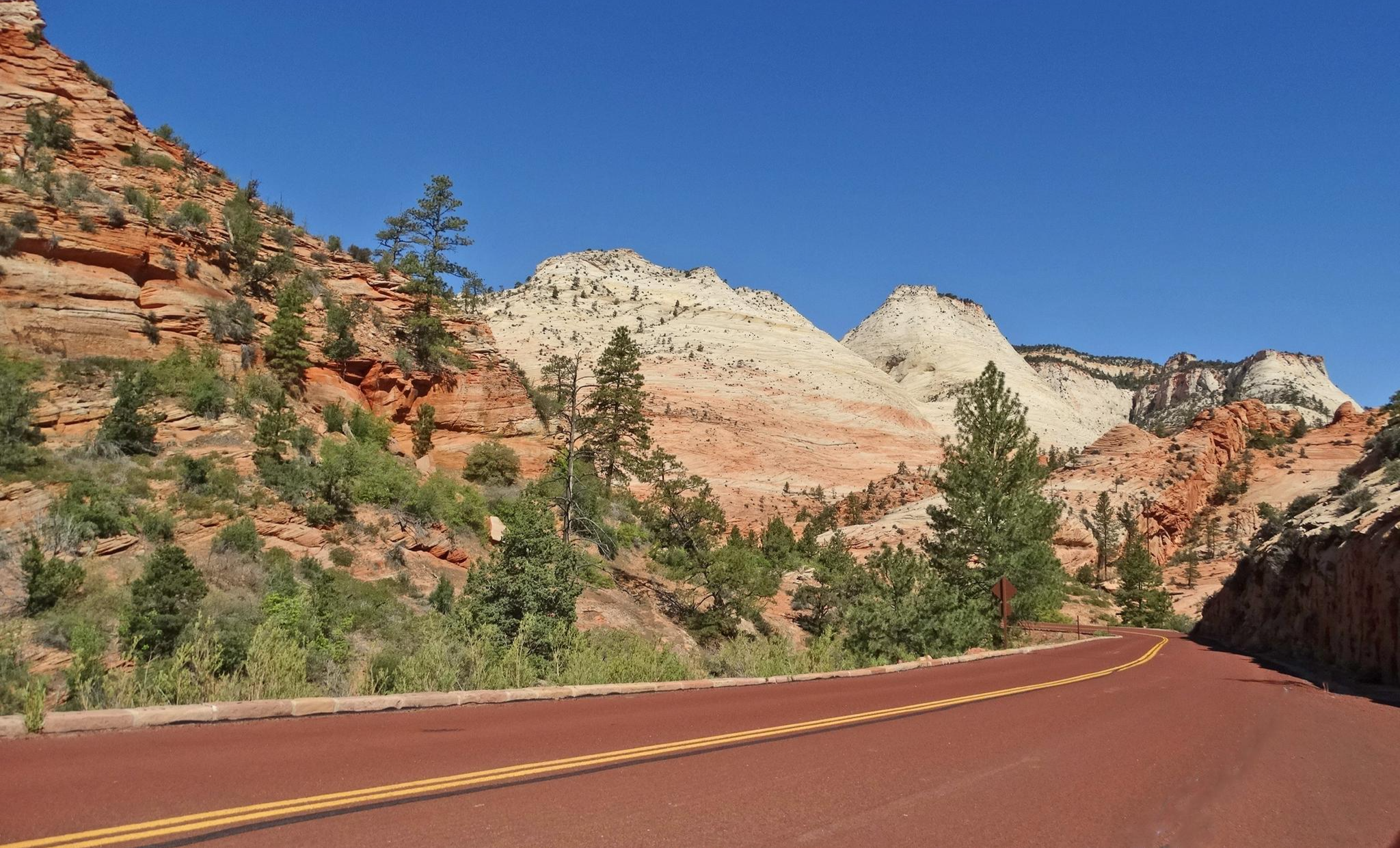
Red Rock to High Country loop — Riding from desert floors to canyon walls

Canyons, Plateaus and Hoodoos – discover Southwest USA
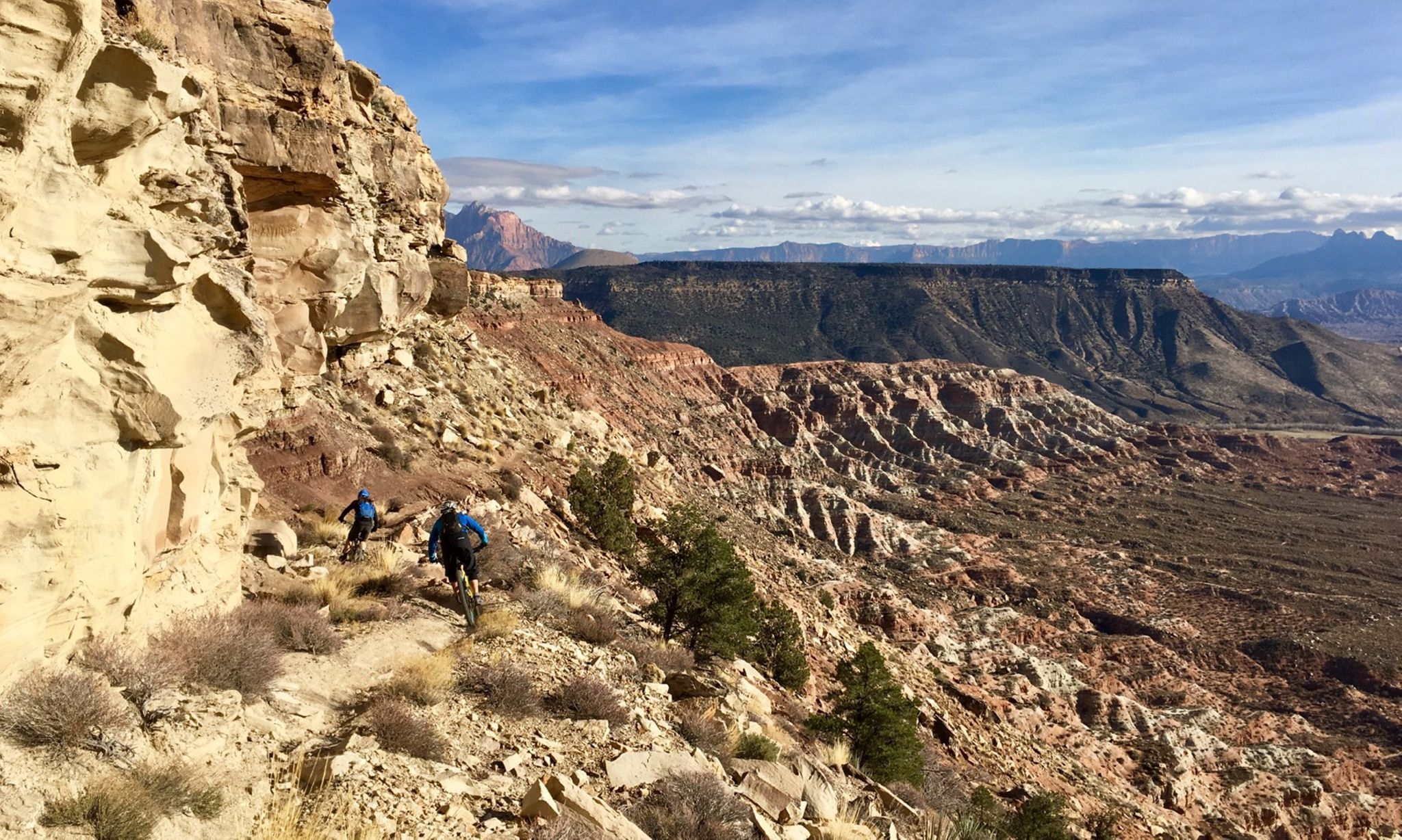
Mountain biking at the gates of Zion National Park
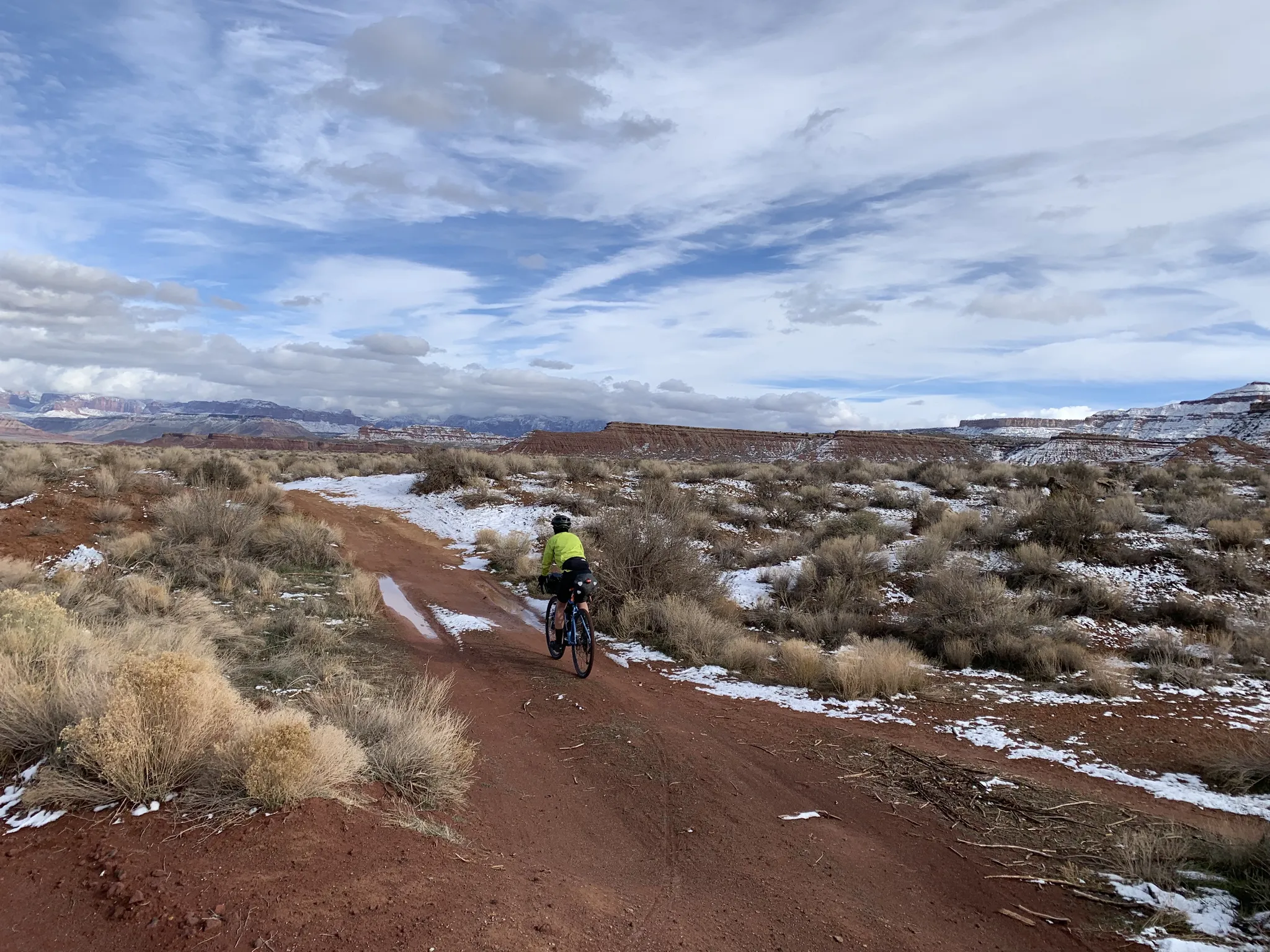
The girls of the desert — Gravel between Las Vegas and Zion

Unforgettable MTB Adventures – IMBA Epic Trails in USA and Canada
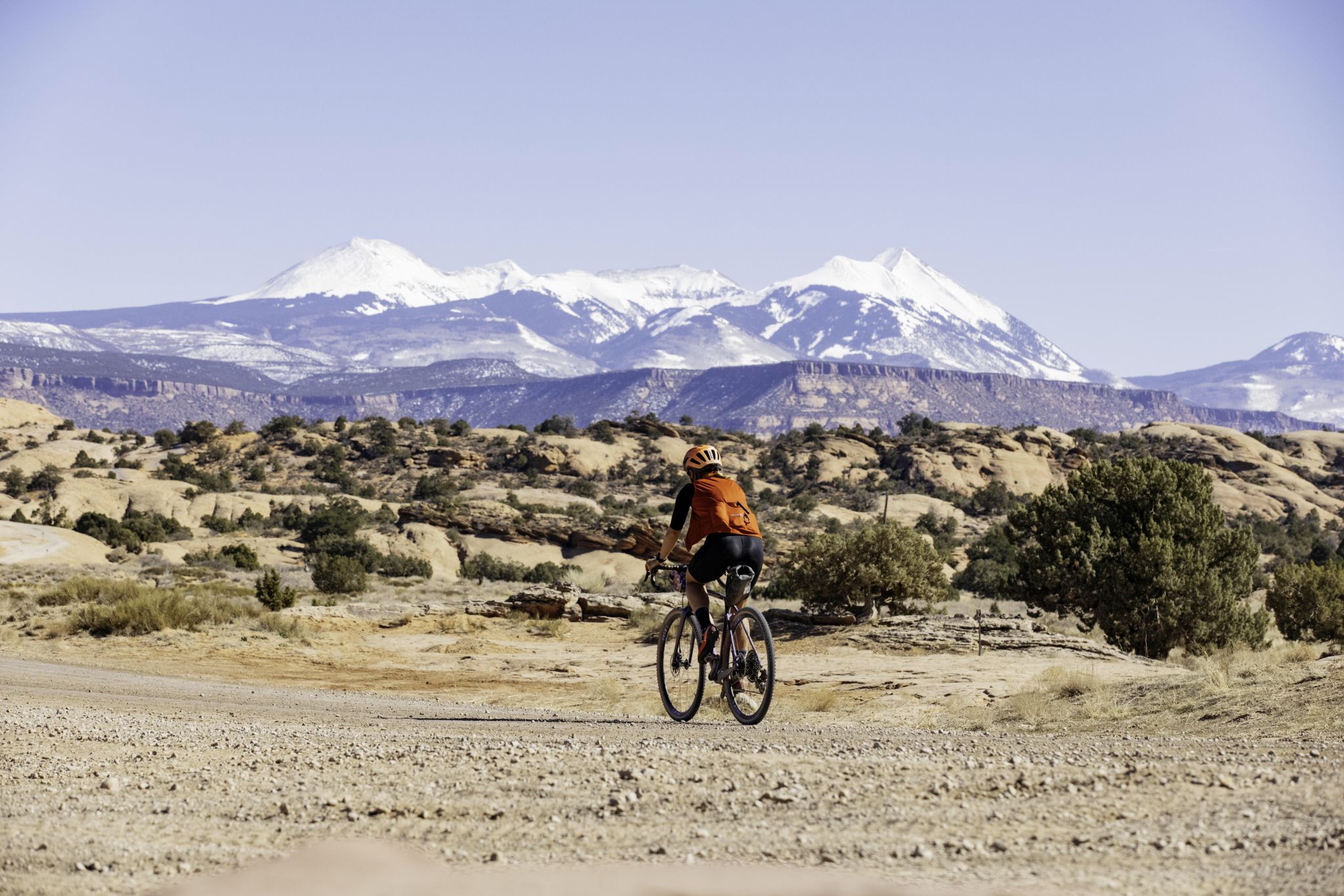
My Utah road trip: trail running and gravel riding in the mountains

The pristine beauty of the US National Parks
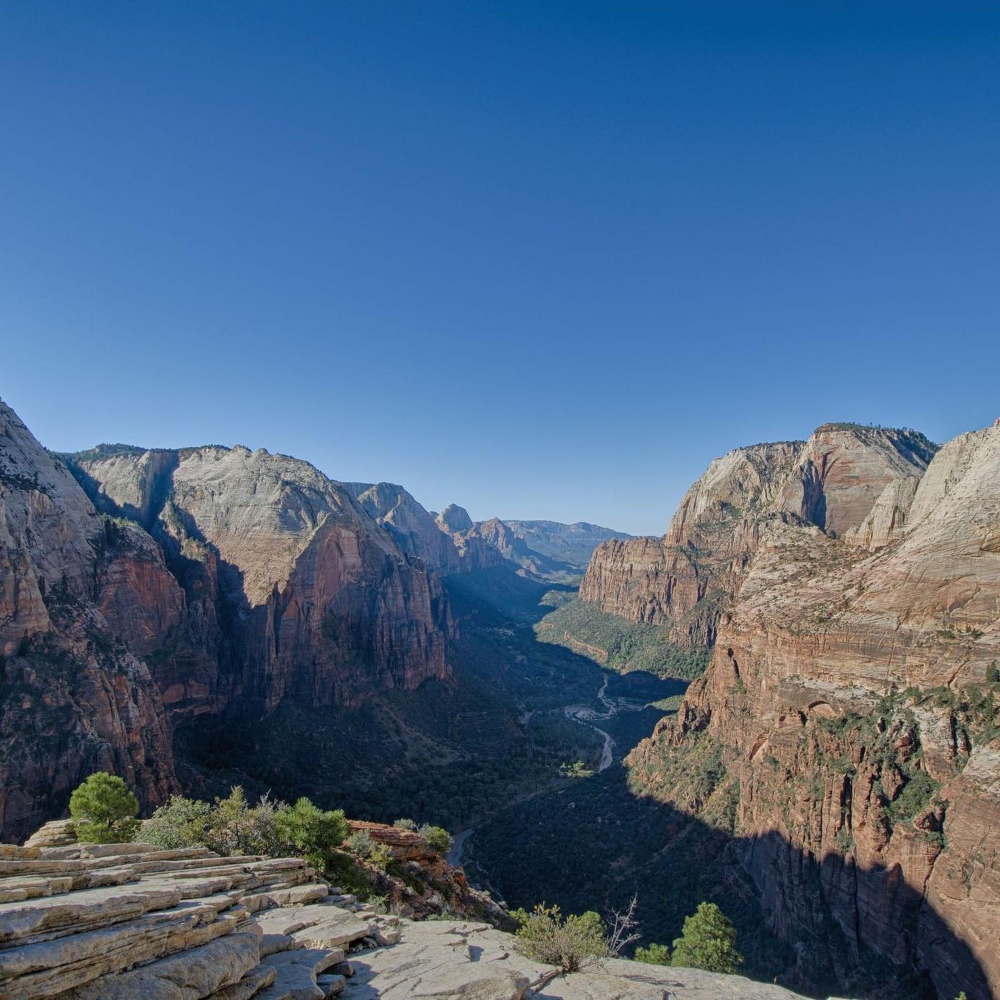
Hiking in the Markagunt Plateau
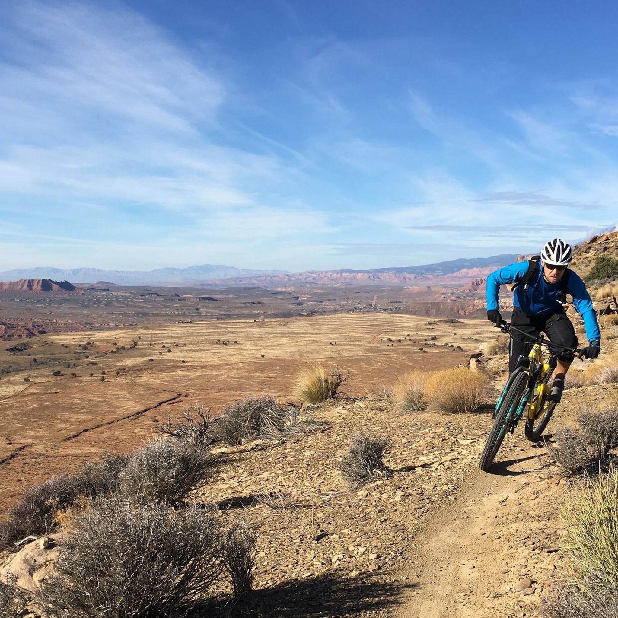
MTB Trails in the Markagunt Plateau
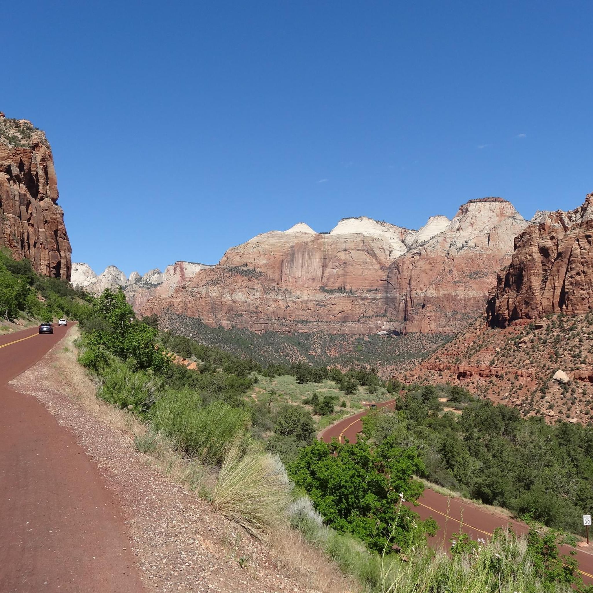
Cycling in the Markagunt Plateau
Other adventures in the Markagunt Plateau


Tips from the Community

There's little shade. Bring sunscreen. If you prefer a quieter setting, this trail isn't really for you. Many tourists visit the trail, and increasingly, many of them are riding fast e-bikes.
0
0

It's best to park here or at the museum, as only park buses are allowed into the larger part where most hikes start. I would also recommend getting there as early as possible, as it fills up quickly, parking is difficult, and the paths are also crowded.
0
0

This park is a great spot to start and end your ride while you explore the Zion area. There's water, toilets, shady areas, and the river to cool down in.
0
0


The iconic Zion National Park lies at the intersection of three major ecosystems - the Mojave Desert, the Colorado Plateau and the Great Basin. From the top of Angels Landing to the bottom of The Narrows, this desert oasis is full of possibilities. The peace and tranquility of this region inspired early pioneers to give it the name it bears today, which means something like a place of refuge or sanctuary.
3
0

With the current temperatures of around 40°C, you should definitely start early. Firstly, to avoid the crowds at the Bus Stop Village Center (we were already standing in line for 45 minutes at 8:30 a.m.). Secondly, to avoid the heat. The rocks sometimes heat up and it becomes unbearable. Don't forget to bring plenty of drinking water. Berger, we were just looking forward to cooling off in the Virgin River, which was a real treat.
1
0

Magnificent but the path to go up to Observation Point is closed...
0
0
Frequently Asked Questions
What kind of terrain can I expect on running trails in the Markagunt Plateau?
The Markagunt Plateau offers a diverse range of terrain, shaped by its volcanic history. You'll find extensive volcanic fields, lava flows, and cinder cones. Trails transition from juniper-pinyon woodlands at lower elevations to alpine forests of fir, spruce, and quaking aspen at higher altitudes. Some routes feature smoother paths, while others, especially more challenging ones, may include rocky stretches, loose rock, and erosion ruts, requiring appropriate footwear.
Are there running routes suitable for beginners in the Markagunt Plateau?
Yes, the Markagunt Plateau has routes suitable for beginners. For instance, Nung’wu Poa (Paiute) Trail - Phase 2 is an easy 3.0-mile (4.9 km) route with accessible paths. Generally, look for trails described as 'easy' or having less than 1,000 feet of elevation gain and relatively smooth surfaces for a more comfortable jog.
What natural features or landmarks can I see while running in the Markagunt Plateau?
The Markagunt Plateau is rich in natural beauty. You can encounter unique volcanic features like Navajo Lake, formed by a lava flow, and Mammoth Cave, one of Utah's largest lava tubes. Cedar Breaks National Monument, often compared to a miniature Bryce Canyon, showcases vibrant red hoodoos and dramatic drop-offs. High points like Brian Head Peak offer panoramic views. You might also spot ancient bristlecone pines and diverse forests. For specific points of interest, consider exploring highlights like Temple of Sinawava or View of the Watchman.
When is the best time of year for jogging in the Markagunt Plateau?
The high elevation of the Markagunt Plateau provides a welcome escape from summer heat, making it ideal for jogging during the warmer months. Summer and fall, when snow has melted, are generally the best seasons. In autumn, the aspen groves turn brilliant yellow, offering a particularly scenic experience.
Are there family-friendly running routes in the Markagunt Plateau?
While specific 'family-friendly' designations aren't always explicit for running, many of the easier trails with accessible paths and less elevation gain would be suitable for families. The Nung’wu Poa (Paiute) Trail - Phase 2 is an easy option that could work for families looking for a gentle jog.
Can I bring my dog on the running trails in the Markagunt Plateau?
Regulations for dogs can vary by specific trail or park area within the Markagunt Plateau, especially in protected areas like Cedar Breaks National Monument or Zion National Park. It's always best to check the specific rules for the trail you plan to run, as some areas may require dogs to be on a leash or prohibit them entirely.
What is the typical length of running routes in the Markagunt Plateau?
Running routes in the Markagunt Plateau vary significantly in length. You can find shorter, easier jogs like the Nung’wu Poa (Paiute) Trail - Phase 2 at 3.0 miles (4.9 km), up to longer, more challenging trails such as the Hurricane Rim and JEM Trail Loop, which is 10.9 miles (17.5 km).
Are there many circular running routes available in the Markagunt Plateau?
Yes, the Markagunt Plateau offers several circular running routes. For example, the Margarita and Guacamole Trail Loop is a moderate 6.8-mile (11.0 km) option, and the Rattlesnake Gulch and Toquerville Falls Loop provides an 8.7-mile (14.0 km) experience.
Do I need a permit to jog on trails in the Markagunt Plateau?
While many trails in the Dixie National Forest on the Markagunt Plateau may not require specific jogging permits, areas like Cedar Breaks National Monument and Zion National Park (which borders the plateau) typically have entrance fees. Some specific trails within these parks, such as Angels Landing in Zion, may require permits or reservations. It's advisable to check the official websites for any specific park or monument you plan to visit.
What do other runners enjoy most about jogging in the Markagunt Plateau?
The Markagunt Plateau is highly rated by the komoot community, with an average score of 4.6 stars from over 6 reviews. Runners often praise the diverse and visually spectacular backdrop for their runs, from high-elevation forests and aspen groves to dramatic canyon rims and unique volcanic features. The variety of terrain and the escape from summer heat are also frequently highlighted.
How many running routes are available in the Markagunt Plateau?
There are over 60 running routes available in the Markagunt Plateau, catering to various skill levels. This includes 8 easy routes, 39 moderate routes, and 17 difficult routes, ensuring options for every runner.
Are there any challenging trail running options in the Markagunt Plateau?
Absolutely. For experienced runners seeking a challenge, the Markagunt Plateau offers numerous trails with significant elevation changes and rugged terrain. Routes like the Grafton Mesa and More Money Loop, a difficult 8.8-mile (14.2 km) trail with over 1,000 feet of elevation gain, provide an intense trail running experience.
Most popular routes in the Markagunt Plateau
Most popular attractions in the Markagunt Plateau

Get inspired with the komoot mobile app


Explore more
Browse the best Running Trails & Routes in other regions.
