The best traffic-free bike rides around the Duero
4.5
(59)
567
riders
130
rides
No traffic gravel bike trails around the Duero traverse a diverse landscape characterized by terraced vineyards, deep river canyons, and hilly interiors. The region is shaped by the Duero River, which carves dramatic gorges, offering serene riverside paths and impressive vistas. Its varied topography, ranging from gentle river valleys to more challenging mountainous sections, provides an extensive network of quiet roads, old railway lines (Eco-Pistas), and mixed-surface trails suitable for gravel biking. A Mediterranean microclimate within the gorges supports diverse…
Last updated: July 12, 2026
5.0
(1)
20
riders
39.7km
02:19
240m
240m
Moderate gravel ride. Good fitness required. Mostly paved surfaces. Suitable for all skill levels.
5.0
(1)
5
riders
52.4km
04:42
890m
890m
Hard gravel ride. Very good fitness required. Mostly paved surfaces. Suitable for all skill levels.

Sign up for free
11
riders
44.6km
03:04
310m
310m
Moderate gravel ride. Good fitness required. Mostly paved surfaces. Suitable for all skill levels.
11
riders
51.5km
03:46
360m
360m
Moderate gravel ride. Good fitness required. Mostly paved surfaces. Suitable for all skill levels.
8
riders
45.3km
02:58
380m
380m
Moderate gravel ride. Good fitness required. Mostly paved surfaces. Suitable for all skill levels.
Get access to more routes and recommendations from other explorers.
Sign up for free
Already have an account?
Our route recommendations are based on thousands of hikes, rides, and runs completed by other people on komoot.
Start today with a free account
Your next adventure awaits.
Login or Signup
Popular around Duero
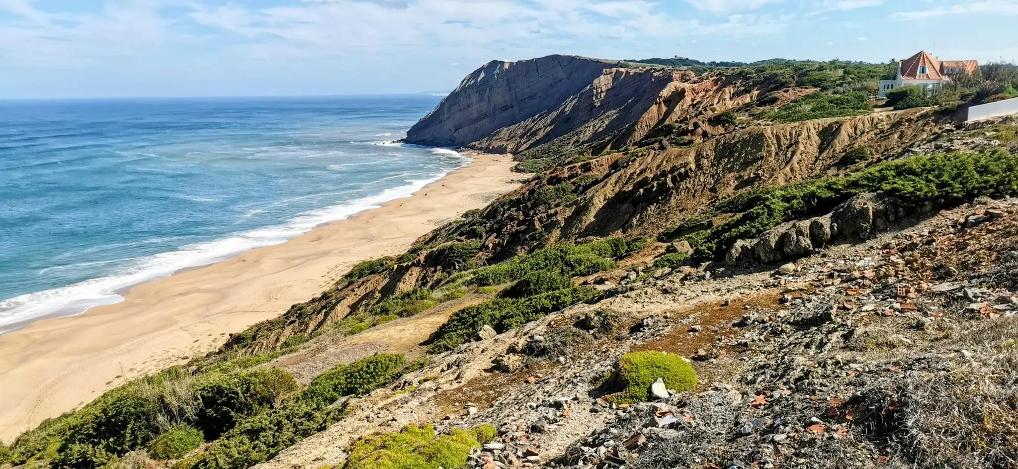
EuroVelo 1 Portugal – Cycle the Atlantic Coast
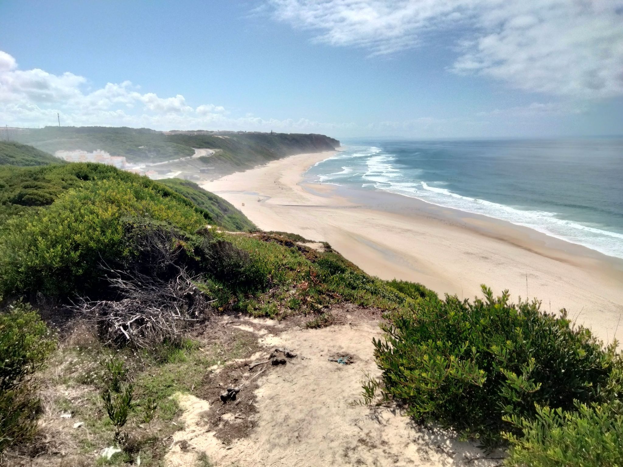
Portugal's Atlantic coast (north) – from Caminha to Lisbon
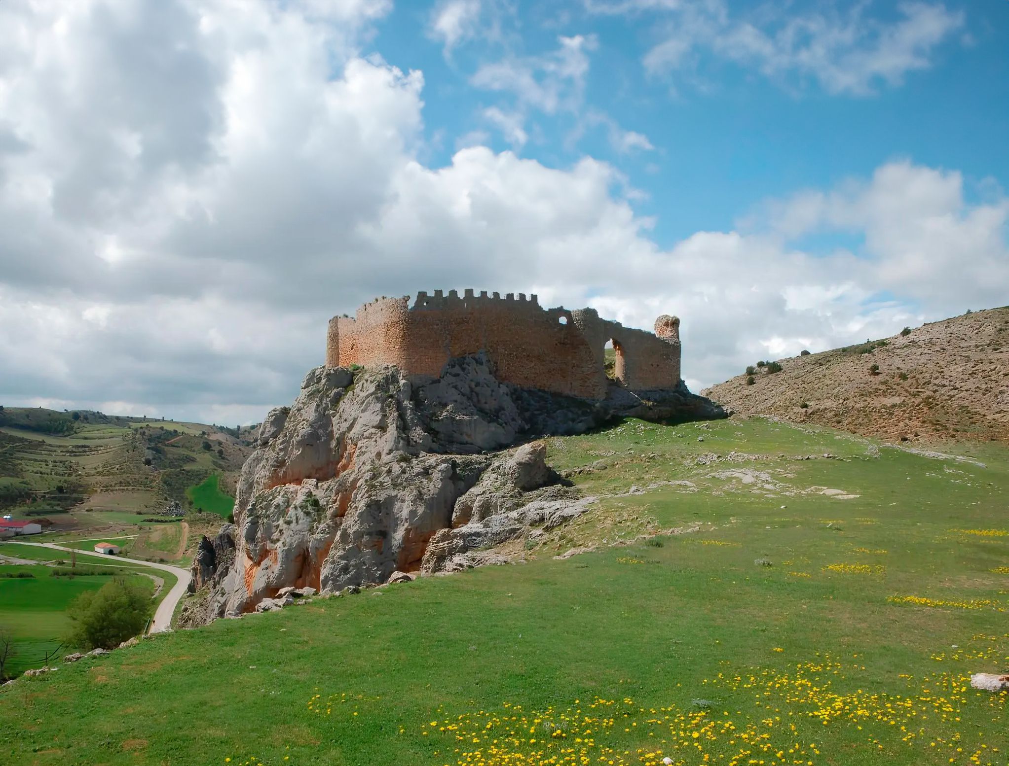
Around the Spanish province of Soria - Sendero Ibérico Soriano (GR 86)
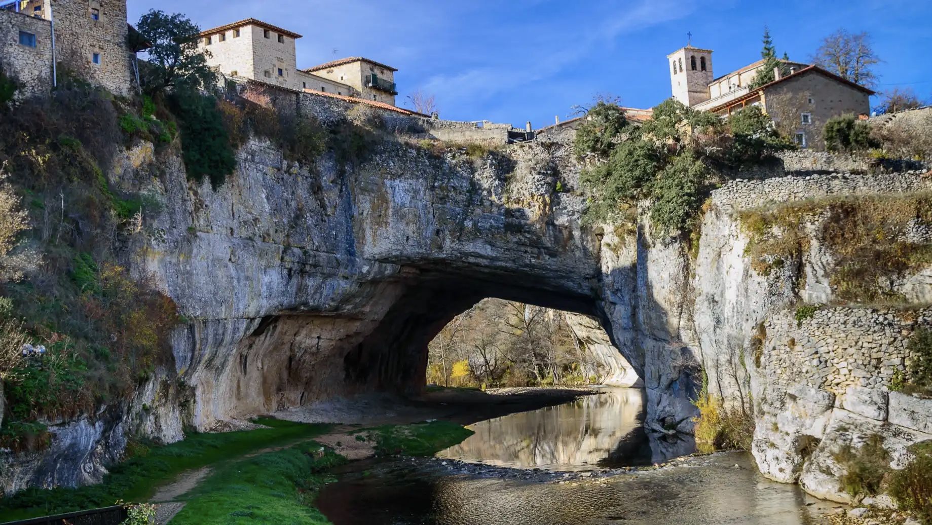
An epic getaway – Santander-Mediterráneo Nature Trail
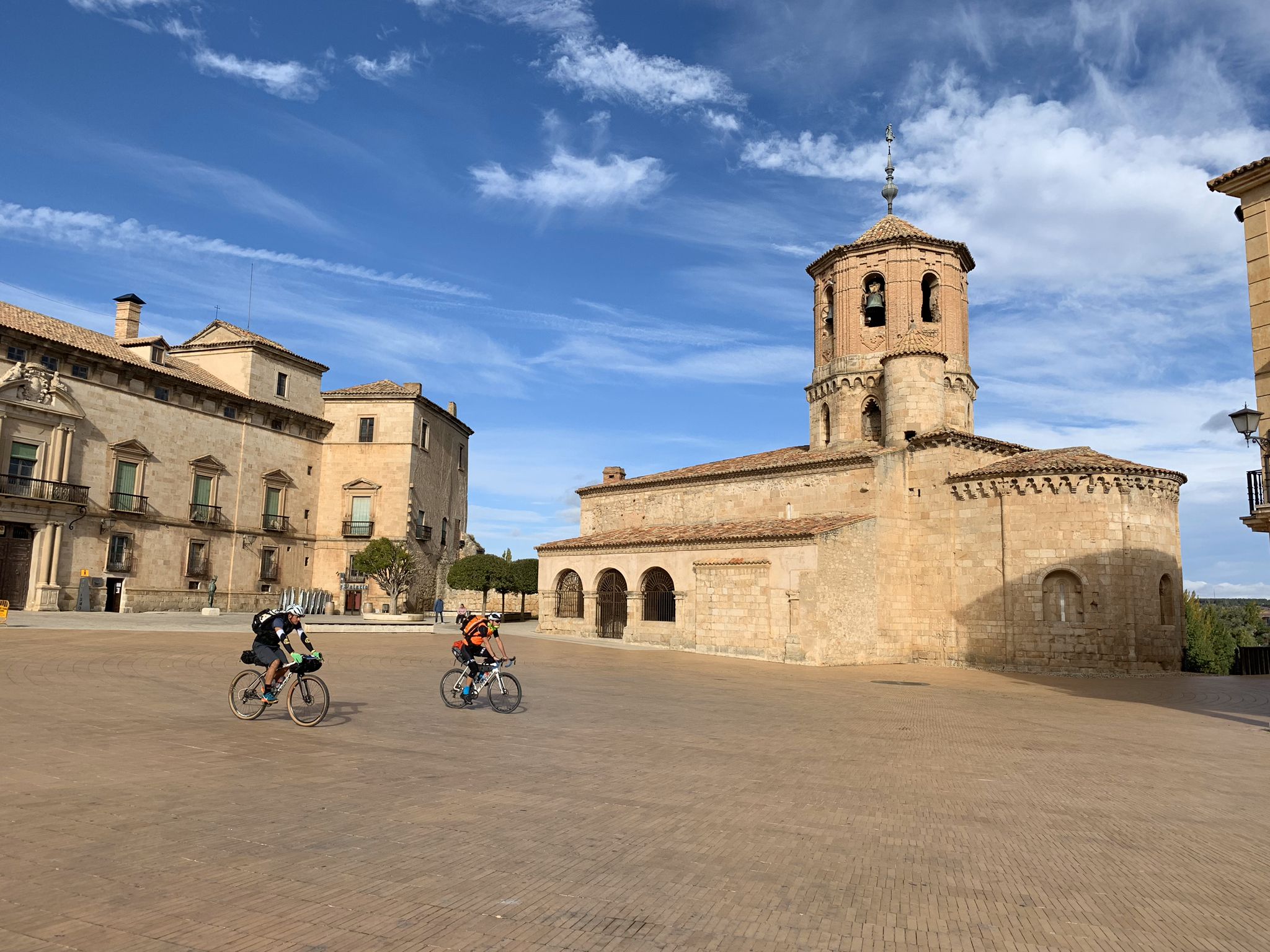
Countryside and fortresses – Walls of the Upper Duero by bike
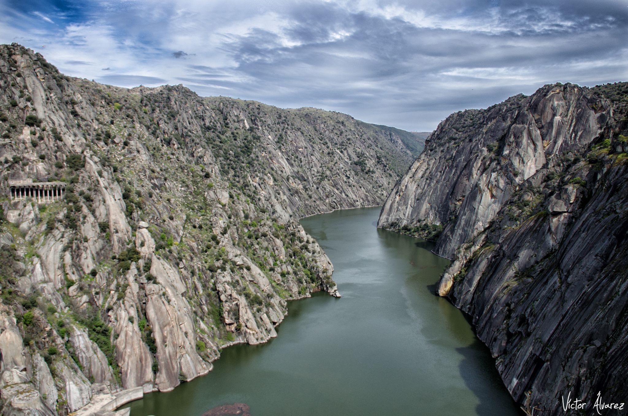
Downriver between Zamora and Salamanca – Western Duero Trail (GR 14)
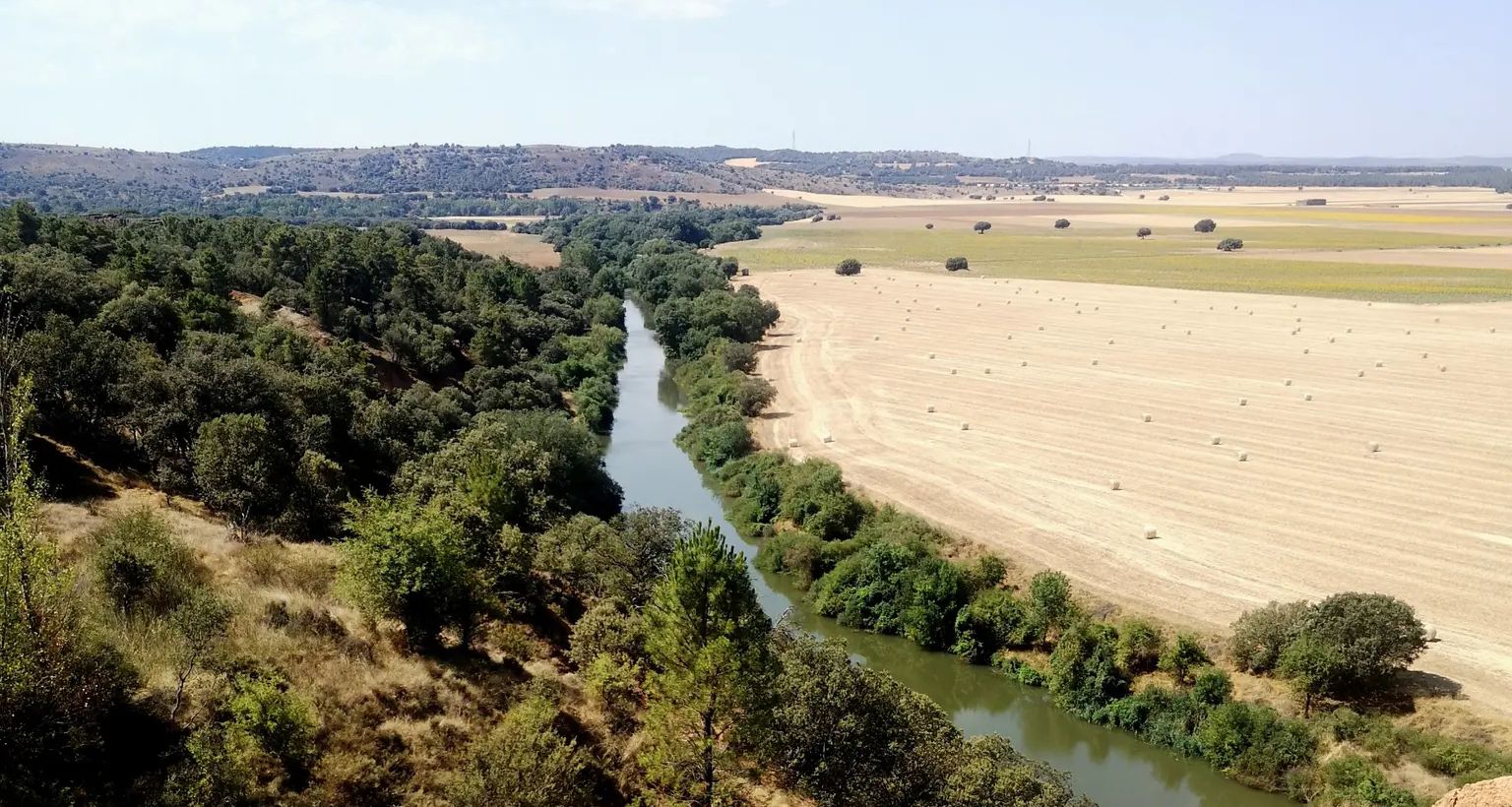
Downstream through Soria, Burgos and Valladolid in Spain – Eastern Douro Trail
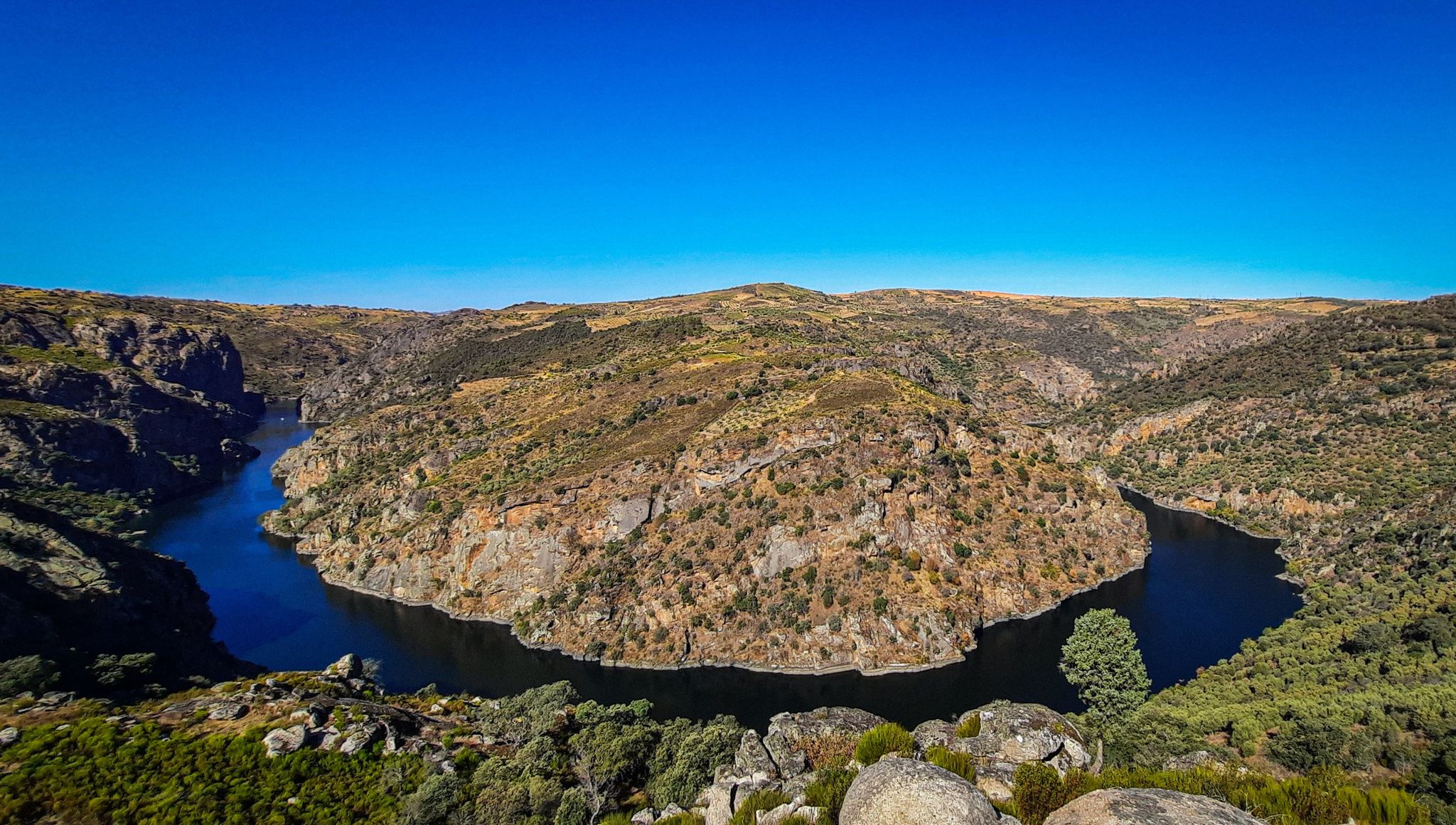
The Great Castilian River – Duero MTB Trail
The secret gravel paradise — Bikepacking Soria
El Camino del Cid – El Destierro by gravel bike
Other adventures around the Duero


Tips from the Community

Beautiful town in Soria.
0
0

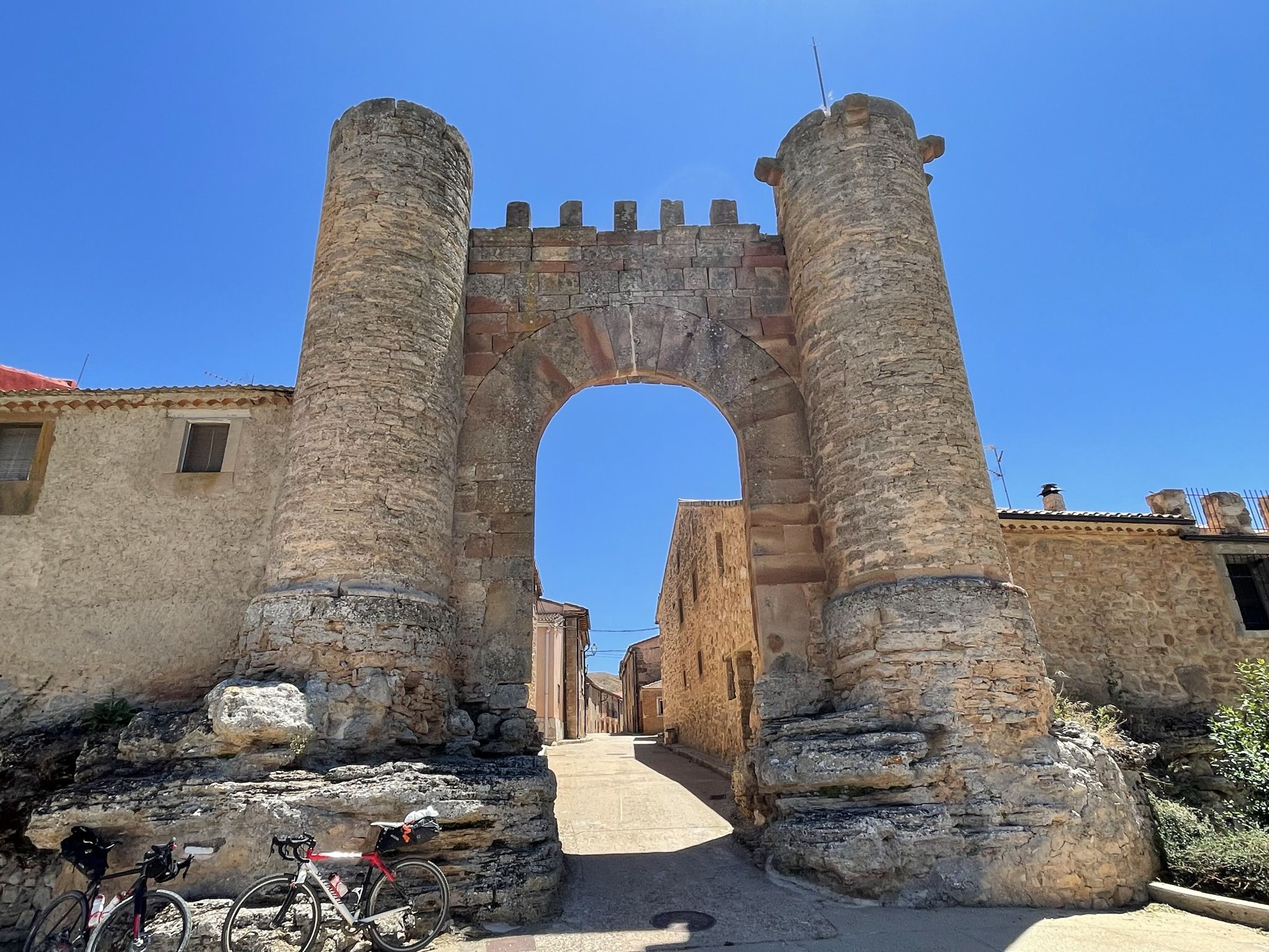
Molinos, located at the entrance to the valley through which the Duero River descends, amidst thick pine forests, was the most important cart-making center in the country for centuries. A monument today reminds visitors of the great impact this activity had on the area. The wool trade significantly stimulated muleteering and transport, leading the Catholic Monarchs to found the Royal Cart-Workers' Cabin in 1497, granting it substantial privileges and franchises that successive monarchs maintained until its abolition in 1836. A result of the wealth this activity brought is the collection of beautiful stone mansions scattered throughout the town.
0
0

Stage 1. Soria/Duruelo de la Sierra 106 kilometers. 1,240 meters of elevation gain. The stage's altitude data borders on a peaceful day of cycling from a medium-level perspective, especially the elevation gain concentrated in the final stretch, between Hontoria del Pinar and Duruelo de la Sierra. The stage can be divided into two days, with the first night's stop in San Leonardo de Yagüe, which has all the necessary amenities. In these bikepacking reports and suggestions, I try to provide information, suggestions, and opinions on optimal routes, routes, and terrain for enjoyable gravel bike travel. However, these data should always be assessed subjectively, allowing each cyclist to establish their own travel style and pace, depending on the tour company, the time of year, their goals, or their personal taste. A beautiful part of traveling is making each experience your own adventure. The milestones are marked, indicating paths, outstanding places, points of interest, or discoveries made by other cycle travelers, but each cyclist must find their own inspiration, and it will always be a unique journey. The Duero River has been a frontier since the dawn of Iberian civilizations, and Soria a strategic stronghold in a territory of conquest and power. And whenever I begin a bike trip in Soria, I always look for the riverbank to mark the starting point, at the foot of the Parque del Castillo, a natural space with an atmosphere of bygone eras marked by the power of a watercourse around a medieval fortress. A quiet and convenient place to park is the Paseo de San Prudencio parking lot, near the Romanesque chapels that distinguish the city's historical and artistic heritage. Along the riverside paths, there are gardens, recreational areas, kiosks, and inspiring sculptures, and on the opposite bank are the Church of San Polo and the Chapel of San Saturio, two jewels of Soria's Romanesque architecture. And there are also the signposts for the Senda del Duero Nature Trail, where the return route begins. The sign for the start of the Santander-Mediterranean Nature Trail section between Soria and Hontoria del Pinar is next to the train station, in another part of the city. The connection from the banks of the Duero River between the two Nature Trails has no specific signage; it follows the river along the riverside promenade, passes the San Saturio pedestrian bridge, and climbs along the University of Soria bike path to the Carretera de Madrid roundabout. The best route I've found in this area of industrial estates and vacant lots to reach the route of the old Santander railway is to go up Eduardo Saavedra Street to a crossroads where there are some car dealerships, turning left onto Camino del Cañuelo. This is a somewhat winding but effective route for reaching the "ground zero" of the Santander-Mediterranean Nature Trail by bike. The trail is located at the train station exit, with an information panel and the first red signs indicating the crossing points. And then it's time to pedal toward the forest kingdom of Tierra Pinariega and the Picos de Urbión. The first few kilometers fly by; it's a rural area, the villages are far from the railway, and you simply have to glide along the magnificent gravel surface of the old railway, seeing the remains of the stops, stations, and milestones of the Nature Trail. Ocenilla is a district of Cidones, close to the railway crossing, at the foot of the solitary Cabrejas mountain range. It's easy to cycle to the entrance of the village and see the sculpture of the Warrior of Ocenilla, a striking representation of a Celtiberian warrior found in the drawings of a 3rd-century BC vase, associated with the Numantian culture. The route winds along endless straight stretches alongside the Cabrejas mountain range and enters Tierra Pinariega through the municipalities of Abejar and Cabrejas del Pinar. Some milestones bear the yellow arrows of the Castilian-Aragonese Way of St. James.
0
0
With impressive views of Urbión
0
0

Ocenilla is a hamlet belonging to the municipality of Cidones. It is located 15 km from the capital, Soria. In the distance, beneath the foothills of the Sierra de Cabrejas, you can see the Pico Frentes. Access is the same as to Cidones, taking the N-234. Festivals include St. Anthony of Padua on June 13th and St. Stephen's Day on December 26th. A Celtiberian fortress stands here, part of the wall still stands today. The economy is based primarily on livestock farming. Among the plants, the oak stands out. Typical dishes include perolo on Christmas Eve and cachula, or pork blood broth. Art and Sights in Ocenilla Hermitage of San Antonio Church of San Esteban Archaeological Remains Don Simón Spring (Natural Spring) Ivy Spring (Natural Spring) Old Washhouse (Old Washhouse) Source: https://www.cidones.es/ocenilla
0
0
Nice area for outdoor activities.
0
0
Nice area for mountain biking
0
0
Frequently Asked Questions
How many no-traffic gravel bike trails are available in the Duero region?
The Duero region offers a substantial network of routes ideal for gravel biking with minimal traffic. This guide features over 100 dedicated no-traffic gravel bike trails, ranging from moderate to difficult, ensuring a diverse experience for cyclists.
What kind of terrain can I expect on these no-traffic gravel bike trails?
You can expect a varied and often challenging terrain. The Duero region is characterized by its dramatic canyons, terraced vineyards, and hilly interiors. Trails often combine quiet paved sections with off-road paths, old railway lines (Eco-Pistas), and cobbled streets. Be prepared for significant elevation gains, especially in areas like the Douro Valley, which reward you with spectacular panoramic views.
What is the best time of year to go gravel biking in the Duero region to avoid traffic?
The Duero region benefits from a Mediterranean microclimate, making spring (April-June) and autumn (September-October) ideal. During these seasons, the weather is pleasant, and the natural beauty, like the vibrant vineyards or blooming almond groves, is at its peak. While the trails are generally low-traffic, these shoulder seasons offer comfortable temperatures and fewer visitors than peak summer.
Are there any circular no-traffic gravel routes in the Duero region?
Yes, many of the no-traffic gravel routes in the Duero region are designed as loops, allowing you to start and end at the same point. For example, the Toledillo Train Stop – Cidones Railway Halt loop from Soria offers a moderate 39 km ride, while the more challenging Molinos de Duero – Duero Trail loop from Molinos de Duero covers over 50 km with significant elevation.
What are some natural attractions I can see along the no-traffic gravel bike trails?
The Duero region is rich in natural beauty. You'll encounter breathtaking terraced vineyards, deep river canyons, and diverse flora. Notable natural highlights include the dramatic gorges of the Arribes del Duero Natural Park and the impressive View of the Douro Canyon. During the rainy season, the 50-meter-high Pozo de los Humos waterfall is particularly spectacular.
Are there any historical or cultural points of interest accessible from these gravel routes?
Absolutely. The region is dotted with historic villages and towns. You might cycle past medieval bridges, ancient monasteries like the one in Salzedas, or quaint settlements such as Fermoselle. Many routes offer glimpses into the region's rich winemaking heritage, especially in the Douro Valley, the world's oldest demarcated wine region.
What do other gravel bikers say about the no-traffic trails in the Duero region?
The komoot community highly rates the gravel biking experience in the Duero region, with an average score of 4.47 stars from 25 ratings. Reviewers often praise the tranquility of the routes, the stunning views of the Duero River and vineyards, and the rewarding challenge of the varied terrain. The absence of traffic is consistently highlighted as a major plus.
Are there any easy, beginner-friendly no-traffic gravel bike routes?
While many routes in the Duero region feature significant elevation, there are options suitable for beginners looking for less challenging no-traffic experiences. Look for routes described as 'moderate' with lower elevation gains. For instance, the Toledillo Train Stop – Cidones Railway Halt loop from Soria is a good starting point, offering a moderate ride without extreme climbs.
Can I find places to eat or stay along the no-traffic gravel bike trails?
Yes, the Duero region is known for its gastronomy and hospitality. While specific amenities vary by route, many trails pass through or near charming villages and towns where you can find local restaurants, cafes, and accommodation. The Douro Valley, in particular, offers numerous opportunities for wine and food tastings, allowing you to refuel and relax after your ride.
Are there specific viewpoints or scenic spots recommended along the no-traffic gravel routes?
The Duero region is famous for its panoramic viewpoints. Along your gravel rides, you'll encounter numerous spots offering spectacular vistas of the river, vineyards, and canyons. Keep an eye out for named viewpoints like Staircase Viewpoint, Barrancas Viewpoint, and Peña del Cura, which are often accessible from or near the trails. The View from Cerro de Santa Ana is another highly-rated scenic spot.
What are the typical distances and elevation gains for these no-traffic gravel trails?
The no-traffic gravel trails in the Duero region vary significantly in length and elevation. You can find routes ranging from around 40 km, like the Junta de los Ríos Trail – Toledillo Train Stop loop from Soria with about 312m of ascent, to over 50 km with substantial climbs, such as the Molinos de Duero – Duero Trail loop from Molinos de Duero which features over 890m of elevation gain. Be prepared for a good workout on most routes.
Most popular routes around the Duero
Most popular attractions around the Duero

Get inspired with the komoot mobile app


