The best hikes from bus stations in the Jotunheimen Mountains
4.5
(61288)
338,599
hikers
3,770
hikes
Bus station hiking trails in the Jotunheimen Mountains offer access to Norway's highest peaks and a dramatic alpine landscape. This extensive mountain range features towering summits, deep valleys, and glacial formations. The region is characterized by its hard gabbro rock, sculpted by ancient glaciers into cirques and vast plateaus, alongside numerous crystal-clear alpine lakes and waterfalls. An extensive network of marked routes provides diverse terrain for hikers.
Best bus station hiking trails in the Jotunheimen Mountains
- The most popular bus…
Last updated: May 26, 2026
4.8
(4602)
26,481
hikers
8.27km
03:20
370m
370m
Hard hike. Good fitness required. Sure-footedness, sturdy shoes and alpine experience required.
4.8
(87)
799
hikers
12.7km
07:13
1,380m
1,380m
Hard hike. Very good fitness required. Mostly accessible paths. Sure-footedness required.

Sign up for free
4.7
(180)
678
hikers
5.17km
01:52
290m
310m
Easy hike. Great for any fitness level. Easily-accessible paths. Suitable for all skill levels.
4.8
(93)
676
hikers
15.9km
06:31
280m
1,020m
Hard hike. Very good fitness required. Sure-footedness, sturdy shoes and alpine experience required.
4.7
(48)
334
hikers
5.23km
02:29
460m
460m
Hard hike. Good fitness required. Sure-footedness, sturdy shoes and alpine experience required.
Get access to more routes and recommendations from other explorers.
Sign up for free
Already have an account?
Our route recommendations are based on thousands of hikes, rides, and runs completed by other people on komoot.
Start today with a free account
Your next adventure awaits.
Login or Signup
Popular around Jotunheimen Mountains
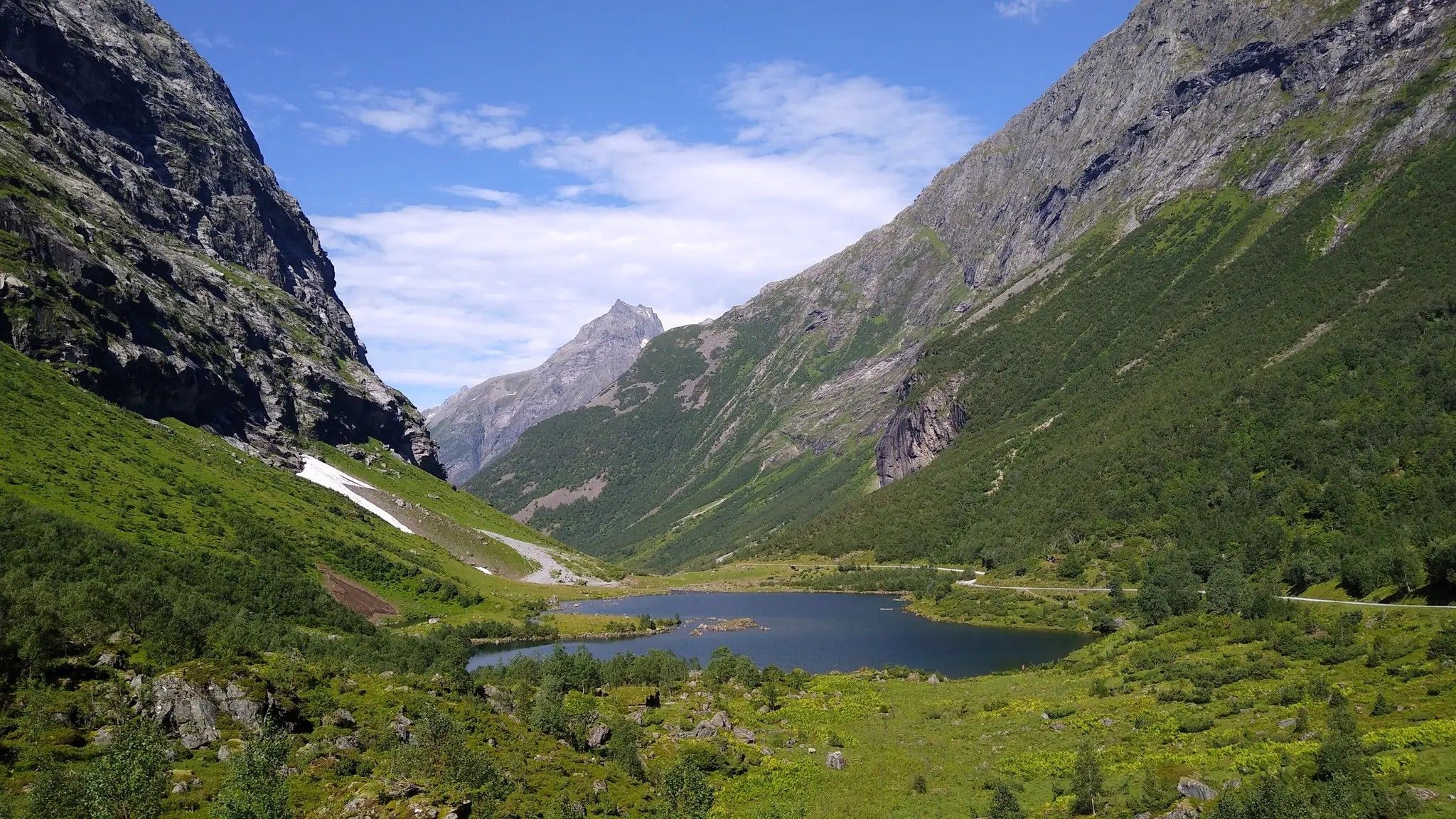
Hjørundfjorden Rundt — exploring the ancient Sunnmøre Alps
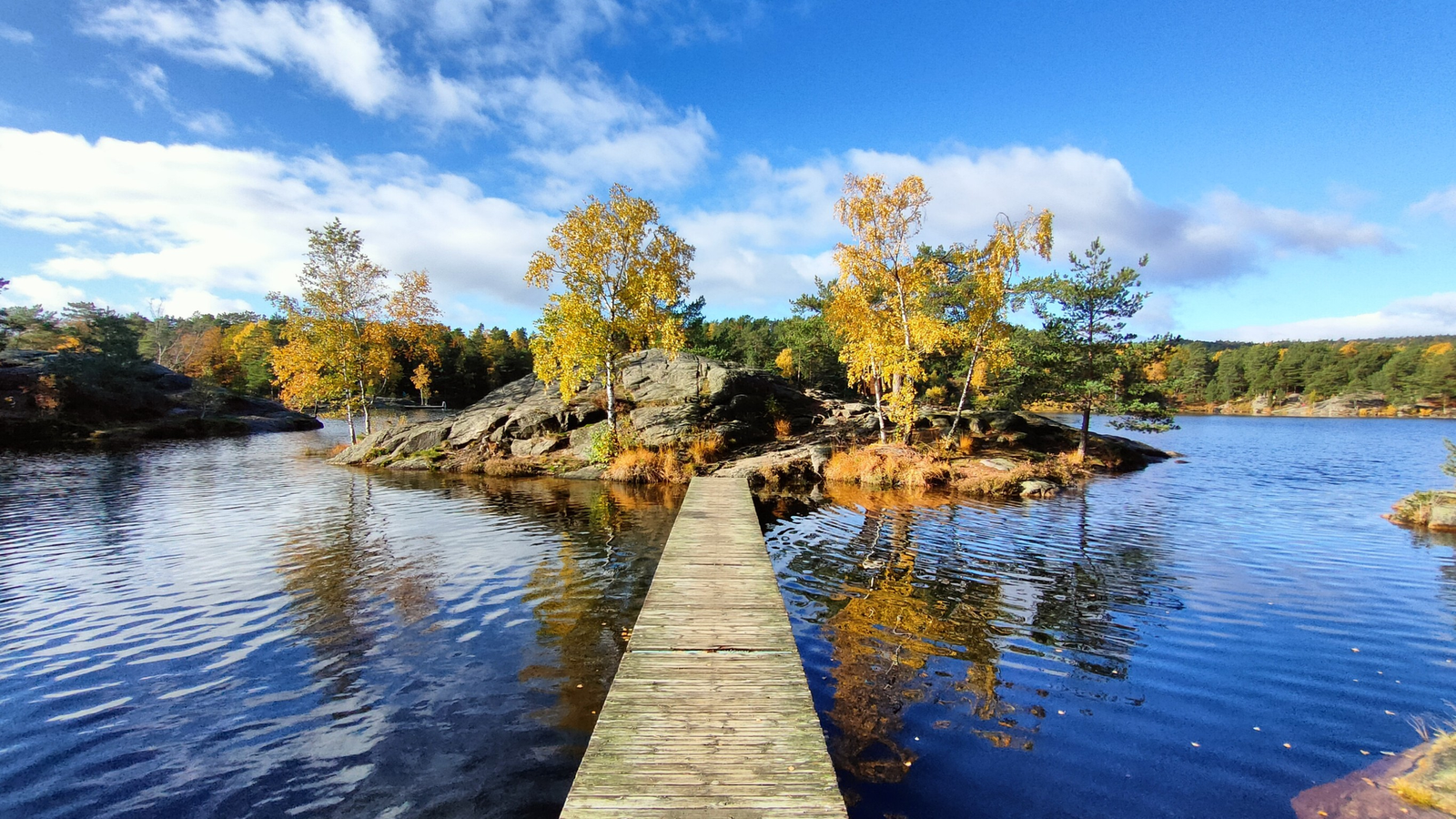
The Child Wanderer Path – Kvinesdal to Landvik
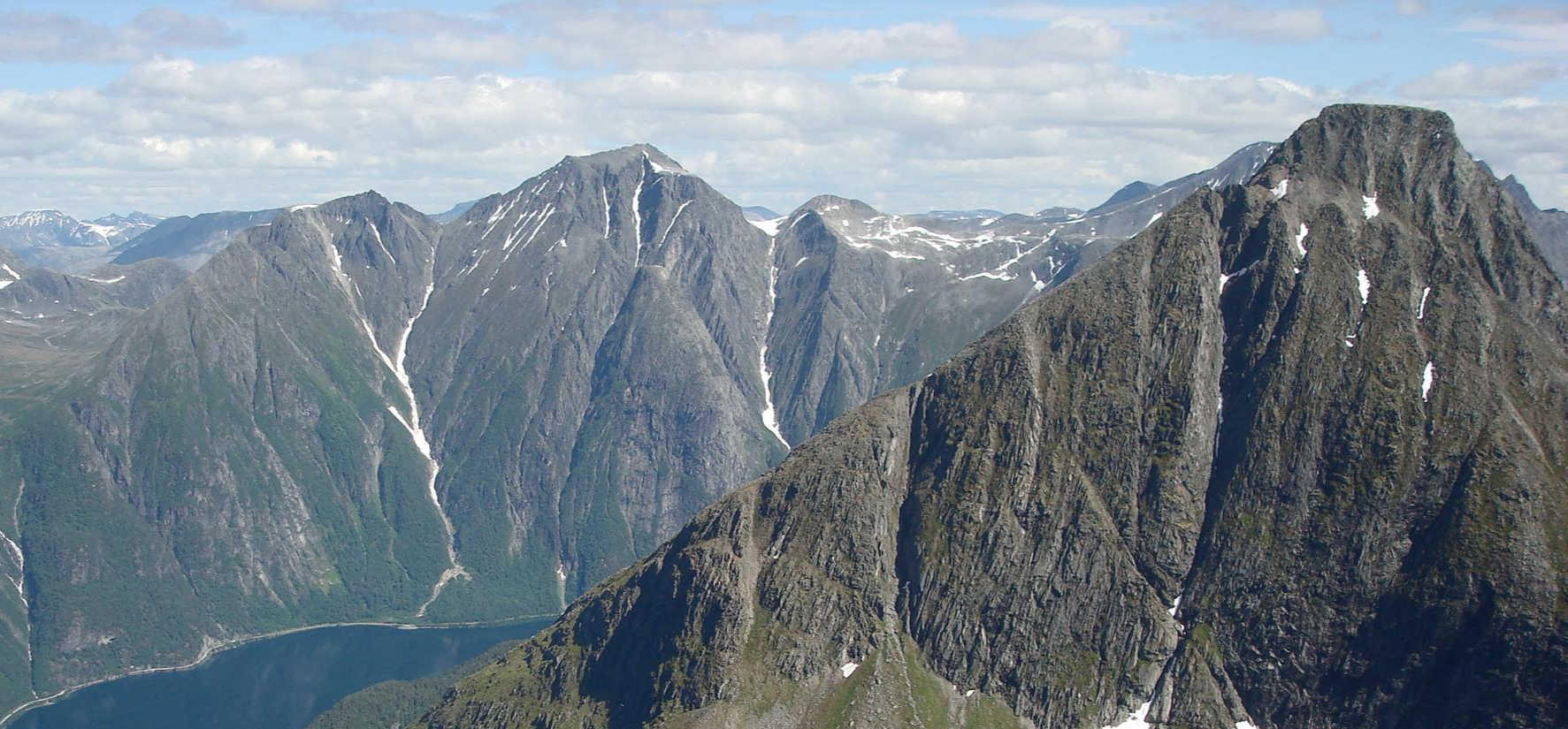
SignaTUR Romsdalstien – From the fjord to majestic mountains
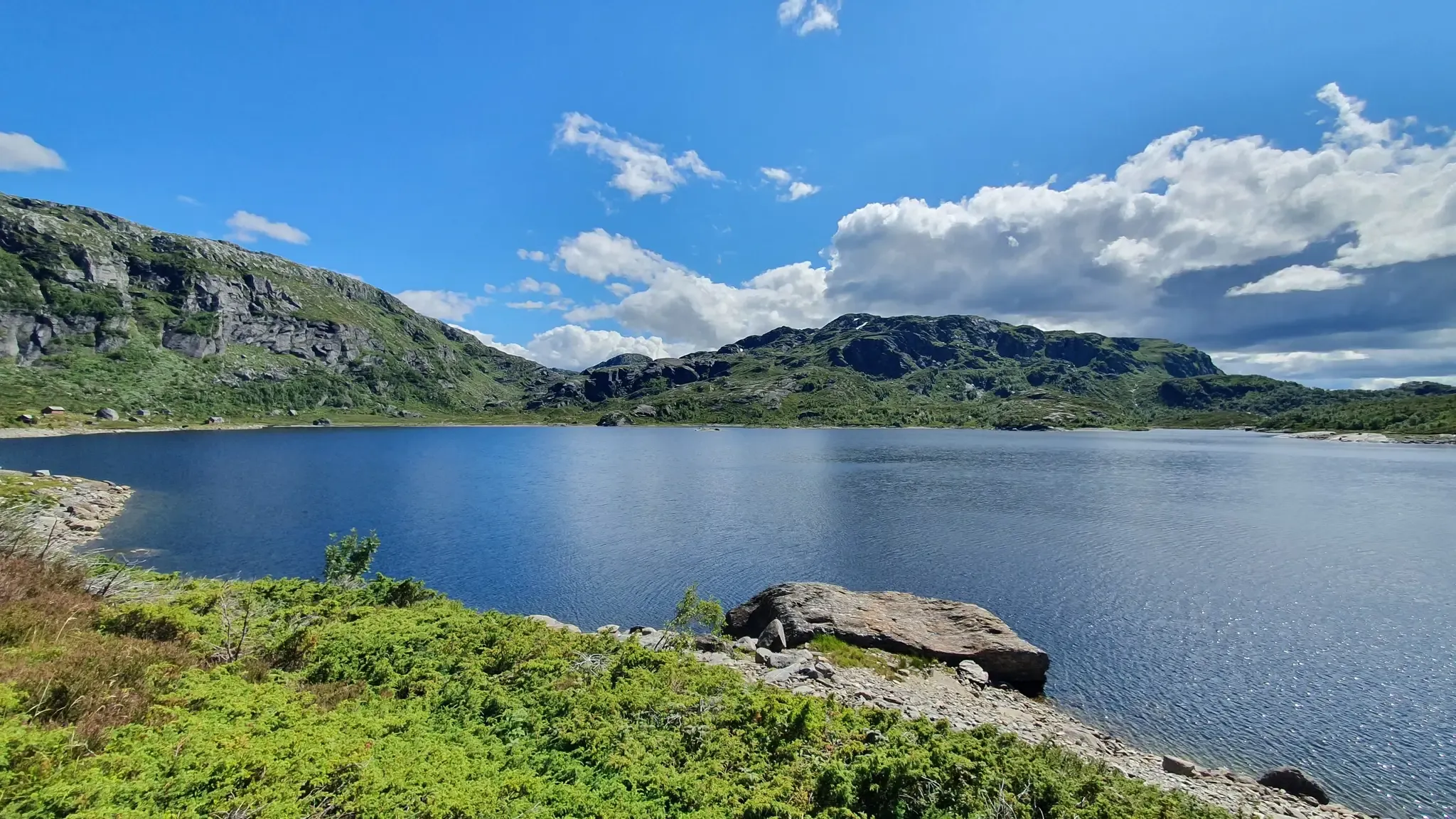
SignaTUR Gullruta i Etnefjellene – Trekking Norway's Golden Route
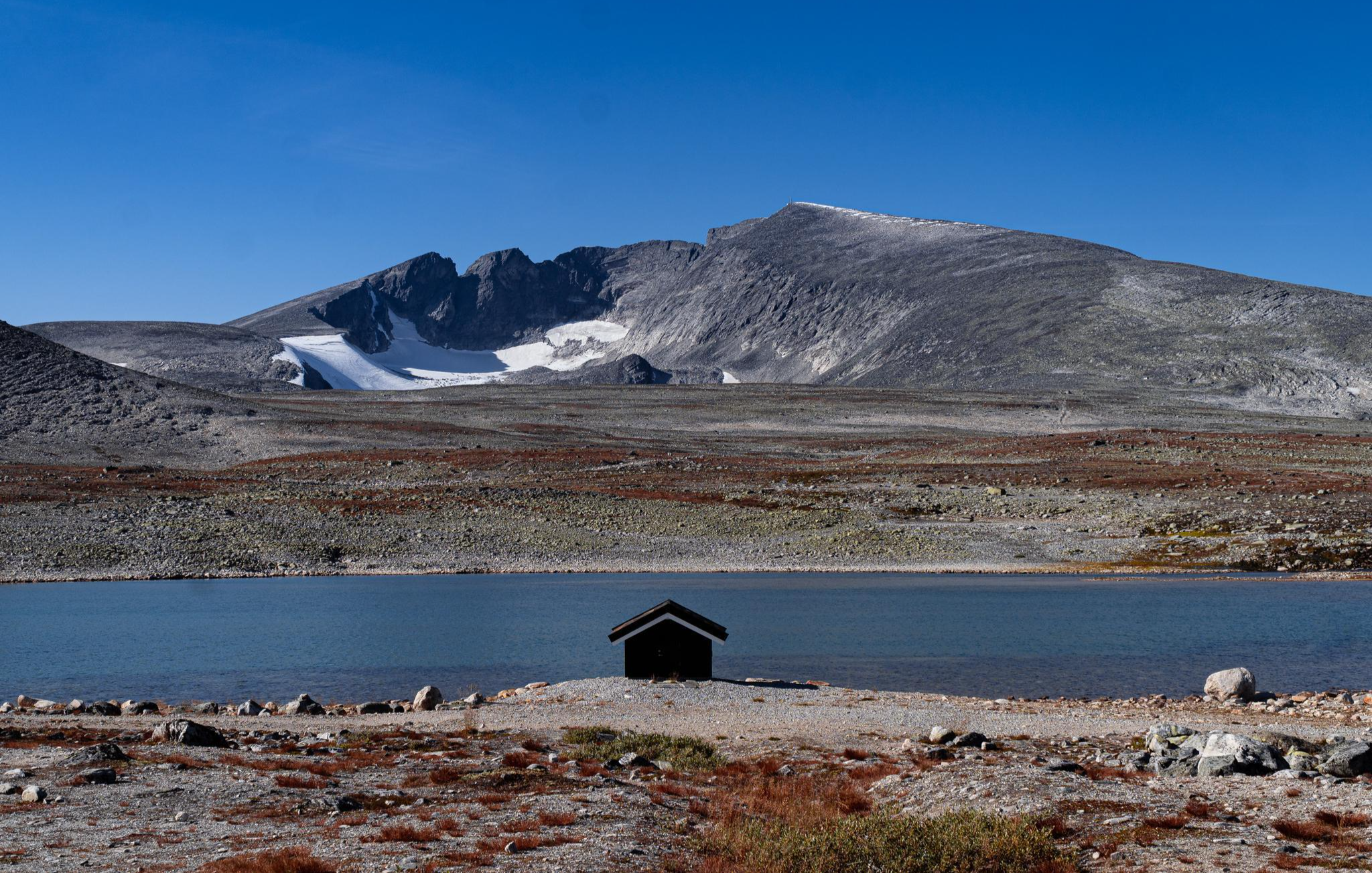
SignaTUR SAGA – Reindeer, wild trails and mighty peaks
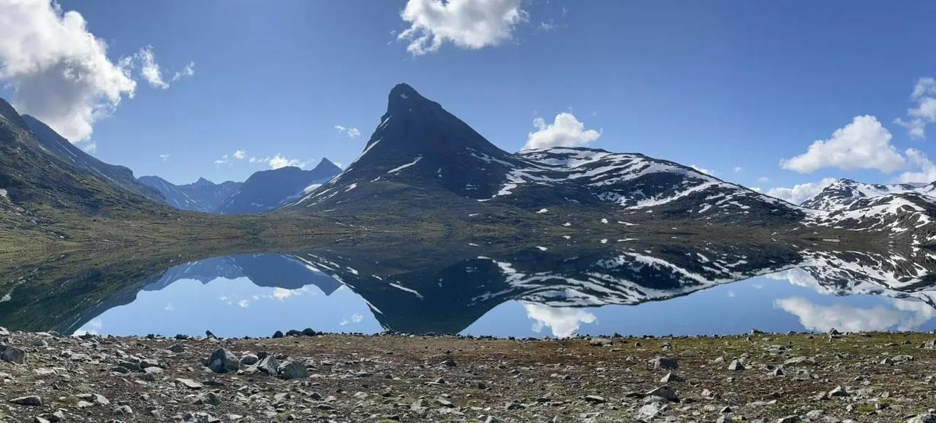
SignaTUR Omveien – Vast wilds, epic peaks and deep valleys
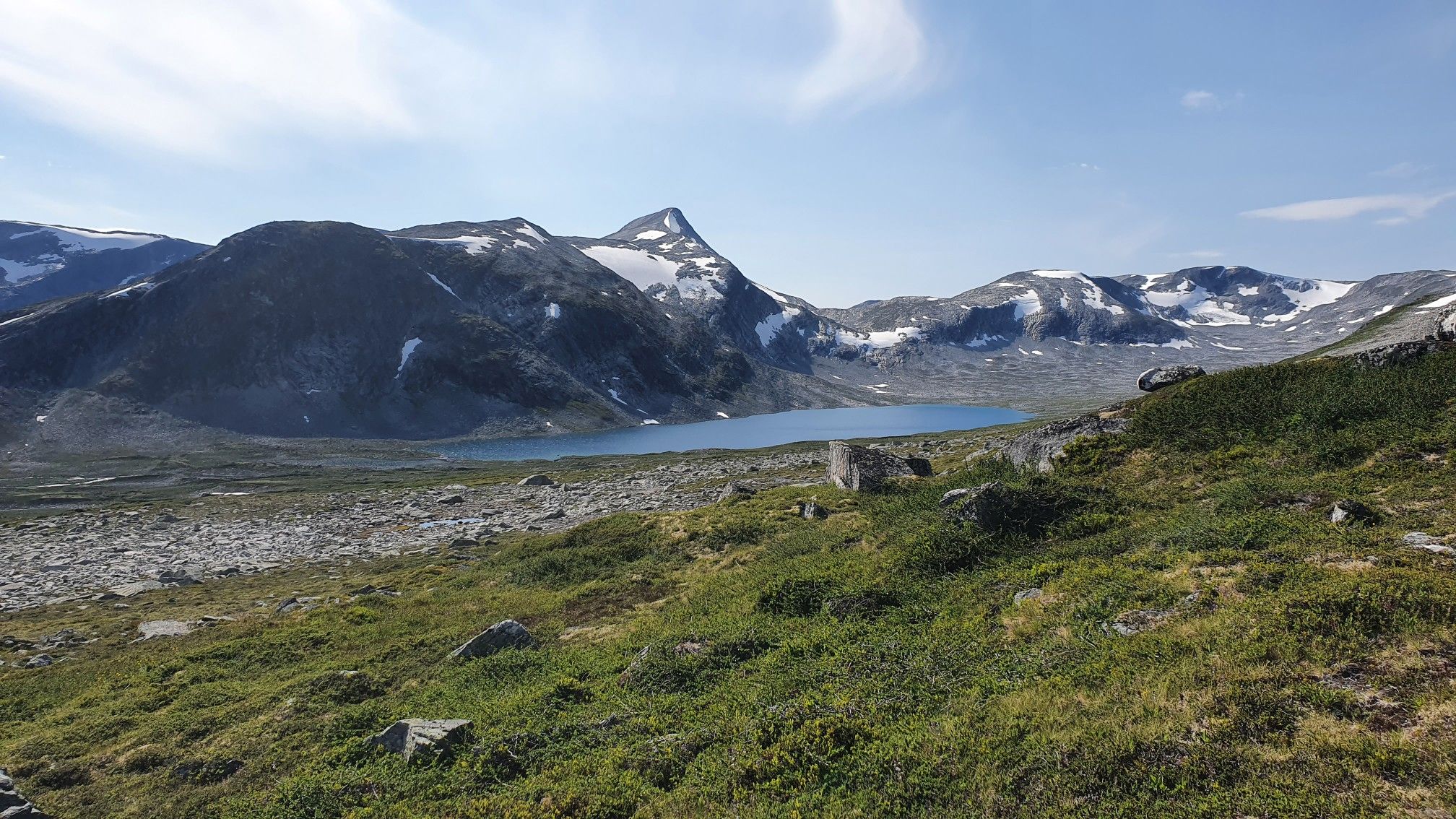
SignaTUR i Tafjordfjella – Into Møre og Romsdal's mountainous wilds
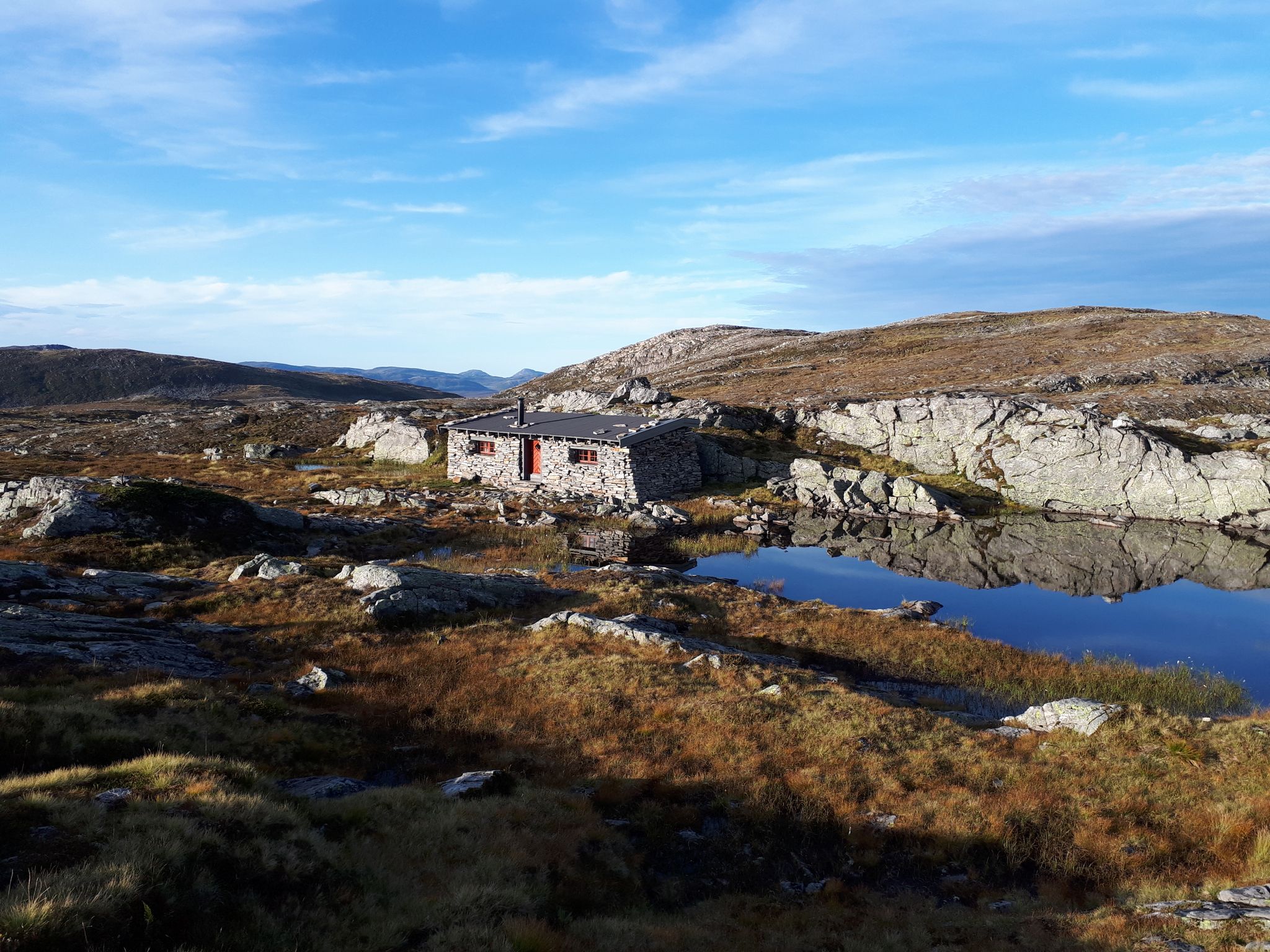
SignaTUR Fjordruta – Where sky, sea, fjords and mountains meet
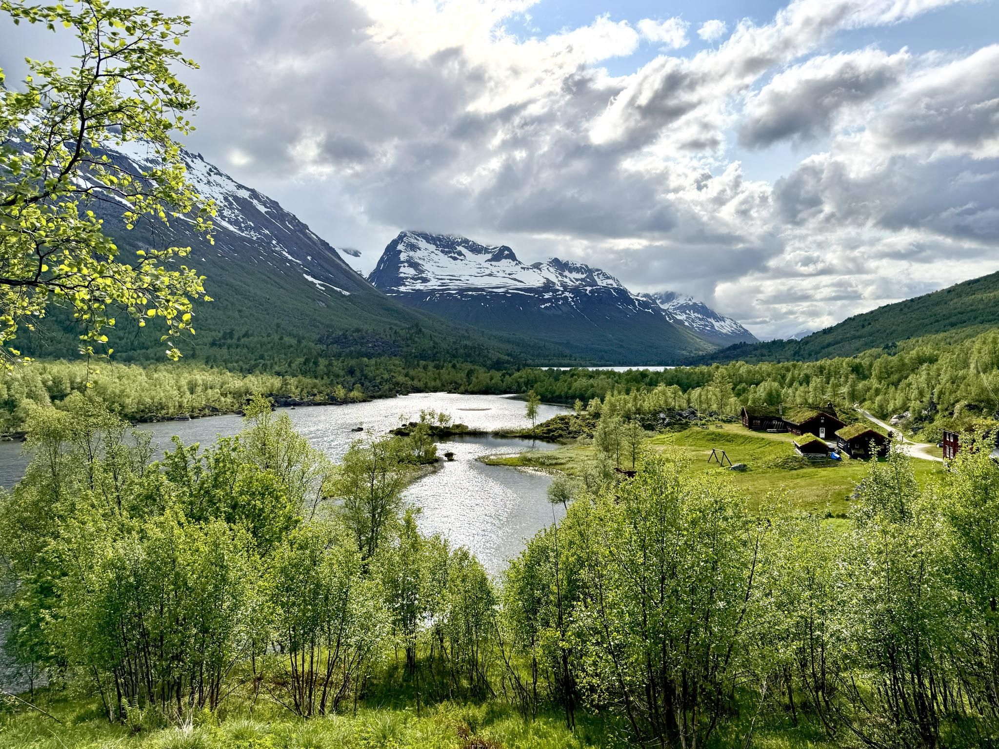
SignaTUR Trollheimen – Discover the mountainous 'home of the trolls'
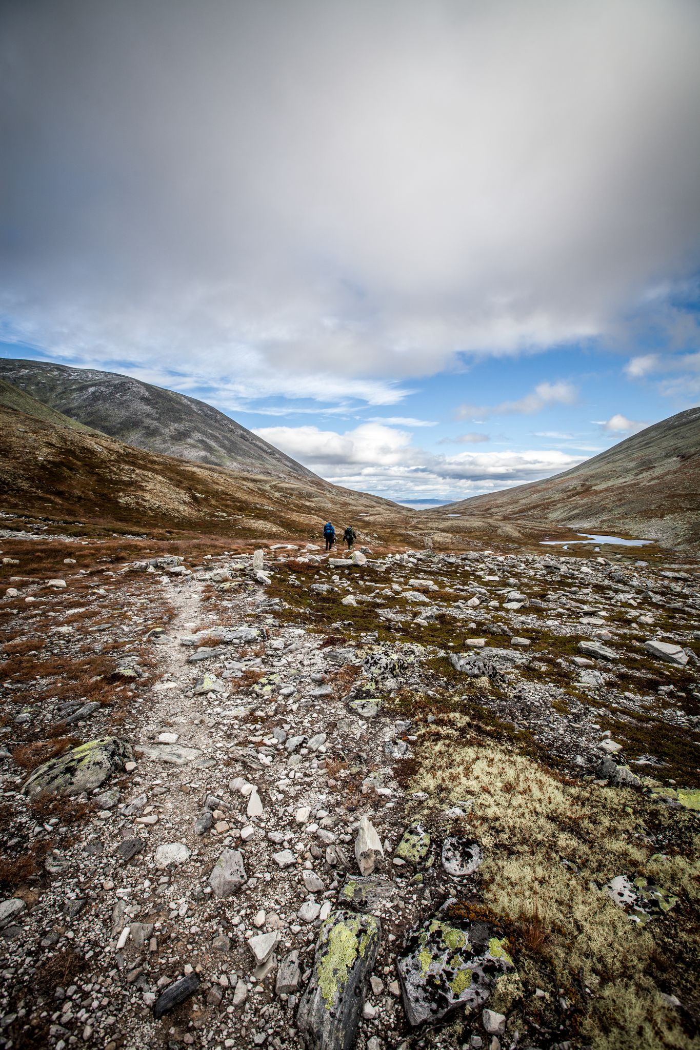
Hiking Rondane – six days in Norway's oldest national park
Other adventures in the Jotunheimen Mountains


Tips from the Community

This beautiful, scenic hiking trail is named after King Sverre. Today, it forms a path – a very natural path – which blends in and becomes one with the vegetation.
0
0
This series of narrow, steep switchbacks is an old road that has been built up and reinforced with stone walls. This King's Road from has been built in1793 and is now a beautiful historic road 3 hours from Bergen.
0
0

No real difficulty until the summit. Be careful in case of snow.
0
0

A visit is definitely worth it.
0
0

This hut is quite small, but very cozy. Inside, you can buy warm drinks and take a good break before heading down. There are also small souvenirs for sale. From the outside, the building looks really beautiful, even when it's frozen.
1
0
The top spot in Norway. Even in summer, there's snow there, and the weather can be really bad. But when it's sunny, you can see the surroundings so well. There are also small binoculars, and the hut is right next to it. A place I highly recommend. It's not easy to get there, but it's worth it.
0
0

At this point, you can show off your athleticism, as countless steps await you before you reach the top. You'll enjoy beautiful views of the mountains at every turn. There are also small coves with seating areas where you can relax. Once you reach the top, you'll receive a reward telling you how many steps you've climbed.
0
0
Beautiful old road construction
0
0
Frequently Asked Questions
How many bus station hiking trails are available in the Jotunheimen Mountains?
The Jotunheimen Mountains offer a vast network of trails accessible by bus. There are over 3,700 routes in the region, with many starting points conveniently located near bus stops, making it easy to explore this stunning alpine landscape.
What is the best time of year for bus-accessible hikes in Jotunheimen?
The best time for hiking in Jotunheimen is typically from late June to early September, when the snow has largely melted from the higher elevations and bus services are most frequent. During this period, you'll experience the full beauty of the alpine scenery, including lush valleys and accessible peaks. Autumn can also be beautiful with vibrant colors, but be prepared for colder temperatures and potential early snow.
Are there any family-friendly hiking routes accessible by bus in Jotunheimen?
Yes, Jotunheimen offers many options suitable for families. While specific routes vary, many of the easier and moderate trails are great for all ages. Look for routes with less elevation gain and shorter distances. The region's well-developed hut-to-hut system also allows for comfortable multi-day trips with children.
Can I bring my dog on bus-accessible trails in Jotunheimen?
Generally, dogs are welcome on hiking trails in Jotunheimen, but it's crucial to keep them on a leash, especially during nesting seasons and when near livestock. Always check local regulations for specific trails or national park rules, as some areas might have restrictions. Remember to pack out all waste.
What kind of terrain and elevation can I expect on these bus-accessible hikes?
Jotunheimen's terrain is incredibly varied. You can expect everything from gentle paths through lush valleys to challenging ascents up rocky peaks. Many bus-accessible routes will take you through glacial valleys, past crystal-clear lakes, and up to viewpoints offering dramatic panoramas. For example, the hike to Galdhøpiggen involves significant elevation gain, while other routes might be flatter along lake shores.
Are there any circular walks that start and end at a bus stop?
Yes, many bus stops serve as excellent starting points for circular routes, allowing you to return to your original departure point without needing additional transport. These are ideal for day trips. An example of a moderate circular route is the Hovsåsen Loop, which offers a good balance of distance and elevation.
What are some notable landmarks or viewpoints I can reach from a bus station?
Jotunheimen is rich in dramatic landscapes. Many bus routes will drop you near trailheads leading to iconic spots. The famous Besseggen Ridge, for instance, is often accessed via ferry on Lake Gjende, which itself is reachable by bus. While not directly a bus station hike, the Galdhøpiggen summit, Norway's highest peak, is also accessible via trails from bus-served areas. You can also explore historical sites like Akershus Fortress or Bergenhus Fortress, though these are further afield from the main hiking areas.
Are there any waterfalls or unique natural features along bus-accessible trails?
Absolutely. The Jotunheimen region is known for its stunning waterways. The Utladalen Valley, often called a 'green oasis,' is particularly famous for its towering waterfalls and the River Utla, fed by glaciers. Many trails will lead you past these impressive natural spectacles, offering fantastic photo opportunities and refreshing stops.
What do other hikers enjoy most about hiking in the Jotunheimen Mountains?
The komoot community highly rates the Jotunheimen Mountains, with an average score of 4.5 stars. Reviewers frequently praise the dramatic alpine scenery, the well-maintained trail network, and the accessibility of challenging routes like Galdhøpiggen. The ability to combine bus travel with ferry services on lakes like Gjende for point-to-point hikes is also a popular highlight.
Are there less crowded bus station hikes available in Jotunheimen?
While iconic routes like Besseggen can be very popular, Jotunheimen's extensive trail network means you can often find quieter paths. To avoid crowds, consider hiking during the shoulder seasons (late spring/early autumn), starting your hike early in the morning, or choosing less-advertised trails. Exploring areas away from the most famous peaks can reveal equally stunning but more serene landscapes.
What amenities are typically available near bus stations in Jotunheimen?
Many bus stops in Jotunheimen are located near mountain lodges (DNT huts) or small villages. These often provide basic amenities such as accommodation, food, and sometimes small shops for supplies. It's always advisable to check in advance for specific services at your chosen bus stop, especially if you plan a multi-day trip.
Most popular routes in the Jotunheimen Mountains
Most popular attractions in the Jotunheimen Mountains

Get inspired with the komoot mobile app


Explore more
Browse the best Hikes in other regions.
