The best waterfall hikes and walks in the Jotunheimen Mountains
4.5
(61279)
338,448
hikers
339
hikes
Waterfall hiking trails in the Jotunheimen Mountains traverse a dramatic landscape sculpted by ancient glaciers, featuring towering peaks, deep valleys, and pristine waterways. The region is characterized by hard gabbro rock, intricately carved over millennia, giving rise to its rugged topography. Hikers will encounter vast glacier fields, numerous clear alpine lakes like Gjende Lake, and an abundance of waterfalls and rivers. This arctic-alpine ecosystem offers varied terrain, from challenging alpine climbs to expansive high-altitude traverses.
Best waterfall hiking trails in…
Last updated: May 25, 2026
4.8
(1079)
7,030
hikers
6.05km
01:52
230m
230m
Easy hike. Great for any fitness level. Easily-accessible paths. Suitable for all skill levels.
4.6
(142)
709
hikers
20.4km
05:49
150m
1,020m
Hard hike. Very good fitness required. Easily-accessible paths. Suitable for all skill levels.

Sign up for free
4.8
(71)
375
hikers
3.02km
01:15
260m
260m
Easy hike. Great for any fitness level. Easily-accessible paths. Suitable for all skill levels.
4.3
(67)
257
hikers
8.49km
02:15
90m
90m
Moderate hike. Good fitness required. Easily-accessible paths. Suitable for all skill levels.
4.8
(29)
210
hikers
9.82km
05:00
870m
870m
Hard hike. Very good fitness required. Mostly accessible paths. Sure-footedness required.
Get access to more routes and recommendations from other explorers.
Sign up for free
Already have an account?
Our route recommendations are based on thousands of hikes, rides, and runs completed by other people on komoot.
Start today with a free account
Your next adventure awaits.
Login or Signup
Popular around Jotunheimen Mountains
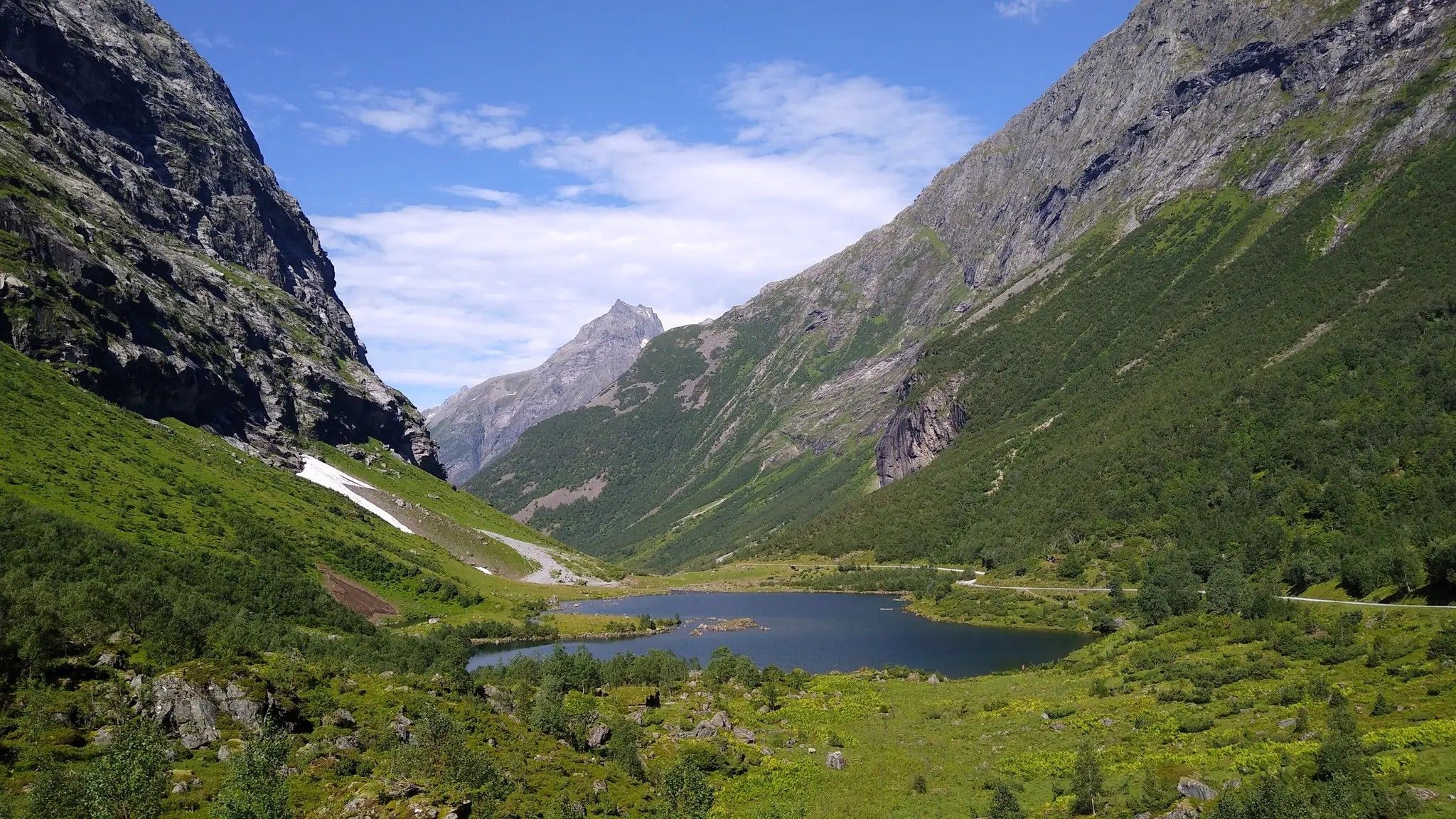
Hjørundfjorden Rundt — exploring the ancient Sunnmøre Alps
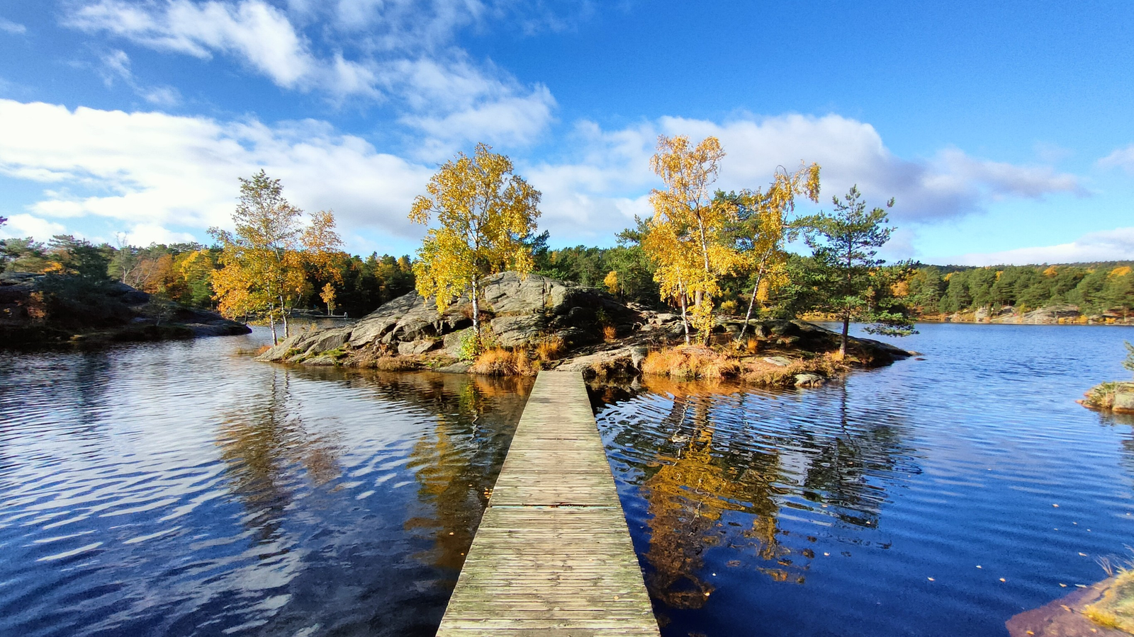
The Child Wanderer Path – Kvinesdal to Landvik
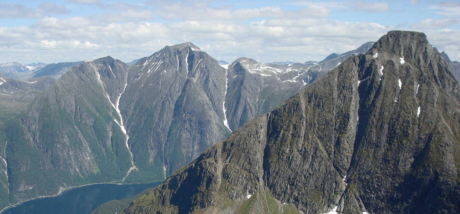
SignaTUR Romsdalstien – From the fjord to majestic mountains
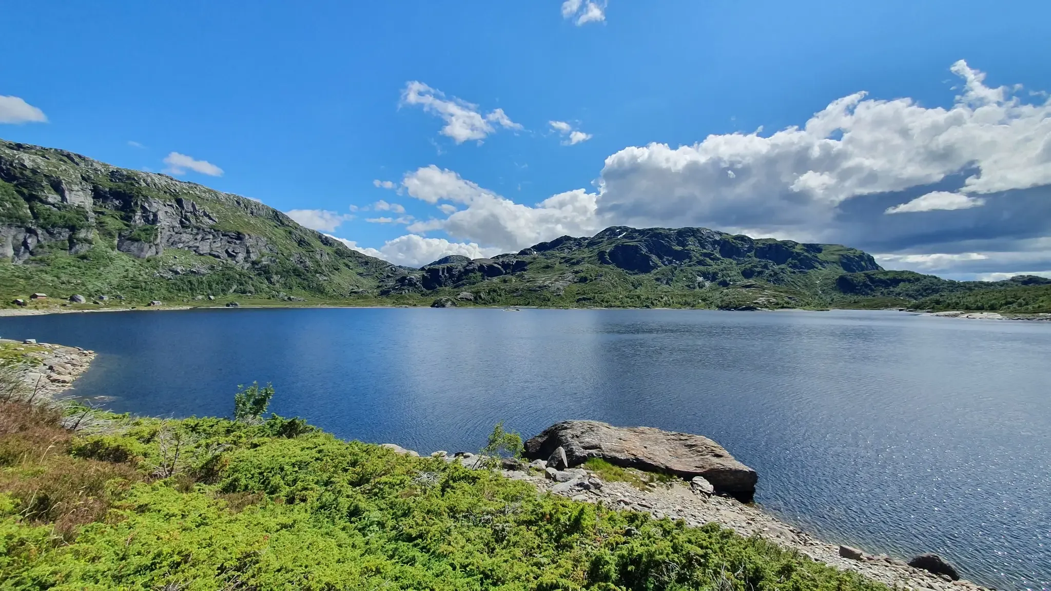
SignaTUR Gullruta i Etnefjellene – Trekking Norway's Golden Route
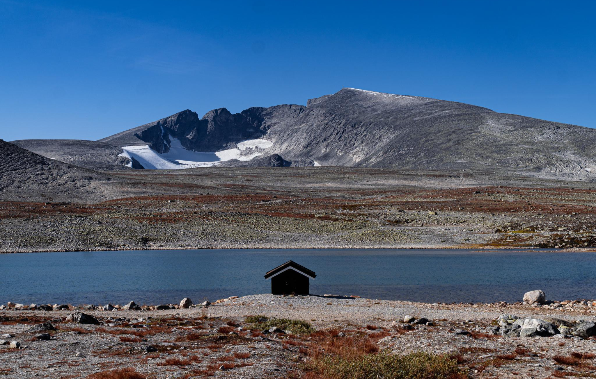
SignaTUR SAGA – Reindeer, wild trails and mighty peaks
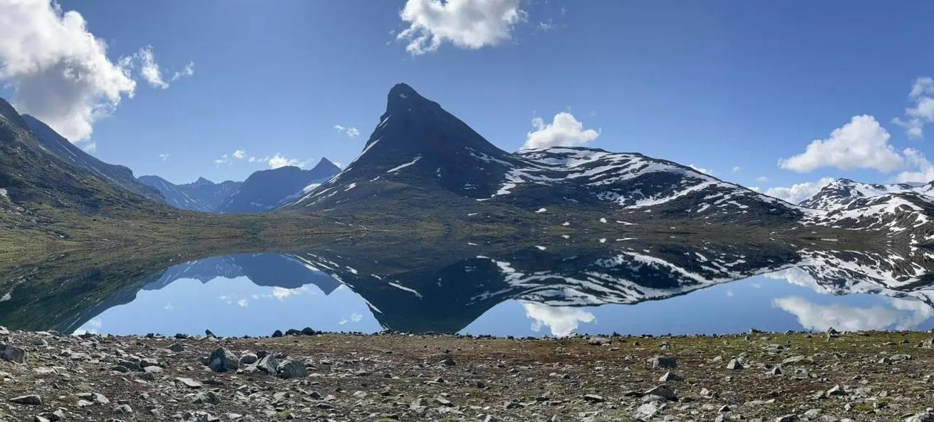
SignaTUR Omveien – Vast wilds, epic peaks and deep valleys
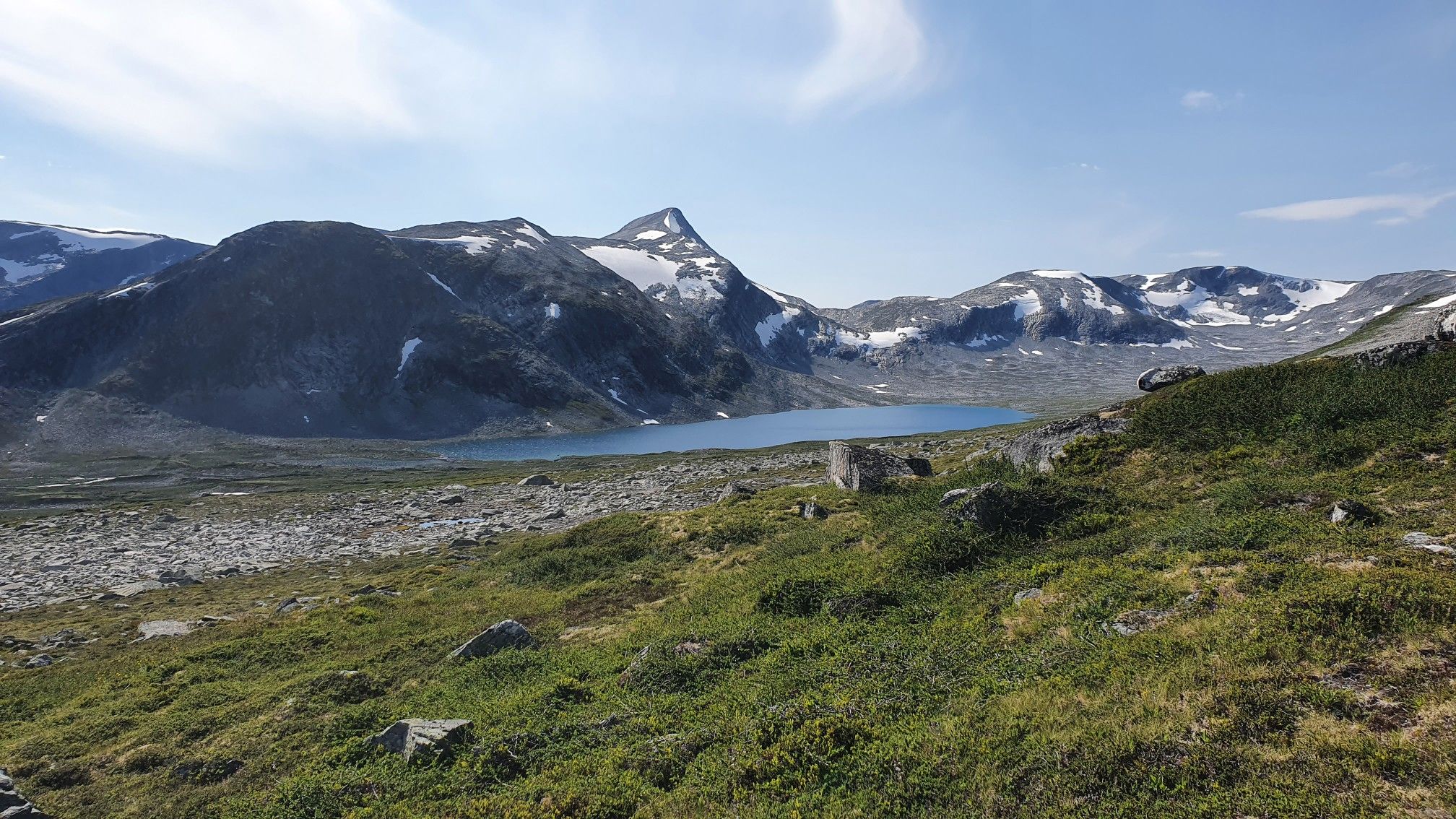
SignaTUR i Tafjordfjella – Into Møre og Romsdal's mountainous wilds
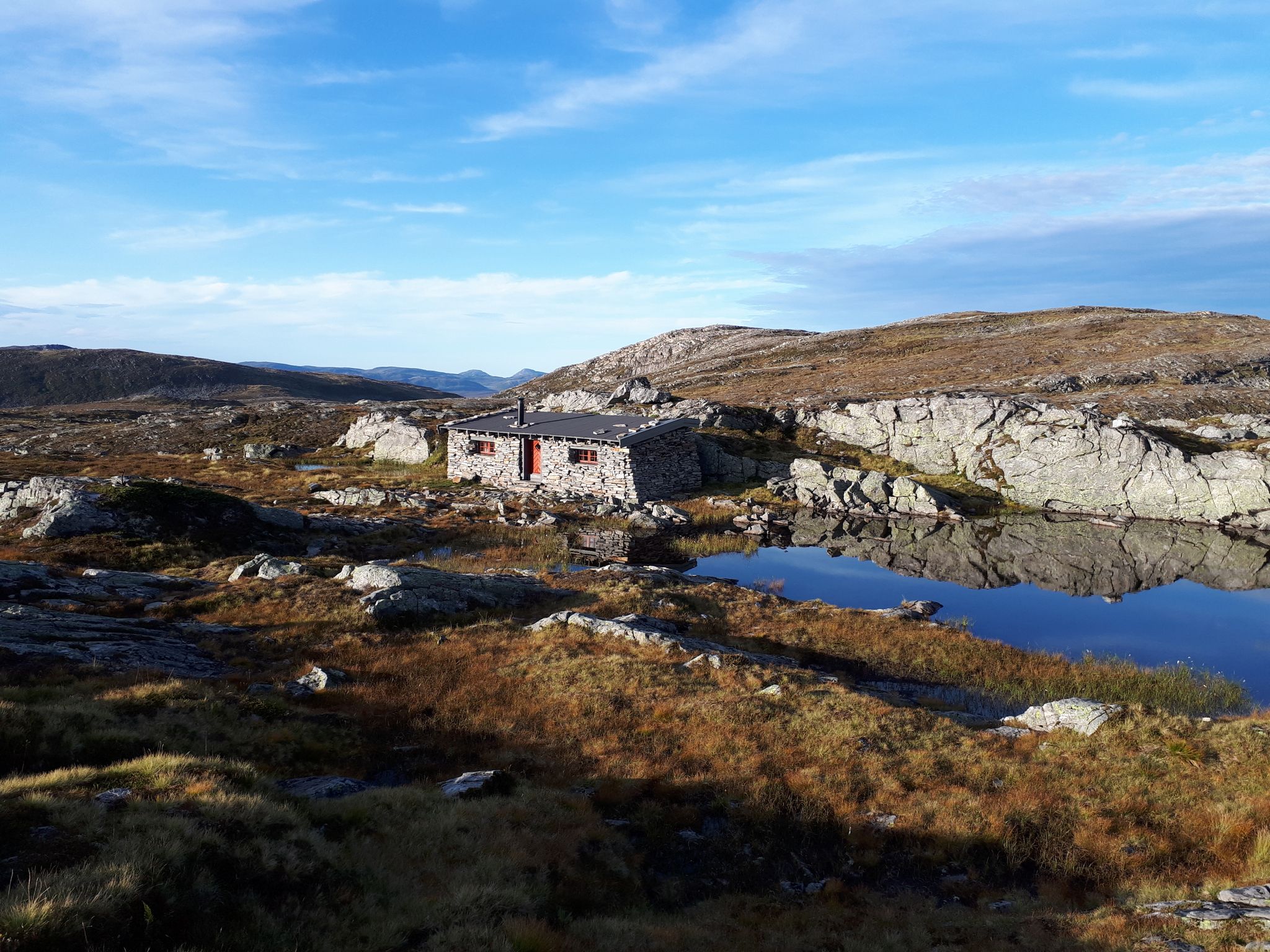
SignaTUR Fjordruta – Where sky, sea, fjords and mountains meet
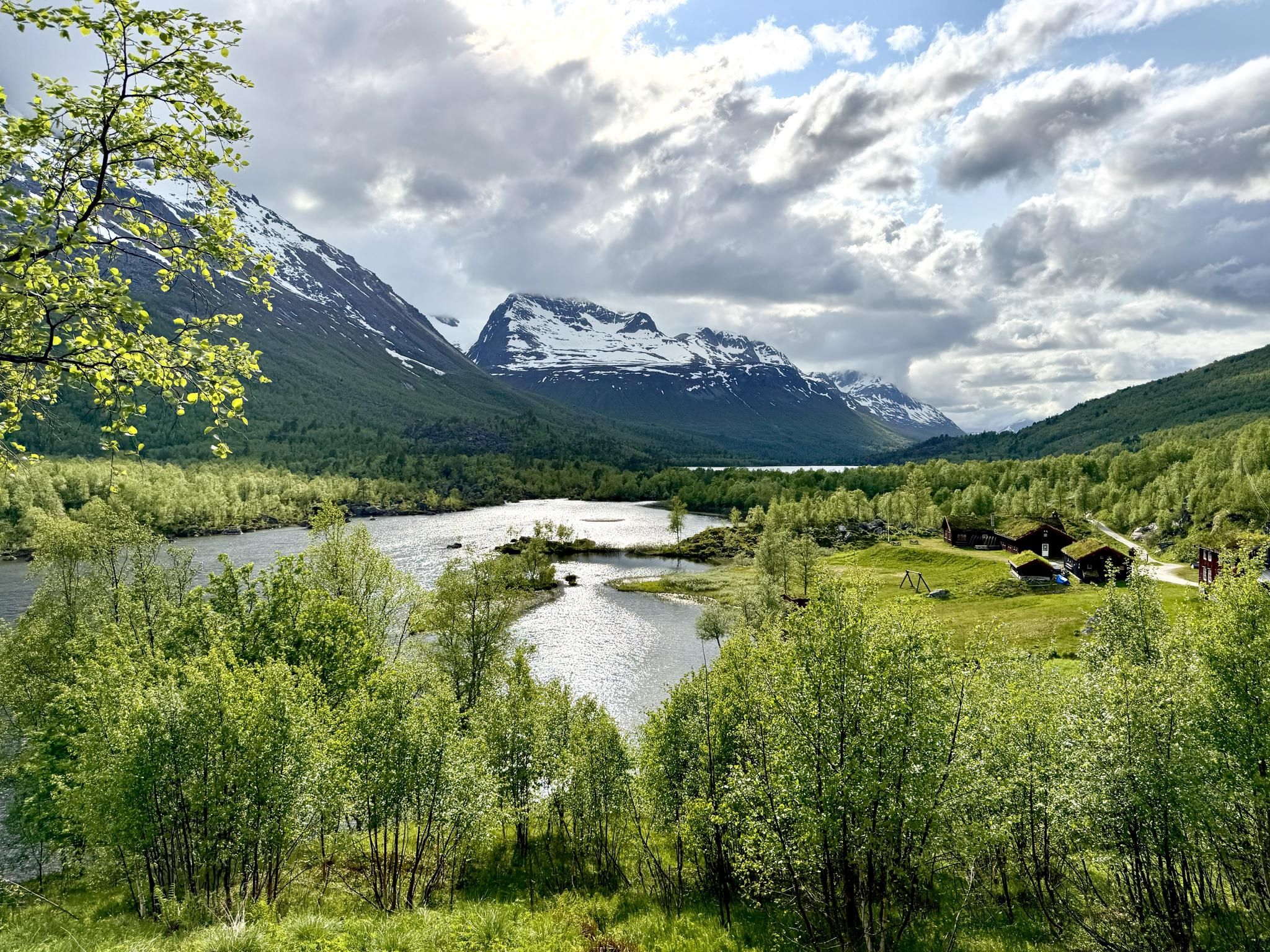
SignaTUR Trollheimen – Discover the mountainous 'home of the trolls'
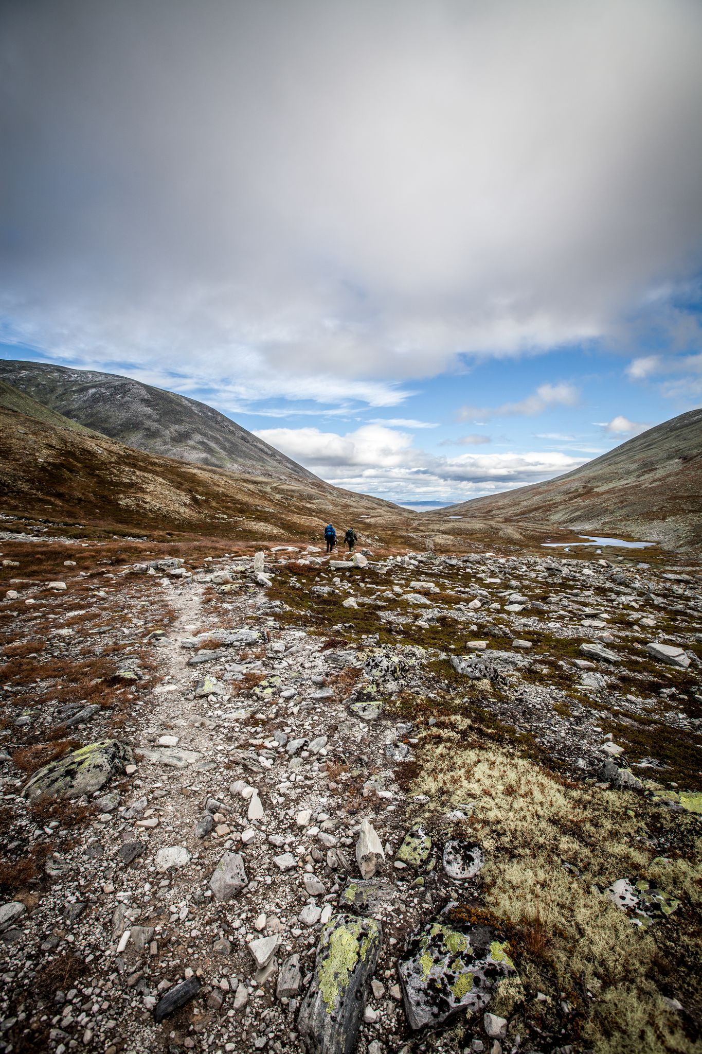
Hiking Rondane – six days in Norway's oldest national park
Other adventures in the Jotunheimen Mountains


Tips from the Community

The hike to Storsæterfossen is definitely worthwhile and shouldn't be missed if you want to explore the Geirangerfjord. The waterfall is very impressive and offers the rare opportunity to walk behind it and experience it up close. But be careful: The path behind the waterfall is very slippery in places! However, there are ropes provided for support.
3
0
The opportunity to admire Storsæterfossen from behind or below, experiencing it with all your senses, is an impressive attraction that shouldn't be missed when exploring the Geirangerfjord. However, caution and sure footing are required, as the path leading under the roaring waterfall is quite slippery in places! Feel free to hold onto the provided ropes!
3
0

The Briksdal Glacier is an arm of the 486 square kilometre Jostedal Glacier, the largest glacier in Europe
0
0

It is frightening how the glacier is retreating
0
0
Very nice place
0
0

Don't walk on the west bank of the river in april, it's flooded by water falls and river. Walk on the east bank, the bike and car road.
0
0
You need to get off at Vatnahalsen instead of Myrdal, at least in april.
0
0

Lomseggen (1,289 m) rises high above the Norwegian village of Lom, offering a spectacular panoramic view of the valley and surrounding mountain ranges. The ascent is challenging, with a steep and rocky trail that takes you through rugged terrain and along exposed ridges. Once at the top, you're rewarded with breathtaking views, including the snow-capped peaks of Jotunheimen.
0
0
Frequently Asked Questions
How many waterfall hiking trails are available in the Jotunheimen Mountains?
There are over 340 waterfall hiking trails in the Jotunheimen Mountains, offering a wide range of options for all skill levels. This includes more than 100 easy routes, nearly 200 moderate trails, and around 45 challenging ascents.
What makes the Jotunheimen Mountains a unique destination for waterfall hikes?
The Jotunheimen Mountains, known as the 'Home of the Giants,' offer a dramatic landscape sculpted by ancient glaciers. You'll find towering peaks, deep valleys, pristine alpine lakes like Gjende Lake, and an abundance of waterfalls and rivers. The region's hard gabbro rock has been intricately carved over millennia, creating a rugged and picturesque environment for hiking.
Are there any easy waterfall hikes suitable for beginners or families?
Yes, there are many easy options. For instance, the Storseterfossen Trail is an easy 3 km path where you can even walk behind the cascade. Another accessible choice is the Up to Briksdalsbreen glacier route, an easy 6 km trail leading to the foot of the glacier with views of glacial meltwater.
What is the best time of year to experience the waterfalls in Jotunheimen?
The best time to visit for waterfalls is typically during late spring and summer (June to August). During these months, snowmelt from the higher elevations feeds the rivers and cascades, resulting in the most powerful and spectacular waterfall displays. The weather is also generally clearer and more stable for hiking.
What kind of terrain can I expect on waterfall hikes in Jotunheimen?
The terrain varies significantly. You can expect everything from well-maintained paths through lush valleys to more rugged, rocky trails in higher alpine areas. The landscape is characterized by hard gabbro rock, shaped by glaciers, so some routes may involve uneven surfaces, ascents, and descents. Always check the specific route details for elevation changes and difficulty.
Are there any circular waterfall walks in the Jotunheimen Mountains?
Yes, there are circular options available. An example is the Geiranger Village – Storfossen Waterfall loop from Geiranger, a moderate 12 km trail that offers varied terrain and views of the Storfossen waterfall.
What do other hikers say about the waterfall trails in Jotunheimen?
The waterfall trails in the Jotunheimen Mountains are highly rated by the komoot community, with an average score of 4.5 stars from over 61,000 reviews. Hikers often praise the spectacular panoramas, the dramatic glacial landscapes, and the sheer power and beauty of the waterfalls.
Are there any notable natural features or landmarks to see near the waterfall trails?
Beyond the waterfalls themselves, the region is rich in natural wonders. You might encounter dramatic gorges like Ridderspranget Gorge, or other impressive cascades such as Vøringsfossen Waterfall. The landscape also features towering peaks, pristine alpine lakes, and vast glacier fields, all contributing to the majestic scenery.
Can I bring my dog on waterfall hikes in Jotunheimen?
Generally, dogs are welcome on hiking trails in the Jotunheimen Mountains. However, it's crucial to keep them on a leash, especially in areas with livestock or wildlife, and to follow local regulations. Always check specific trail rules or national park guidelines before you go.
What should I wear and bring for a waterfall hike in Jotunheimen?
Given the varied terrain and changeable mountain weather, it's advisable to wear layers, including waterproof and windproof outer shells. Sturdy hiking boots with good grip are essential. Bring plenty of water, snacks, a map or GPS device, and sun protection. Even in summer, temperatures can drop, and conditions can change quickly.
Are there any challenging waterfall treks for experienced hikers?
Yes, Jotunheimen offers challenging options for experienced hikers. While not solely focused on waterfalls, routes like From Myrkdal to Flåm via Flåm Railway, classified as difficult, traverse demanding terrain where you'll encounter various natural features, including powerful rivers and cascades. These routes often involve significant elevation changes and longer distances.
Is public transport available to reach waterfall hiking trailheads in Jotunheimen?
While Jotunheimen has a remote feel, there is some public transport available, including buses that connect to key entry points and mountain huts. Ferries also operate on lakes like Gjende, facilitating access to certain trails. However, for many trailheads, especially those deeper in the park, personal vehicles or local taxi services might be necessary. It's best to research specific routes and their access options in advance.
Most popular routes in the Jotunheimen Mountains
Most popular attractions in the Jotunheimen Mountains

Get inspired with the komoot mobile app


Explore more
Browse the best Hikes in other regions.
