The best walks and hikes in the Jotunheimen Mountains
4.5
(61288)
338,599
hikers
8,704
hikes
Hiking in the Jotunheimen Mountains offers diverse terrain, from towering peaks to deep valleys and extensive glaciers. The region is characterized by over 250 peaks exceeding 1,900 meters, including Northern Europe's highest, Galdhøpiggen. Glacial activity has carved out impressive landscapes, featuring crystal-clear lakes like the emerald-green Lake Gjende and numerous waterfalls. This alpine environment supports a rich ecosystem and provides a robust network of trails for various hiking experiences.
Best hiking trails in the Jotunheimen Mountains
- The most popular hiking route is Preikestolen Roundtrip, a 5.1 miles (8.3 km) trail that takes 3 hours 20 minutes to complete. This difficult route features significant elevation gain and panoramic views.
- Another top favourite among local hikers is Up to Briksdalsbreen glacier, an easy 3.8 miles (6.0 km) path. This trail leads to a prominent glacier, offering scenic views of the ice formations.
- Local hikers also love the Buarbreen Trail, a 3.0 miles (4.8 km) trail leading through varied terrain towards a glacier, often completed in about 2 hours 7 minutes.
- Hiking in the Jotunheimen Mountains is defined by towering peaks, extensive glaciers, and crystal-clear lakes. The network of trails offers options for different ability levels, from gentle valley strolls to demanding alpine routes.
- The routes in Jotunheimen Mountains are highly rated by the komoot community with an average score of 4.5 stars from over 61,000 reviews. More than 334,000 hikers have used komoot to explore Jotunheimen Mountains's varied terrain.
Last updated: May 26, 2026
4.8
(4602)
26,481
hikers
8.27km
03:20
370m
370m
Hike the difficult 5.1-mile Preikestolen Roundtrip to Pulpit Rock, gaining 1199 feet for stunning Lysefjord views.
4.8
(1079)
7,030
hikers
6.05km
01:52
230m
230m
Easy hike. Great for any fitness level. Easily-accessible paths. Suitable for all skill levels.

Sign up for free
4.9
(702)
3,728
hikers
4.80km
02:07
310m
320m
Hike the challenging 3.0-mile Buarbreen Trail in Folgefonna National Park to reach the impressive Buarbreen Glacier, gaining 1023 feet.
4.8
(522)
2,301
hikers
15.2km
05:09
690m
690m
Hike the difficult 9.5-mile Husedalen trail in Kinsarvik, Hardanger, to experience four powerful waterfalls and stunning valley views.
4.9
(299)
2,725
hikers
14.5km
07:16
1,110m
1,110m
Hard hike. Very good fitness required. Sure-footedness, sturdy shoes and alpine experience required.
4.8
(380)
1,968
hikers
10.8km
03:17
320m
320m
Hard hike. Good fitness required. Sure-footedness, sturdy shoes and alpine experience required.
4.8
(219)
838
hikers
9.68km
04:43
610m
610m
Hard hike. Good fitness required. Sure-footedness, sturdy shoes and alpine experience required.
4.6
(398)
1,810
hikers
13.2km
04:36
580m
220m
Moderate hike. Good fitness required. Mostly accessible paths. Sure-footedness required.
4.7
(430)
1,836
hikers
6.03km
02:05
320m
320m
Hike the Himakånå Trail, a moderate 3.7-mile route offering expansive views over Lysevatnet lake and the Nedstrandsfjord.
4.8
(320)
1,480
hikers
5.21km
02:04
260m
260m
Hard hike. Good fitness required. Sure-footedness, sturdy shoes and alpine experience required.
Get access to more routes and recommendations from other explorers.
Sign up for free
Already have an account?
Our route recommendations are based on thousands of hikes, rides, and runs completed by other people on komoot.
Start today with a free account
Your next adventure awaits.
Login or Signup
Popular around Jotunheimen Mountains
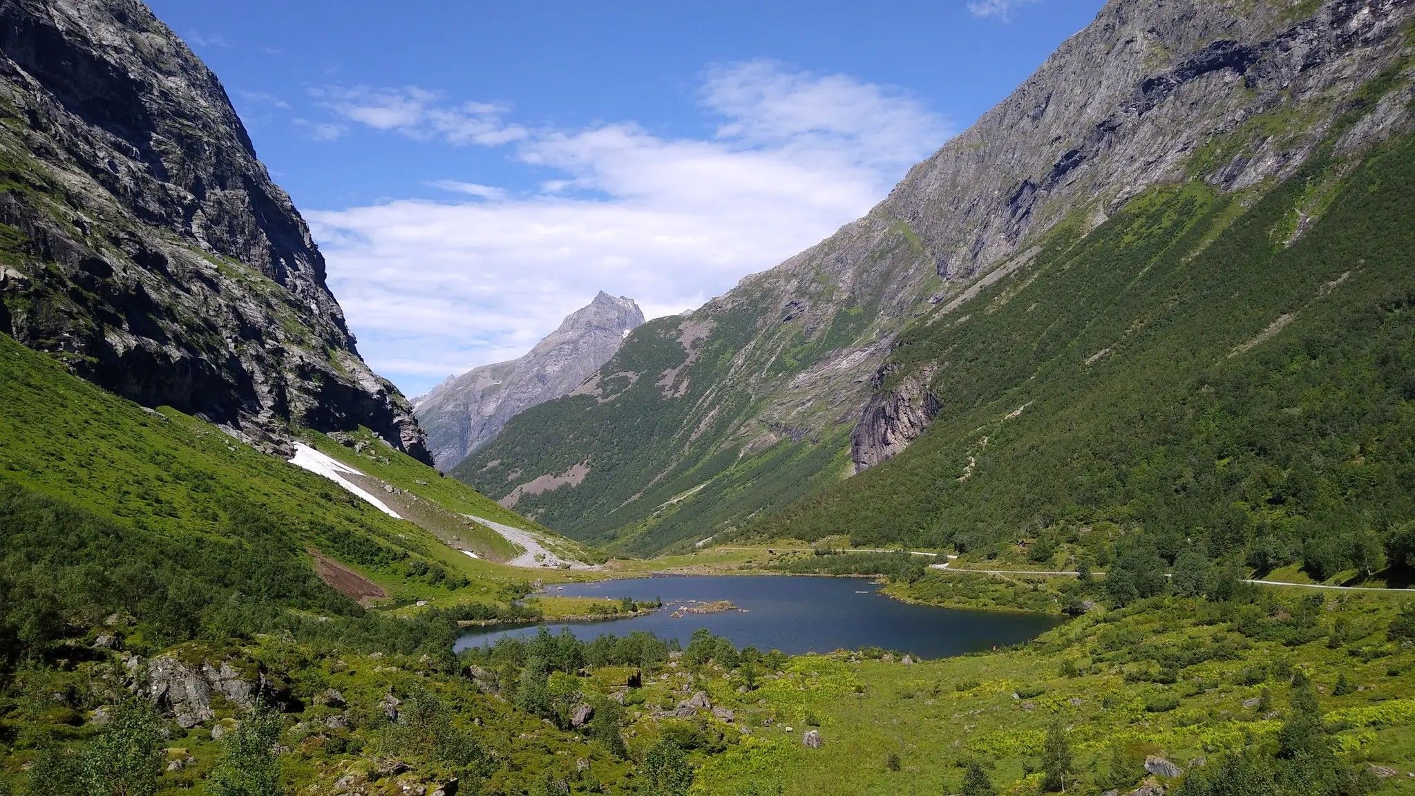
Hjørundfjorden Rundt — exploring the ancient Sunnmøre Alps
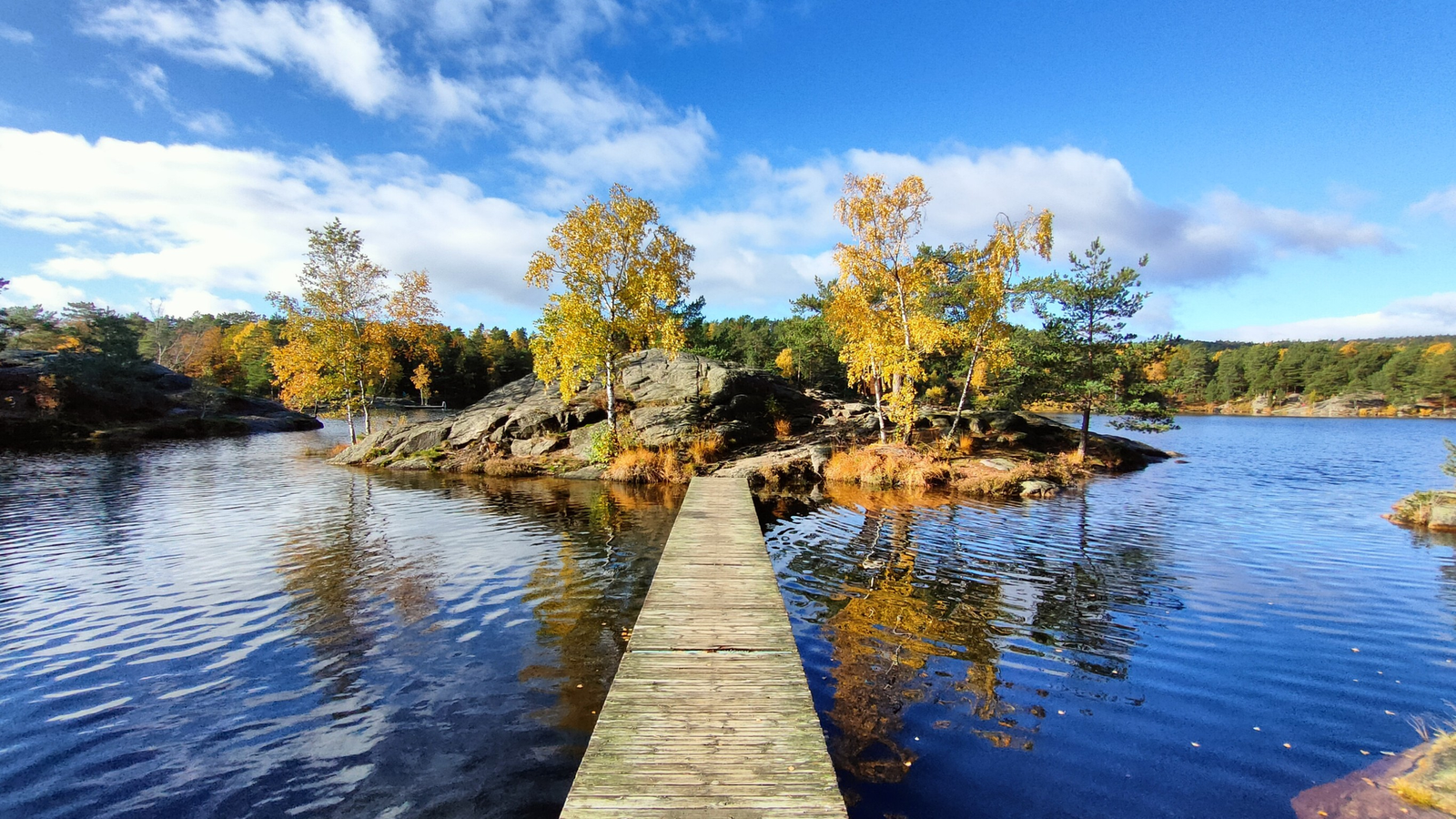
The Child Wanderer Path – Kvinesdal to Landvik
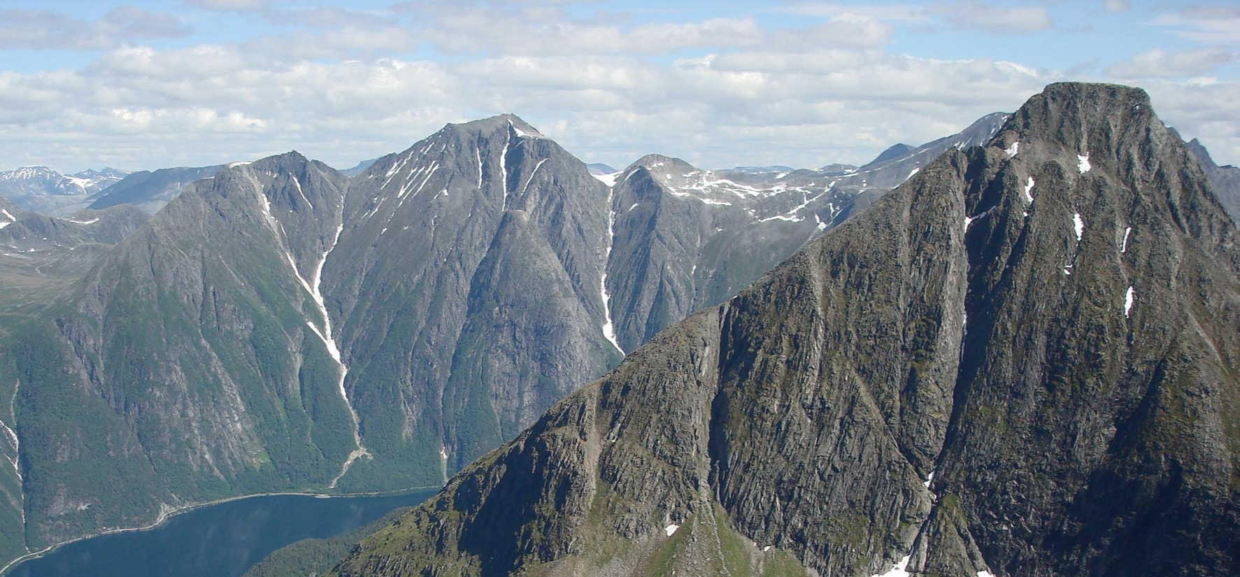
SignaTUR Romsdalstien – From the fjord to majestic mountains
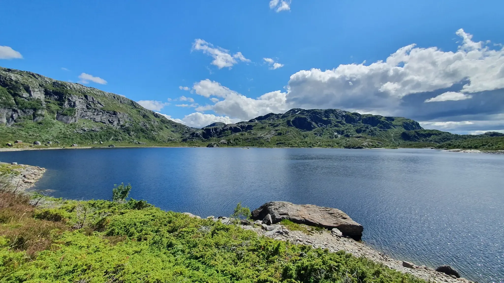
SignaTUR Gullruta i Etnefjellene – Trekking Norway's Golden Route
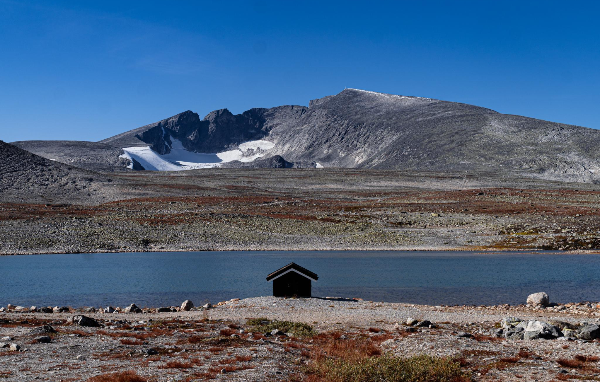
SignaTUR SAGA – Reindeer, wild trails and mighty peaks
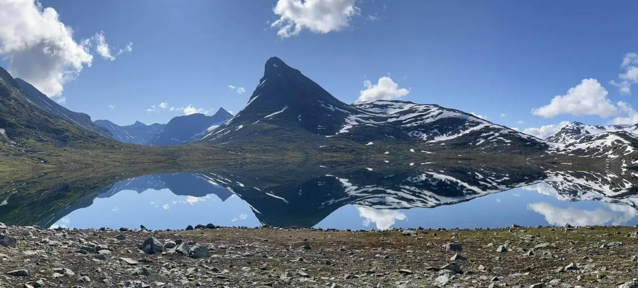
SignaTUR Omveien – Vast wilds, epic peaks and deep valleys
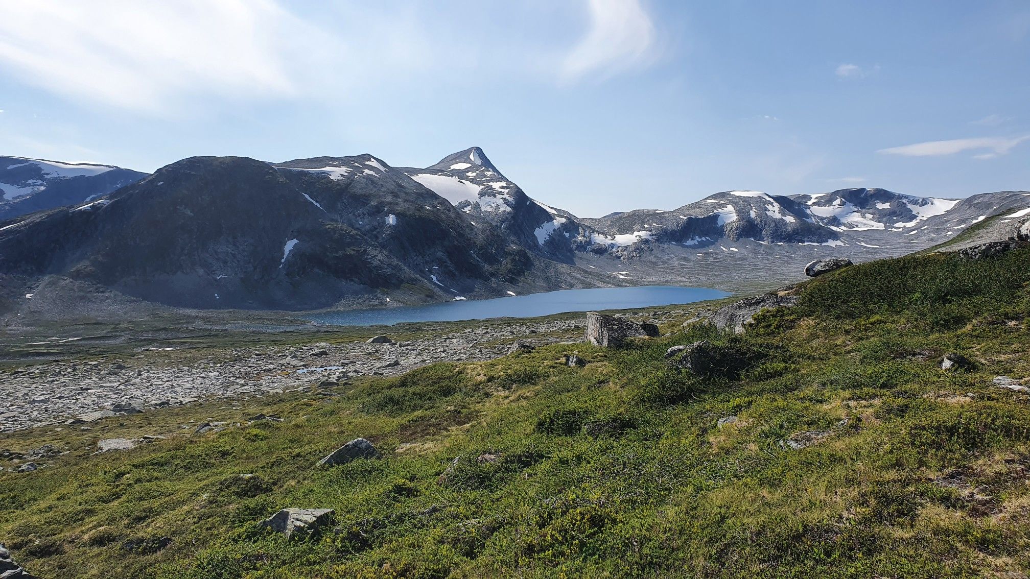
SignaTUR i Tafjordfjella – Into Møre og Romsdal's mountainous wilds
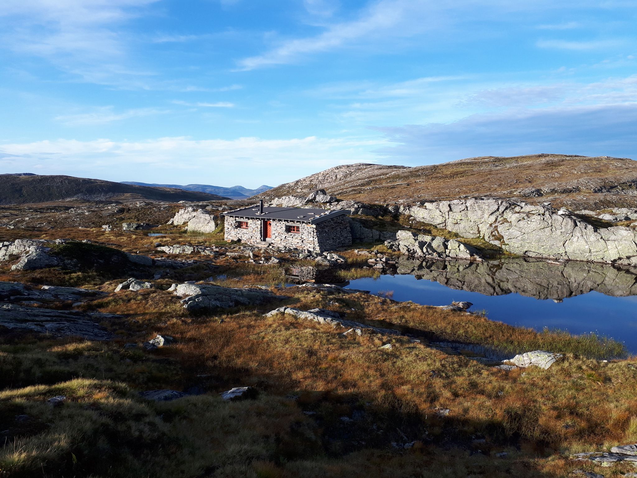
SignaTUR Fjordruta – Where sky, sea, fjords and mountains meet
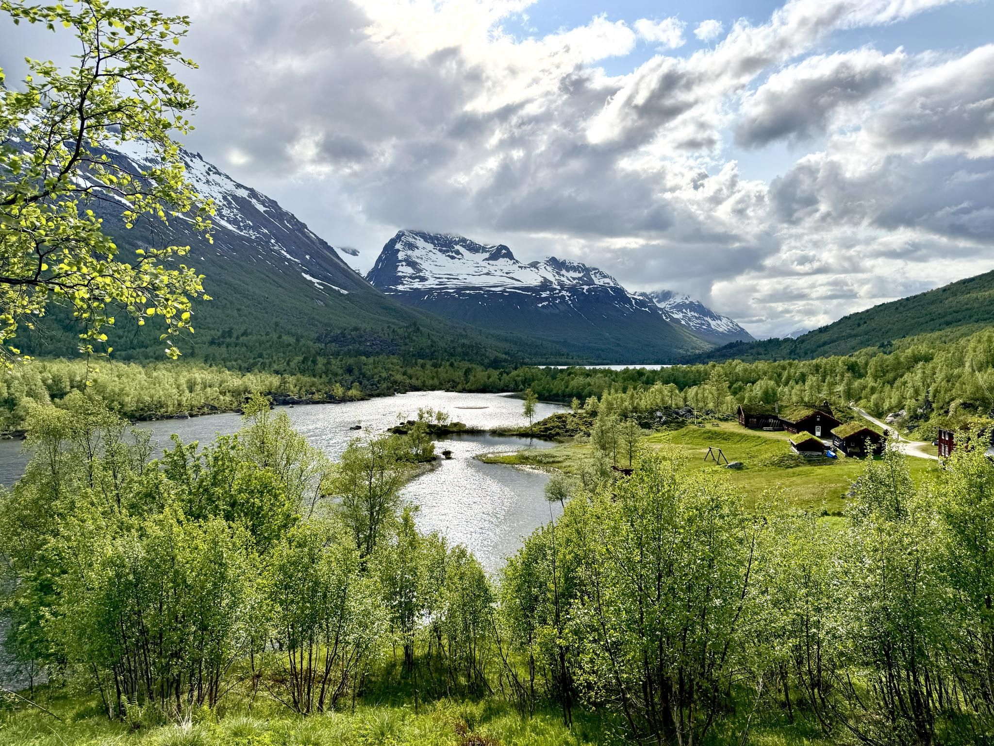
SignaTUR Trollheimen – Discover the mountainous 'home of the trolls'
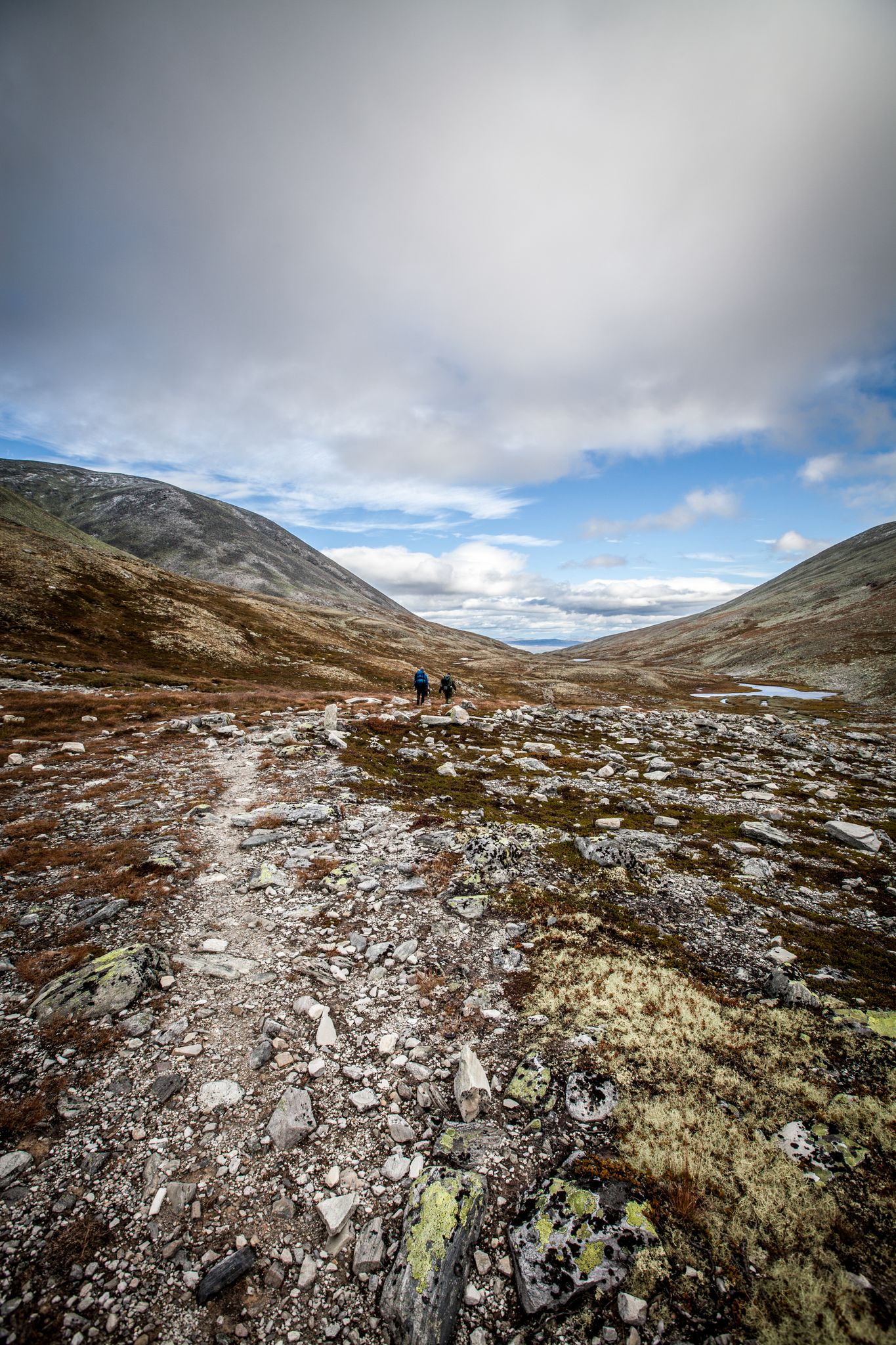
Hiking Rondane – six days in Norway's oldest national park
Other adventures in the Jotunheimen Mountains


Tips from the Community

The view of the lakes, from the ridge, is incredible so be sure to allow plenty of time for breaks. It's a demanding hike so you definitely need to be sure-footed. If you hike the entire ridge, hopefully you'll find a place to stay overnight in Mermurubu.
0
0


Nykkjesøyfossen is the third of Husedalen's four major waterfalls. With a drop of around 60 meters (197 ft), it's a glorious sight, cascading down its rocky ledge.
1
0

end point of a beautiful walk
0
0

The waterfall is easily accessible via a gravel road.
0
0

Postcard motif😍👌
0
0
The beach is very rocky, so wear swimming shoes! And the entrance is very algae-covered. The bay itself is very inviting and idyllic.
0
0
Frequently Asked Questions
How many hiking trails are available in the Jotunheimen Mountains?
The Jotunheimen Mountains offer a vast network of trails, with over 8,600 hiking routes recorded on komoot. This includes a wide range of options, from easy strolls to challenging alpine ascents.
What do other hikers enjoy most about the Jotunheimen Mountains?
The Jotunheimen Mountains are highly rated by the komoot community, with an average score of 4.5 stars from over 61,000 reviews. Hikers frequently praise the dramatic alpine landscapes, the towering peaks, and the crystal-clear glacier-fed lakes that define the region.
Are there easy hiking trails suitable for beginners or families in Jotunheimen?
Yes, Jotunheimen offers many accessible options. Over 3,300 easy trails are available. For a gentle introduction, consider routes like Up to Briksdalsbreen glacier, which is 6 km long, or the Easy hike to Bondhusvatnet, a 4.7 km path leading to a beautiful lake.
What kind of challenging hikes can I find in Jotunheimen?
For experienced hikers, Jotunheimen is home to nearly 1,000 difficult routes. The region is famous for its towering peaks, including Galdhøpiggen and Glittertind, Northern Europe's highest mountains. Iconic routes like the Besseggen Ridge offer dramatic views and require good fitness. A challenging option from our guide is the Preikestolen Roundtrip, which covers 8.3 km with significant elevation gain.
Can I see glaciers while hiking in Jotunheimen?
Absolutely. Jotunheimen is sculpted by extensive glaciers, offering stunning views and even opportunities for guided glacier hikes. Trails like Up to Briksdalsbreen glacier and Buarbreen Trail lead directly to these impressive ice formations, allowing you to experience the glacial landscape up close.
Are there any trails with waterfalls in the Jotunheimen Mountains?
Yes, the glacial activity in Jotunheimen has created numerous deep valleys with impressive waterfalls. The Utladalen Valley, for example, is known for its many cascades. You can also find highlights like Waterfalls on the Trail to Trollkirka, offering scenic views of flowing water.
What are some notable landmarks or viewpoints to explore in Jotunheimen?
Jotunheimen offers breathtaking landmarks. The famous Besseggen Ridge provides iconic views over the emerald-green Lake Gjende and the deep blue Lake Bessvatnet. Other notable viewpoints include Preikestolen (Pulpit Rock) and View of Lysefjord, both offering spectacular panoramic vistas.
Are there any caves to explore near the hiking trails?
Yes, the region features several interesting cave systems. You can explore highlights such as Trollkyrka - First Cave with underground waterfall, the Brufjell Caves, and the Trollholene Caves, offering a unique underground experience.
When is the best time of year to go hiking in Jotunheimen?
The prime hiking season in Jotunheimen is typically from late June to mid-September. During this period, most trails are free of snow, and the weather is generally more stable. However, conditions can change rapidly in the mountains, so always be prepared for varying weather.
Are there options for multi-day or hut-to-hut hiking in Jotunheimen?
Yes, Jotunheimen is ideal for multi-day treks. The Norwegian Mountain Touring Association (DNT) maintains an extensive network of mountain lodges and cabins throughout the area. This allows hikers to plan hut-to-hut routes, reducing the need to carry heavy camping gear and providing opportunities to experience traditional Norwegian mountain hospitality.
Is it possible to reach trailheads in Jotunheimen using public transport?
While some popular trailheads, like those for the Besseggen Ridge, have public transport connections (e.g., bus services to Gjendesheim), many other routes require private vehicle access. It's advisable to research specific trailhead access in advance if relying on public transport.
What should I wear for summer hiking in Jotunheimen?
Even in summer, mountain weather can be unpredictable. It's crucial to dress in layers, including a waterproof and windproof outer shell. Bring warm clothing (even if the forecast is good), sturdy hiking boots, a hat, gloves, and plenty of water and snacks. Sun protection is also important due to the high altitude.
Most popular routes in the Jotunheimen Mountains
Most popular attractions in the Jotunheimen Mountains

Get inspired with the komoot mobile app


Explore more
Browse the best Hikes in other regions.
