The best hikes from bus stations in the San Juan Mountains
4.9
(193)
4,036
hikers
5
hikes
Bus station hiking trails in the San Juan Mountains offer access to a rugged subrange of the Rocky Mountains in southwestern Colorado. The region is characterized by high, jagged peaks, serene alpine valleys, and extensive woodlands. Rivers like the Animas and Piedra carve through the landscape, creating scenic valleys and canyons. As elevation increases, the woodlands transition to alpine tundra and wildflower meadows.
Best bus station hiking trails in the San Juan Mountains
- The most popular bus station hiking route…
Last updated: July 8, 2026
11
hikers
Moderate hike. Good fitness required. Easily-accessible paths. Suitable for all skill levels.
5.0
(1)
11
hikers
3.18km
01:02
150m
150m
Easy hike. Great for any fitness level. Easily-accessible paths. Suitable for all skill levels.

Sign up for free
4
hikers
5.19km
01:33
170m
170m
Easy hike. Great for any fitness level. Easily-accessible paths. Suitable for all skill levels.
3
hikers
17.2km
04:51
350m
350m
Moderate hike. Good fitness required. Easily-accessible paths. Suitable for all skill levels.
2
hikers
4.41km
01:08
30m
30m
Easy hike. Great for any fitness level. Easily-accessible paths. Suitable for all skill levels.
Our route recommendations are based on thousands of hikes, rides, and runs completed by other people on komoot.
Start today with a free account
Your next adventure awaits.
Login or Signup
Popular around San Juan Mountains

Colorado Trail — The pinnacle of wild Colorado
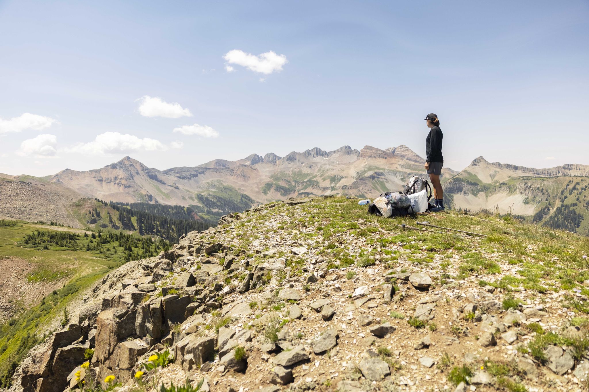
The Colorado Trail — Hiking from Silverton to Durango

The Continental Divide Trail — Across the sky of America

The Colorado Trail — Ten incredible days in the Rocky Mountains
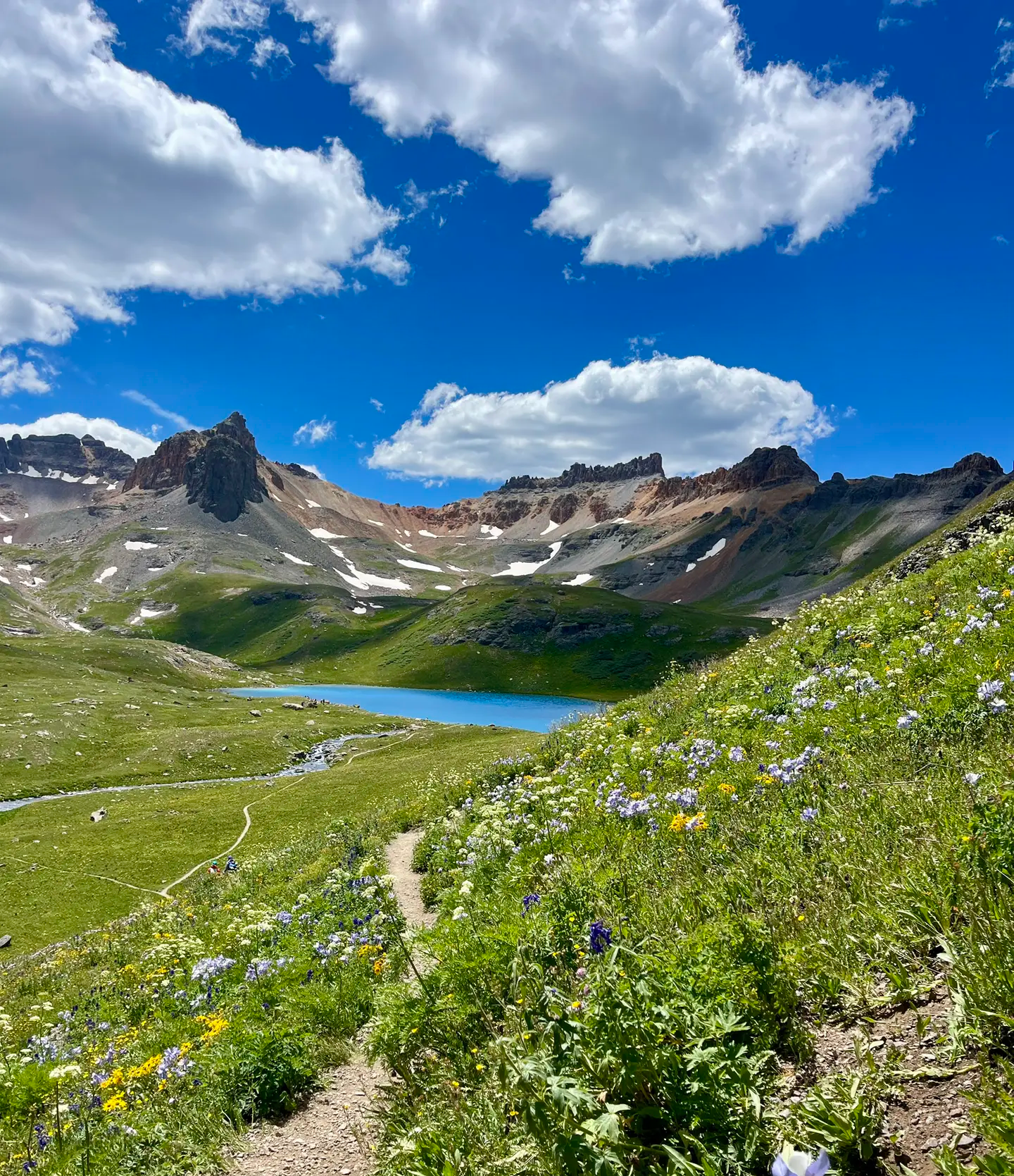
Softrock 100: Four Days Through Colorado’s Alpine Wilds
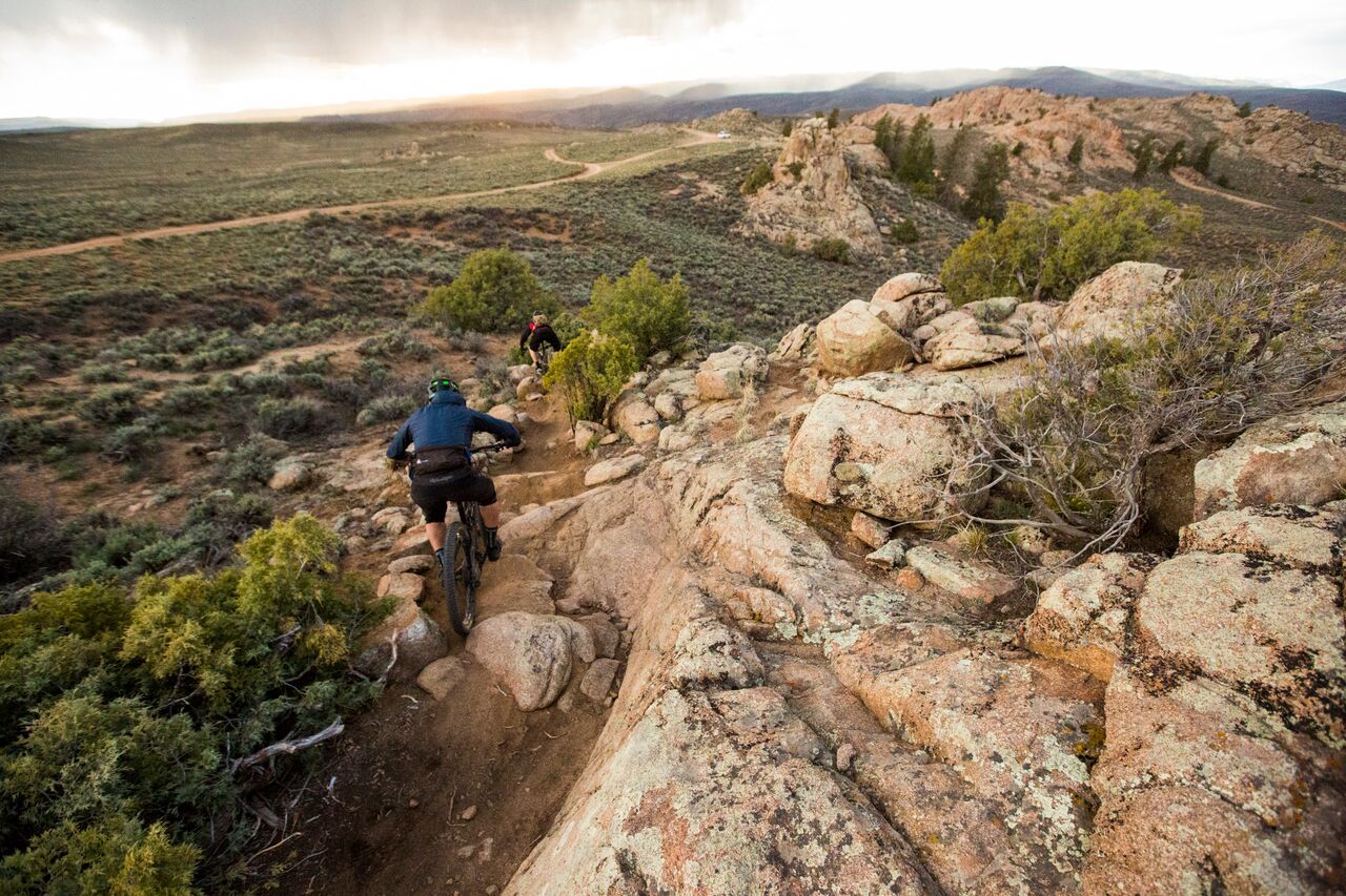
Hartman Rocks – rocky desert trails in Gunnison, Colorado
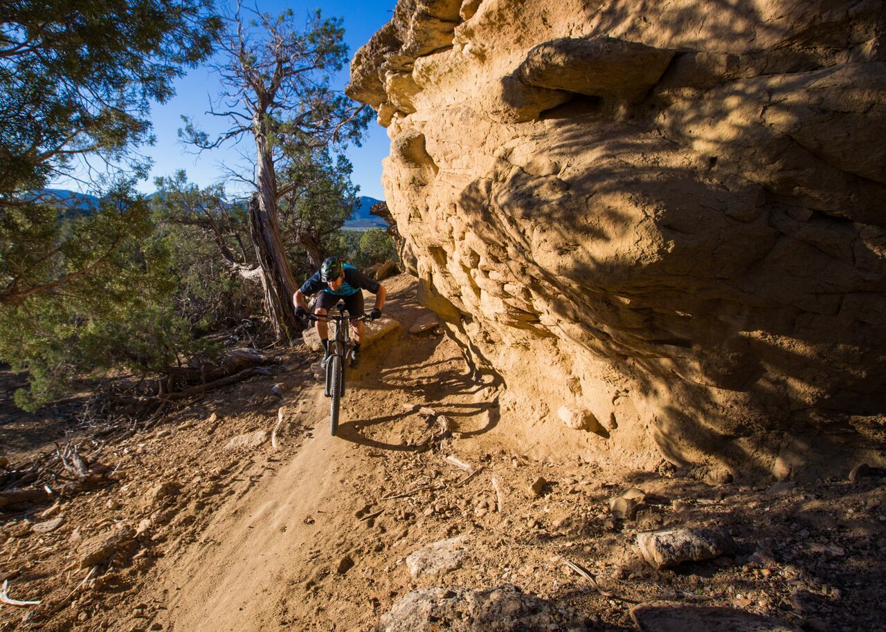
Unforgettable MTB adventures in Colorado's south-west
Other adventures in the San Juan Mountains


Tips from the Community

Durango, Colorado, is a famous mining town and railroad city that is an outdoor mecca today. There are towns of trails, roads, and paths for outdoor enthusiasts, and riding through downtown gives you a taste of old and new with old buildings and new businesses lining the streets.
0
0

This is a fantastic trailhead in the center of downtown Durango. There are restrooms, river access, and plenty of parking. From here you can cross the Fassbinder Bridge to follow the Animas River north or take a left at the water to wind south along the river through Durango.
0
0
Durango, Colorado, is a famous mining town and railroad city that is an outdoor mecca today. There are towns of trails, roads, and paths for outdoor enthusiasts, and riding through downtown gives you a taste of old and new with old buildings and new businesses lining the streets.
0
0
Here the trail runs along the street between East 3rd and the grassy area of Memorial Park. The trail joins up again more closely with the river after this segment. You can catch the bus to Memorial Park, so this can be a good spot to hop on the Animas River Trail.
0
0
The winding river is straight at this point, which gives you a fantastic view down the river into town and to Animas City Mountain to the north.
0
0
This is a fantastic paved trail which winds over seven miles along the Animas River through Durango and connects to a number of other trails in and around town.
0
0
This is a fantastic trailhead in the center of downtown Durango. There are restrooms, river access, and plenty of parking. From here you can cross the Fassbinder Bridge to follow the Animas River north or take a left at the water to wind south along the river through Durango.
0
0
You can park here and run up the switchbacks to Animas Mountain and Dalla Mountain Park. The southern trailhead is also available but has less parking, and you can also run in from Dalla Mountain Park.
0
0
Frequently Asked Questions
How many bus-accessible hiking trails are available in the San Juan Mountains?
There are several hiking routes in the San Juan Mountains that are easily accessible from bus stations, offering a convenient way to explore the region without a car. This guide features 3 such routes, with options ranging from easy to moderate difficulty.
What kind of terrain and difficulty can I expect on bus-accessible hikes in the San Juan Mountains?
The bus-accessible trails in the San Juan Mountains offer a mix of terrain. You can find easy, relatively flat loops like the Oxbow Park and Preserve loop from La Plata County, which covers 3.6 km with minimal elevation gain. For a more moderate challenge, the Ridgeline Trail loop from Gunnison spans over 17 km with a moderate ascent, providing varied landscapes. Generally, trails may feature riverside paths, forested sections, and open areas, reflecting the diverse San Juan landscape.
Are there any easy, family-friendly hikes accessible from bus stations?
Yes, there are family-friendly options. The Oxbow Park and Preserve loop from La Plata County is an easy 3.6 km hike, perfect for families. Another great choice is the Memorial Park – Animas River Bridge loop from La Plata County, an easy 4.5 km route that follows the Animas River, offering pleasant views and a gentle gradient suitable for all ages.
Can I find circular hiking routes that start and end at a bus stop?
Yes, all the routes featured in this guide are circular, meaning they start and end at the same point, making them ideal for bus accessibility. Examples include the Oxbow Park and Preserve loop from La Plata County and the Ridgeline Trail loop from Gunnison, allowing for convenient return to your starting bus stop.
What natural features or landmarks might I see on these bus-accessible trails?
While specific features vary by trail, the San Juan Mountains are renowned for their dramatic landscapes. On trails near La Plata County, you might encounter views of the Animas River. The broader region boasts rugged peaks, alpine lakes, and waterfalls. Notable highlights in the area include Animas Mountain Trail and various viewpoints like Raider Ridge Overlook. The San Juan Mountains are also home to several prominent summits such as Hogsback Peak and Baldy Mountain.
Are there any dog-friendly bus-accessible trails in the San Juan Mountains?
Many trails in the San Juan Mountains are dog-friendly, though regulations can vary by specific area or season. It's always best to check local signage or park regulations for the specific trail you plan to hike. Generally, dogs are welcome on leash on most national forest trails, but always practice Leave No Trace principles and pack out all waste.
What is the best time of year to hike bus-accessible trails in the San Juan Mountains?
The best time for hiking in the San Juan Mountains is typically from late spring through early fall (May to October). During these months, trails are generally free of snow, and the weather is more predictable. Summer brings vibrant wildflowers, while fall offers stunning autumn foliage. Always check current weather conditions before heading out, especially at higher elevations, as conditions can change rapidly.
Are there any challenging hikes accessible by bus for more experienced hikers?
While this specific guide focuses on routes directly from bus stations, offering easy to moderate options, the San Juan Mountains are home to many challenging trails. The Ridgeline Trail loop from Gunnison is a moderate 17 km route that provides a good workout. For more demanding adventures, you might need to combine bus travel with a short taxi ride or shuttle to reach trailheads for higher peaks and longer treks.
Where can I find places to eat or stay near bus-accessible trailheads?
Many of the bus-accessible trailheads are located near towns or communities in the San Juan Mountains, such as Durango or Gunnison. These towns offer a range of amenities including cafes, restaurants, and various accommodation options from hotels to guesthouses. After your hike, you can easily find a place to refuel or relax before heading back.
What do other hikers say about the bus-accessible trails in the San Juan Mountains?
The komoot community highly rates the hiking experiences in the San Juan Mountains, with an average score of 4.87 stars. Hikers often praise the stunning natural beauty, the variety of trails, and the convenience of accessing routes directly from bus stations. Reviewers frequently highlight the peaceful atmosphere and well-maintained paths.
Are there opportunities to see wildlife or wildflowers on bus-accessible hikes?
Yes, the San Juan Mountains are rich in biodiversity. On bus-accessible trails, especially those passing through forests or meadows, you have a good chance of spotting local wildlife such as deer, elk, and various bird species. During late spring and summer, the alpine meadows and lower elevations burst with a spectacular display of wildflowers, adding vibrant color to your hike.
Most popular routes in the San Juan Mountains
Most popular attractions in the San Juan Mountains

Get inspired with the komoot mobile app


Explore more
Browse the best Hikes in other regions.
