The best running trails in the San Juan Mountains
4.7
(6)
1,520
runners
250
runs
If you've ever tried to plan jogging in the San Juan Mountains, you know how quickly the sheer number of trails can feel overwhelming. With so many options, it's tough to tell which routes are genuinely worth your time and effort, and which are just filler. We get it – you want to hit the ground running on the best paths, not spend hours sifting through endless lists.
That's where we come in. Our komoot community has explored, mapped, and reviewed hundreds of routes across these incredible mountains. We've done the legwork to bring you a curated shortlist of the jogging routes that truly deliver, saving you the guesswork and ensuring your time on the trails is well spent.
Jogging in the San Juan Mountains is an experience like no other, defined by rugged peaks, stunning alpine lakes, and deep river valleys. You'll find everything from easy riverside runs to challenging mountain ascents, with terrain that shifts from paved paths to high alpine environments. Just remember that many of the higher elevation trails are only accessible during the warmer months, so plan accordingly.
If you only do one route, make it the Ice Lakes Trail. This 6.6 miles (10.7 km) route is a challenging climb, but the payoff of those stunning alpine lakes is absolutely worth your legs. For something more accessible and family-friendly, the Animas River Trail offers a moderate 5.5 miles (8.8 km) of scenic river views right near town. Ready to explore? We've got more than 250 routes waiting for you on komoot.
Last updated: May 10, 2026
35
runners
10.7km
01:50
750m
750m
The Ice Lakes Trail offers an unforgettable high-alpine jogging experience through Colorado's San Juan Mountains. You'll wind through lush forests and past waterfalls before ascending above the treeline, where the landscape opens up to reveal panoramic views of towering 13,000-foot peaks. The trail's crown jewel is the stunning, cerulean Ice Lake, whose vibrant blue waters are a breathtaking reward for your effort.
This difficult 6.7-mile (10.7 km) route involves a significant 2447 feet (746 metres) of elevation gain, typically taking around 1 hour and 49 minutes to complete. To make the most of your visit and avoid crowds, plan to start your jog early in the morning, especially if you're visiting between July and August. Remember that the high altitude demands proper acclimatization and plenty of water.
Beyond the main Ice Lake, you can extend your adventure to Island Lake, which sits even higher and offers equally spectacular views. The trail is renowned for its abundant wildflowers from mid-July to early August, transforming the meadows into a riot of color. This route is a true test of endurance, but the diverse ecosystems and unparalleled scenery make it a top choice for experienced joggers in the region.
30
runners
8.75km
00:54
30m
30m
Imagine a run where the river is your constant companion, winding through the heart of a vibrant town. The Animas River Trail delivers just that, offering continuous picturesque views of the Animas River as it hugs its banks. This moderate jogging route, stretching 5.4 miles (8.8 km) with a gentle 97 feet (30 metres) of elevation gain, is a fantastic way to experience Durango's natural beauty and urban charm, taking about 54 minutes to complete.
Planning your visit to the Animas River Trail is straightforward, as it's a central part of Durango's infrastructure with numerous access points. You'll find parking readily available at various public parks along the route, such as Oxbow Park and Preserve. The trail is well-maintained and largely separated from vehicle traffic, making it a safe and enjoyable option for a jog any time of day, though mornings are particularly pleasant.
Beyond the scenic river views, the Animas River Trail is rich with local flavor. You'll pass by art installations, mosaics, and interpretive signs detailing Durango's history. Keep an ear out for the distinctive whistle of the 1880s-era Durango & Silverton Narrow Gauge Railroad, which parallels parts of the trail, adding a unique historical backdrop to your run. It's a truly multi-faceted experience.

Sign up for free
23
runners
15.0km
02:23
870m
870m
The Kendall Mountain Road offers a truly epic high-altitude jogging experience, climbing through rugged terrain to deliver unparalleled views of Silverton and the vast San Juan Mountains. As you ascend this historic mining road, the landscape transforms from gravel and rock to exposed alpine tundra and scree, with fascinating glimpses of old mine remnants along the way. It's a demanding route, but the reward is a profound sense of accomplishment and breathtaking panoramas from elevations up to 13,000 feet.
Planning your visit requires careful consideration, as this difficult 9.3-mile (15.0 km) route with 2839 feet (865 metres) of elevation gain is best tackled in the summer and fall. The high altitude means thinner air, making the estimated 2 hours and 23 minutes duration feel even more strenuous. Be prepared for rapidly changing weather conditions, including potential thunderstorms, and ensure you have adequate water and gear for an exposed mountain environment.
This trail is not just a jogging route; it's also a popular and challenging path for off-road enthusiasts and the site of the annual Kendall Mountain Run, a renowned mountain race. Its historical significance as a mining road, combined with the dramatic high-mountain scenery and the transition above the treeline, makes it a standout option for experienced joggers seeking a memorable and physically demanding adventure in the Colorado Rockies.
20
runners
11.6km
01:15
80m
80m
The Animas River Trail offers a delightful and accessible jogging experience, winding alongside the picturesque Animas River through the heart of Durango. You'll enjoy continuous scenic views, passing through public parks and natural areas, with the added charm of seeing kayakers and inner-tubers in the water during warmer months. The trail's mostly flat, hard-surface path, primarily paved with concrete and asphalt, makes it a smooth journey, though some sections south of the US 160 bridge might have cracks and tree roots to watch out for.
This moderate 7.2-mile (11.6 km) route, with a gentle 274 feet (84 metres) of elevation gain, can be completed in about 1 hour and 14 minutes, making it perfect for a relaxed outing. The trail is easily accessible from various points in downtown Durango, connecting to the community recreation center, library, and neighborhoods. With multiple bridges, underpasses, and a tunnel, you can navigate the city without street crossings, and convenient parking is available along the route.
Beyond its natural beauty, the Animas River Trail is a cultural and historical pathway, running parallel to the historic Durango & Silverton Narrow Gauge Railroad, offering glimpses and sounds of old locomotives. The route is adorned with mosaics, music installations, sculptures, and interpretive signs detailing Durango's rich history, making it more than just a jog—it's a journey through the city's past and present.
13
runners
17.4km
01:48
60m
60m
The Animas River Trail offers a delightful jogging experience, winding along the scenic Animas River with its distinctive blue-green waters. You'll traverse a mostly flat, paved surface of concrete and asphalt, passing through numerous public parks and over picturesque bridges. Keep an eye out for the historic Durango & Silverton Narrow Gauge Railroad, which shares a corridor with the trail, adding a unique historical element to your run. This route is perfect for a relaxed, long-distance jog, providing continuous river views and urban amenities.
Planning your visit is straightforward, as the trail is a central artery in Durango, easily accessible from various points like Rotary Park. It's a great option for a casual run at any time, with no permits or fees required. The trail's gentle grade and paved surface make it suitable for all ages and skill levels, though some sections south of the US 160 bridge may have cracks and tree roots to watch for.
Often called the "spine of Durango's overall trail network," the Animas River Trail is more than just a jogging path; it's a vital link for recreation and transportation. Beyond the natural beauty, you'll find interpretive signs detailing Durango's history, along with mosaics, music installations, and sculptures, enriching your experience. This 10.8-mile (17.4 km) route, with a minimal 211 feet (64 metres) of elevation gain, can be completed in about 1 hour and 47 minutes, making it an excellent choice for a long, easy outing.
13
runners
9.20km
01:22
450m
450m
The Animas Mountain Loop offers a truly immersive jogging experience, winding through diverse terrain from smooth dirt to rocky singletrack. As you ascend, you'll be rewarded with incredible panoramic views of the Animas River Valley, the town of Durango nestled below, and the majestic San Juan and La Plata peaks in the distance. The trail transitions between sparse ponderosa pine forests and Gambel oak, with opportunities to spot wildflowers and abundant wildlife like mule deer and hawks.
This difficult 5.7-mile (9.2 km) loop, with its significant 1467 feet (447 metres) of elevation gain, is a serious workout that typically takes around 1 hour and 22 minutes. The trailhead is easily accessible from downtown Durango, but be mindful of potential parking limitations, especially on busy days. It's also worth noting that sections of the trail may have partial closures for wildlife protection during certain months, usually from December to April or July.
Known as one of the best jogging trails in Durango, the Animas Mountain Loop is a local favorite for its challenging nature and the fantastic viewpoints it offers. Beyond the physical exertion, the trail provides a chance to connect with nature, observe the distinctive oxbows of the Animas River, and enjoy the unique high-desert ecosystem. It's an iconic route that perfectly blends accessibility with a rewarding outdoor adventure.
5.0
(1)
15
runners
6.82km
00:57
250m
250m
The Skyline Trail in Durango offers a rewarding, advanced jogging experience with a quick ascent and incredible panoramic views. This 4.2-mile (6.8 km) route features numerous switchbacks, leading you up 821 feet (250 metres) of elevation gain in about 57 minutes. It's a moderate but intense cardio hike, perfect for those seeking a challenging workout with a stunning visual payoff over Durango and the Animas Valley.
Planning your visit to the Skyline Trail is straightforward, as it's part of the Fort Lewis College trail system. Due to limited shade along the ridge, remember to carry ample water and apply sun protection. An early morning start is recommended to enjoy cooler temperatures and avoid the peak sun, making your jog more pleasant.
This trail stands out as a popular choice for a Skyline Trail running guide in the Durango area, especially for its reputation as a great cardio hike. Its advanced rating within the Fort Lewis College system makes it a local favorite for those looking to push their limits and enjoy scenic viewpoints on Skyline Trail for jogging.
14
runners
14.7km
01:57
400m
400m
The Dry Fork Loop Trail near Durango offers a challenging 9.1-mile (14.7 km) jogging experience with 1329 feet (405 metres) of elevation gain, typically taking around 1 hour and 56 minutes. You'll wind through serene woodlands, passing through dense ponderosa pine forests and eventually aspen groves, with the trail often feeling "buff" or smooth underfoot. The initial climb gives way to rolling terrain before a long descent, offering occasional glimpses of the La Plata Mountains and a notable stop at Gudy's Rest.
This popular trail is easily accessible from Durango, making it a great half-day outing. Be aware that it's a shared-use path, so you'll encounter mountain bikers, hikers, and horseback riders; stay alert, especially on blind corners. Crucially, the Dry Fork Loop Trail has an annual seasonal closure from December 1st through April 15th (or sometimes April 30th) to protect local wildlife, so plan your visit accordingly.
What truly sets this route apart is Gudy's Rest, a scenic viewpoint named after Gudy Gaskill, a key figure in establishing the Colorado Trail. The trail's varied terrain and beautiful woodland scenery, especially vibrant in the fall and spring, make it a rewarding option for those seeking a difficult jogging route with a mix of climbing and descending.
5.0
(1)
13
runners
7.32km
00:56
150m
150m
The Lions Den and Rim Trail Loop offers a captivating jogging experience, guiding you through serene white cedar and hardwood forests before revealing dramatic, expansive views of Lake Michigan from 90 to 100-foot bluffs. You'll traverse well-maintained paths, including boardwalks and crushed limestone, but the highlight for many is the descent via a roughly 100-step wooden stairway to the intimate Lion's Den Gorge Beach, where you can walk along the stony shore. This route provides a unique blend of forest tranquility and stunning coastal vistas.
This moderate 4.5-mile (7.3 km) jogging loop, with 506 feet (154 metres) of elevation gain, typically takes around 56 minutes to complete. It's a fantastic option for those seeking a varied workout, especially with the stair challenge. The preserve is dog-friendly and generally accessible, though spring can bring muddy sections. Fall is particularly beautiful with changing foliage, making it an ideal time to visit.
Beyond its scenic beauty, the preserve is an ecological gem, providing public access to one of the last undeveloped stretches of bluff land along the Lake Michigan shoreline in Ozaukee County. It's a haven for diverse habitats, including unique grasslands, and is a prime spot for birdwatching, especially during spring migration. This combination of natural beauty, varied terrain, and ecological significance makes it a standout trail in the region.
13
runners
9.03km
01:14
310m
310m
The Colorado Trail to Gudy's Rest offers a dynamic jogging experience, starting with a mellow stretch alongside Junction Creek before transitioning into a demanding ascent. You'll pass through beautiful ponderosa pine stands, with the terrain shifting from wide and rocky to steep switchbacks. This difficult 5.6-mile (9.0 km) out-and-back route features 1017 feet (310 metres) of elevation gain, culminating in the stunning panoramic views from Gudy's Rest, all achievable in about 1 hour and 14 minutes for a focused jogger.
Access the trailhead easily from Durango at the Junction Creek Campground. Be aware that this is a popular segment of the Colorado Trail, so expect company, especially on weekends, and plan to arrive early to secure parking. While water sources are present along the trail, it's wise to purify any water you collect. The trail is open year-round, but a clear day will maximize your enjoyment of the vistas.
This segment is part of the much larger, iconic 500-mile Colorado Trail, stretching from Denver to Durango. Gudy's Rest itself is named in honor of Gudy Gaskill, known as the "Mother of the Colorado Trail," and was reportedly one of her favorite spots. Its accessibility and rewarding views make it a local favorite for a challenging workout.
Get access to more routes and recommendations from other explorers.
Sign up for free
Already have an account?
Our route recommendations are based on thousands of hikes, rides, and runs completed by other people on komoot.
Start today with a free account
Your next adventure awaits.
Login or Signup
Popular around San Juan Mountains
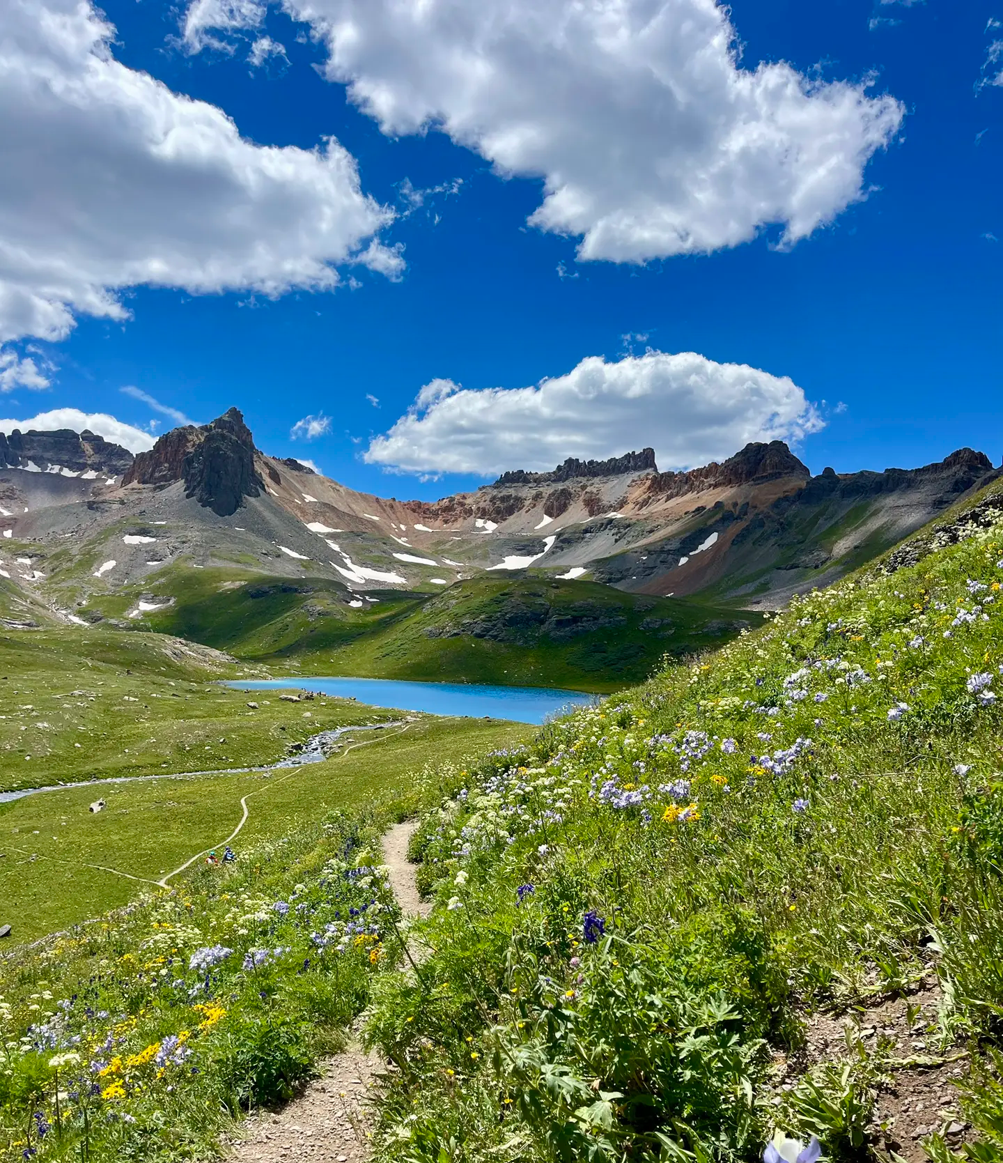
Softrock 100: Four Days Through Colorado’s Alpine Wilds

The Colorado Trail — Ten incredible days in the Rocky Mountains

Colorado Trail — The pinnacle of wild Colorado
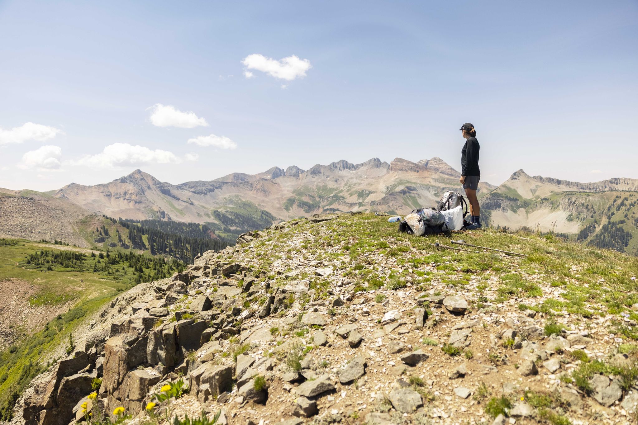
The Colorado Trail — Hiking from Silverton to Durango

The Continental Divide Trail — Across the sky of America
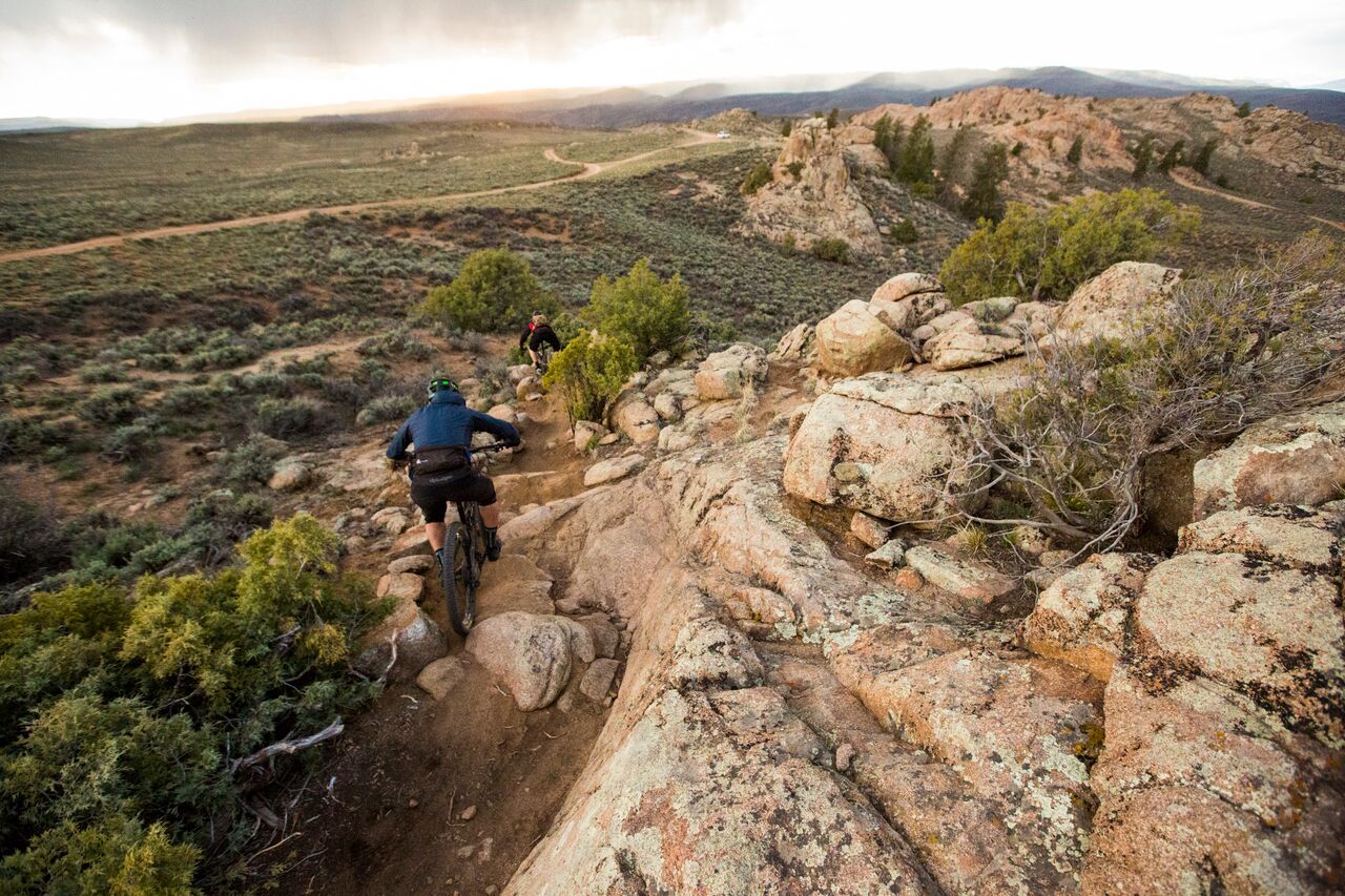
Hartman Rocks – rocky desert trails in Gunnison, Colorado
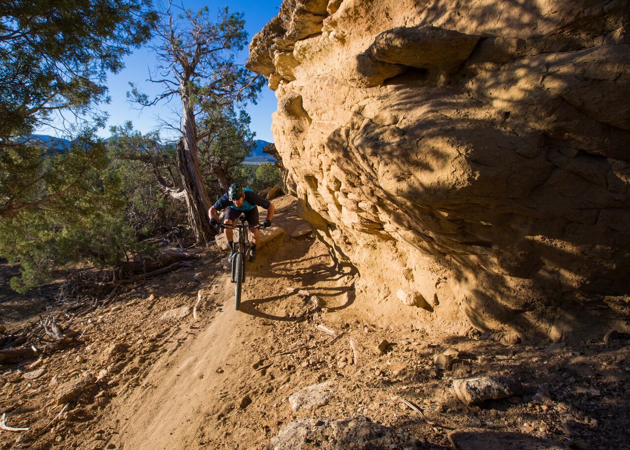
Unforgettable MTB adventures in Colorado's south-west
Hiking in the San Juan Mountains
MTB Trails in the San Juan Mountains
Road Cycling Routes in the San Juan Mountains
Other adventures in the San Juan Mountains


Tips from the Community

The view is mind-blowing! Stopp and enjoy it. It can't get any better than this.
1
0

The trail is a flat, paved multi-use path which follows the Animas River through Durango between Oxbow Park to the north and Dallabetta Park to the south. There are plenty of access points to jump on and off the trail and connect with other routes around town.
0
0

Oxbow Park marks the northern terminus of the Animas River Trail. The park is fairly new and features some singletrack paths along the water as well as a restroom and picnic tables.
0
0
Oxbow Park marks the northern terminus of the Animas River Trail. The park is fairly new and features some singletrack paths along the water as well as a restroom and picnic tables.
0
0
Here the road ends and splits into a trail. To the north is Kendall Mountain, and you can follow the western trail up along its ridge. To the east, the trail leads up towards Kendall Peak.
0
0
The road up Kendall Peak is a rough PHV track. This is a great spot to run and hike, as the grade is not too steep nor the trail too technical and it leads straight into the mountains from town.
0
0
Here the trail runs along the street between East 3rd and the grassy area of Memorial Park. The trail joins up again more closely with the river after this segment. You can catch the bus to Memorial Park, so this can be a good spot to hop on the Animas River Trail.
0
0
Oxbow Park is the northern end of the Animas River Trail and has a couple nice waterside loops you can do along lush singletrack. There is also a beach area that sticks out into a bend of the Animas River and is popular for swimming, paddleboarding, and rafting.
0
0
Frequently Asked Questions
How many running routes are available in the San Juan Mountains?
The San Juan Mountains offer a wide variety of running experiences, with over 250 routes available. These range from gentle riverside paths to challenging high-alpine trails.
Are there easy jogging trails suitable for beginners or families?
Yes, the region provides options for all abilities. There are nearly 20 easy routes and over 100 moderate ones. For a relatively flat and scenic run, consider sections of the Animas River Trail, which offers river views and easy access.
What kind of terrain will I encounter on running trails in the San Juan Mountains?
You'll find a diverse range of terrain, from relatively flat, paved paths along river valleys to rugged mountain trails with significant elevation gain. The region is characterized by majestic peaks, alpine lakes, and extensive forests, offering varied surfaces and challenges for runners.
Are there any running routes that feature waterfalls or other natural attractions?
Absolutely. The San Juan Mountains are rich in natural beauty. While jogging, you might encounter stunning waterfalls like Canyon Creek Bridge and Falls or Lower Cascade Falls. Many trails also lead to picturesque alpine lakes, such as those found on the Ice Lakes Trail.
What do other runners enjoy most about jogging in the San Juan Mountains?
The running routes in the San Juan Mountains are highly rated by the komoot community, with an average score of 4.6 stars. Runners frequently praise the breathtaking scenic views, the challenging yet rewarding mountain ascents, and the diverse natural landscapes, from river valleys to high alpine environments.
Are there any loop running routes in the San Juan Mountains?
Yes, there are several loop options for runners. For example, the Animas Mountain Loop offers a challenging run with significant elevation changes, while the Lions Den and Rim Trail Loop provides a moderate experience.
What is the best time of year for trail running in the San Juan Mountains?
The warmer months, particularly from July through August, are ideal for trail running. During this period, wildflower meadows burst into vibrant colors, especially around areas like the Ice Lakes Trail, adding to the visual appeal of your run. However, be prepared for high altitude challenges.
Are there any dog-friendly running trails in the San Juan Mountains?
Many trails in the San Juan Mountains are dog-friendly, but it's always best to check specific trail regulations before heading out. Generally, trails like the Animas River Trail are popular choices for runners with their canine companions, offering accessible paths and scenic views.
Can I find running routes with significant elevation gain for a challenging workout?
Absolutely. The San Juan Mountains are known for their rugged, high-altitude terrain, perfect for challenging runs. Routes like Kendall Mountain Road and the Dry Fork Loop Trail feature substantial climbs, offering an excellent test of endurance and rewarding panoramic views.
Are there any historical or geological points of interest along the running routes?
Beyond natural beauty, the San Juan Mountains have a rich mining history. You might encounter old mining sites or historic shacks along certain trails. Geological features like the Slumgullion Slide, which formed San Cristobal Lake, also add unique character to the region, offering a glimpse into Colorado's past while you run.
Where can I find a running route that offers extensive views?
Many routes in the San Juan Mountains provide spectacular views due to the region's high peaks and alpine environments. The Skyline Trail is a great option for panoramic vistas. Ascending to higher elevations on trails like Ice Lakes Trail will also reward you with unimpeded views of vast mountain ranges and verdant valleys.
Most popular routes in the San Juan Mountains
Most popular attractions in the San Juan Mountains

Get inspired with the komoot mobile app


Explore more
Browse the best Running Trails & Routes in other regions.
