The best volcano hikes and walks in the San Franciso Peaks
4.5
(139)
1,879
hikers
10
hikes
Volcano hiking trails in the San Franciso Peaks traverse a unique landscape characterized by the eroded remnants of a large stratovolcano, featuring distinctive cinder cones and ancient lava flows. The region offers significant elevation changes, from lower Ponderosa Pine forests to mixed conifer and subalpine zones, culminating in Arizona's only alpine tundra above 10,600 feet. This diverse terrain provides a variety of paths suitable for different skill levels, with panoramic views extending over 80 miles from many vantage points.
Best…
Last updated: August 18, 2026
4
hikers
6.97km
02:35
780m
0m
Moderate hike. Good fitness required. Easily-accessible paths. Suitable for all skill levels.
4.3
(7)
38
hikers
4.19km
01:23
90m
90m
Moderate hike. Great for any fitness level. Mostly accessible paths. Sure-footedness required.

Sign up for free
5.0
(1)
31
hikers
14.0km
04:45
740m
740m
Moderate hike. Good fitness required. Easily-accessible paths. Suitable for all skill levels.
4.0
(1)
29
hikers
Moderate hike. Great for any fitness level. Mostly accessible paths. Sure-footedness required.
4.5
(2)
25
hikers
5.86km
01:42
160m
160m
Easy hike. Great for any fitness level. Easily-accessible paths. Suitable for all skill levels.
Get access to more routes and recommendations from other explorers.
Sign up for free
Already have an account?
Our route recommendations are based on thousands of hikes, rides, and runs completed by other people on komoot.
Start today with a free account
Your next adventure awaits.
Login or Signup
Popular around San Franciso Peaks



Other adventures in the San Franciso Peaks


Tips from the Community

To reach this point, you'll traverse through volcanic cinder fields and Ponderosa Pines to the base of an extinct volcano. From here, you'll enjoy panoramic views of the surrounding mountains, which are especially stunning at sunset.
1
0
Covering 6,510 acres, this area boasts diverse terrain and elevation changes, with Kendrick Mountain standing tall at 10,425 feet, making it one of the highest points in the region. The scenery is particularly stunning in the fall, adorned with the vibrant colors of changing leaves.
0
0

Volcanic rock cave
0
0

In relation to the other volcanoes in the area making up the history of the San Francisco Peaks, Sunset Crater is the youngest. The eruption of this volcano nearly 1000 years ago lead to the lands in the surrounding 900 miles being covered in volcanic lava and ash, forever changing the landscape we see today.
2
0

The Lava Flow Trail is a moderate loop that takes you closer to the Sunset Crater and through a breathtaking red and black landscape shaped by lava.
2
0

Kendrick Peak is one of those spectacular mountains rising up from the highland plane in Northern Arizona. If you have a chance, hike it for great views that truly take you out of the ordinary world to experience nature in its unsullied glory.
4
0
On this hike, you can climb a volcano! You will enjoy awesome views of the San Francisco Peaks, Sunset Crater, and the Bonito lava flow. During the eruption of Sunset Crater Volcano almost 1,000 years ago, the ash and cinder filled in the crater at the top of Lenox Crater, which made it look like a gentle depression in the landscape today.
6
0
Sunset Crater is a volcanic crater. Around year 1085 the ground began to shake, and lava spewed high into the air. You cannot hike into the crater itself, and the fee for a car is $25; there are, however, days you can enter for free: https://www.nps.gov/planyourvisit/fee-free-parks.htm
7
0
Frequently Asked Questions
How many volcano hiking trails are there in the San Francisco Peaks?
The San Francisco Peaks offer a diverse range of hiking opportunities, with nearly 10 volcano-focused trails available in this guide. These routes vary in difficulty, from easy strolls around ancient cinder cones to more challenging ascents up volcanic slopes.
What are some easy volcano hikes for beginners in the San Francisco Peaks?
For those looking for an easier introduction to the volcanic landscapes, the Hiking loop from Old Caves Crater is a great option. This 1.2-mile moderate trail leads to the bottom of an old cinder cone volcano, offering a unique geological experience without significant elevation gain. Another easy option mentioned in the region research is the Old Caves Crater Trail itself.
Are there any loop trails around the volcanoes in the San Francisco Peaks?
Yes, several loop trails allow you to experience the volcanic features. The Lenox Crater and Lava Flow Trail Loop is a moderate option that takes you through distinctive volcanic terrain. Another is the Lenox Crater – A'a Trail loop from Sunset Crater Volcano National Monument, which provides a fascinating journey through lava flows and cinder cones.
What kind of wildlife can I expect to see on volcano hikes in the San Francisco Peaks?
The diverse ecosystems of the San Francisco Peaks, ranging from ponderosa pine forests to alpine tundra, support a variety of wildlife. Hikers might spot deer, elk, various bird species, and smaller mammals. Keep an eye out, especially in the early morning or late afternoon, for opportunities to observe the local fauna in their natural habitat.
What is the best time of year to hike the volcano trails in the San Francisco Peaks?
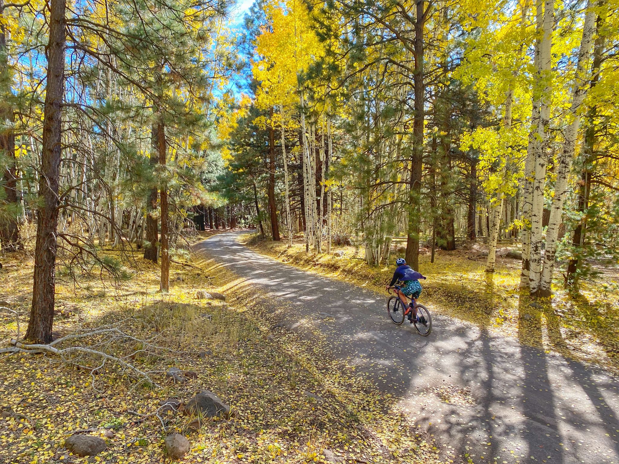
The best time to hike generally depends on the elevation and desired experience. Spring and fall offer pleasant temperatures and vibrant scenery, with fall being particularly stunning due to the changing aspen leaves. Summer can be warm at lower elevations but provides ideal conditions for higher-altitude trails like those leading to Humphreys Peak. Winter transforms the area into a snowy landscape, suitable for snowshoeing or cross-country skiing rather than typical hiking.
Are dogs allowed on the volcano hiking trails in the San Francisco Peaks?
Many trails in the San Francisco Peaks area are dog-friendly, but regulations can vary depending on the specific trail and whether it enters a wilderness area or national monument. It's always best to check specific trail rules before heading out. Generally, dogs should be kept on a leash to protect wildlife and ensure a pleasant experience for all hikers.
What are the parking options for volcano hiking trails in the San Francisco Peaks?
Parking is typically available at trailheads throughout the San Francisco Peaks. Popular areas like Sunset Crater Volcano National Monument or trailheads for routes such as Kendrick Mountain Trail usually have designated parking lots. Some areas may require a fee or a pass, so it's advisable to check the specific requirements for your chosen trailhead in advance.
What unique natural features will I encounter on these volcano hikes?
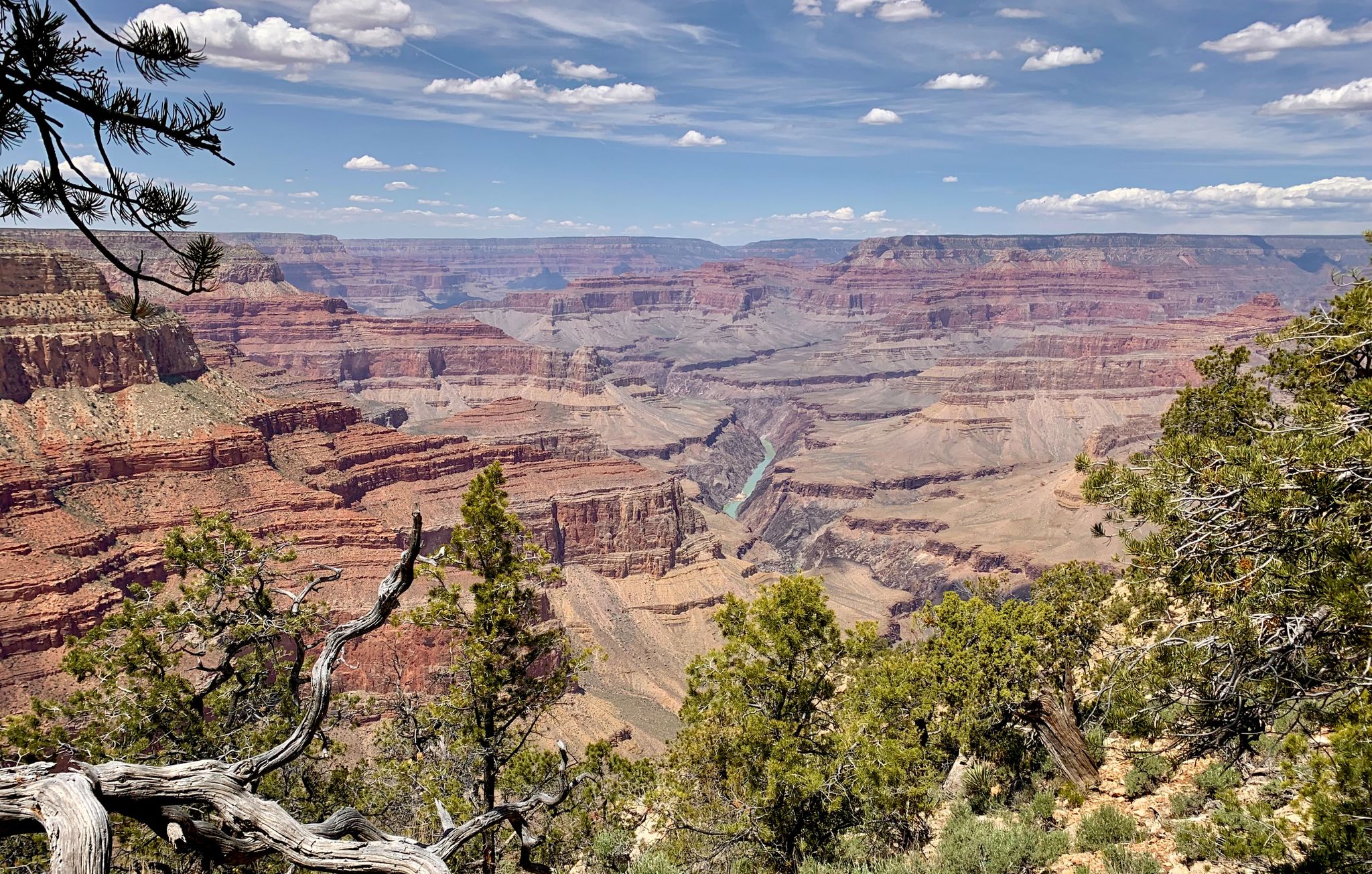
Hiking in the San Francisco Peaks offers a unique geological experience. You'll traverse ancient lava flows, explore distinctive cinder cones, and witness the remnants of a prehistoric stratovolcano. As you ascend, you'll pass through diverse ecosystems, from vast ponderosa pine forests to subalpine forests of spruce and aspen, and even Arizona's only alpine tundra above the treeline. Panoramic views often extend to the Grand Canyon and the Painted Desert.
What do other hikers enjoy most about the volcano trails in the San Francisco Peaks?
The area is highly rated by the komoot community, with an average score of 4.4 stars. Reviewers often praise the unique volcanic landscapes, the diverse ecosystems that change with elevation, and the stunning panoramic views from various vantage points. The opportunity to explore ancient geological formations and experience Arizona's only alpine tundra are frequently highlighted as favorite aspects.
Are there any challenging volcano hikes in the San Francisco Peaks?
Yes, for experienced hikers seeking a challenge, the San Francisco Peaks offer strenuous options. While not directly a volcano hike in this guide, the Humphreys Trail (#151) leads to the summit of Humphreys Peak, Arizona's highest point, which is part of the volcanic range. This 9-mile round trip involves significant altitude gain and transitions from pine forests to tundra-like conditions above the treeline, offering a truly demanding experience.
What should I wear for a volcano hike in the San Francisco Peaks?
Given the diverse elevations and potential for rapid weather changes, layering is key. Wear moisture-wicking base layers, insulating mid-layers, and a waterproof/windproof outer shell. Sturdy hiking boots with good ankle support are essential, especially on rocky or uneven volcanic terrain. Don't forget sun protection (hat, sunglasses, sunscreen) and plenty of water, as conditions can be exposed and dry.
Are there any notable landmarks or attractions near the volcano hiking trails?
Absolutely! Beyond the trails themselves, you can visit Sunset Crater, a prominent cinder cone volcano, or explore the Humphreys Peak summit. The Elden Mountain Lookout Tower offers fantastic views. For a unique experience, the Lava River Cave provides an opportunity to hike through an underground lava tube.
Most popular routes in the San Franciso Peaks
Most popular attractions in the San Franciso Peaks

Get inspired with the komoot mobile app


Explore more
Browse the best Hikes in other regions.
