The best running trails in the San Franciso Peaks
5.0
(2)
809
runners
82
runs
Jogging in the San Francisco Peaks offers diverse terrain for runners, characterized by the remnants of an eroded extinct volcano. The region features extensive Ponderosa pine forests, vibrant aspen groves, and open meadows, providing varied running environments. Elevations reach up to 12,633 feet at Humphreys Peak, offering challenging routes with significant gains. This area provides a comprehensive network of trails suitable for various running experiences.
Best jogging routes in the San Francisco Peaks
- The most popular jogging route is Old…
Last updated: August 17, 2026
76
runners
9.76km
01:10
70m
70m
Moderate run. Good fitness required. Mostly paved surfaces. Suitable for all skill levels.
46
runners
24.3km
03:44
1,260m
1,260m
Hard run. Very good fitness required. Mostly paved surfaces. Suitable for all skill levels.

Sign up for free
31
runners
10.5km
01:49
720m
720m
Hard run. Very good fitness required. Mostly accessible paths. Some sure footedness required.
35
runners
19.7km
02:08
90m
90m
Hard run. Very good fitness required. Mostly paved surfaces. Suitable for all skill levels.
28
runners
10.4km
01:11
40m
40m
Moderate run. Good fitness required. Mostly paved surfaces. Suitable for all skill levels.
27
runners
9.73km
01:06
90m
90m
Moderate run. Good fitness required. Mostly paved surfaces. Suitable for all skill levels.
20
runners
23.0km
02:49
740m
740m
Hard run. Very good fitness required. Mostly accessible paths. Some sure footedness required.
17
runners
11.5km
01:21
50m
50m
Moderate run. Good fitness required. Mostly paved surfaces. Suitable for all skill levels.
19
runners
13.5km
01:42
260m
260m
Moderate run. Good fitness required. Mostly accessible paths. Some sure footedness required.
16
runners
13.9km
01:40
550m
550m
Hard run. Very good fitness required. Mostly paved surfaces. Suitable for all skill levels.
Get access to more routes and recommendations from other explorers.
Sign up for free
Already have an account?
Our route recommendations are based on thousands of hikes, rides, and runs completed by other people on komoot.
Start today with a free account
Your next adventure awaits.
Login or Signup
Popular around San Franciso Peaks

Arizona Trail — A beautiful 800-mile struggle

Adventure Cycling Association's Bicycle Route 66 — LA to Chicago

The Arizona Trail — From Mexico to Utah in 43 days
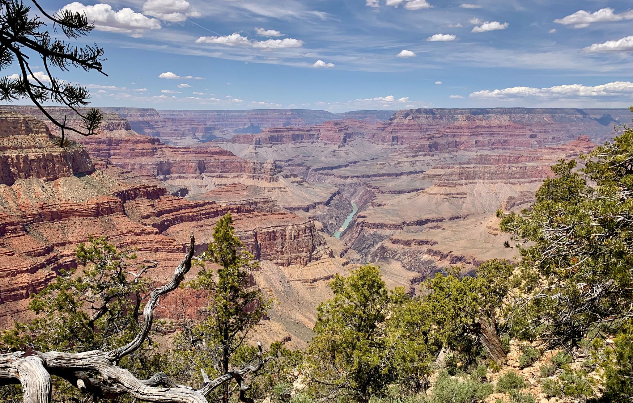
Arizona to Colorado – national parks and Native American culture
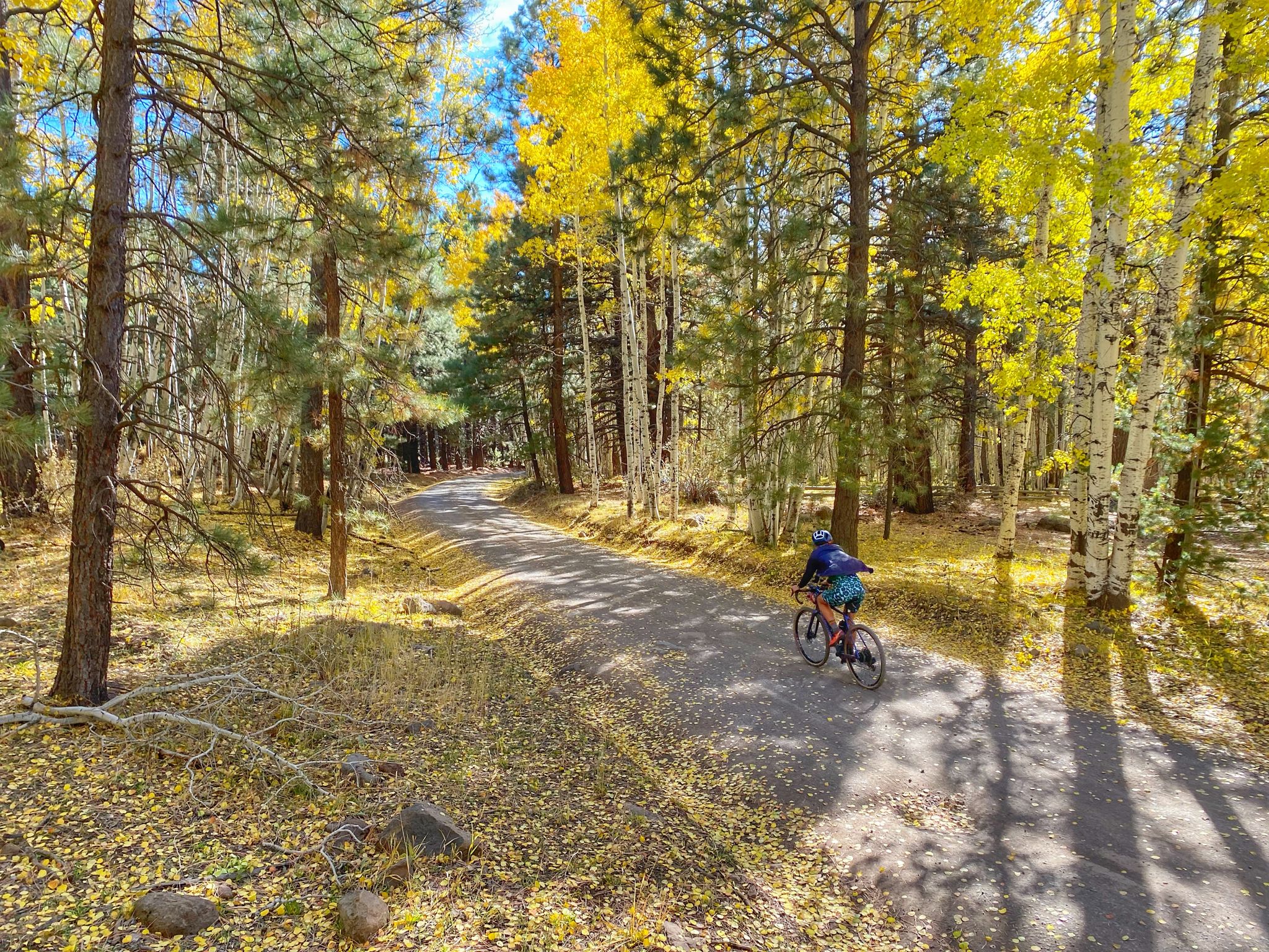
Grand Canyon to Mount Humphreys — a run, bike, run adventure
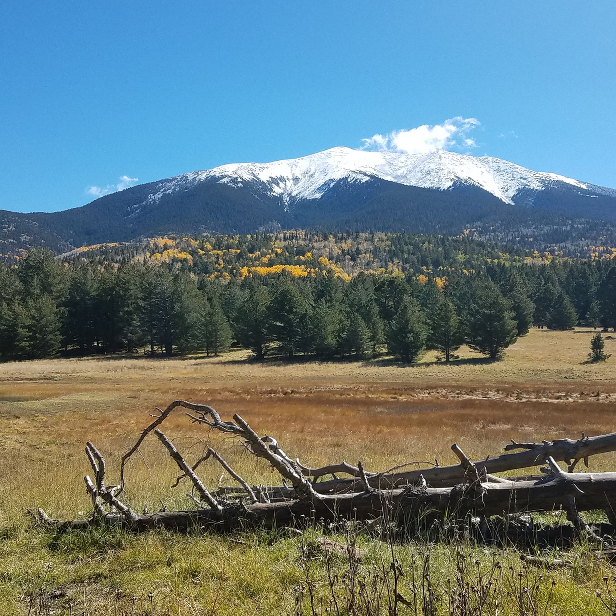
Hiking in the San Franciso Peaks
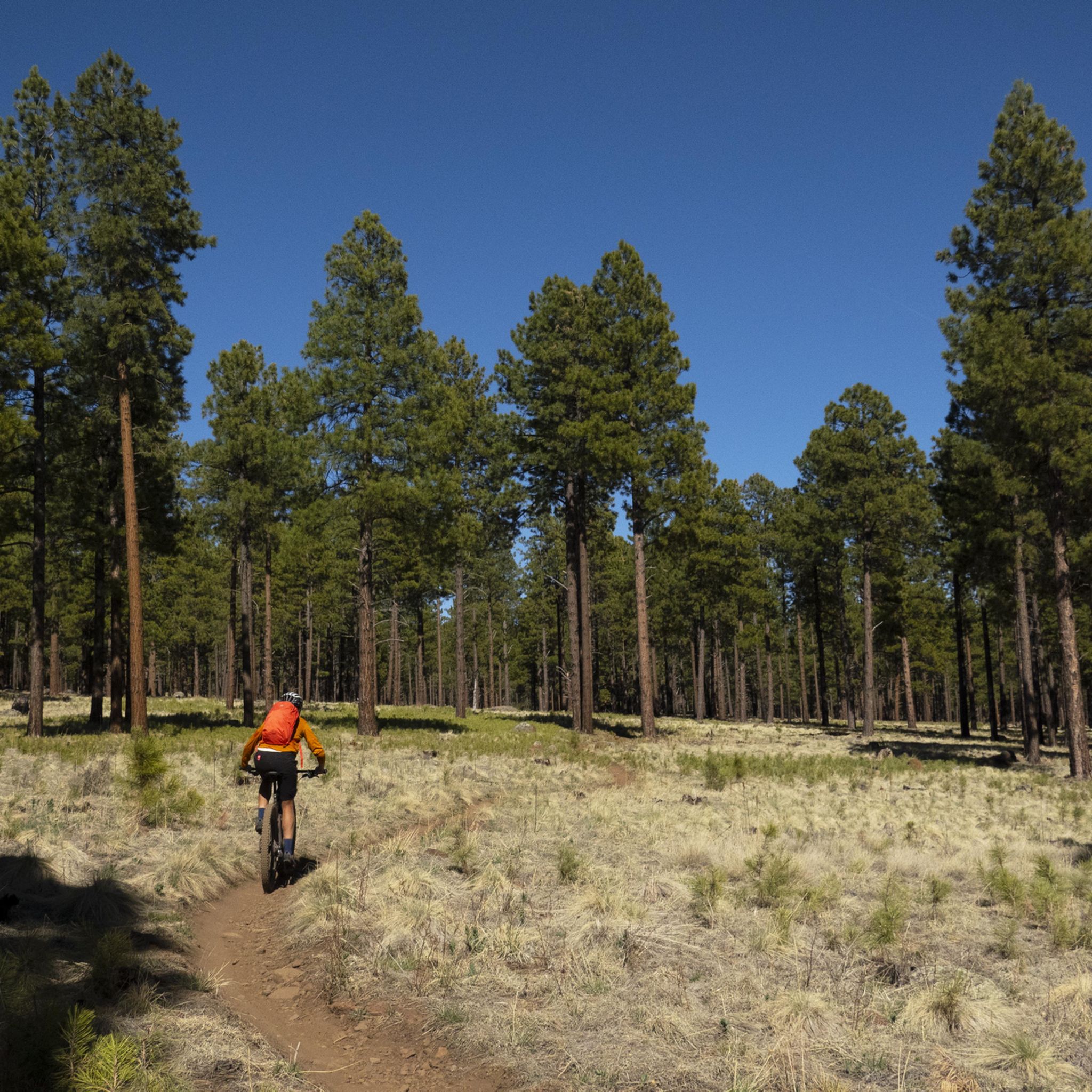
MTB Trails in the San Franciso Peaks
Road Cycling Routes in the San Franciso Peaks
Cycling in the San Franciso Peaks

Gravel biking in the San Franciso Peaks
Other adventures in the San Franciso Peaks


Tips from the Community

Also see QR Code for weather forecast and additional information on photos of billboard signs' photos #25 on.
1
0
... https://www.fusd1.org/cms/lib03/AZ01001113/Centricity/Domain/883/peaks_history.pdf https://www.alltrails.com/trail/us/arizona/humphreys-peak https://coconino.stqry.app/story/242022 https://www.grandcanyontrust.org/hikes/cpe-humphreys-peak-trail/https://www.fs.usda.gov/r03/coconino/recreation/groups/kachina-peaks-wilderness
2
0
Google's AI also summarized this mountain and its history as: "Humphreys Peak, the highest point in Arizona, and the Kachina Peaks Wilderness, where it's located, have a rich history deeply intertwined with Native American culture, exploration, and geological events. The peaks are sacred to various tribes, particularly the Hopi, who believe Kachina spirits reside there. The wilderness area itself was established in 1984 to protect the unique volcanic landscape and the surrounding ecosystem." This was gathered from the following links, which provide further in-depth information: https://en.wikipedia.org/wiki/Kachina_Peaks_Wilderness https://en.wikipedia.org/wiki/San_Francisco_Peaks https://www.fs.usda.gov/r03/coconino/recreation/groups/kachina-peaks-wilderness https://en.wikipedia.org/wiki/Coconino_National_Forest https://www.arizonahighways.com/humphreys-peak https://en.wikipedia.org/wiki/Humphreys_Peak https://azgs.arizona.edu/photo/san-francisco-peaks-inner-basin ...
2
0
Highest point in Arizona, at 12,633 feet (3851 meters) Humphreys Peak is one of the most exciting mountain destinations in the state. Part of the rim of a volcanic caldera, the entire Kachina Wilderness I consider a hiking paradise of rugged, untamed outdoor wonder not far from perhaps the biggest hole in the world, the Grand Canyon. ⛰️🌲💚🌄Hiking from the snowbowl, this trail consists of an unrelenting upward tour over rocks and roots with grades as high as 26% and at that worth every step. 🤠💛😊
2
0

This park provides a variety of outdoor activities, including archery, multiple trails, a disc golf course, fairgrounds, and much more. As you run, you'll be able to enjoy the Ponderosa pine forest and mountain views.
0
0

Enjoy this mild part of trail that slowly gains elevation and winds across the mountain before you come to the steepest section of trail. Plan to pass through pinyon-juniper woodland sand ponderosa pine forests, as well as shrubbed, rocky areas during your time on this section. The end of this section is also a great place to stop and take a break before you begin the switchbacks up, up, up to Mount Elden or continue onto the Fatman's Loop.
0
0
Fatman's Rock is what gives the trail its name. There are a couple large boulders in the middle of the trail that you have to make your way between. Legend has it that you will get stuck if you are fat; in reality, the gap isn't going to be a tight squeeze for anyone. The rocks make for a pretty cool trail feature, though!
0
0

This trail is challenging, leading to the summit of Arizona's highest peak, with a significant elevation gain of 3,356 feet. Watch your footing, as this section of the route is pretty rocky terrain. Once you're above the treeline, prepare for exposure to wind and sun, with the potential for afternoon storms, especially during the late summer months. There is some necessary scrambling as you get close to the summit—with the great reward of incredible panoramic views when you reach the top.
0
0
Frequently Asked Questions
How many running routes are available in the San Francisco Peaks?
The San Francisco Peaks area offers a wide selection of running routes, with over 80 trails available for exploration. These routes cater to various skill levels, from moderate loops to more challenging, high-elevation paths.
What kind of terrain and landscapes can I expect on the running trails?
Runners in the San Francisco Peaks will encounter diverse terrain, including the world's largest contiguous Ponderosa pine forest, vibrant aspen groves, and open meadows. The area also features Arizona's only alpine tundra environment at higher elevations, providing ever-changing scenery and distinct running experiences.
Are there challenging routes for experienced trail runners seeking significant elevation gain?
Yes, the San Francisco Peaks offer several challenging routes. For instance, trails leading towards Humphreys Peak, the highest point in Arizona, can involve significant elevation gains, providing a rewarding experience for those looking for a strenuous workout. The Downtown Flagstaff – Fort Tuthill County Park loop from Flagstaff is also rated as difficult.
Are there easier, family-friendly running paths in the San Francisco Peaks?
Yes, for easier and more accessible running, Buffalo Park near downtown Flagstaff is an excellent option. It features a 2-mile paved loop with panoramic views of the Peaks, and surrounding dirt trails extend for miles, suitable for a relaxed run or a family outing.
Can I bring my dog on the running trails in the San Francisco Peaks?
Many trails in the Coconino National Forest, which encompasses the San Francisco Peaks, are dog-friendly. However, it's always best to check specific trail regulations and leash requirements before heading out to ensure a pleasant experience for everyone.
What are some scenic viewpoints or landmarks to look out for along the running routes?
Many trails offer breathtaking views. From elevated points, you can often enjoy 360-degree vistas extending over 150 miles, potentially even reaching the Grand Canyon. Notable landmarks include the Elden Mountain Lookout Tower and views into Sunset Crater and the Painted Desert from trails like O'Leary Trail.
Is the San Francisco Peaks area suitable for high-altitude training?
Absolutely. The high elevation of the San Francisco Peaks, with some running events reaching up to 11,500 feet, makes it an excellent location for high-altitude training. Runners can benefit from the physiological adaptations that occur when training at these elevations.
What is the best time of year to go running in the San Francisco Peaks?
The best time to run generally depends on your preference. Spring and fall offer pleasant temperatures and vibrant scenery, with aspen groves turning golden in autumn. Summer provides cooler temperatures at higher elevations compared to the surrounding desert, while winter running is possible but requires appropriate gear and awareness of snow conditions, especially at higher altitudes.
How accessible are the trailheads by public transport or car, and is parking available?
Many trailheads are accessible by car, and parking is generally available, though it can fill up quickly during peak seasons. For public transport, Flagstaff offers some options, and specific bus routes might connect to areas like Arizona Snowbowl, which provides access to certain trailheads. It's advisable to check local transit schedules for the most current information.
Are there any permits required for running on these trails?
Generally, permits are not required for day-use running on most trails in the San Francisco Peaks. However, certain areas or specific activities, such as camping or entering designated wilderness areas, might require permits. Always check with the Coconino National Forest for the latest regulations.
Where can I find amenities like cafes or accommodation near the trails?
The nearby city of Flagstaff serves as a hub for amenities. You'll find numerous cafes, restaurants, pubs, and accommodation options in Downtown Flagstaff. Some facilities might also be available closer to popular trailheads or at destinations like Arizona Snowbowl.
What do other runners say about the trails in the San Francisco Peaks?
The running routes in the San Francisco Peaks are highly rated by the komoot community, with an average score of 5.0 stars from over 8 reviews. Runners often praise the diverse terrain, from Ponderosa pine forests to aspen groves, and the extensive network of trails that offer options for various ability levels.
Are there many circular running routes available?
Yes, the San Francisco Peaks area features several excellent circular running routes. Popular options include the Old Duck Pond – Buffalo Park loop from Flagstaff and the Log Cabin Tank – Walnut Canyon Lakes loop from Golf Ball Shed, which are well-loved by local runners for their scenic beauty and varied terrain.
Most popular routes in the San Franciso Peaks
Most popular attractions in the San Franciso Peaks

Get inspired with the komoot mobile app


Explore more
Browse the best Running Trails & Routes in other regions.
