The best hikes from bus stations around Mettmann
4.5
(60479)
210,554
hikers
1,718
hikes
Hiking around Mettmann offers diverse landscapes, characterized by rolling hills, lush forests, and scenic river valleys. The region features significant natural areas like the Neandertal Valley and the Düssel River, providing varied terrain for exploration. Hikers can discover trails along the Düssel, Deilbach, and Stinderbach streams, with paths winding through meadows, woodlands, and past historical sites. This area provides a mix of natural beauty and accessible routes for outdoor activities.
Best bus station hiking trails around Mettmann
- The most popular…
Last updated: August 23, 2026
4.4
(73)
257
hikers
7.84km
02:10
140m
140m
Moderate hike. Good fitness required. Easily-accessible paths. Suitable for all skill levels.
4.6
(719)
2,060
hikers
9.48km
02:45
250m
250m
Moderate hike. Good fitness required. Easily-accessible paths. Suitable for all skill levels.

Sign up for free
4.8
(627)
1,846
hikers
Hard hike. Very good fitness required. Easily-accessible paths. Suitable for all skill levels.
4.6
(640)
1,996
hikers
15.9km
04:15
180m
180m
Moderate hike. Good fitness required. Easily-accessible paths. Suitable for all skill levels.
4.8
(521)
1,523
hikers
Moderate hike. Good fitness required. Easily-accessible paths. Suitable for all skill levels.
Get access to more routes and recommendations from other explorers.
Sign up for free
Already have an account?
Our route recommendations are based on thousands of hikes, rides, and runs completed by other people on komoot.
Start today with a free account
Your next adventure awaits.
Login or Signup
Popular around Mettmann
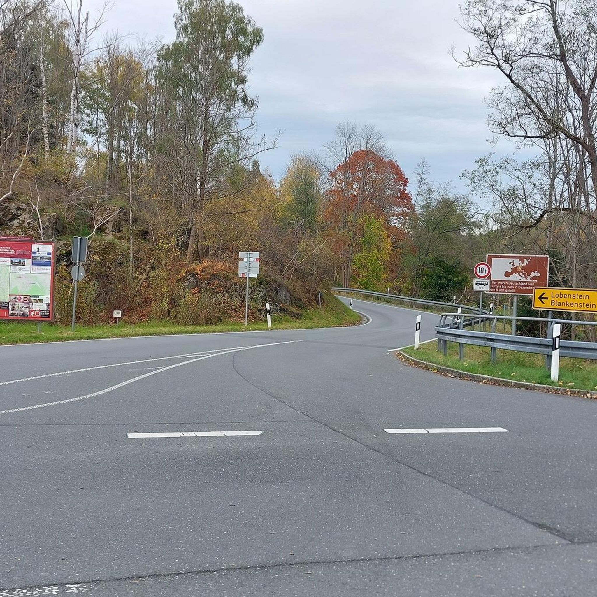
Hikes from bus stations around Ratingen

Hikes from bus stations around Wülfrath
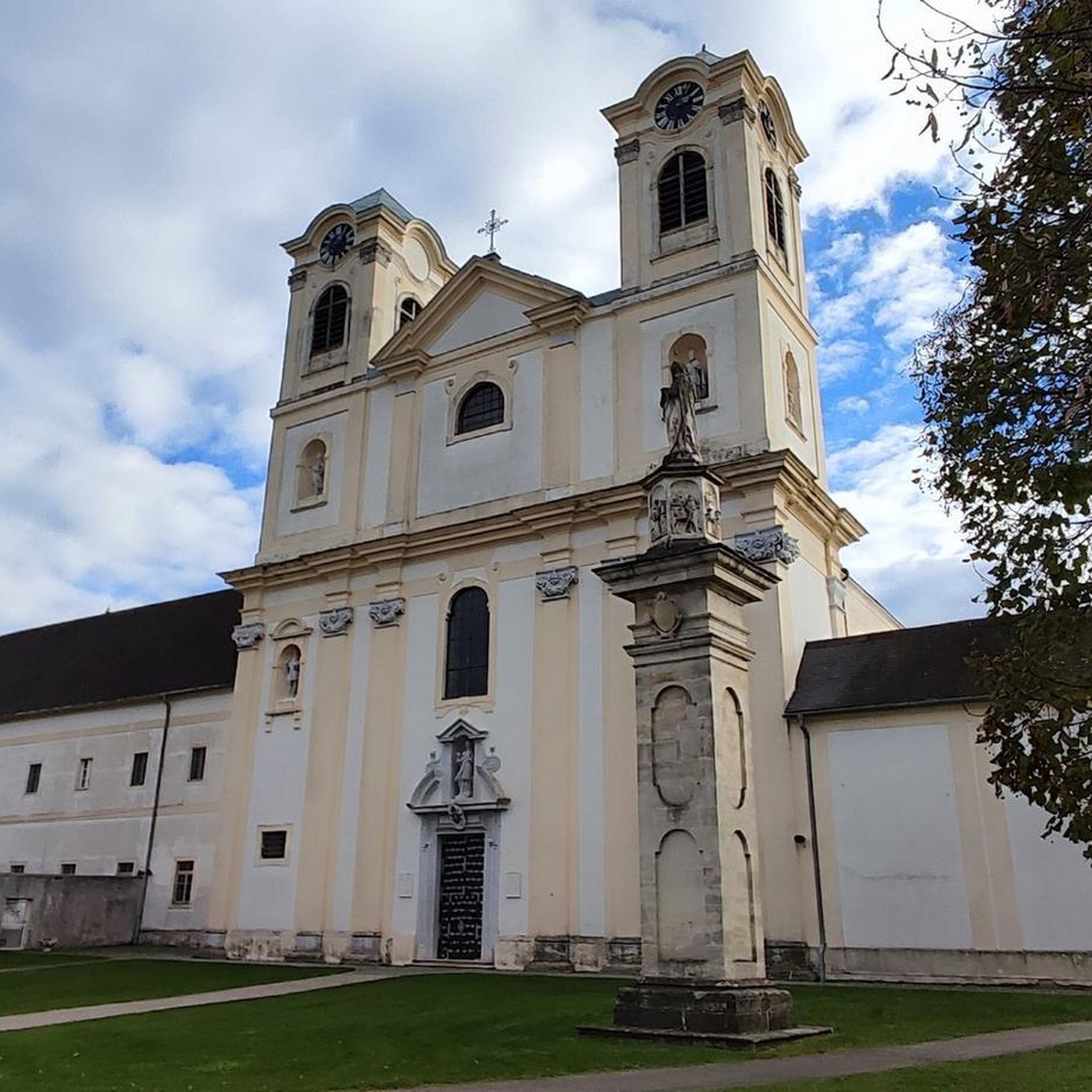
Hikes from bus stations around Velbert

Hikes from bus stations around Heiligenhaus

Hikes from bus stations around Erkrath
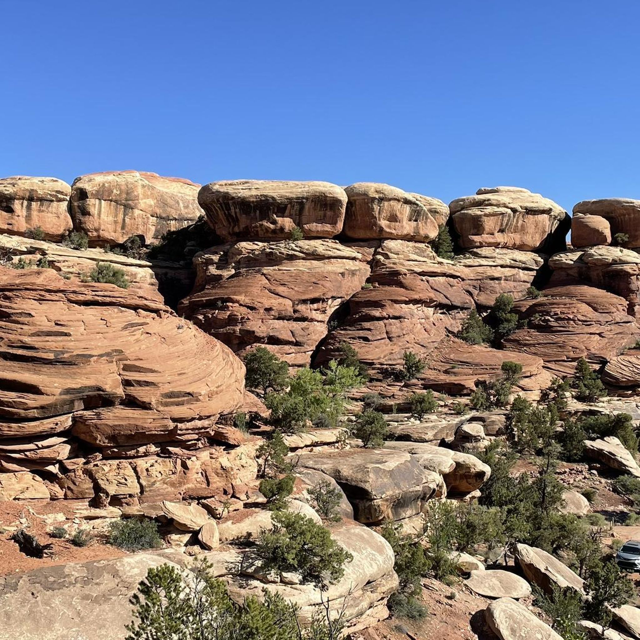
Hikes from bus stations around Monheim am Rhein
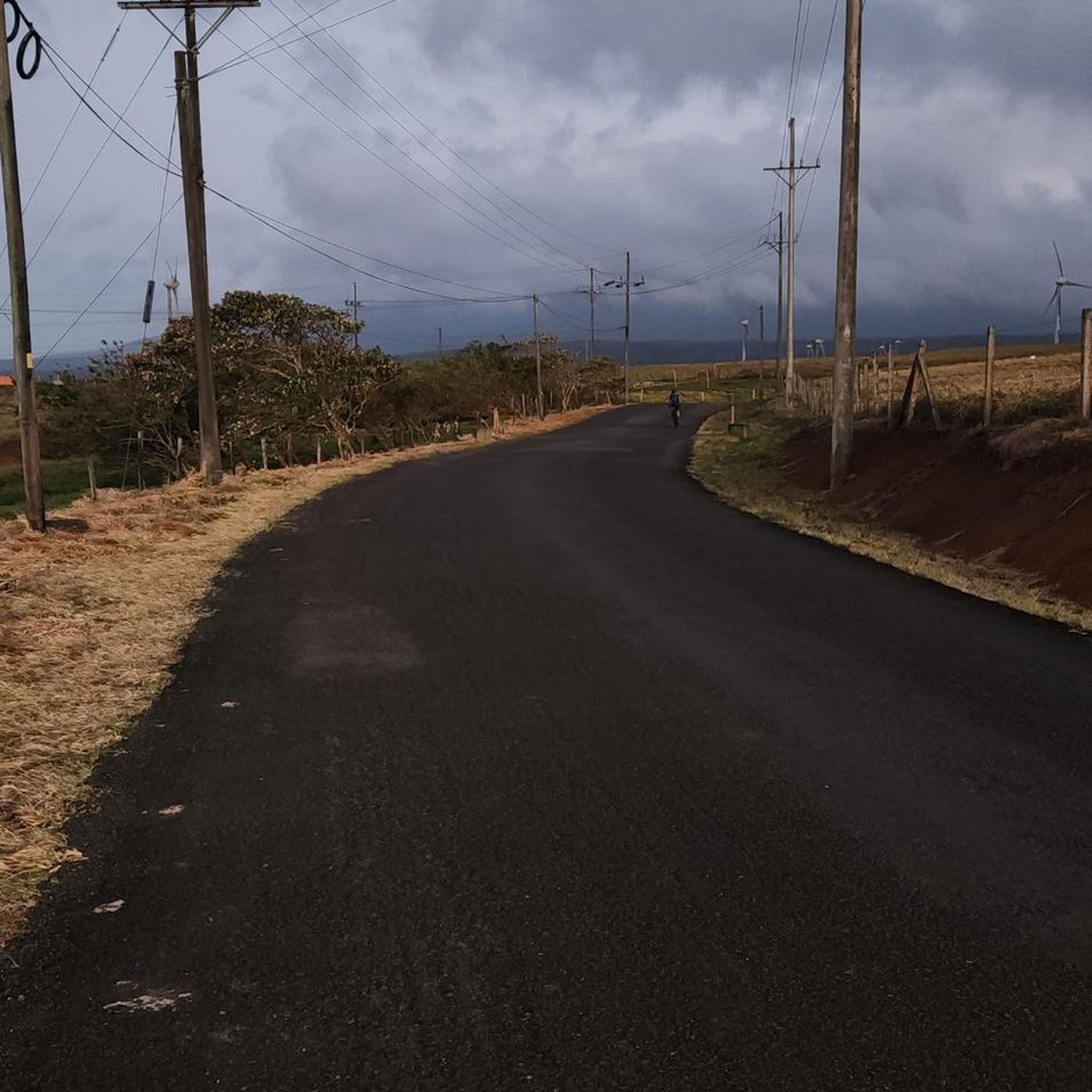
Hikes from bus stations around Hilden
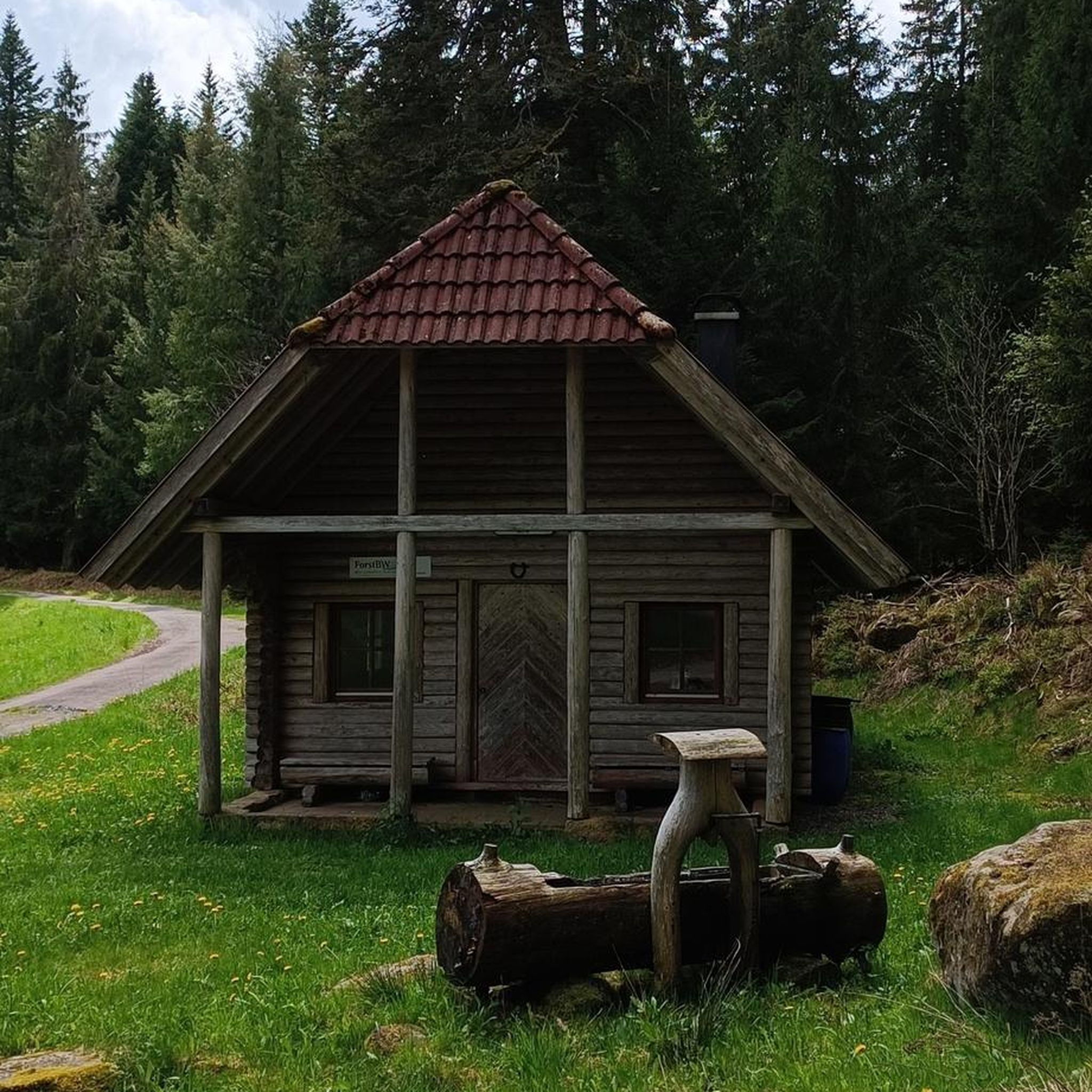
Hikes from bus stations around Langenfeld (Rheinland)
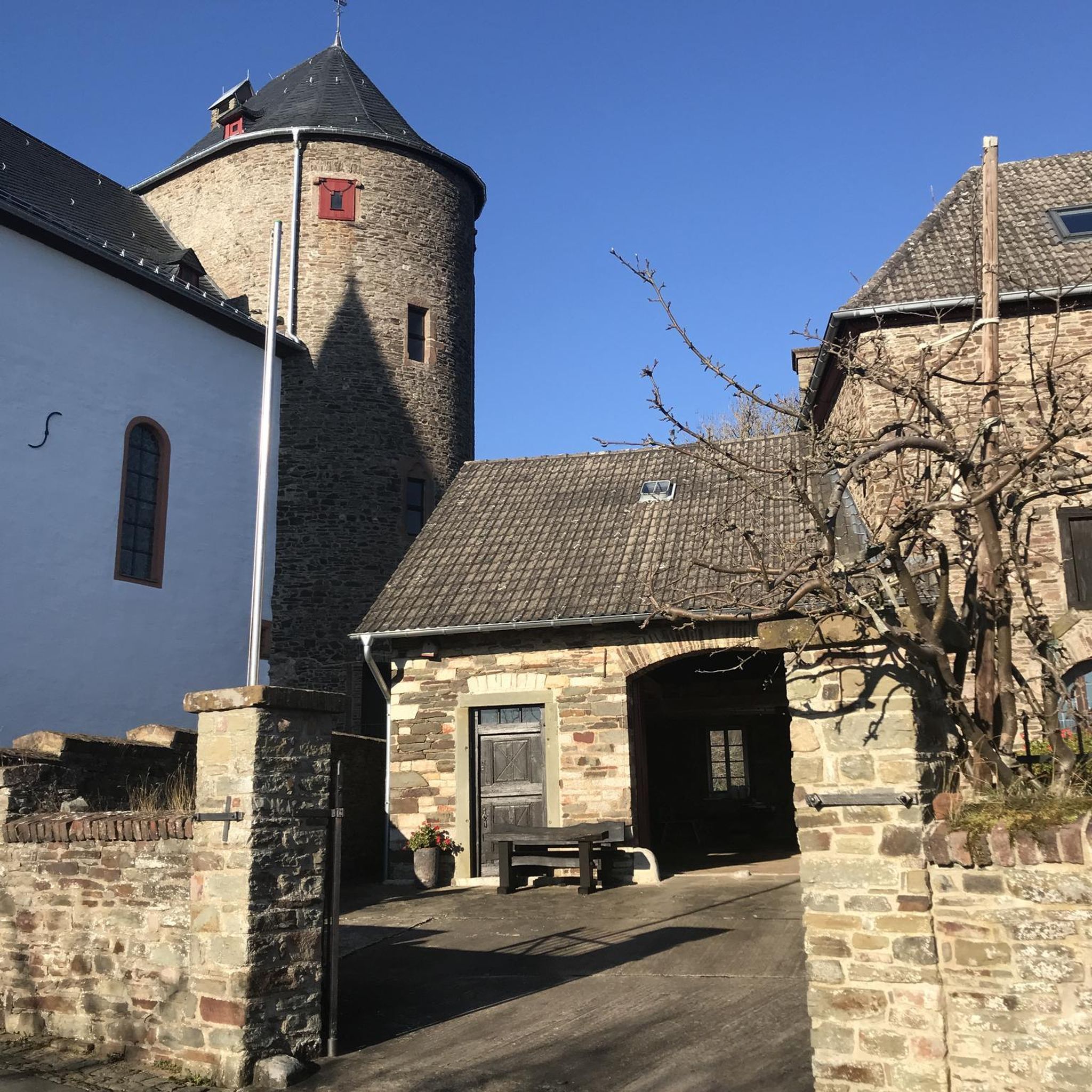
Hikes from bus stations around Haan
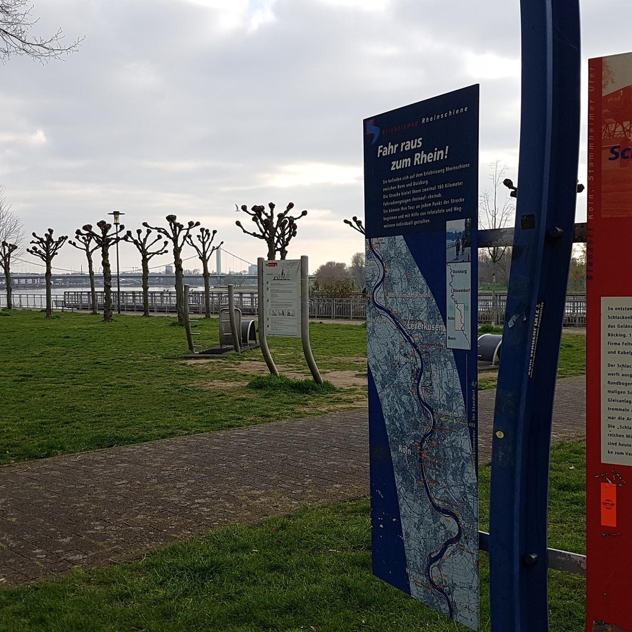
Hikes from bus stations in Lsg-Ratinger Stadtwald Süd-West
Other adventures around Mettmann


Tips from the Community

🌳🌲🌿The expansive panorama is a true feast for the eyes & a great photo point 🎨🖌💚📸. 🎨🖌Apart from the changing agricultural use of the fields, then the seasons🍃🍂🌨- a constantly fascinating and changing panorama picture 🎨🖌🤗.
2
0
🌳🍃De-acceleration à la carte:💚 🌲The beautiful, predominantly wooded Angertal🌲 🌡🌞Wonderfully pleasantly temperate in summer under the protective canopy of the trees 🌳. Many flat bank areas invite for a refreshment at the 🌊👣🌊. A very diverse range of biotopes🌿: 🌊Ponds, 🌿wet meadows, 🌿pastures, 🌳pollarded willows, 🌿floodplain landscapes & natural 🌲forest areas. A changing picture in every season ❄️🍃🍂🍁. 🌊The Angerbach, also called Anger for short, is an approximately 36-kilometer-long tributary of the Rhine💙.
2
0
🌳🍃De-acceleration à la carte:💚 🌲The beautiful, predominantly wooded Angertal🌲 🌡🌞Wonderfully pleasant temperatures in summer under the protective canopy of the trees 🌳. Many flat bank areas invite you to refresh yourself at the 🌊👣🌊. A very varied biodiversity🌿: 🌊Ponds, 🌿wet meadows, 🌿pastures, 🌳pollarded willows, 🌿floodplain landscapes & natural 🌲forest areas. A changing scene in every season ❄️🍃🍂🍁. 🌊The Angerbach, also called the Anger for short, is an approximately 36-kilometer-long tributary of the Rhine💙.
1
0
🌳🍃De-acceleration à la carte:💚 🌲The beautiful, predominantly wooded Angertal🌲 🌡🌞Delightfully pleasant temperatures in summer under the protective canopy of the trees 🌳. Many shallow bank spots invite for a refreshing dip in the 🌊👣🌊. A very diverse range of biotopes🌿: 🌊Ponds, 🌿wet meadows, 🌿pastures, 🌳pollarded willows, 🌿floodplain landscapes & natural 🌲wooded areas. A changing scene in every season ❄️🍃🍂🍁. 🌊The Angerbach, also called the Anger for short, is an approximately 36-kilometer-long tributary to the Rhine 💙.
3
0
🌳🍃De-acceleration à la carte:💚 🌲The beautiful, predominantly wooded Angertal🌲 A very varied biodiversity🌿: 🌊Ponds, 🌿wet meadows, 🌿pastures, 🌳pollarded willows, 🌿floodplain landscapes & natural 🌲forest areas.
2
0

Beautiful field
0
0

Nice quiet singletrail between Velbert and Essen.
0
0

Romantic valley with several sights.
1
0
Frequently Asked Questions
How many bus-accessible hiking trails are there around Mettmann?
There are over 1700 bus-accessible hiking trails available around Mettmann, offering a wide variety of options for all skill levels. Many of these routes start directly from bus stations, making public transport a convenient way to begin your adventure.
What kind of landscapes can I expect on bus-accessible hikes in Mettmann?
The Mettmann region, including parts of the Neandertal Valley and the Bergisches Land, offers diverse landscapes. You can expect rolling hills, lush forests, and picturesque river valleys like the Düssel, Deilbach, and Stinderbach. Trails often lead through meadow landscapes, past historic sites, and offer scenic views of the surrounding nature.
Are there easy bus-accessible hikes suitable for beginners in Mettmann?
Yes, Mettmann is very welcoming for beginners and casual walkers. Over 1200 of the available routes are classified as easy, making them perfect for a relaxed stroll or an introduction to hiking. These trails often feature gentle terrain and are well-suited for a leisurely day out.
What is the best time of year to go hiking from Mettmann's bus stations?
The best seasons for hiking in Mettmann are generally spring and autumn. During these times, the weather is mild, and the natural scenery is particularly vibrant. Spring brings blooming flowers, while autumn offers stunning colorful foliage, enhancing the beauty of the trails.
Are there bus-accessible circular hiking routes in the Mettmann area?
Yes, many of the bus-accessible routes in Mettmann are circular, allowing you to start and end your hike at the same bus stop. For example, the Heiligenhaus Discovery Loop is a moderate 7.8 km circular trail, and the Asbach Valley Nature Reserve loop from Langenberg offers a 9.4 km moderate circular experience.
Can I bring my dog on these bus-accessible hiking trails?
Generally, dogs are welcome on most hiking trails in the Mettmann region. However, it's always advisable to keep your dog on a leash, especially in nature reserves, near livestock, or in areas with wildlife. Always check local signage for specific rules regarding pets.
Are there family-friendly bus-accessible hiking options in Mettmann?
Absolutely! Many of the easier trails are ideal for families. The Neandertal Valley, for instance, offers paths suitable for all ages, often passing by attractions like the Neanderthal Museum or the Ice Age Animal Park. Look for routes classified as 'easy' for the most family-friendly experiences.
What interesting landmarks or natural features can I see along bus-accessible routes?
Mettmann's bus-accessible trails offer access to several points of interest. You might encounter natural features like the Rotthäuser Bachtal or viewpoints such as the View from the summit of Sandberg. Historical sites like the Winkels Mill and the Jaberg Observation Tower are also accessible, offering a blend of nature and culture.
Are there any routes that offer views of the Ruhr Valley?
Yes, some trails provide scenic views of the Ruhr Valley. The Deilbach stream in the Deilbachtal – View of the Ruhr Valley loop from Deilbachtal is a challenging 17.4 km route that specifically highlights these panoramic vistas, combining natural beauty with glimpses of the region's industrial heritage.
What do other hikers enjoy the most about hiking in Mettmann?
The Mettmann region is highly rated by the komoot community, with an average score of 4.48 stars. Reviewers often praise the diverse landscapes, the well-maintained paths, and the excellent accessibility via public transport, making it easy to explore the natural beauty of the Neandertal and Bergisches Land.
Are there any routes that follow rivers or streams?
Yes, the Mettmann area is rich in scenic river and stream valleys. You can find trails along the Düssel River, through the Deilbachtal, and the wild and romantic Stinderbachtal. These routes often feature idyllic paths alongside water, offering a tranquil hiking experience.
Can I find trails that lead through forests?
Absolutely. Mettmann is surrounded by extensive green spaces and forests. The Hilden city forest, bordering Mettmann, provides well-marked paths through dense woodlands. Many routes in the Bergisches Land and Neandertal Valley also lead through lush forested areas, offering shade and a peaceful atmosphere.
Most popular routes around Mettmann
Most popular attractions around Mettmann

Get inspired with the komoot mobile app


Didn’t find what you were looking for?
Check out more Hikes throughout Mettmann below and find the perfect route in your destination.
Explore more
Browse the best Hikes in other regions.
