The best hikes from bus stations in the Ammergauer Alps
4.6
(60262)
323,133
hikers
797
hikes
Hiking in the Ammergauer Alps is characterized by diverse landscapes, including one of Bavaria's largest nature reserves. The region features significant ice-age moors, extensive mixed mountain forests, and wild rivers like the Ammer, which carves deep gorges. Peaks range from rounded hills to more rugged ridgelines, with the highest summit reaching 2,184 meters. This varied terrain offers a wide array of bus station hiking trails accessible to different skill levels.
Best bus station hiking trails in the Ammergauer Alps
- The…
Last updated: July 4, 2026
4.7
(77)
415
hikers
14.5km
05:45
780m
780m
Hard hike. Very good fitness required. Sure-footedness, sturdy shoes and alpine experience required.
4.7
(907)
4,012
hikers
9.61km
03:32
520m
520m
Moderate hike. Good fitness required. Mostly accessible paths. Sure-footedness required.

Sign up for free
4.7
(71)
287
hikers
11.0km
03:39
430m
430m
Moderate hike. Good fitness required. Mostly accessible paths. Sure-footedness required.
4.8
(706)
2,813
hikers
14.3km
03:49
160m
160m
Moderate hike. Good fitness required. Easily-accessible paths. Suitable for all skill levels.
4.7
(446)
1,803
hikers
Hard hike. Good fitness required. Sure-footedness, sturdy shoes and alpine experience required.
Get access to more routes and recommendations from other explorers.
Sign up for free
Already have an account?
Our route recommendations are based on thousands of hikes, rides, and runs completed by other people on komoot.
Start today with a free account
Your next adventure awaits.
Login or Signup
Popular around Ammergauer Alps

Maximilian Trail in Germany — Lake Constance to Königssee

The Romantic Road – To the Pearls of Southern Germany
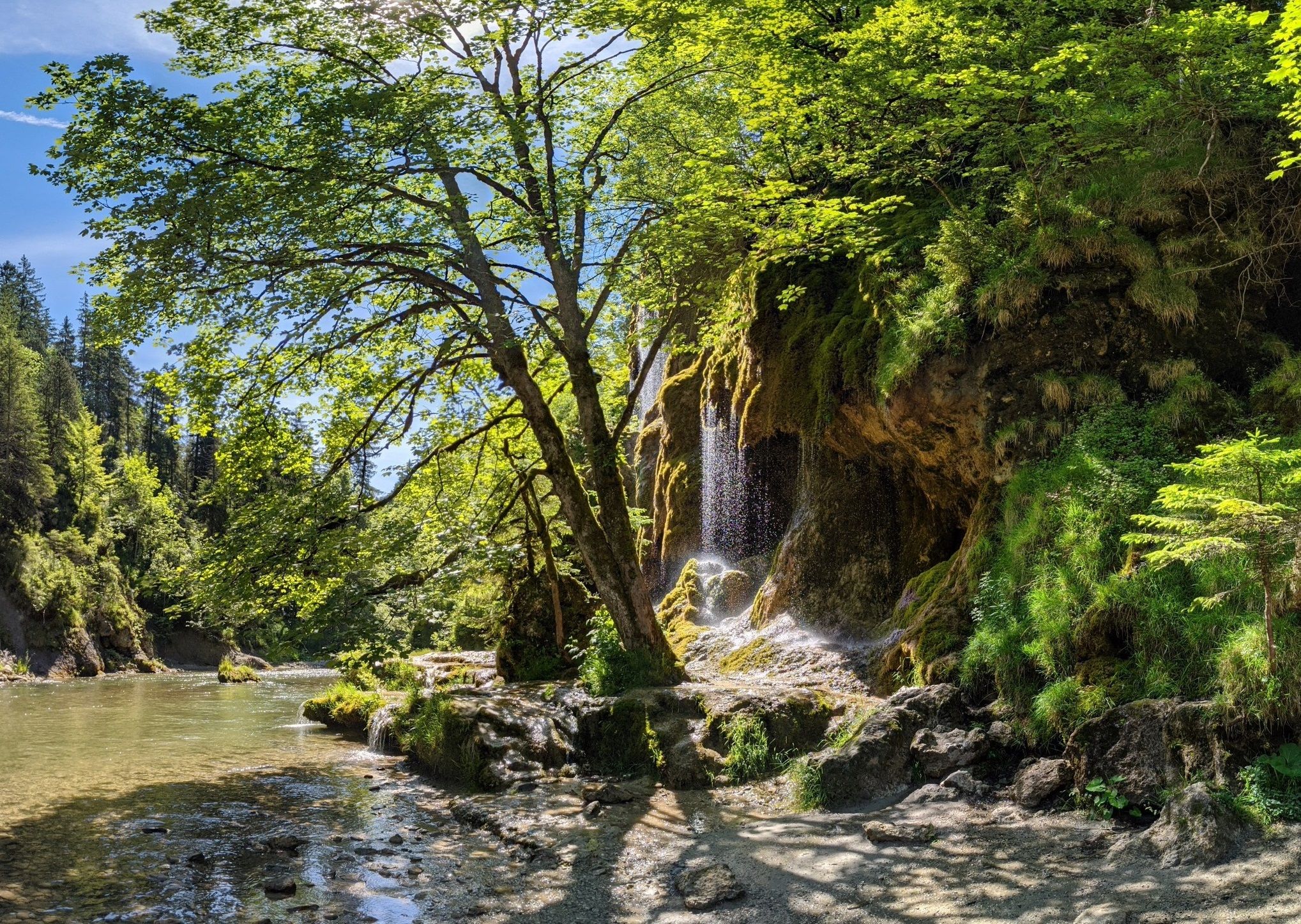
Ammergau Alps meditation path in Bavaria – Breathe in, breathe out
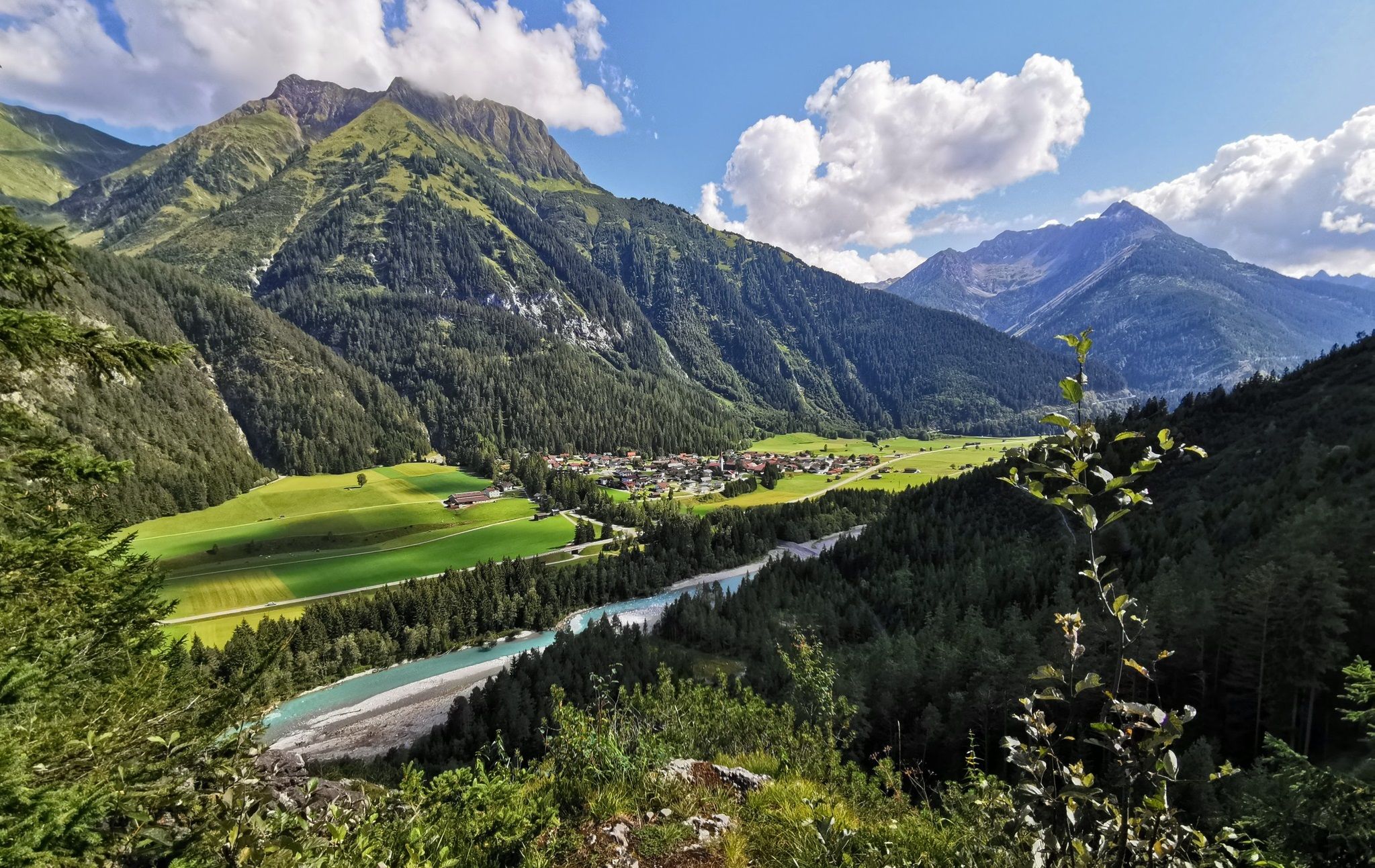
The Lechweg — eight days on Austria's wildest river
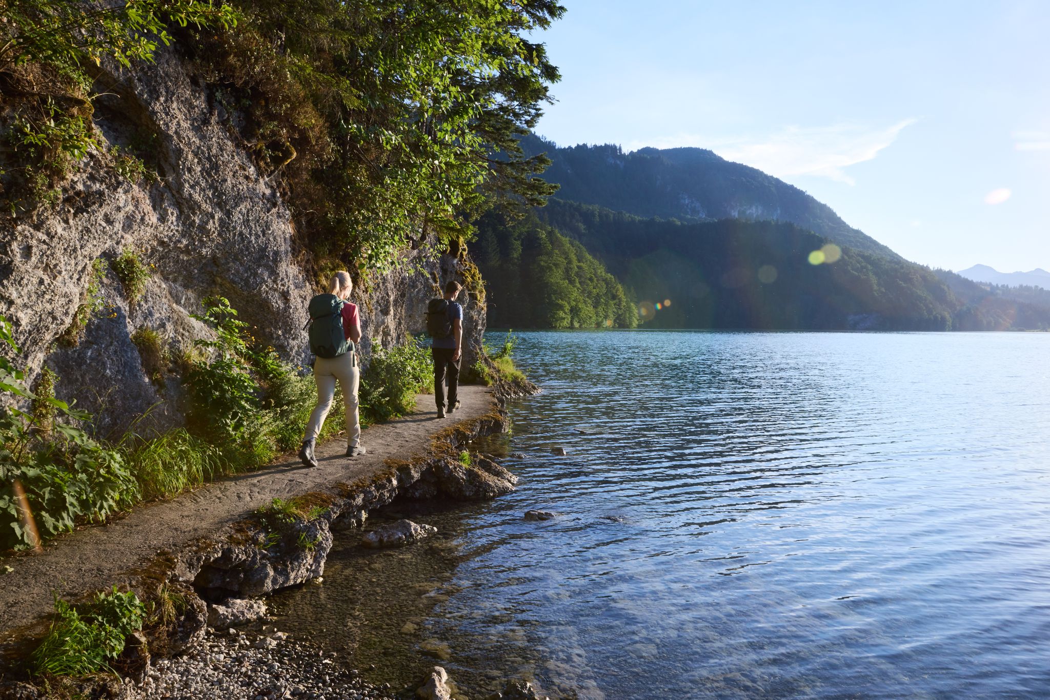
Lechloops – wonderful hiking along the wild Lech

The National Natural Landscapes in Bavaria
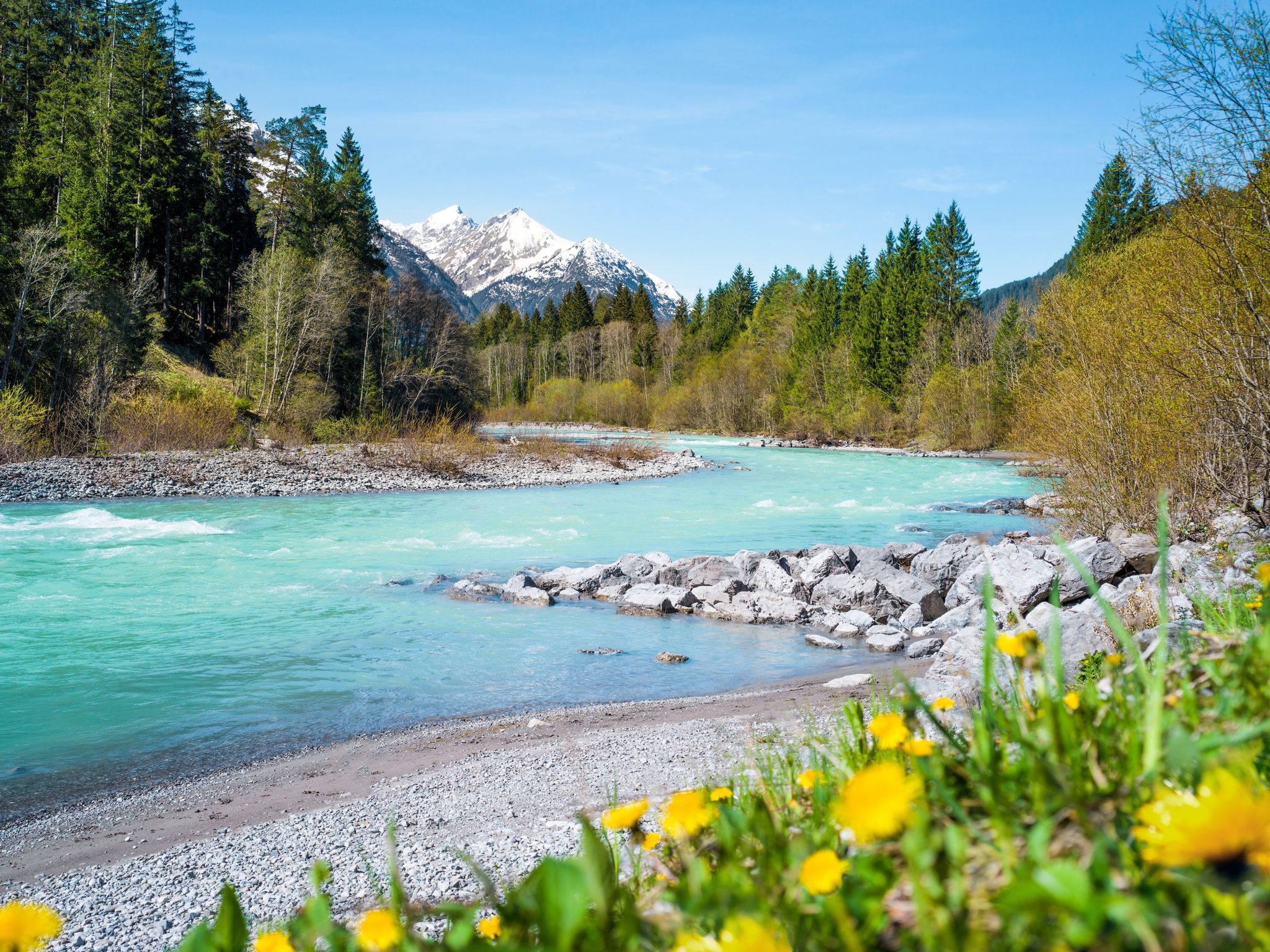
Multi-day hiking against the flow – the Lechweg in reverse
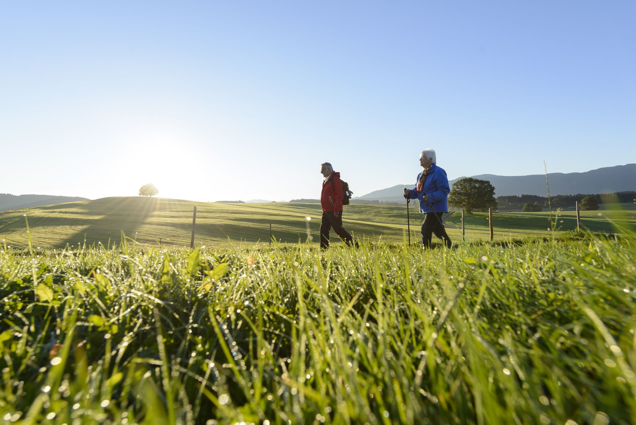
Sacred Landscape Pfaffenwinkel
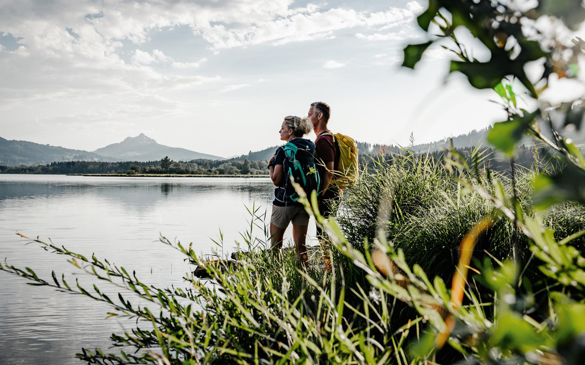
Fresh summer fun – half and full day hikes in Allgäu
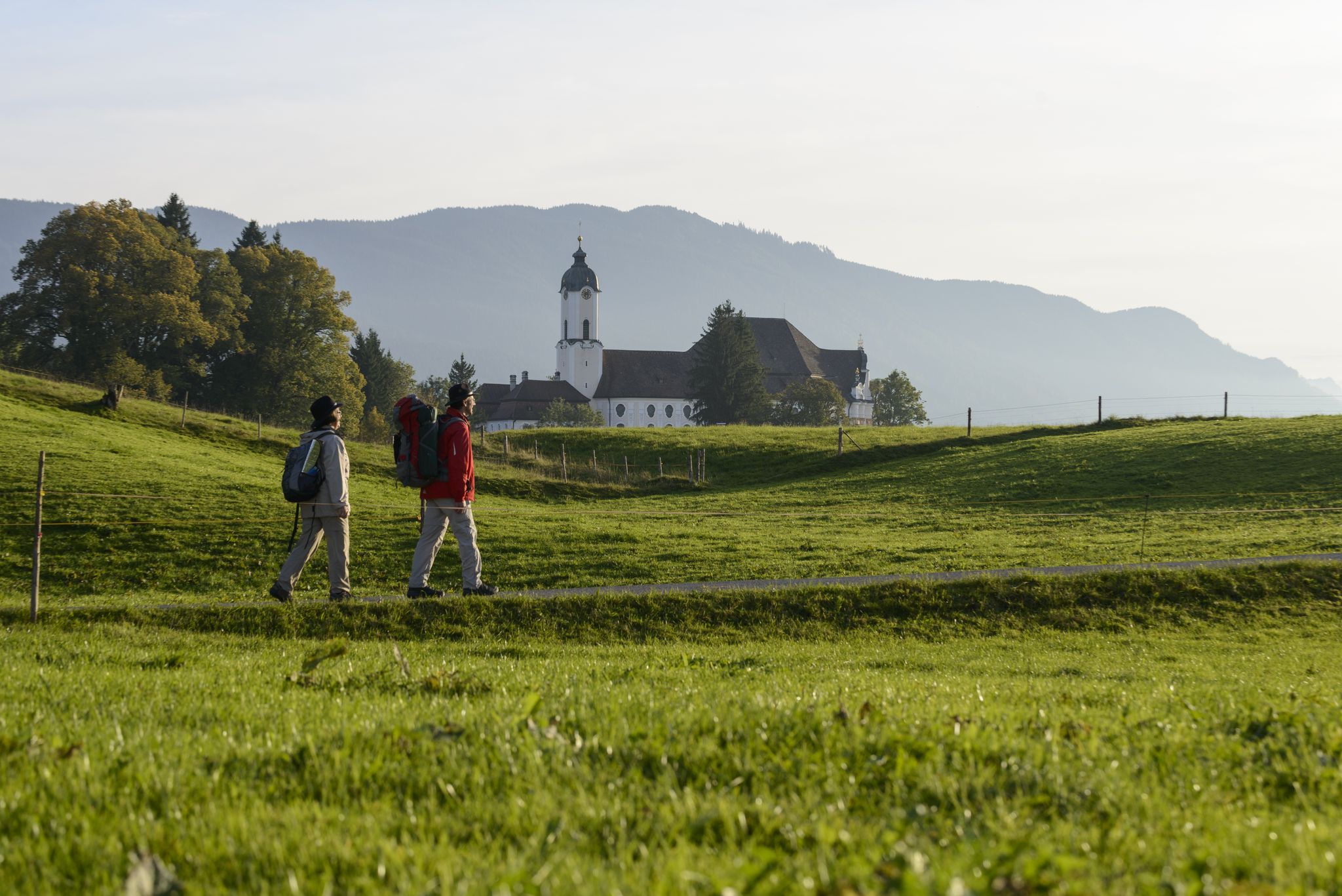
König-Ludwig-Weg: On the trails of Bavaria's fairytale König
Other adventures in the Ammergauer Alps


Tips from the Community

A beautiful shaded forest trail following the Sägertalbach stream, ideal for the descent. The gentle gradient and rushing water make it a refreshing end to the hike.
0
0
A pleasant alpine saddle with open meadows and great views toward the Brunnenkopf. A natural resting spot and good orientation point on this loop route.
0
0

Great overview of the lake and nice to hike or ride
0
0

At 1,250 meters, this large fortress complex awaits you with a view over the Reutte basin and the course of the Lech river. You can reach the Schlosskopf on foot or comfortably with the Top Liner. At the top, a panoramic path leads through the complex and to several viewpoints with a 360° view of the surrounding mountains.
0
0
Beautiful viewing bench at the access to the Ehrenberg castle ruins. From here it is only a few minutes up to the complex. At the same time, there is a lot to offer here: the highline179 spans spectacularly across the valley, Zipline and Ehrenberg Liner start nearby.
0
0

Cool lake, beautiful for biking here.
0
0

I started my hike at the lake's tip, where the panoramic trail also begins. It's a forest path offering many different views of the lake. This trail is suitable for the whole family.
0
0

Sturdy footwear recommended
0
0
Frequently Asked Questions
How many bus-accessible hiking trails are there in the Ammergauer Alps?
The Ammergauer Alps offer a vast network of hiking trails, with over 800 routes accessible from bus stations. This includes a wide variety of options, from easy strolls to challenging mountain ascents, ensuring there's a suitable adventure for every hiker.
What makes hiking from bus stations in the Ammergauer Alps unique?
Hiking from bus stations in the Ammergauer Alps provides unparalleled access to the region's diverse landscapes without needing a car. You can explore everything from unique ice-age moors and wild river valleys to impressive mountain peaks and cultural landmarks like castles and monasteries, all while relying on convenient public transport.
What is the best time of year for bus-accessible hikes in the Ammergauer Alps?
The Ammergauer Alps are beautiful year-round. Spring and autumn offer pleasant temperatures and vibrant colors, ideal for valley hikes and exploring the moors. Summer is perfect for higher-altitude tours and enjoying the full range of trails. Some lower-lying paths and themed trails may also be accessible in winter, offering a serene, snow-covered experience.
Are there any notable natural attractions or landmarks accessible from bus station hikes?
Absolutely! Many bus-accessible routes lead to or offer views of significant natural attractions. You can discover impressive waterfalls like the Lechfall or explore the dramatic Schleifmühl Gorge. The region's unique moors, like the Waldmoos Nature Reserve, are also often reachable, showcasing rare flora and fauna.
Can I see any castles or historical sites on these bus-accessible routes?
Yes, the Ammergauer Alps are rich in history and culture. Many trails offer stunning views of iconic structures such as Neuschwanstein Castle, or lead past charming villages like Oberammergau and the impressive Ettal Monastery. For example, the View of Neuschwanstein Castle – Rohrkopf Hut loop from Schwangau is a moderate hike that provides fantastic castle vistas.
What do other hikers say about the bus-accessible trails in the Ammergauer Alps?
The komoot community highly rates the hiking experiences in the Ammergauer Alps, with an average score of 4.5 stars from over 55,000 ratings. Reviewers often praise the diverse landscapes, well-maintained paths, and the convenience of accessing trails directly from public transport stops.
Are there family-friendly bus-accessible hiking options?
Yes, the Ammergauer Alps offer numerous family-friendly trails accessible by bus. Many easy circular routes through meadows and forests are perfect for all ages. Themed trails, such as the Timberland Trail or the Bee Trail, are specifically designed to engage children and make hiking an educational adventure.
Can I find circular routes that start and end at a bus station?
Yes, many of the bus-accessible trails in the Ammergauer Alps are circular, allowing you to start and finish your hike at the same bus stop. This is ideal for exploring the diverse scenery without needing to retrace your steps. An example is the Kessel-Hasental Loop, a challenging circular route.
Are there any bus-accessible hikes with impressive mountain views?
Definitely! The Ammergauer Alps are known for their stunning panoramic vistas. Many bus-accessible routes lead to viewpoints or even to peaks that offer breathtaking views stretching from the Zugspitze to Munich. The View of the Plansee – Panoramic Trail above the Plansee loop from Plansee is a moderate option with beautiful lake and mountain scenery.
What kind of terrain can I expect on these bus-accessible trails?
The Ammergauer Alps offer a wide variety of terrain. You can expect gentle paths through lush meadows and dense forests, challenging ascents on rocky mountain trails, and even paths along wild rivers and through dramatic gorges. The region's unique ice-age moors also provide distinct, often boardwalk-lined, walking experiences.
Are there options for more challenging bus-accessible hikes?
For experienced hikers, the Ammergauer Alps provide several challenging bus-accessible routes. These often involve significant elevation gain, rugged terrain, and can lead to higher peaks. The View of Plansee and Geierköpfe – Scenic Gravel Ascent loop from Plansee is an example of a difficult hike offering rewarding views.
Are there any bus-accessible trails that follow rivers or lead to gorges?
Yes, the region is characterized by its wild rivers and impressive gorges. You can find bus-accessible trails that run alongside the largely natural Ammer River or lead directly into spectacular gorges. The Lech riverbank on the Auwaldpfad – Lechfall loop from Schwangau is a moderate route that explores the river landscape and the famous Lechfall.
Most popular routes in the Ammergauer Alps
Most popular attractions in the Ammergauer Alps

Get inspired with the komoot mobile app


Explore more
Browse the best Hikes in other regions.
