The best mountain hikes in the Ammergauer Alps
4.7
(2545)
21,028
hikers
366
hikes
Mountaineering routes in the Ammergauer Alps traverse a diverse landscape characterized by rounded peaks, rugged ridgelines, and valleys shaped by ancient glaciation. The region, home to one of Bavaria's largest nature reserves, features peaks primarily composed of dolomite and Wetterstein limestone, contributing to craggy formations at higher elevations. Lower areas include original forests, mystical moors, and wild rivers, offering varied terrain for mountaineering. This protected natural park ensures a rich environment for outdoor activities.
Best mountaineering routes in the Ammergauer Alps
- The most popular mountaineering route is Up the Notkarspitze - Mountain tours Ammergau Alps, a 7.1 miles (11.4 km) difficult trail that takes 6 hours 6 minutes to complete. This challenging ascent offers extensive views across the Ammergau Alps.
- Another top favourite among local mountaineers is Crossing Hochplatte - Mountain tours Ammergau Alps, a difficult 6.7 miles (10.8 km) path. This route involves a significant elevation gain, leading across the Hochplatte peak.
- Local mountaineers also love the Up to the Kreuzspitze - Mountain tours Ammergau Alps, a 7.0 miles (11.2 km) trail leading through varied alpine terrain, often completed in about 7 hours 15 minutes.
- Mountaineering in the Ammergauer Alps is defined by limestone peaks, deep river gorges, and extensive mixed mountain forests. The network offers options for different ability levels, from moderate ascents to challenging alpine routes.
- The routes in Ammergauer Alps are highly rated by the komoot community with an average score of 4.8 stars from over 2,600 reviews. More than 22,000 mountaineers have used komoot to explore Ammergauer Alps's varied terrain.
Last updated: June 26, 2026
4.7
(59)
443
hikers
11.4km
06:06
1,000m
1,000m
Hard mountaineering route. Very good fitness required. Sure-footedness, sturdy shoes and alpine experience required.
4.8
(52)
375
hikers
10.8km
05:36
910m
910m
Hard mountaineering route. Very good fitness required. Sure-footedness, sturdy shoes and alpine experience required.

Sign up for free
4.5
(31)
302
hikers
11.2km
07:15
1,030m
1,030m
Hard mountaineering route. Very good fitness required. Sure-footedness, sturdy shoes and alpine experience required.
4.8
(38)
319
hikers
6.33km
03:12
650m
650m
Hard mountaineering route. Good fitness required. Sure-footedness, sturdy shoes and alpine experience required.
4.8
(27)
285
hikers
13.4km
06:44
940m
940m
Hard mountaineering route. Very good fitness required. Sure-footedness, sturdy shoes and alpine experience required.
4.9
(7)
129
hikers
9.01km
04:34
720m
720m
Moderate mountaineering route. Good fitness required. Mostly accessible paths. Sure-footedness required.
4.7
(33)
210
hikers
12.2km
03:41
570m
570m
Hard mountaineering route. Good fitness required. Sure-footedness, sturdy shoes and alpine experience required.
4.9
(7)
72
hikers
9.64km
04:34
670m
670m
Moderate mountaineering route. Good fitness required. Mostly accessible paths. Sure-footedness required.
5.0
(4)
12
hikers
Moderate mountaineering route. Great for any fitness level. Mostly accessible paths. Sure-footedness required.
5.0
(1)
12
hikers
14.5km
06:20
700m
700m
Hard mountaineering route. Very good fitness required. Mostly accessible paths. Sure-footedness required.
Get access to more routes and recommendations from other explorers.
Sign up for free
Already have an account?
Our route recommendations are based on thousands of hikes, rides, and runs completed by other people on komoot.
Start today with a free account
Your next adventure awaits.
Login or Signup
Popular around Ammergauer Alps

Maximilian Trail in Germany — Lake Constance to Königssee

The Romantic Road – To the Pearls of Southern Germany
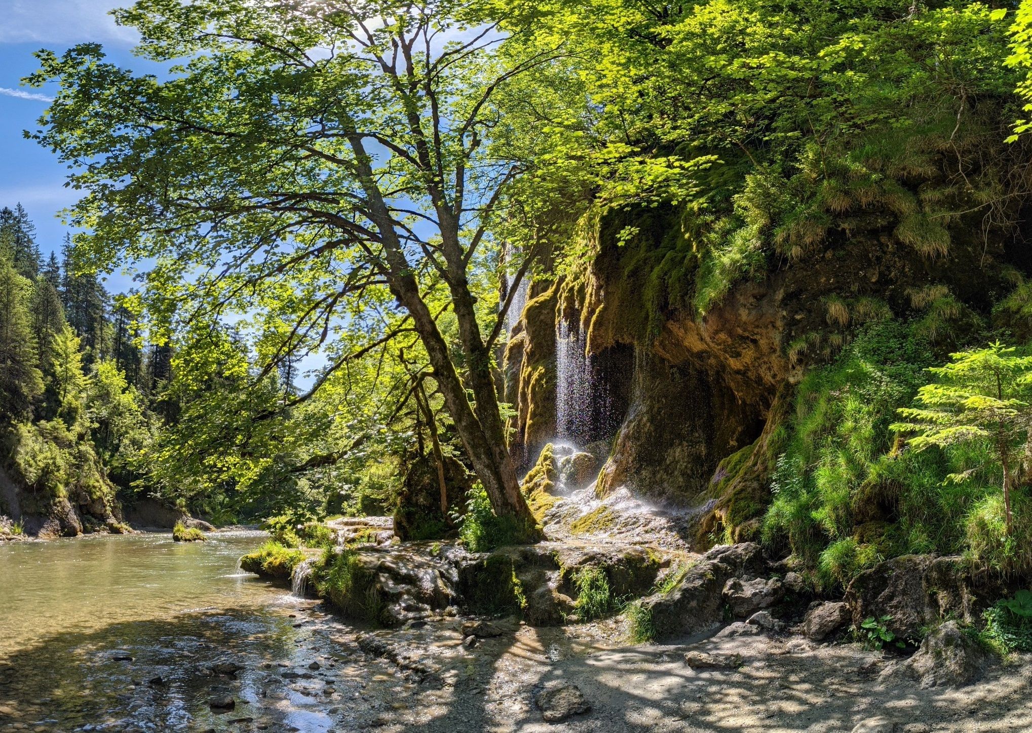
Ammergau Alps meditation path in Bavaria – Breathe in, breathe out
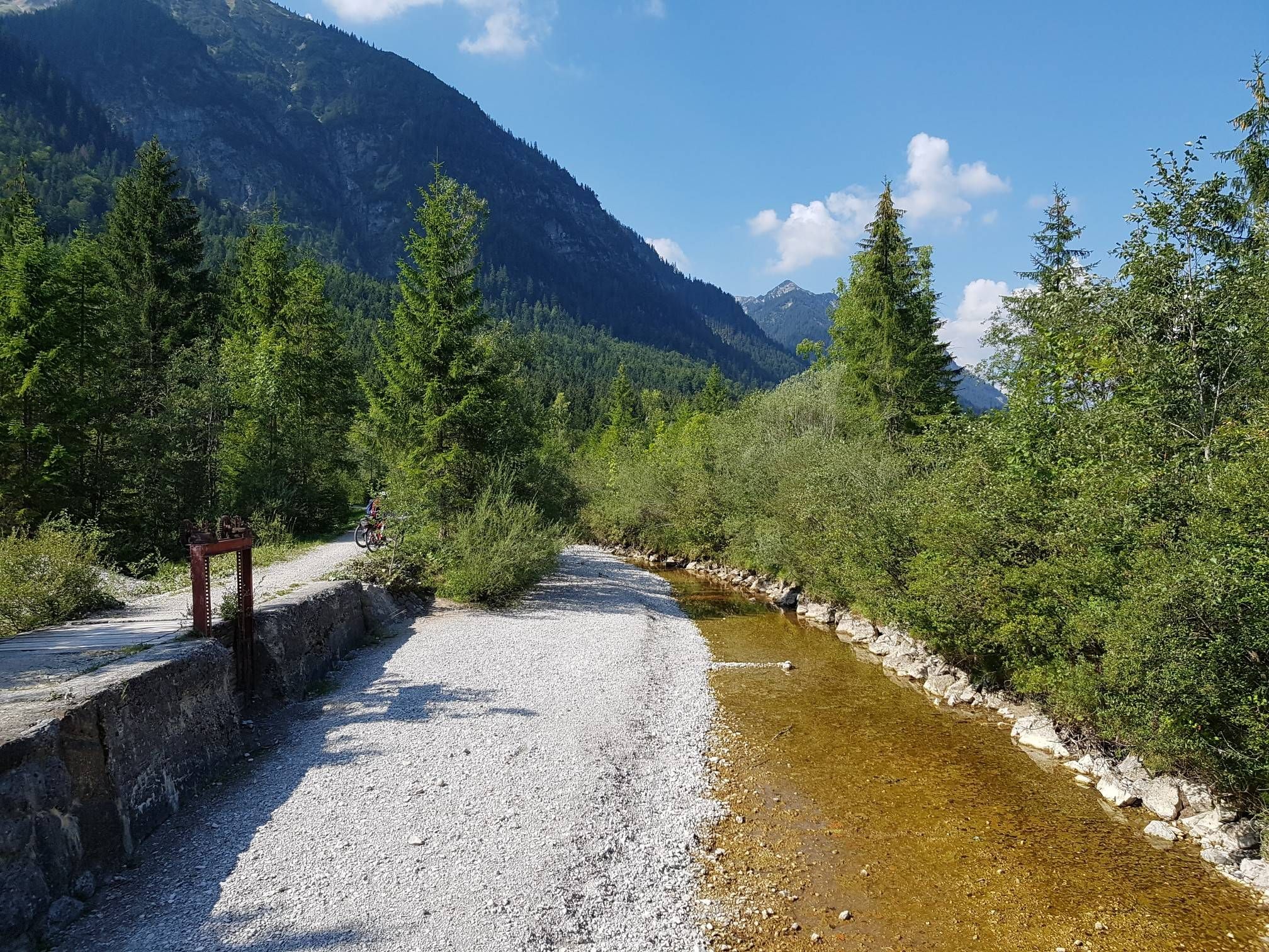
The Ammer-Amper Cycle Path – Experience nature in the foothills of the Alps
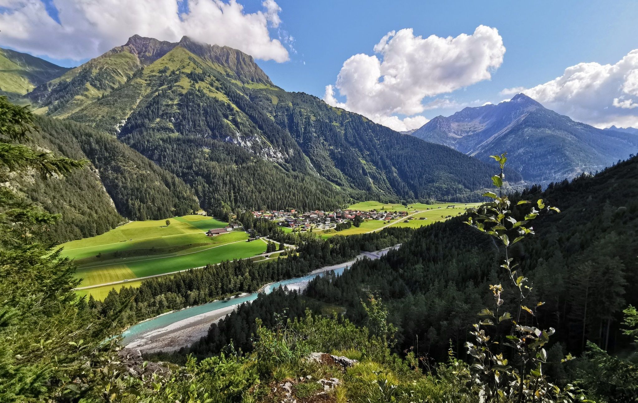
The Lechweg — eight days on Austria's wildest river
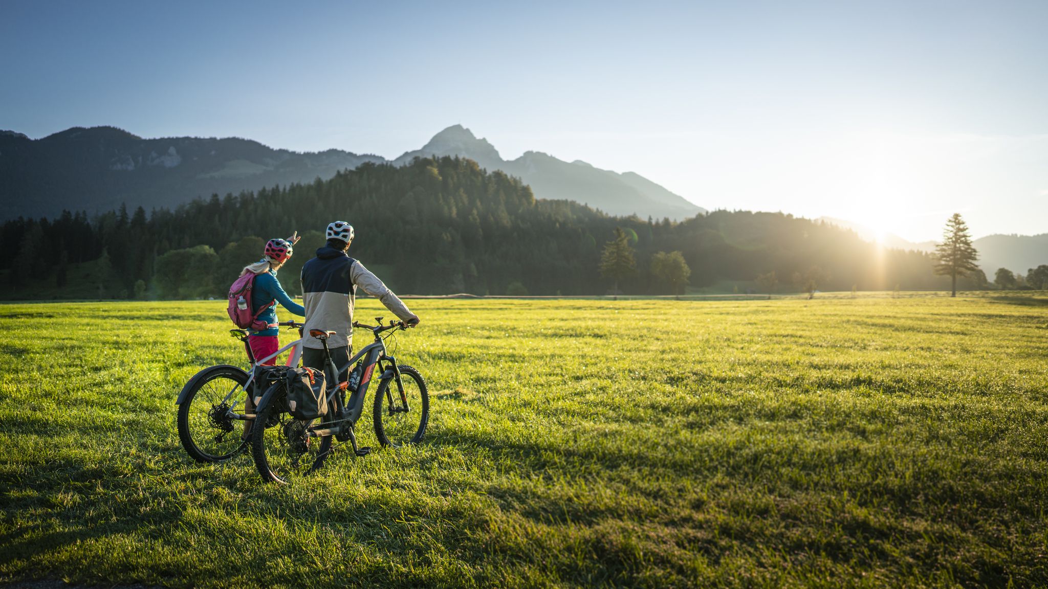
Lake Constance to Königssee cycle path
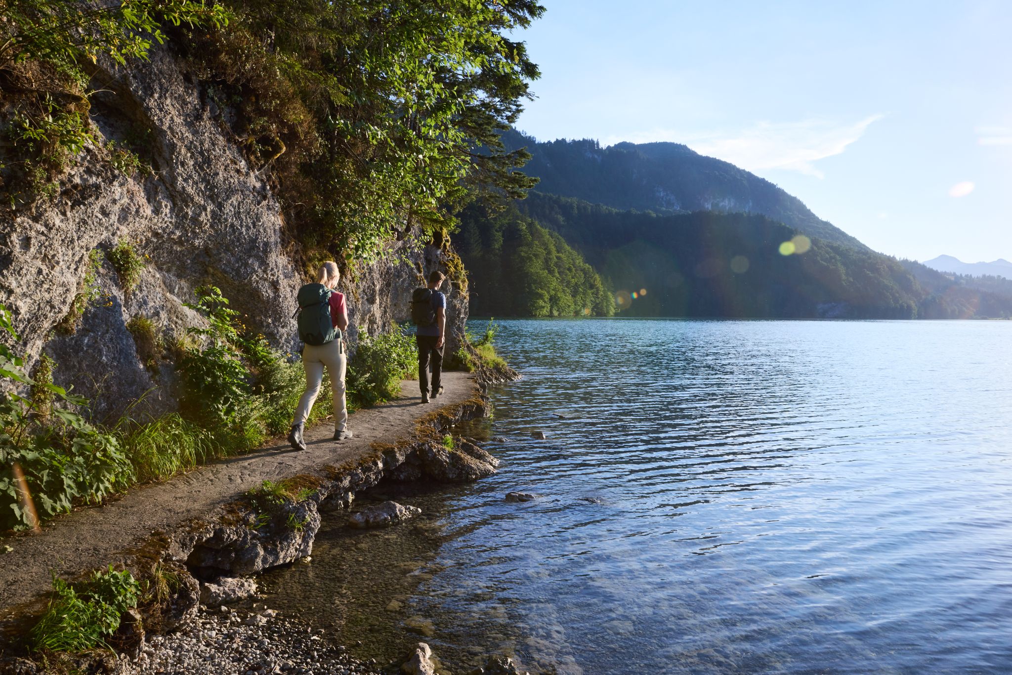
Lechloops – wonderful hiking along the wild Lech
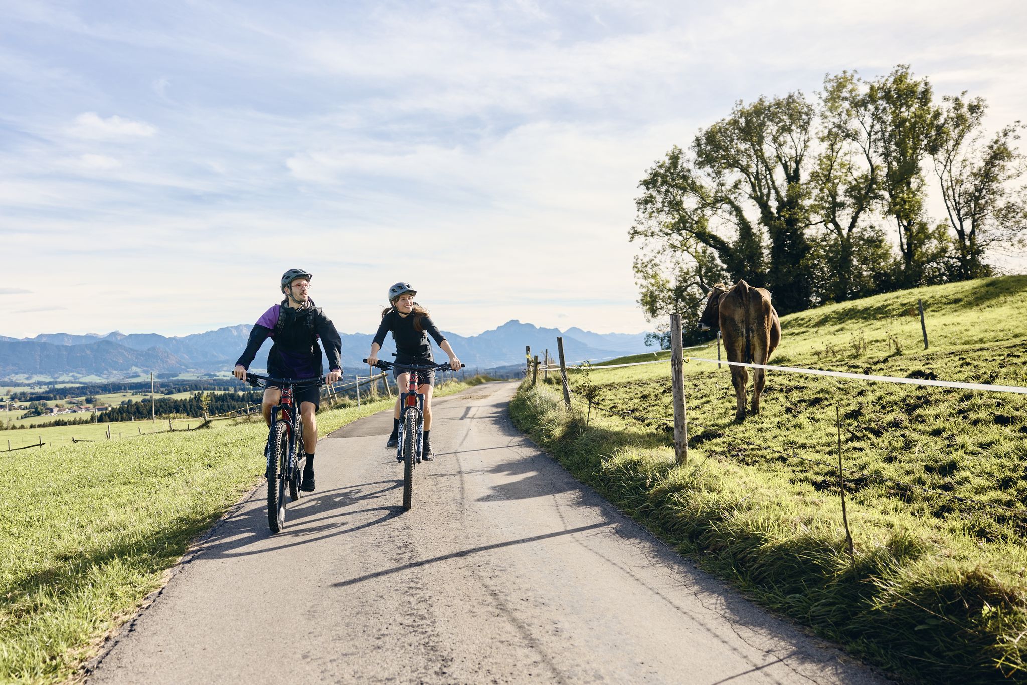
Land of the Moors – cycling between alpine views and wetland paths

The National Natural Landscapes in Bavaria
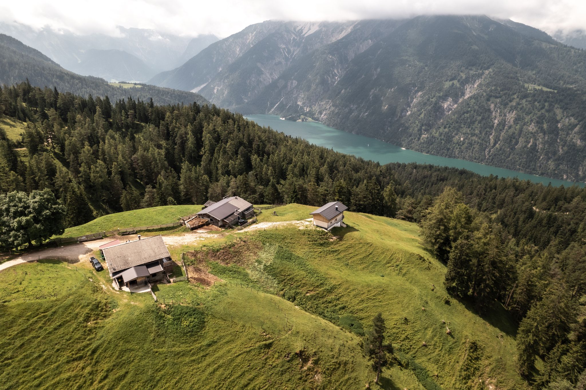
Lakes'n'Knödel – Bikepacking adventure with a taste of the Alps
Other adventures in the Ammergauer Alps


Tips from the Community

A striking natural rock arch framing the ridgeline — a geological highlight of the Ammergau Alps. Look for it as you traverse the ridge toward the Feigenkopf. Easy to miss if you're moving fast.
0
0

The Ochsensitz is a nice little stopover on the way to the Ziegelspitz or the Notkarspitze. It's not a true summit, but the spot has a nice large cross.
0
0

A beautiful, leisurely tour via Etthaler Mandl (via ferrata set recommended), Laber, and back to Oberammergau. Estimated time, including a break on the Laber, is approximately 7 hours.
0
0

above the clouds 🥰 and through the hole went down along the steel cable
1
0

From the parking lot to the summit of the Schwarzenköpfel, the route is somewhat demanding; good shoes and a steady stride are required. It's steep at times. Then, below the Kreuzspitze summit, a rocky route begins. You'll need to use your hands to climb. It's not particularly difficult, but definitely suitable for those who aren't afraid of heights.
0
0

Beautiful mountain inn with a great view.
1
0
The cross can be reached relatively quickly via a narrow path. The view of Unterammergau is beautiful.
2
0

Interesting route and strong views
1
0
Frequently Asked Questions
What kind of terrain can I expect on mountaineering routes in the Ammergauer Alps?
The Ammergauer Alps offer a diverse landscape for mountaineering. You'll find a mix of rounded peaks, rugged ridgelines, and valleys shaped by ancient glaciation. The higher elevations feature craggy formations due to dolomite and Wetterstein limestone, while lower areas boast original forests, mystical moors, and wild rivers. Routes can range from moderate ascents through lush flora to challenging alpine paths requiring sure-footedness.
Are there any routes suitable for beginners or those looking for a less strenuous mountaineering experience?
While many routes are classified as difficult, there are options for moderate mountaineering. For example, the tour Over the Schartenkopf to the Laber is a moderate 9 km route that takes around 4 hours 30 minutes. Another moderate option is From Linderhof Castle to the Pürschling, covering about 9.6 km in just over 4 hours 30 minutes.
What are some challenging mountaineering routes in the Ammergauer Alps?
For experienced mountaineers, the Ammergauer Alps offer several demanding routes. The ascent To the Große Klammspitze is a challenging 13.4 km tour with significant elevation gain. Another demanding option is Up the Stierkopf, a 14.5 km difficult route that typically takes over 6 hours.
Are there any mountaineering routes that include via ferrata sections?
Yes, for those seeking a more technical challenge, the route With via ferrata on the Ettaler Manndl offers a via ferrata experience. This difficult 6.3 km tour involves climbing sections and takes around 3 hours 10 minutes.
What natural features or landmarks can I see along the mountaineering routes?
The Ammergauer Alps are rich in natural beauty and cultural landmarks. You can explore the spectacular Ammer Gorge, the impressive Lechfall waterfall, or the Schleifmühl Gorge with its paths and wooden walkways. Many routes offer stunning viewpoints like the Laber Summit Viewpoint. You might also encounter cultural highlights such as Linderhof Palace or Ettal Monastery, which can be incorporated into your tours.
Are there any routes that pass by waterfalls or gorges?
Absolutely. The region is known for its impressive water features. A notable route is Through the Schleifmühlklamm gorge to the Steckenberg cross, which takes you directly through the scenic Schleifmühl Gorge, featuring several waterfalls along its wooden walkways.
What do other mountaineers enjoy most about the Ammergauer Alps?
The Ammergauer Alps are highly rated by the komoot community, with an average score of 4.8 stars from over 2,600 reviews. Mountaineers often praise the varied terrain, from craggy limestone peaks to serene forests, and the extensive views from summits like Notkarspitze and Kreuzspitze. The combination of pristine nature and cultural landmarks also makes it a popular destination.
Are there mountain huts available for refreshments or overnight stays?
Yes, the Ammergauer Alps feature numerous mountain huts that serve as excellent spots for refreshments during your tour or even for overnight stays. These huts, such as the Rohrkopf Hut or Hörnle Hut, allow you to experience sunrises and sunsets from the peaks, enhancing your mountaineering adventure.
What is the best time of year for mountaineering in the Ammergauer Alps?
The best time for mountaineering in the Ammergauer Alps is generally from late spring to early autumn (May to October). During these months, the weather is more stable, and trails are typically free of snow, making for safer and more enjoyable ascents. Always check local weather conditions before heading out, as alpine weather can change rapidly.
Are there any permits required for mountaineering or climbing in the Ammergauer Alps?
Based on available information, there are no general permits required for mountaineering or hiking on the established trails in the Ammergauer Alps Nature Park. However, if you plan on specific climbing routes or via ferratas, it's always advisable to check for any specific regulations or equipment requirements for those particular sections.
How many mountaineering routes are available in the Ammergauer Alps?
There are over 380 mountaineering routes available in the Ammergauer Alps, catering to various skill levels. This extensive network includes 9 easy, 118 moderate, and 253 difficult routes, ensuring a wide range of options for every mountaineer.
Most popular routes in the Ammergauer Alps
Most popular attractions in the Ammergauer Alps

Get inspired with the komoot mobile app


Explore more
Browse the best Mountain Hikes & Routes in other regions.
