The best walks and hikes in the Ammergauer Alps
4.6
(60261)
323,077
hikers
1,853
hikes
Hiking in the Ammergauer Alps offers diverse landscapes, characterized by one of Germany's largest mixed mountain forests and a varied topography of rounded peaks and rugged ridgelines. The region features significant ice-age moors, including the Waldmoos Nature Reserve, and dramatic natural monuments like the Ammer Gorge. Rivers such as the Ammer and Lech shape parts of the landscape, providing scenic routes. This area, part of the Ammergauer Alps Nature Park, presents a range of hiking experiences from gentle walks to demanding mountain ascents.
Best hiking trails in the Ammergauer Alps
- The most popular hiking route is Auf den Kofel – Rundtour in den Ammergauer Alpen, a 7.0 miles (11.2 km) trail that takes 4 hours 20 minutes to complete, featuring steady climbs and panoramic views of the surrounding peaks.
- Another top favourite among local hikers is Auf die Notkarspitze – Rundtour in den Ammergauer Alpen, a difficult 7.1 miles (11.4 km) path, offering a challenging ascent through varied mountain terrain.
- Local hikers also love the Buchenberg loop in Buching, a 2.7 miles (4.3 km) trail leading through forests and open landscapes, often completed in about 1 hour 50 minutes.
- Hiking in the Ammergauer Alps is defined by mixed mountain forests, ice-age moors, and dramatic gorges, alongside varied peaks and ridgelines. The network offers options for different ability levels, from leisurely strolls to challenging mountain treks.
- The routes in Ammergauer Alps are highly rated by the komoot community with an average score of 4.6 stars from over 54,000 reviews. More than 296,000 hikers have used komoot to explore Ammergauer Alps's varied terrain.
Last updated: July 4, 2026
4.7
(734)
3,273
hikers
11.2km
04:21
570m
570m
Hard hike. Good fitness required. Sure-footedness, sturdy shoes and alpine experience required.
4.6
(322)
1,813
hikers
11.4km
06:06
1,000m
1,000m
Hard hike. Very good fitness required. Sure-footedness, sturdy shoes and alpine experience required.

Sign up for free
4.7
(516)
1,881
hikers
Moderate hike. Good fitness required. Mostly accessible paths. Sure-footedness required.
4.8
(416)
1,744
hikers
4.31km
01:50
320m
320m
Moderate hike. Good fitness required. Mostly accessible paths. Sure-footedness required.
4.8
(223)
1,401
hikers
6.96km
03:23
790m
790m
Moderate hike. Good fitness required. Easily-accessible paths. Suitable for all skill levels.
4.8
(313)
1,335
hikers
9.82km
02:41
150m
150m
Moderate hike. Good fitness required. Easily-accessible paths. Suitable for all skill levels.
4.7
(261)
1,177
hikers
9.49km
03:17
490m
490m
Moderate hike. Good fitness required. Mostly accessible paths. Sure-footedness required.
4.7
(229)
857
hikers
15.4km
04:28
340m
340m
Moderate hike. Good fitness required. Mostly accessible paths. Sure-footedness required.
4.6
(232)
865
hikers
Moderate hike. Good fitness required. Mostly accessible paths. Sure-footedness required.
4.8
(166)
813
hikers
9.33km
04:49
840m
840m
Hard hike. Good fitness required. Sure-footedness, sturdy shoes and alpine experience required.
Get access to more routes and recommendations from other explorers.
Sign up for free
Already have an account?
Our route recommendations are based on thousands of hikes, rides, and runs completed by other people on komoot.
Start today with a free account
Your next adventure awaits.
Login or Signup
Popular around Ammergauer Alps

Maximilian Trail in Germany — Lake Constance to Königssee

The Romantic Road – To the Pearls of Southern Germany
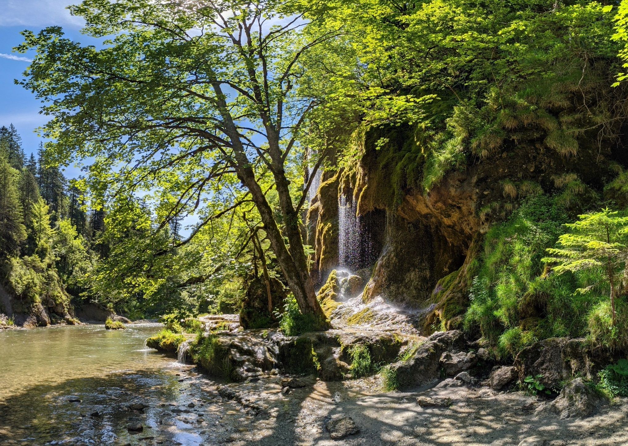
Ammergau Alps meditation path in Bavaria – Breathe in, breathe out
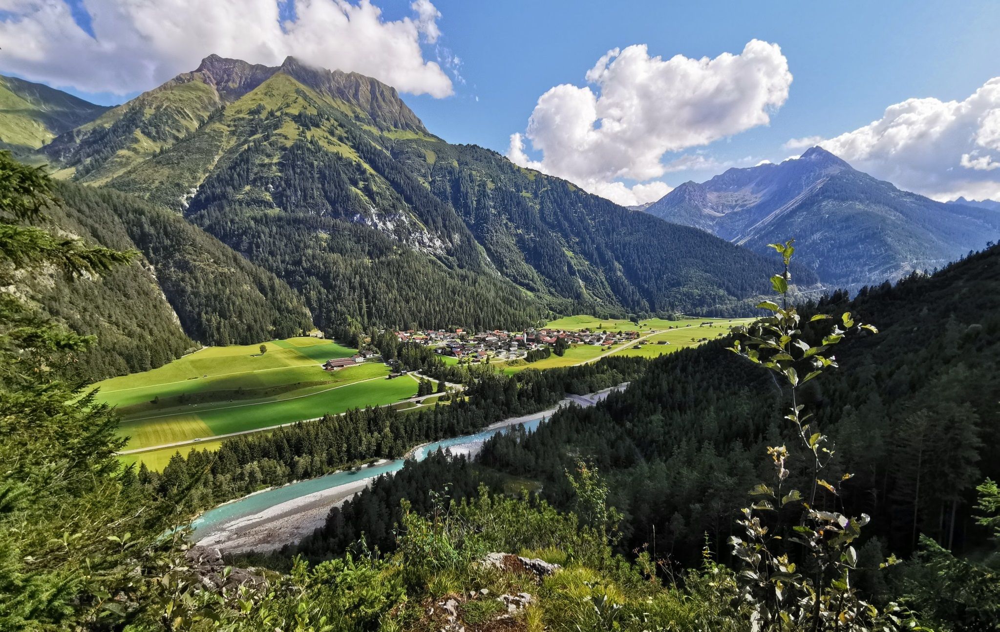
The Lechweg — eight days on Austria's wildest river
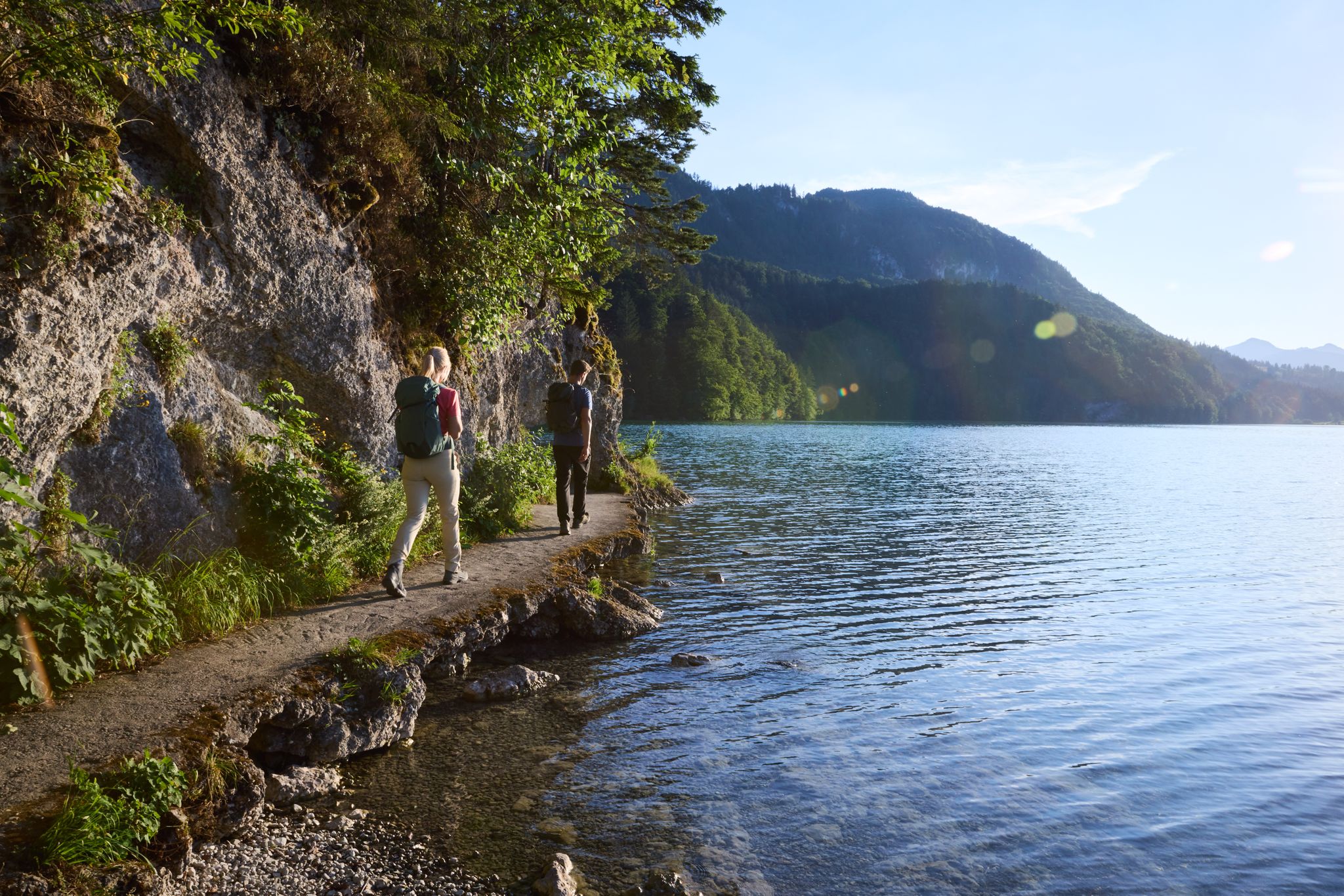
Lechloops – wonderful hiking along the wild Lech

The National Natural Landscapes in Bavaria
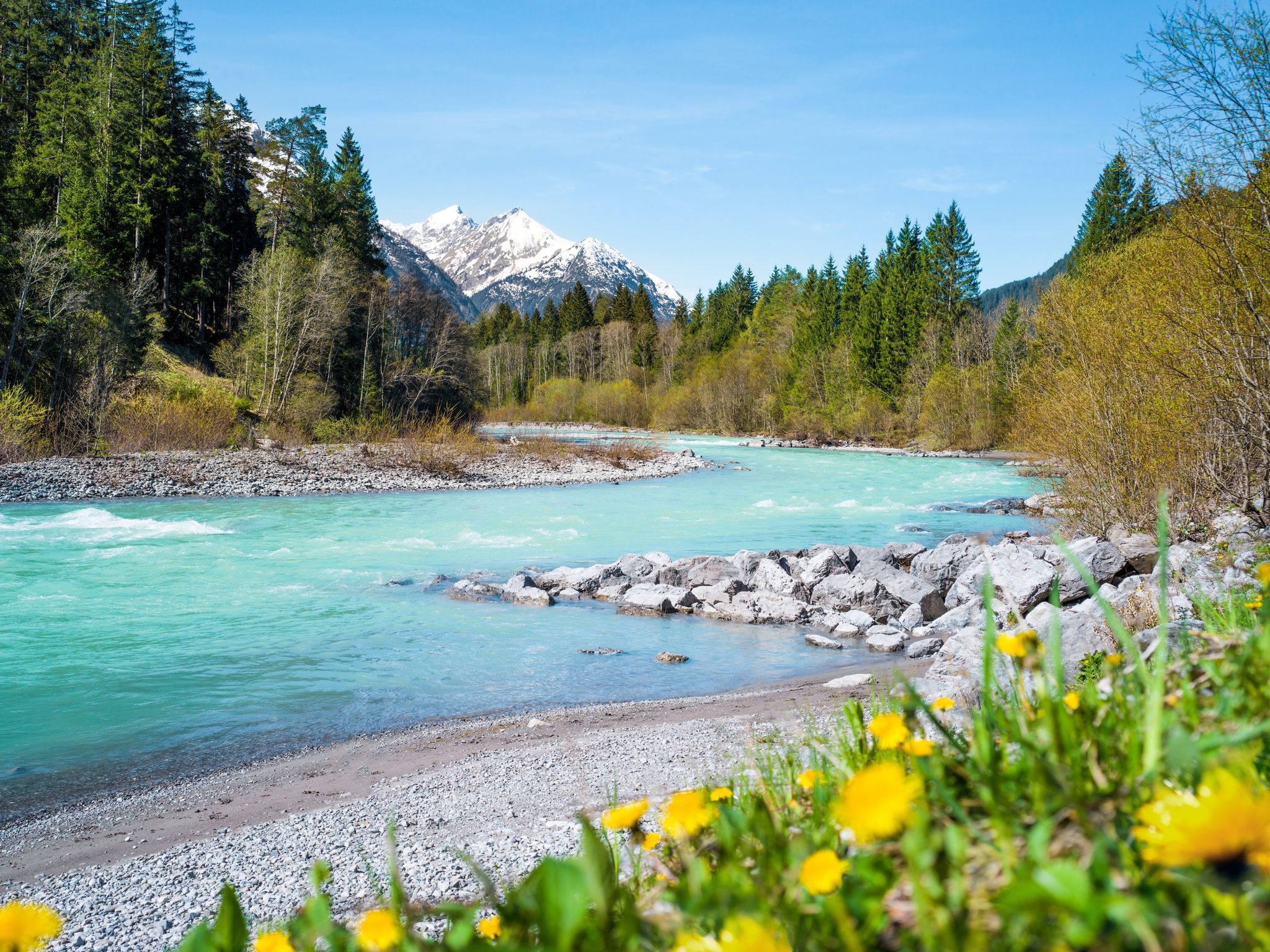
Multi-day hiking against the flow – the Lechweg in reverse
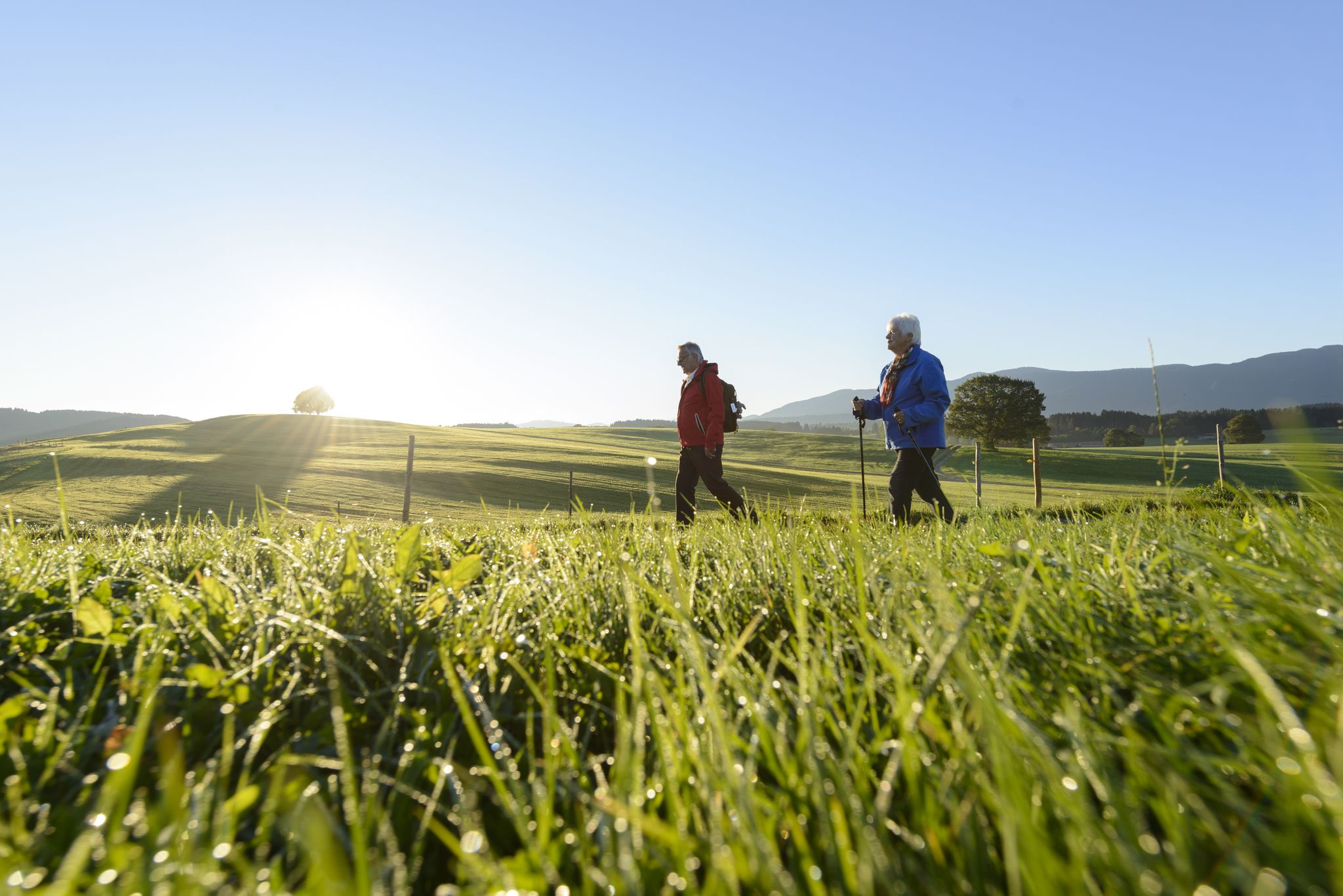
Sacred Landscape Pfaffenwinkel
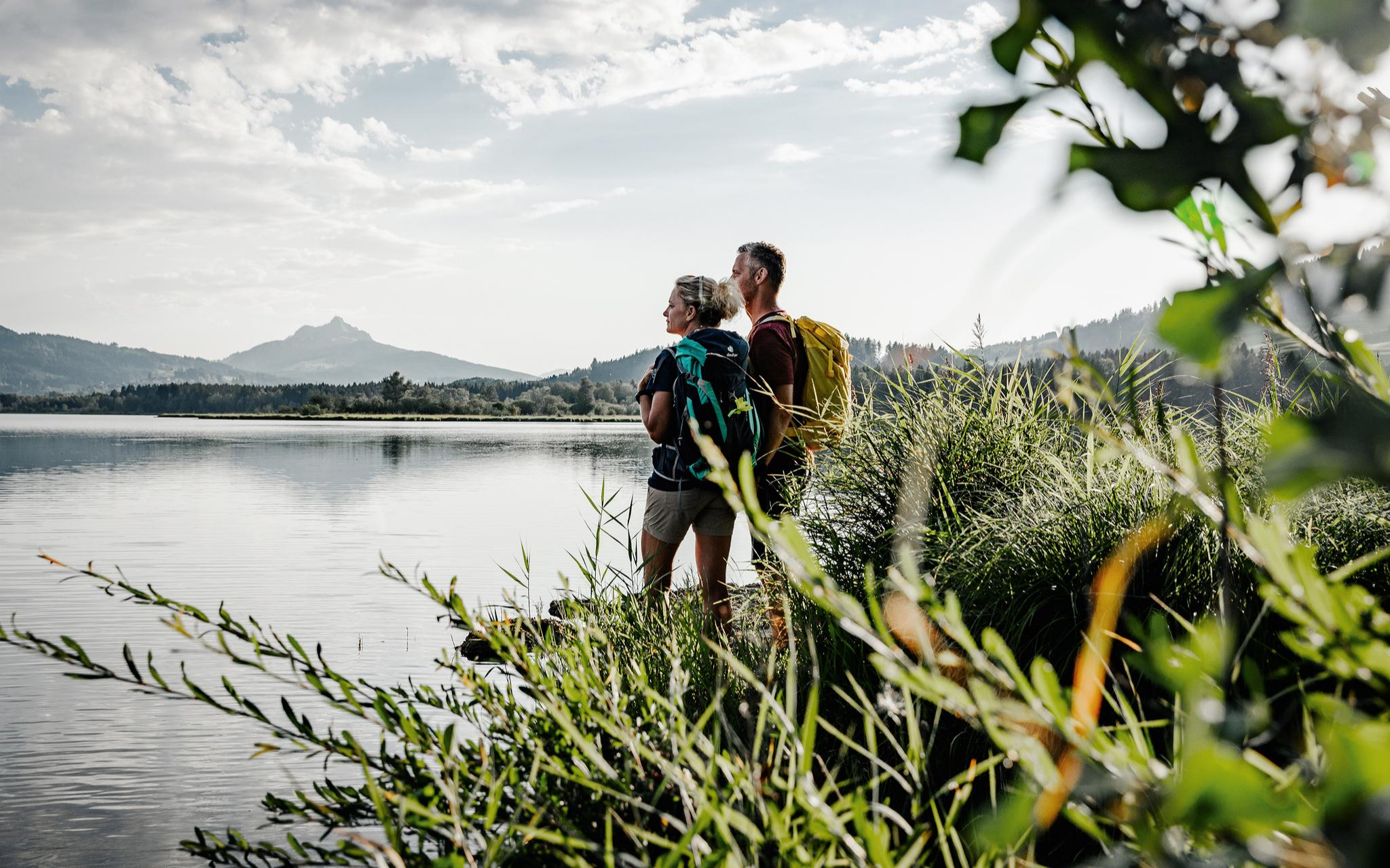
Fresh summer fun – half and full day hikes in Allgäu
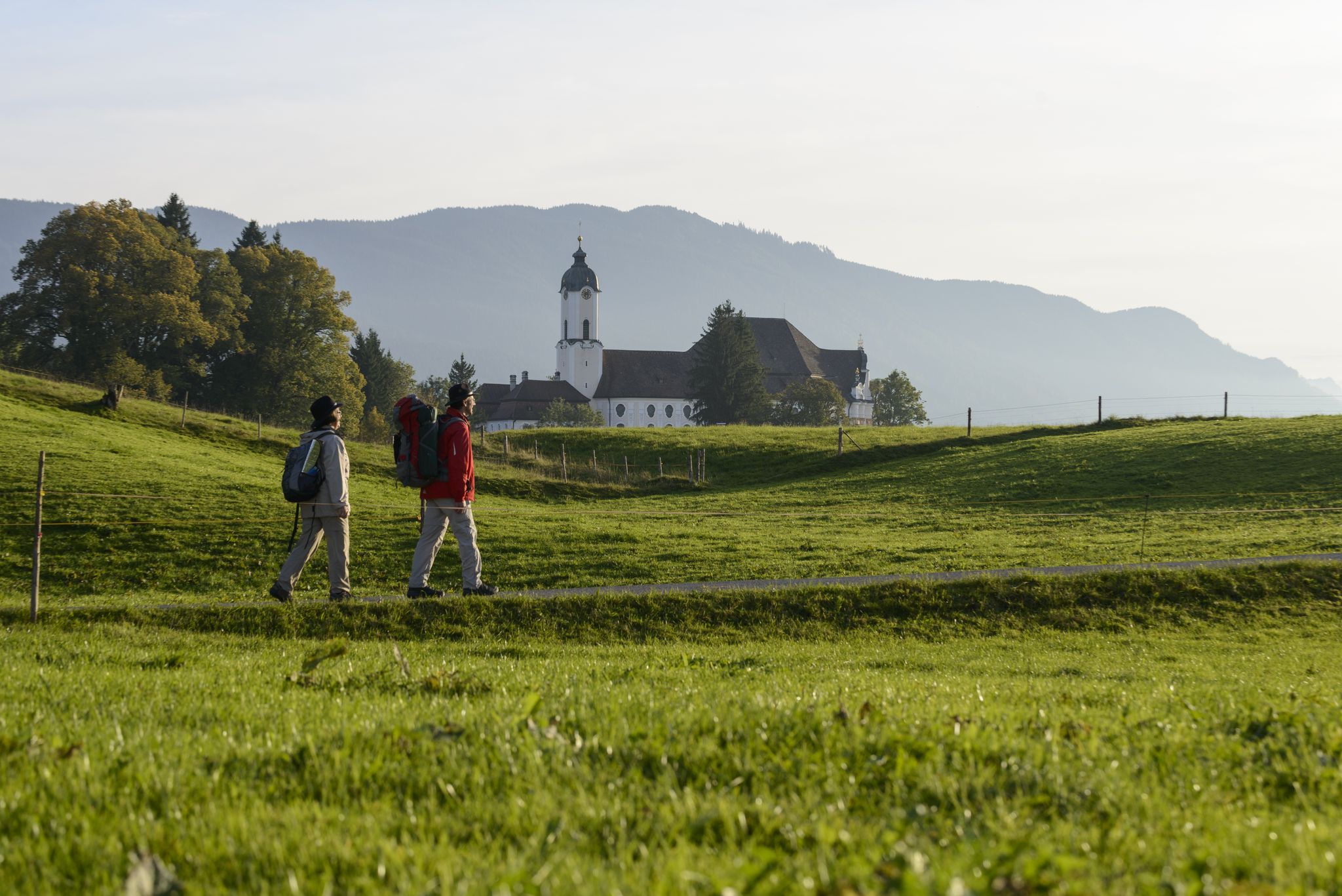
König-Ludwig-Weg: On the trails of Bavaria's fairytale König
Other adventures in the Ammergauer Alps


Tips from the Community

One of the most rewarding viewpoints on the route. From here you can see Ettal Abbey nestled in the valley below, the Ettaler Mandl peak, and the Zugspitze range stretching to the horizon — an iconic Bavarian alpine panorama.
0
0

Two lakes that flow almost seamlessly into one another: Mittersee and Obersee are idyllically situated in the Faulenbach Valley and appear like a natural retreat near Füssen. Both lakes have natural outdoor pools with sunbathing lawns, diving opportunities, and access to the clear water – perfect for a refreshing break on warm days. Surrounded by forests and meadows, you will find quiet lakeside paths here.
0
0

The Ochsensitz is a nice little stopover on the way to the Ziegelspitz or the Notkarspitze. It's not a true summit, but the spot has a nice large cross.
0
0

The Kofel was already revered by the Celts. The grotto trail below the Kofel is full of stone carvings, small caves with statues of Mary, and angel figures everywhere – in the moss, in the branches, in the rock crevices. A magical place.
0
0

The lake is located at the foot of Neuschwanstein Castle. Super beautiful color and always great photo opportunities of the castle.
0
0

The path to the Ochsensitz is beautifully varied and offers beautiful views of the Zugspitze, the Wank, and the Kofel, to name just a few well-known ones...
0
0

The upper part is dry again and easier
0
0

Good trekking shoes are recommended, I think any time of year will be good here, the trail is not particularly demanding, I would definitely recommend spring or summer for beginners.
0
0
Frequently Asked Questions
How many hiking trails are available in the Ammergauer Alps?
The Ammergauer Alps offer an extensive network of trails, with over 1,800 hiking routes available on komoot. These range from leisurely strolls to challenging mountain treks, catering to all experience levels.
What are the different difficulty levels for hiking trails in the Ammergauer Alps?
You'll find a wide range of difficulty levels. Approximately 750 routes are classified as easy, 670 as moderate, and nearly 400 as difficult. This variety ensures there's a suitable trail for every hiker, from beginners to experienced mountaineers.
What kind of terrain can I expect on hikes in the Ammergauer Alps?
The region boasts diverse terrain, from one of Germany's largest mixed mountain forests to ice-age moors and dramatic gorges. You'll encounter rolling hillsides, rounded peaks, and rugged ridgelines, offering varied landscapes and scenic backdrops for your hikes.
Are there any notable natural features or landmarks to see while hiking?
Absolutely. The Ammergauer Alps are rich in natural beauty. You can explore the dramatic Schleifmühl Gorge with its paths and wooden walkways, or witness the impressive Lechfall, where the Lech River cascades over its entire width. The region also features unique ice-age moors and the Waldmoos Nature Reserve, known for its rare orchids and birdlife.
Can I see any castles or historical sites on hikes in the Ammergauer Alps?
Yes, the region is famous for its iconic castles. Many trails offer stunning views of Neuschwanstein Castle, and you can also find routes near Linderhof Palace. Picturesque towns like Oberammergau, known for its traditional 'Lüftlmalerei' frescoes, and Ettal with its world-famous basilica, also serve as cultural highlights along hiking paths.
Are there any hikes that feature waterfalls or gorges?
Definitely. The Ammergauer Alps are home to several impressive water features. The Schleifmühl Gorge offers a unique hiking experience with its waterfalls and walkways. You can also visit the powerful Lechfall, a spectacular 12-meter high waterfall.
Are there family-friendly hiking trails suitable for children in the Ammergauer Alps?
Yes, the region offers many options for families. With nearly 750 easy routes, you can find gentle walks through forests and along lakeshores, perfect for all ages. These trails often have less dramatic changes in elevation, making them enjoyable for children.
Are dogs allowed on hiking trails in the Ammergauer Alps?
Generally, dogs are welcome on hiking trails in the Ammergauer Alps. However, it's always recommended to keep them on a leash, especially in nature reserves like the Ammergauer Alps Nature Park, to protect wildlife and ensure a pleasant experience for everyone.
Is public transport available to reach hiking trailheads in the Ammergauer Alps?
Yes, many picturesque towns in the Ammergauer Alps, such as Oberammergau and Ettal, serve as excellent starting points for hikes and are accessible by public transport. This allows for flexible planning, including point-to-point hikes.
Are there many circular hiking routes in the Ammergauer Alps?
The Ammergauer Alps offer a good selection of circular hiking routes. For example, the moderate Altherrenweg Circular Trail provides a scenic loop, and the Buchenberg loop in Buching is another popular option that takes you through forests and open landscapes.
What do other hikers enjoy most about the trails in the Ammergauer Alps?
The trails in the Ammergauer Alps are highly rated by the komoot community, with an average score of 4.6 stars from over 54,000 reviews. Hikers frequently praise the diverse landscapes, from the extensive mixed mountain forests to the unique moors and the stunning views of the surrounding peaks and valleys.
What is the best time of year to go hiking in the Ammergauer Alps?
The Ammergauer Alps offer hiking opportunities throughout much of the year. Spring brings blooming wildflowers, while summer provides lush green landscapes and warmer temperatures. Autumn is particularly beautiful with vibrant fall foliage. Even in winter, some trails are suitable for snowshoeing or cleared for walking, offering a different kind of scenic beauty.
Are there options for less crowded hikes in the Ammergauer Alps?
Given the extensive network of over 1,800 trails, it's possible to find quieter routes, especially outside of peak tourist times or by exploring some of the less-trafficked paths within the Ammergauer Alps Nature Park. The region's diverse topography means there are always hidden gems to discover away from the main attractions.
Most popular routes in the Ammergauer Alps
Most popular attractions in the Ammergauer Alps

Get inspired with the komoot mobile app


Explore more
Browse the best Hikes in other regions.
