The best hikes from bus stations in La Palma
4.4
(25860)
98,315
hikers
795
hikes
Bus accessible hikes La Palma offer diverse terrain, from volcanic landscapes to lush laurisilva forests and deep ravines. The island is characterized by its dramatic elevation changes, including high mountain peaks and the vast Caldera de Taburiente National Park. This UNESCO Biosphere Reserve provides a network of well-maintained trails, making it a prominent destination for outdoor activities. Hikers can experience varied microclimates and geological features across short distances.
Best bus station hiking trails in La Palma
- The most popular bus…
Last updated: May 14, 2026
4.7
(323)
1,102
hikers
7.64km
02:22
270m
270m
Moderate hike. Good fitness required. Mostly accessible paths. Sure-footedness required.
4.5
(77)
258
hikers
Hard hike. Good fitness required. Sure-footedness, sturdy shoes and alpine experience required.

Sign up for free
4.8
(50)
262
hikers
17.8km
06:19
770m
770m
Hard hike. Very good fitness required. Sure-footedness, sturdy shoes and alpine experience required.
4.7
(40)
153
hikers
20.4km
08:13
1,580m
1,590m
Hike the difficult 12.6-mile Marcos y Cordero Trail through 13 water tunnels, ancient laurel forests, and stunning springs in La Palma.
4.9
(25)
98
hikers
21.5km
08:48
1,230m
1,240m
Hard hike. Very good fitness required. Sure-footedness, sturdy shoes and alpine experience required.
Get access to more routes and recommendations from other explorers.
Sign up for free
Already have an account?
Our route recommendations are based on thousands of hikes, rides, and runs completed by other people on komoot.
Start today with a free account
Your next adventure awaits.
Login or Signup
Popular around La Palma
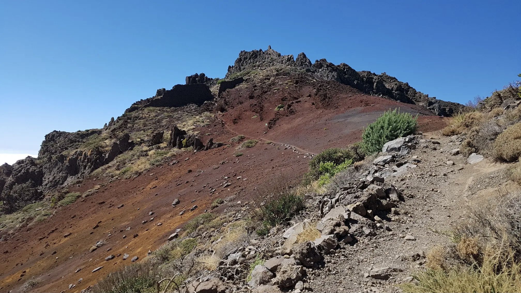
GR 131 El Bastón – La Palma in all its splendour

La Palma, El Hierro y La Gomera – explore the Canaries’ Green Islands on foot
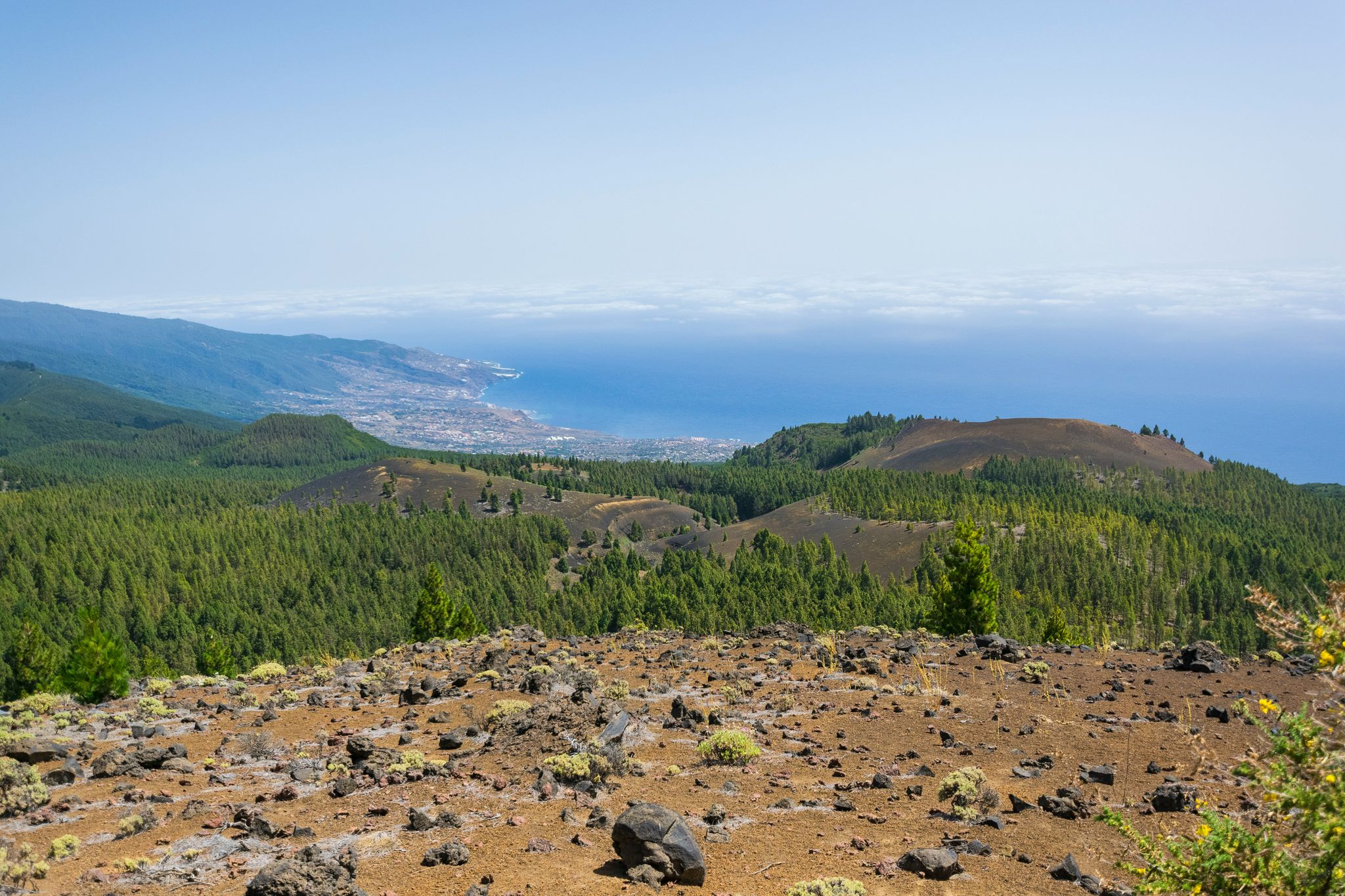
Around the beautiful island – La Palma Nature Trail (GR 130)
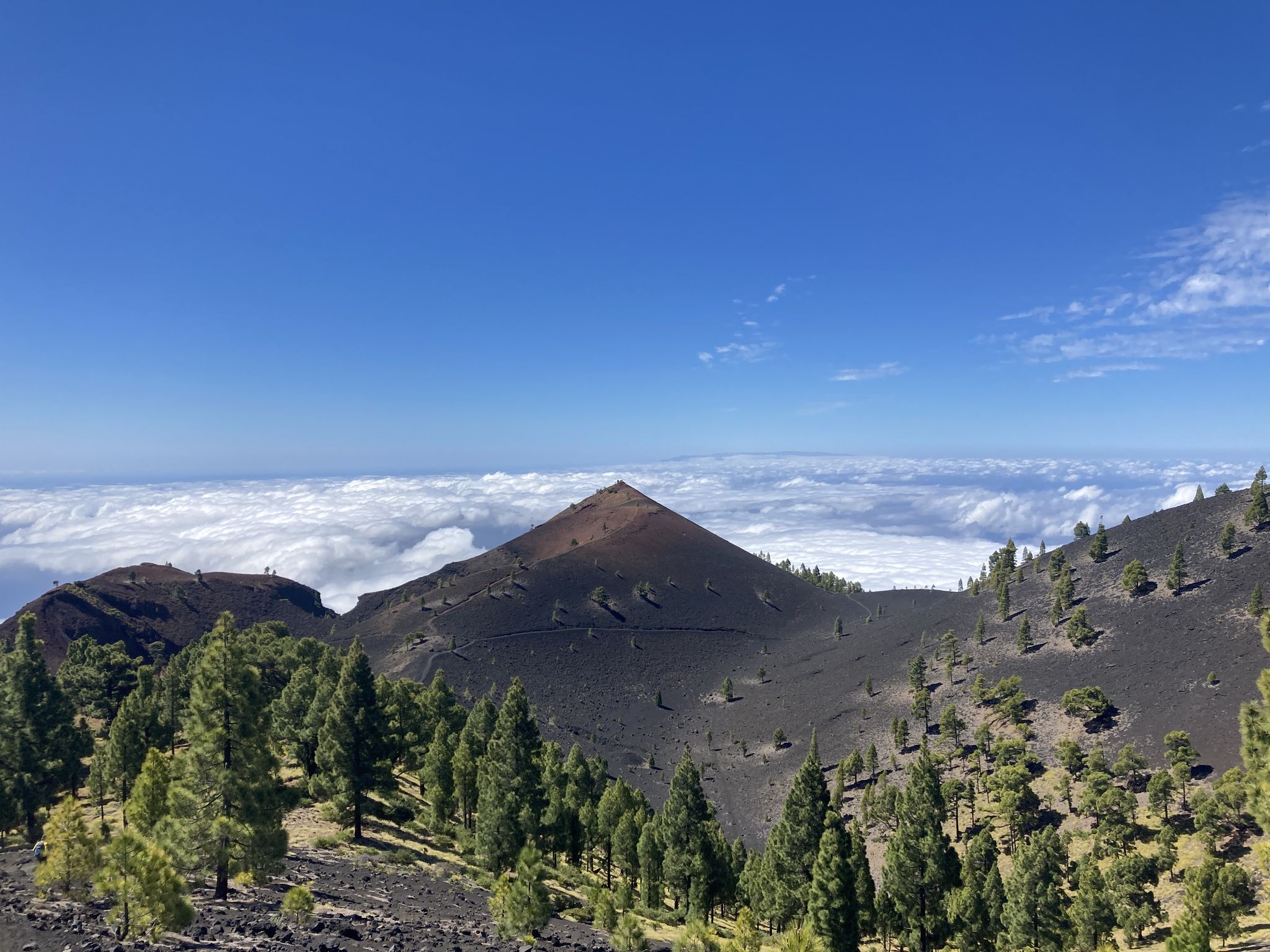
Transvulcania - traverse la Palma in the Canary Islands on the GR 131

La Palma – my favourite Tours on the Canary Islands’ Isla Bonita
Other adventures in La Palma


Tips from the Community

Caldera de Agua path is themporarily closed (19-05-2026).
0
0

The highest peak on the volcano route, offering a magnificent panoramic view: of the caldera, Tenerife with Mount Teide, and the next volcanic craters along the route. Caution: it can be quite windy on the ascent.
0
0

From the Los Tilos Visitor Center, you'll need to hike steadily uphill for about 2.5 km through the laurel forest along a wide forest road to reach the Mirador Espigón Atravesado viewpoint. The last stretch of the trail leads you along a narrow ridge secured with a railing. And here you can already get a sense of the view that awaits you. The viewpoint clings to the rock face like an eagle's nest. Above and below you, the impenetrable canopy of the laurel forest stretches across the steep cliffs and down into the deep ravines. You might even have a chance to see all the way to the Atlantic Ocean. Only about 4-5 people can fit on this viewpoint at a time, so you might have to eat your lunch somewhere else 😊.
0
0
It currently looks very neglected.
0
0

The route is currently closed.
4
0
Path is closed from Casa del Monte to Espigón crossed.
0
0

The Deseada volcano, with its two peaks (Deseada I at 1,947 m and Deseada II at 1,933 m), offers magnificent panoramic views over the Cumbre Vieja to the Caldera de Taburiente. A visit to this peak is an absolute must!
0
0
The trail to the cascades is closed. Only open route is to the mirador (almost 1 hour ascent). Nice vista.
2
1
Frequently Asked Questions
How many hiking trails are accessible from bus stations in La Palma?
La Palma offers a vast network of hiking trails, with over 700 routes accessible via public transport. These trails cater to all levels, from easy strolls to challenging mountain treks, allowing you to explore the island's diverse landscapes conveniently.
Are there family-friendly hiking options accessible by bus in La Palma?
Yes, La Palma has several family-friendly trails that are easily reached by bus. These routes often feature gentle gradients and interesting natural sights. For example, the La Zarza y La Zarzita – circular route is a moderate option that offers a pleasant walk through the northern forests. For more ideas, you can also check the official tourism website for family-specific trails: visitlapalma.es.
Can I find circular hiking routes that start and end at bus stops?
Absolutely. Many bus-accessible trails in La Palma are circular, allowing you to return to your starting point without needing additional transport. A notable example is the La Zarza y La Zarzita – circular route, which is a moderate loop through a beautiful natural reserve. Another challenging circular option is the Parque Natural de las Nieves – circular by the Cascada de los Tilos and the Mirador de las Barandas, which takes you through lush laurel forests.
What kind of natural features and landmarks can I expect to see on these bus-accessible trails?
La Palma's bus-accessible trails showcase the island's incredible natural diversity. You can explore ancient laurisilva forests, dramatic volcanic landscapes, and deep ravines. Highlights include impressive waterfalls like the Los Tilos Waterfall and the Colorful Waterfall within the Caldera de Taburiente. You might also encounter volcanic peaks such as Teneguía Volcano or enjoy panoramic views from high points like Roque de los Muchachos, often accessible via bus routes to nearby trailheads.
Are there any trails that feature waterfalls and are reachable by bus?
Yes, La Palma offers stunning trails with waterfalls that are accessible by bus. The Parque Natural de las Nieves – circular by the Cascada de los Tilos and the Mirador de las Barandas is a challenging route that leads to the impressive Los Tilos Waterfall. Another classic, the Marcos y Cordero Trail, takes you through tunnels and past natural springs, including the Marcos Spring Waterfall, though this is a longer point-to-point hike.
What is the best time of year to hike La Palma's bus-accessible trails?
La Palma's mild climate makes it suitable for hiking year-round. However, the best time is generally from autumn to spring (October to May) when temperatures are cooler and more comfortable for longer treks. During summer, higher altitudes offer a pleasant escape from the heat, but always be prepared for microclimates, as weather can change rapidly across different parts of the island.
Are permits required for any bus-accessible hiking trails in La Palma?
Permits are generally not required for most day hikes in La Palma. However, for specific routes within the Caldera de Taburiente National Park, especially those involving overnight stays or certain restricted areas, permits might be necessary. Always check with the National Park visitor center or official La Palma tourism resources before embarking on a hike in protected areas, particularly for popular routes like the Ruta de los Volcanes or the Marcos y Cordero Trail, which can sometimes have restrictions or require prior booking for transport.
What do other hikers say about the bus-accessible trails in La Palma?
The hiking trails in La Palma are highly regarded by the komoot community, with an average rating of 4.36 out of 5 stars from over 24,000 reviews. Hikers frequently praise the island's stunning and varied landscapes, from lush laurel forests to dramatic volcanic terrain, as well as the well-maintained and clearly marked trails. The convenience of accessing many trailheads via public transport is also a commonly highlighted positive aspect.
Are there any challenging bus-accessible hikes for experienced hikers?
Yes, La Palma offers several challenging bus-accessible hikes for experienced trekkers. The Marcos y Cordero Trail is a difficult point-to-point route known for its tunnels and lush forest. Another demanding option is the Southern half of the Volcanoes Route from Los Canarios, which traverses the volcanic ridge of Cumbre Vieja, offering spectacular views and significant elevation changes. These routes require good physical condition and proper gear.
Can I bring my dog on bus-accessible hiking trails in La Palma?
Dog regulations vary across La Palma. While many trails outside protected areas are generally dog-friendly, strict rules apply within national parks and natural reserves, such as the Caldera de Taburiente National Park and Los Tilos. In these areas, dogs are often not permitted, or must be kept on a leash in designated zones. Always check specific regulations for the trail you plan to hike to ensure compliance and protect the local wildlife.
Are there bus routes that go directly to major trailheads like Los Tilos or Cubo de la Galga?
Yes, La Palma's public transport network is designed to support hikers. There are bus routes that provide direct access to popular trailheads. For instance, you can typically find bus services that take you to the Los Tilos Visitor Centre, which is the starting point for many hikes in the laurisilva forest, including the challenging Parque Natural de las Nieves circular route. Similarly, Cubo de la Galga, another magical laurel forest, is also well-served by bus routes.
What should I bring for a day hike on La Palma's bus-accessible trails?
For a day hike in La Palma, it's essential to be prepared for varied conditions due to the island's microclimates. Always carry sufficient water, snacks, sun protection (hat, sunscreen), and layers of clothing, including a waterproof jacket, even on sunny days. Sturdy hiking boots are recommended, especially for volcanic or rocky terrain. A map, compass, or GPS device is also advisable, along with a fully charged phone. For trails with tunnels, like Marcos y Cordero, a headlamp or flashlight is crucial.
Most popular attractions in La Palma

Get inspired with the komoot mobile app


Explore more
Browse the best Hikes in other regions.
