The best mountain hikes in La Palma
4.8
(14)
100
hikers
18
hikes
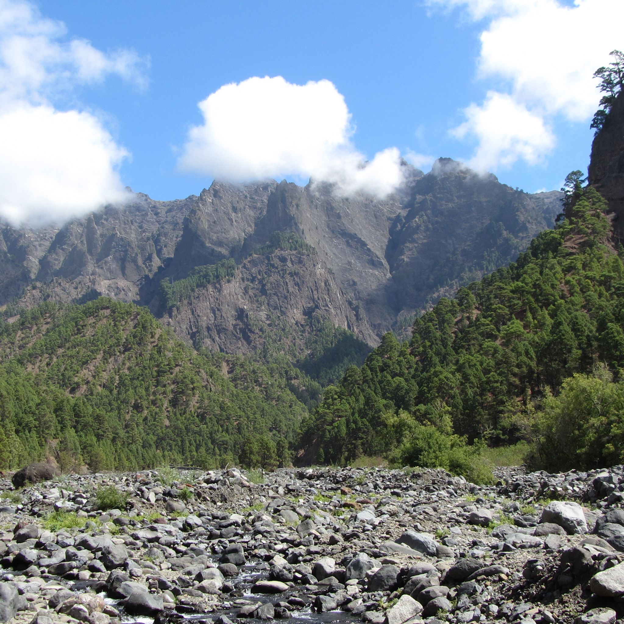
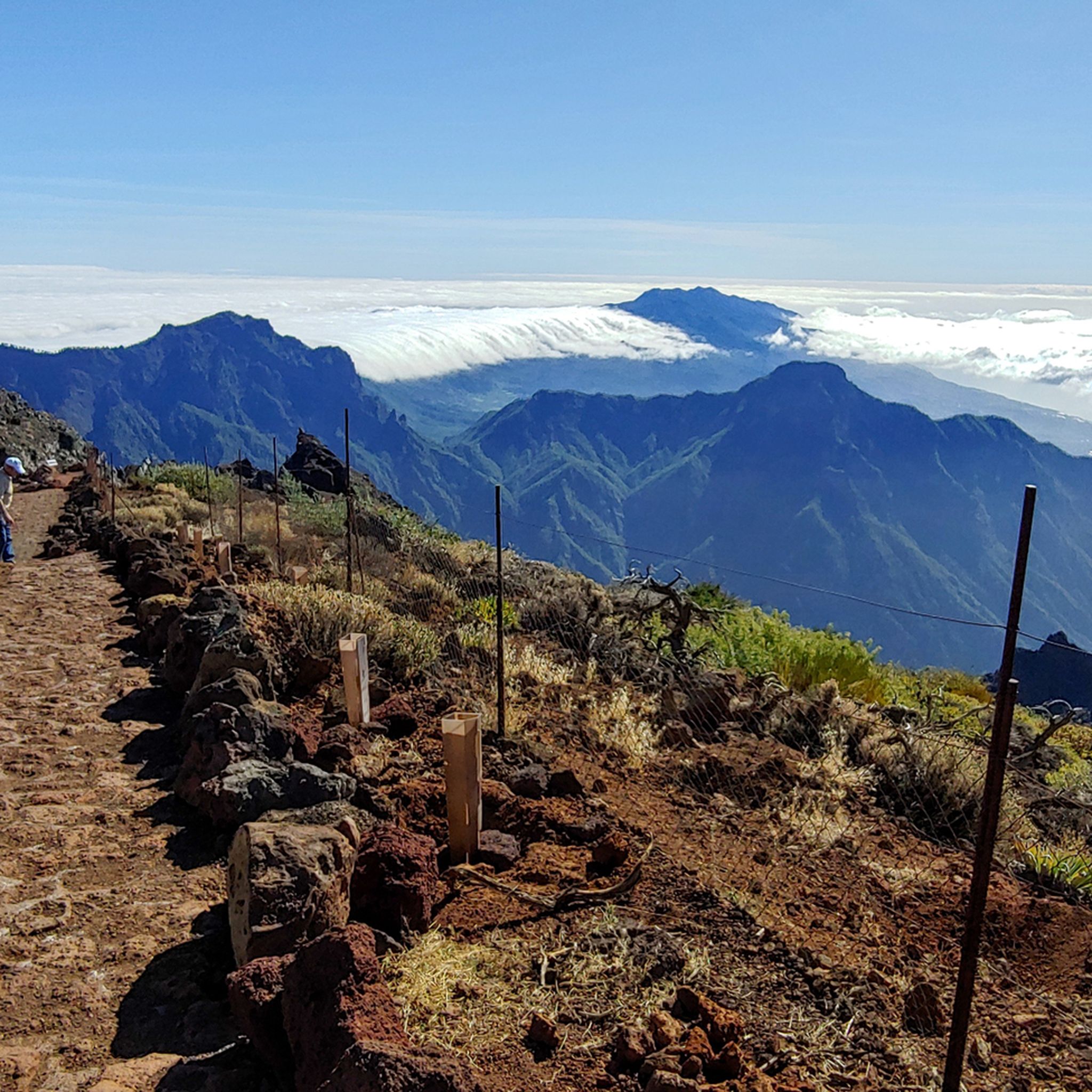
Mountaineering routes in La Palma traverse a diverse volcanic landscape, characterized by dramatic elevation changes, ancient laurisilva forests, and the vast Caldera de Taburiente. The island offers a range of challenging ascents and scenic paths through its rugged interior. These trails often provide panoramic views of the Atlantic Ocean and the island's unique geological formations.
Best mountaineering routes in La Palma
- The most popular mountaineering route is El Rodeo – Pico Bejenado loop from Start of Pico Bejenado hike, a 7.3 miles (11.7 km) trail that takes 5 hours 6 minutes to complete. This difficult route offers expansive views of the Caldera de Taburiente.
- Another top favourite among local mountaineers is Rocky Cliffs – Laurisilva Gorge Trail loop from Cubo de La Galga B, a moderate 5.3 miles (8.5 km) path. This trail combines dramatic coastal cliffs with sections through dense laurisilva forest.
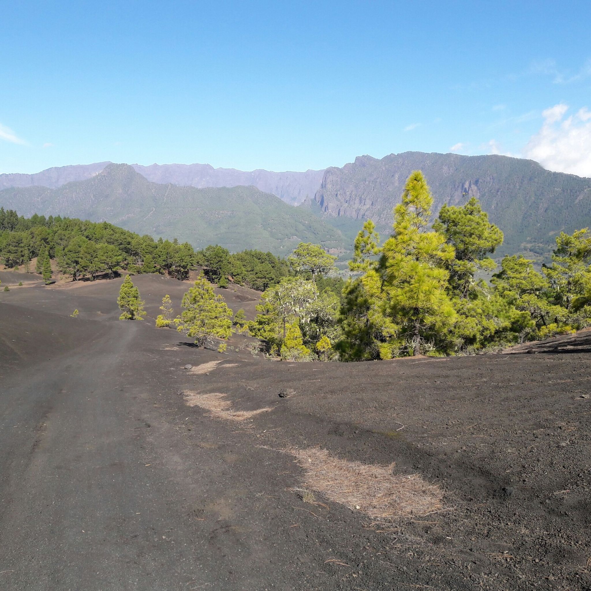
- Local mountaineers also love the Hoyo Negro Crater – Deseada Peak loop from Montaña de los Tomillos, a 9.0 miles (14.5 km) trail leading through volcanic craters and peaks, often completed in about 5 hours 46 minutes.
- Mountaineering in La Palma is defined by volcanic peaks, ancient laurisilva forests, and deep barrancos. The network offers options for various ability levels, from moderate forest paths to challenging ascents.
- The routes in La Palma are highly rated by the komoot community with an average score of 4.6 stars from more than 40 reviews. More than 200 mountaineers have used komoot to explore La Palma's varied terrain.
Last updated: October 5, 2026
4.5
(2)
18
hikers
14.5km
05:47
690m
690m
Hard mountaineering route. Very good fitness required. Mostly accessible paths. Sure-footedness required.
5.0
(1)
12
hikers
10.8km
04:15
780m
780m
Hard mountaineering route. Good fitness required. Sure-footedness, sturdy shoes and alpine experience required.

5.0
(3)
11
hikers
Moderate mountaineering route. Good fitness required. Easily-accessible paths. Suitable for all skill levels.
1
hikers
13.1km
04:50
830m
830m
Moderate mountaineering route. Good fitness required. Easily-accessible paths. Suitable for all skill levels.
8
hikers
Moderate mountaineering route. Great for any fitness level. Mostly accessible paths. Sure-footedness required.
Get access to more routes and recommendations from other explorers.
Already have an account?
Our route recommendations are based on thousands of hikes, rides, and runs completed by other people on komoot.
Start today with a free account
Your next adventure awaits.
Popular around La Palma
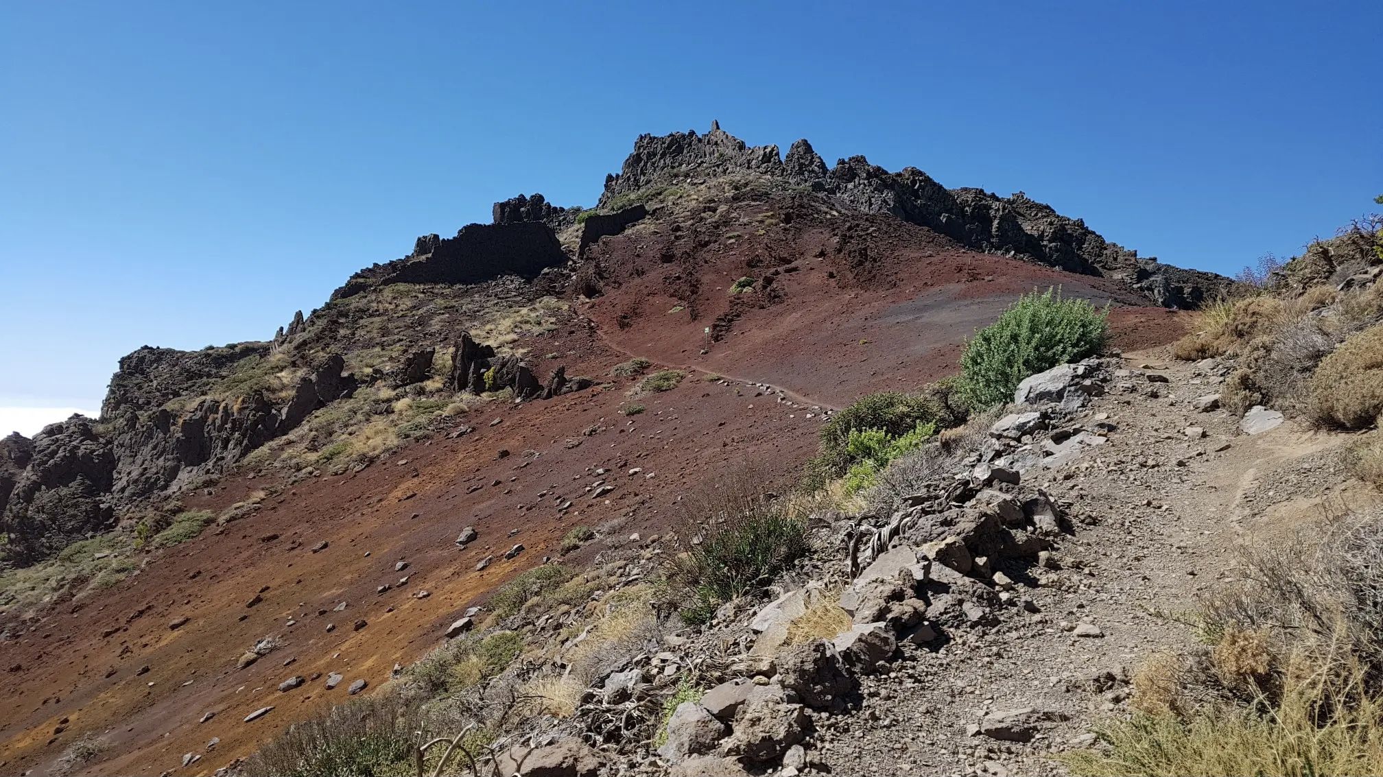
GR 131 El Bastón – La Palma in all its splendour

Trail on the Canary Islands – discover the legendary races!

La Palma, El Hierro y La Gomera – explore the Canaries’ Green Islands on foot
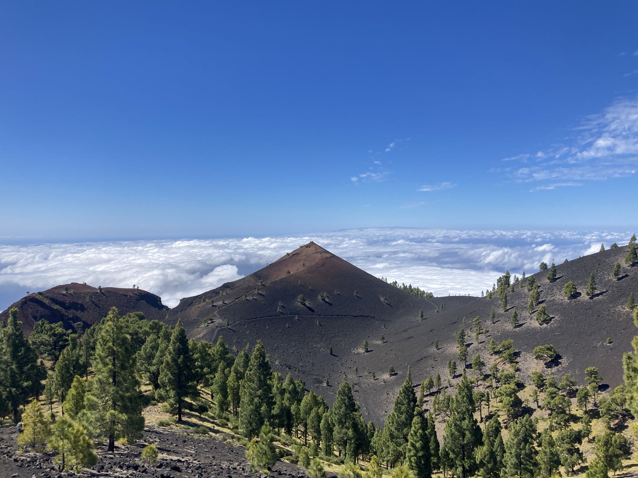
Transvulcania - traverse la Palma in the Canary Islands on the GR 131
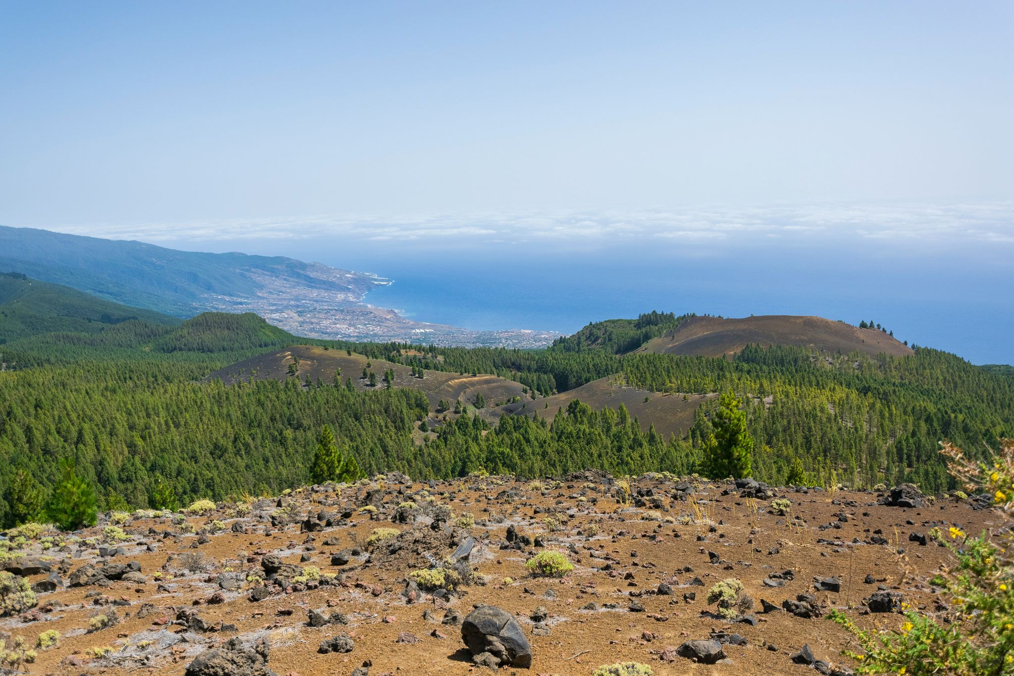
Around the beautiful island – La Palma Nature Trail (GR 130)
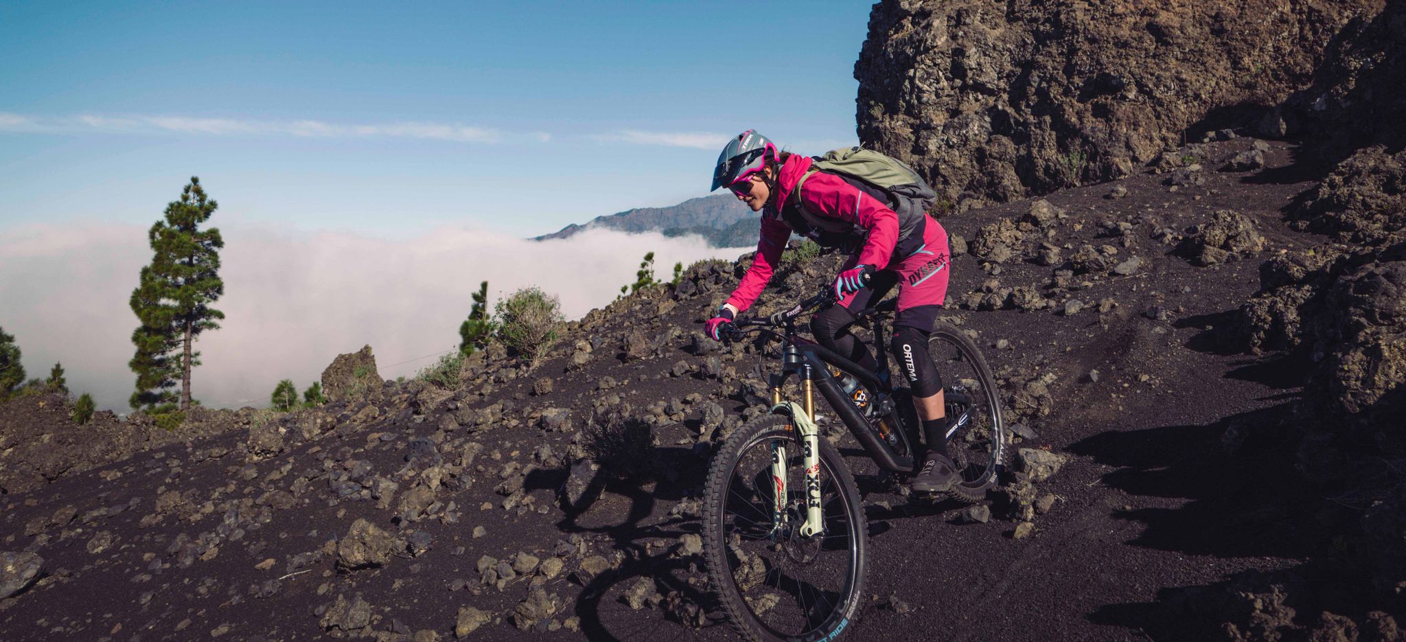
La Palma – my favourite Tours on the Canary Islands’ Isla Bonita
Hiking in La Palma
Running Trails in La Palma
MTB Trails in La Palma
Road Cycling Routes in La Palma
Other adventures in La Palma


Tips from the Community

The already established circular route through the saltworks shows salt production. It is really interesting. The salt obtained there could even be purchased on-site. A small café/restaurant is also there for a little something to eat/drink at the end.
0
0

This spectacular volcanic ridge offers, on either side of the trail, wide views of the Atlantic and the pine-covered slopes. Looking ahead, you can also admire the rugged relief of the ridge.
0
0

The highest peak on the volcano route, offering a magnificent panoramic view: of the caldera, Tenerife with Mount Teide, and the next volcanic craters along the route. Caution: it can be quite windy on the ascent.
0
0

Highest point of the Ruta de los Volcanos from El Pilar to Fuencaliente
0
0
This is an easy trail that offers a good view of the caldera of the vulcano.
0
0
From this viewpoint, the Ruta de los Vulcanos curves to the right of the Volcán Duráznero, but there is another trail that takes you straight over the top of this volcano and the next one, the Deseada.
0
0
Just after the start of the 17 km long Ruta de los Vulcanos from El Pilar to Fuencaliente, you will pass the only viewpoints of the Caldera de Taburiente.
0
0

Very beautiful church with palm trees in the forecourt.
1
0
Frequently Asked Questions
What is the general difficulty level of mountaineering routes in La Palma?
La Palma offers a diverse range of mountaineering routes. You'll find 17 moderate routes and 11 difficult routes, catering to various experience levels. There is also one easier route available for those seeking a less strenuous experience.
Are there any beginner-friendly mountaineering routes in La Palma?
Yes, while many routes are moderate to difficult, there is at least one easier mountaineering route available. For those new to mountaineering or looking for a gentler experience, consider exploring the island's extensive network of hiking trails which offer many accessible options.
Can I find challenging or advanced mountaineering trails in La Palma?
Absolutely. La Palma is known for its challenging terrain. There are 11 difficult mountaineering routes, such as the El Rodeo – Pico Bejenado loop from Start of Pico Bejenado hike, which features significant elevation changes and takes over 5 hours to complete. Another demanding option is the Hoyo Negro Crater – Deseada Peak loop from Montaña de los Tomillos, traversing volcanic craters and peaks.
Are there circular mountaineering routes available in La Palma?
Yes, many mountaineering routes in La Palma are designed as loops, allowing you to start and end at the same point. Examples include the El Rodeo – Pico Bejenado loop from Start of Pico Bejenado hike, the Rocky Cliffs – Laurisilva Gorge Trail loop from Cubo de La Galga B, and the Hoyo Negro Crater – Deseada Peak loop from Montaña de los Tomillos.
What kind of views can I expect along La Palma's mountaineering routes?
Mountaineering routes in La Palma offer spectacular and varied views. You can expect panoramic vistas of the Atlantic Ocean, the vast Caldera de Taburiente, dramatic volcanic landscapes with craters and peaks, and lush laurisilva forests. Routes like the Los Brecitos Viewpoint – Barranco de las Angustias loop from Caldera de Taburiente provide exceptional viewpoints.
What is the best time of year for mountaineering in La Palma?
La Palma generally enjoys a mild climate year-round, making mountaineering possible in most seasons. However, the best time is typically from spring to autumn (April to October) when the weather is most stable and temperatures are pleasant. Winter months can bring more rain and cooler temperatures, especially at higher altitudes, but still offer good conditions on many days.
Are there any permits required for mountaineering in La Palma?
For most general mountaineering routes in La Palma, permits are not required. However, certain areas within the Caldera de Taburiente National Park, particularly for specific access points or overnight stays, might require prior registration or permits. It's always advisable to check with the National Park visitor center for the latest regulations before embarking on a route in protected areas.
What are some interesting natural attractions or landmarks to see near the mountaineering routes?
La Palma's mountaineering routes often pass by or are close to fascinating natural attractions. You can explore impressive gorges like the Cubo de la Galga Gorge or the Las Angustias Gorge. There are also unique caves such as the Buracas Caves and the intriguing settlement of Porís de Candelaria carved into cliffs.
What do other mountaineers enjoy most about the routes in La Palma?
The mountaineering routes in La Palma are highly rated by the komoot community, with an average score of 4.6 stars from over 40 reviews. Mountaineers frequently praise the dramatic volcanic landscapes, the lush laurisilva forests, and the expansive views of the Atlantic Ocean and the Caldera de Taburiente. The variety of terrain and well-maintained paths are also often highlighted.
Are there any long-distance mountaineering options in La Palma?
While the listed routes are primarily day tours, La Palma offers longer trails that can be combined for multi-day mountaineering experiences. For example, the Los Brecitos Viewpoint – Barranco de las Angustias loop from Caldera de Taburiente is nearly 20 km long, providing a significant challenge. The island's GR (Gran Recorrido) trails also offer opportunities for extended mountaineering adventures.
Is it possible to access mountaineering trailheads using public transport in La Palma?
Public transport on La Palma, primarily buses (guaguas), connects many towns and villages. While some popular trailheads are accessible by bus, others, especially in more remote mountain areas, might require a taxi or private vehicle. It's recommended to check local bus schedules and route maps in advance, particularly if planning to use public transport for your mountaineering trip.
What should I be aware of regarding weather conditions when mountaineering in La Palma?
La Palma's weather can vary significantly between coastal areas and higher altitudes. While the coast might be sunny, the mountains can be cloudy, windy, or even rainy. Always check the mountain forecast before heading out, especially for routes within the Caldera de Taburiente or along the Cumbre Vieja ridge. Be prepared for sudden changes in weather, including temperature drops and increased wind, and carry appropriate layers.
Most popular routes in La Palma
Most popular attractions in La Palma

Get inspired with the komoot mobile app


Explore more
Browse the best Mountain Hikes & Routes in other regions.
