The best hikes from bus stations in West Lothian
4.6
(1663)
18,148
hikers
103
hikes
Bus station hiking trails in West Lothian offer access to a diverse landscape of rolling hills, river valleys, and extensive woodlands. The region features the Bathgate Hills, providing elevated viewpoints, and is traversed by rivers such as the Almond, which flows through several country parks. West Lothian's terrain includes a mix of rural farmland, tranquil lochs, and managed parklands, with elevations generally modest, featuring hills rather than mountains.
Best bus station hiking trails in West Lothian
- The most popular bus…
Last updated: August 20, 2026
4.7
(15)
80
hikers
11.4km
02:59
80m
80m
Moderate hike. Good fitness required. Easily-accessible paths. Suitable for all skill levels.
4.5
(2)
14
hikers
14.3km
03:43
90m
90m
Moderate hike. Good fitness required. Easily-accessible paths. Suitable for all skill levels.

Sign up for free
4.0
(2)
49
hikers
Easy hike. Great for any fitness level. Easily-accessible paths. Suitable for all skill levels.
5.0
(1)
35
hikers
Moderate hike. Good fitness required. Easily-accessible paths. Suitable for all skill levels.
29
hikers
Easy hike. Great for any fitness level. Easily-accessible paths. Suitable for all skill levels.
Get access to more routes and recommendations from other explorers.
Sign up for free
Already have an account?
Our route recommendations are based on thousands of hikes, rides, and runs completed by other people on komoot.
Start today with a free account
Your next adventure awaits.
Login or Signup
Popular around West Lothian

Hikes from bus stations around Lochcote Marsh

Hikes from bus stations around Harperrig Reservoir

Hikes from bus stations around Linlithgow Loch
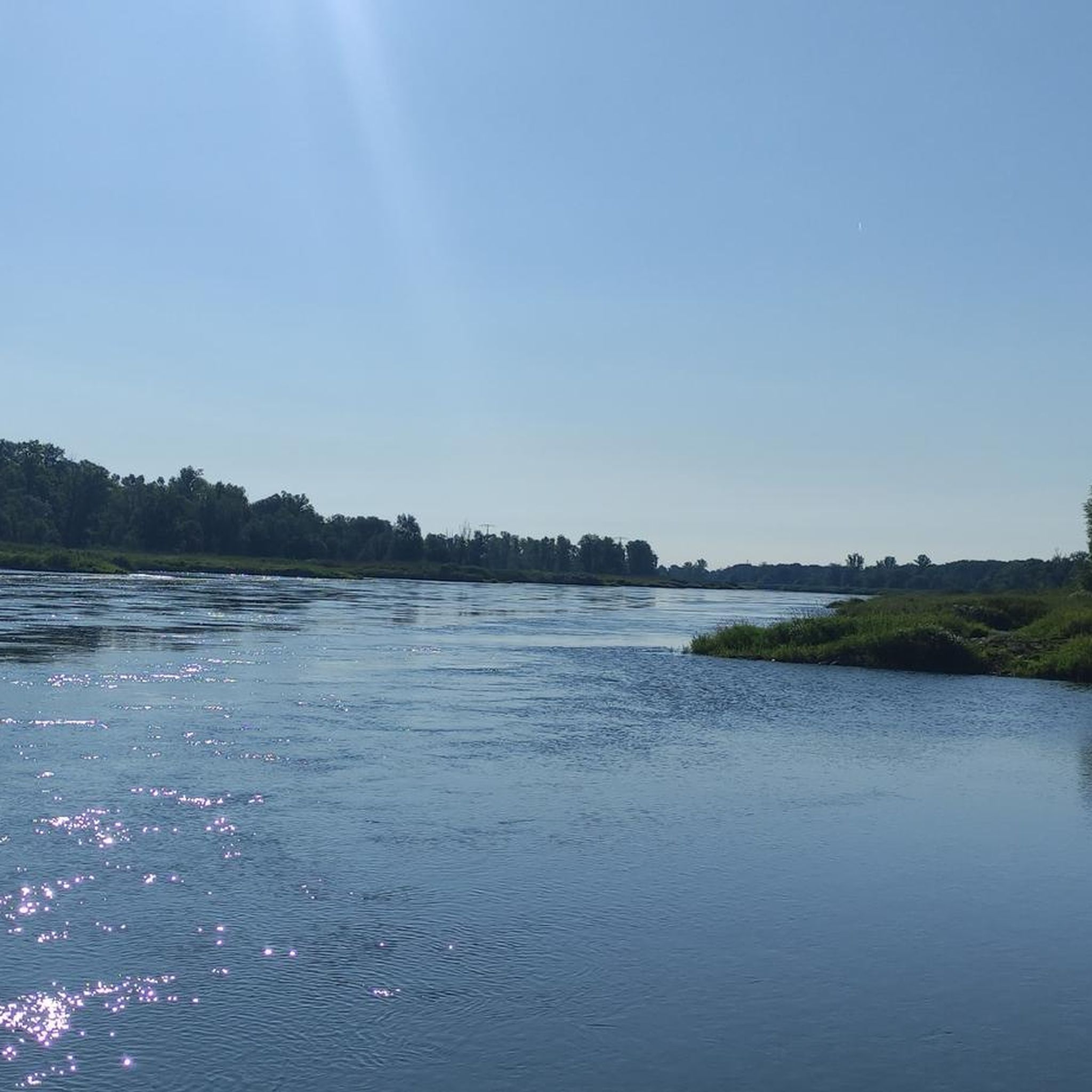
Hikes from bus stations around Calder Wood
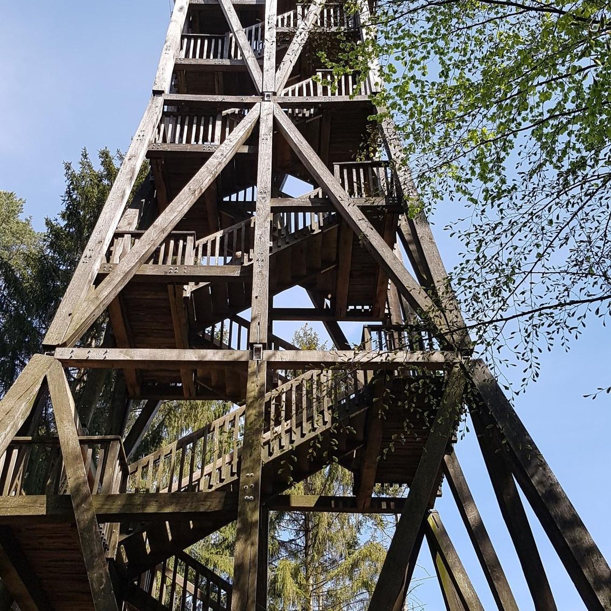
Hikes from bus stations around Blawhorn Moss National Nature Reserve
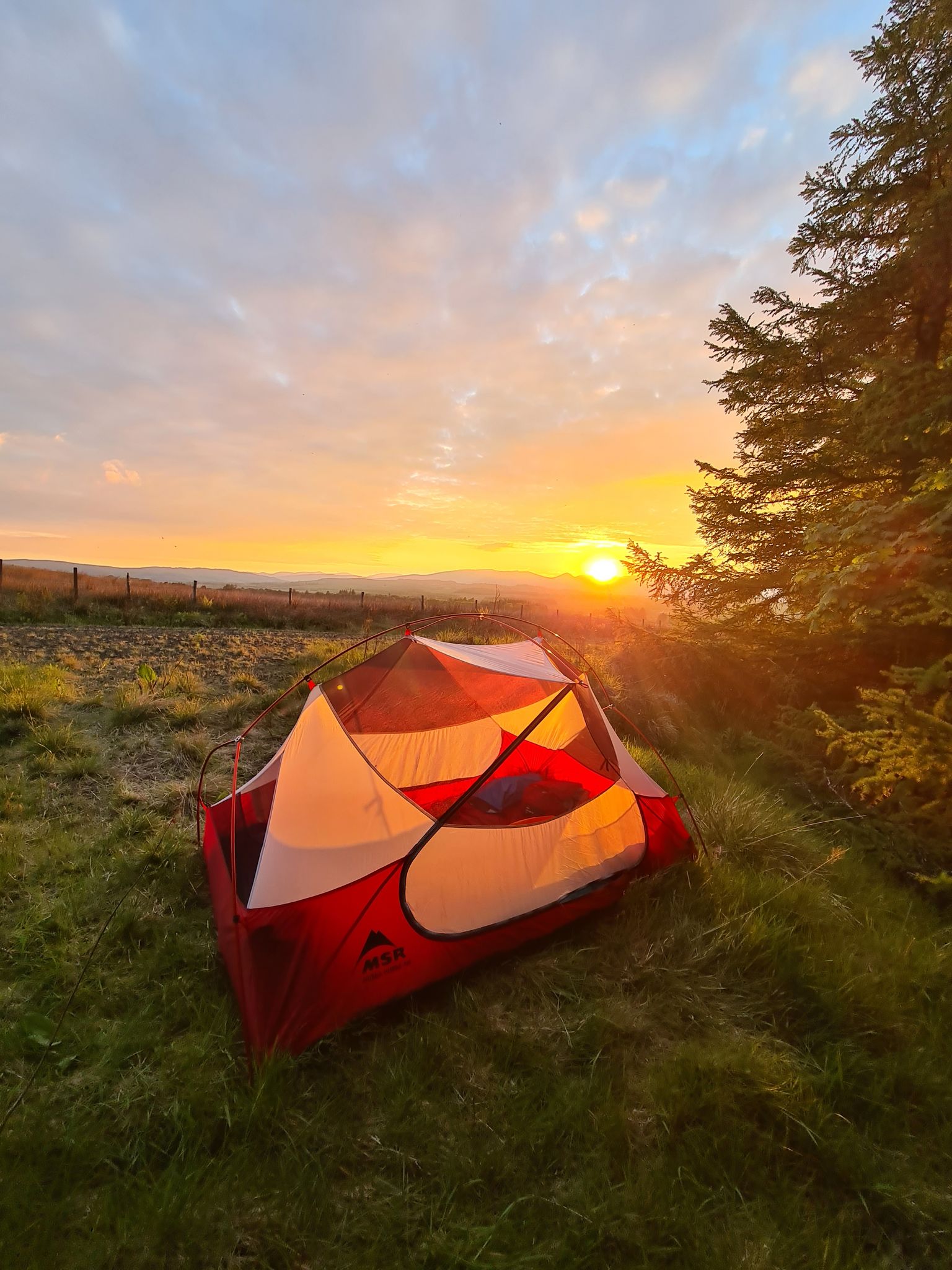
The John Muir Way — A conservationist's Scottish coast to coast
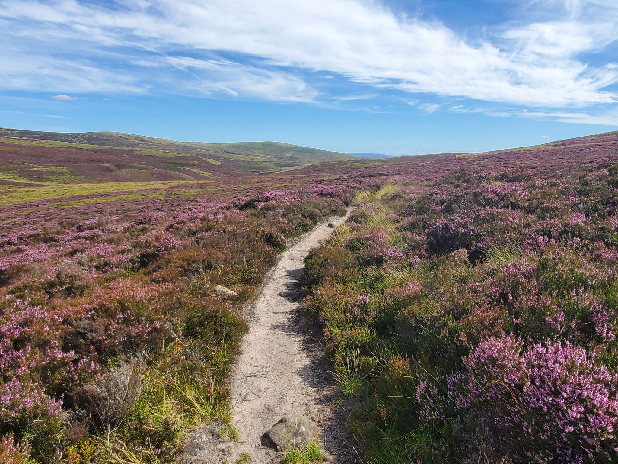
Hike in the footsteps of history – Cross Borders Drove Road

7 hikes in the lush landscapes of Scotland
Other adventures in West Lothian


Tips from the Community

Great place to walk and run - set in beautiful woodland.
0
0
Because it is in beautiful woodland countryside that is well worth a visit. And if you are a runner, I REALLY recommend the 10k Dechmont Law Run - and if that seems a bit long, there is also a 6.5k - tis fab!
0
0

Apparently regarded as one of the most important UFO encounters in the world…
0
0

Lin's Mill Aqueduct carries the Union Canal over the River Almond.
0
0

You need to walk the bike across here, but the view of the river below is wonderful. Inspiring and extraordinary infrastructure.
0
0

Be sure to dismount and walk across. Signage has graffiti covering it so it may not be clear.
0
0

This is our favourite MTB loops for a quick spin from our factory gates - perfect for a lunchtime blast using Livingston's amazing off-road paths and a couple of cheeky bits of singletrack either side of the main Edinburgh to Glasgow motorway. Look out for UFO landing site memorial stone and take a trip up Dechmont Law for great views across town to the Pentlands.
0
0
Frequently Asked Questions
How many bus station hiking trails are available in West Lothian?
There are over 100 hiking trails in West Lothian that are easily accessible from bus stations, offering a wide variety of distances and difficulties. This guide focuses specifically on these public transport-friendly routes.
What kind of terrain can I expect on bus-accessible hikes in West Lothian?
West Lothian's bus-accessible trails offer diverse terrain, from gentle riverside paths along the River Almond and the Union Canal to more undulating routes through the Bathgate Hills. You'll find a mix of woodlands, open farmland, and paths leading to scenic viewpoints.
Are there easy, family-friendly hikes accessible by bus in West Lothian?
Yes, West Lothian has numerous easy, family-friendly hikes accessible by bus. Many routes within country parks like Almondell and Calderwood Country Park offer well-maintained paths suitable for all ages. An example is the short Naysmyth Bridge – Almondell Country Park loop from East Calder.
Can I find more challenging routes from bus stations in West Lothian?
While West Lothian is known for its accessible trails, you can find moderate challenges, particularly in areas like the Bathgate Hills. These routes might involve more elevation gain and longer distances, offering rewarding views. The Camps Viaduct – Almondell Country Park loop from East Calder is a good example of a moderate route.
What do other hikers say about the bus-accessible trails in West Lothian?
The bus-accessible trails in West Lothian are highly rated by the komoot community, with an average score of 4.6 stars. Reviewers often praise the convenience of public transport access, the beautiful natural scenery, and the well-maintained paths suitable for various fitness levels.
Are there bus-accessible routes with good viewpoints in West Lothian?
Absolutely. Several bus-accessible routes lead to excellent viewpoints. For instance, trails around Cockleroy Hill near Linlithgow or Dechmont Law in Livingston offer panoramic vistas. The Dechmont Law Summit – Livingston Incident Memorial loop from Livingston North is a great option for views.
Can I find bus-accessible hikes that pass by historical landmarks?
Yes, West Lothian is rich in history. Many bus-accessible routes incorporate historical sites. You can find walks that pass by the impressive ruins of Linlithgow Palace, sections of the historic Union Canal, or even the Almond Aqueduct. The Shale Trail also offers a unique historical walking experience.
Are the bus-accessible hiking trails in West Lothian suitable for dogs?
Many of West Lothian's bus-accessible trails are dog-friendly, especially those in country parks and along the Union Canal towpath. Always keep dogs under control, particularly near livestock or in designated wildlife areas, and check specific park rules before you go.
Are there circular bus-accessible hiking routes in West Lothian?
Yes, many of the bus-accessible routes in West Lothian are designed as circular walks, allowing you to start and end your hike at the same bus stop without needing to retrace your steps. This is particularly convenient for public transport users.
What natural features can I explore on bus-accessible hikes?
West Lothian's bus-accessible hikes allow you to explore a variety of natural features, including the tranquil Linlithgow Loch, the winding River Almond, and the diverse woodlands of country parks like Almondell and Calderwood. You can also reach viewpoints like Cockleroy Hill Summit.
Are there bus-accessible walks that explore West Lothian's country parks?
Absolutely. West Lothian boasts several excellent country parks, many of which are well-served by bus routes. Almondell and Calderwood Country Park, Beecraigs Country Park, and Polkemmet Country Park all offer extensive networks of trails, making them ideal for bus-accessible adventures. For more information on Polkemmet Country Park, you can visit westlothian.gov.uk.
Can I find bus-accessible hikes near cafes or pubs for refreshments?
Yes, many bus-accessible routes in West Lothian pass through or near towns and villages where you can find cafes and pubs. For example, walks around Linlithgow Loch offer options like the Linlithgow Canal Centre and Tea Room, perfect for a break.
Most popular routes in West Lothian
Most popular attractions in West Lothian

Get inspired with the komoot mobile app


Didn’t find what you were looking for?
Check out more Hikes throughout West Lothian below and find the perfect route in your destination.
Explore more
Browse the best Hikes in other regions.
