Sierra Azul Open Space Preserve (Closed Areas)
Sierra Azul Open Space Preserve (Closed Areas)
The best traffic-free bike rides in Sierra Azul Open Space Preserve (Closed Areas)
4.8
(104)
3,398
riders
23
rides
Road cycling in Sierra Azul Open Space Preserve (Closed Areas) offers challenging routes through varied terrain, including significant elevation changes and panoramic views. The preserve spans over 19,000 acres, featuring serpentine grasslands, chaparral, oak woodlands, and riparian corridors. Cyclists navigate well-paved roads that ascend prominent peaks like Mount Umunhum, providing extensive vistas of the Santa Clara Valley. The landscape is characterized by its diverse ecosystems and mountainous topography, making it suitable for strenuous road cycling.
Best no traffic road cycling routes in Sierra Azul Open Space Preserve (Closed Areas)
- The most popular no traffic road cycling route is Roadbike loop from Lexington Reservoir County Park, a 17.1 miles (27.6 km) trail that takes 1 hour 36 minutes to complete. This route features a moderate climb with views of the reservoir.
- Another top favourite among local road cyclists is Top of Eureka Canyon – Old Santa Cruz Highway loop from Lexington Reservoir County Park, a difficult 43.9 miles (70.7 km) path. This route includes substantial elevation gain through forested areas and open ridgelines.
- Local road cyclists also love the Old Santa Cruz Highway – Top of Eureka Canyon loop from Lexington Reservoir County Park, a 52.5 miles (84.5 km) trail leading through mountainous terrain and dense woodlands, often completed in about 4 hours 41 minutes.
- Road cycling in Sierra Azul Open Space Preserve (Closed Areas) is defined by mountainous climbs, diverse woodlands, and expansive valley views. The network offers options for different ability levels, from moderate loops to difficult, long-distance routes.
- The routes in Sierra Azul Open Space Preserve (Closed Areas) are highly rated by the komoot community with an average score of 4.6 stars from more than 100 reviews. More than 3,300 road cyclists have used komoot to explore Sierra Azul Open Space Preserve (Closed Areas)'s varied terrain.
Last updated: July 10, 2026
10
riders
70.7km
04:02
1,440m
1,440m
Hard road ride. Very good fitness required. Mostly well-paved surfaces and easy to ride.
5
riders
84.5km
04:42
1,430m
1,430m
Hard road ride. Very good fitness required. Mostly well-paved surfaces and easy to ride.

Sign up for free
9
riders
35.0km
02:09
630m
630m
The Eureka Canyon – Top of Eureka Canyon loop from Santa Rosalia Mountain offers a classic Santa Cruz Mountains road cycling experience. You'll climb through serene redwood forests, enjoying the quiet as you ascend, with views eventually opening up to rolling hills and distant coastal glimpses. The route follows a sweet little creek in its lower sections, transitioning to oak woods higher up, providing a diverse and immersive natural journey.
This moderate 21.7-mile (35.0 km) ride involves a substantial 2054 feet (626 metres) of elevation gain, typically taking around 2 hours and 9 minutes. Be prepared for varied road surfaces on Eureka Canyon Road, which can be rough with potholes in places. While the route name mentions Santa Rosalia Mountain, the viewpoint itself is generally on unpaved fire roads, so stick to the main paved loop for road cycling.
This loop is a staple for local cyclists, known for its challenging yet rewarding profile. It's considered one of the most epic road bike climbs in the region, offering a long, mellow-to-moderate ascent followed by rolling sections and a highly regarded descent on well-maintained roads. The remote feel and diverse scenery make it a memorable ride for those seeking a true test of their climbing legs.
11
riders
39.2km
02:14
880m
890m
Moderate road ride. Good fitness required. Mostly well-paved surfaces and easy to ride.
5.0
(6)
68
riders
Moderate road ride. Good fitness required. Some segments of this route may be unpaved and difficult to ride.
Get access to more routes and recommendations from other explorers.
Sign up for free
Already have an account?
Our route recommendations are based on thousands of hikes, rides, and runs completed by other people on komoot.
Start today with a free account
Your next adventure awaits.
Login or Signup
Popular around Sierra Azul Open Space Preserve (Closed Areas)
Tips from the Community

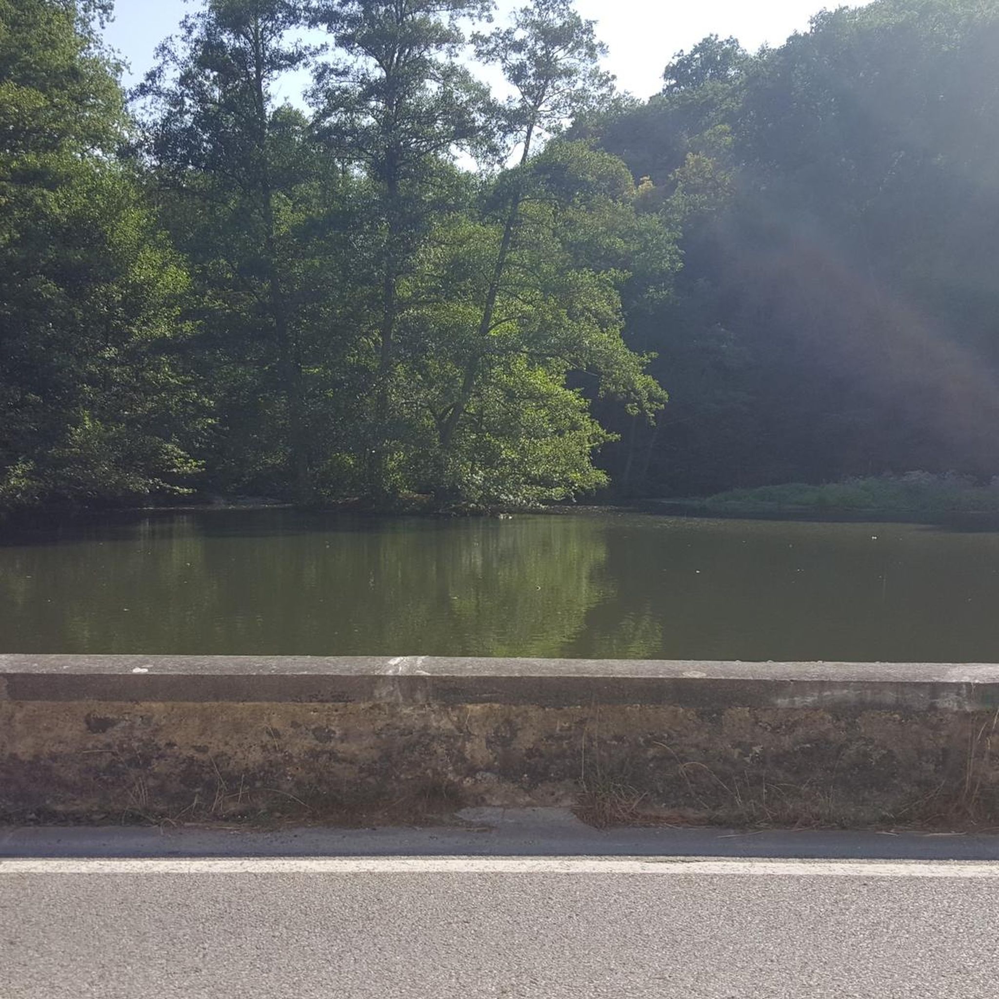
A scenic stop just off the winding roads of the Santa Cruz Mountains, Lexington Reservoir County Park is a great spot to catch your breath and enjoy the view. The smooth pavement along Alma Bridge Road makes it a popular stretch for cyclists, with rolling terrain and minimal traffic. There's parking, restrooms, and shaded areas if you need a break. From here, you can loop toward Los Gatos or push deeper into the climbs of Highway 17 and Old Santa Cruz Highway.
0
0

Guadalupe Creek flows eastward from San Bruno Mountain in San Mateo County, passing through San Bruno Mountain State and County Park and Brisbane before reaching Brisbane Lagoon, a remnant of San Francisco Bay. The area is home to endangered butterflies and the San Francisco garter snake. The creek can be seen from Hicks Road, and it winds along the side of the road.
1
0

If you're in Santa Cruz, Regale Vineyards is a must-visit. Nestled in the Santa Cruz Mountains, it offers more than just great wine – the views are incredible. Whether you're enjoying a tasting on the patio or strolling through the vineyards, you’ll be surrounded by lush greenery and towering redwoods. It’s a peaceful spot to relax and soak in the beauty of the area. Plus, the wines are fantastic, showcasing the best of the region.
0
0

An excellent spot to take a break and enjoy the full breath of Lexington Reservoir. There is a Plaque dedicated to deputy Douglas B. Miller, who was fatally wounded while performing his duties.
0
0
The Almaden Quicksilver Mining Museum is in the historic 1854 Casa Grande manor. The museum gives visitors a glimpse into the history of mercury (also known as quicksilver) mining and the role it played in the California Gold Rush. Visitors can explore exhibits of 19th-century mining photos, a mine tunnel diorama, and artifacts from mining families. The museum is open Friday through Sunday from 12:00 to 4:00 PM, with a suggested $2 donation for admission, and the museum grounds are open daily from 8:00 AM to sunset.
2
0


Hicks Road winds around Guadalupe Reservoir. Here, you can see some of the best views of the lake. Please be cautious of cars.
0
0

Hard on the climb, but a wonderful route through a peaceful forest.
0
0
Frequently Asked Questions
How many no-traffic road cycling routes are available in Sierra Azul Open Space Preserve?
There are over 20 dedicated no-traffic road cycling routes in Sierra Azul Open Space Preserve. These routes offer a variety of challenges, from easy rides to difficult climbs, ensuring options for different fitness levels.
What are the difficulty levels of road cycling routes in Sierra Azul Open Space Preserve?
The routes in Sierra Azul Open Space Preserve cater to various skill levels. You'll find 10 easy routes, 7 moderate routes, and 7 challenging routes, many of which involve significant elevation gains. For example, the Shannon Road (climb) – Blossom Hill - Shannon Road loop is an easy option, while the Top of Eureka Canyon – Old Santa Cruz Highway loop presents a difficult challenge.
Are there any family-friendly or beginner-friendly no-traffic road cycling routes?
Yes, Sierra Azul Open Space Preserve offers 10 easy-rated routes suitable for beginners or family outings. These routes typically feature less elevation gain and shorter distances, providing a pleasant introduction to road cycling in the preserve. An example is the Shannon Road (climb) – Blossom Hill - Shannon Road loop from Dartmouth Middle School, which is just over 16 km with minimal climbing.
What are some challenging road bike climbs in Sierra Azul Open Space Preserve?
For experienced road cyclists seeking a challenge, Sierra Azul offers routes with substantial climbs. Notable ascents include Mount Umunhum Road, known for its steep grades and panoramic views, and the Hicks Road Climb. Routes like the Old Santa Cruz Highway – Top of Eureka Canyon loop can involve over 1,400 meters of elevation gain.
What can I see along the no-traffic road cycling routes in Sierra Azul Open Space Preserve?
Along your rides, you can experience diverse landscapes from serpentine grasslands to oak woodlands. Key attractions include the iconic Mount Umunhum Road (climb), which leads to spectacular 360-degree views, and the serene Guadalupe Reservoir. The preserve also features the historic radar tower atop Mount Umunhum, a remnant of the Cold War era.
Are there any circular road bike routes with minimal traffic?
Yes, many of the routes in Sierra Azul Open Space Preserve are designed as loops with minimal traffic. For example, the Roadbike loop from Lexington Reservoir County Park offers a moderate 27.5 km ride, while the Mountain Charlie Road – Mountain Charlie Rd loop from Redwood Estates provides a 39 km moderate option, both designed to keep you away from heavy vehicle traffic.
What do other road cyclists enjoy most about cycling in Sierra Azul Open Space Preserve?
The komoot community highly rates road cycling in Sierra Azul Open Space Preserve, with an average score of 4.64 stars from 113 ratings. Reviewers often praise the challenging climbs, the rewarding panoramic views from peaks like Mount Umunhum, and the diverse natural beauty of the preserve, especially the feeling of being immersed in nature away from traffic.
What is the best season for road biking in Sierra Azul Open Space Preserve?
While road cycling is possible year-round, spring and fall generally offer the most pleasant conditions with milder temperatures. Summers can be hot, especially on exposed climbs, so early morning rides are recommended. Winters are usually mild, but some routes might be affected by rain, making trail conditions important to check.
Where can I find parking and access points for road biking in the preserve?
Access points for road cycling routes often start from locations like Lexington Reservoir County Park or Redwood Estates. These areas typically provide parking facilities. Always check specific route details on komoot for the most accurate starting points and parking information.
What kind of wildlife might I encounter while cycling in Sierra Azul Open Space Preserve?
Sierra Azul Open Space Preserve is home to abundant wildlife due to its diverse habitats. While cycling, you might spot various bird species, deer, and smaller mammals. The preserve is also known to have mountain lions, so it's always wise to be aware of your surroundings, especially during dawn or dusk.
Are there any specific rules or permits required for road cycling in Sierra Azul Open Space Preserve?
Generally, no specific permits are required for road cycling on designated trails and roads within Sierra Azul Open Space Preserve. However, it's always recommended to check the Midpeninsula Regional Open Space District's official website for the latest regulations and any specific rules regarding bike access, especially concerning multi-use trails like the Kennedy Trail.
Most popular routes in Sierra Azul Open Space Preserve (Closed Areas)
Most popular attractions in Sierra Azul Open Space Preserve (Closed Areas)

Get inspired with the komoot mobile app


Explore more
Browse the best Road cycling routes in other regions.
