Sierra Azul Open Space Preserve (Closed Areas)
Sierra Azul Open Space Preserve (Closed Areas)
The best running trails in Sierra Azul Open Space Preserve (Closed Areas)
4.7
(15)
2,227
runners
140
runs
Jogging in Sierra Azul Open Space Preserve (Closed Areas) offers diverse terrain across its accessible areas, encompassing over 19,000 acres in the Santa Cruz Mountains. The preserve features varied elevations, from approximately 700 feet near Lexington Reservoir to the 3,486-foot peak of Mount Umunhum, providing opportunities for challenging hill workouts. Joggers will encounter a rich tapestry of habitats, including serpentine grasslands, chaparral, and shaded oak woodlands, with many routes offering panoramic views of the Santa Clara Valley. The trail network…
Last updated: August 31, 2026
7
runners
12.3km
01:51
600m
600m
Hard run. Very good fitness required. Mostly paved surfaces. Suitable for all skill levels.
5.71km
00:58
400m
400m
Hard run. Very good fitness required. Mostly paved surfaces. Suitable for all skill levels.

Sign up for free
3.37km
00:25
90m
90m
Easy run. Great for any fitness level. Mostly paved surfaces. Suitable for all skill levels.
17.0km
02:03
690m
690m
Hard run. Very good fitness required. Mostly paved surfaces. Suitable for all skill levels.
9
runners
5.16km
00:39
180m
180m
Moderate run. Good fitness required. Mostly paved surfaces. Suitable for all skill levels.
Get access to more routes and recommendations from other explorers.
Sign up for free
Already have an account?
Our route recommendations are based on thousands of hikes, rides, and runs completed by other people on komoot.
Start today with a free account
Your next adventure awaits.
Login or Signup
Popular around Sierra Azul Open Space Preserve (Closed Areas)
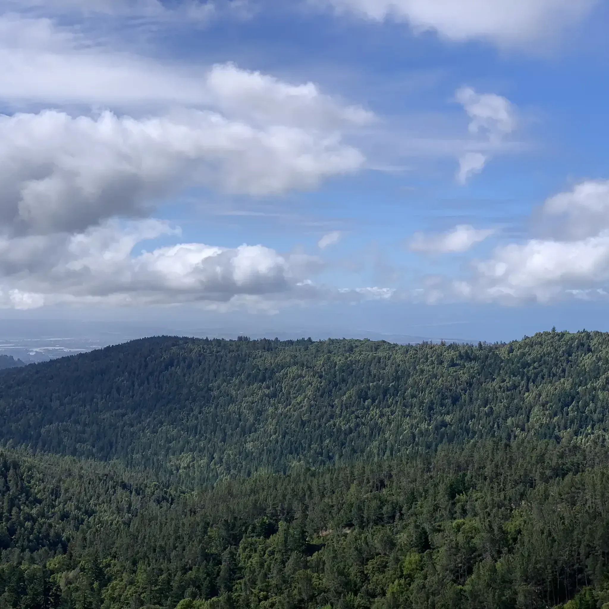
Hiking in Sierra Azul Open Space Preserve (Closed Areas)
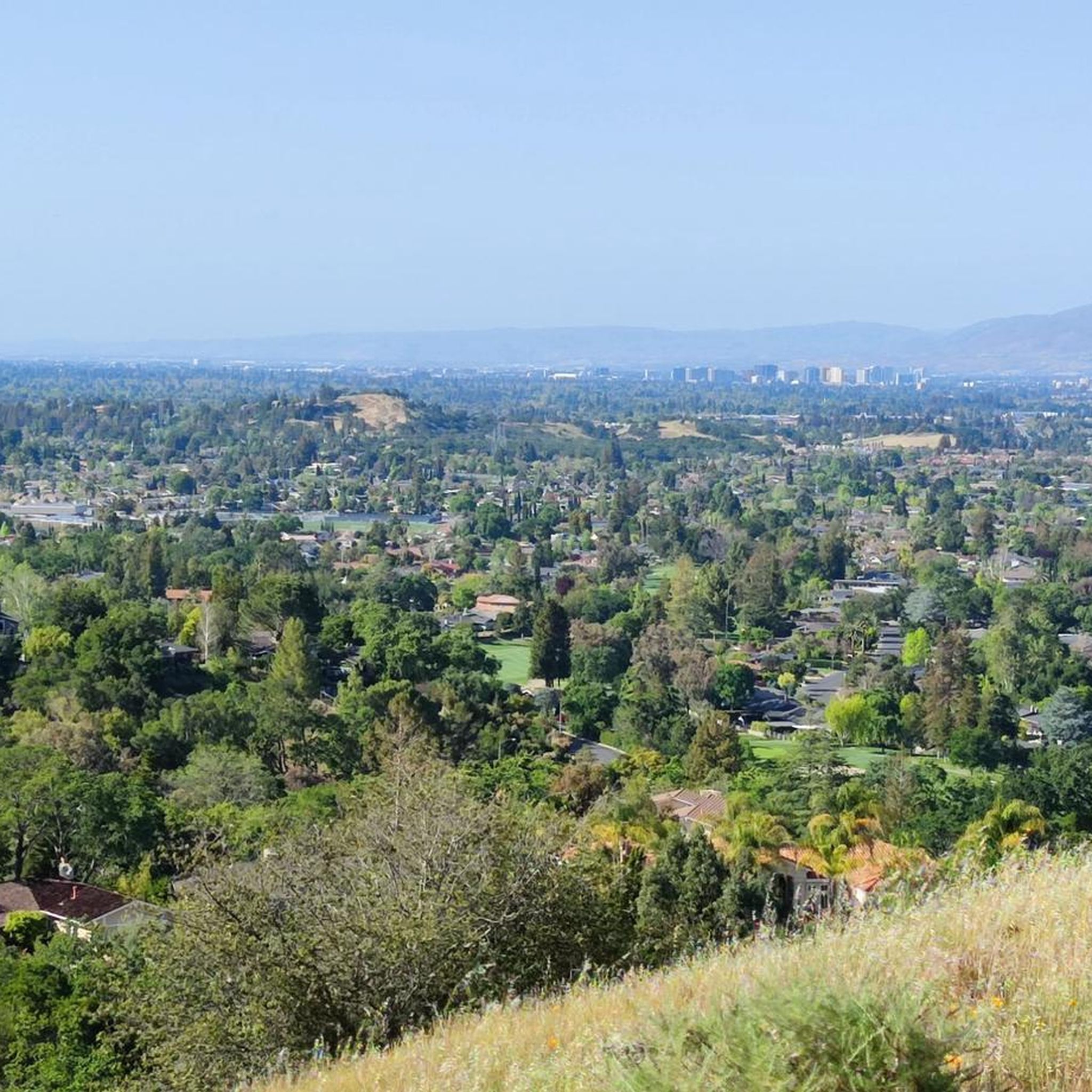
MTB Trails in Sierra Azul Open Space Preserve (Closed Areas)
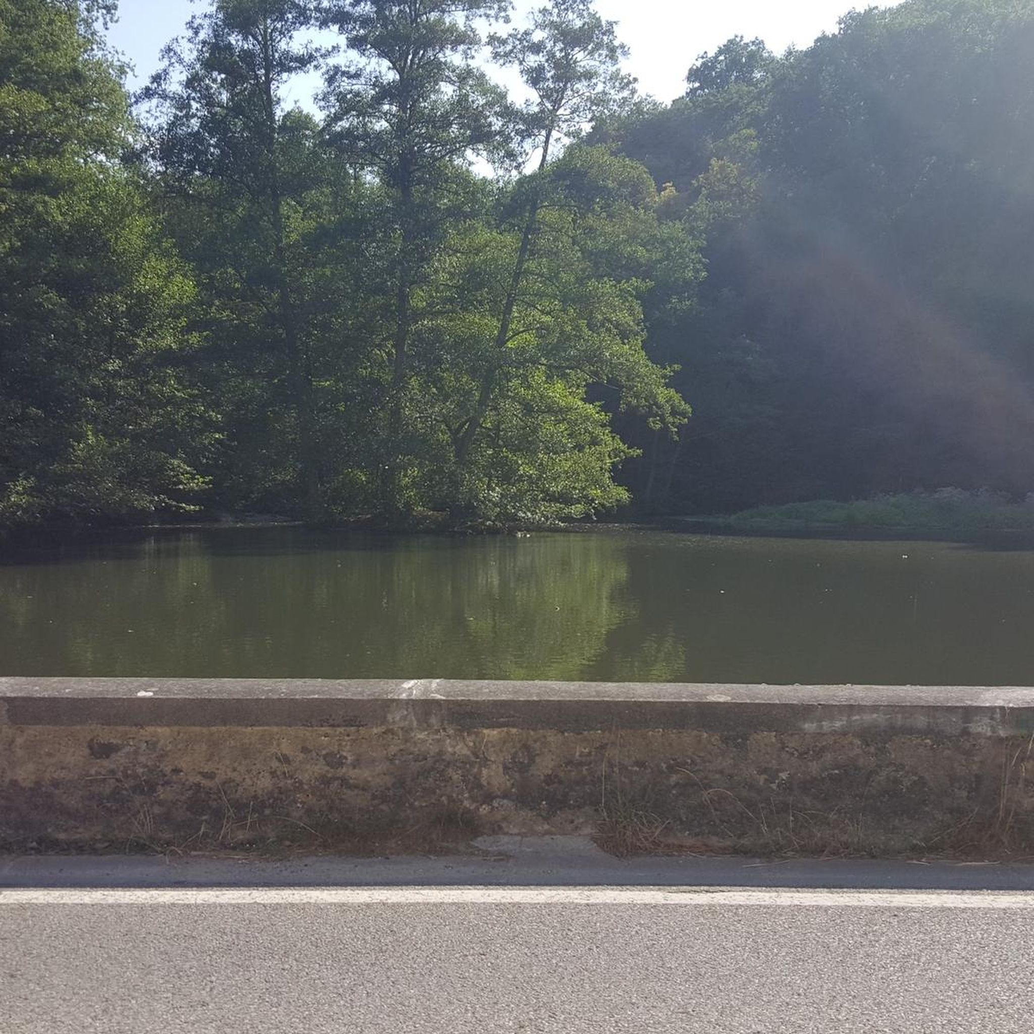
Gravel biking in Sierra Azul Open Space Preserve (Closed Areas)
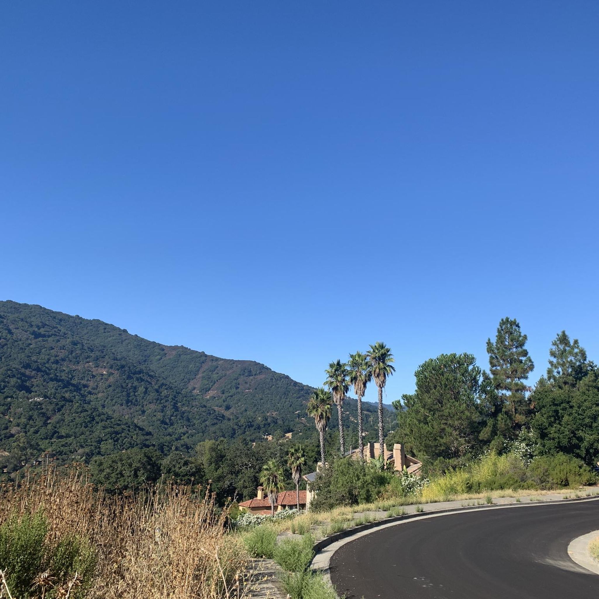
Road Cycling Routes in Sierra Azul Open Space Preserve (Closed Areas)
Cycling in Sierra Azul Open Space Preserve (Closed Areas)
Tips from the Community

The Priest Rock Trail in Los Gatos offers runners a tough but rewarding challenge with steep climbs and stunning views of the Santa Clara Valley. Its mix of shaded sections and open ridges provides variety, making it ideal for hill training. Start early to beat the heat and enjoy quieter trails.
0
0

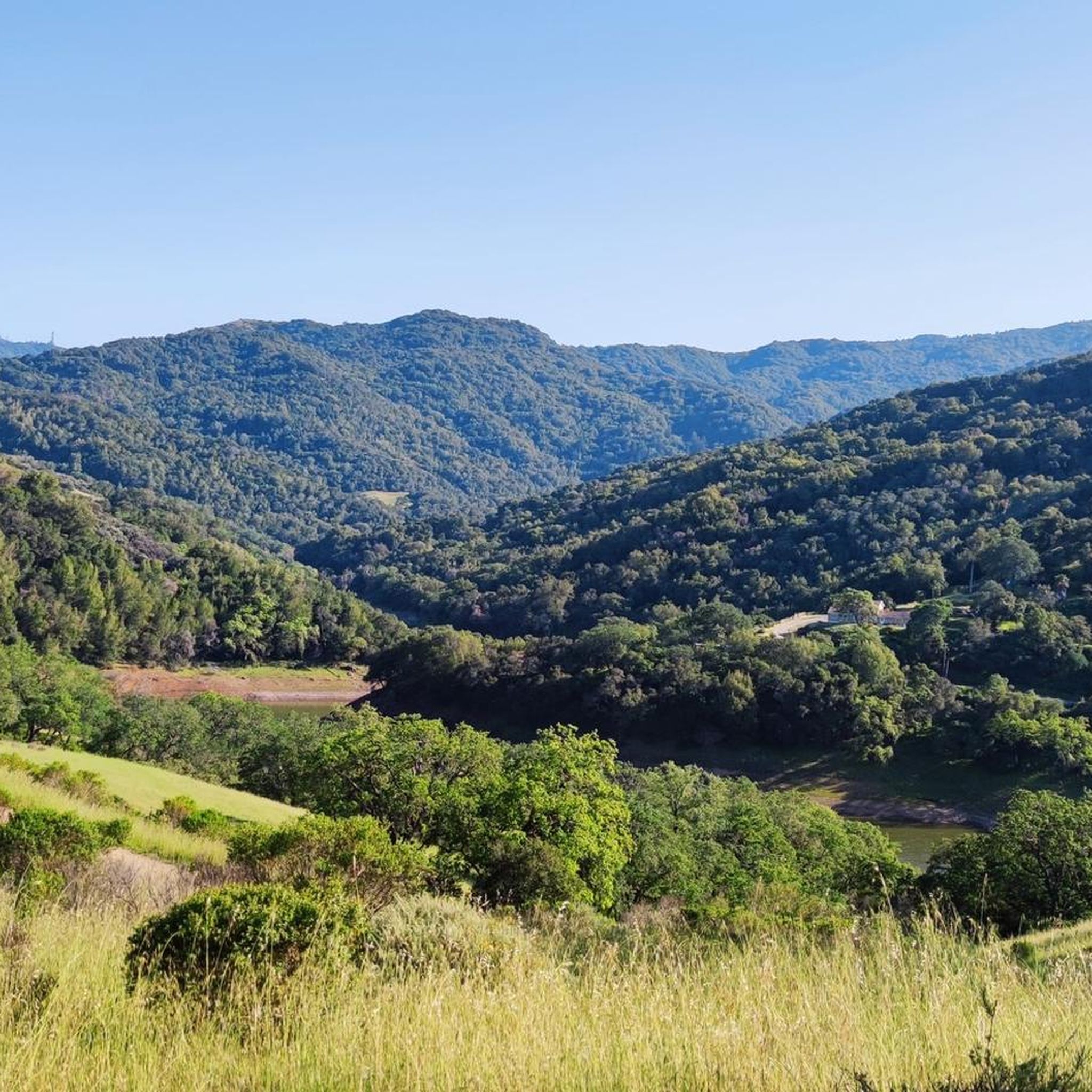
Ascending just a few hundred feet along Priestrock Trail toward Sierra Azul Open Space reveals expansive vistas overlooking the tranquil, turquoise-blue waters of Lexington Reservoir.
0
0

Oak Ridge Trail is an uphill (or downhill) segment that is entirely exposed, but leads up to a spot with a great view of the city. From this trail you can circle back down the hill or continue on the trails into the Santa Rosa Open Space.
0
0
Soda Springs Road is a fun twisty road with plenty of shade, multiple overlooks, and a nice uphill workout! The road is an out-and-back sort of deal since the top is private property despite it looking like it connects to Mount Thayer.
0
0
At the top of Loma Prieta Way, there is an overlook that allows you to see the Soquel Canyon State Marine Conservation Area on a clear day.
0
0

The summit of Saint Josephs Hill offers views of Los Gatos Creek valley into Silicon Valley and of the Lexington Reservoir. A couple benches and a fence mark the summit of the hill and serve as a good spot for a break while you take in the view.
0
0

Even just climbing a few hundred feet up on Priestrock Trail toward Sierra Azul Open Space opens generous views over turquoise-blue Lexington reservoir
0
0
Frequently Asked Questions
How many running routes are available in Sierra Azul Open Space Preserve?
There are over 130 running routes available in the accessible areas of Sierra Azul Open Space Preserve. These routes cater to various fitness levels, from easy loops to challenging ascents, offering diverse terrain and scenic views.
What kind of terrain can I expect on the jogging trails in Sierra Azul Open Space Preserve?
Joggers will encounter a wide variety of terrain, including dirt roads, some moderate to very steep, and singletrack trails. The preserve features serpentine grasslands, rocky chaparral, dense bay tree stands, shaded oak woodlands, and riparian corridors, providing a rich and varied running experience.
Are there any easy running routes for beginners or those looking for a less strenuous jog?
Yes, Sierra Azul Open Space Preserve offers several easy running routes. One popular option is the Rocky Ridge and Oak Ridge Trail Loop, which is about 2.1 miles (3.3 km) long and leads through pleasant oak woodland and open ridges.
What are some of the more challenging running trails for experienced runners?
For experienced runners seeking a challenge, routes like the Bay Area Ridge Trail: Priest Rock to Kennedy Knob offer significant elevation gain over 7.7 miles (12.3 km). Another demanding option is the Mount El Sombroso loop from Lexington Reservoir County Park, a 12.7-mile (20.3 km) path with a substantial climb and diverse scenery.
What kind of views can I expect while running in Sierra Azul Open Space Preserve?
The preserve is renowned for its expansive vistas. From various points, especially higher elevations like Mount Umunhum, runners are rewarded with panoramic views of the Santa Clara Valley, Lexington Reservoir, the town of Los Gatos, and the surrounding ridgelines and peaks of the Bay Area.
Are there any specific landmarks or points of interest along the running routes?
Yes, several points of interest enhance the running experience. You might encounter the challenging Mount Umunhum Road climb, or pass by Guadalupe Reservoir. The Kennedy Trail itself is a notable feature, offering varied terrain.
Are dogs allowed on the running trails in Sierra Azul Open Space Preserve?
While the guide does not specify dog-friendly trails, many open space preserves in the region allow dogs on leash. It's always best to check the official Midpeninsula Regional Open Space District website for the most current regulations regarding dogs on specific trails within Sierra Azul Open Space Preserve.
Are there any loop running routes available?
Yes, there are several loop running routes. For example, the Rocky Ridge and Oak Ridge Trail Loop is an easy 2.1-mile (3.3 km) option. The Kennedy-Limekiln area also offers challenging loops like the Limekiln/Priest Rock Loop, which is a 4.8-mile run with over 1000 feet of climbing.
What do other runners enjoy most about jogging in Sierra Azul Open Space Preserve?
The area is highly rated by the komoot community, with an average score of 4.6 stars from over 10 reviews. Runners often praise the diverse terrain, the challenging ascents, and the panoramic views of the Santa Clara Valley. The variety of habitats, from oak woodlands to chaparral, also contributes to an immersive natural experience.
Is public transport available to access the running trails?
The guide does not provide specific public transport information for accessing the trailheads. Due to the preserve's location in the Santa Cruz Mountains, access is generally easier by car. Parking areas are available at various trailheads, such as those for Mount Umunhum and the Kennedy-Limekiln area.
What is the elevation range for running in Sierra Azul Open Space Preserve?
Joggers can experience a significant range of elevations, from approximately 700 feet near Lexington Reservoir to the impressive 3,486-foot peak of Mount Umunhum. This provides excellent opportunities for challenging hill workouts and long, adventurous runs with substantial climbs.
Are there any long-distance running options that connect to other parks?
Yes, Sierra Azul Open Space Preserve borders Almaden Quicksilver County Park, providing extensive options for longer runs. It's possible to combine trail systems for adventures such as a 16.6-mile run from Almaden Quicksilver to Lexington Reservoir, offering a truly extended experience.
Most popular routes in Sierra Azul Open Space Preserve (Closed Areas)
Most popular attractions in Sierra Azul Open Space Preserve (Closed Areas)

Get inspired with the komoot mobile app


Explore more
Browse the best Running Trails & Routes in other regions.
