Sierra Azul Open Space Preserve (Closed Areas)
Sierra Azul Open Space Preserve (Closed Areas)
The best MTB trails in Sierra Azul Open Space Preserve (Closed Areas)
4.5
(279)
2,161
riders
70
rides
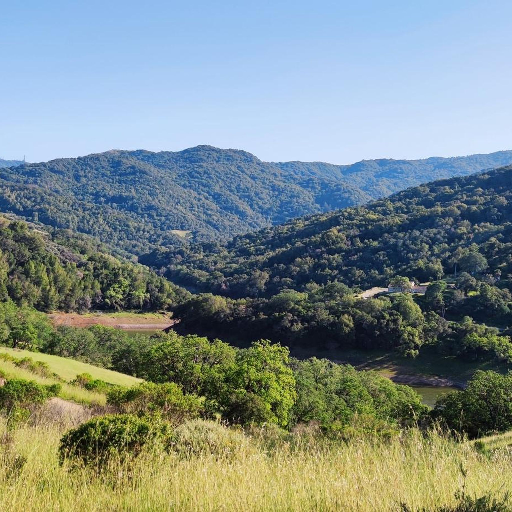
Mountain biking in Sierra Azul Open Space Preserve (Closed Areas) offers diverse terrain across its 19,000 acres within the Santa Cruz Mountains. The preserve features nearly 26 miles of multi-use trails, traversing varied habitats including serpentine grasslands, rocky chaparral, and dense oak woodlands. Riders can experience significant peaks like Mount Umunhum (3,486 feet) and El Sombroso peak (2,999 feet), providing challenging ascents and panoramic views of the Santa Clara Valley and surrounding ranges. The landscape is characterized by deep ravines…
Last updated: July 7, 2026
5.0
(27)
441
riders
30.7km
03:26
990m
990m
Hard mountain bike ride. Very good fitness required. Advanced riding skills necessary. Some portions of the route may require you to push your bike.
4.9
(15)
278
riders
18.4km
01:55
490m
490m
Hard mountain bike ride. Good fitness required. Advanced riding skills necessary. Some portions of the route may require you to push your bike.

Sign up for free
4.8
(12)
189
riders
18.7km
02:03
540m
540m
Hard mountain bike ride. Good fitness required. Advanced riding skills necessary. Some portions of the route may require you to push your bike.
5.0
(1)
33
riders
Moderate mountain bike ride. Good fitness required. Suitable for all skill levels.
7
riders
17.8km
01:36
380m
380m
Hard mountain bike ride. Good fitness required. Advanced riding skills necessary. Some portions of the route may require you to push your bike.
Get access to more routes and recommendations from other explorers.
Sign up for free
Already have an account?
Our route recommendations are based on thousands of hikes, rides, and runs completed by other people on komoot.
Start today with a free account
Your next adventure awaits.
Login or Signup
Popular around Sierra Azul Open Space Preserve (Closed Areas)
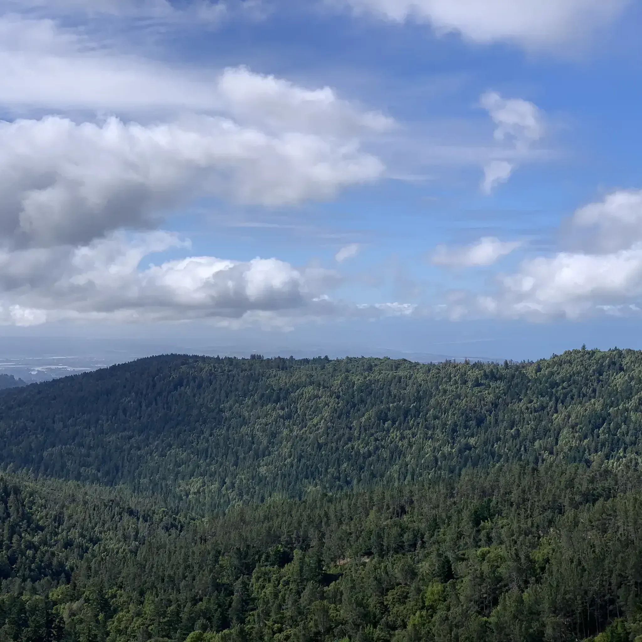
Hiking in Sierra Azul Open Space Preserve (Closed Areas)
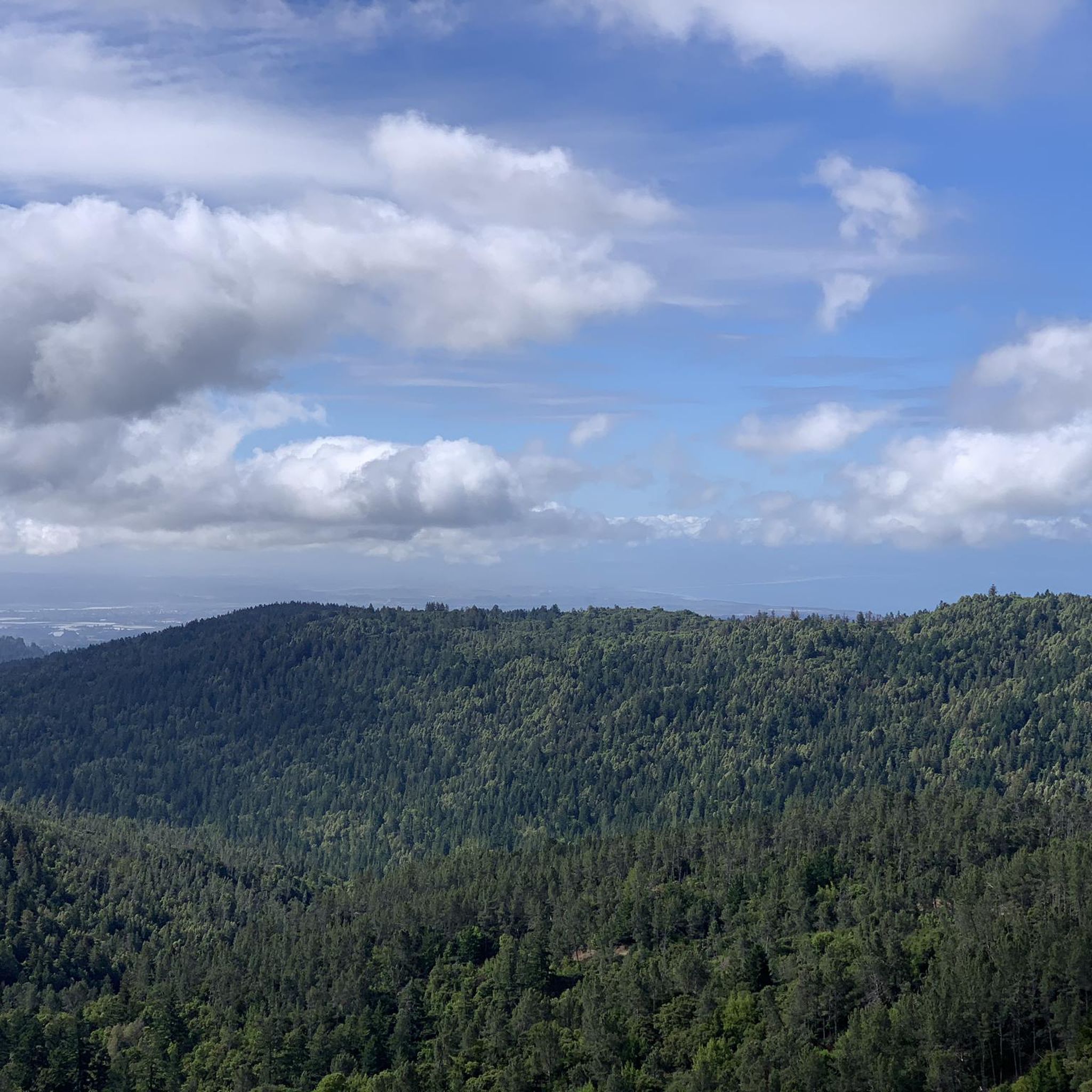
Running Trails in Sierra Azul Open Space Preserve (Closed Areas)
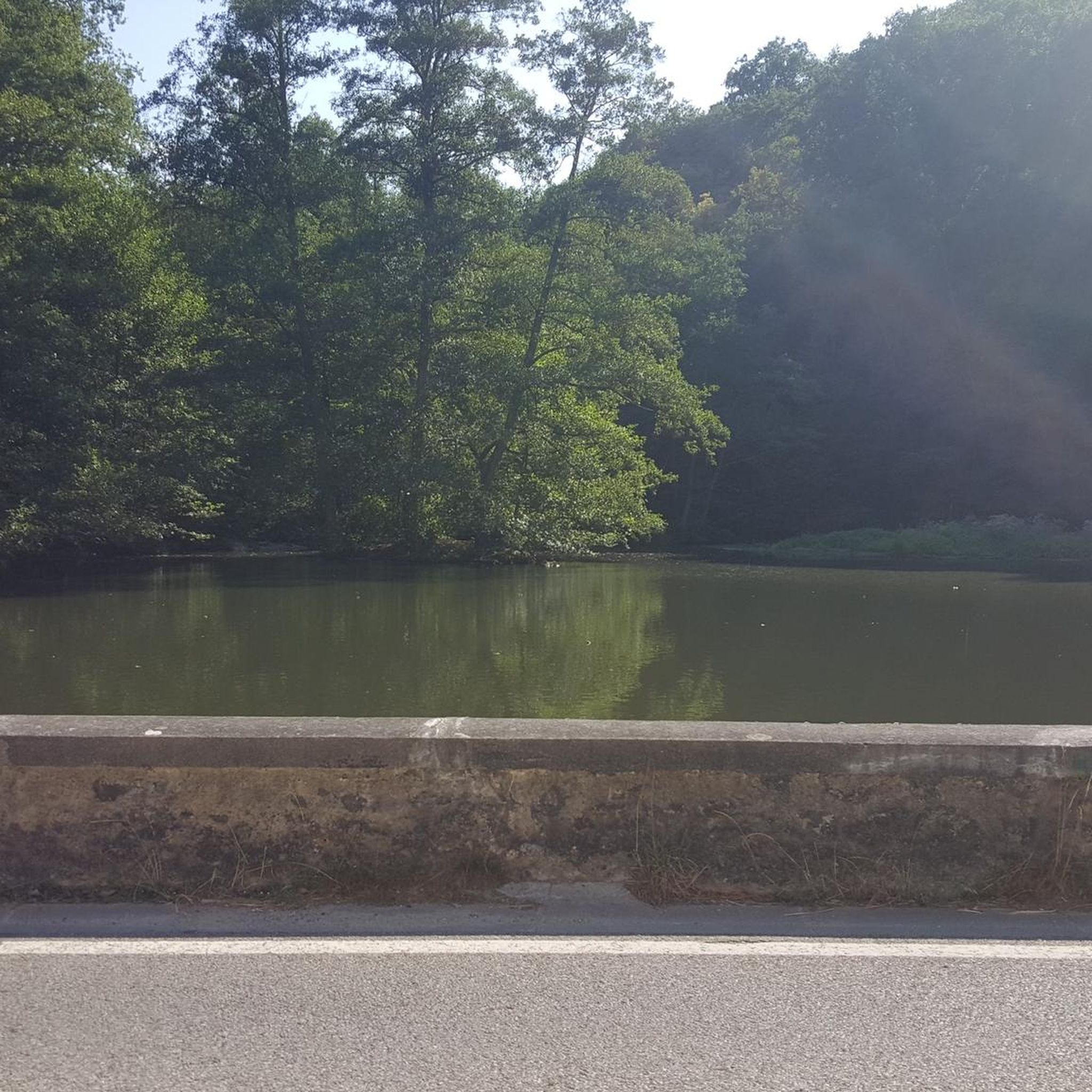
Gravel biking in Sierra Azul Open Space Preserve (Closed Areas)
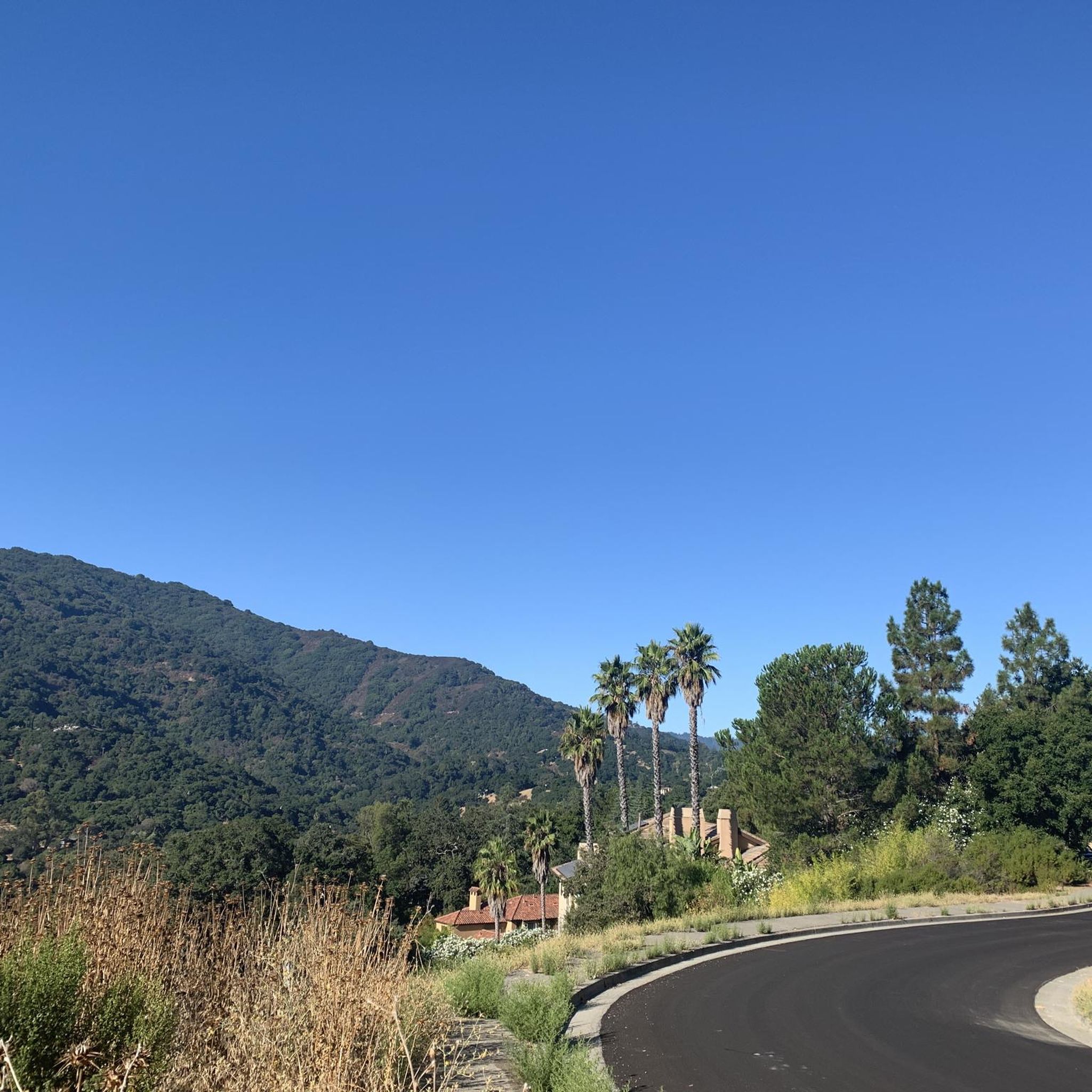
Road Cycling Routes in Sierra Azul Open Space Preserve (Closed Areas)
Cycling in Sierra Azul Open Space Preserve (Closed Areas)
Tips from the Community

This is not a very exciting trail to hike. It’s pretty much a trail surrounded by thick walls of vegetation, with almost no opportunity to view your surroundings. The trail is 70% rocks/gravel, and 30% hard packed clay, so avoid wearing snickers
0
0

Forbes Mill Museum, housed in a two-story building of the original 1854 flour mill, offers a glimpse into Los Gatos' history. Built by James Alexander Forbes as California's first commercial flour mill, over the years, it served various roles, including a power plant and a PG&E substation. Saved from demolition in 1982, the building now features historical exhibits as part of New Museum Los Gatos.
0
0

Hihn's Mill Road serves as an access point for most of the rides in the area. It's right by the parking lot some most of the time you'll be starting or ending your ride along this stretch of double track.
0
0

From the top of the dam you get splendid views out across Lexington Reservoir. To the north you overlook the winding end of the Los Gatos Creek Trail, which connects to the Jones Trail across from the restroom just up the road. The dam itself was constructed in 1952 and stands at nearly 200 feet tall.
0
0
The Kennedy Road Sierra Azul Trailhead has a small parking area that fits about three cars, depending on size, and offers a shaded starting point. A portable toilet is available at the trailhead, and additional parking can be found at the top of Top of the Hill Road.
1
0

The Santa Rosalia Viewpoint marks the top of the Ridge Trail and offers a great view of Soquel Demonstration State Forest and the surrounding foothills. A few different trails converge in this spot, so you have a number of route and loop options.
0
0

Eureka Canyon Road is a scenic, narrow road traveling through dense forests. There are amazing tall redwood trees lining the road and tons of shade, making for a great option on a hot day.
0
0
The Santa Rosalia Viewpoint marks the top of the Ridge Trail and offers a great view of Soquel Demonstration State Forest and the surrounding foothills. A few different trails converge in this spot, so you have a number of route and loop options.
1
0
Frequently Asked Questions
How many mountain bike trails are available in Sierra Azul Open Space Preserve?
There are over 60 mountain bike routes available in Sierra Azul Open Space Preserve. These trails cater to various skill levels, with 10 easy, 35 moderate, and 22 difficult options to explore.
What kind of terrain can I expect when mountain biking in Sierra Azul Open Space Preserve?
Mountain biking in Sierra Azul Open Space Preserve offers diverse terrain across its 19,000 acres. You'll traverse varied habitats including serpentine grasslands, rocky chaparral, dense oak woodlands, and riparian corridors. The preserve features significant peaks like Mount Umunhum and El Sombroso, providing challenging ascents and rewarding descents.
Are there any family-friendly mountain biking options in Sierra Azul Open Space Preserve?
While many trails offer challenging ascents, some sections, like the Mount Umunhum Trail, have a moderate grade of about six percent, making them manageable for various skill levels. For a moderate ride with great views, consider the Mount Umunhum Loop, which is 13.8 miles long.
What are some notable landmarks or viewpoints along the mountain bike trails?
The preserve offers breathtaking panoramic views from its peaks, including Mount Umunhum, Mount Thayer, and El Sombroso. You can see the Santa Clara Valley, Lexington Reservoir, and even the Pacific Ocean on clear days. The historic Almaden Air Force Station and its distinctive radar tower are also visible from various points. You can also pass by the Guadalupe Reservoir.
What do other mountain bikers enjoy most about the trails in Sierra Azul Open Space Preserve?
The mountain bike routes in Sierra Azul Open Space Preserve are highly rated by the komoot community, with an average score of 4.6 stars from nearly 300 reviews. Riders often praise the diverse habitats, challenging climbs, and the breathtaking panoramic vistas from the peaks.
Are there any loop trails suitable for mountain biking?
Yes, there are several loop trails. For a challenging ride through varied habitats, consider the Braille Trail Loop, which is 11.4 miles long. Another popular moderate option is the Mount Umunhum Loop.
What is the best time of year to go mountain biking in Sierra Azul Open Space Preserve?
The preserve offers opportunities year-round. Spring is particularly beautiful with flowering plants, especially the rare endemic species at Mount Umunhum's summit. Clear days offer the best panoramic views, extending from the Pacific Ocean to the Sierra Nevada. Always check local weather conditions before heading out.
Are dogs allowed on the mountain bike trails?
The Midpeninsula Regional Open Space District, which manages Sierra Azul, has specific rules regarding dogs. It's best to check their official website for the most current regulations on where dogs are permitted and if they need to be on a leash.
Are there any particularly challenging mountain bike trails for experienced riders?
For experienced riders seeking a challenge, the preserve offers several difficult routes. The Soquel Demonstration Forest Flow Trail is a difficult 19.1-mile trail with significant elevation gain, taking over 3 hours to complete. Another demanding option is the Mount Umunhum – Mount Umunhum loop from Almaden Quicksilver County Park, a 20-mile difficult route.
Where can I find parking for mountain biking in Sierra Azul Open Space Preserve?
Access points like the Bald Mountain parking area provide access to trails such as the Mount Umunhum Trail. The Kennedy Road Sierra Azul Trailhead also offers access to trails like the Kennedy Trail. It's advisable to check specific trailhead information for parking availability and regulations.
Are there any climbs known for their views or difficulty?
Absolutely. The preserve is known for its challenging ascents. The Mount Umunhum Road climb is a prominent feature, leading to incredible panoramic views. Another notable climb is the Hicks Road Climb.
Most popular routes in Sierra Azul Open Space Preserve (Closed Areas)
Most popular attractions in Sierra Azul Open Space Preserve (Closed Areas)

Get inspired with the komoot mobile app


Explore more
Browse the best MTB trails in other regions.
