The best walks and hikes in Sierra Azul Open Space Preserve (Closed Areas)
4.6
(218)
3,546
hikers
170
hikes
If you've ever tried to plan hiking in Sierra Azul Open Space Preserve (Closed Areas), you know the challenge: a vast network of trails, but which ones are truly worth your time and effort? It's easy to get lost in the options, wondering if you're picking a genuine highlight or just another path. We get it, and we're here to cut through the guesswork. Our komoot community has explored, mapped, and reviewed countless routes here, so consider this your curated…
Last updated: May 10, 2026
2
hikers
6.77km
02:23
590m
30m
The Priest Rock Trail offers a demanding yet incredibly rewarding hiking experience, taking you through the Sierra Azul Open Space Preserve. You'll navigate a consistently steep service road, often loose…
9.48km
02:39
80m
380m
Hihn's Mill Road offers a captivating journey through the Santa Cruz Mountains, primarily following a historic dirt and gravel fire road. You'll wind through a dense, canopied forest of towering…

Sign up for free
4.4
(8)
79
hikers
8.89km
02:45
330m
330m
The Limekiln and Priest Rock Trail Loop offers a diverse hiking experience, transitioning from shaded bay laurel forests along a creek to open chaparral with sweeping views. You'll navigate challenging,…
20.3km
06:09
660m
660m
The Hihn's Mill and Ridge Trail Loop offers a deep dive into the majestic redwood forests of Soquel Demonstration State Forest. This difficult 12.6-mile (20.3 km) hike takes you through…
6
hikers
Moderate hike. Good fitness required. Easily-accessible paths. Suitable for all skill levels.
Get access to more routes and recommendations from other explorers.
Sign up for free
Already have an account?
Our route recommendations are based on thousands of hikes, rides, and runs completed by other people on komoot.
Start today with a free account
Your next adventure awaits.
Login or Signup
Popular around Sierra Azul Open Space Preserve (Closed Areas)
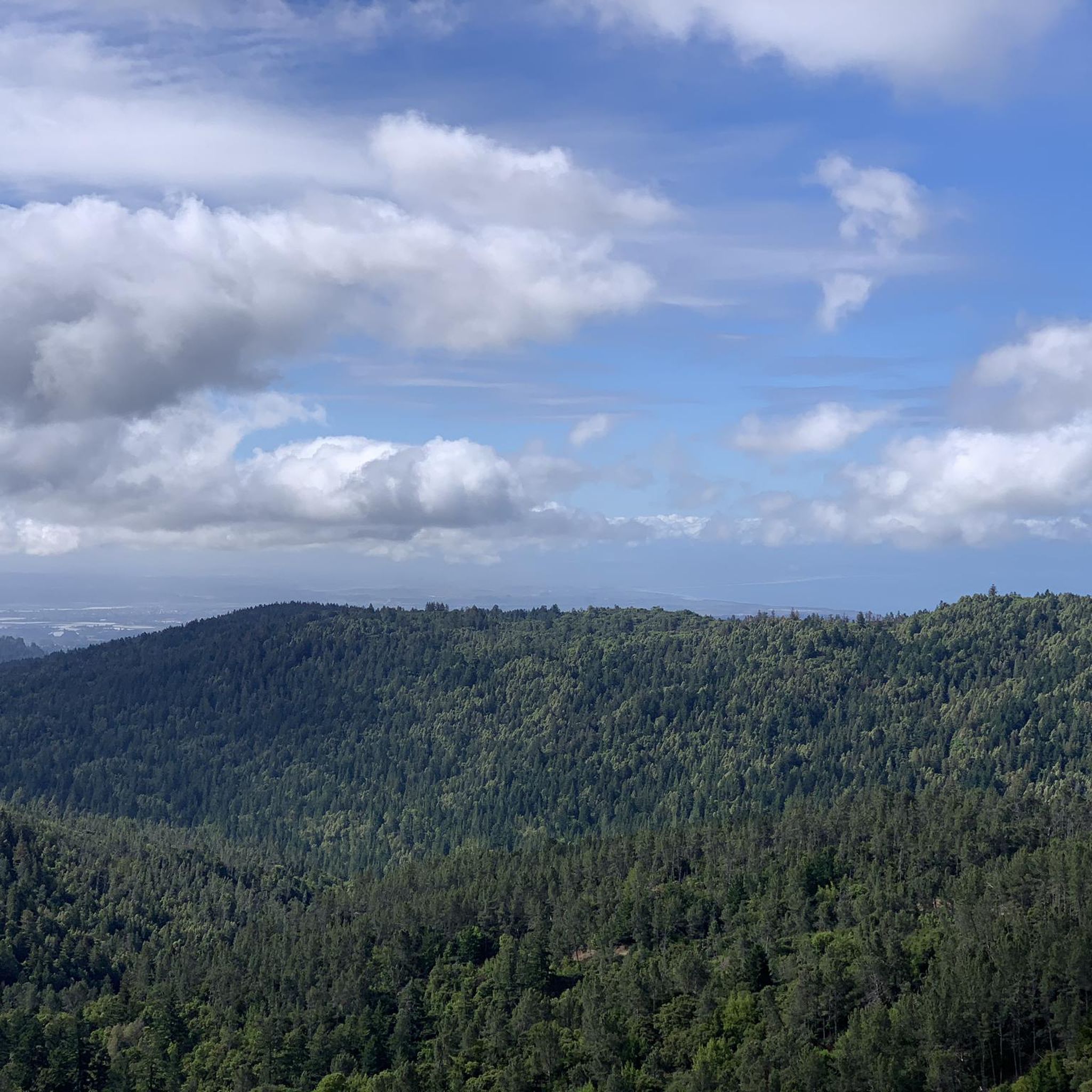
Running Trails in Sierra Azul Open Space Preserve (Closed Areas)
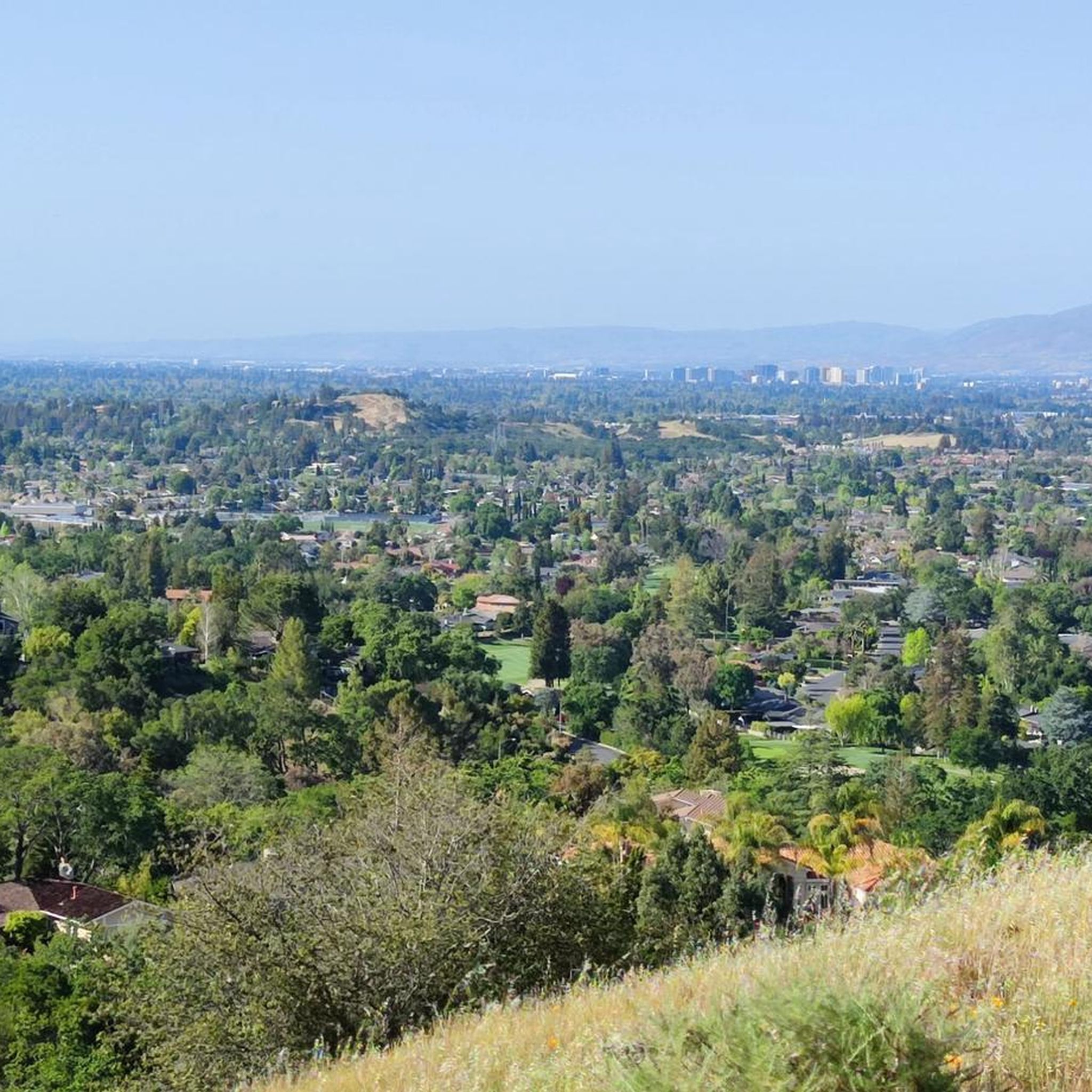
MTB Trails in Sierra Azul Open Space Preserve (Closed Areas)
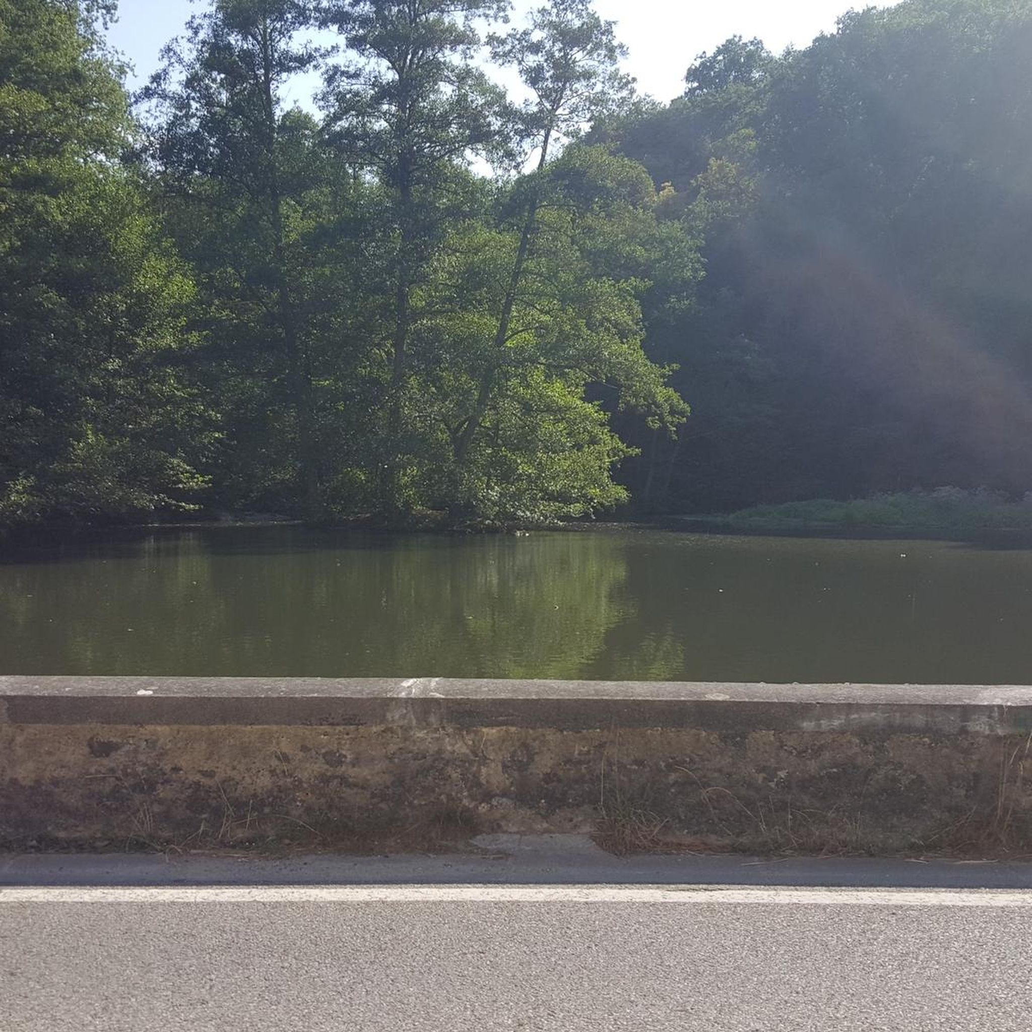
Gravel biking in Sierra Azul Open Space Preserve (Closed Areas)
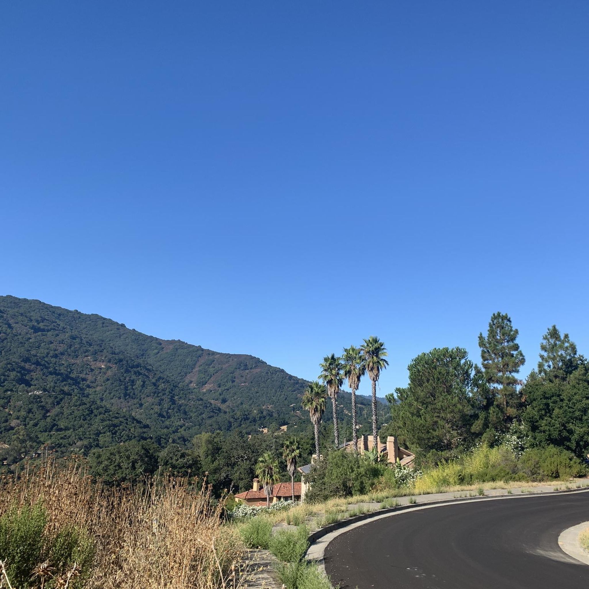
Road Cycling Routes in Sierra Azul Open Space Preserve (Closed Areas)
Cycling in Sierra Azul Open Space Preserve (Closed Areas)
Tips from the Community

A scenic stop just off the winding roads of the Santa Cruz Mountains, Lexington Reservoir County Park is a great spot to catch your breath and enjoy the view. The smooth pavement along Alma Bridge Road makes it a popular stretch for cyclists, with rolling terrain and minimal traffic. There's parking, restrooms, and shaded areas if you need a break. From here, you can loop toward Los Gatos or push deeper into the climbs of Highway 17 and Old Santa Cruz Highway.
0
0

An excellent spot to take a break and enjoy the full breath of Lexington Reservoir. There is a Plaque dedicated to deputy Douglas B. Miller, who was fatally wounded while performing his duties.
0
0

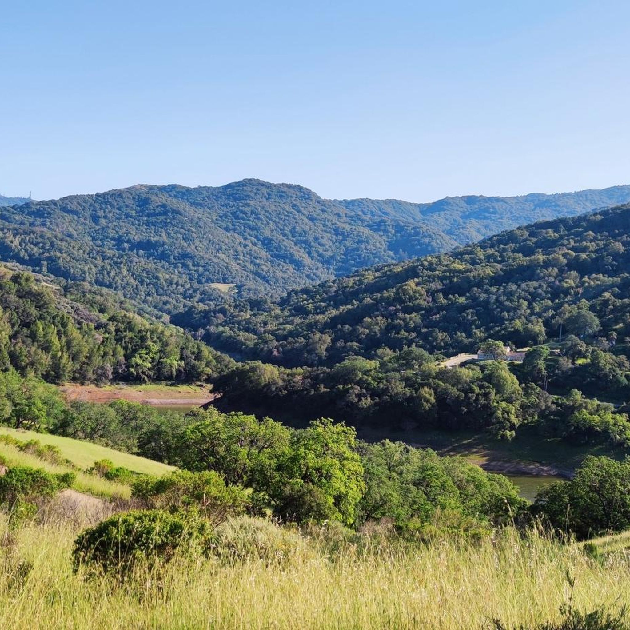
Ascending just a few hundred feet along Priestrock Trail toward Sierra Azul Open Space reveals expansive vistas overlooking the tranquil, turquoise-blue waters of Lexington Reservoir.
0
0

Ridge Trail is a multi-use path taking you deep inside the forest. This segment in particular includes a great climb that will make your legs work.
0
0

Ride a little (200m) past the intersection of Kennedy/PriestRock and you'll find a nice vantage point to your right: good for a rest and 360*-views.
2
0


Sierra Azul Open Space Preserve is a very large protected area straddling several ridges between Los Gatos and Santa Cruz, popular with mountain bikers and hikers.
2
0
Limekiln Trail crosses Priestrock trail after a couple of miles as a short return route option, or to continue deeper into the Preserve. Along the trail are excellent views into the still active Lexington Quarry.
2
1
Frequently Asked Questions
Why are some parts of the Sierra Azul Open Space Preserve closed?
Certain areas, such as Cathedral Oaks and Rancho de Guadalupe, are closed to the public because they are part of a long-term plan by the Midpeninsula Regional Open Space District. These sections are awaiting future trail planning and infrastructure development to ensure they are safe and sustainable for public access. The currently open areas provide extensive and challenging trails.
Are dogs allowed on the trails in Sierra Azul?
No, dogs are not permitted in the Sierra Azul Open Space Preserve. This rule is in place to protect the sensitive wildlife habitats and the diverse native plant species found throughout the preserve, including on and around Mount Umunhum.
What are the opening hours for the Mount Umunhum area?
The Mount Umunhum area is open daily from 7:00 a.m. to sunset. The entrance gate automatically locks in the evening, so it's important to plan your hike to ensure you are back at the parking area and can exit before the preserve closes.
Is there a good option for an easy, family-friendly hike?
Yes, for a less strenuous outing, consider the Saint Josephs Hill Summit — Saint Josephs Hill Open Space Preserve hike. It's a relatively short and manageable trail that still offers rewarding views, making it a good choice for families or those looking for a quick nature walk.
What kind of landscape can I expect on the trails?
The terrain is very diverse and rugged. You'll hike through a mix of landscapes, including steep, sunny chaparral-covered slopes, dense bay tree forests, and shaded oak woodlands. The area around Mount Umunhum also features unique serpentine soils which support rare plants.
Are there any challenging hikes for experienced hikers?
Absolutely. For a demanding trek, the Ridge Trail loop — Soquel Demonstration State Forest is an excellent choice. This long-distance trail involves significant elevation gain and takes you through dense, remote forest, offering a true wilderness challenge.
How many hiking trails are in the Sierra Azul area?
There are over 130 different routes to explore in and around the Sierra Azul Open Space Preserve. These range from short, easy walks to strenuous, all-day treks, with the majority being rated as moderate in difficulty.
What do other hikers think of the trails in Sierra Azul?
The trails in this area are highly regarded by the komoot community. Hikers often praise the stunning panoramic views from the peaks, the challenging climbs, and the feeling of being in a true wilderness so close to the city.
Is there a good circular walk available?
Yes, the Priest Rock & Limekiln Trails loop is a popular circular route. It's a moderately difficult hike that features steady climbs through shaded woodlands near the Lexington Reservoir, making for a well-rounded and scenic outing.
What is the historical significance of Mount Umunhum?
The mountain holds deep cultural importance for the Amah Mutsun people, to whom it is a sacred site central to their creation story. Its name means "resting place of the hummingbird." More recently, its summit was the site of the Almaden Air Force Station, a Cold War-era radar facility, and the iconic concrete radar tower base remains a prominent landmark.
What kind of wildlife might I see in the preserve?
Sierra Azul is a rich habitat for a variety of wildlife. While sightings are not guaranteed, the preserve is home to mountain lions, bobcats, deer, and coyotes. It's a prime example of the wilder side of the Santa Cruz Mountains, so always be aware of your surroundings.
Most popular routes in Sierra Azul Open Space Preserve (Closed Areas)
Most popular attractions in Sierra Azul Open Space Preserve (Closed Areas)

Get inspired with the komoot mobile app


Explore more
Browse the best Hikes in other regions.
