The best volcano hikes and walks in Dauner Maare
4.5
(20270)
68,193
hikers
12
hikes
Volcano hiking trails in Dauner Maare traverse a unique volcanic landscape characterized by its distinctive "maare," which are circular lakes formed by volcanic activity. The region features water-filled craters nestled within rugged terrain, alongside numerous dry maars and volcanic cones. Lush green, wooded slopes frame the deep blue waters, highlighting the area's rich geological history as part of the Vulkaneifel UNESCO Global Geopark.
Best volcano hiking trails in Dauner Maare
- The most popular volcano hiking route is Dronke Tower on…
Last updated: September 28, 2026
4.7
(606)
2,130
hikers
Moderate hike. Good fitness required. Easily-accessible paths. Suitable for all skill levels.
4.7
(49)
157
hikers
Moderate hike. Good fitness required. Easily-accessible paths. Suitable for all skill levels.

4.6
(10)
36
hikers
Moderate hike. Good fitness required. Easily-accessible paths. Suitable for all skill levels.
4.0
(15)
42
hikers
16.9km
04:45
340m
340m
Moderate hike. Good fitness required. Easily-accessible paths. Suitable for all skill levels.
4.2
(5)
26
hikers
Easy hike. Great for any fitness level. Easily-accessible paths. Suitable for all skill levels.
Get access to more routes and recommendations from other explorers.
Already have an account?
Our route recommendations are based on thousands of hikes, rides, and runs completed by other people on komoot.
Start today with a free account
Your next adventure awaits.


Other adventures in Dauner Maare


Tips from the Community

Wonderfully located, highly recommended.
0
0

But with a great natural swimming area and super water quality.
0
0

The urge to "immerse oneself in nature" is not a modern trend that we humans of the 21st century are letting ourselves be led into – for example, with the komoot tour planner – but is based on much older behaviors and the ancient knowledge that it simply does good. Already in a "little book of reminders" written by Peter Rosegger (1843 to 1918), the exhortation reads: "We must once again properly bring out our healthy limbs and immerse ourselves in nature, rediscovering within ourselves the lost strengths that are ours. That... makes you fresh, makes you strong, and makes you wise. You learn a lot from it, especially how to live simply and become cheerful."
0
1
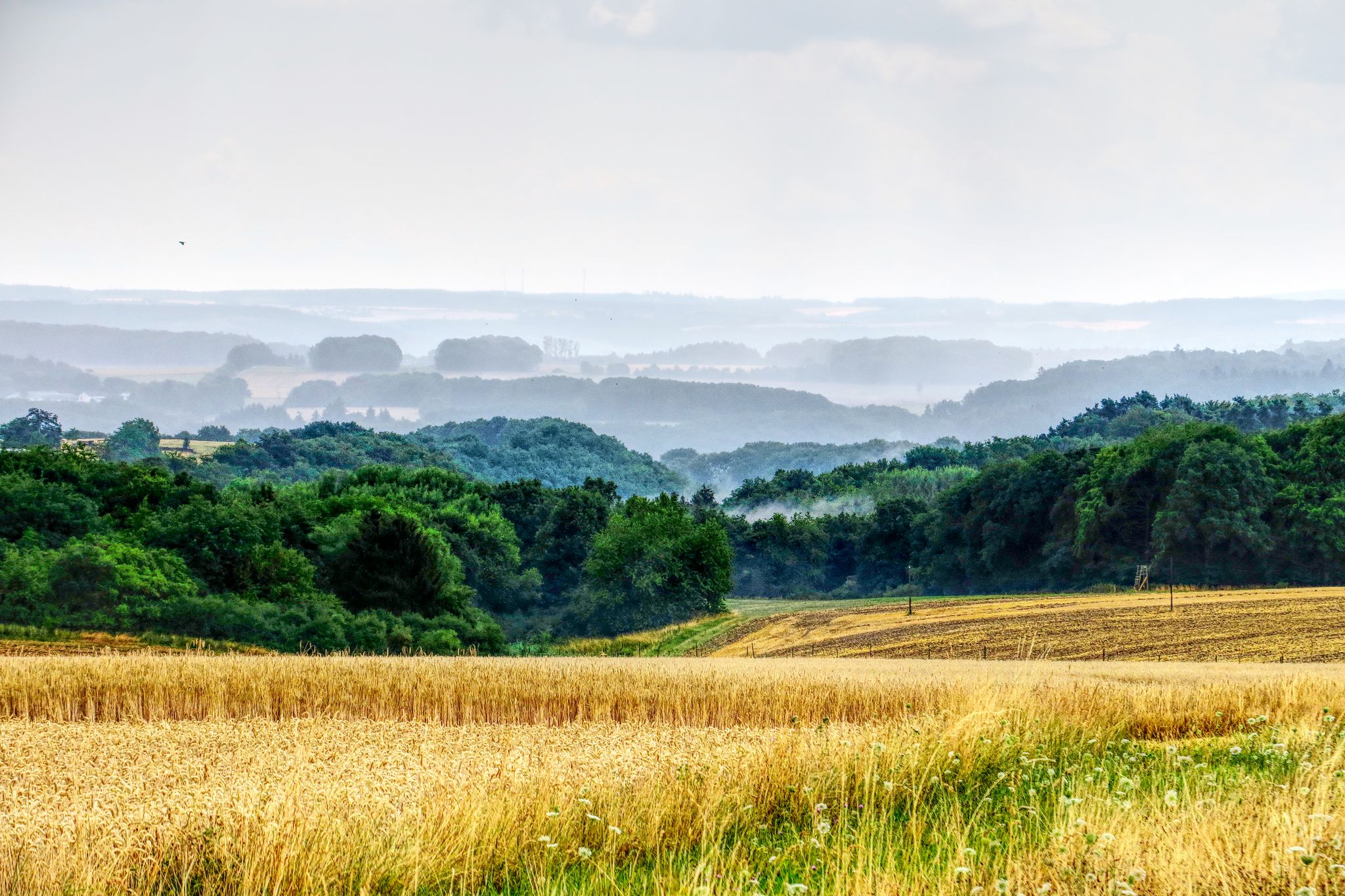
All hikers / walkers, who are enjoying this view that presents itself to the eye here, I would like to invite with the words of the writer Otto Wilhelm Ullmann to discover the world (and with it the beauty of nature): "Hiking means discovering the world, finding hidden corners, in old alleys, quiet spots feeling the bliss of peace, raising reverence for the old and nurturing the heritage of the fathers, awakening joy from the smallest things: Hiking means discovering the world."
2
0
The "Heimatspur Maareglück", which hikers/walkers repeatedly encounter in the vicinity of the Totenmaar, the Schalkenmehrener Maar, and the Gemündener Maar - or perhaps even follow - is in the final for the election of the most beautiful hiking trail in Germany (2026). Those who still want to vote by June 30 can find the virtual voting booth at =>> https://wandermagazin.de/wahlstudio
1
0

very nice view of Schalkenmehren and its Maar
0
0

Frequently Asked Questions
How many volcano hiking trails are available in Dauner Maare?
There are 13 volcano hiking trails in Dauner Maare, ranging from easy to difficult. You'll find 6 easy routes, 5 moderate, and 2 more challenging options to explore the unique volcanic landscape.
What are the main natural features to see on volcano hikes in Dauner Maare?
The primary natural features are the maars themselves, which are volcanic crater lakes. You can explore the Schalkenmehrener Maar, the Gemündener Maar, and the Weinfelder Maar (also known as Totenmaar). These deep blue lakes are nestled within lush, wooded slopes, offering stunning views and a constant reminder of the region's volcanic past.
Are there any viewpoints or landmarks along the volcano trails?
Yes, a prominent landmark is the Dronke Tower on the Mäuseberg, which offers breathtaking panoramic views over the Eifel's volcanic landscape and the maars. You'll also find several scenic viewpoints like the View of the Gemünden maar and the View of the Weinfelder Maar (Totenmaar).
Are there any circular volcano hikes in Dauner Maare?
Yes, many of the trails are circular, allowing you to start and end at the same point. For instance, the Dronke Tower on the Mäuseberg – Schalkenmehrener Maar loop from Schalkenmehren is a moderate 9.6 km circular route that takes you past key sights.
What is the best time of year to hike the volcano trails in Dauner Maare?
The Dauner Maare region is beautiful year-round. Spring brings blooming flora, summer offers pleasant conditions for swimming in the maars, autumn showcases vibrant foliage, and winter can provide serene, snow-dusted landscapes. Always check local weather forecasts before heading out, especially for winter hikes.
Are the volcano hikes in Dauner Maare suitable for families?
Many trails are family-friendly, especially the easier routes around the maars. The Gemündener Maar, for example, is the smallest and allows for swimming and boating, making it a great spot for a family outing. Look for routes marked as 'easy' for the most suitable options.
Can I bring my dog on the volcano hiking trails?
Generally, dogs are welcome on trails in the Dauner Maare, but it's always best to keep them on a leash, especially in nature reserve areas like around the Weinfelder Maar. Be mindful of local regulations and other hikers.
What is the typical terrain like on these volcano trails?
The terrain often features paths traversing areas with coarse-grained lava, reminding you of the region's explosive geological past. You'll encounter varied surfaces, from well-maintained paths around the maars to more rugged sections on slopes, with some routes requiring good fitness and sure-footedness.
Are there places to eat or drink near the volcano hiking trails?
Yes, you'll find options for refreshments. The Gemündener Maar has a forest café, and the Schalkenmehrener Maar also offers places for refreshments. The towns surrounding the maars, such as Daun and Schalkenmehren, also have various cafes and restaurants.
What do other hikers say about the volcano trails in Dauner Maare?
The Dauner Maare region is highly rated by the komoot community, with an average score of 4.6 stars. Reviewers often praise the stunning views of the maars, the well-marked paths, and the unique volcanic landscape that makes for a truly memorable hiking experience.
Is there a longer, more challenging volcano hike available?
For experienced hikers seeking a challenge, the Schalkenmehrener Maar – Dronke Tower on the Mäuseberg loop from Daun is a difficult 22.2 km route with over 400 meters of elevation gain, offering an extensive exploration of the volcanic landscape.
Where can I find information about the geological significance of the Dauner Maare?
The Vulkaneifel is recognized as a UNESCO Global Geopark due to its worldwide significance for maar volcanism. You can learn more about the unique density of maars and other volcanic phenomena through local information centers or by visiting resources like rlp-tourismus.com.
Most popular routes in Dauner Maare
Most popular attractions in Dauner Maare

Get inspired with the komoot mobile app


Explore more
Browse the best Hikes in other regions.
