The 8 Most Amazing Peaks around Soyhières
Best mountain peaks around Soyhières offer diverse outdoor experiences in a region characterized by its mountainous terrain and historical significance. Situated near the border between Switzerland and France, the area features elevations that provide expansive views. The landscape includes dense forests, open ridges, and passes that connect different cantons. This geographical setting makes Soyhières a destination for exploring both natural and cultural landmarks.
Best mountain peaks around Soyhières
- The most popular mountain peaks is Remelturm Observation Tower, a viewpoint…
Last updated: June 29, 2026
Welschgätterli Pass
Highlight • Mountain Pass
Translated by Google •
Tip by

Remelturm Observation Tower
Highlight • Viewpoint
Translated by Google •
Tip by

Sign up now to discover places like this
Get recommendations on the best single tracks, peaks, & plenty of other exciting outdoor places.
Sign up for free
Mätzerlechrüz Cross
Highlight • Monument
Translated by Google •
Tip by

Karlisberg (946 m above sea level)
Highlight • Viewpoint
Translated by Google •
Tip by

Brunneberg: Highest Point
Highlight • Summit
Translated by Google •
Tip by
Sign up for free to discover even more peaks around Soyhières.
Sign up for free
Already have an account?
Start today with a free account
Your next adventure awaits.
Login or Signup
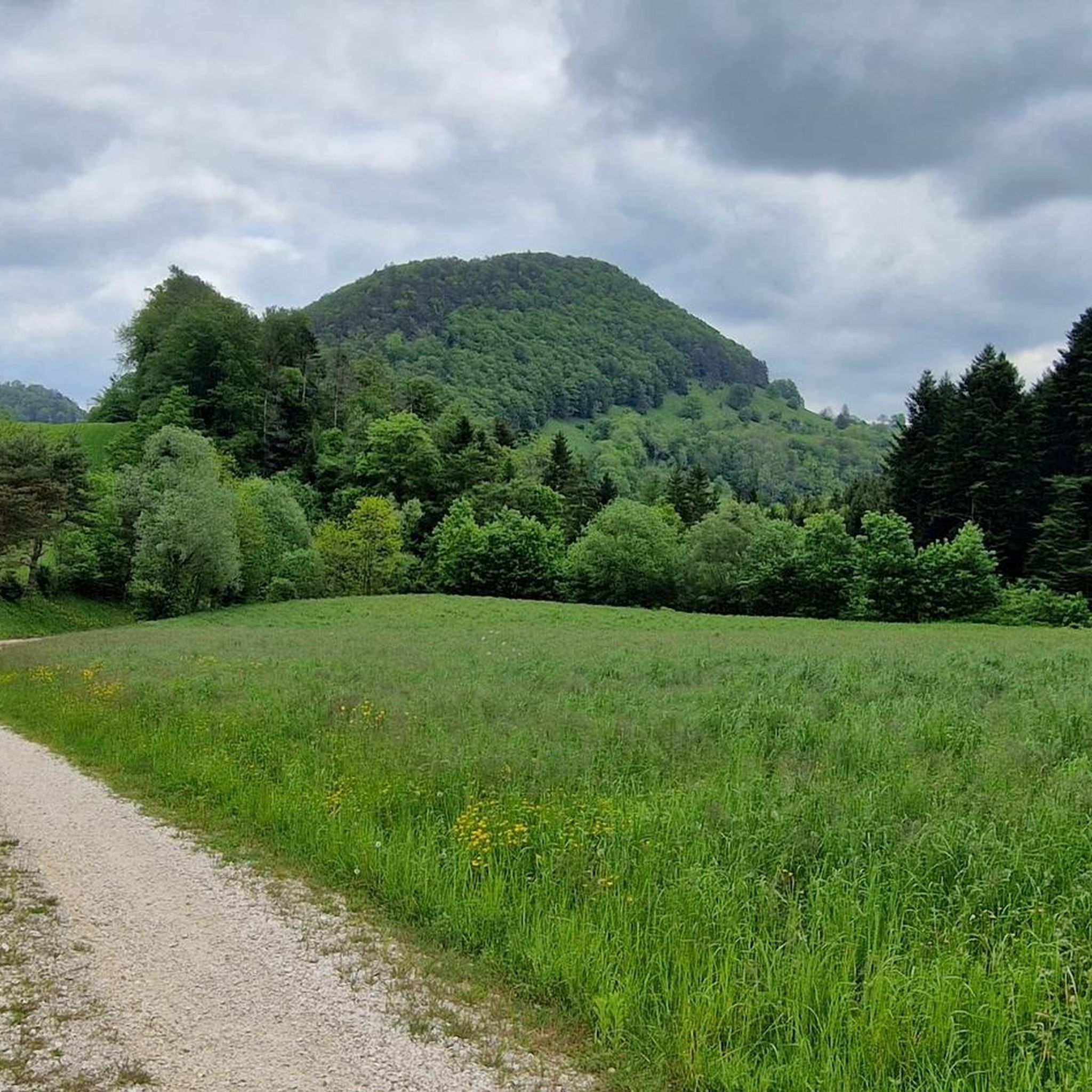
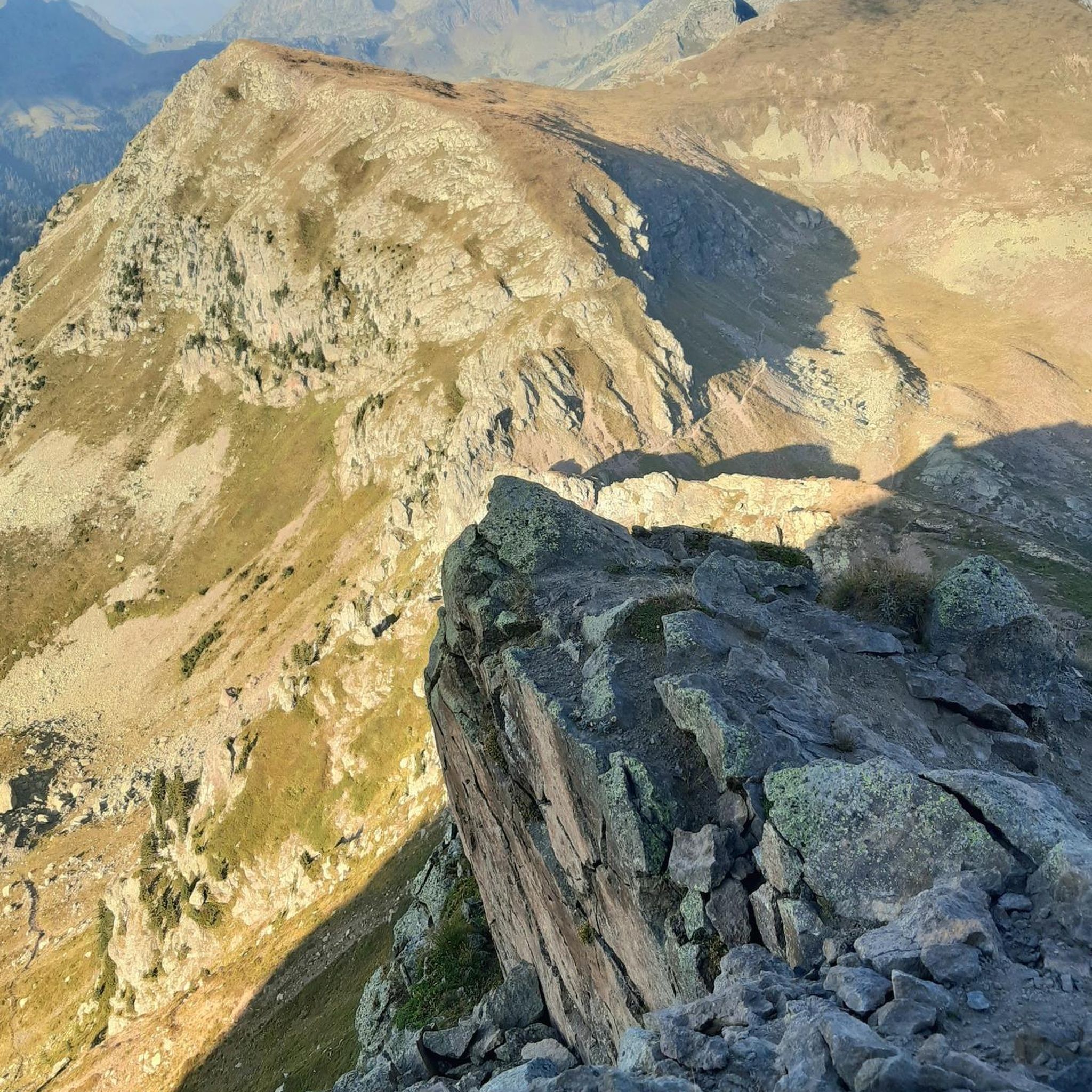
Tips from the Community


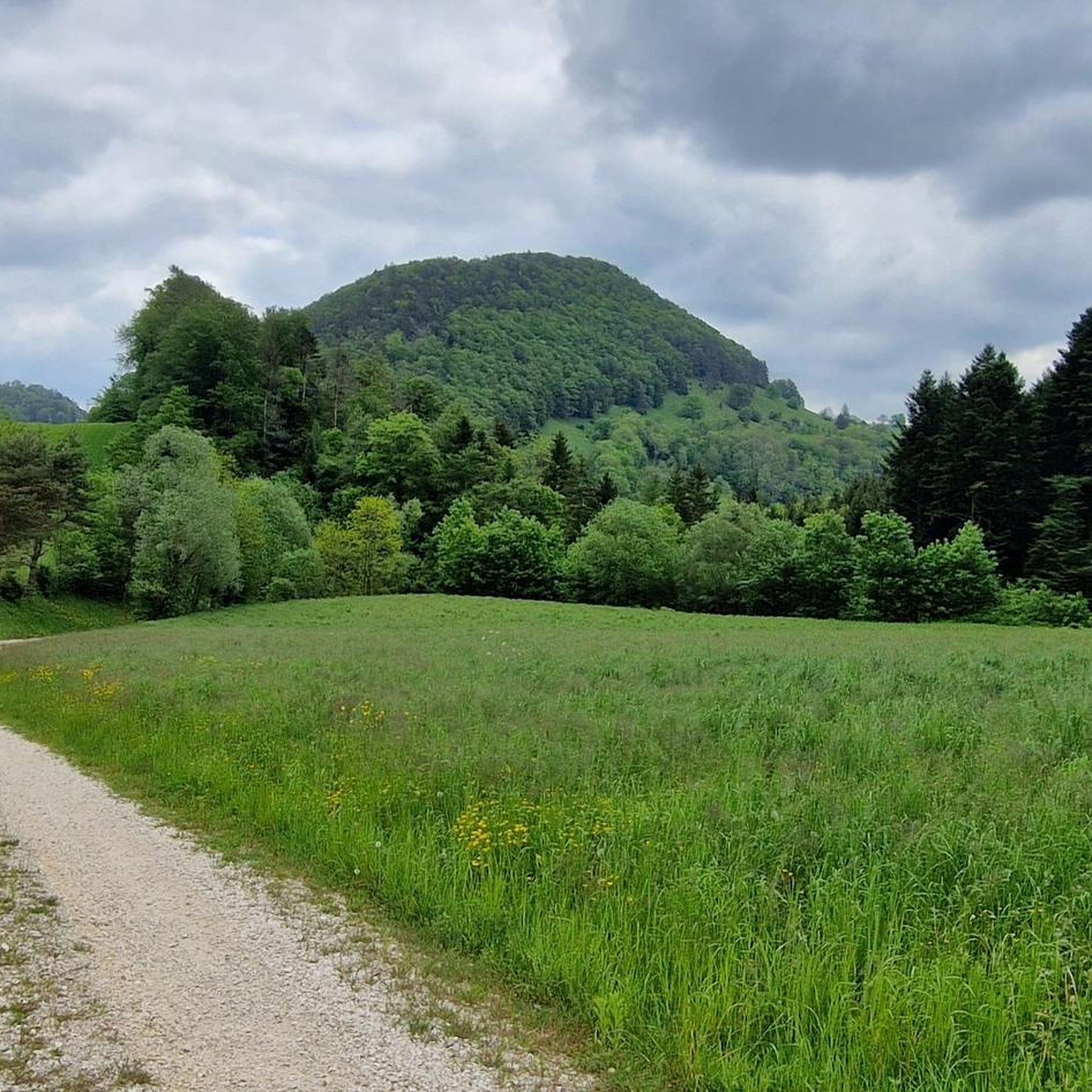
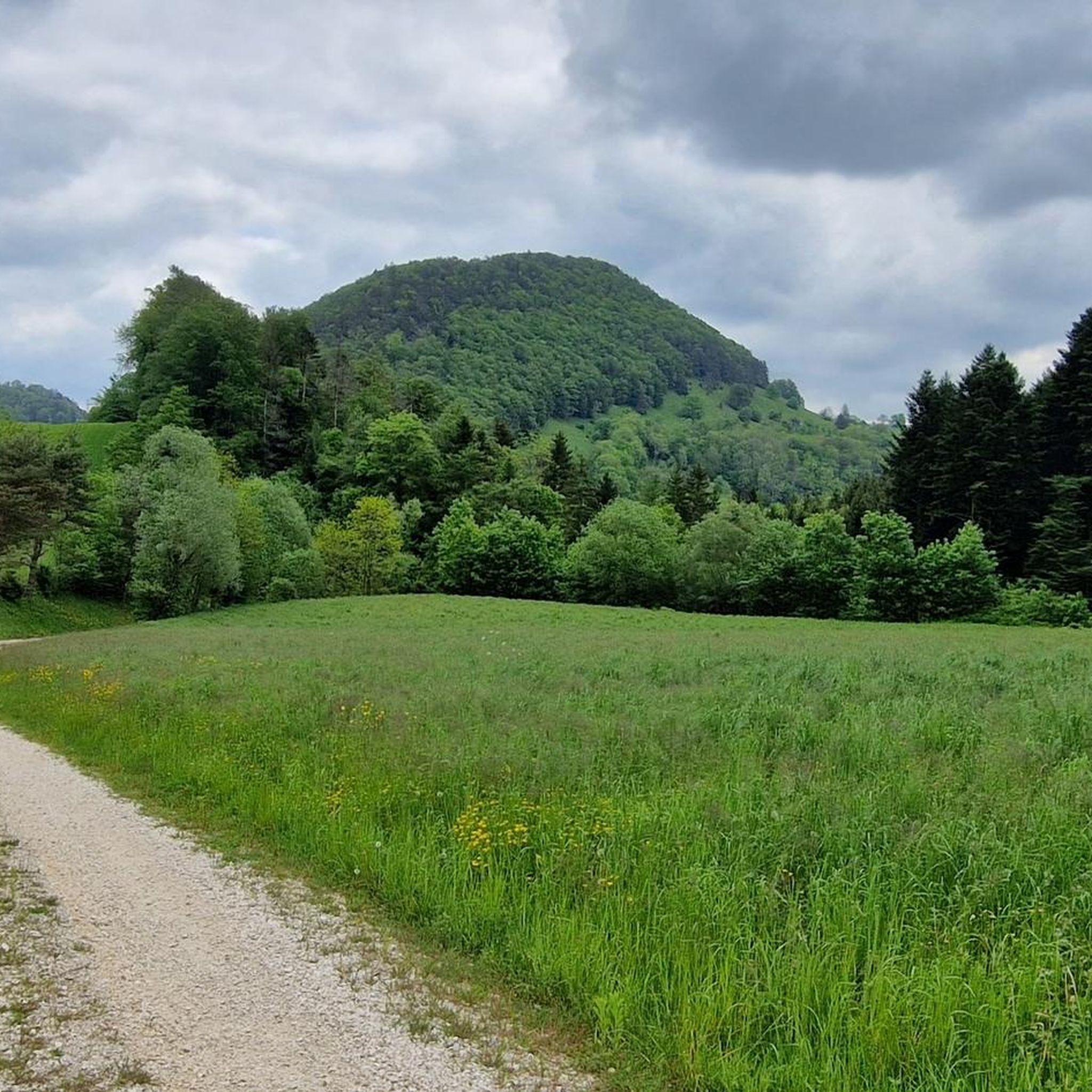
The Welschgätterli is a mountain pass between Montsevelier in the canton of Jura and Erschwil in the canton of Solothurn. Its summit is at an altitude of 810 meters above sea level, directly on the border between the two cantons. A yellow-marked hiking trail leads over the pass, connecting the two villages. You can also hike past the Welschgätterli on the Chemin du Val Terbi, which takes you on a circular route over the heights around Montsevelier. From the summit of the pass, the hike to Montsevelier takes about half an hour and to Erschwil around 40 minutes.
5
0

Welschgätterli, a "to-do" in the region! 😍
1
0

After a long and hard climb from the Rotberg, this is the highlight.
1
0

The Karlisberg offers a wonderful view. However, you have to walk a few meters towards the ridge so that you can enjoy it. The Karlisberg is on the Fringeli-Retemberg route and is just a “passage point” when biking. But the short stop is worth it.
2
0

The weather was very nice and very warm on both sides...😉
0
0

Transition from the canton of Jura to Baselland
0
0
Beautiful ascent via bike route 2 to the Welschgätterli
1
0
Frequently Asked Questions
What are some popular mountain peaks and viewpoints to visit around Soyhières?
Visitors frequently enjoy the Remelturm Observation Tower, known for its historical significance as a signal and observation point, and offering great views. Another popular spot is the Welschgätterli Pass, an 810-meter high pass that marks the language border and connects villages with a yellow-marked hiking trail.
Are there historical sites among the mountain peaks in the Soyhières region?
Yes, the region is rich in history. The Remelturm Observation Tower served as a signal point for national surveys and an observation post during the First World War. Additionally, the Mätzerlechrüz Cross is a historical wayside cross located on a pilgrim path, and Brunneberg: Highest Point features a memorial from the First World War.
What kind of hiking trails can I find near the mountain peaks of Soyhières?
The Soyhières area offers a variety of hiking trails. You can find easy options like the 'Hiking loop from Soyhières' (6 km), or moderate routes such as 'View from the Roc de Courroux – View of Liesberg loop from Soyhières' (12 km). For more details and routes, explore the Hiking around Soyhières guide.
Are there any mountain passes worth exploring in Soyhières?
Absolutely. The Welschgätterli Pass is a notable mountain pass at 810 meters above sea level, situated directly on the border between the cantons of Jura and Solothurn. It's a significant point along a yellow-marked hiking trail connecting Montsevelier and Erschwil.
What are the best viewpoints for scenic photography in the Soyhières mountains?
For wonderful views, consider visiting Karlisberg (946 m above sea level). While it's a passage point on some routes, a short stop allows you to enjoy expansive vistas. The Remelturm Observation Tower also provides nice views along the ridge.
What other outdoor activities are available near the mountain peaks of Soyhières besides hiking?
Beyond hiking, the region is excellent for road cycling and running. You can find various road cycling routes, including longer tours like 'Rangiers Pass – Junction Towards Asuel loop from Soyhières' (74 km). For runners, there are trails such as the 'Étang de l'Algérie loop from Delémont' (10 km). Discover more options in the Road Cycling Routes around Soyhières and Running Trails around Soyhières guides.
What makes the Brunneberg peak significant?
The Brunneberg: Highest Point is notable as the highest point on the Blue Trail. It also holds historical importance, featuring a memorial from the First World War, making it a place for both natural beauty and reflection.
Are there any trails that combine natural beauty with cultural heritage?
Yes, the Mätzerlechrüz Cross is located on a pilgrim path, offering a blend of natural forest trails and historical significance. It's a wayside cross on the border, connecting areas like Laufental to Mariastein or Hofstetten to Meltingen.
What do visitors particularly enjoy about the mountain peaks around Soyhières?
Visitors appreciate the diverse outdoor experiences, from technical trails with nice views at the Remelturm Observation Tower to the sense of achievement after a climb, as noted by those reaching the Mätzerlechrüz Cross. The wonderful views from spots like Karlisberg are also highly valued.
What is the general terrain like for mountain peaks in the Soyhières region?
The region is characterized by mountainous terrain with elevations offering expansive views. You'll encounter dense forests, open ridges, and passes. Trails can range from intermediate, like those around Welschgätterli Pass, to more technical sections suitable for e-MTB near the Remelturm Observation Tower.
Most popular routes around Soyhières
Most popular attractions around Soyhières

Get inspired with the komoot mobile app


Explore more
See even more amazing summits around Soyhières with these guides:
