The best running trails around Soyhières
4.4
(101)
2,371
runners
208
runs
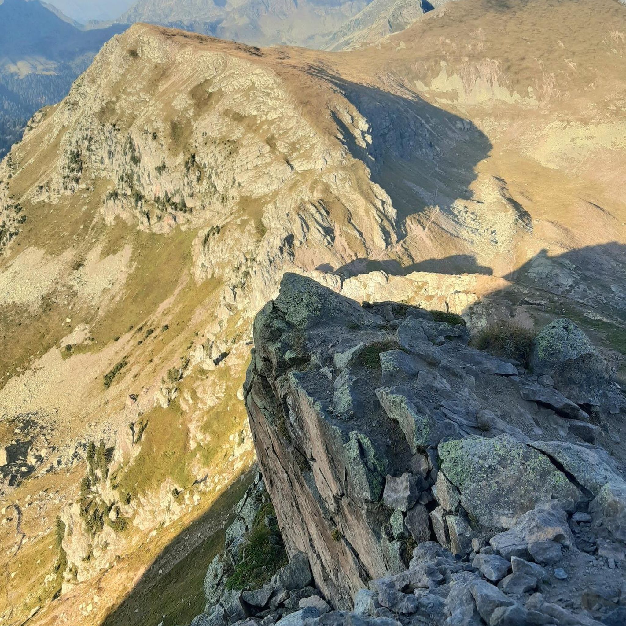
Jogging around Soyhières offers a diverse landscape characterized by mountainous terrain and a peaceful, green environment. The region features varied topography, including the rugged Ill Valley and the tranquil Lucelle Lake. Runners can expect routes that traverse natural surroundings, providing both challenging inclines and more leisurely paths. This setting makes Soyhières well-suited for exploring on foot.
Best jogging routes around Soyhières
- The most popular jogging route is Étang de l'Algérie loop from Delémont, a 6.4 miles (10.3 km) trail…
Last updated: May 15, 2026
3.0
(1)
48
runners
10.3km
01:10
200m
200m
Moderate run. Good fitness required. Mostly paved surfaces. Suitable for all skill levels.
3.0
(1)
23
runners
5.90km
00:49
210m
210m
Hard run. Good fitness required. Sure-footedness, sturdy shoes and alpine experience required.

Sign up for free
4.0
(1)
10
runners
6.08km
00:39
70m
70m
Moderate run. Good fitness required. Mostly paved surfaces. Suitable for all skill levels.
5.0
(1)
12
runners
6.75km
00:55
270m
270m
Hard run. Good fitness required. Sure-footedness, sturdy shoes and alpine experience required.
12
runners
7.88km
00:49
50m
50m
Moderate run. Good fitness required. Mostly paved surfaces. Suitable for all skill levels.
Get access to more routes and recommendations from other explorers.
Sign up for free
Already have an account?
Our route recommendations are based on thousands of hikes, rides, and runs completed by other people on komoot.
Start today with a free account
Your next adventure awaits.
Login or Signup
Tips from the Community

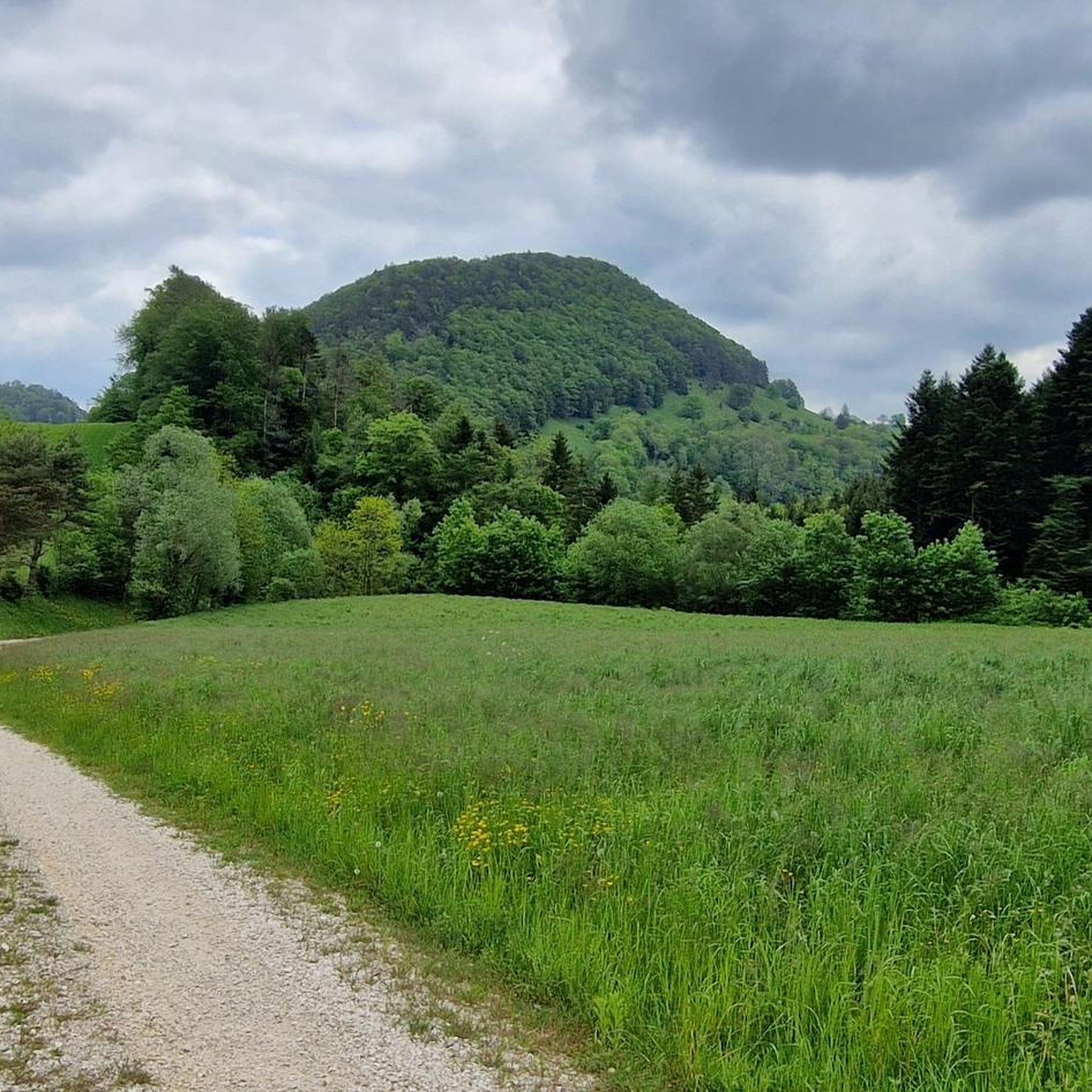
The Vorbourg ruin towers above Delémont and offers an impressive view of the valley. The medieval castle was probably built in the 12th century and later abandoned. Today, remnants of walls and parts of the complex are still preserved. The site exudes a special, almost mystical atmosphere. Easily accessible via hiking trails, the ruin is a popular destination for nature lovers and history enthusiasts. In combination with the nearby Vorbourg chapel, it makes for a rewarding excursion in the Jura.
6
0

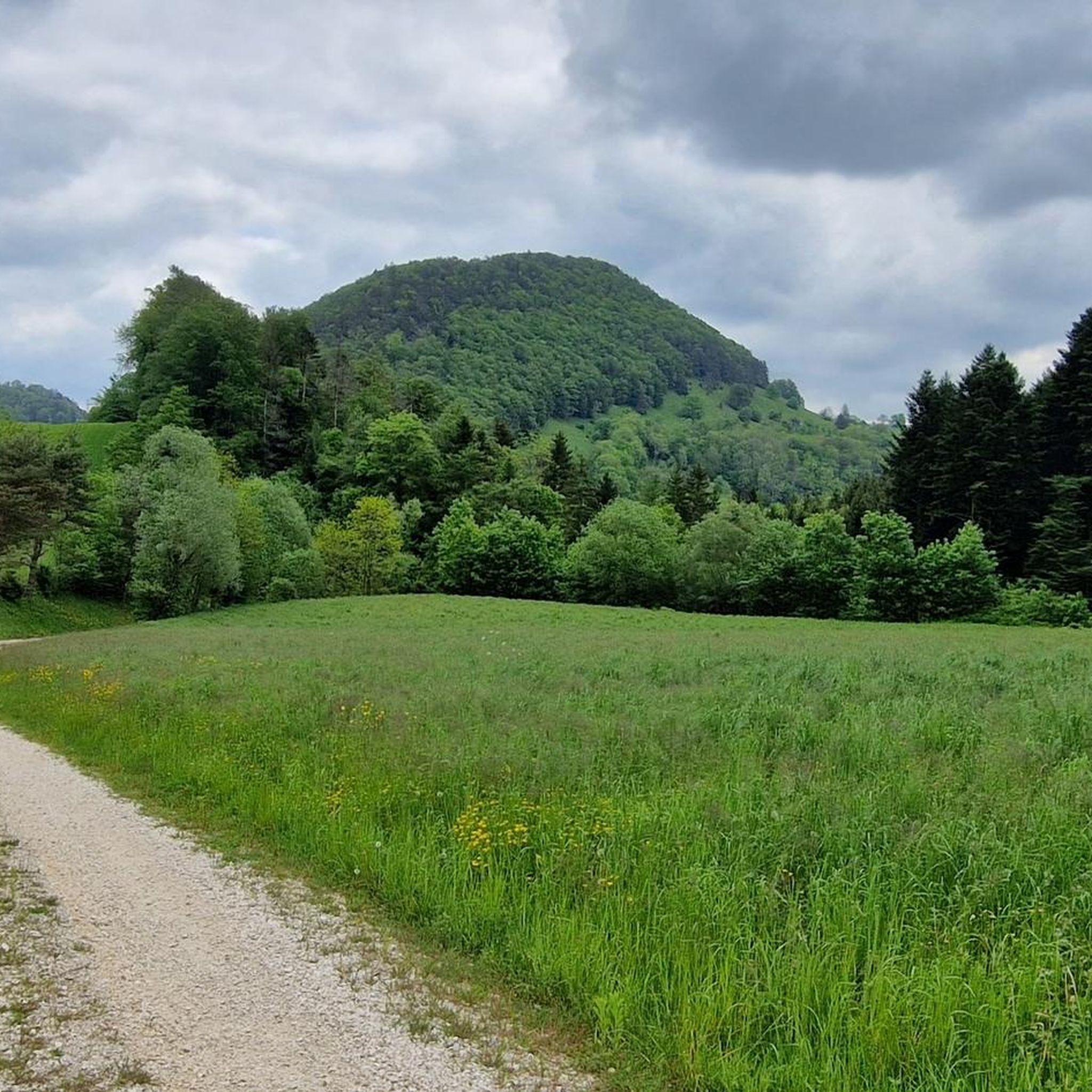
The view from the top of the valley is breathtaking, and you can see far and wide. Just the right amount of time before the descent to Delémont.
2
0

This small bridge takes you over the Birs and into the Val Terbi.
0
0

According to the documents of the time, they were called the lower castle and the upper castle of Telsperg. It was only well after their abandonment that they took the name of Vorbourg from the now-defunct hamlet. They were inhabited by the knights of Telsperg, a family of minor feudal nobility, who later took over various responsibilities on behalf of the Bishop of Basel. The first mention of a castle only appears in a document from 1234. But from 1131, several knights of Telsperg are cited, mainly as witnesses. Located on the southwest ridge of the Soyhères pass, two buildings rose 150 to 200 meters above the Birs to monitor the passage of travelers.
4
0

Beautiful route, all downhill, towards Basel.
0
0

Coming from the train station, cross the Birs. Tip: There is a restaurant with very good burgers at the train station (Holy Cow Gourmet Burger Co.)
0
0

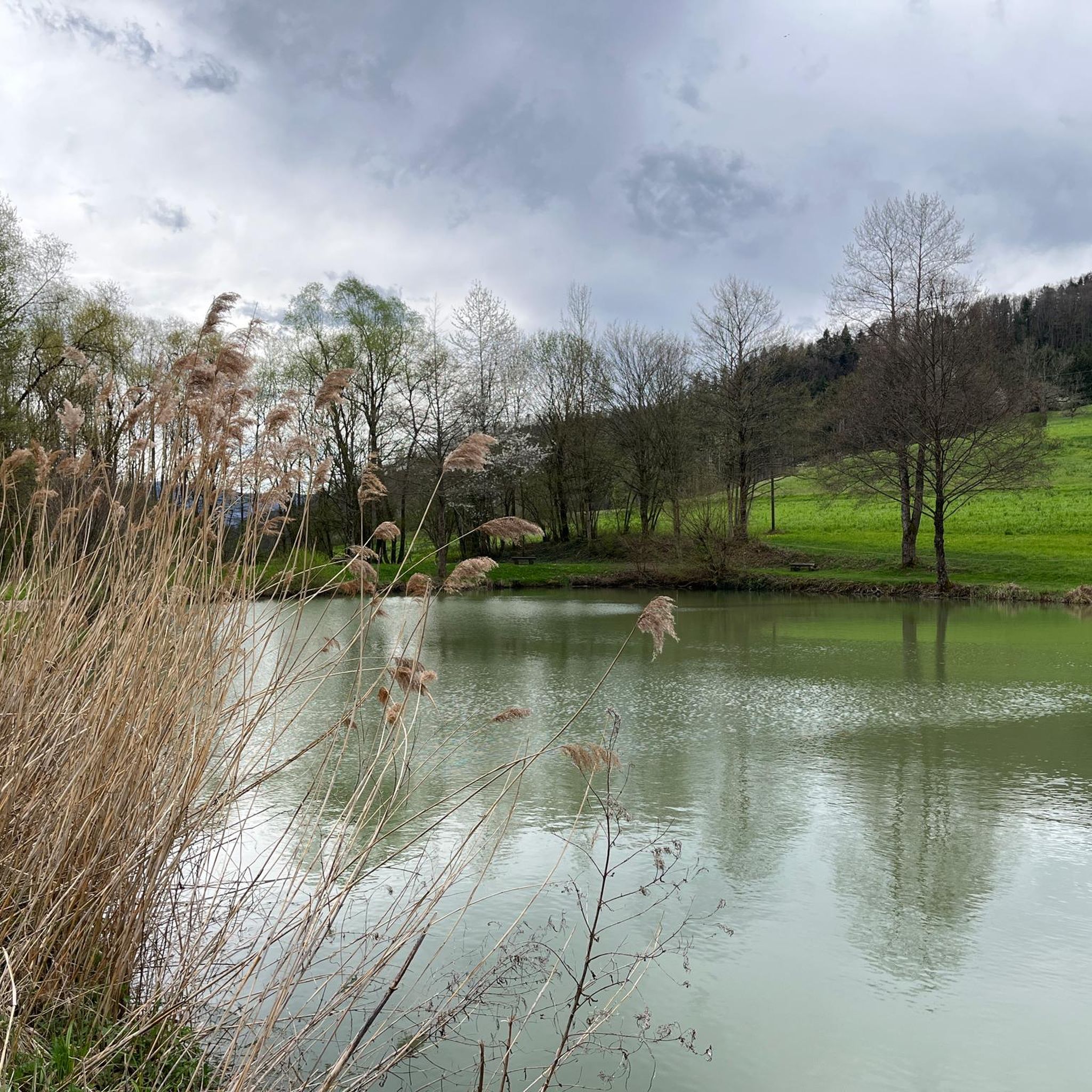
Many small hiking trails along the La Sorne River invite you to go for a run.
0
0

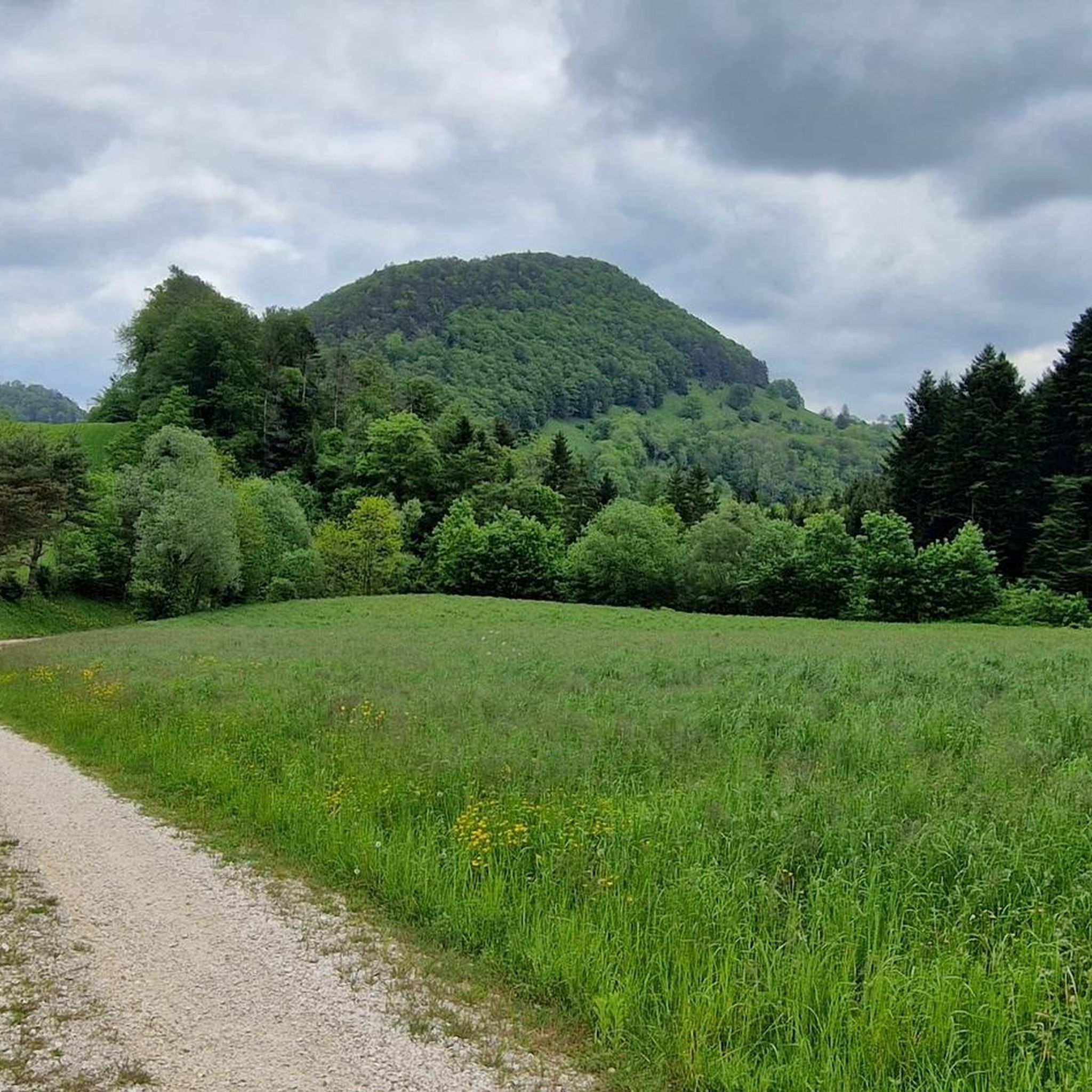
There you will find a fantastic observation board which accompanies this magnificent view of Delémont and beyond.
3
0
Frequently Asked Questions
How many running routes are available in Soyhières?
There are over 200 running routes around Soyhières, offering a wide variety of options for all skill levels. The komoot community has explored more than 2000 of these trails.
Are there easy running routes suitable for beginners in Soyhières?
Yes, Soyhières offers 10 easy running routes. These paths are generally flatter and shorter, perfect for those new to running or looking for a relaxed jog through the peaceful, green environment.
What kind of terrain can I expect on the jogging trails in Soyhières?
The region around Soyhières is characterized by mountainous terrain, so you can expect diverse routes. This includes challenging inclines, as well as more leisurely paths near bodies of water like Lucelle Lake, and trails through the scenic Ill Valley.
Are there any circular running routes in Soyhières?
Yes, many of the running routes in Soyhières are circular, allowing you to start and finish at the same point. For example, the Étang de l'Algérie loop from Delémont is a popular moderate option.
What are some scenic viewpoints or attractions I can see while running in Soyhières?
Soyhières offers several scenic spots. You might encounter the impressive Dwarves' Grotto (Grotte des Nains) with views of the Ill Valley, or the wild and romantic Lucelle Lake. For panoramic views, consider routes that pass near the ruins of Ferrette Castle, which offers superb vistas of the Vosges, Black Forest, and Jura mountains. You can also find highlights like the Hirtenhütte Remel or the Forest kiosk along some trails.
Are there any running routes that are particularly challenging?
Yes, for those seeking a challenge, Soyhières has 47 difficult running routes. These often feature significant elevation changes due to the mountainous terrain. An example is the La Haute Borne loop from Delémont, which includes substantial climbs.
What do other runners enjoy most about the trails in Soyhières?
The running routes in Soyhières are highly rated by the komoot community, with an average score of 4.5 stars. Runners often praise the diverse landscape, the peaceful natural surroundings, and the variety of trails that cater to different fitness levels, from tranquil paths to challenging climbs.
Are there any running routes that offer a good workout with significant elevation?
Absolutely. The mountainous relief of Soyhières means many routes offer considerable elevation gain. For instance, the Delémont viewpoint loop from Delémont features over 270 meters of ascent, providing a demanding and rewarding running experience.
Can I find running routes that pass by water features?
Yes, the region includes tranquil natural settings like Lucelle Lake, which is known for its wild and romantic appearance. While specific routes directly along its banks are not detailed, the presence of such features suggests opportunities for running near water. You might also find trails like the Singletrack Along the Lucelle, which hints at water proximity.
Are there any cafes or places to rest near the running routes in Soyhières?
While specific cafes directly on every route are not listed, the region does have amenities. For example, the Besenbeiz Busenberg is a cafe highlight in the area, and you might find other huts or shelters like the Grill Shelter in Solothurn Forest that could serve as resting points.
What is the best time of year to go running in Soyhières?
Soyhières offers a peaceful and green environment, making it suitable for running throughout much of the year. Spring and autumn typically provide pleasant temperatures and beautiful scenery. While winter running is possible, be prepared for potentially challenging conditions due to the mountainous terrain.
Most popular attractions around Soyhières

Get inspired with the komoot mobile app


Explore more
Browse the best Running Trails & Routes in other regions.
