The best gravel rides around Soyhières
4.6
(16)
233
riders
57
rides
Gravel biking around Soyhières offers diverse landscapes within the Jura Mountains of Switzerland. The region is characterized by rolling hills, rugged mountain paths, and dense forests, with a significant portion of its land being forested and agricultural. Soyhières is situated on the banks of the Birs river, providing scenic waterside routes. The terrain includes a mix of forest paths and single trails, suitable for varied gravel cycling experiences.
Best gravel bike trails around Soyhières
- The most popular gravel bike trail…
Last updated: May 21, 2026
4.0
(2)
21
riders
44.8km
02:58
620m
620m
Hard gravel ride. Very good fitness required. Mostly paved surfaces. Suitable for all skill levels.
5.0
(1)
16
riders
46.2km
03:01
540m
540m
Hard gravel ride. Very good fitness required. Mostly paved surfaces. Suitable for all skill levels.

Sign up for free
4.5
(2)
13
riders
66.9km
04:52
1,190m
1,190m
Hard gravel ride. Very good fitness required. Mostly paved surfaces. Suitable for all skill levels.
5.0
(2)
18
riders
32.8km
01:58
350m
350m
Moderate gravel ride. Good fitness required. Mostly paved surfaces. Suitable for all skill levels.
14
riders
35.3km
02:45
630m
630m
Hard gravel ride. Very good fitness required. Mostly paved surfaces. Suitable for all skill levels.
Get access to more routes and recommendations from other explorers.
Sign up for free
Already have an account?
Our route recommendations are based on thousands of hikes, rides, and runs completed by other people on komoot.
Start today with a free account
Your next adventure awaits.
Login or Signup
Tips from the Community

The Grand Étang de la Réselle is located near Delémont and is an idyllic pond in the middle of the forest. Surrounded by tranquility and nature, it offers a beautiful resting place for hikers. A circular path leads along the water and invites you to linger. Especially on warm days, the shady location provides pleasant coolness. The Étang is a rather unknown destination and therefore pleasantly quiet. In combination with the Vorbourg ruin, a varied hike can be planned.
5
0
The Stutzkapelle Liesberg is located above Liesberg on the quiet Stutzweg. The simple chapel serves as a place of devotion and invites hikers for a short break. Surrounded by the Jura hills, it offers a beautiful view and is a popular destination for walkers. Ideal for quiet moments on the go.
6
0

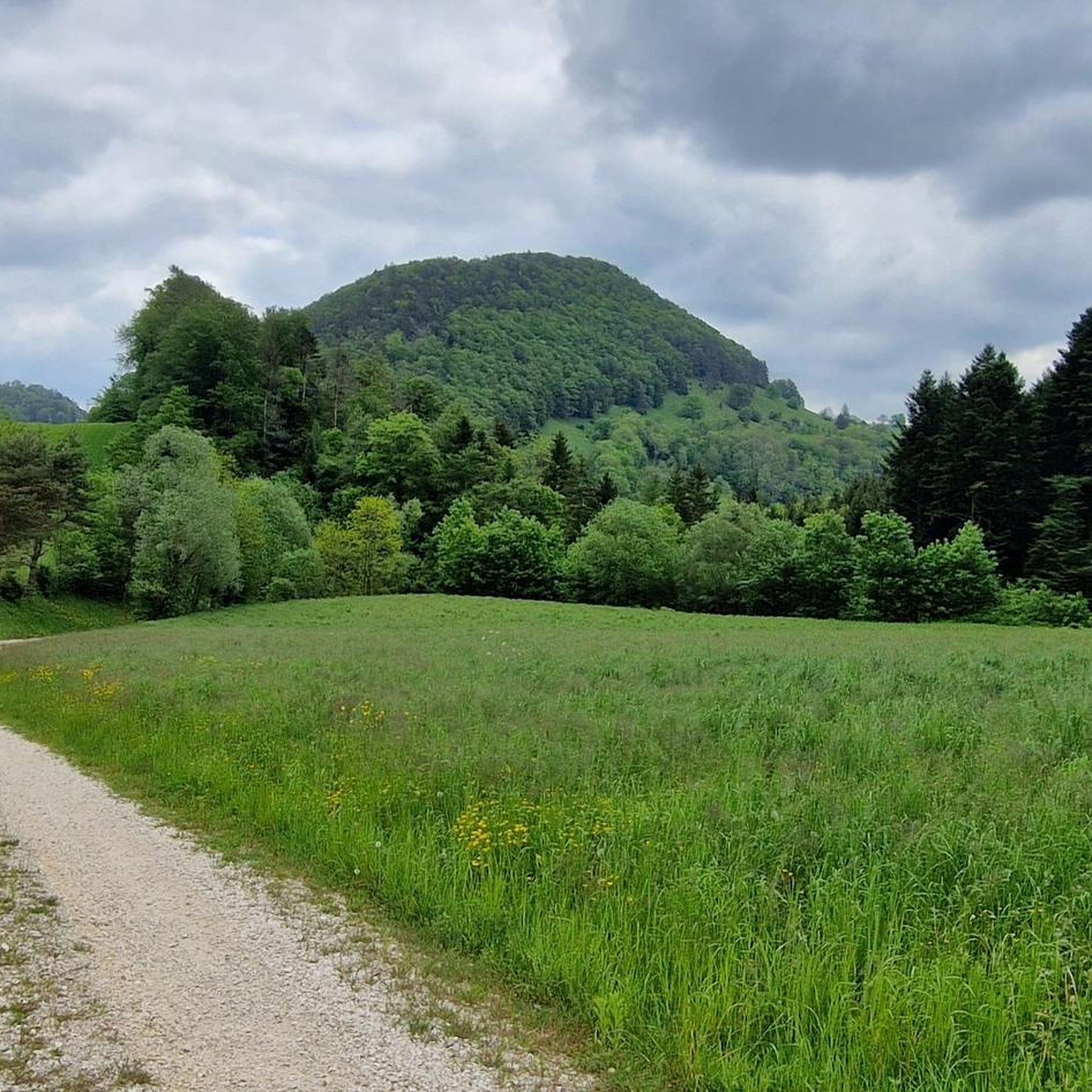
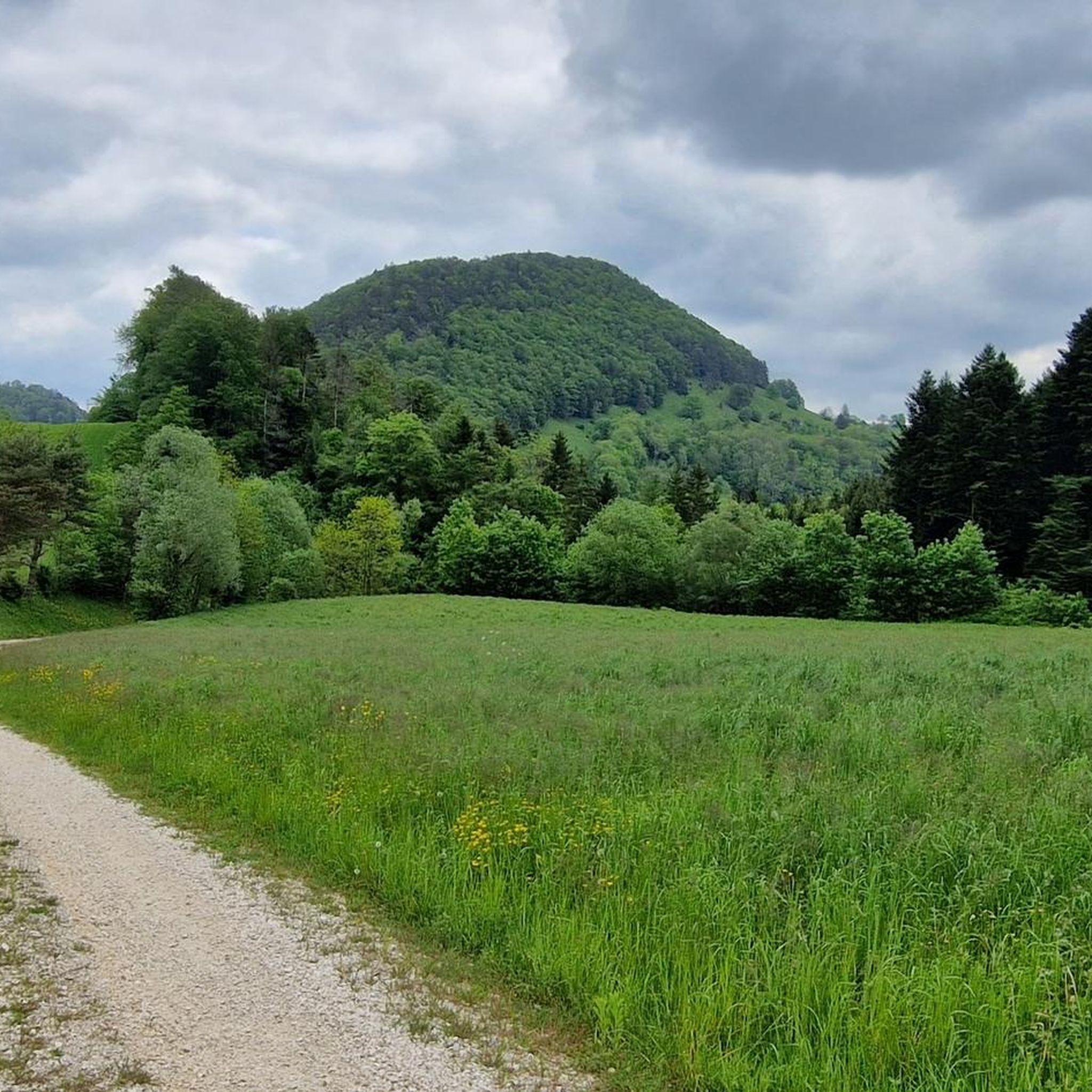
Here you cycle on finest gravel through the Jura. The Jura Bike Route could not be more varied: forest, meadows, and great views await you.
0
0

The pass appears unspectacular, but those who take the time for a short break can admire the southern Jura mountain ranges and the gentle hills to the north through the hedge.
0
0

There are better places to admire the Birs: It's always quite busy and there's heavy traffic here. Therefore, I recommend: Take a look as you drive by and move on.
0
0

Fishing, why not? A bit of a strange location, but entertaining.
1
1
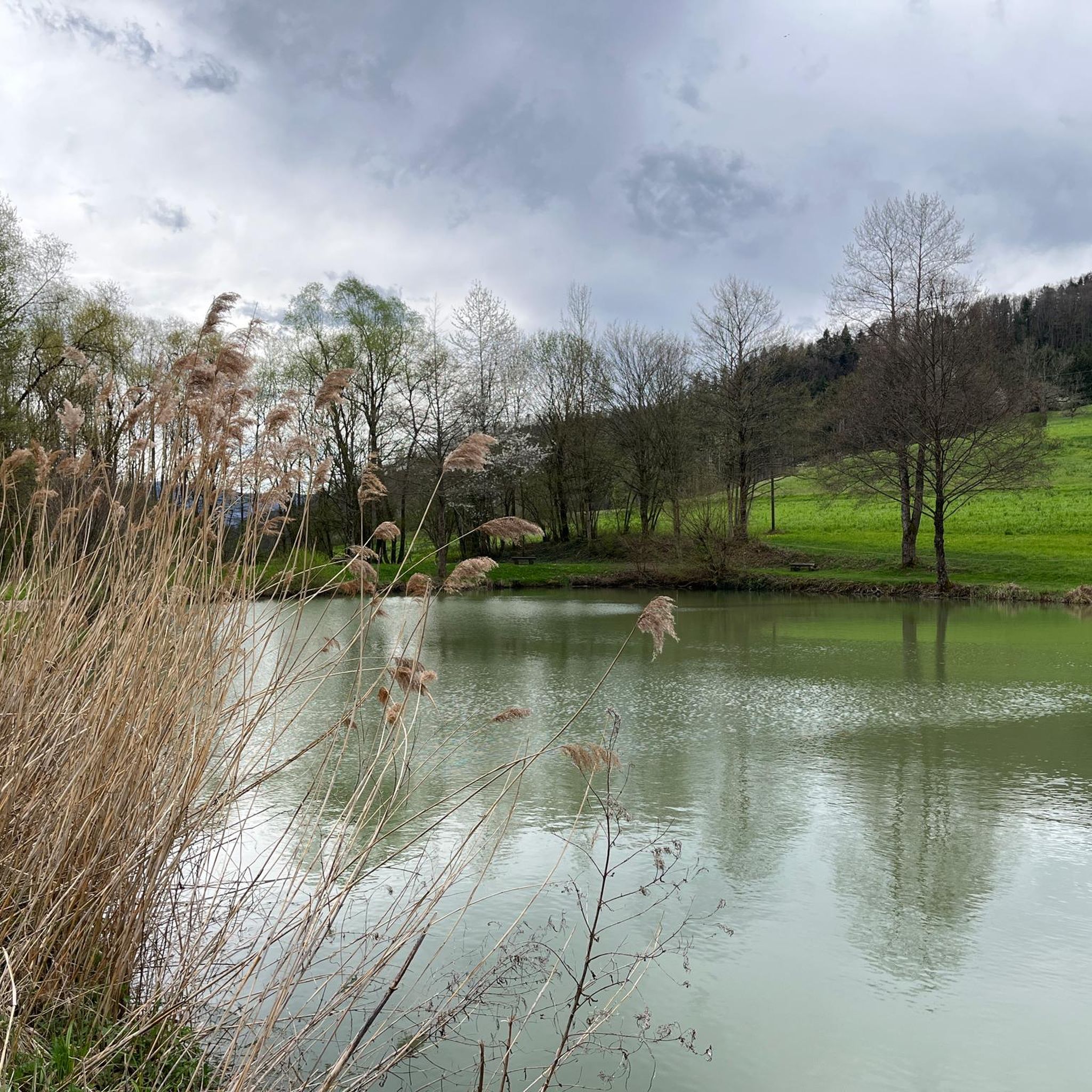
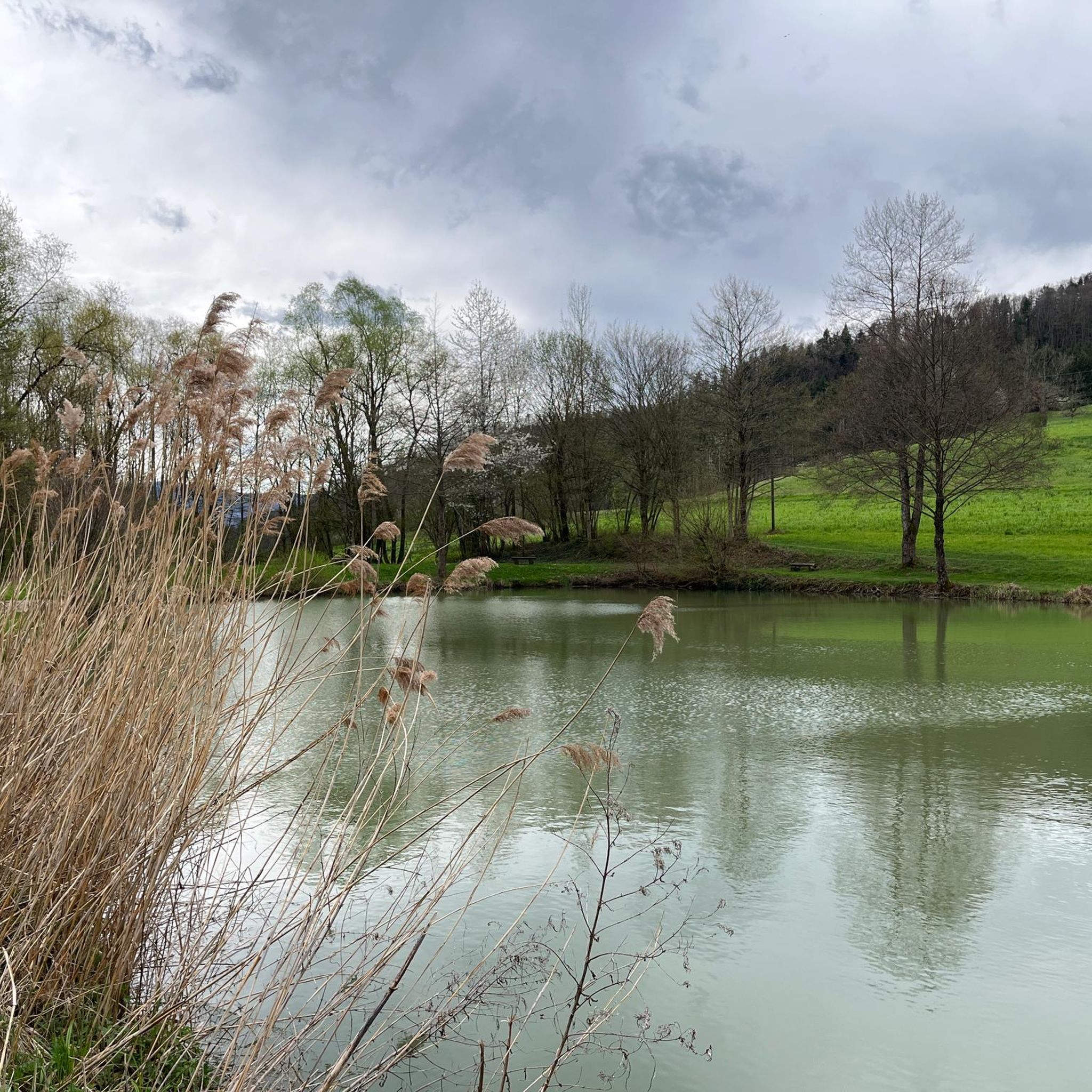
A small artificial fish pond. Beautifully situated and just right for a quick rest.
0
0

In Laufen, in the old town, there's a superb bakery with delicious things. Cozy and delicious.
0
0
Frequently Asked Questions
How many gravel bike trails are available around Soyhières?
The Soyhières region offers a wide selection of gravel bike trails, with over 75 routes available on komoot. These range from moderate to difficult, catering to various skill levels.
What kind of terrain can I expect on gravel bike trails near Soyhières?
The terrain around Soyhières is diverse, featuring rolling hills, rugged mountain paths, and dense forests. You'll encounter a mix of forest paths, single trails, and agricultural lands, often along the Birs river. The region's geological past has created unique formations, including dramatic steephead valleys and ridges, providing breathtaking panoramas.
What is the best time of year for gravel biking in Soyhières?
The best seasons for gravel biking in the Jura Mountains, including Soyhières, are generally spring and summer, when wildflowers bloom and temperatures are mild. Fall also offers vibrant foliage for scenic rides. Winter conditions can be challenging due to snow and ice, so spring through autumn are ideal.
Are there any family-friendly gravel biking options in Soyhières?
While many routes involve significant elevation changes, the region offers paths suitable for various skill levels. Look for routes that follow the Birs river, which tend to have gentler gradients. Always check the route details on komoot for specific difficulty ratings and elevation profiles to ensure it matches your family's capabilities.
What natural attractions can I see along the gravel bike trails?
Many gravel routes in Soyhières pass by significant natural features. You can explore impressive gorges like the Dwarves' Grotto or the Schachlete Gorge. The region also features picturesque riverine landscapes along the Birs and offers stunning viewpoints such as the Remelturm Observation Tower.
Are there any circular gravel bike routes around Soyhières?
Yes, many gravel bike routes in the area are designed as loops. For example, the Grand Étang de la Réselle – Birs near Soyhières loop from Delémont is a popular option, exploring varied landscapes. Another great choice is the Birs near Soyhières – Path Along the Birs River loop from Liesberg, which offers riverside scenery and forest sections.
What do other gravel bikers enjoy most about Soyhières?
The area is highly rated by the komoot community, with an average score of 4.7 stars from over 20 reviews. Reviewers often praise the diverse landscapes, the mix of forest paths and single trails, and the scenic beauty along the Birs river, making for unforgettable adventures.
Are there any challenging gravel routes for experienced riders?
Absolutely. Soyhières offers several difficult routes with significant elevation changes. For instance, the Birs near Soyhières – Eggflue Viewpoint loop from Delémont is a challenging 66.9 km route with over 1100 meters of elevation gain, ideal for advanced gravel cyclists seeking a demanding ride.
Can I find cafes or places to stop for refreshments along the trails?
While specific cafes directly on every trail are not guaranteed, Soyhières is situated on the banks of the Birs river, and routes often pass through or near villages like Delémont and Liesberg, where you can find amenities. Planning your route with komoot allows you to identify towns and potential stops along the way.
What are the options for parking or public transport access to the gravel trails?
Many routes start from towns like Delémont or Liesberg, which typically offer parking facilities. For public transport, Soyhières is accessible, and you can often reach trailheads in nearby larger towns by train or bus, allowing for convenient access to the region's gravel biking network.
Are there any specific viewpoints or panoramic spots on the gravel routes?
Yes, the region's dramatic steephead valleys and ridges provide excellent panoramic views. The Remelturm Observation Tower is a notable viewpoint, and routes like the Birs near Soyhières – Eggflue Viewpoint loop from Delémont are designed to include scenic spots like the Eggflue Viewpoint.
What is the average duration for a gravel bike tour in Soyhières?
The duration varies significantly depending on the route's length and difficulty. Moderate routes, such as the Birs near Soyhières – Path Along the Birs River loop from Liesberg (32.8 km), can take around 2 hours 30 minutes. Longer, more difficult routes, like the Path Along the Birs River – Birs near Soyhières loop from Delémont (46.2 km), might take closer to 3 hours 45 minutes.
Most popular attractions around Soyhières

Get inspired with the komoot mobile app


Explore more
Browse the best Gravel rides in other regions.
