The best walks and hikes around Soyhières
4.6
(938)
4,976
hikers
345
hikes
Hiking around Soyhières offers diverse landscapes within the Jura mountains, characterized by limestone formations and dense forests. The region features the Birs river valley, providing a natural backdrop to many trails. Elevated viewpoints, such as the Roc de Courroux, offer expansive views over the surrounding valleys and forested peaks. Trails traverse through vibrant meadows and serene forests, providing varied terrain for outdoor activities.
Best hiking trails around Soyhières
- The most popular hiking route is View from the Roc de Courroux…
Last updated: July 11, 2026
5.0
(3)
41
hikers
12.1km
03:53
480m
480m
Moderate hike. Good fitness required. Easily-accessible paths. Suitable for all skill levels.
4.0
(2)
14
hikers
15.1km
04:53
560m
560m
Hard hike. Good fitness required. Sure-footedness, sturdy shoes and alpine experience required.

Sign up for free
4.7
(3)
19
hikers
6.81km
02:02
190m
180m
Moderate hike. Good fitness required. Mostly accessible paths. Sure-footedness required.
5.0
(1)
7
hikers
8.30km
02:25
220m
220m
Moderate hike. Good fitness required. Easily-accessible paths. Suitable for all skill levels.
5.0
(15)
7
hikers
6.06km
01:40
100m
100m
Easy hike. Great for any fitness level. Easily-accessible paths. Suitable for all skill levels.
Get access to more routes and recommendations from other explorers.
Sign up for free
Already have an account?
Our route recommendations are based on thousands of hikes, rides, and runs completed by other people on komoot.
Start today with a free account
Your next adventure awaits.
Login or Signup
Tips from the Community

A "forced" stop: the tranquility of the place lends itself perfectly to a well-deserved short break (depending on the route already completed). 🙃
0
0

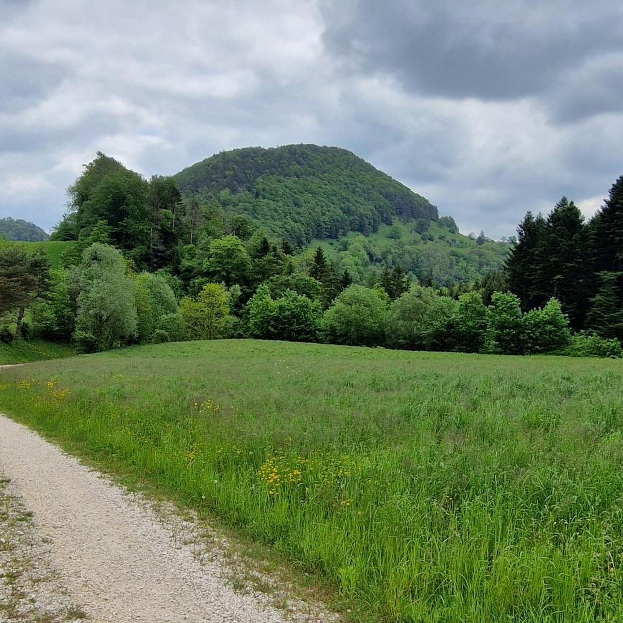
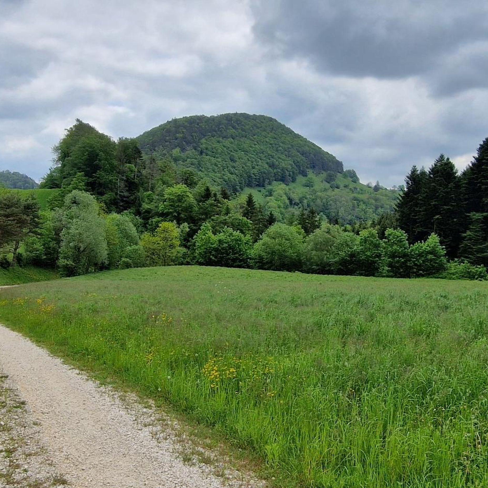
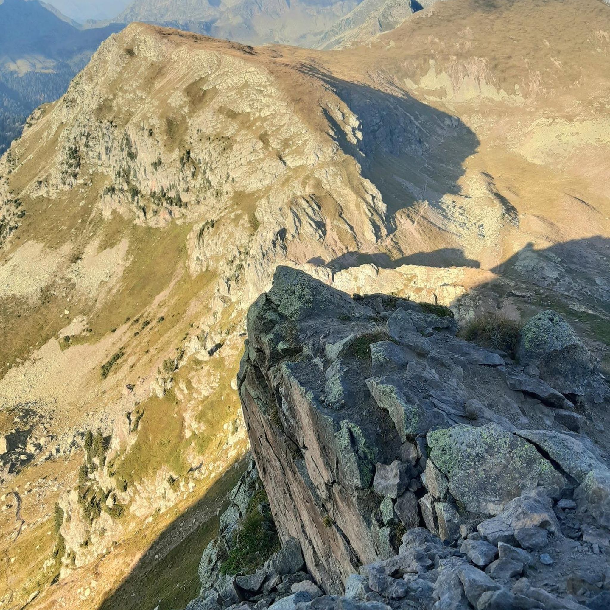
The Roc de Courroux is a striking Jura ridge above Courroux near Delémont. A short, steep climb leads to the scenic rocky ridge with views into the Birs valley and as far as Alsace. The loop trail winds through forests and over limestone cliffs and is ideal for a half-day hike.
5
0

Six stained-glass windows by André Bréchet adorn the Chapel of Notre-Dame de Lourdes, built in 1827 on the site of the first church in Soyhières. It is situated on a rocky outcrop rising north of the village.
0
0

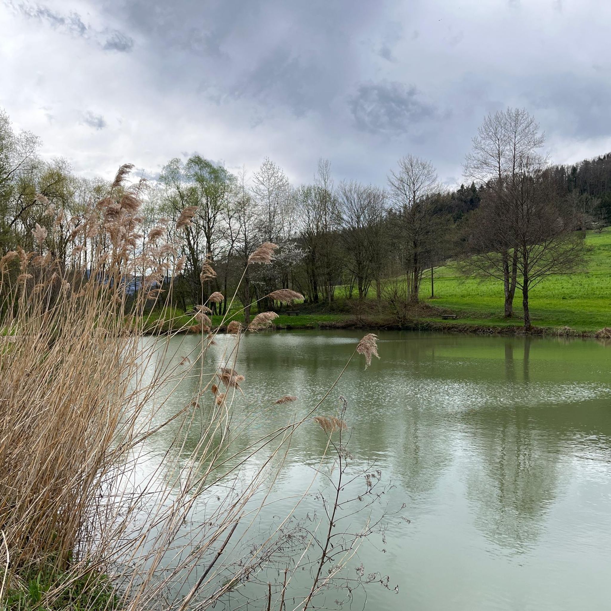
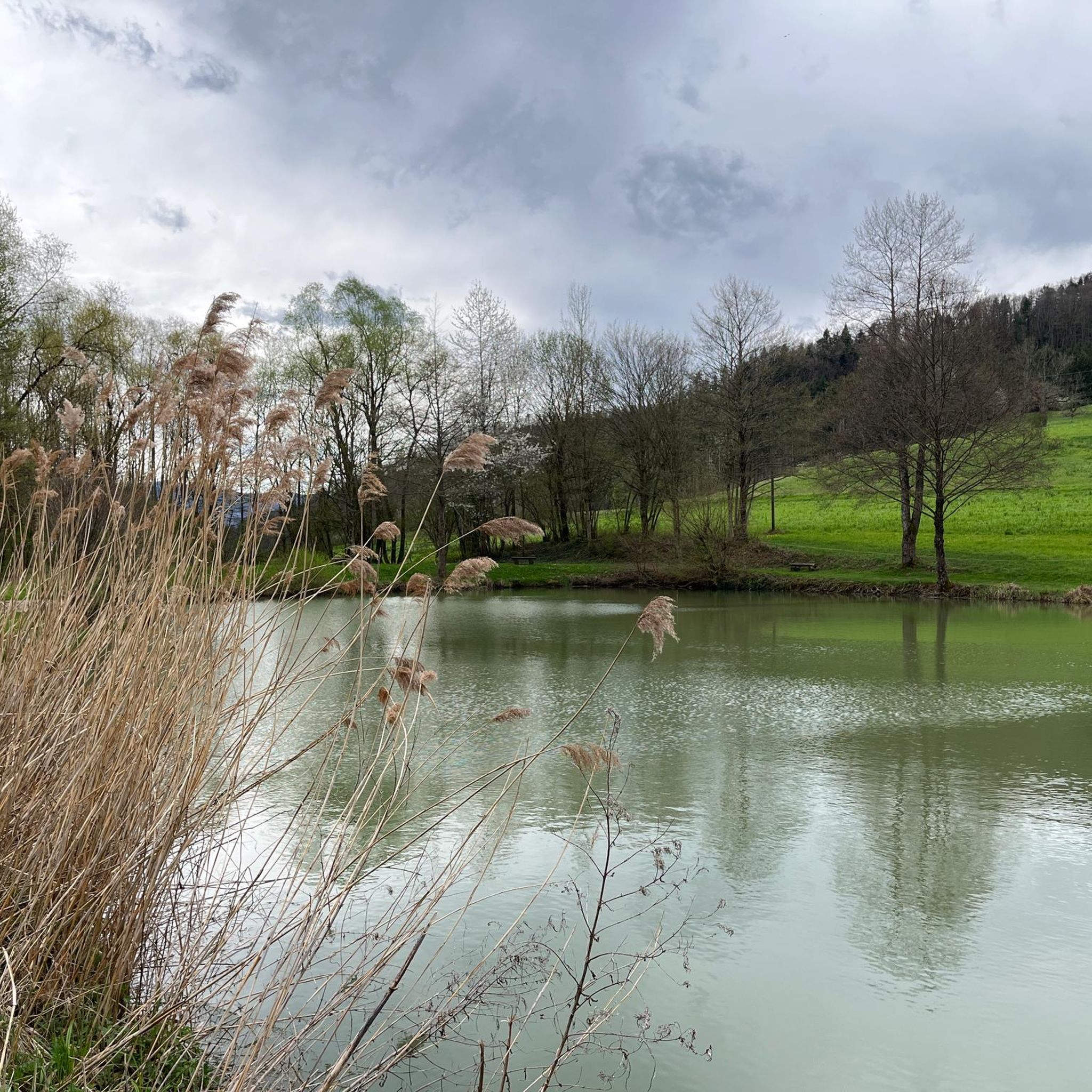
The name is a bit off-putting. What I found, however, was a pretty little valley with a small stream flowing through it. The only thing reminiscent of a "cookie" is a small rock niche with a fireplace. Perhaps the "Devil's Cookie" comes from the fact that when it rains heavily, the stream swells, and it's like the Devil's Cookie.
0
0

This small bridge takes you over the Birs and into the Val Terbi.
0
0

Beautiful route, all downhill, towards Basel.
0
0

Coming from the train station, cross the Birs. Tip: There is a restaurant with very good burgers at the train station (Holy Cow Gourmet Burger Co.)
0
0

The only place to sit for miles around. Definitely worth a break!
0
0
Frequently Asked Questions
How many hiking trails are available around Soyhières?
There are over 350 hiking trails around Soyhières, offering diverse landscapes within the Jura mountains. These routes cater to various skill levels, from easy walks to more challenging ascents.
Are there easy hiking trails suitable for beginners in Soyhières?
Yes, Soyhières offers over 100 easy hiking routes. A good option for a gentle walk is the Hiking loop from Soyhières, which leads through forests and meadows and is often completed in about 1 hour 40 minutes.
Which hikes offer the best panoramic views in Soyhières?
For breathtaking panoramic views, consider the View from the Roc de Courroux – View of Liesberg loop from Soyhières. This route offers expansive vistas across the Birs valley and the characteristic Jura landscape, extending as far as Alsace from the Roc de Courroux.
Are there any circular hiking routes in Soyhières?
Many trails in Soyhières are circular. The View of Le Bouec loop from Soyhières is a moderate 7.7 km route that provides a rewarding circular experience through the local scenery.
What kind of natural features can I expect to see on hikes around Soyhières?
Hiking around Soyhières allows you to experience the majestic Jura mountains with their limestone formations and dense forests. You'll encounter the Birs river valley, lush meadows, and dramatic rock formations like those found near the Grotte des Nains. The region is rich in natural beauty.
Are there any historical or cultural landmarks to see while hiking in Soyhières?
Yes, the Vorbourg Chapel – Bridge over the Birse loop from Soyhières includes the historic Vorbourg Chapel, an attraction built on a rocky outcrop in 1827. The village of Soyhières itself also features historic buildings and charming cafés.
What do other hikers enjoy most about the trails in Soyhières?
The hiking routes in Soyhières are highly rated by the komoot community, with an average score of 4.6 stars from over 800 reviews. Hikers often praise the diverse landscapes, from river valleys to forested ridges, and the well-maintained trails that offer a tranquil and immersive nature experience.
Are there any places to stop for refreshments or a break along the trails?
Yes, some routes may pass near facilities. For example, the Besenbeiz Busenberg is a cafe highlight in the area, and there are several huts and grill shelters like the Grill Shelter in Solothurn Forest that can provide a resting spot.
Can I bring my dog on the hiking trails in Soyhières?
Many trails in the Soyhières region are dog-friendly. The 'Soyhières Hiking Trail' mentioned in regional research is suitable for dogs. Always check specific route details on komoot for any restrictions or recommendations regarding pets.
What is the best time of year to go hiking in Soyhières?
Soyhières offers rewarding hiking experiences throughout much of the year. Spring and autumn provide pleasant temperatures and vibrant scenery, while summer is ideal for enjoying the lush forests. Winter hiking is also possible, though some trails may require appropriate gear due to snow or ice.
Are there any longer, more challenging hikes for experienced hikers?
Yes, for experienced hikers seeking a challenge, there are 30 difficult routes in the area. The View of Liesberg – View from the Roc de Courroux loop from Liesberg is a challenging 14.5 km route with significant elevation changes, offering a strenuous but rewarding experience.
What are some other points of interest near Soyhières that I could explore?
Beyond the trails, you could explore the wild and romantic ambiance of Lucelle Lake, located on the border with France, known for its waterfowl. The impressive Grotte des Nains, a natural gorge with towering rocks, is also a notable natural attraction leading to expansive views.
Most popular routes around Soyhières
Most popular attractions around Soyhières

Get inspired with the komoot mobile app


Explore more
Browse the best Hikes in other regions.
