The best traffic-free bike rides in Untere Mark
4.5
(5564)
34,787
riders
11
rides
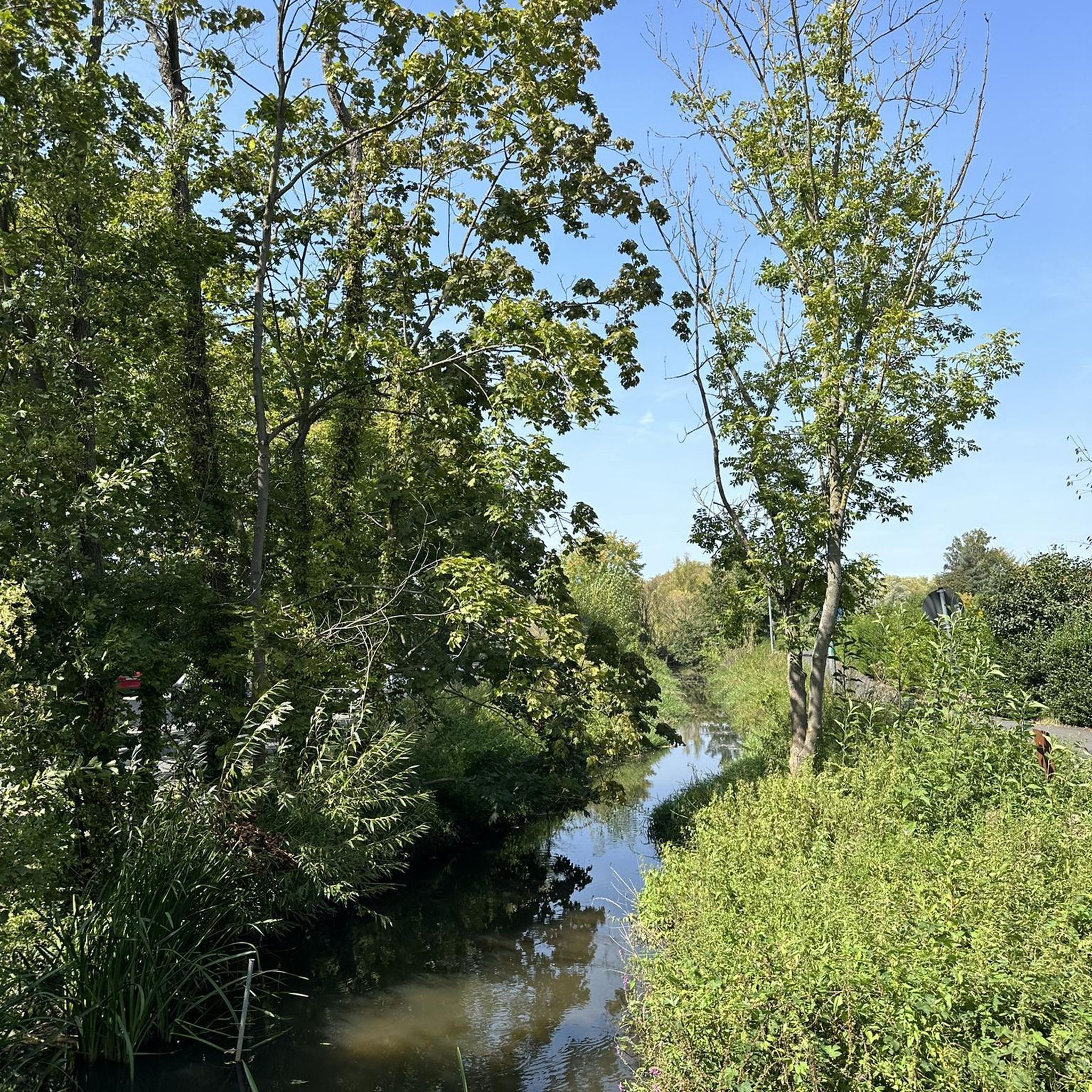
No traffic touring cycling routes in Untere Mark traverse a landscape primarily defined by extensive forests, including the Staatsforst Untere Mark and Forchheimer Stadtwald, and numerous water features such as wetlands, streams, and carp ponds. The region, an FFH-area, offers varied terrain ranging from flat paths along rivers like the Regnitz to gentle inclines through scenic, wooded areas. Situated as a gateway to Franconian Switzerland, Untere Mark provides a network of routes that connect natural beauty with historical sites.
Best…
Last updated: October 9, 2026
3.0
(1)
28
riders
14.9km
01:05
200m
200m
Moderate bike ride. Good fitness required. Mostly paved surfaces. Suitable for all skill levels.
5.0
(2)
23
riders
19.6km
01:19
140m
140m
Easy bike ride. Great for any fitness level. Mostly paved surfaces. Suitable for all skill levels.

5.0
(3)
18
riders
26.3km
01:54
250m
250m
Moderate bike ride. Good fitness required. Mostly paved surfaces. Suitable for all skill levels.
5.0
(2)
18
riders
13.8km
00:53
70m
70m
Easy bike ride. Great for any fitness level. Mostly paved surfaces. Suitable for all skill levels.
5.0
(1)
15
riders
31.4km
02:03
250m
250m
Moderate bike ride. Good fitness required. Mostly paved surfaces. Suitable for all skill levels.
Get access to more routes and recommendations from other explorers.
Already have an account?
Our route recommendations are based on thousands of hikes, rides, and runs completed by other people on komoot.
Tips from the Community

For those who plan to come here, for example, to Paris or Berlin, the direction and distance are shown. :D
0
0


Here you will find peace, relaxation and enjoy very good Franconian food. Family Eisgrub offers you a cozy atmosphere and the right premises for your celebration, conference or company and club outings in the typical Franconian inn. Also a very cozy beer garden.
2
0

An old-looking stone bridge crosses the Aisch near Weppersdorf. The bridge is closed to car traffic.
0
0

A statue of the Virgin Mary behind the fence can be admired from the farm track.
1
0

The Aisch weir, with its beautiful old half-timbered buildings, is an ideal place to relax for a few minutes and watch the anglers on the rushing Aisch River.
0
0
On a tall rectangular base, sandstone column and four-sided top, cross, first half of the 18th century
0
0
From the bridge over the Aisch River, you can see the Trailsdorf mill. Trailsdorf was first documented in 1109 under the name "Drawelesdorf." The mill itself is said to be as old as the village. When a waterwheel once clattered on the riverbank, paper was produced and flour was ground here. Nowadays, it functions only as a sawmill, and the turbine electricity is fed into the grid.
1
0
Frequently Asked Questions
How many no traffic touring cycling routes are available in Untere Mark?
Untere Mark offers a wide selection of peaceful, traffic-free touring cycling routes. You'll find nearly 740 routes designed for touring bikes, ensuring plenty of options to explore the region away from busy roads.
What kind of terrain can I expect on no traffic touring cycling routes in Untere Mark?
The no traffic routes in Untere Mark primarily traverse the region's extensive forests, offering serene and picturesque backdrops. You can expect a mix of well-maintained forest paths, some with fresh asphalt, and paths alongside water features like wetlands and ponds. While the wider Franconian Switzerland region can be hilly, many routes within Untere Mark and along river valleys offer gentle to moderate inclines, making them suitable for touring cyclists seeking a relaxed ride.
Are there any easy, family-friendly no traffic touring routes in Untere Mark?
Yes, Untere Mark is well-suited for family-friendly cycling with many easy, traffic-free options. Over 360 of the available routes are rated as easy. An excellent choice for a relaxed family outing is the Old Regnitz Bridge, Forchheim – Forchheim Weir loop, which is just over 13 km long with minimal elevation gain.
What can I see along the no traffic touring cycling routes in Untere Mark?
Beyond the natural beauty of the forests and water features, you can discover several points of interest. Keep an eye out for prehistoric burial sites and medieval quarry fields within the forest. For a break, you might encounter places like the Felsenkeller Utz Beer Garden or historical markers such as the Rote Marter Memorial, Buckenhofen and the Frankenmarter Wayside Shrine. The routes also offer glimpses of the region's rich biodiversity, including protected species.
Are there any circular no traffic touring bike routes in Untere Mark?
Yes, many of the no traffic touring routes in Untere Mark are designed as circular loops, allowing you to start and end at the same point. For example, the moderate St. George's Church, Poppendorf – Canal Bridge Forchheim loop offers a scenic circular ride of over 31 km.
What is the best time of year to cycle the no traffic routes in Untere Mark?
The best time to cycle the no traffic routes in Untere Mark is generally from spring through autumn. During these seasons, the weather is most pleasant for touring, and the forests are lush. Spring brings blooming flora, while autumn offers beautiful foliage. The dense forests also provide refreshing shade during warmer summer days.
Are there places to stop for refreshments or accommodation near the no traffic touring routes?
Yes, the region around Untere Mark, particularly near Forchheim and the charming villages along the routes, offers various options for refreshments and accommodation. You'll find cycle-friendly inns and hotels, as well as traditional beer gardens like the Felsenkeller Utz Beer Garden, perfect for a break during your tour.
What do other touring cyclists enjoy most about the no traffic routes in Untere Mark?
The komoot community highly rates the touring cycling experience in Untere Mark, with an average score of 4.5 stars from nearly 6,000 ratings. Cyclists often praise the peaceful, car-free environment, the beautiful forest scenery, and the well-maintained paths that make for a relaxing and enjoyable ride.
Can I access the no traffic touring routes in Untere Mark using public transport?
Untere Mark is situated near Forchheim, which serves as a gateway to the wider Franconian Switzerland region and has good public transport connections. You can often reach starting points for routes via regional trains or buses, making it possible to access car-free cycling routes without a private vehicle. It's advisable to check local public transport schedules for specific route access points.
Are there any routes that offer views over the Regnitz Valley?
Yes, some routes provide scenic vistas of the surrounding landscape, including the Regnitz Valley. The easy View over the Regnitz Valley – Trailsdorf Mill loop is a great option, specifically designed to offer these picturesque views during your traffic-free ride.
Are there any huts or shelters along the no traffic touring routes in Untere Mark?
Yes, within Untere Mark, you can find several huts and shelters that can serve as resting spots or points of interest during your ride. Notable examples include the Rabensberg Trail Junction and Rabenwälder Hut, the Old Forester's Hut, and the Försterhäusla near Burk.
Most popular routes in Untere Mark
Most popular attractions in Untere Mark

Get inspired with the komoot mobile app


Explore more
Browse the best Cycling routes in other regions.
