The best running trails in Untere Mark
3.5
(13)
195
runners
17
runs
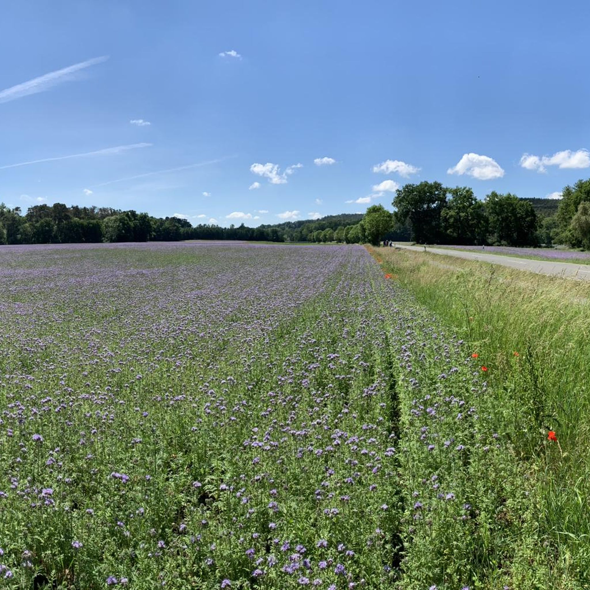
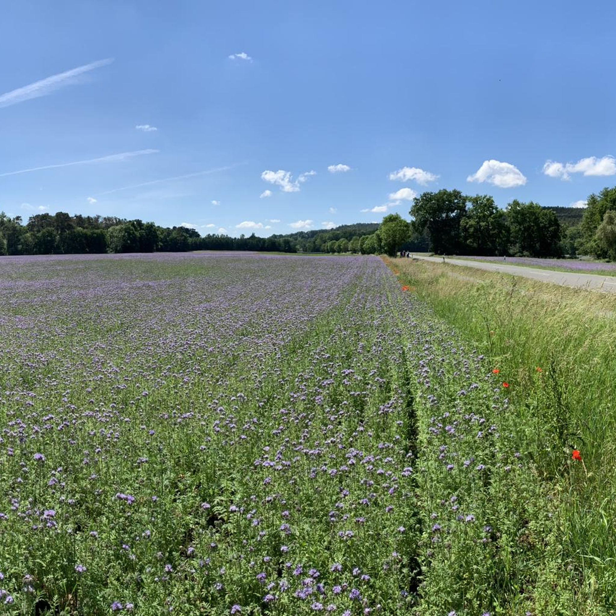
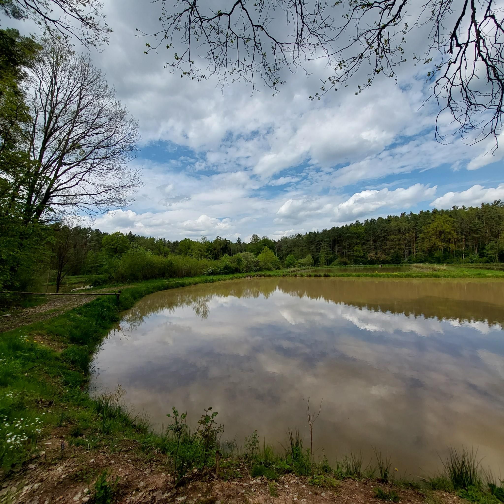
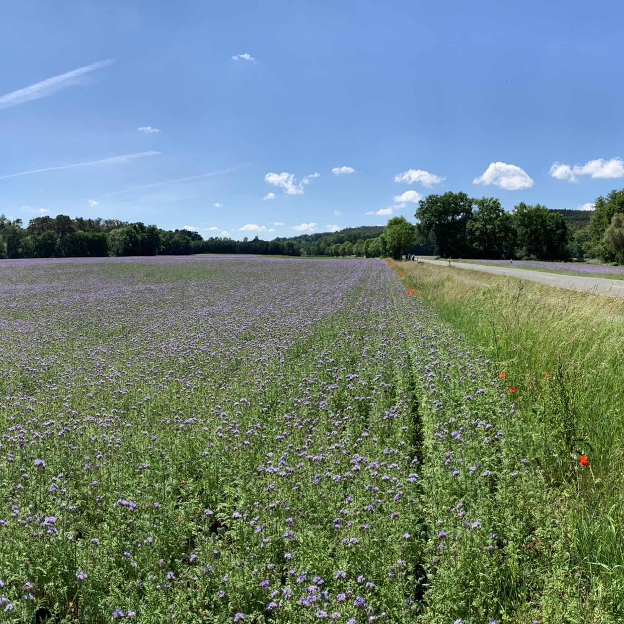
Jogging routes in Untere Mark traverse a diverse natural landscape in Upper Franconia, Germany. The region is characterized by extensive woodlands, including state and city forests, providing a lush environment for outdoor activities. It features protected habitats, such as the FFH-Gebiet, safeguarding various species, and includes natural forest areas. The terrain also incorporates wetlands and ponds, like the Sommerleite wetland and Eglofsteiner Weiher ponds, adding varied scenery to the running experience.
Best jogging routes in Untere Mark
- The most popular…
Last updated: September 30, 2026
5.0
(1)
22
runners
16.6km
01:45
200m
200m
Hard run. Very good fitness required. Mostly paved surfaces. Suitable for all skill levels.
21
runners
6.76km
00:43
90m
90m
Moderate run. Good fitness required. Mostly paved surfaces. Suitable for all skill levels.

3.0
(3)
16
runners
4.79km
00:31
90m
90m
Easy run. Great for any fitness level. Mostly paved surfaces. Suitable for all skill levels.
11
runners
5.64km
00:36
80m
80m
Moderate run. Good fitness required. Mostly paved surfaces. Suitable for all skill levels.
13
runners
Moderate run. Good fitness required. Mostly paved surfaces. Suitable for all skill levels.
Get access to more routes and recommendations from other explorers.
Already have an account?
Our route recommendations are based on thousands of hikes, rides, and runs completed by other people on komoot.
Start today with a free account
Your next adventure awaits.
Tips from the Community


The more than one meter high, two-story wooden boxes at a lofty five meters height are basically a "multi-story apartment building" for bats and offer enough space for entire extended families of bats to hibernate there in colonies. On the upper floor there is an insulated winter quarters that is connected to the "summer quarters" below. There are a total of 3 towers set up
4
0


6 forest paths and thus various hiking routes intersect here. A table and benches offer the opportunity to rest
4
0
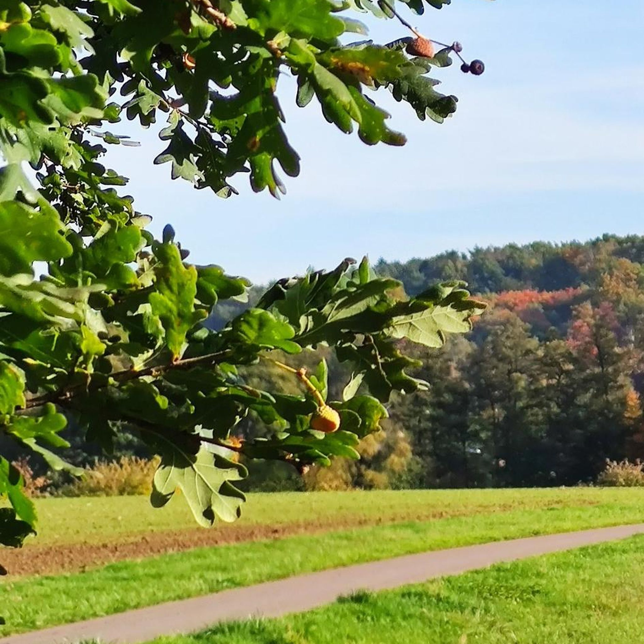
In addition to a nice rest area and six paths in all directions, there are really six oak trees.
0
0


Normally there is refreshing spruce water here, but unfortunately this small spring has dried up after the dry summer. Good for those who can feast on it again later.
0
0

Frequently Asked Questions
How many running routes are available in Untere Mark?
Untere Mark offers a diverse network of over 20 running routes, catering to various fitness levels and preferences. These trails traverse the extensive woodlands and natural landscapes of the region.
What kind of terrain can I expect on the jogging trails in Untere Mark?
The jogging trails in Untere Mark primarily lead through extensive woodlands, including state and city forests. You'll encounter a mix of forest paths, some with varied elevation, and areas featuring wetlands and ponds like the Sommerleite wetland and Eglofsteiner Weiher ponds, providing a scenic and engaging backdrop for your run.
Are there easy running routes suitable for beginners in Untere Mark?
Yes, Untere Mark has several easy running routes perfect for beginners or those looking for a relaxed jog. For example, the Six Oaks Junction loop from Forchheim is an easy 3.0-mile (4.8 km) trail that takes about 31 minutes to complete.
Can I find challenging or long-distance running trails in Untere Mark?
Absolutely. For experienced runners seeking a challenge, Untere Mark offers more difficult and longer routes. The Alte Marter – Six Oaks Junction loop from Hallerndorf is a difficult 10.3-mile (16.6 km) trail, typically completed in about 1 hour 45 minutes, leading through dense woodlands.
What natural features or landmarks can I see while jogging in Untere Mark?
While running in Untere Mark, you can experience its rich natural environment, including protected habitats and natural forest areas. Keep an eye out for wetlands and ponds, such as the Eglofsteiner Weiher ponds. You might also encounter historical sites like prehistoric burial mounds or medieval quarry areas. Notable highlights include the Rote Marter Memorial, Buckenhofen, and the Frankenmarter Wayside Shrine.
Are there any scenic viewpoints along the running paths?
While specific named viewpoints are not highlighted, the extensive forested area of Untere Mark, with its varied terrain and natural forest areas, offers many picturesque spots and tranquil sections. The trails often provide views into the lush woodland and glimpses of the wetlands and ponds, creating a scenic experience throughout your run.
Is parking available near the jogging trails in Untere Mark?
Yes, many running routes in Untere Mark are designed with accessibility in mind, and parking is generally available near trailheads, especially for routes starting from towns like Forchheim or Hallerndorf. It's advisable to check specific route details for precise parking information.
Are the jogging routes in Untere Mark accessible by public transport?
Untere Mark is a local recreation area west of Forchheim, making it accessible from nearby towns. While specific public transport stops directly at every trailhead might vary, routes starting from Forchheim, such as the Six Oaks Junction – Alte Marter loop from Forchheim, are generally well-connected via local public transport networks.
Are the jogging routes in Untere Mark suitable for families?
Yes, many of the easier and moderate routes in Untere Mark are suitable for families looking to enjoy a run or walk together. The extensive, protected woodlands provide a safe and pleasant environment. Routes like the Six Oaks Junction loop from Forchheim are good options for a family outing.
Can I bring my dog on the running trails in Untere Mark?
Untere Mark is a popular outdoor destination, and dogs are generally welcome on the running trails, provided they are kept under control, especially given the protected habitats within the FFH-Gebiet. Always ensure to follow local regulations regarding leashing and waste disposal.
Are there circular running routes in Untere Mark?
Many of the running routes in Untere Mark are designed as circular loops, offering a convenient way to start and end your run at the same point. Examples include the popular Running loop from Forchheim and the Start of Forest Descent – Six Oaks Junction loop from Forchheim.
What do other runners say about the trails in Untere Mark?
The running routes in Untere Mark are highly rated by the komoot community, with an average score of 3.9 stars from over 10 reviews. More than 200 runners have explored these trails, often praising the quiet woodlands, varied scenery, and the well-maintained paths that make for an enjoyable running experience.
What is the best time of year for running in Untere Mark?
Untere Mark offers a pleasant running experience throughout much of the year. Spring and autumn provide mild temperatures and beautiful foliage, while summer offers lush green surroundings. Even in winter, the forest trails can be invigorating, though conditions may vary. Always check local weather before heading out.
Most popular routes in Untere Mark
Most popular attractions in Untere Mark

Get inspired with the komoot mobile app


Explore more
Browse the best Running Trails & Routes in other regions.
