The best gravel rides in Untere Mark
4.5
(63)
355
riders
120
rides
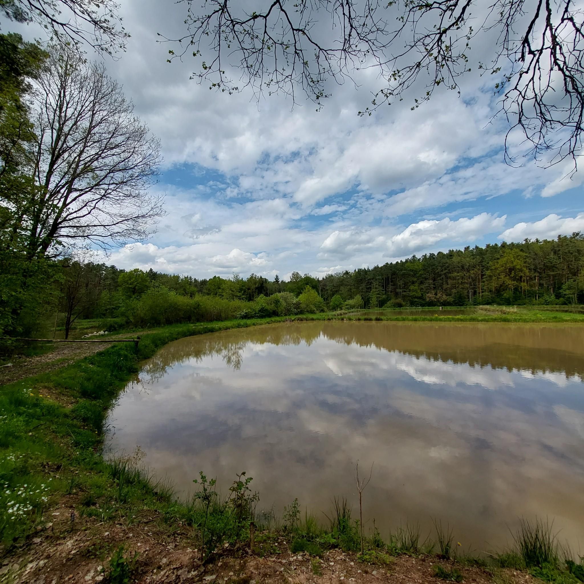
Gravel biking in Untere Mark offers diverse routes through a region characterized by extensive forest areas, including state, city, and private woodlands. This area features natural water sources, wetlands, and ponds, such as the protected Sommerleite wetland and Eglofsteiner Weiher ponds. The varied terrain provides opportunities for exploration across different landscapes within this local recreation area in the Upper Franconian district of Forchheim, Germany.
Best gravel bike trails in Untere Mark
- The most popular gravel bike trail is Black Pond…
Last updated: May 14, 2026
4.9
(8)
49
riders
56.3km
02:56
280m
280m
Moderate gravel ride. Good fitness required. Mostly paved surfaces. Suitable for all skill levels.
4
riders
74.2km
04:08
510m
510m
Hard gravel ride. Very good fitness required. Mostly paved surfaces. Suitable for all skill levels.

Sign up for free
7
riders
118km
06:52
870m
870m
Hard gravel ride. Very good fitness required. Mostly paved surfaces. Suitable for all skill levels.
10
riders
46.4km
02:25
240m
240m
Moderate gravel ride. Good fitness required. Mostly paved surfaces. Suitable for all skill levels.
4.4
(5)
37
riders
71.5km
05:55
1,070m
1,070m
Hard gravel ride. Very good fitness required. Some segments of this route may be unpaved and difficult to ride.
Get access to more routes and recommendations from other explorers.
Sign up for free
Already have an account?
Our route recommendations are based on thousands of hikes, rides, and runs completed by other people on komoot.
Start today with a free account
Your next adventure awaits.
Login or Signup
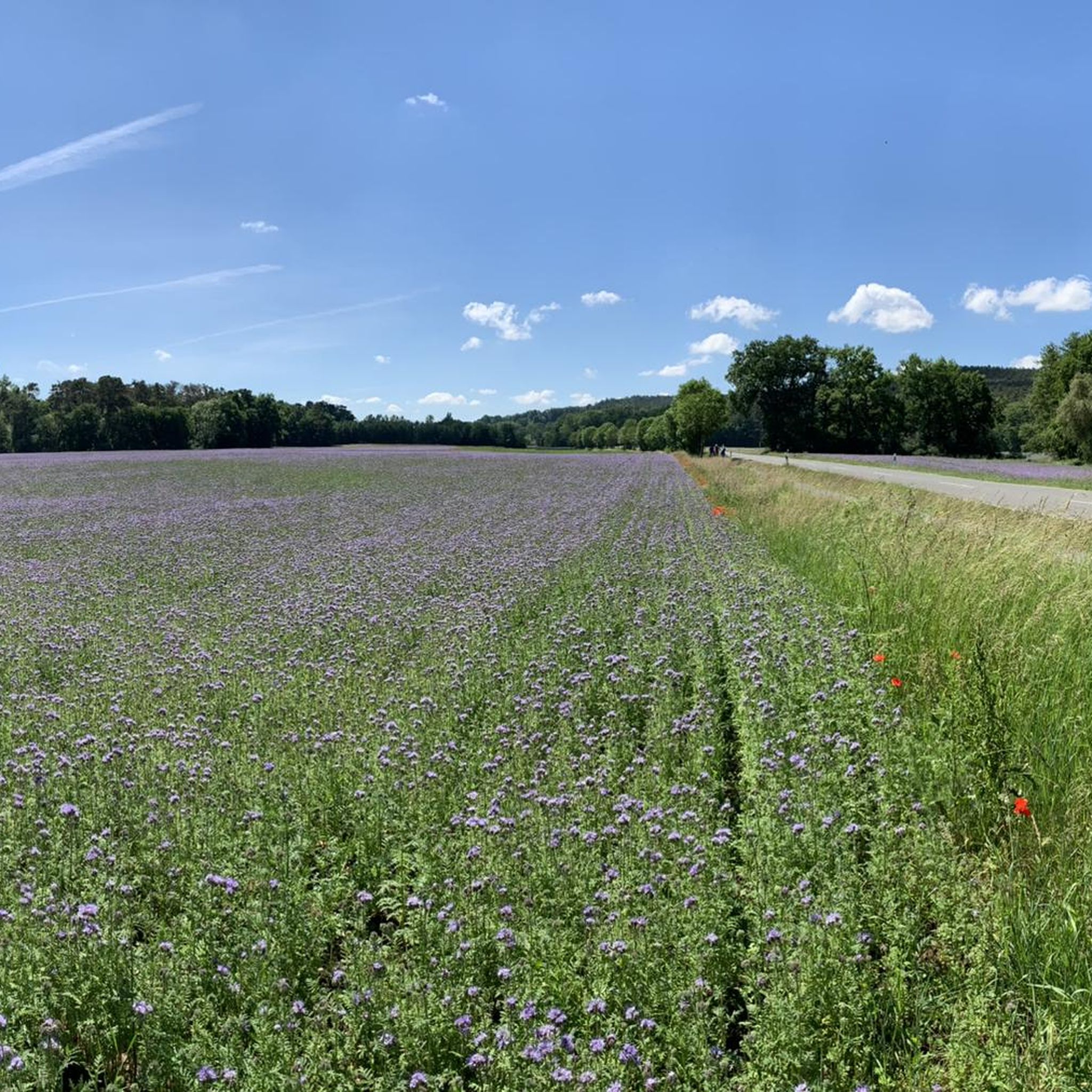
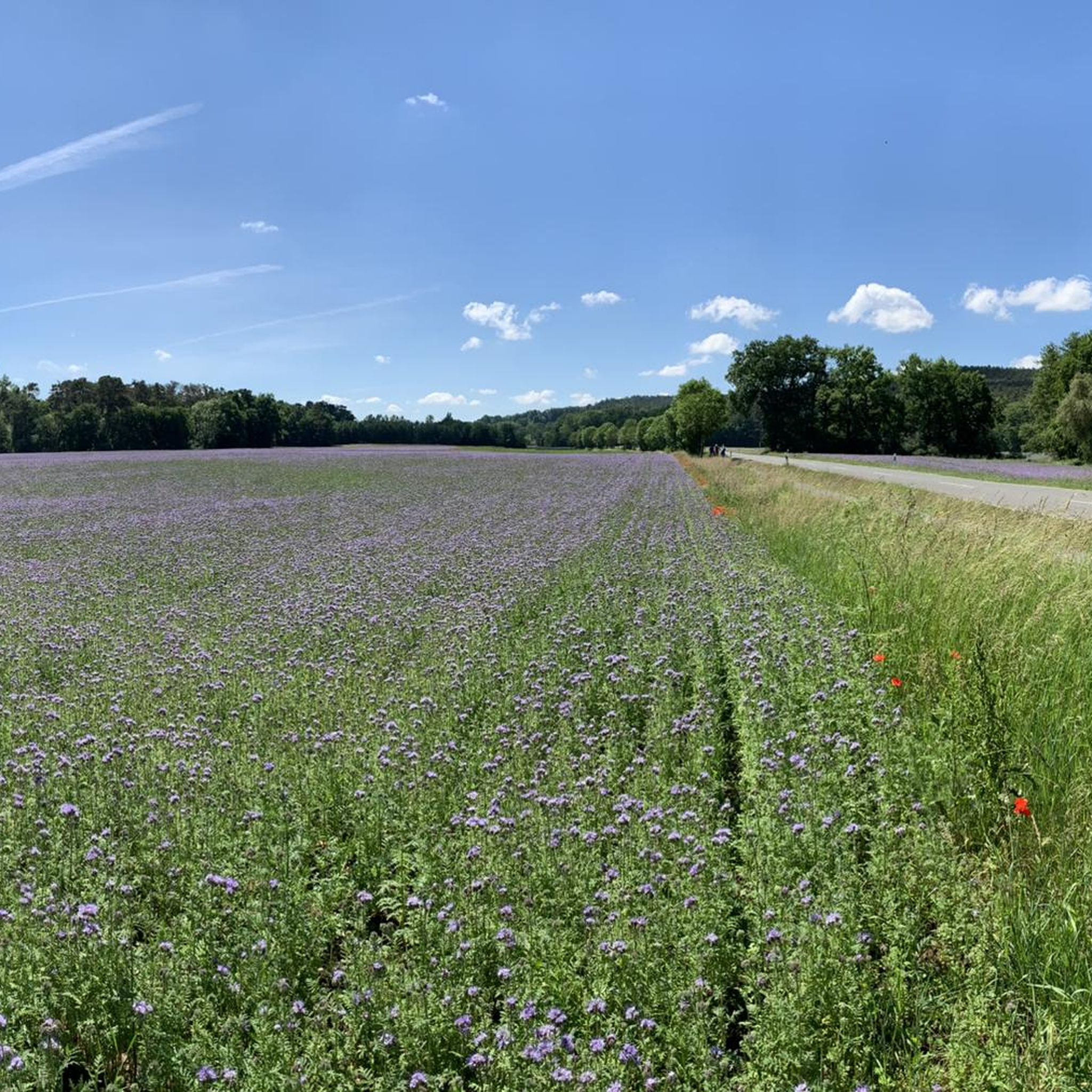
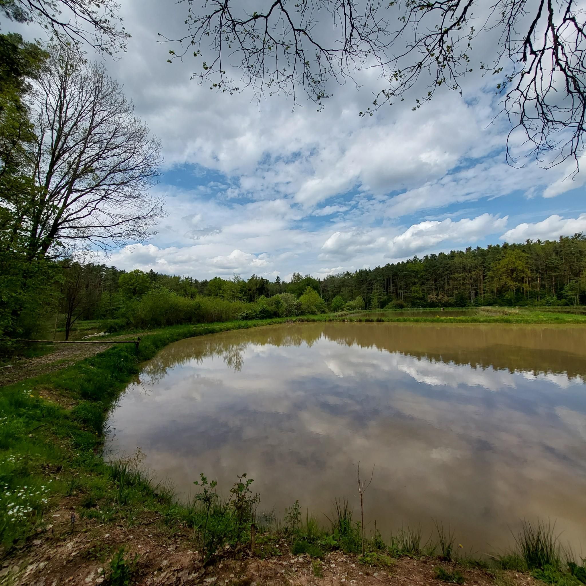
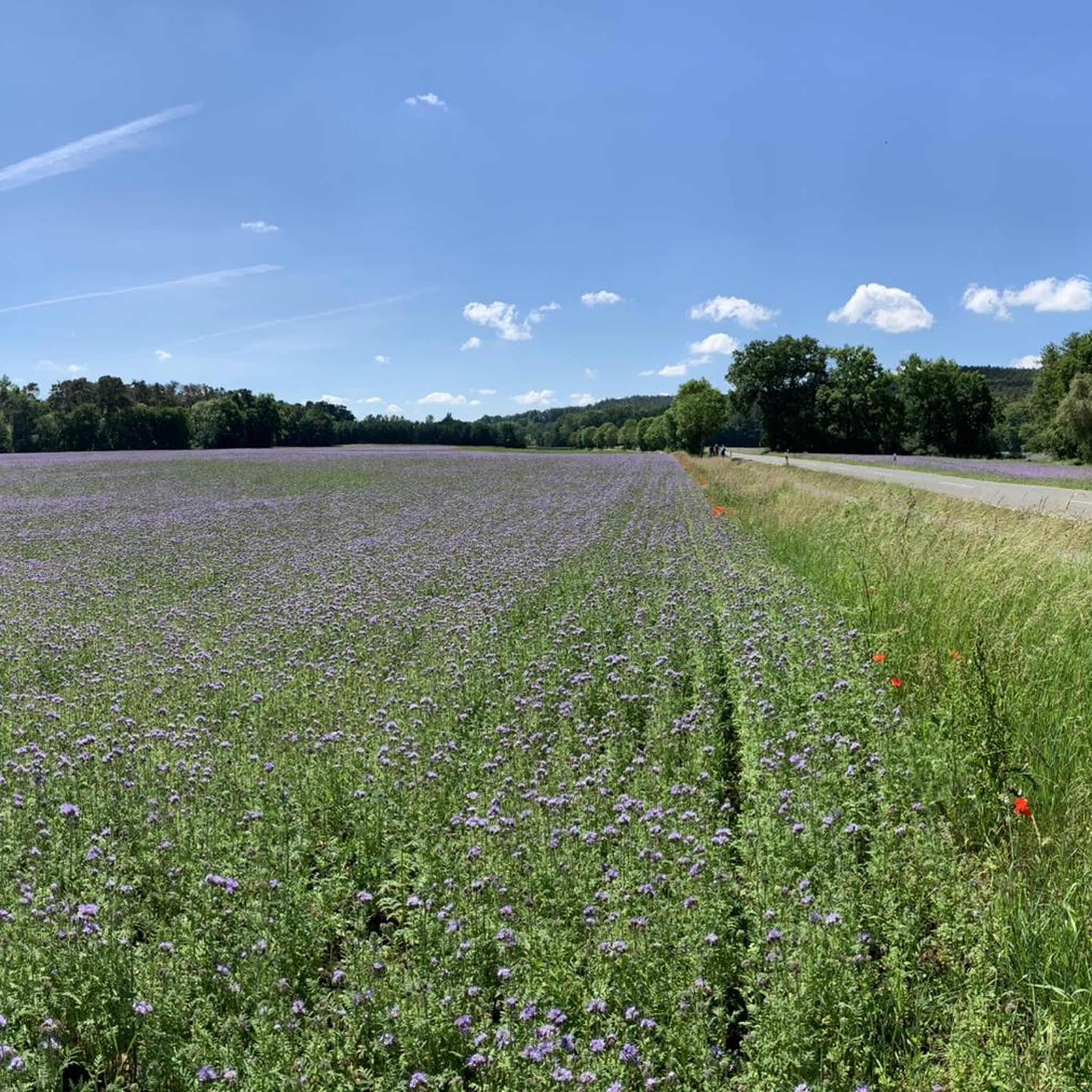

Tips from the Community

The Meierseen are located on the route between Lauf (Adelsdorf) and Förtschwind.
0
0
An old-looking stone bridge crosses the Aisch near Weppersdorf. The bridge is closed to car traffic.
0
0

Great scenery for cycling. It also works great with a gravel bike.
0
0

It would currently be advisable to bypass the area widely.
1
0
Excellent views both upstream and downstream. You can also enjoy watching the activity in the boat harbor. The statues of the Virgin Mary and St. John Nepomuk (?) on the bridge are definitely worth a second look.
3
0

A good view of the Regnitz here.
6
0

You pass directly by on the cycle path.
1
0

Frequently Asked Questions
How many gravel bike trails are available in Untere Mark?
Untere Mark offers a wide selection of gravel bike trails, with over 260 routes mapped on komoot. This includes 48 easy, 129 moderate, and 83 difficult options, ensuring there's a suitable trail for every skill level.
Are there gravel bike trails suitable for beginners or families in Untere Mark?
Yes, Untere Mark has several easy gravel bike trails perfect for beginners or family outings. One excellent option is the Dechsendorf–Röttenbach Cycle Path – Main-Danube Canal Cycle Path loop from Hemhofen, an easy 22.3 km route that offers a pleasant ride through the scenic landscape.
What options are there for experienced gravel bikers looking for a challenge?
For experienced gravel bikers seeking a more demanding ride, Untere Mark features 83 difficult routes. A notable challenging trail is the Brewery on the Kreuzberg – Pond Landscape loop from Forchheim Nord, which spans 117.4 km and includes significant elevation changes, traversing diverse forest landscapes and pond areas.
Are there circular gravel bike routes in Untere Mark?
Many of the gravel bike routes in Untere Mark are designed as circular loops, allowing you to start and end at the same point. For example, the Trailsdorf Mill – Old Mill Trailsdorf loop from Hemhofen is a moderate 55.9 km circular path that takes you through varied forest scenery.
What kind of natural features can I expect to see along the gravel bike trails?
The gravel bike trails in Untere Mark wind through diverse natural landscapes, including extensive state and city forests, wetlands, and natural water sources. You'll encounter scenic ponds like Käsperlsweiher and the protected Sommerleite wetland, adding to the region's ecological interest and beauty.
Are there any interesting landmarks or points of interest along the routes?
Yes, the region is dotted with interesting natural monuments and historical sites. You might pass by the unique Six Oaks Junction, the mysterious Devil's Well, or the Fichtenbrunnen, a natural spring. These highlights offer great spots for a break or a photo opportunity.
Where can I find parking for gravel biking in Untere Mark?
Many trails in Untere Mark offer convenient parking options. Look for designated areas such as the Hiking Car Park and Shelter, which provides a good starting point for exploring the forest trails.
What do other gravel bikers enjoy most about Untere Mark?
The komoot community highly rates gravel biking in Untere Mark, with an average score of 4.5 stars from over 200 reviews. Riders frequently praise the diverse forest landscapes, the tranquility of the natural water sources, and the variety of routes available for all skill levels.
Is Untere Mark a protected natural area?
Yes, parts of Untere Mark are designated as protected areas, including the FFH-Gebiet 6231-371, known as "Waldgebiet Untere Mark." This zone covers over 800 hectares and protects various species, such as Bechstein's bat and the noble crayfish, highlighting the region's ecological importance. Please respect local regulations to preserve these habitats.
Are there any huts or shelters along the gravel bike routes?
Yes, you can find several huts and shelters within Untere Mark that provide a place to rest. Notable spots include the Rabensberg Trail Junction and Rabenwälder Hut, the Old Forester's Hut, and the Försterhäusla near Burk. These can be convenient for a short break during your ride.
What is the best time of year for gravel biking in Untere Mark?
Untere Mark is enjoyable for gravel biking throughout much of the year. Spring and autumn offer pleasant temperatures and beautiful scenery with changing foliage. Summer provides longer daylight hours, while winter can offer unique riding conditions, though some paths might be affected by snow or ice. Always check local weather conditions before heading out.
Most popular routes in Untere Mark
Most popular attractions in Untere Mark

Get inspired with the komoot mobile app


Explore more
Browse the best Gravel rides in other regions.
